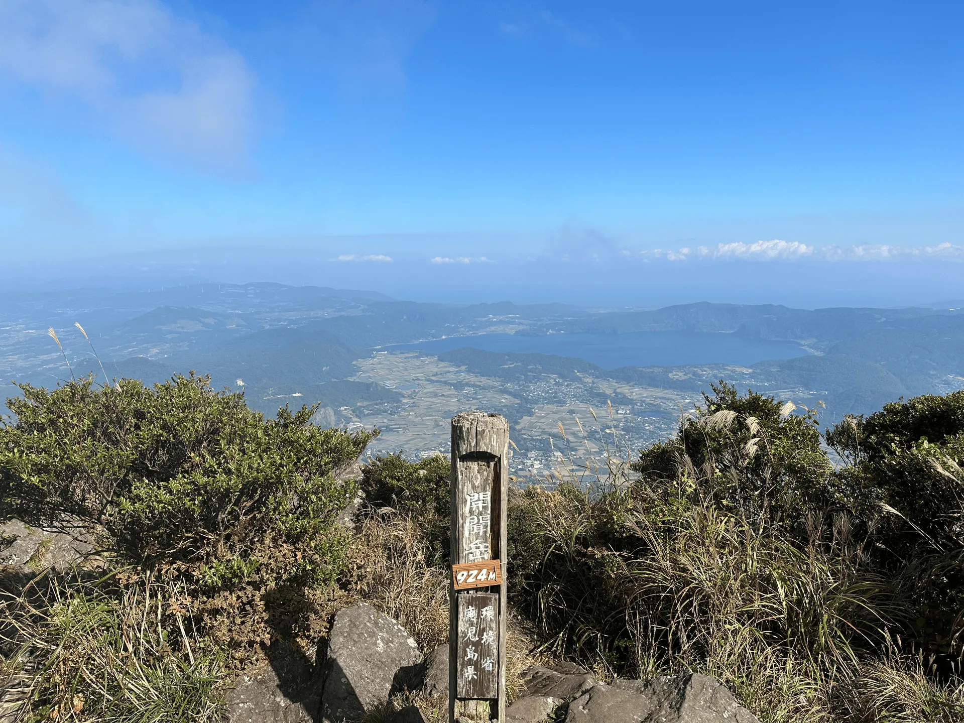
The fourth and final mountain in my Kyushu trip last year was Kaimondake (開聞岳, kaimon-dake) or Mt Kaimon, a mini Mt Fuji that sits right at the bottom of Kagoshima prefecture. From the top of this mountain you get great views of the sea and up the coast of Kagoshima prefecture.
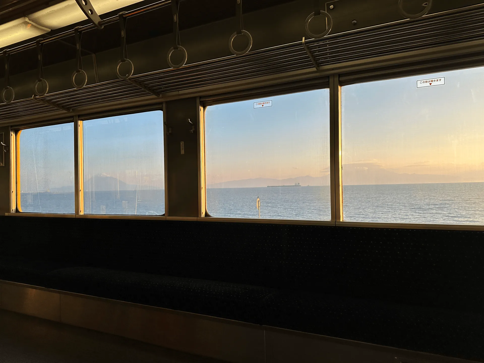
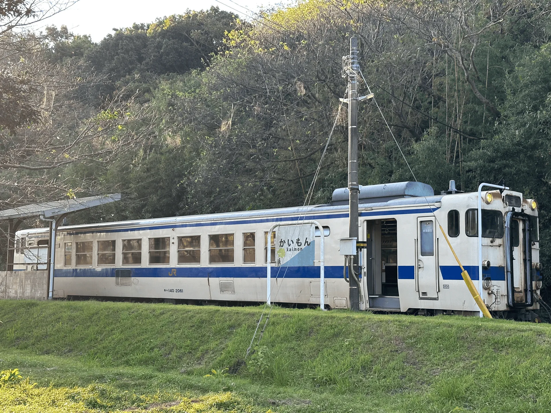
Mt Kaimon is very much in the countryside, but luckily is still public-transport accessible. After climbing Mt Aso the day before, I spent the night in Kagoshima, and took a local train from there to Kaimon station.
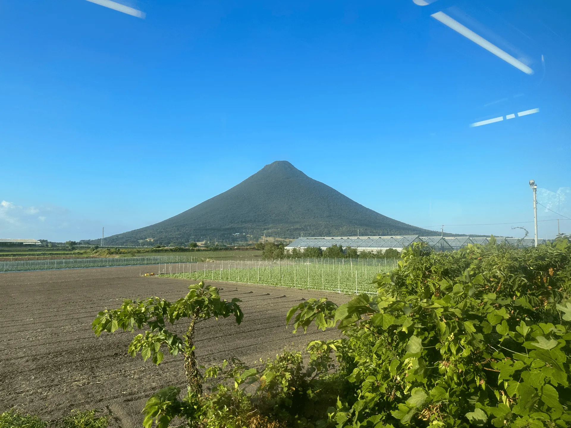
As you begin your hike in the sleepy town of Kaimon, you can immediately see the mountain in front of you. Although it’s actually the second shortest 100 Famous Mountain at 924m (only Mt Tsukuba is shorter), since there’s no other mountains in the area it really stands out.
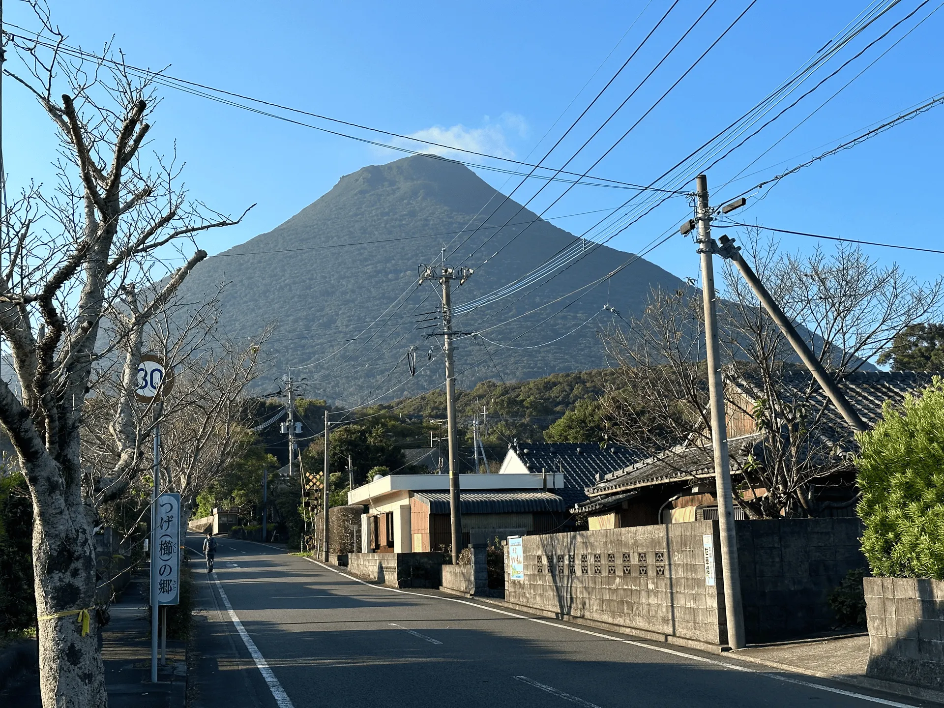
After about 25 minutes walking alongside the road, you’ll make it to the trailhead.
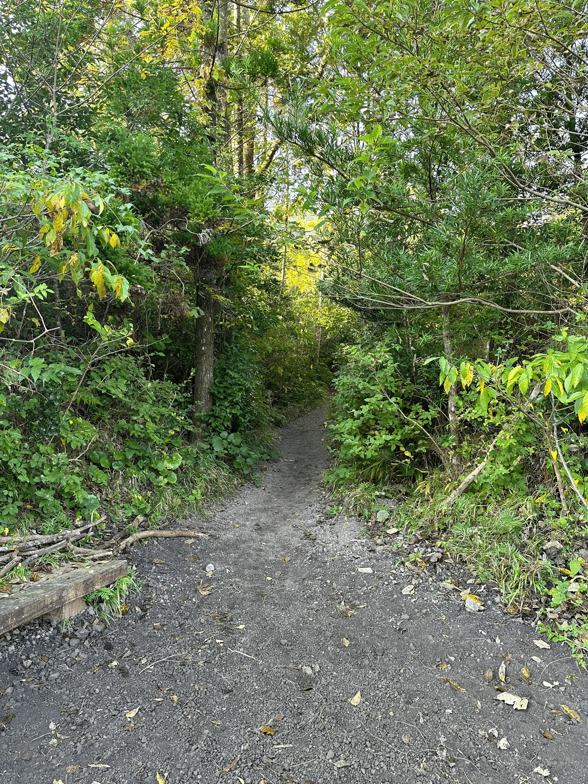
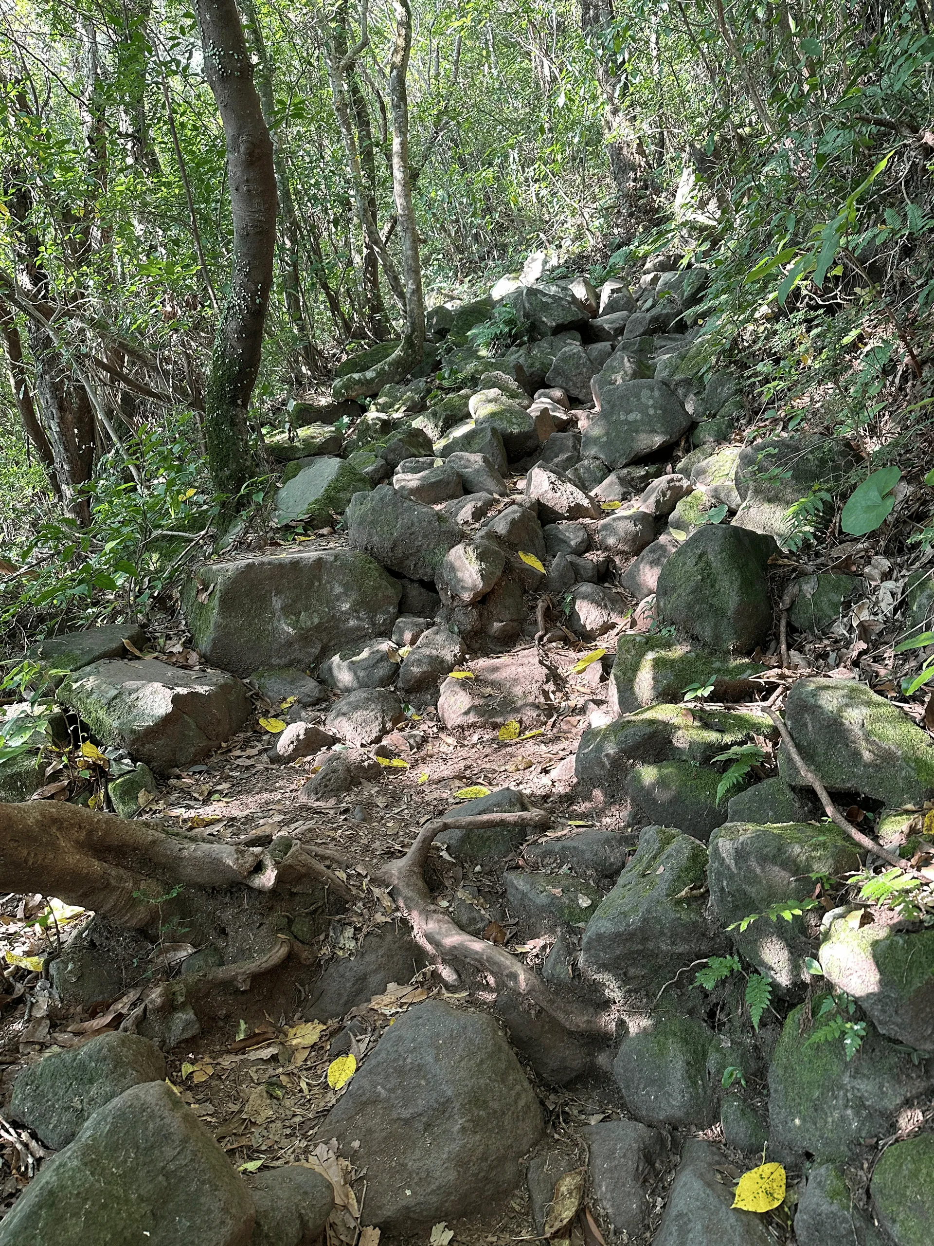
As you climb, the course curls around the mountain. Since Kaimondake is right on the southern tip of Kyushu, your view alternates between seeing the surrounding town, as well as the ocean.
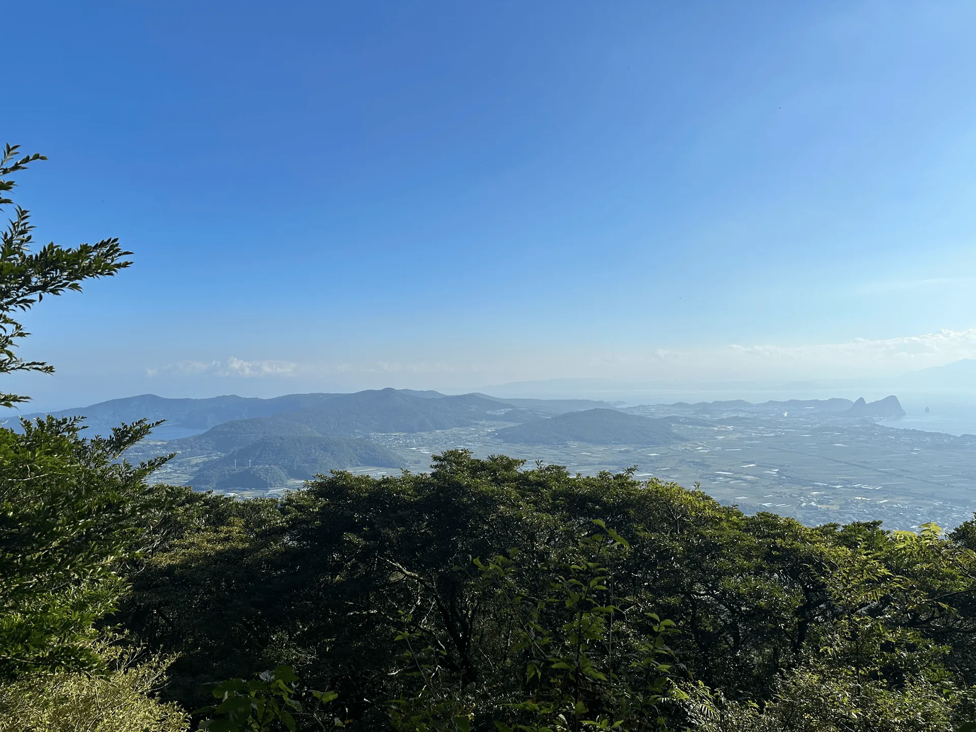
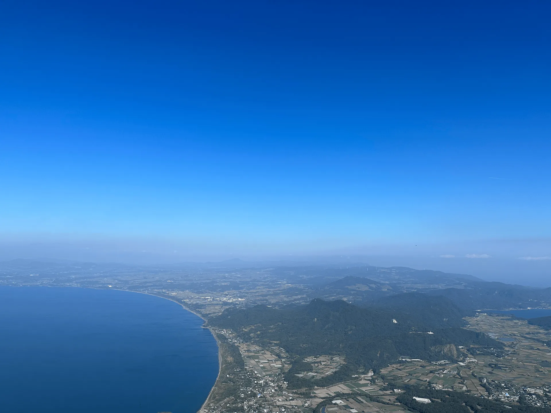
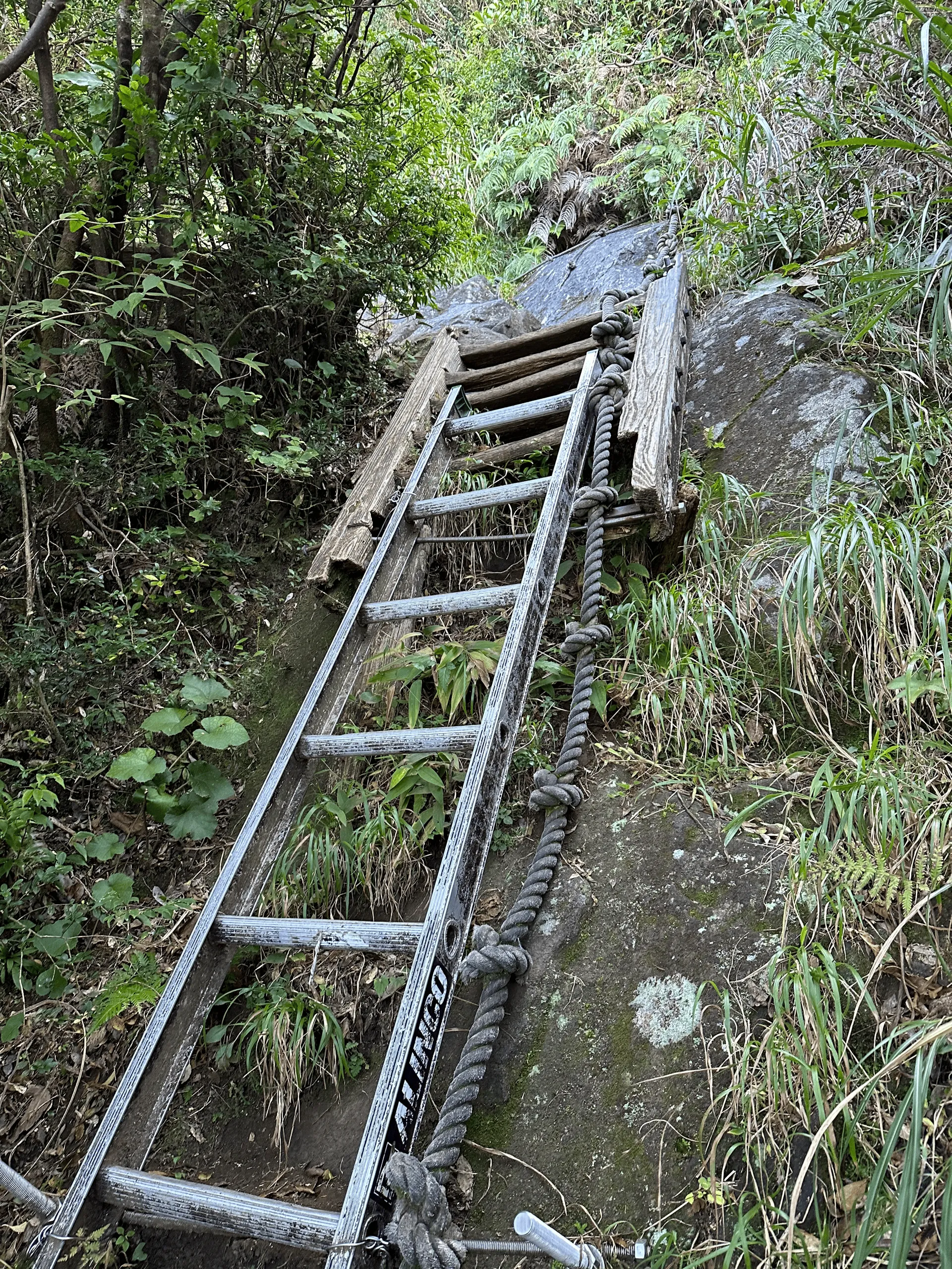
In a little under 2 hours, I reached the peak! It was a hot day for November, with a max temp of 27°C, but the breeze from the ocean helped to cool me down.

Then it was back down the same way I came. Being a country town, the train back to Kagoshima comes very infrequently, so I had the spare time to stop off in the town for lunch.
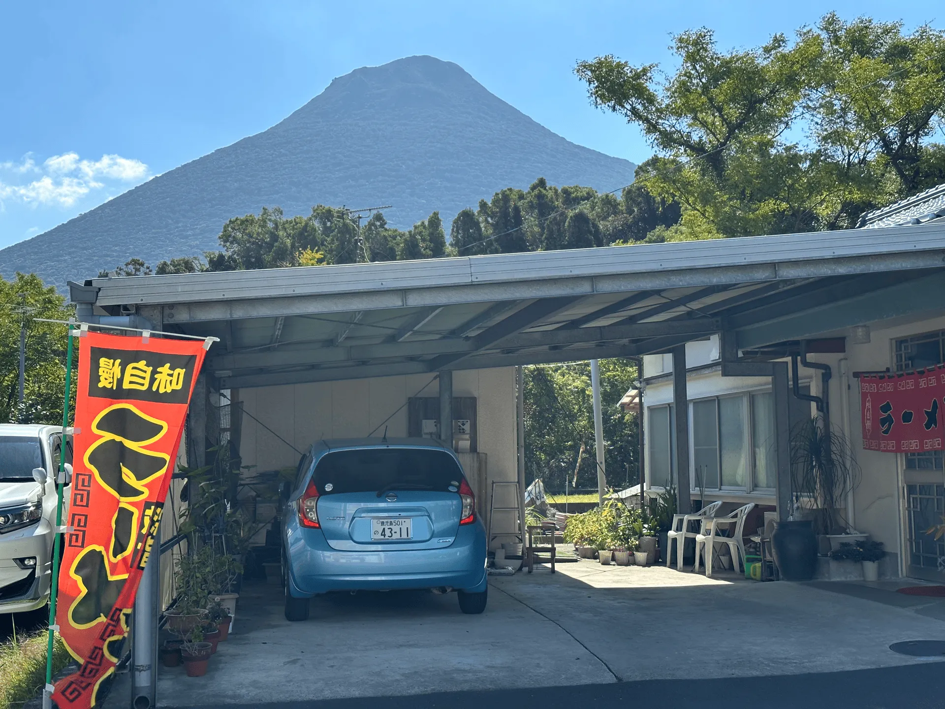
And this concluded my Kyushu trip! After climbing Mt Sobo, Mt Kuju and Mt Aso, Mt Kaimon was my fourth straight day in a row of hiking. I was blessed with good weather for all 4 days, and this turned out to be a really fun and rewarding solo trip. It’s hard to imagine that only a year before this, I would have felt very nervous hiking alone.
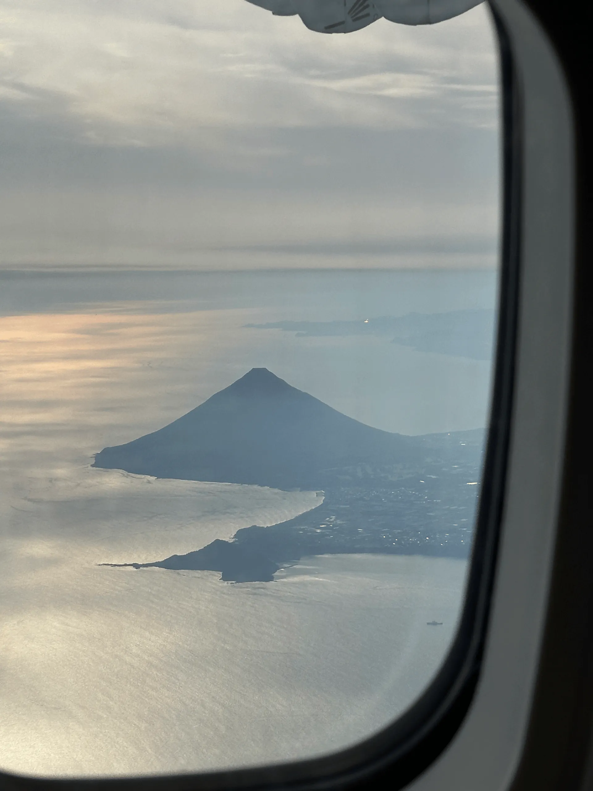
As a fun side note, on my more recent trip to Yakushima (an island off the coast of Kagoshima), I also got to see Kaimondake out the plane window! It was cute seeing it stick out so prominently.
Hiking course details
| Date climbed | Length | Course time |
|---|---|---|
| 2024-11-05 | 7.6km | 5h (the expected time for an average hiker without breaks) |
There is only one possible course for Kaimondake, a partial spiral that takes you up the mountain, and then down again by the same route you came.
There are toilets available at the train station, and possibly some slightly closer to the trailhead as well.
Public transportation access
I got the 06:20 train leaving from Kagoshima-Chuo station (鹿児島中央駅). After one transfer, you will arrive at Kaimon station (開聞駅) at 7:57.
From here, if you follow the course time, you should be done by about 13:00. Since the first available train back isn’t until 14:23, you’ll have plenty of time to take it slowly.
One thing to note is that with these rural stations, they don’t accept IC (Suica cards) so you will have to buy a paper ticket before you get on the train.
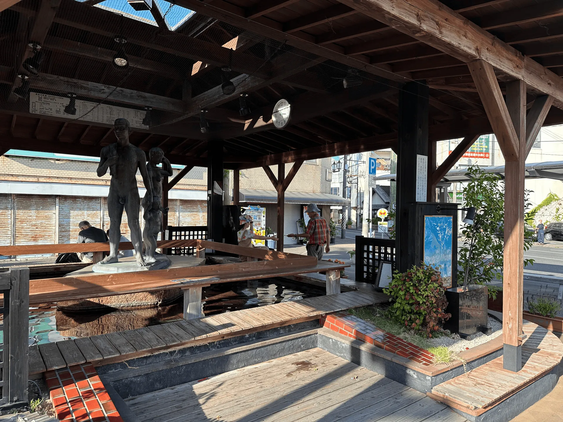
When getting back on the train to Kagoshima, there is a transfer you need to make at Ibuski station (指宿駅), with quite a long gap between the trains. I took this as an opportunity to step outside, grab an icecream from the local conbini and try the train station’s local foot bath. It feels good, but also made me very sweaty.
Leave a comment