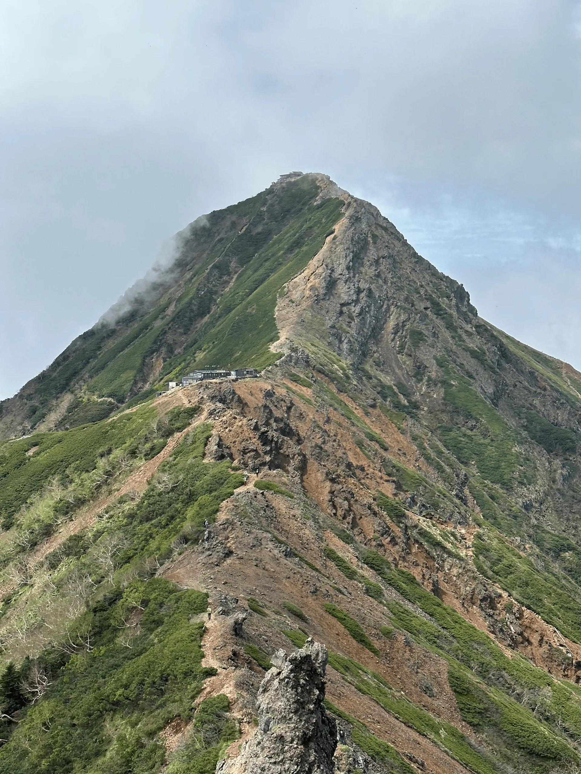
- Elevation 2899m
- When to climb Late May - mid-October
- Expect to hike 7.5 - 10 hours (at least 11km). Add an extra 90mins (5km) if you are coming by bus.
Mountain stats
An overnight bus will give you plenty of time to hike, otherwise take a local bus from Chino station and expect a night's stay in a tent or mountain hut.
3 hours drive from Tokyo. Car park at the trailhead fits 150 cars.
At an elevation of 2899m, Mt Aka (赤岳, aka-dake) is the highest peak in the Yatsugatake mountain range, and is located a 3 hour drive from Tokyo on the border of Nagano and Yamanashi. Yatsugatake means “mountain with eight peaks”, and on a clear day you’ll be able to spot all eight of them!
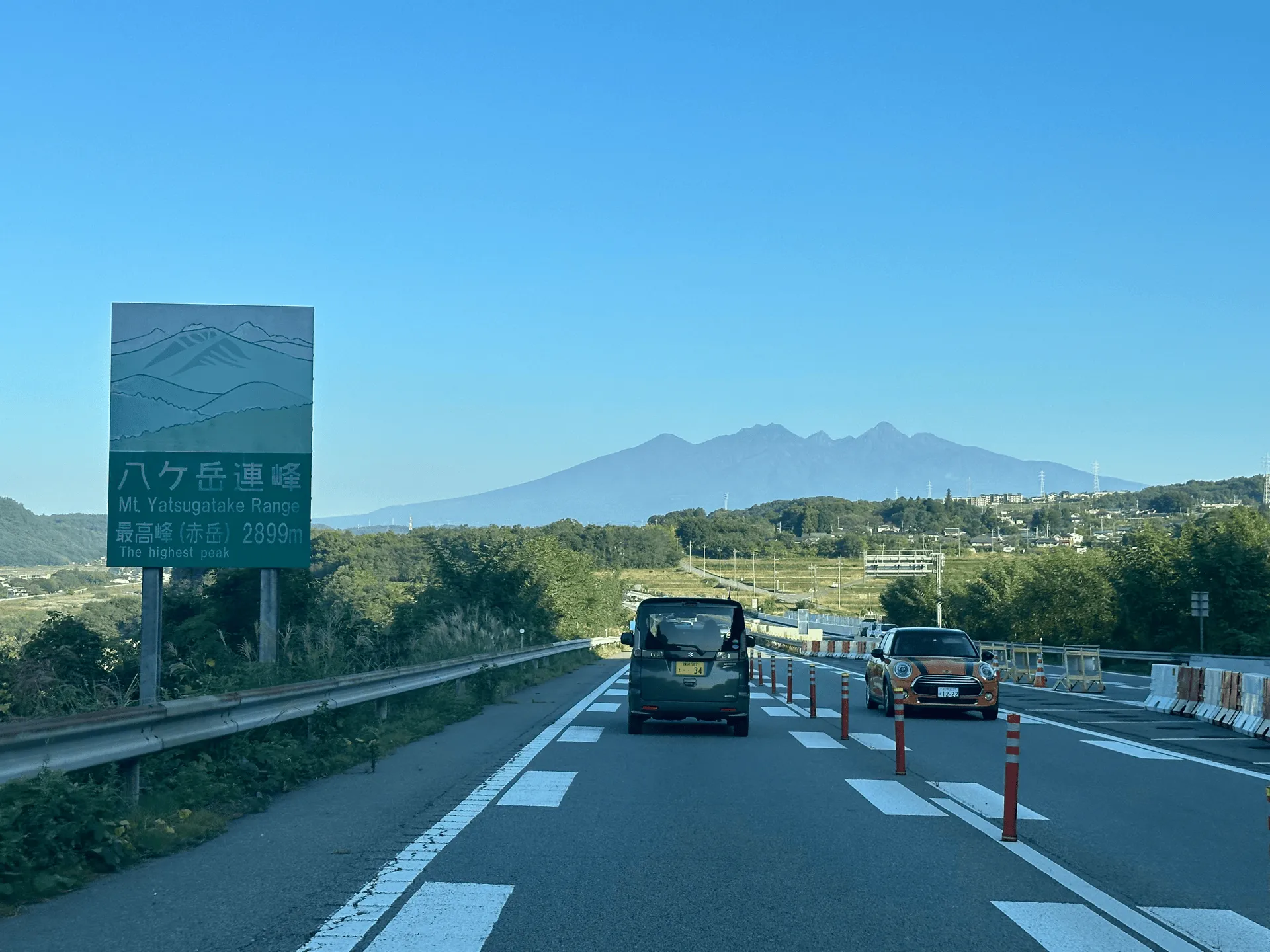
Mt Aka is also one of the Hundred Famous Mountains of Japan. Although it is a little bit outside the range of a day hike from Tokyo, if you are taking public transport it is possible to take an midnight bus to the trailhead, start your hike very early in the morning, and then be home that same day. Which is what two friends and I did in June of 2023.
This was my first ever overnight bus experience, so I wasn’t sure what to expect. Would I be able to sleep? The seats do recline a bit more than a regular bus, but it is still a bus - so results may vary.
Personally, I’m not very good at sleeping on public transport (I envy the Japanese, who seem to be able to fall asleep almost instantly). I probably got about an hour’s sleep. When the bus dropped us off at the trailhead at 5am, my eyes did feel quite tired but I chugged some coffee and groggily set off on the trail.
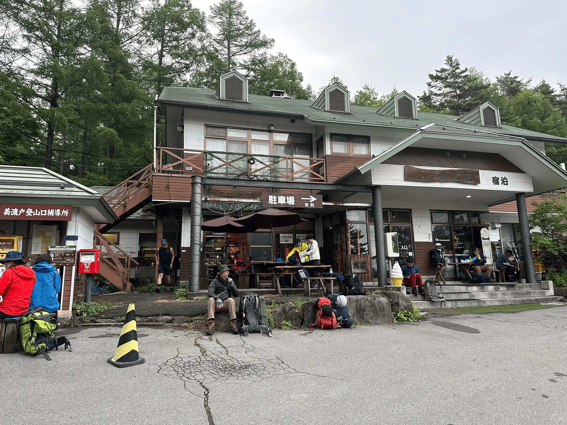
The first half an hour is along a dirt road, before you come to the Mt Aka Sansou (赤岳山荘) mountain hut. If you’re coming by car, there is a carpark here as well. It’s from here where the actual hike begins. The beginning of the trail did feel quite steep!
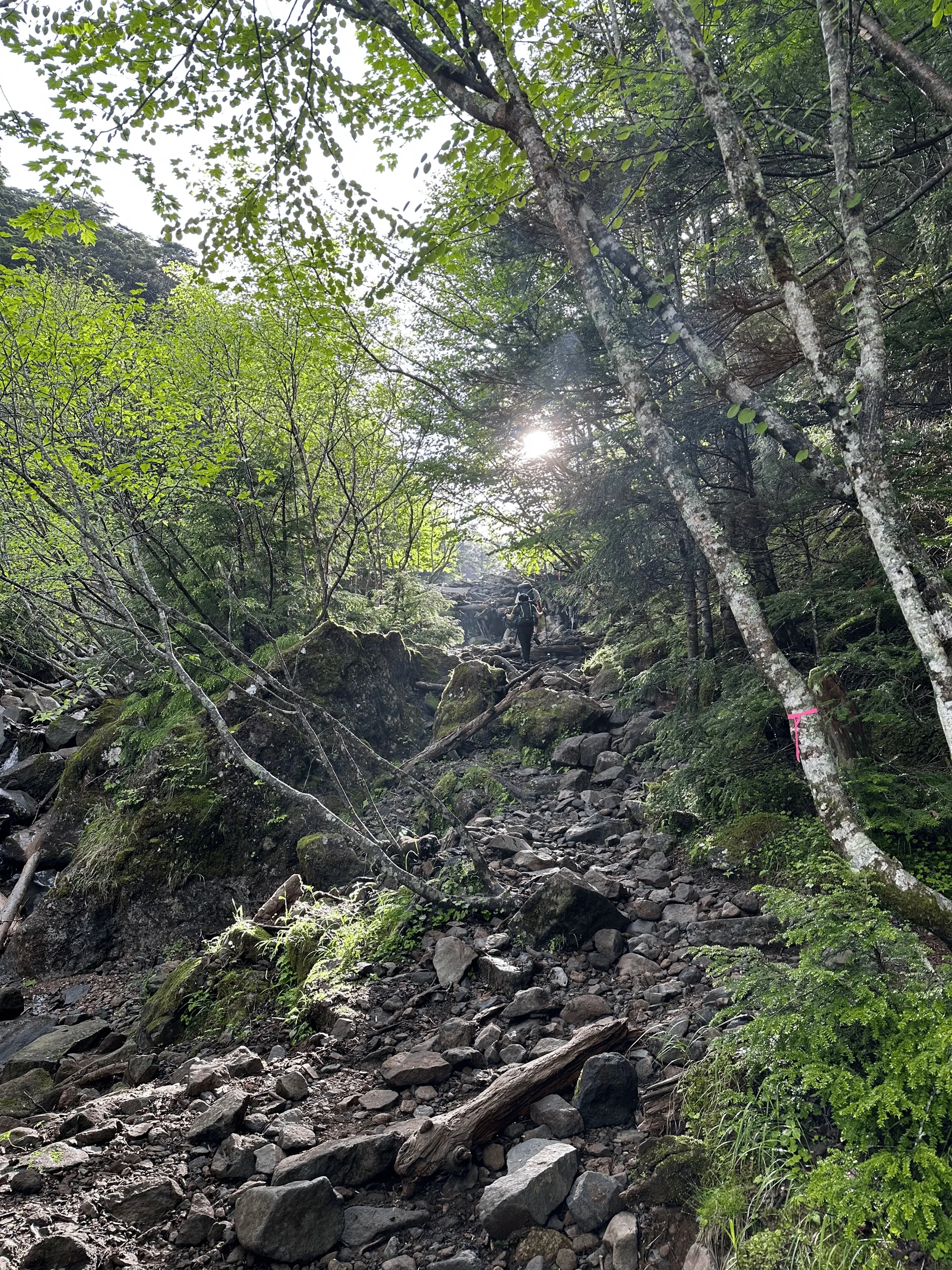
As you climb and climb, you’ll eventually come above the tree line and start to see the peak of Mt Aka in the distance.
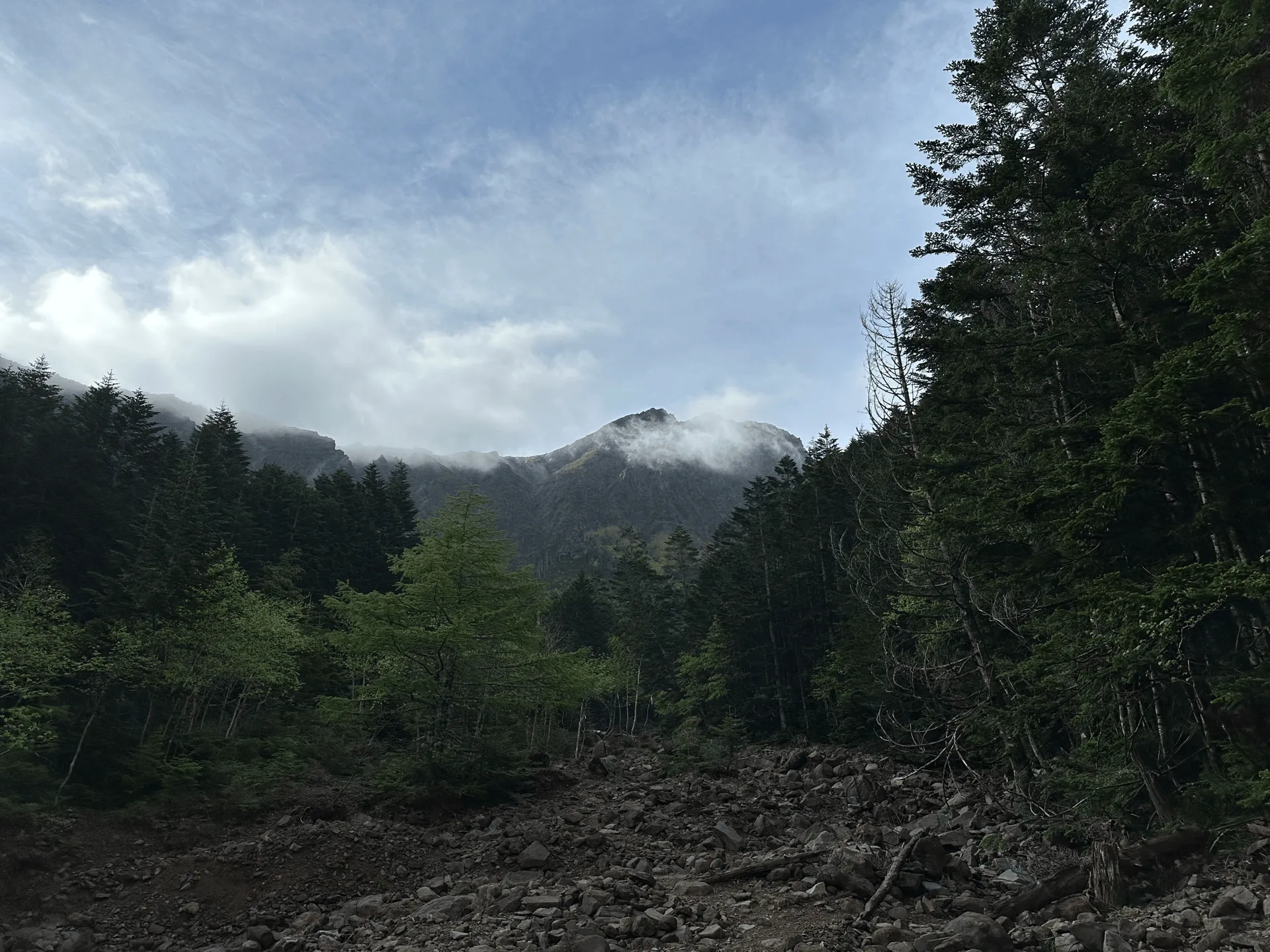
After about 2 hours of climbing, we reached the Gyojagoya (行者小屋 ) mountain hut. Maybe it was from the general tiredness, but I completely forgot to take any photos of all these huts we passed. But the coffee I had drunk at the start of the trail had started to kick in by this point, and getting to see the distant peak of Mt Aka grow closer and closer really perked my spirits up.
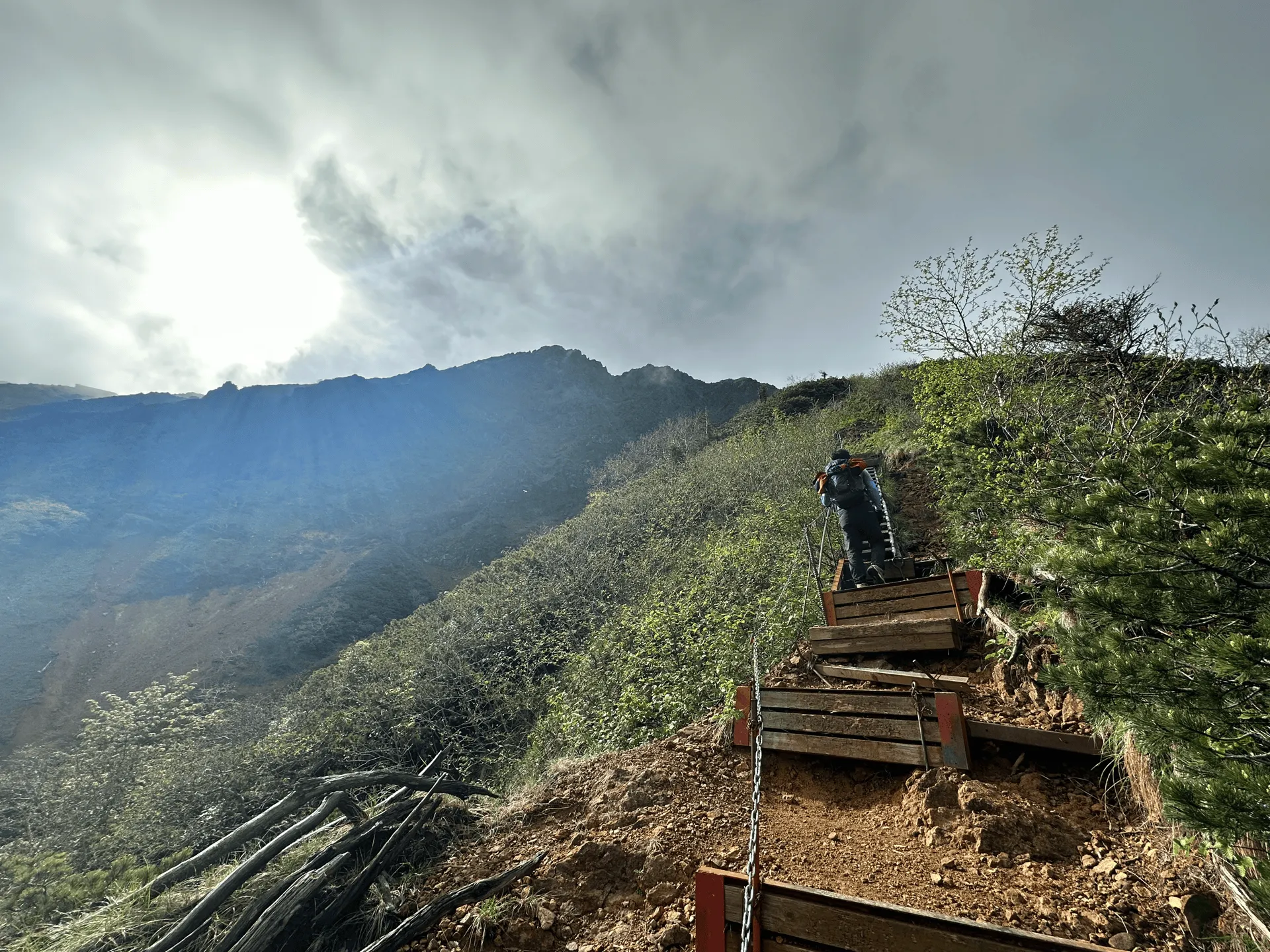
Past the Gyojagoya hut, you’ll be faced with a staircase that takes you up most of the way towards the summit of Mt Aka. You’re long past the treeline at this point, so if you take a look back, you can see down to the hut below.
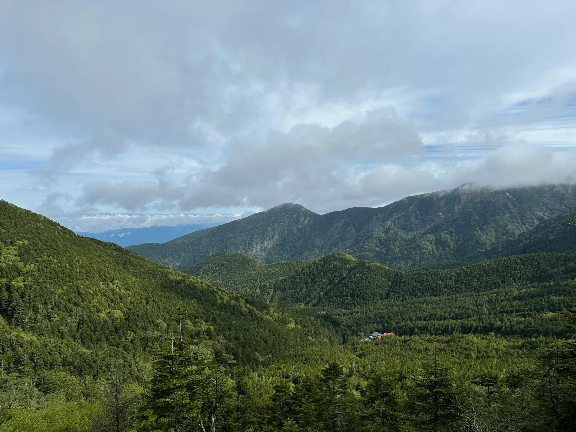
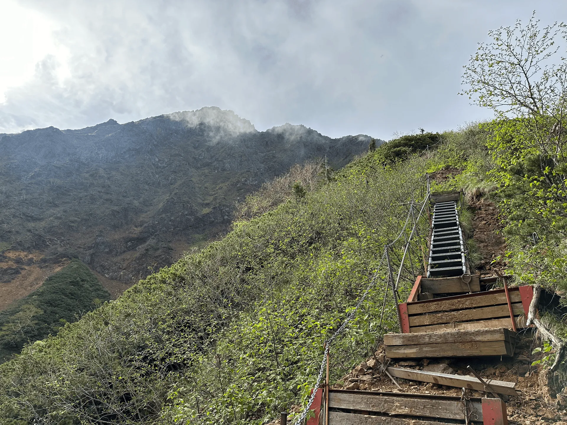
As you climb up towards Mt Aka, you’ll also pass by the neighbouring Mt Amida (阿弥陀岳, elevation 2805m). I like how the trail draws a neat line up to its peak.
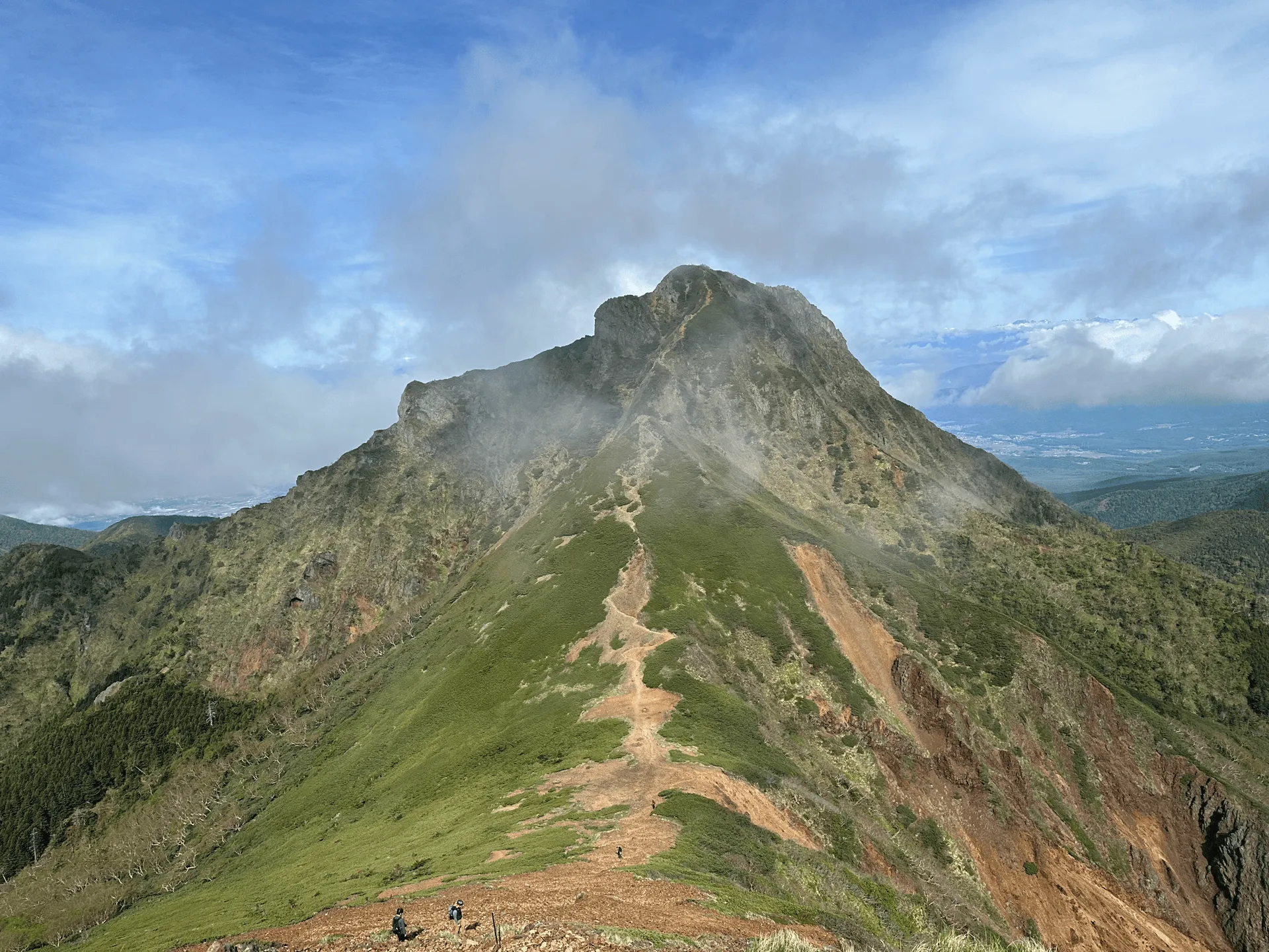
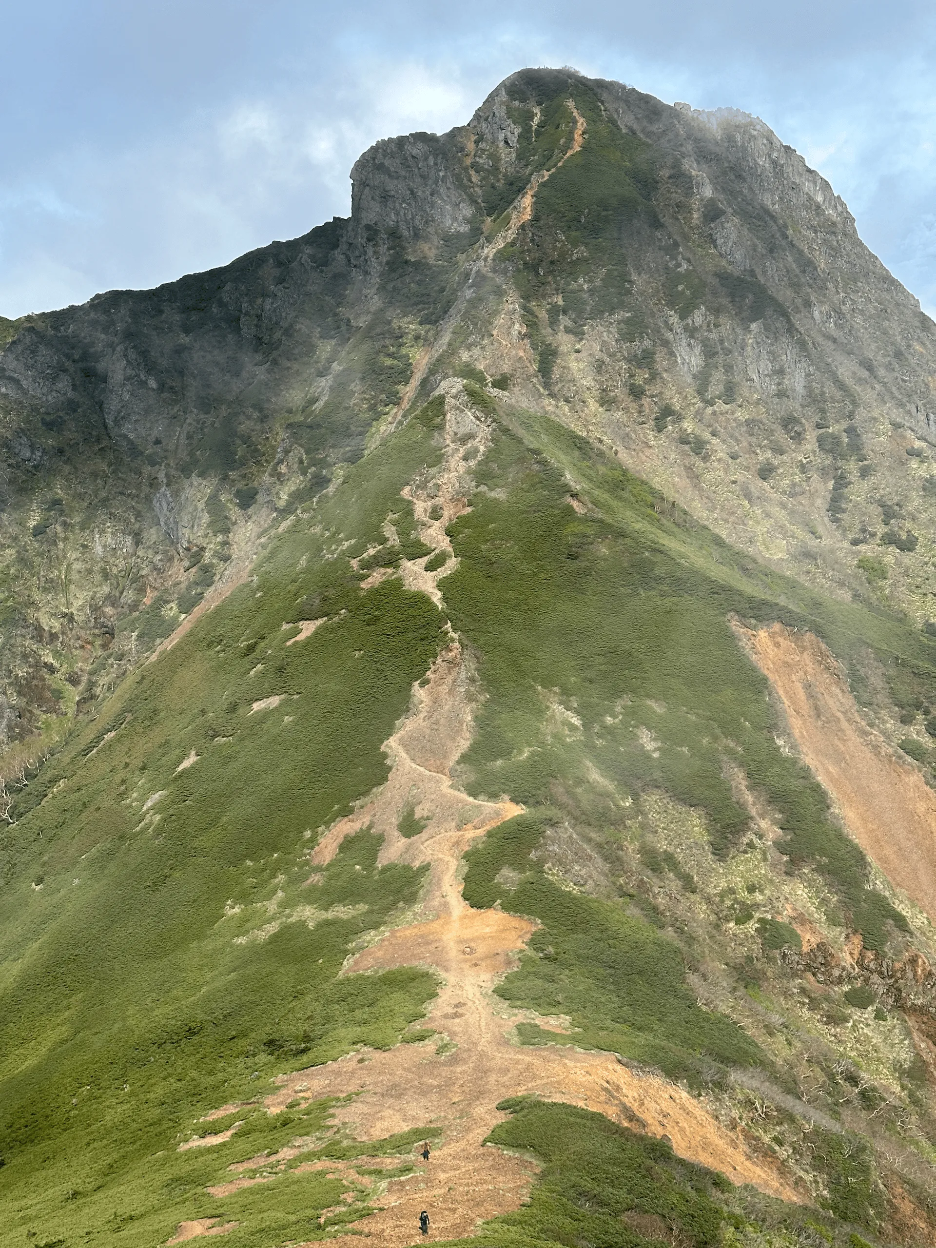
I’d love to climb it one day, but today’s main mission was Mt Aka, so on we went. Once the staircase ends, the final stretch of the climb is up some very steep, rocky terrain.
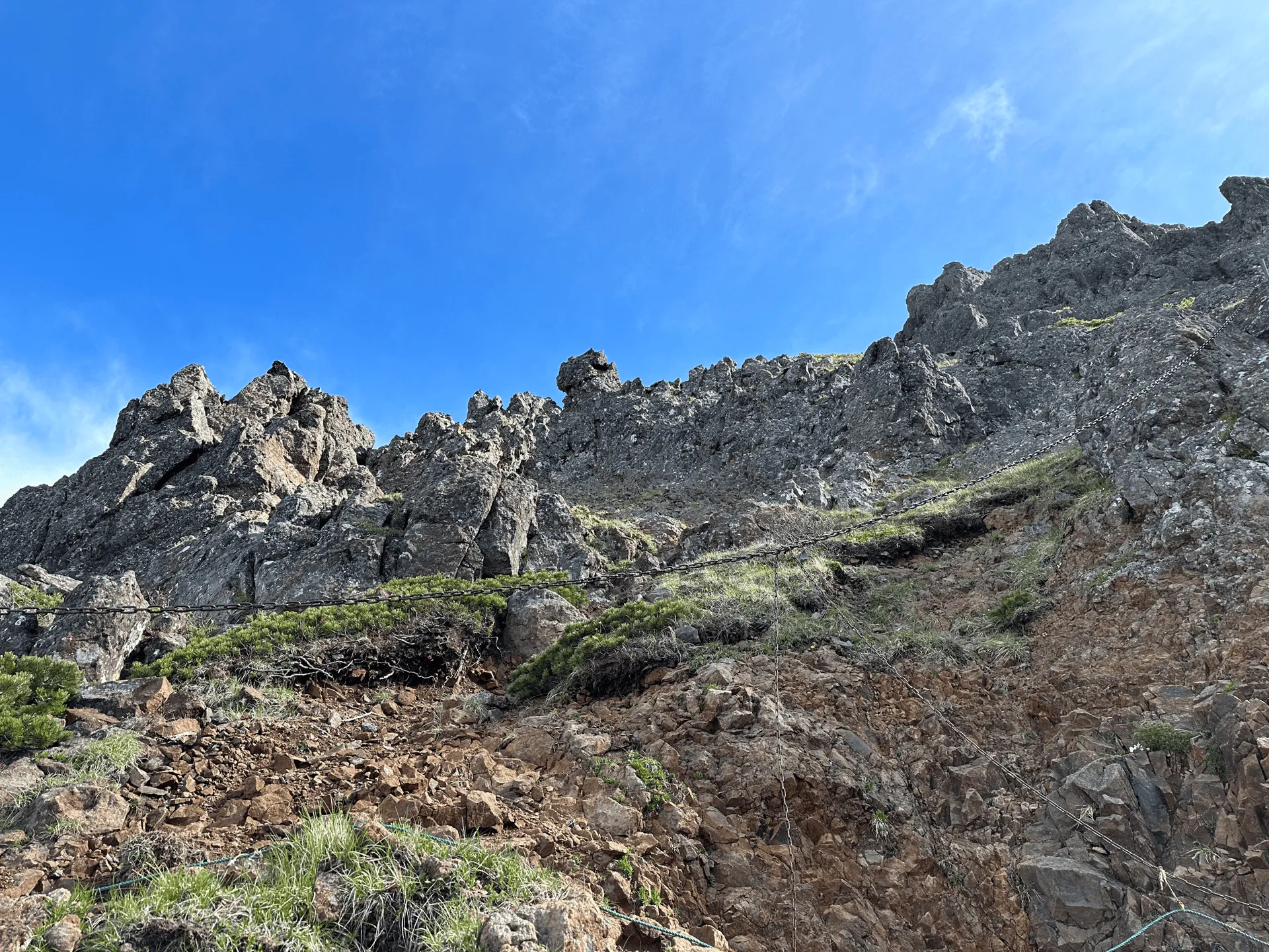
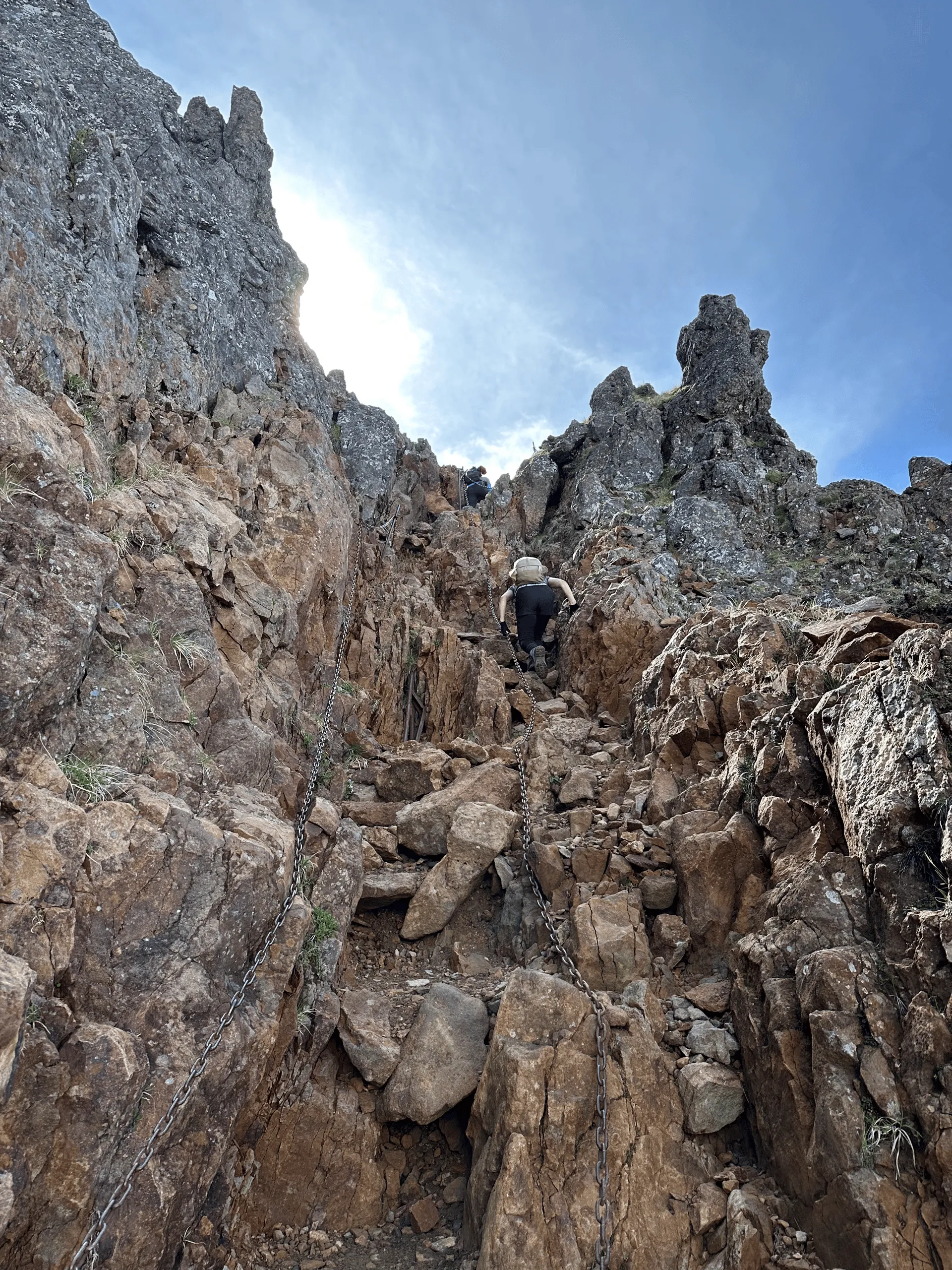
By 8:30am, we were at the peak of Mt Aka.
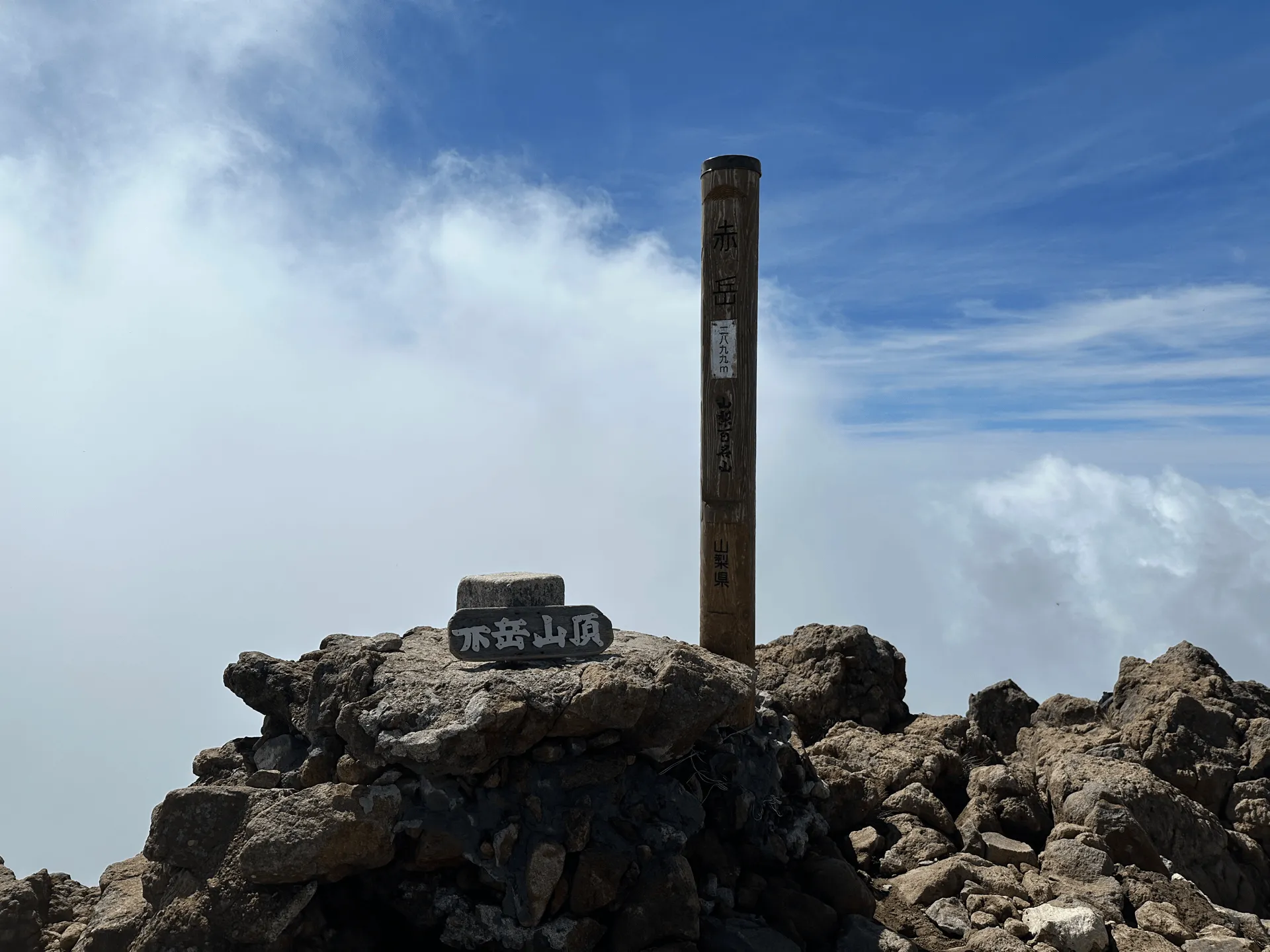
The brown peak marker pole also signifies Mt Aka as one of the 100 Famous Mountains of Yamanashi. To the left of the peak marker, you can see a small wooden sign you can pick up and hold for a photo. Funnily enough, the first kanji in the sign (赤) has lost its top half, so you’re left with what looks like half of an octopus.
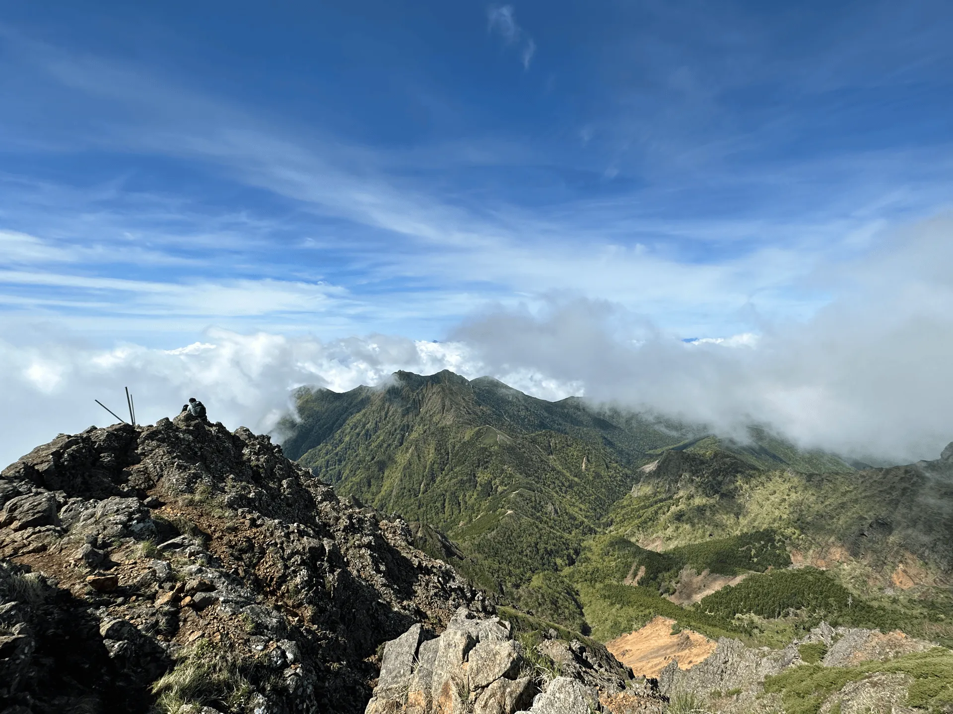
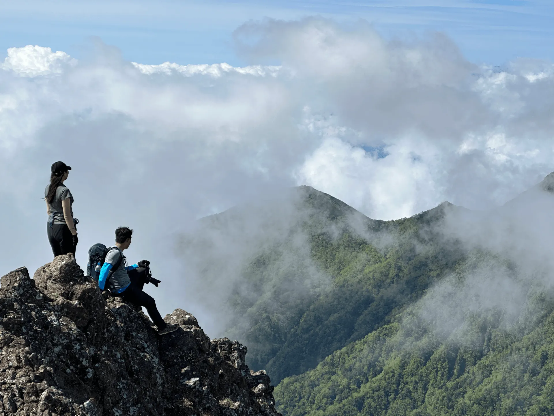
Once you pass the peak of Mt Aka, there is a very steep 30-minute descent to reach the Mt Aka Tenbousou mountain hut (赤岳天望荘).
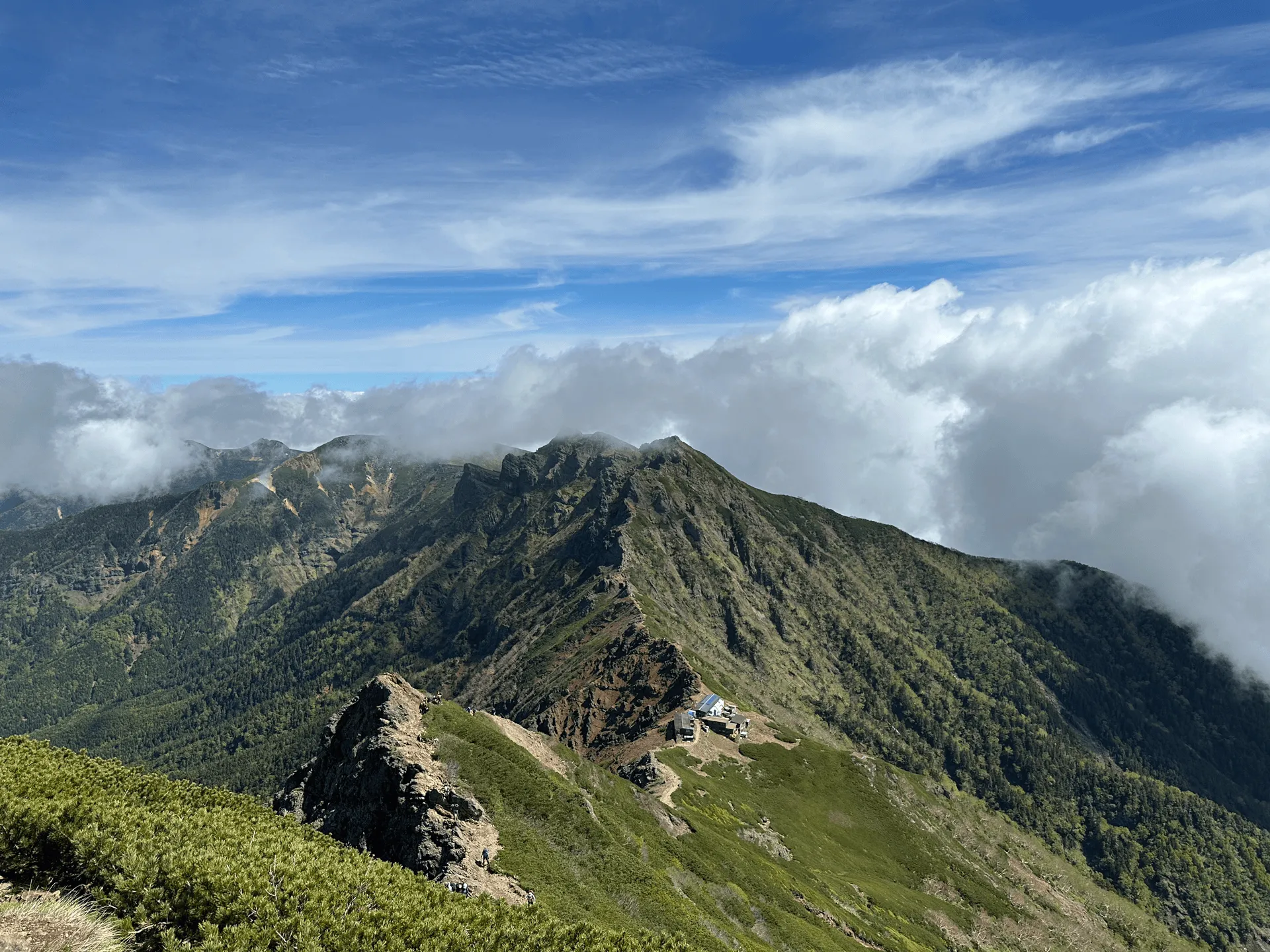
This probably the hardest part of the course, as you’re walking down a very steep piece of rock. But there is a chain to hold onto in bits, so as long as you take it carefully, you should be fine.
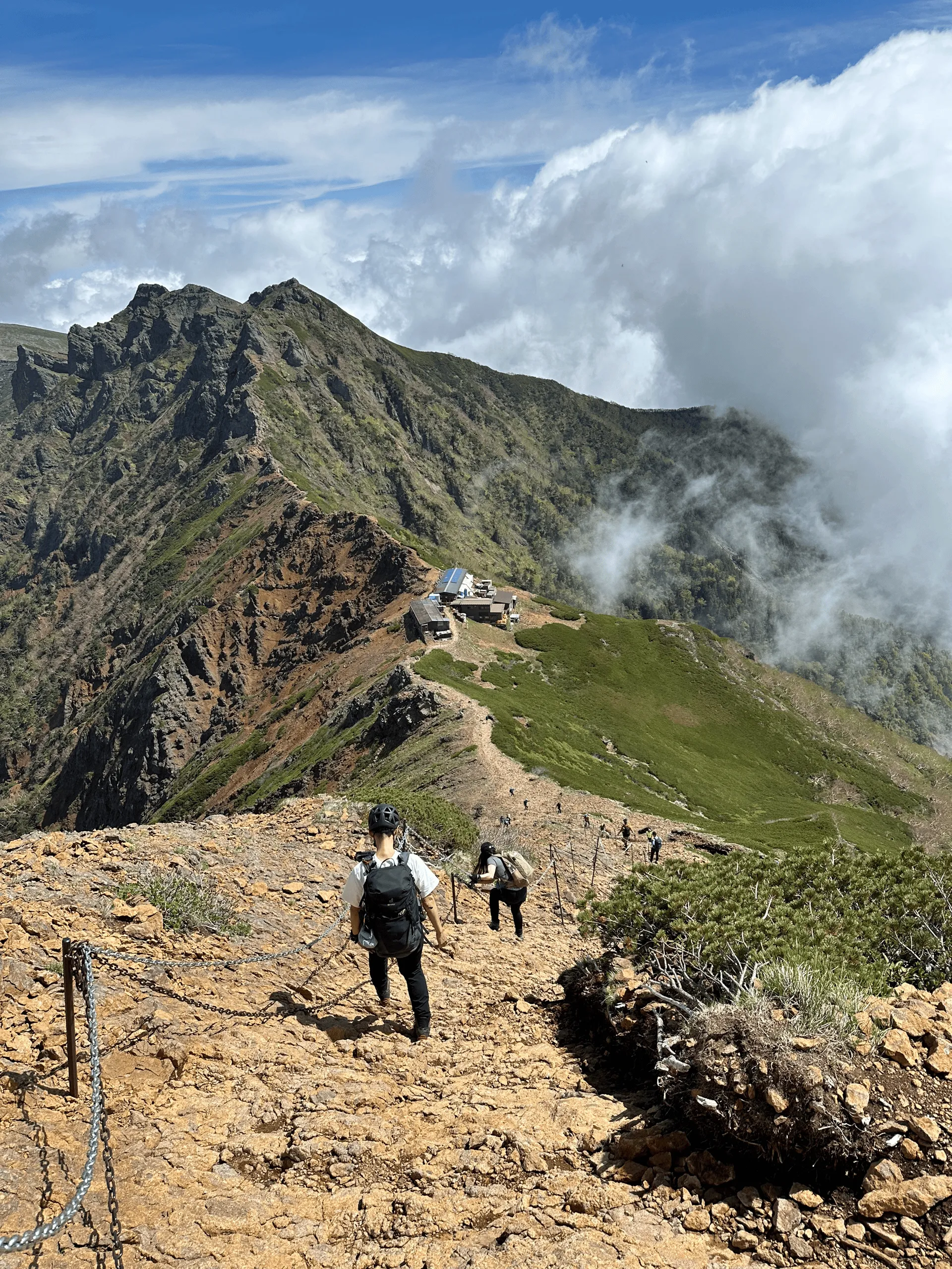
Actually, there were a fair few people wearing helmets. Japan has quite an elderly hiking population so from that perspective it makes sense - as you age your chance of slipping increases so it makes sense to want to protect your head on the off-chance you do fall, but for a younger person I still think you are fine without it (but of course, whatever makes you feel most comfortable).
For a regular day hike, once you reach the mountain hut there’s the option to take the fork in the trail and descend back to the trailhead. We were keen to do a longer hike though, so we kept going along the trail.
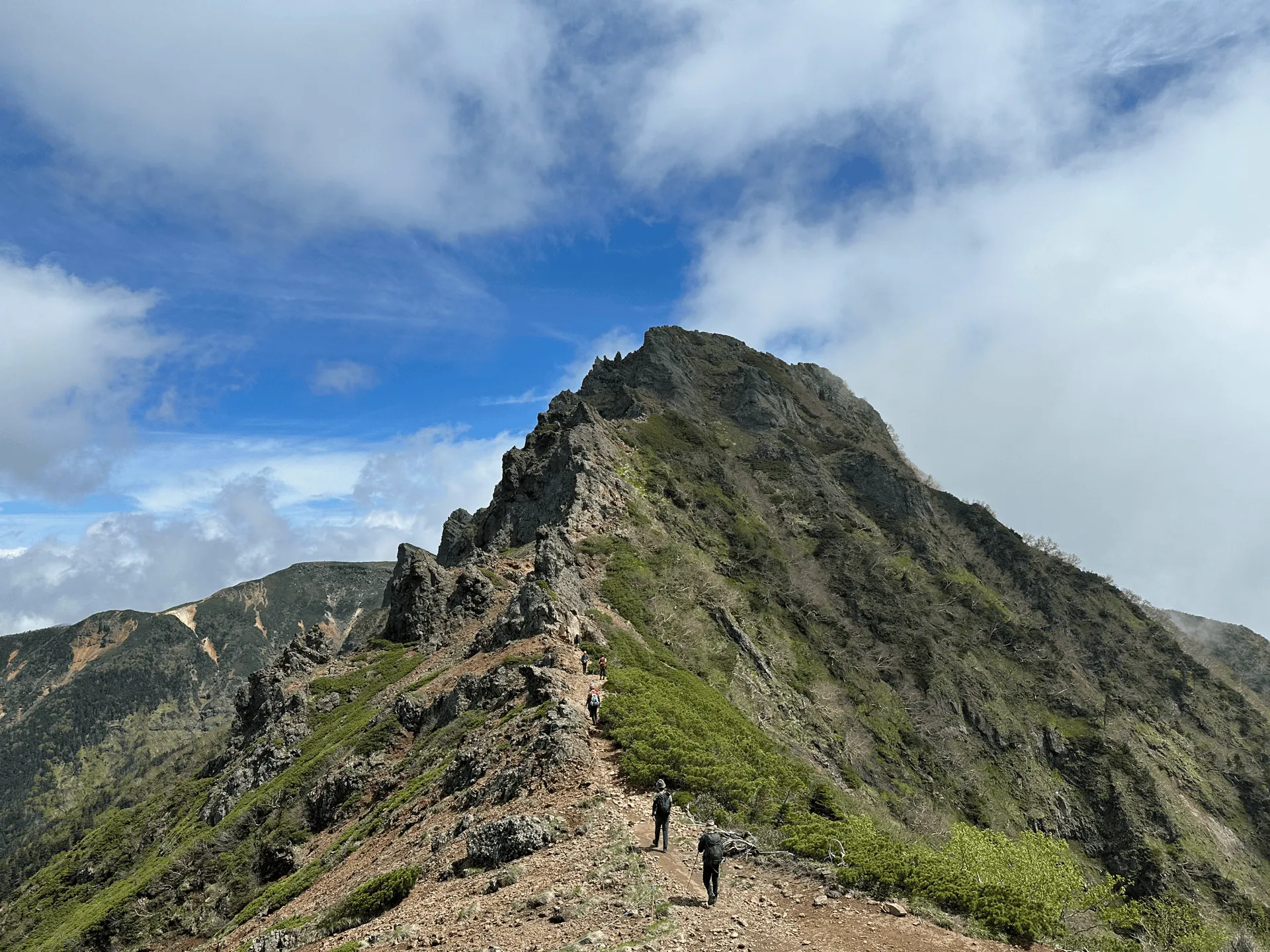
Although you have already passed the highest elevation point with Mt Aka, there’s a couple more climbs and descents as you pass by some of the more minor peaks.
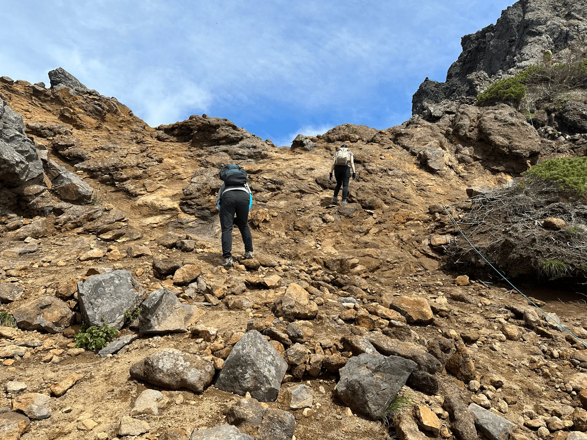
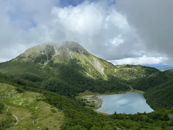
As you gain in elevation again, you are given a great opportunity to get a view of Mt Aka from another angle. Just gorgeous.
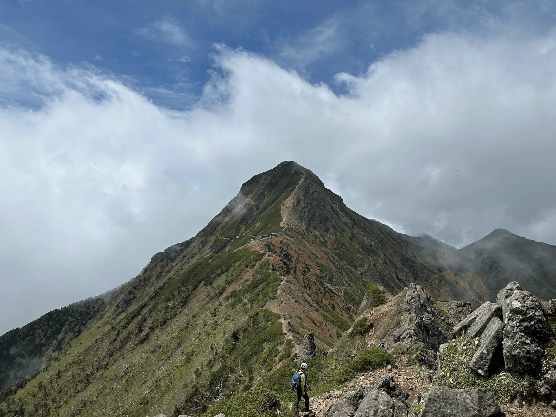

There are some narrow parts on the trail, and the view started to get a bit foggy, but you can see the rest of the trail stretch out along the ridgeline to the left as well.
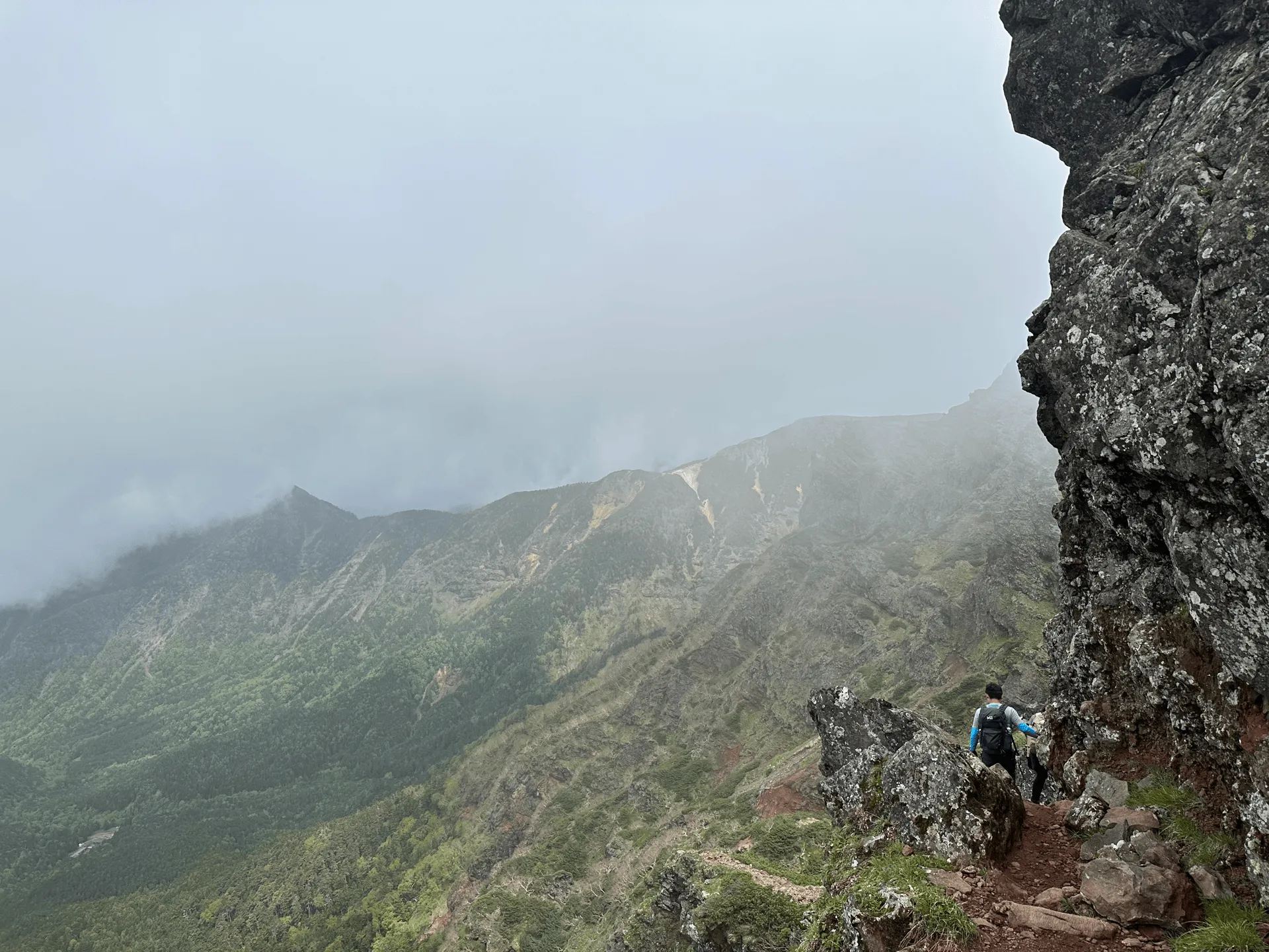
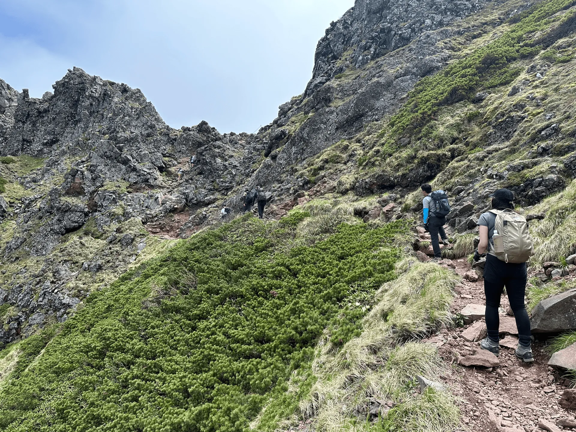
Eventually some people sitting on a distant peak come into view. The peak in the foreground is so minor that I couldn’t actually find an English name for this it, but its name 石尊峰 is read as “sekisonhou” (せきそんほう).

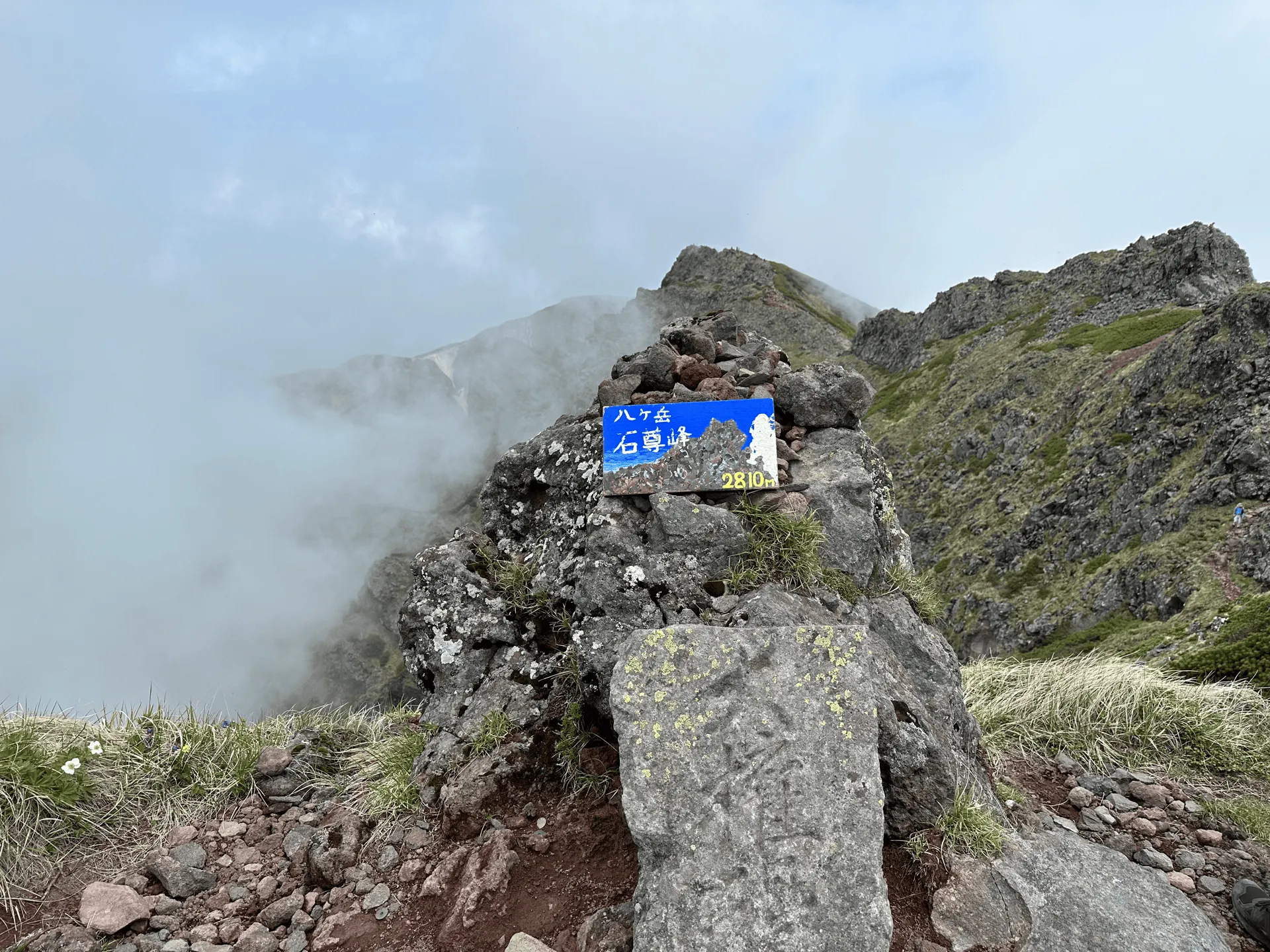
Quite close to Sekisonho is the peak of Mt Yoko (横岳, yoko-dake), which as the second highest peak in Yatsugatake is counted as one of its eight peaks.
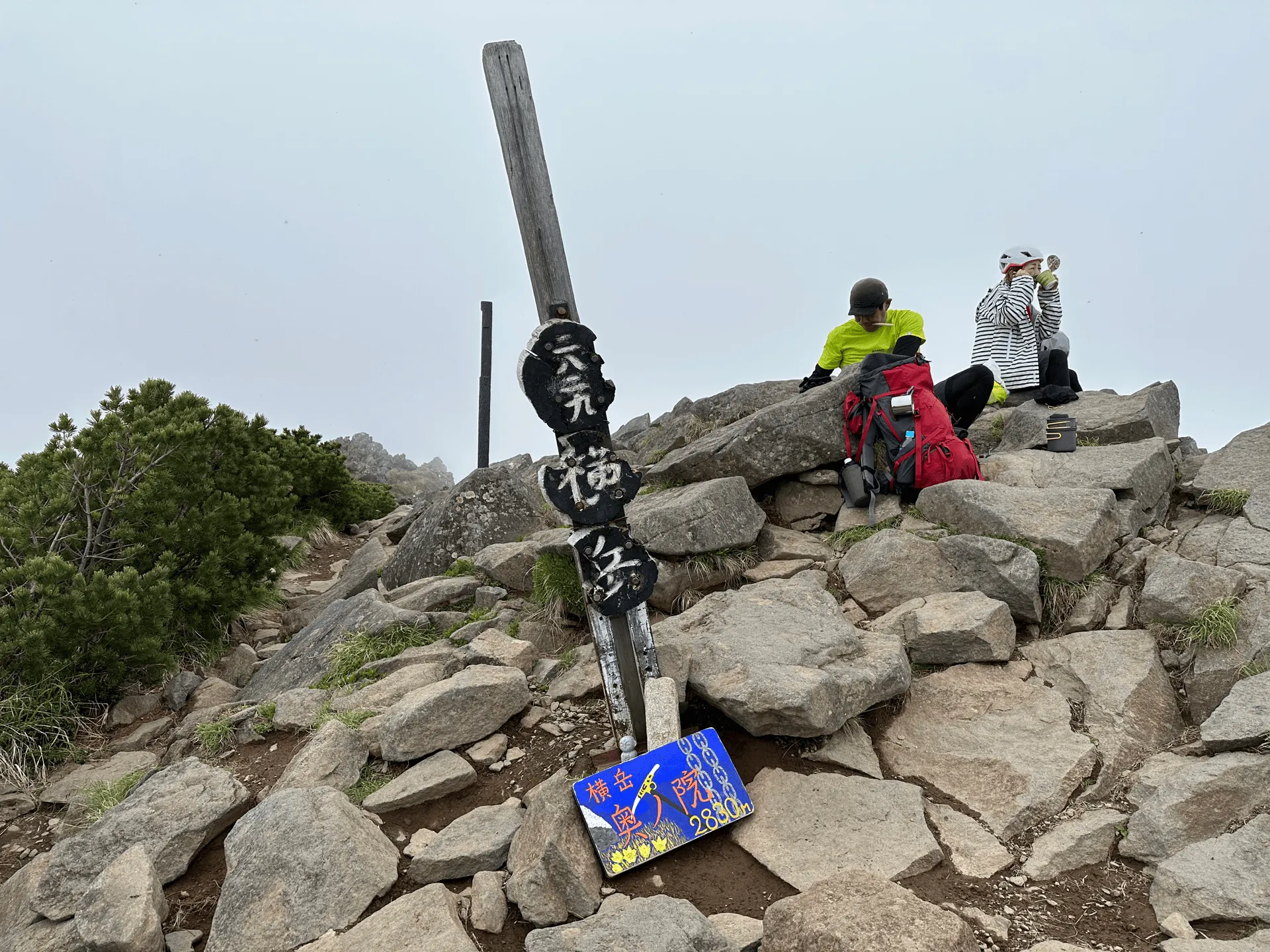
We were still at quite a high elevation, and unfortunately this started to take its toll on one of my friends, who experienced some altitude sickness. She was a trooper though and wanted to continue on, but we did slow our pace a bit and took more breaks.
Luckily from here, it starts to become mostly downhill, and the trail got easier as well. With the drop in altitude, my friend started to recover as well, and we finally started to approach Mt Io (硫黄岳, iyo-dake).
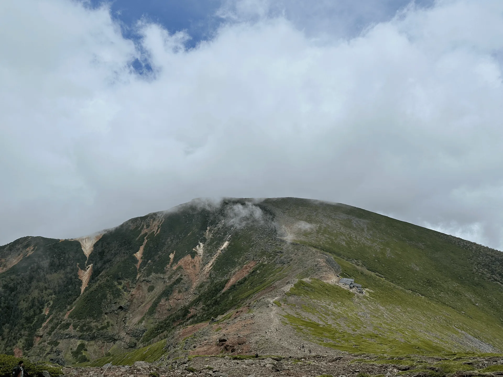
Before we reach Mt Io, we also passed by the Mt Io mountain hut (硫黄岳山荘) which is visible as a little grey-roofed building below the summit.
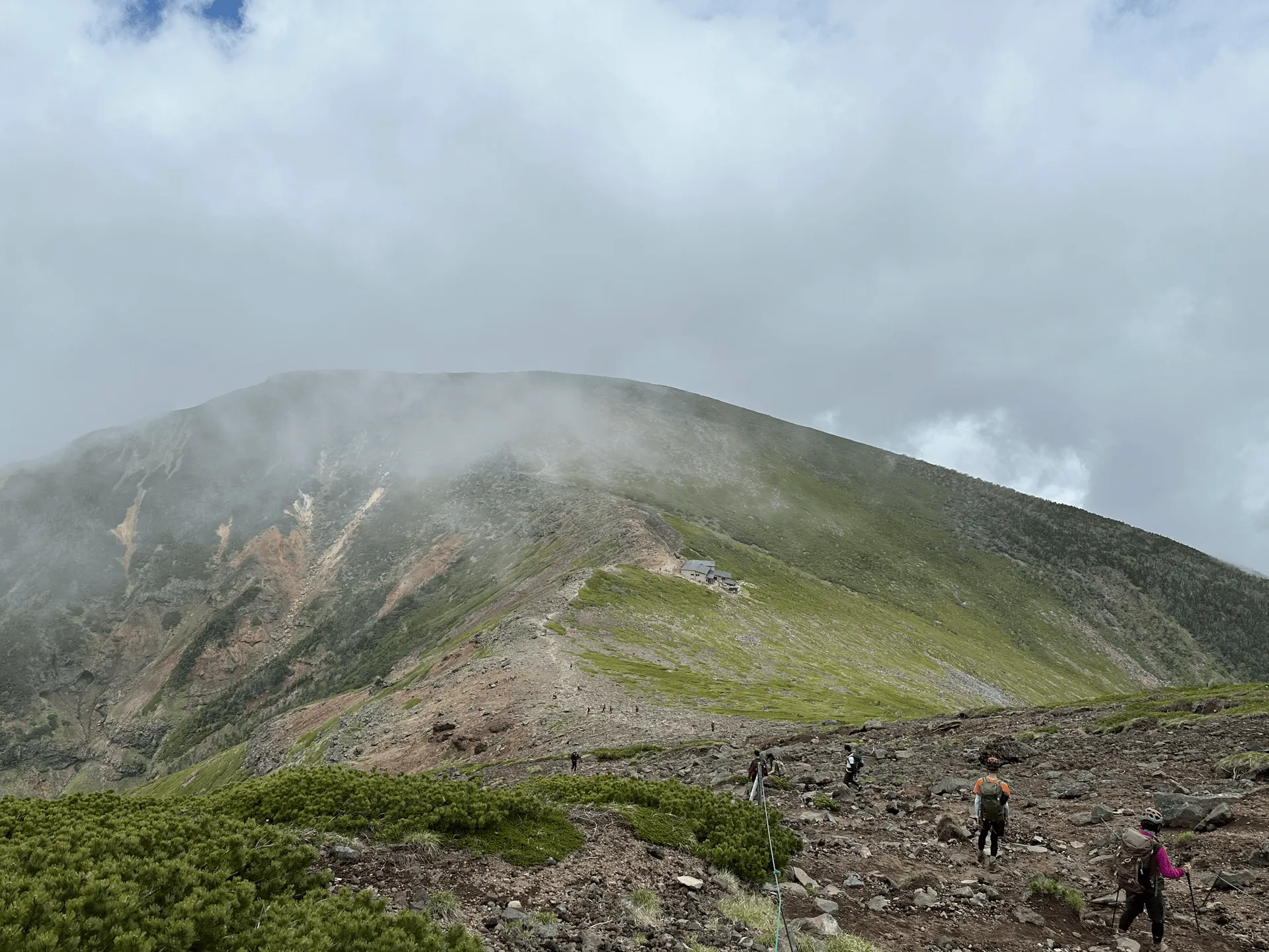
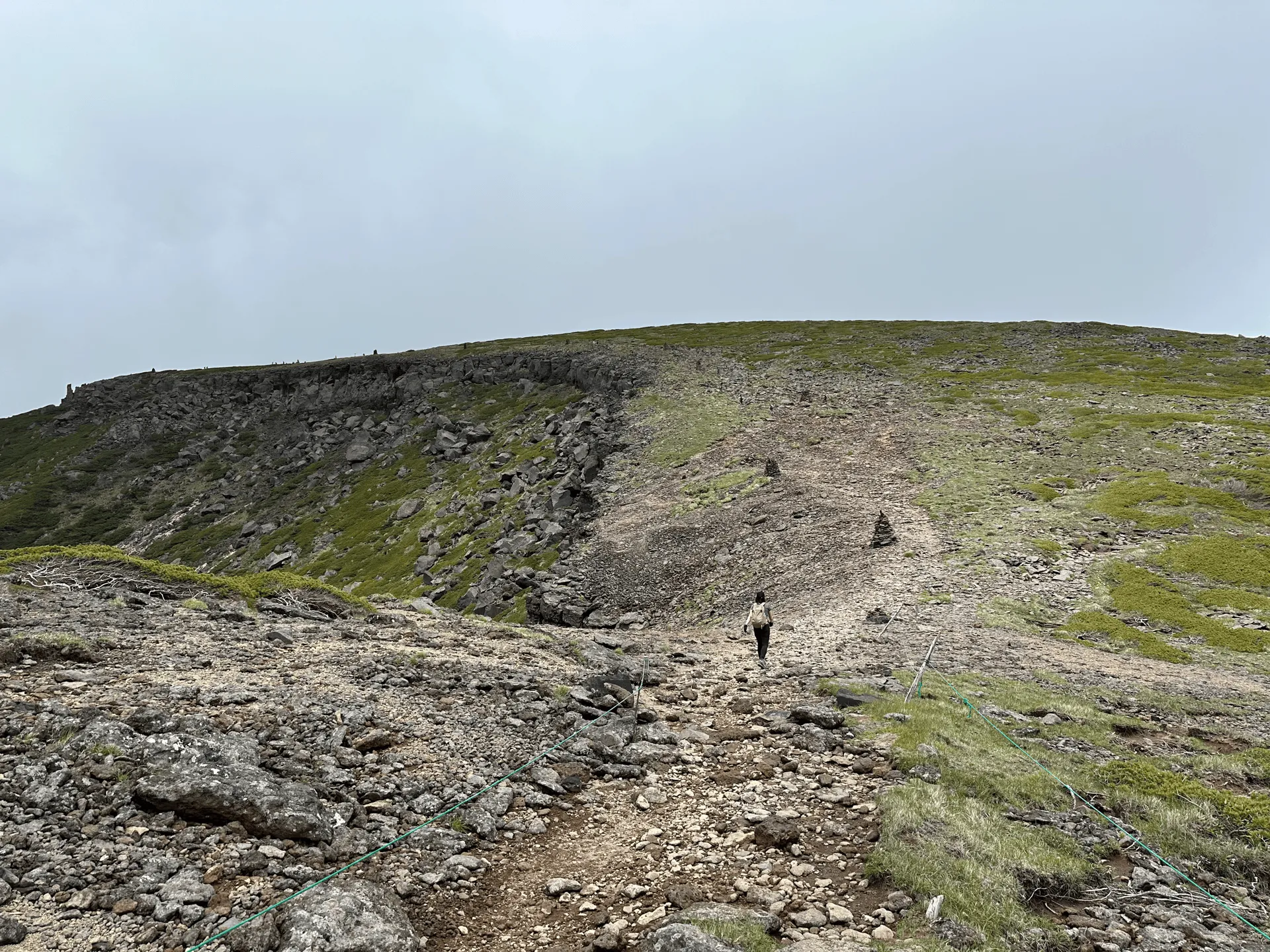
And just before 12pm, we reached the summit of Mt Io. It’s the fourth-highest mountain in the Yatsugatake mountain range - the third position goes to Mt Amida, which we passed by but did not climb on our way up to Mt Aka. Mt Io is quite a reasonable day hike in itself, and can be climbed by itself in around 6 hours (or 10km).
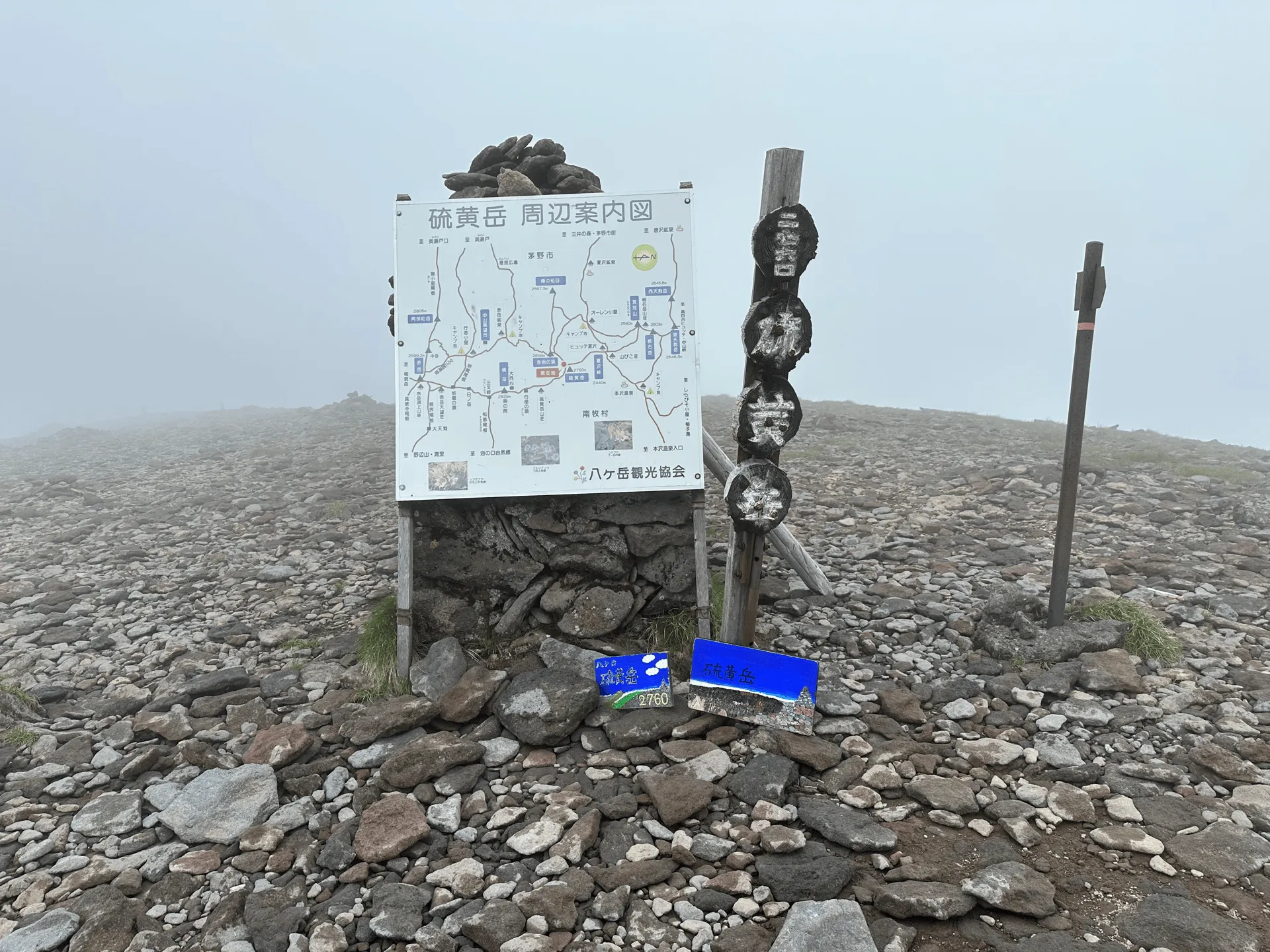
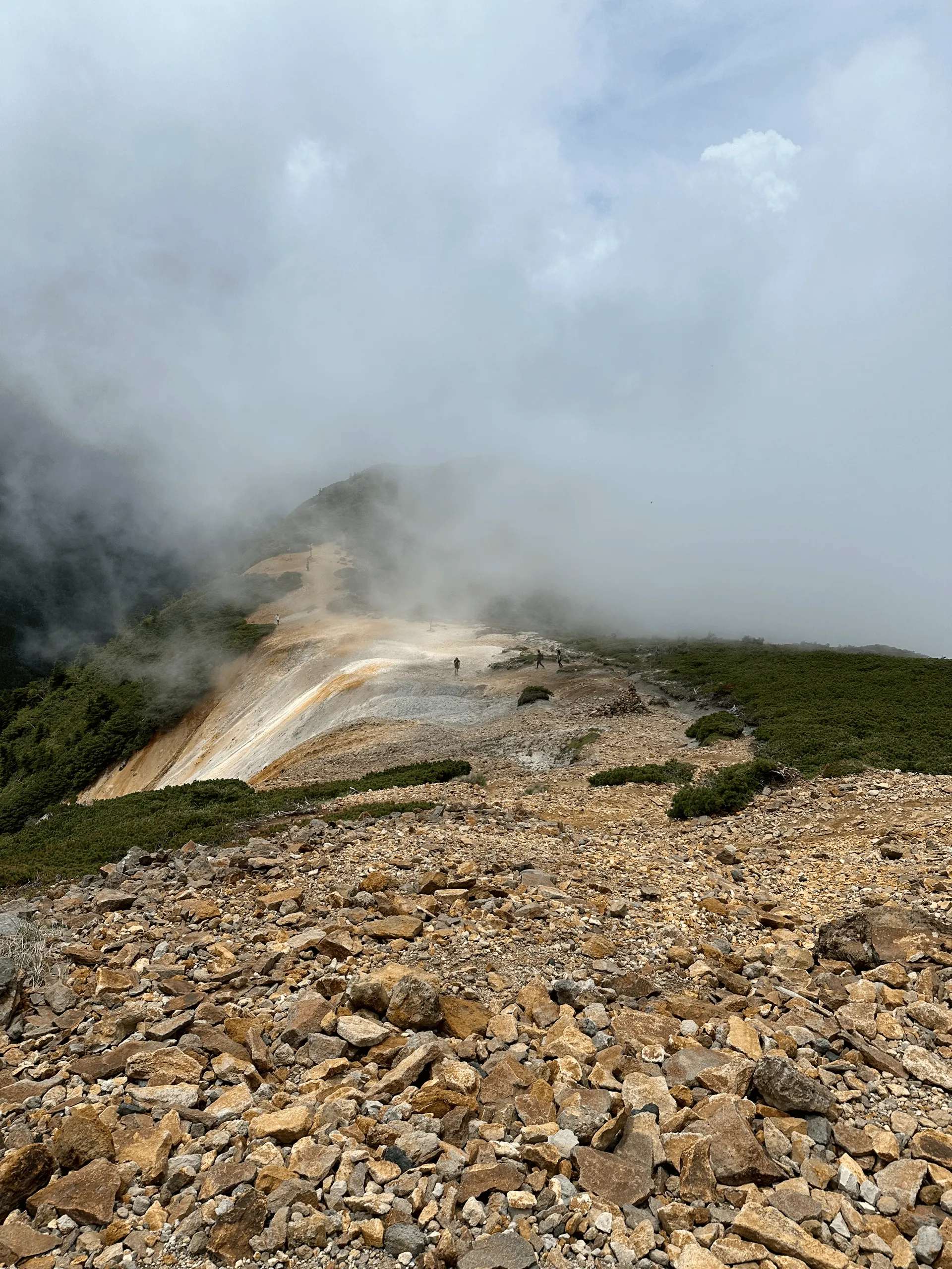
Io or “硫黄” means sulphur (which is yellow), so I wouldn’t be surprised if that’s how it got its name. From Googling, apparently sulphur was used to be mined at the foot of this mountain, so that might also be its origin.
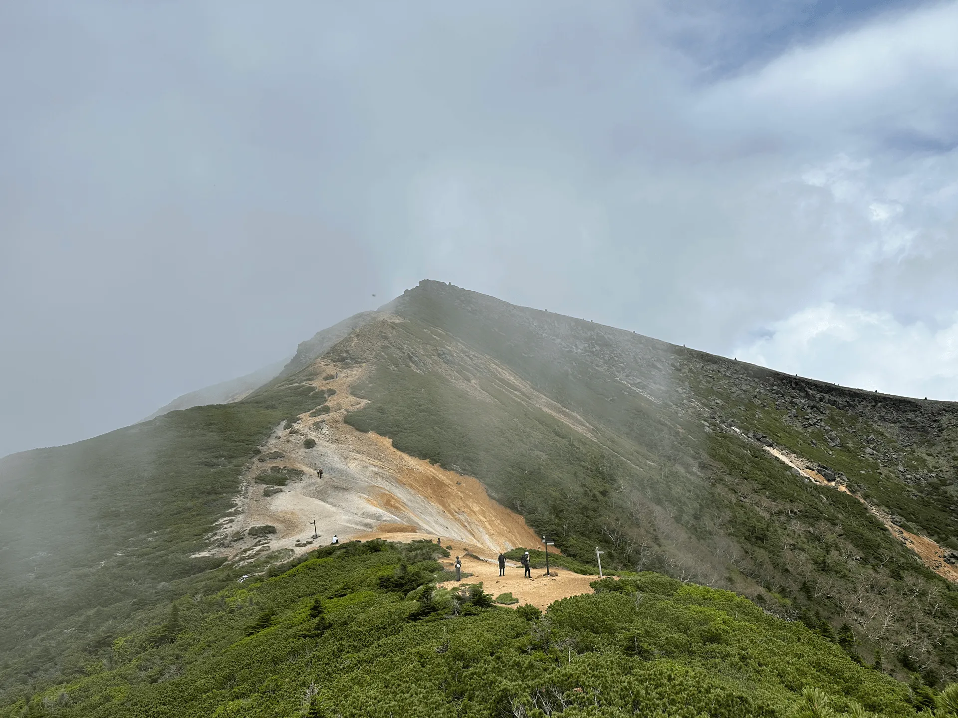
It was quite foggy and hard to get a proper glimpse of Mt Io, but at times it would clear up, so I luckily managed to snap a clearer picture as well.
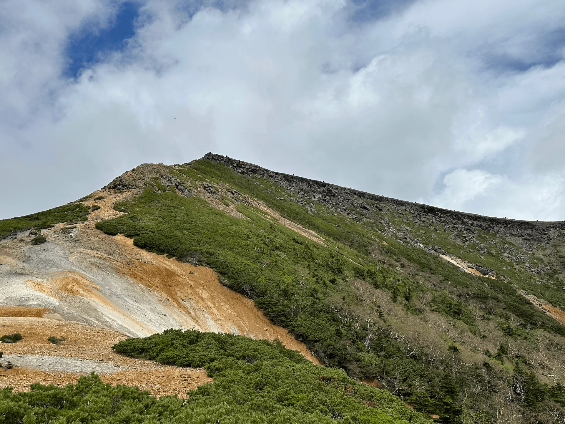
From here it was one long descent. At this point we had hiked 12km, and had 8km to go to get back to the bus stop. Since it was all downhill, it took about 2.5 hours. Although the trail was quite nice, my sleep deprivation really caught up to me at this point and so the descent did feel like it went on forever.
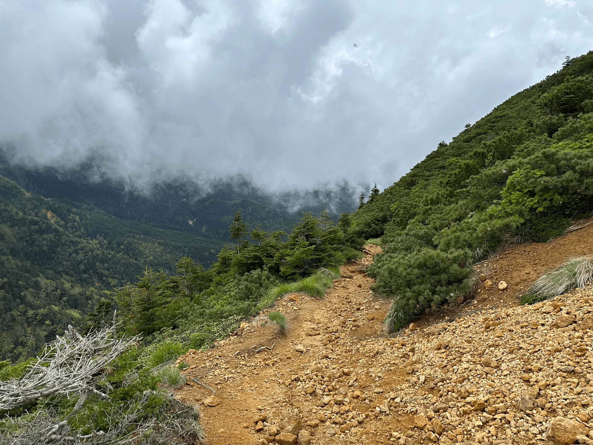
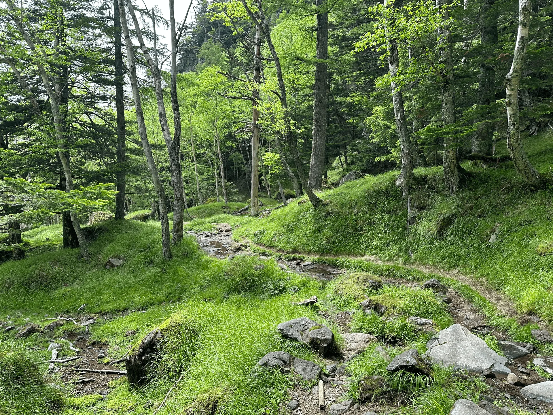
We finally reached the bus stop around 14:30. In total we hiked 20km in just under 10 hours. Tiring, but I definitely did feel a sense of accomplishment after this one.
Hiking course options
| Date climbed | Length | Course time |
|---|---|---|
| 2023-06-24 | 20km | 11:15 (the expected time for an average hiker without breaks) |
For those looking to hike Mt Aka, you have three main course options, all starting from the Minoto trailhead (美濃戸登山口).
- The shortest course is an 11km out-and-back course, coming in at 7.5 hours
- There’s a marginally longer 12km course which is not quite a loop course but more like a wonky figure-eight. This could be good if you want to take a different trail on the way back. I did also find an Alltrails course for this one.
- The third option is the 15km loop course that we took. This takes just under 10 hours. As well as Mt Aka, you’ll also pass Mt Yoko and Mt Io, crossing three of Yatsugatake’s eight major peaks off your list.
However note that this is starting from the Minoto trailhead, which you can access by car. If you are coming from the bus stop, you will need to factor in an extra 5km and 90-mins to your hike time. This will bring the shortest course up to 16km, and the longest course up to 20km.
The loop course we did is actually quite popular as an overnight hike, and the mountain hut near the summit of Mt Aka makes a good stopping point.
If this is your first time doing such a long hike, especially with the large elevation gain, I would not recommend doing this as a day hike. I only felt confident attempting it because I had done a similar-length 24km hike the month before.
I don’t know where 2023 Emma got the energy from, but to be honest, 2024 me would not have attempted this hike as a day hike either!
Public transportation access
Minoto trailhead via overnight bus
The Minoto trailhead can be reached via overnight bus. The bus company is called Mainichi Alpen gou (毎日あるぺん号), which is catered towards hikers and actually stops at a lot of mountain trailheads in the prefectures surrounding Tokyo.
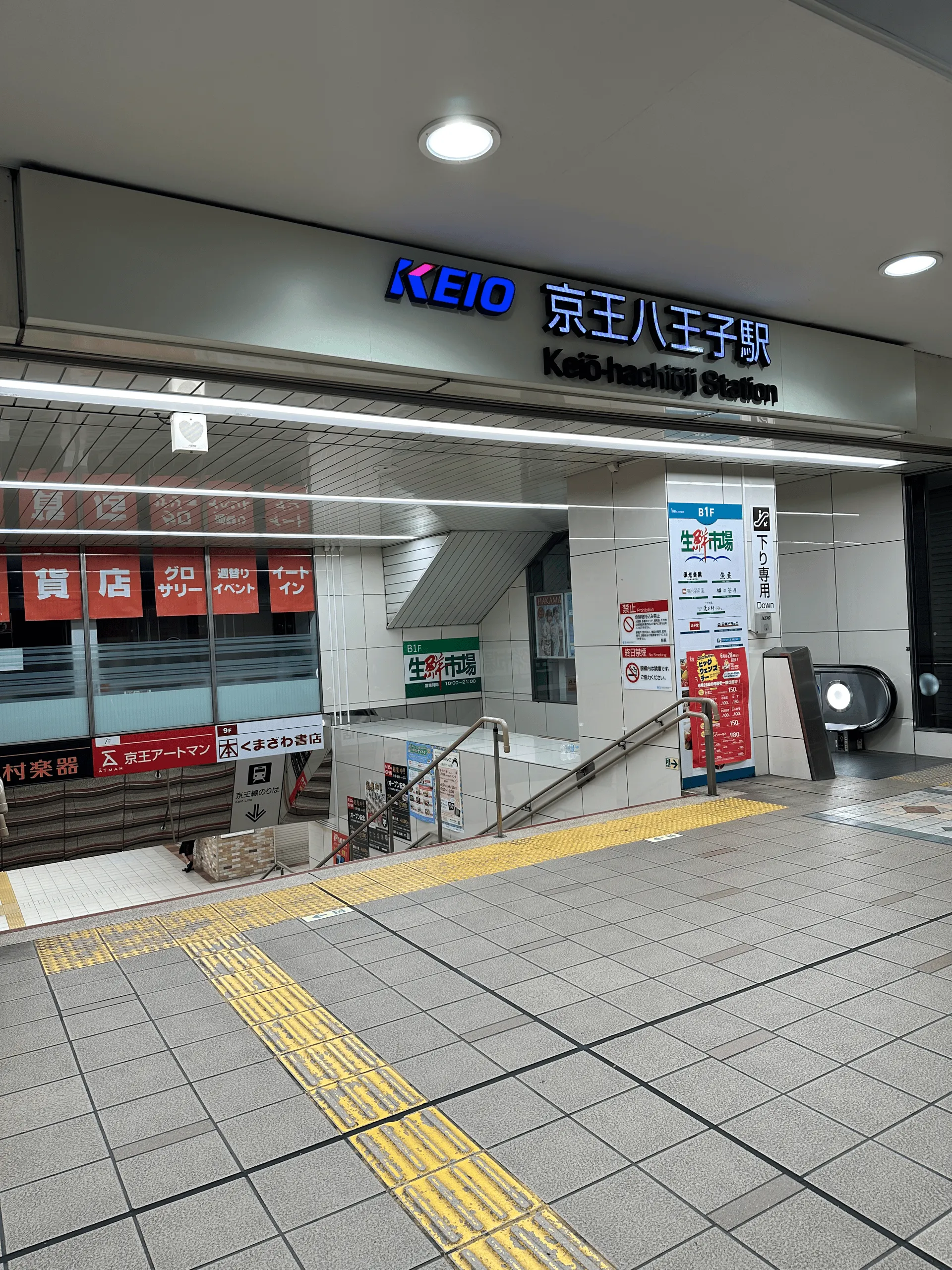
We got on the 00:15 bus from Keio-Hachioji station (京王八王子駅). Japanese trains usually tend to run until around midnight, so basically you’ll be aiming to get on one of the last trains out of Tokyo, giving yourself enough time to buy some food at a conbini (there will be nothing when you get off the bus) before lining up for the bus.
If you live quite far from Hachioji, there’s also the option to get on at Takebashi station (竹橋駅) in inner Tokyo at 23:00.
Although you should be able to get a bus one-way, there’s also an option to get a tour package. You may have to do a bit of Googling to find the link for next year in 2025 but for example in 2024 there’s the option to get the bus overnight, hike up to Mt Aka, spend the night at the Akadake tenbousou (赤岳天望荘) mountain hut before descending the next day and getting on the 15:45 bus back to Shinjuku.
If it’s your first time on an overnight bus: the seats do recline a bit (maybe more than a plane) and do have chargers for your phone. They will make several 15 - 30 minute stops along the way at rest stops on the highway. They’re actually quite strategic in their breaks in that they don’t want to drop you off at the trailhead too early, so expect longer breaks if there’s no traffic out of the city. By the time we reached the bus stop at 5am, it was already fully bright, so you shouldn’t be too concerned about hiking in the dark, although I’d bring a headlamp just to be safe.
Also as a side note, you’re a woman, you’ll be always seated next to another woman, so you can hopefully feel a bit more comfortable when getting some shut-eye.
Minoto trailhead via local bus
The Minoto trailhead is also accessible via bus from Chino station (茅野駅). Since we didn’t reserve an overnight tour package, we got this local bus back. The bus trip takes about 40 minutes.
If you Google “美濃戸口線” the bus timetable should come up with links out to the PDFs. For example in 2024, the summer bus timetable ran between April 27 and Oct 27. with the first bus in the morning from Chino station at 9:20, and the last bus back from the trailhead leaving at 16:00.
The bus runs on weekends and public holidays, as well as daily between the summer holiday period of July 27 through to August 25.
Chino station is about 2.5 hours from Tokyo, so if you don’t mind the late start, you could get to the trailhead around 10am, spend a night at a mountain hut, and then hike back down the next day.
Car access
For those coming by car, you’ll be able to park your car next to the trailhead at Aka-dake sanso (赤岳山荘) or Yamanoko-mura (やまのこ村) car parks, which fit a total of 150 cars. The parking fee is 1000 yen, with 100 yen for the toilet on site. Note that the 2.5km trail up to the carpark is on a rough dirt road. I did notice one Japanese site recommend to come during day light hours just so you have an easier time of it.
A lot of hikers might arrive the night before and sleep in their car as well. So I would recommend not leaving your arrival too late, especially if you are coming on a weekend.
When to hike Mt Aka
If you want to hike Mt Aka without snow, you’ll be able to start hiking from around the end of May. June is also the rainy season though, so it may be harder to find a good weather day, in which case your chances are better in July onwards. You should be able to hike it through to mid-October, and maybe the end of October depending on the year, before snow sets in.
As always, I recommend checking out the latest conditions on YAMAP before you go.
Leave a comment