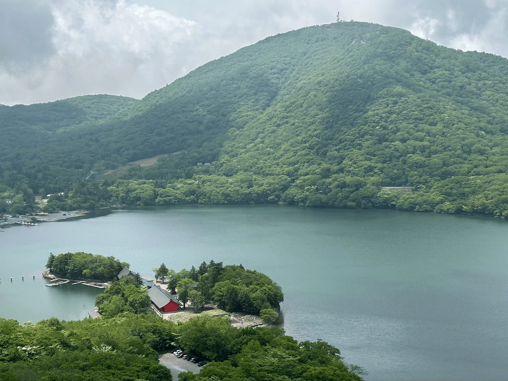
- Elevation 1826m
- When to climb May - November
- Standard hiking course is 5km and 3.5 hours, which can comfortably be done as a beginner-friendly day trip from Tokyo.
Mountain stats
3.5 hours from Tokyo. Local train to Maebashi station and then a bus to Akagi Visitor Centre.
2.5 hours drive from Tokyo. There is a decently-sized car park at the visitor centre.
Mt Akagi (赤城山, akagi-yama) is a Hundred Famous Mountain in Gunma prefecture. The mountain is particularly famous for its Japanese azaleas (レンゲツツジ), which bloom a beautiful pinkish-red in May and June each year. With buses to the trailhead, it’s a good day hike candidate if you’re looking for an escape from Tokyo. The standard loop course to the peak will take you 5km and 3.5 hours.
I climbed it in June of 2023, and opted for a longer 12km hiking course, which takes you past Mt Akagi and around Lake Konuma, with a final climb up to Mt Jizo-dake.

The first portion of the hike takes you past the edge of Lake Onuma, where I made a quick detour to Akagi Shrine. The vivid red of the shrine is visible, even from a distance. It also partially juts out onto the lake, which makes for some interesting pictures.
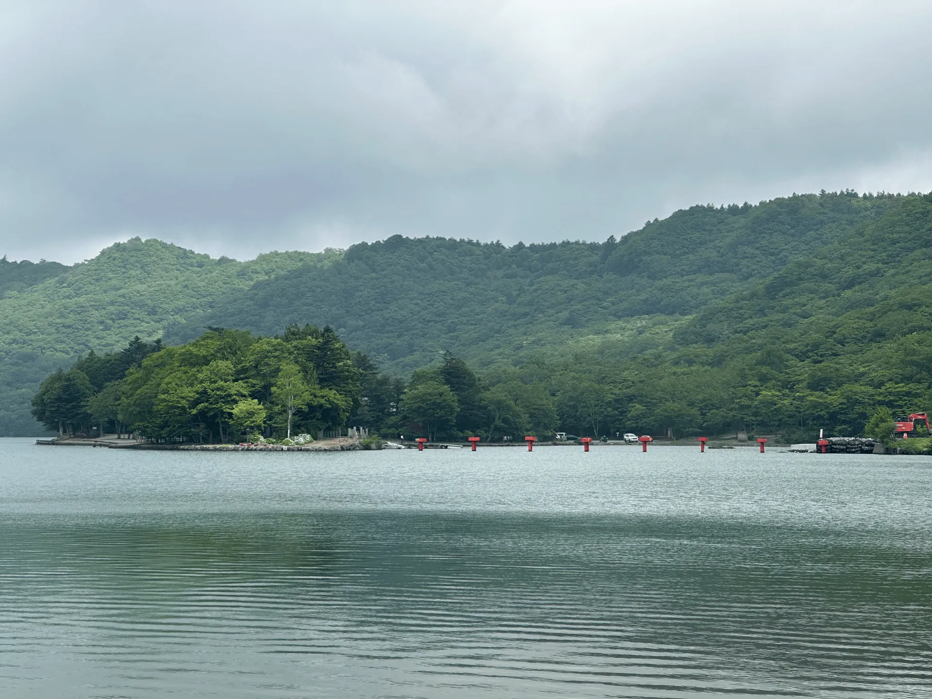
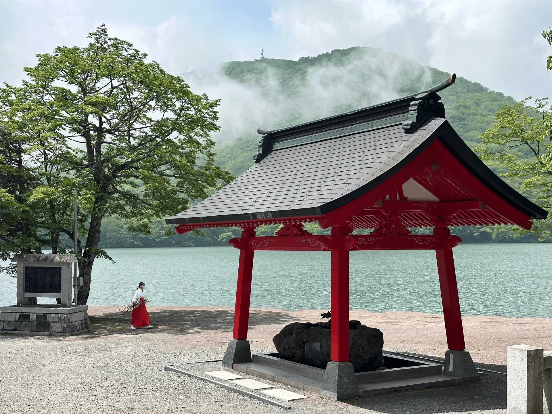
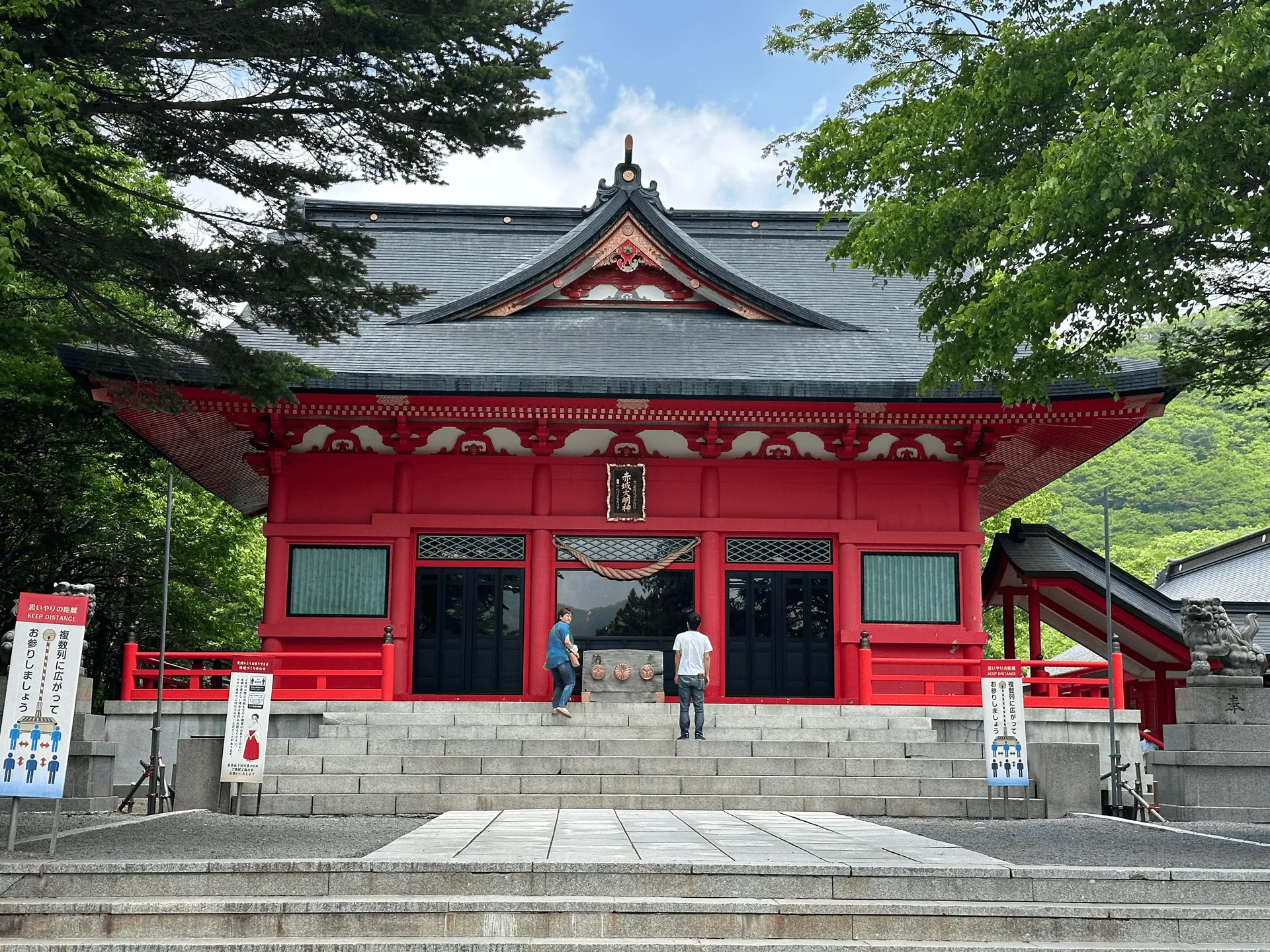
After visiting the shrine, the main hiking course begins. With the azaleas being in full bloom, the trail was quite crowded with hikers in large tour groups. Although these groups can be quite slow (a lot of them are quite elderly, actually), luckily they are all very polite. The person at the back will call out to the person out the front, to let them know you are passing through!
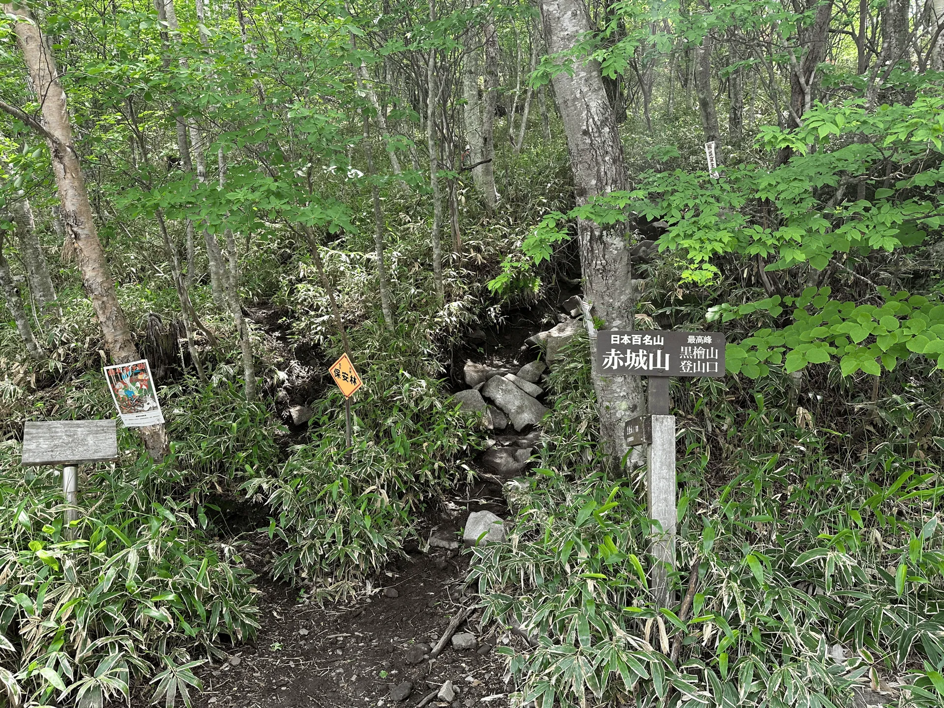
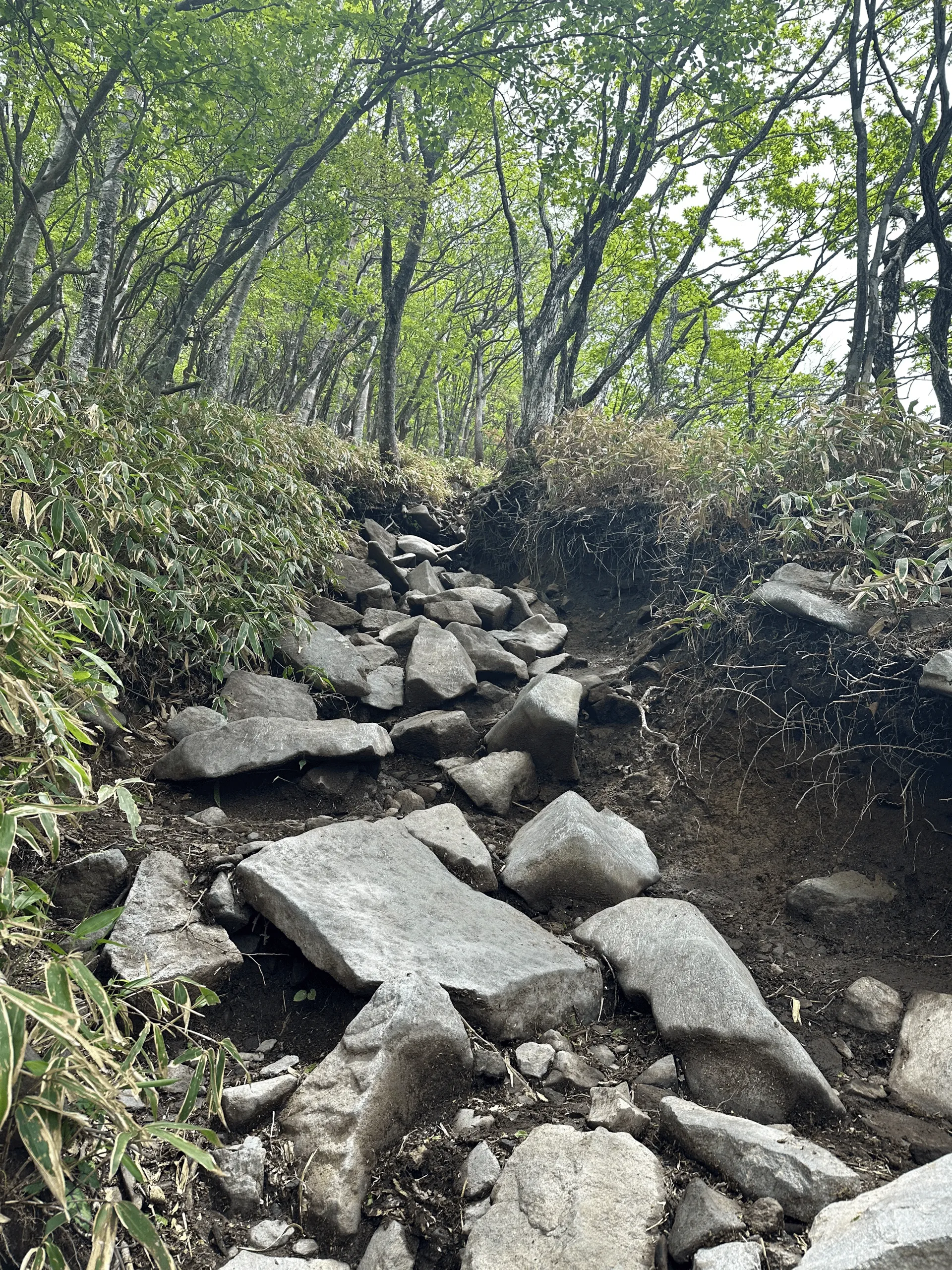
The trail was quite rocky and steep, as you gain over 400m of elevation in one go.
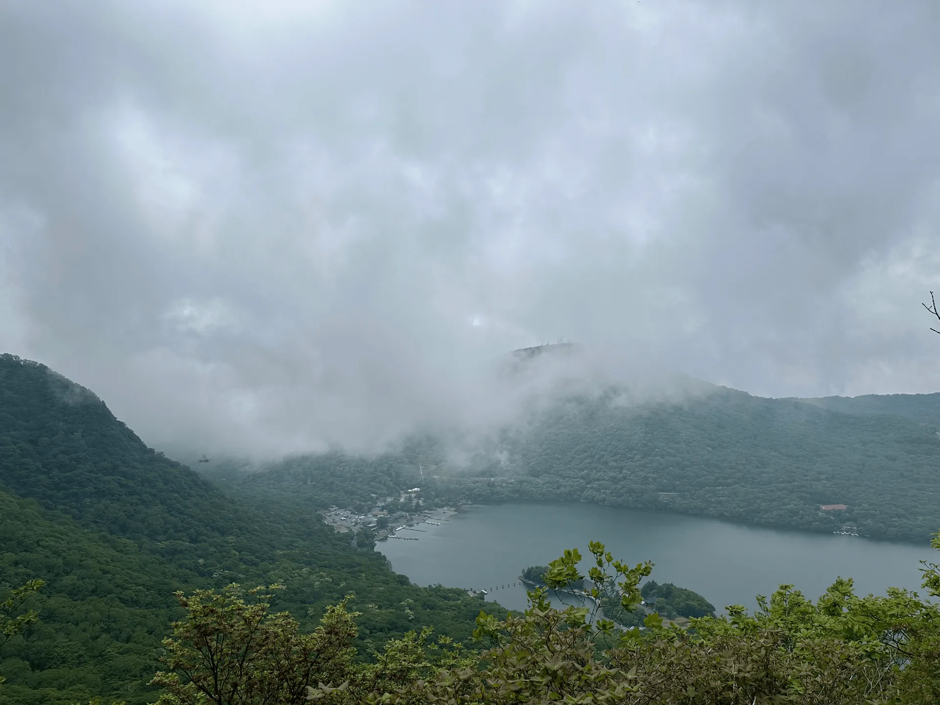
As you climb, you also get another chance to see Lake Onuma and Akagi Shrine down below. However, around this time the fog started to roll in as well.

And by the time I reached the summit after an hour of climbing, I couldn’t see anything at all!
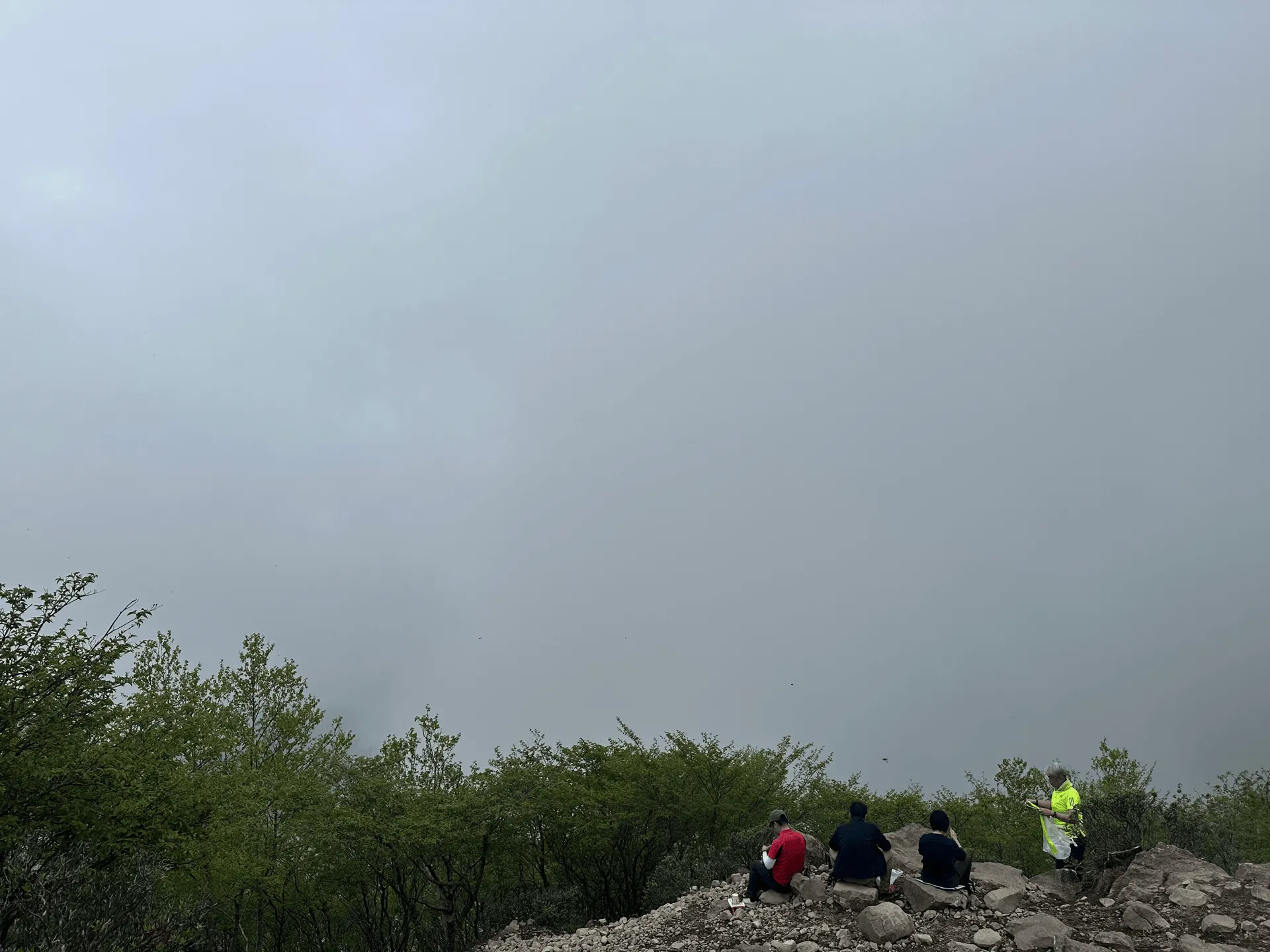
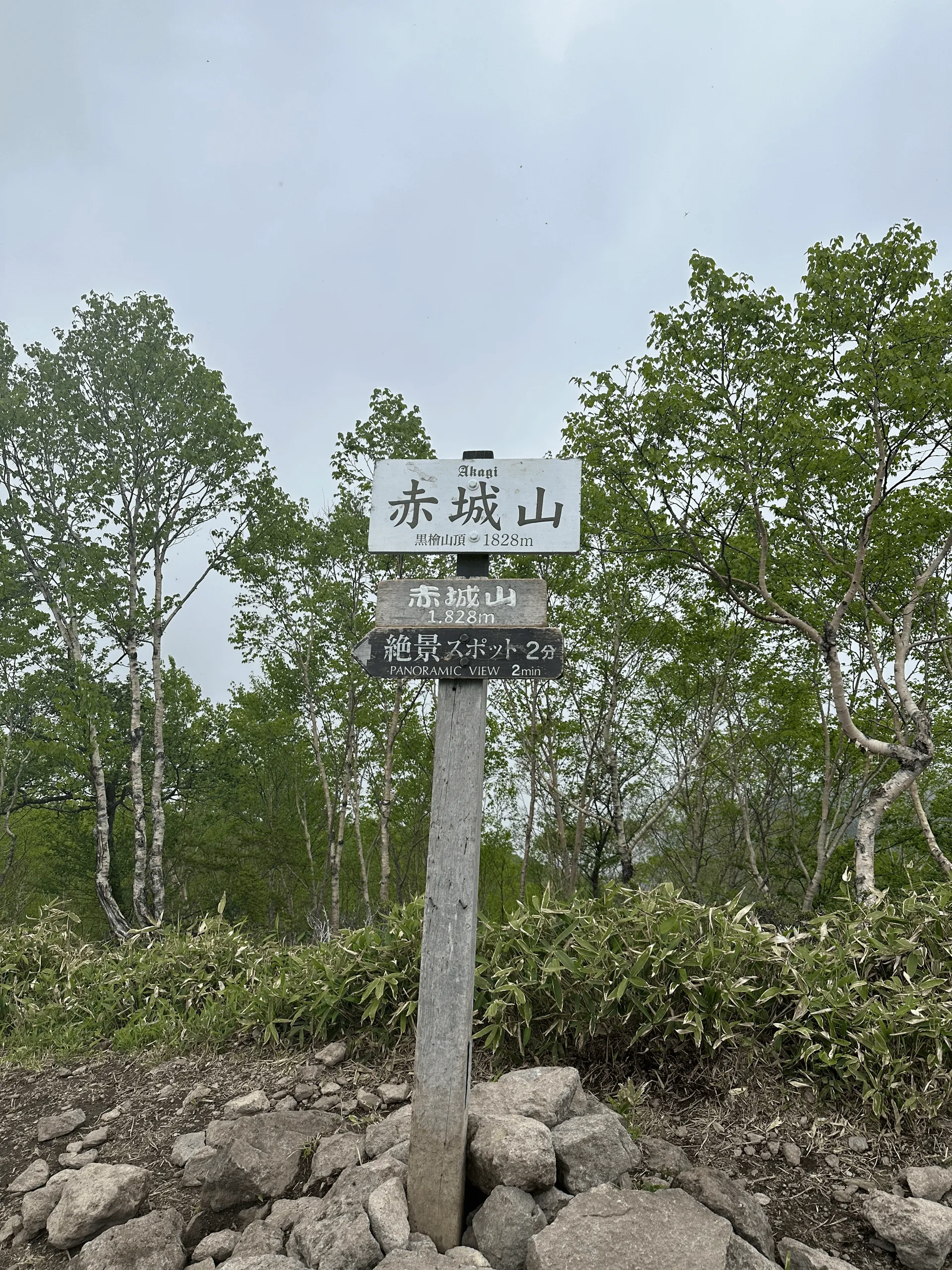
The peak of Mt Akagi is also referred as Mt Kurobi (黒檜山), and stands at an elevation of 1828m. From here, the trail continues along to the second peak on the course, Mt Komagatake (駒ヶ岳), which I reached in another 30 minutes of walking.
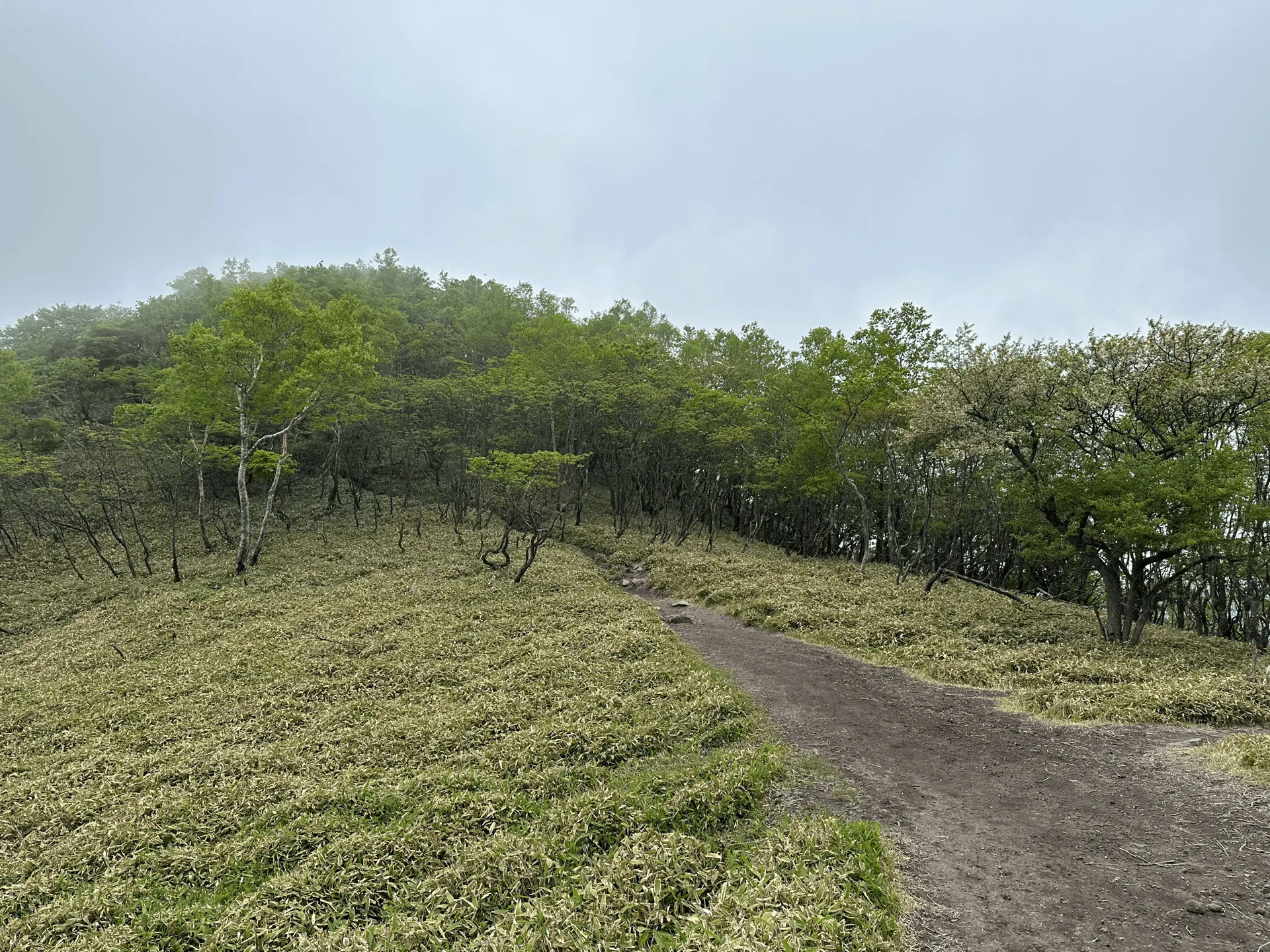
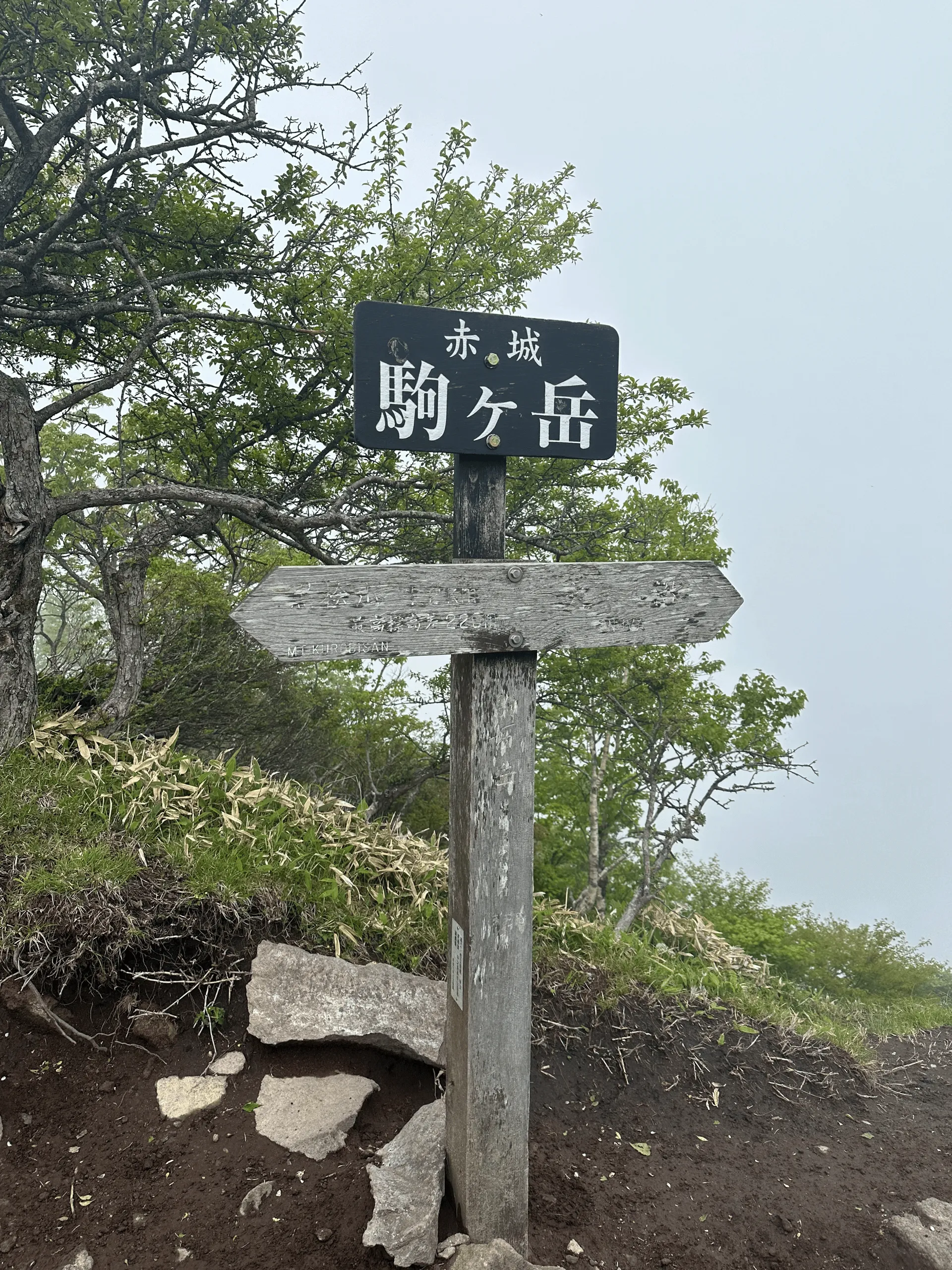
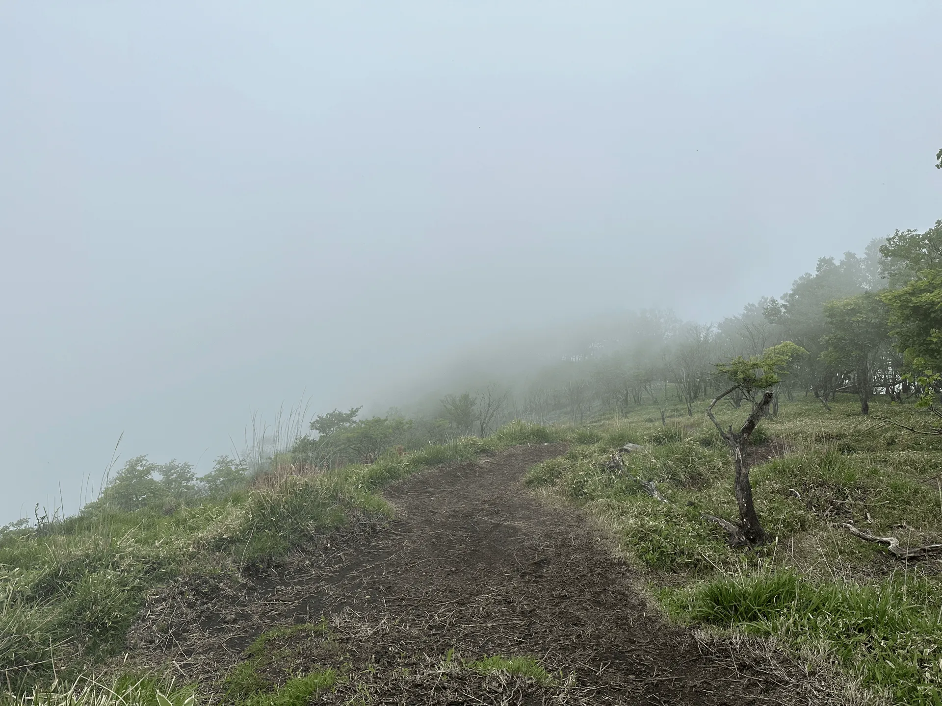
Now if you take the standard 3.5 hour loop course around Mt Akagi, there’s a fork after Mt Komagatake which takes you back down to the trailhead. But I had wanted to do a longer course today, so I continued on.
I felt really lucky that I did, because the azaleas were at their most beautiful after this fork.
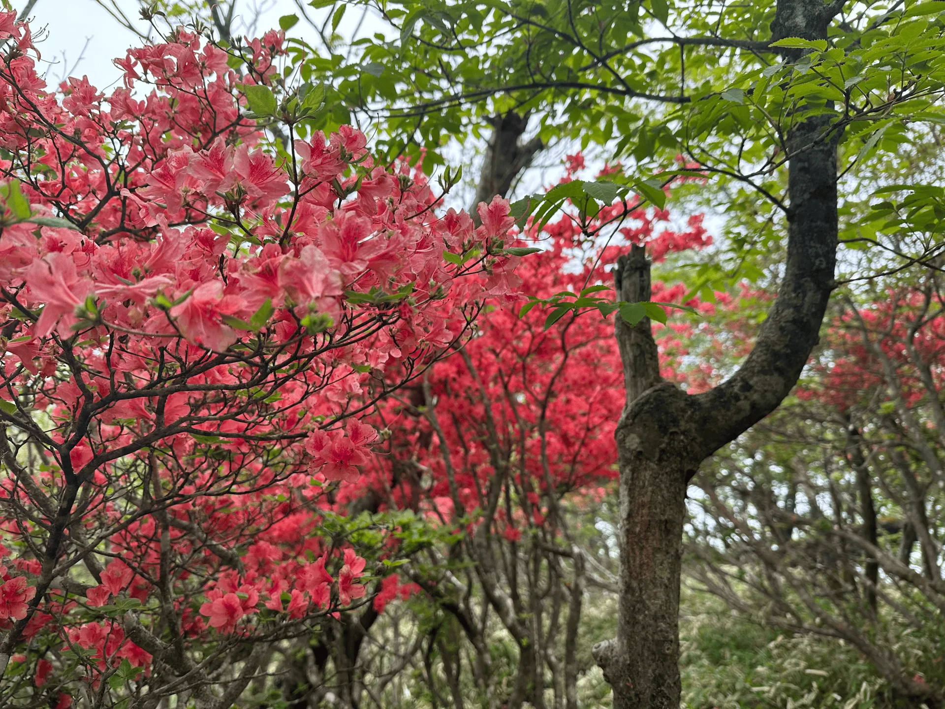
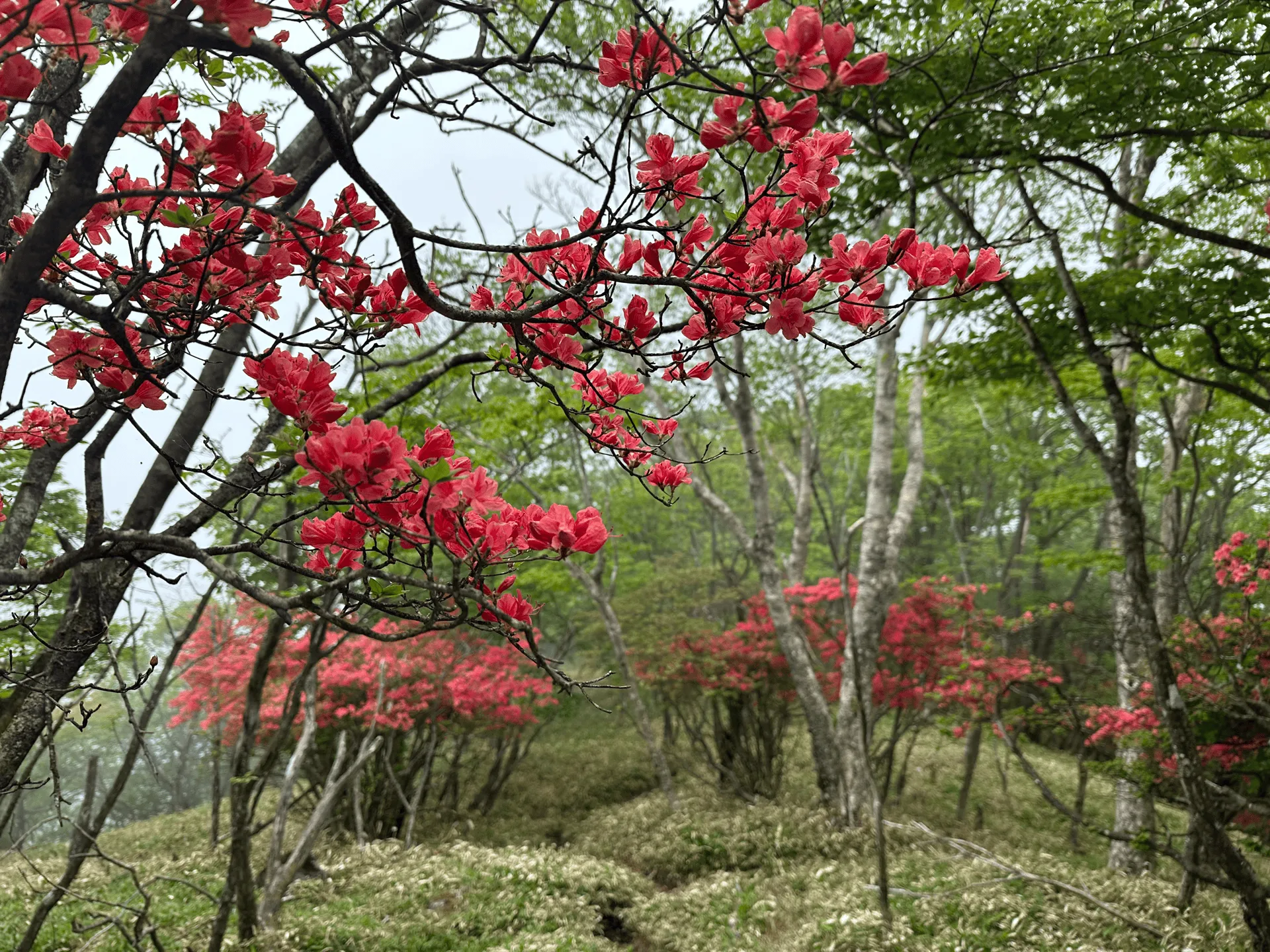
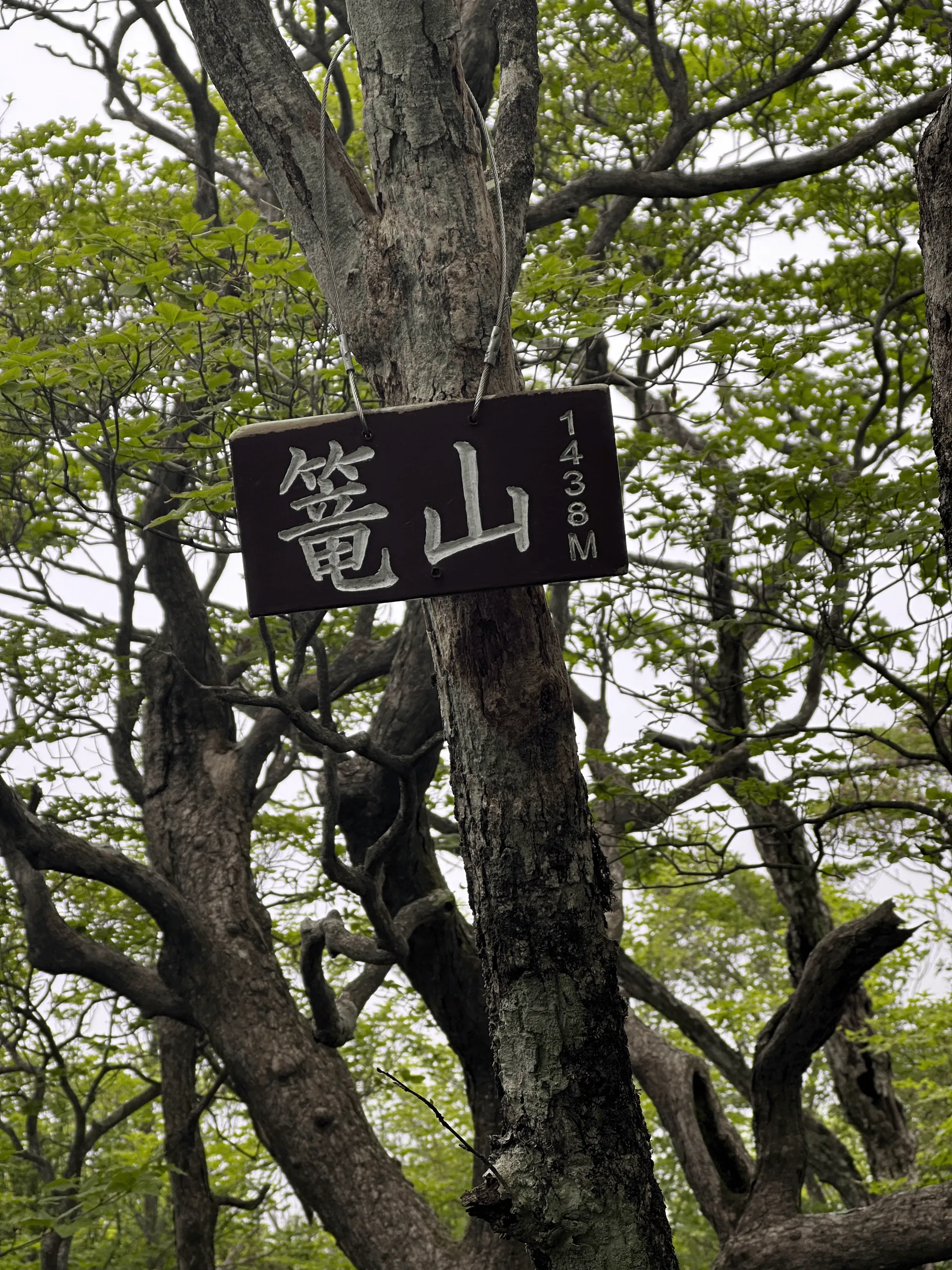
You’ll eventually come to Mt Kago-yama (篭山), which has a fairly unassuming peak marker located among the trees.
Today’s route was kind of interesting in that it’s sort of two hiking courses merged into one. Around the halfway point, you actually descend back to a road (and civilization), before you then climb again for round two of hiking.
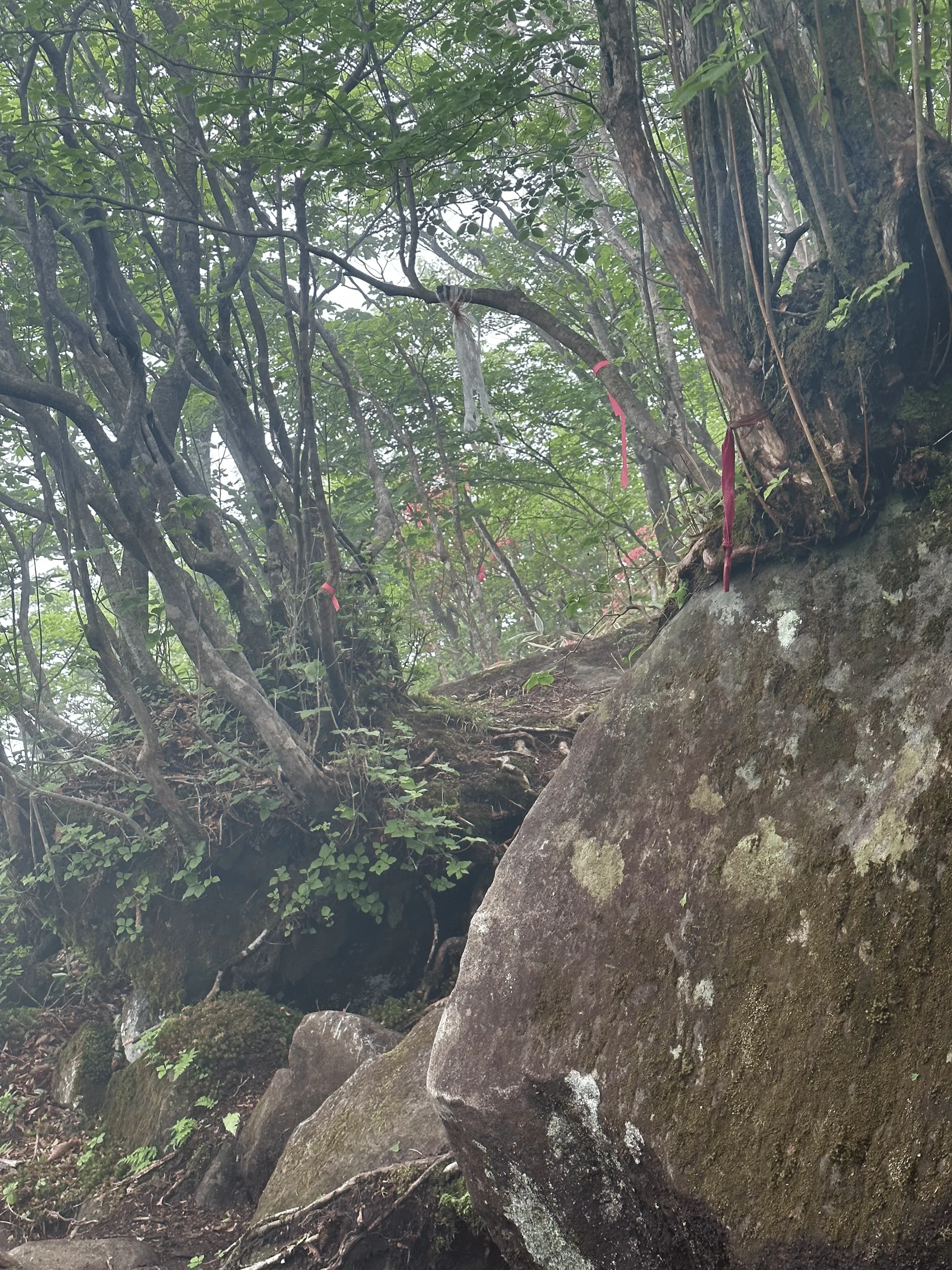
The trail was relatively quiet, and the descent back to that carpark was a bit confusing at times so I definitely recommend having a GPS map handy. There are ribbons of pink tape to mark the trails, although funnily enough they sometimes blended in with the flowers which made them harder to spot!
As you pass by the carpark, you’ll also pass by what is apparently the “Suntory Beer Highland Hall”. Not too sure what that’s about, but I think it’s just like a small eatery for people stopping by on a drive or after finishing off their hike.
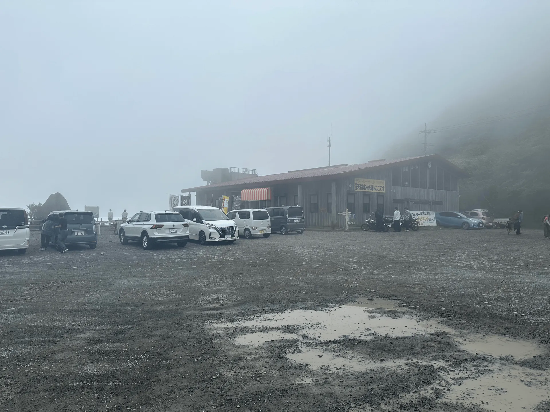
From the beer hall, you’ll start your climb again up to Mt Kojizou-dake (小地蔵岳) and Mt Choshichiro (長七郎山). Apparently it’s on the list of the “300 famous mountains of Japan”.

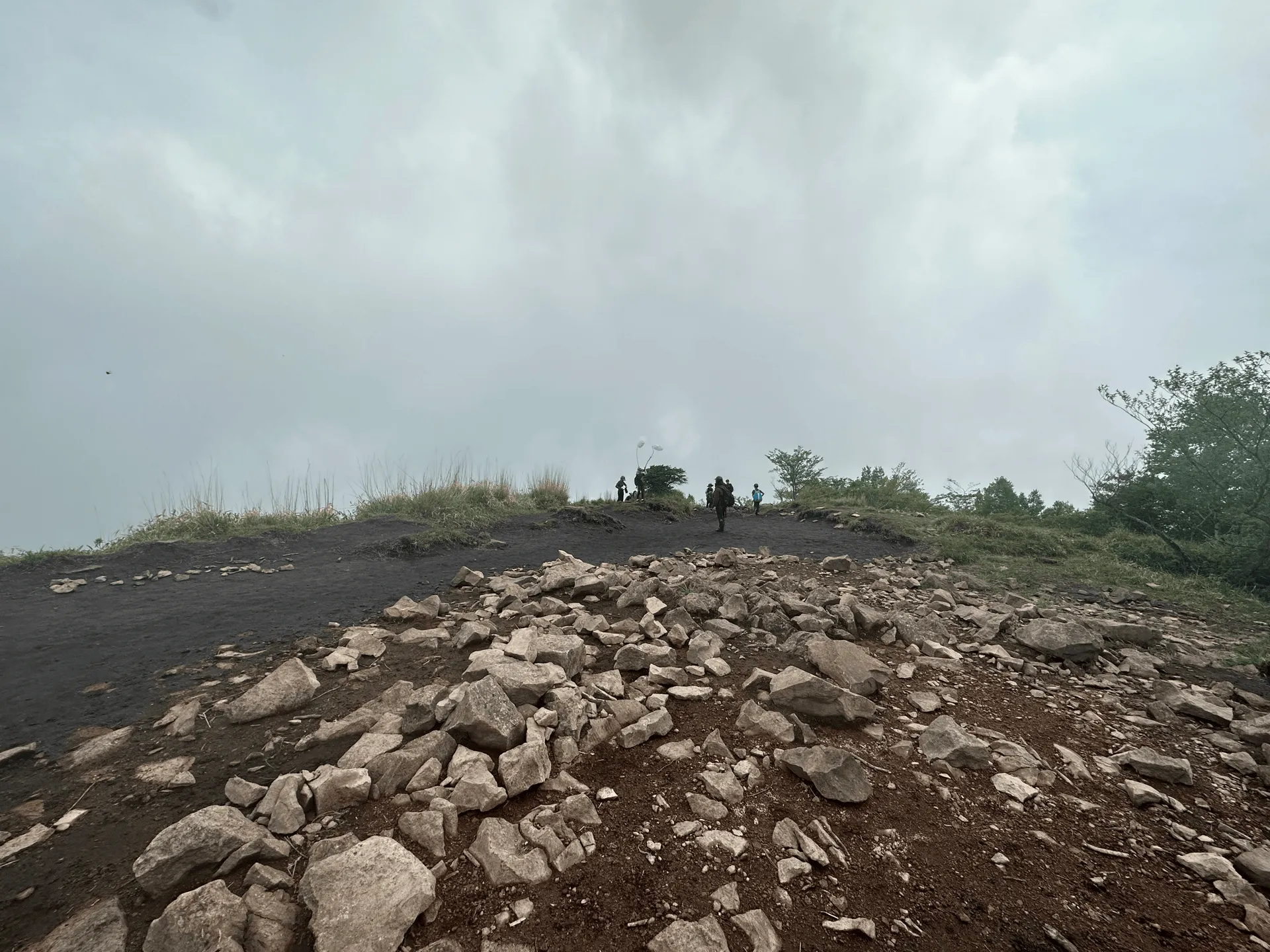
Unfortunately with the fog though, there wasn’t much of a view! Next the trail takes you down to walk alongside Lake Konuma (小沼).
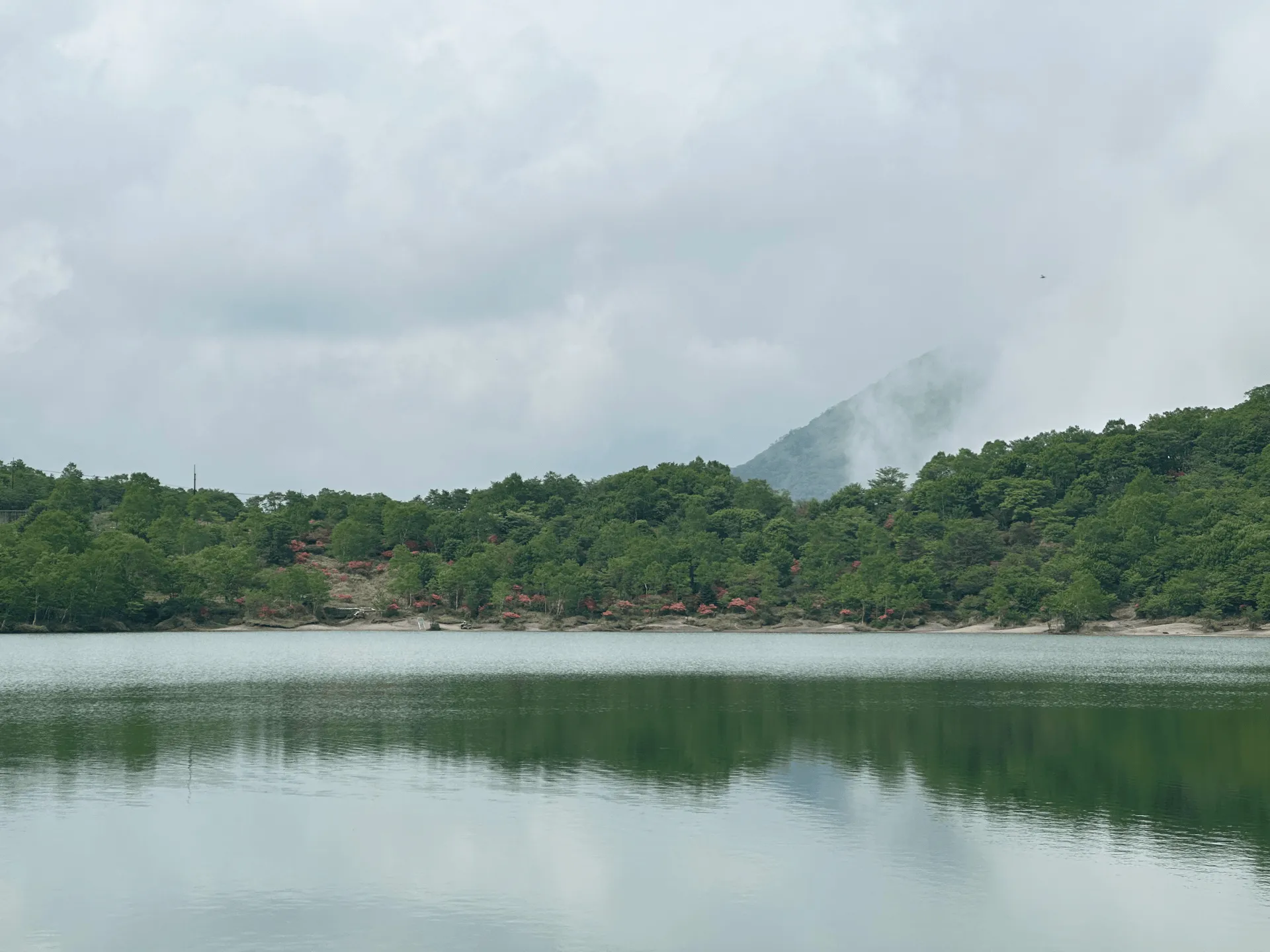
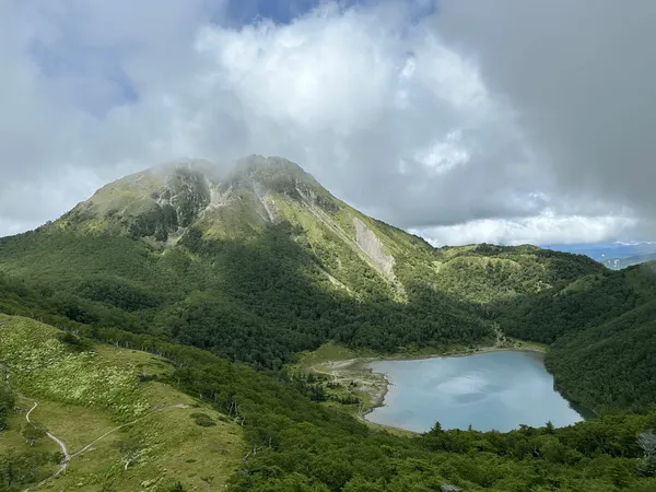
From Lake Konuma, I think you might be able to see up towards the summit of Mt Akagi - mostly invisible behind the fog today. But the exciting part about Lake Konuma is that there were a lot of azaleas in bloom here as well. As well as hikers, there were some tourists who had come just to enjoy the scenery.
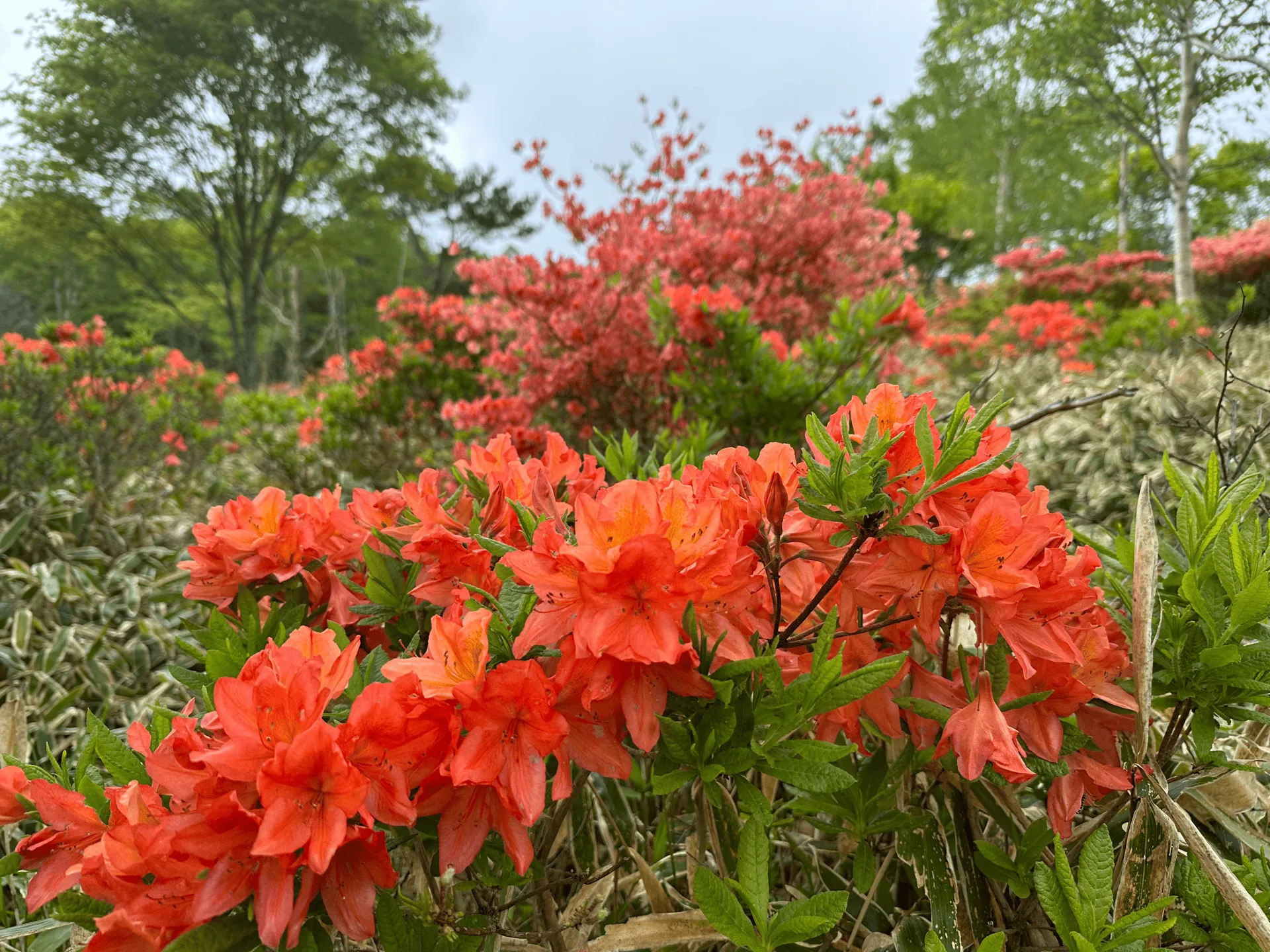
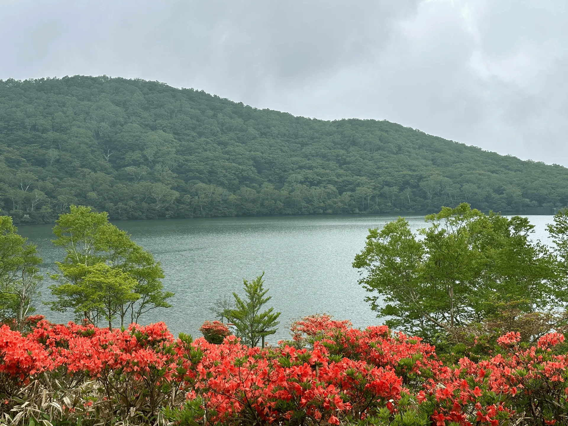
From here, it’s one final climb to Mt Jizo-dake (地蔵岳). I’m not going to lie, at this point I was pretty tired!
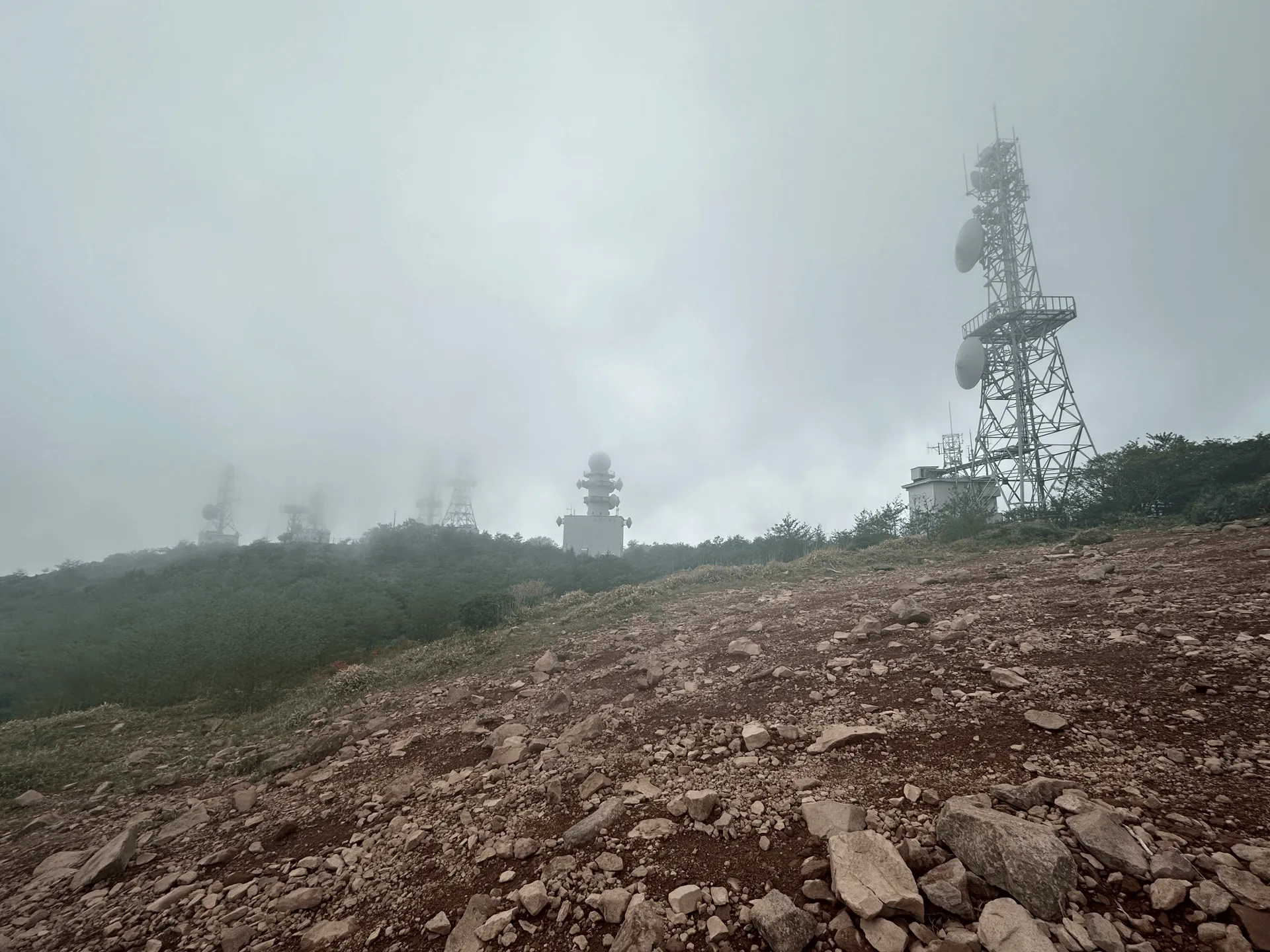
Once I reached the summit of Mt Jizo-dake, it was about a 50 minute descent to finish the course. I’ll say that this was the toughest part. It was very steep, and almost slippery with all the loose rock. I got the impression that not many people descend this way.
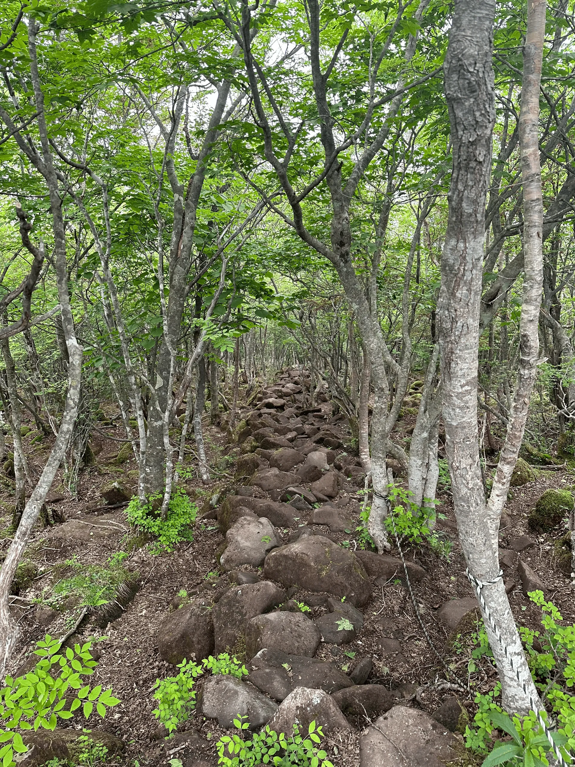
I had a big sigh of relief once the road finally came into sight!
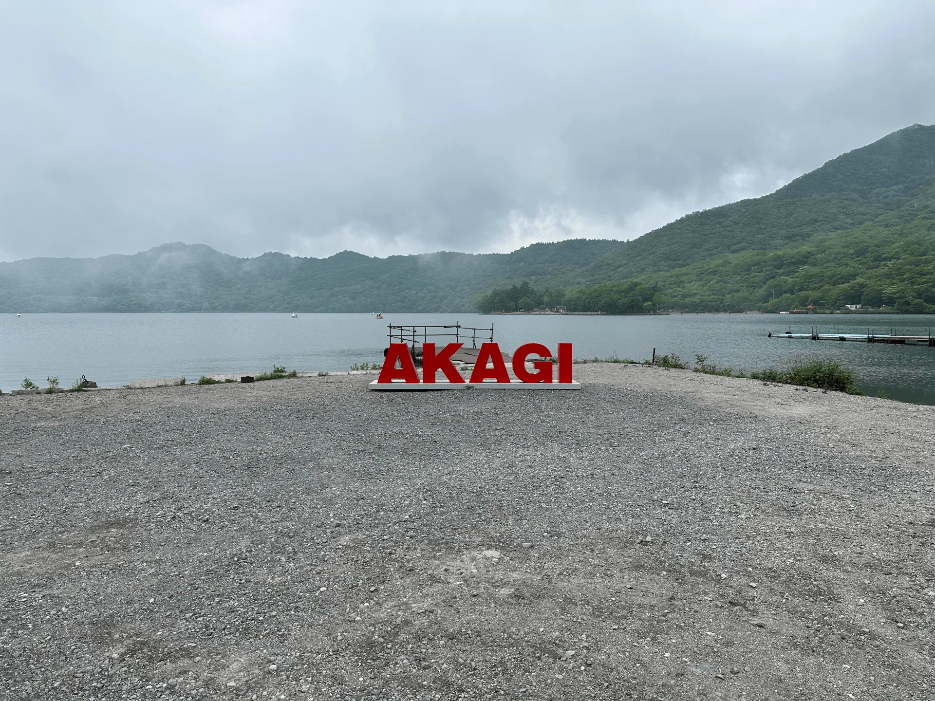
The course finishes off back where you started, next to Lake Onuma. There was a big red Akagi sign right near the lake as well if you wanted a photo opportunity.
Hiking course options
| Date climbed | Length | Course time |
|---|---|---|
| 2023-06-10 | 11.8km | 7h15min (the expected time for an average hiker without breaks) |
My overall impression of the 12km course that I hiked was that there were some very beginner-friendly parts of the trail, but these were randomly connected with more tough portions. In some sections, it was a bit difficult to figure out where the path forward was either.
I think I probably hiked 2 separate beginner-friendly courses, and then there were the interconnecting parts in between that were maybe less-travelled.
If you’ve done some amount of hiking, I still think it’s totally fine. But for a beginner I would recommend sticking with the shorter 5km loop course, which will take 3.5 hours. It’s also available on Alltrails here.
Public transportation access with itinerary
| Time | Location | Transport | Cost | |
|---|---|---|---|---|
| 06:20 | Tokyo Station (東京駅) | Local train | 1980 | |
| 08:33 | Maebashi Station (前橋駅) | |||
| 08:45 | Maebashi Station (前橋駅) | Bus | 1700 | |
| 09:54 | Akagi Vistor Centre (赤城山ビジターセンター) |
You can take a local train from Tokyo to Maebashi station on the JR line. You’ll need to make a transfer at least once or twice, so I recommend using Google Maps to figure out the stations you need to transfer at.
Alternatively, you can also take a Shinkansen to Maebashi, which will save you an hour but cost an extra 3000 yen.
From Maebashi station, you’ll be able get on a bus that takes you to the trailhead. Depending on the time of year, as well as the 8:45 bus there is one that departs at 8:27. However there are none after that until 12:10 so don’t be late!
For your return bus, your options are 13:40 and 16:40. If you’re fast and are taking the shorter 3.5 hour course, you might be able to get the 13:40 one. Otherwise, make sure not to miss the 16:40 one! If you have some time to kill, there are a couple of small cafes and souveneirs around the lake.
| Time | Location | Transport | Cost | |
|---|---|---|---|---|
| 16:40 | Akagi Visitor Centre | Bus | 1700 | |
| 17:49 | Maebashi Station | |||
| 18:15 | Maebashi Station | Train | 1980 | |
| 20:20 | Tokyo Station | |||
| Trip total: | 7360 |
If you Google “前橋駅 赤城山ビジターセンター バス” it should bring up the bus company’s website, which has links out to the timetable schedules.
The buses are running year-round, with the timetable being split into the “summer season” (April to October) and the “winter season” (November to March), which runs at a reduced schedule.
Car access details
There is a free car park outside the Akagi Park Visitor Centre (赤城公園ビジターセンター駐車場), which is about a 2.5 hour drive from Tokyo.
When to hike Mt Amagi
The two most popular months to hike Mt Akagi are in May, when the azaleas are in full bloom, and in October, during the autumn foliage season. Looking at a couple of hiking logs on the net, it looks like there is snow on the mountain as late as March and April. If you want to hike without snow, I would recommend between May and November. You can double-check on YAMAP to see the latest trail conditions.
Leave a comment