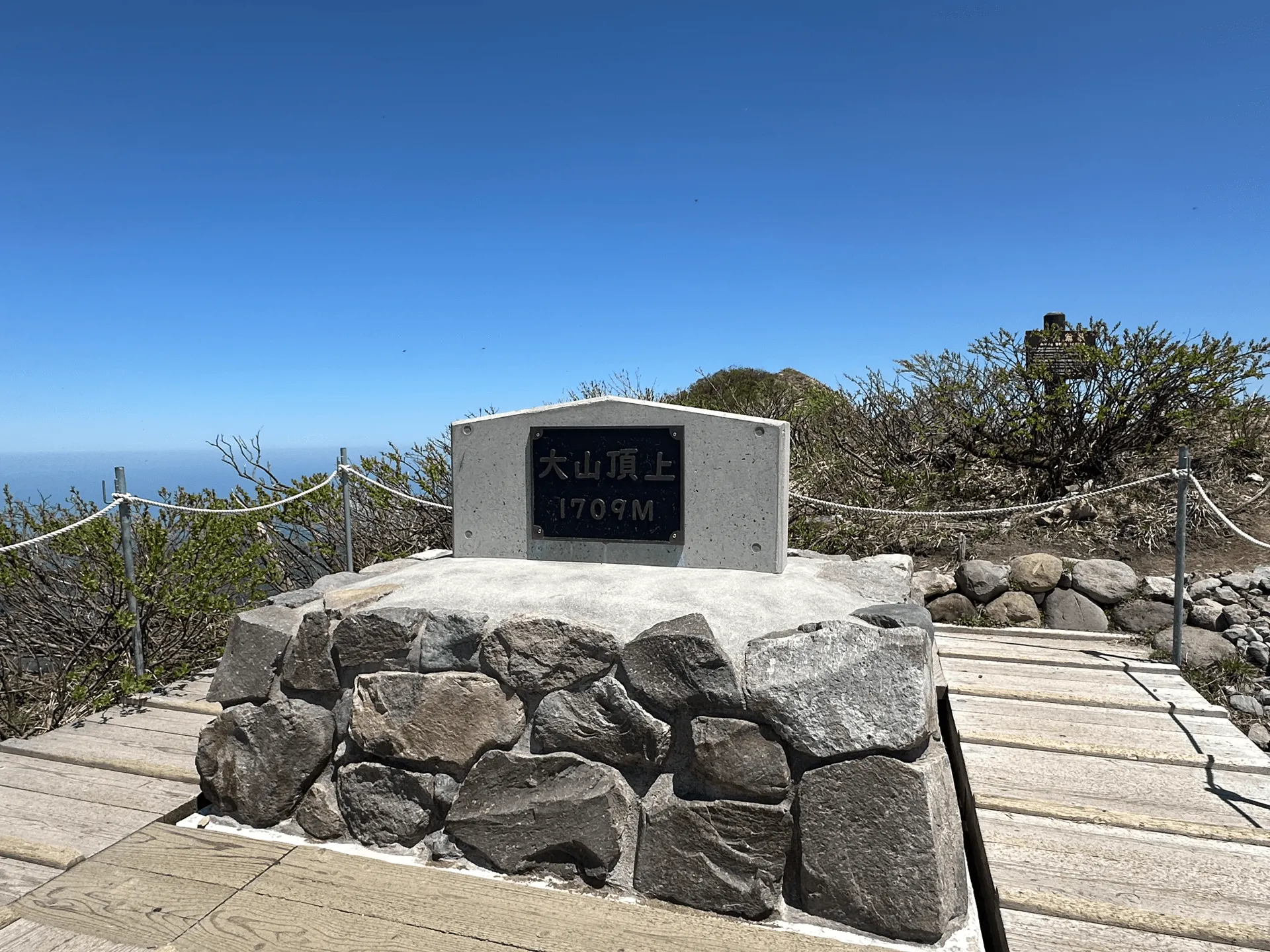
- Elevation 1729m
- When to climb
Mountain stats
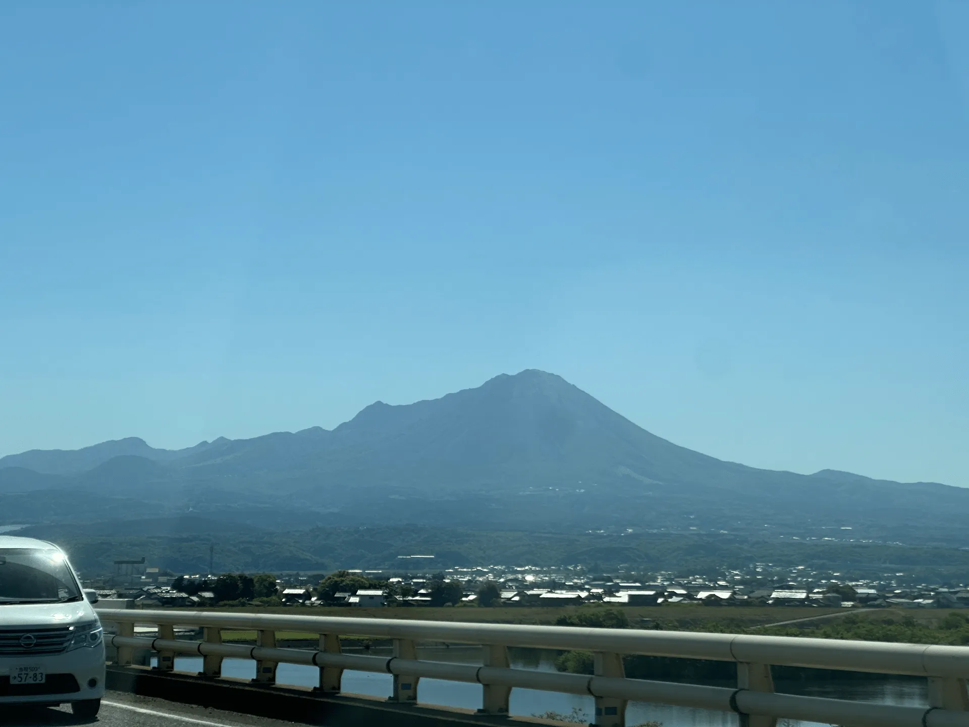
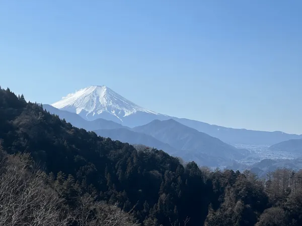
I happened to be down in Shimane for this year’s Golden Week holiday, so I ventured over to the neighbouring Tottori prefecture to climb its highest peak, Mt Daisen (大山, daisen). It’s also one of the 100 Famous Mountains of Japan and was the 30th one that I climbed!
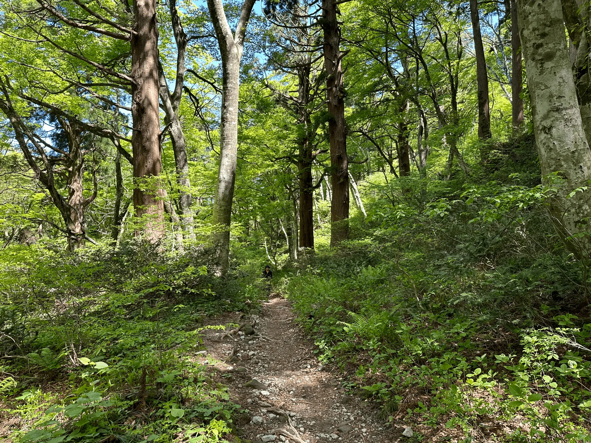
Mt Daisen wasn’t too far from where I was staying, and it’s not too long of a hike so we had a fairly relaxed start around 10am.
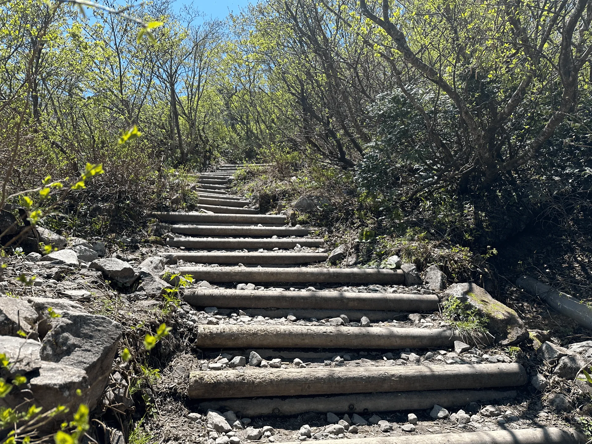
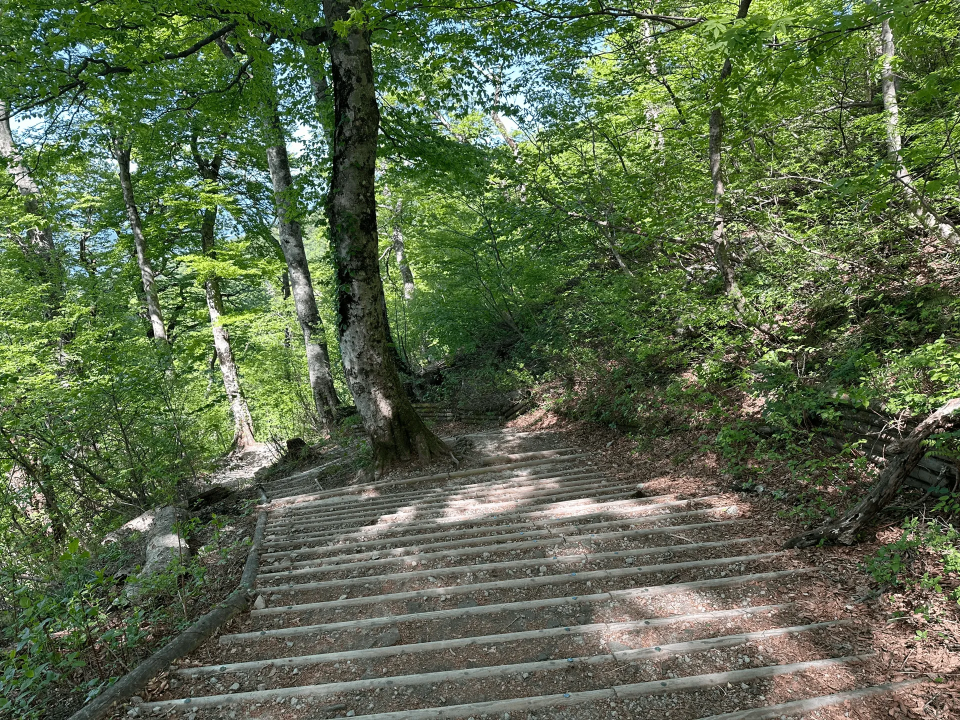
There is only one trailhead for Mt Daisen, and the course is a mix of a loop plus an out-and-back section nearer to the summit. For the loop part, we went clockwise as this gives you the harder, rocky sections on the climb up and then mostly stairs on the way back down.
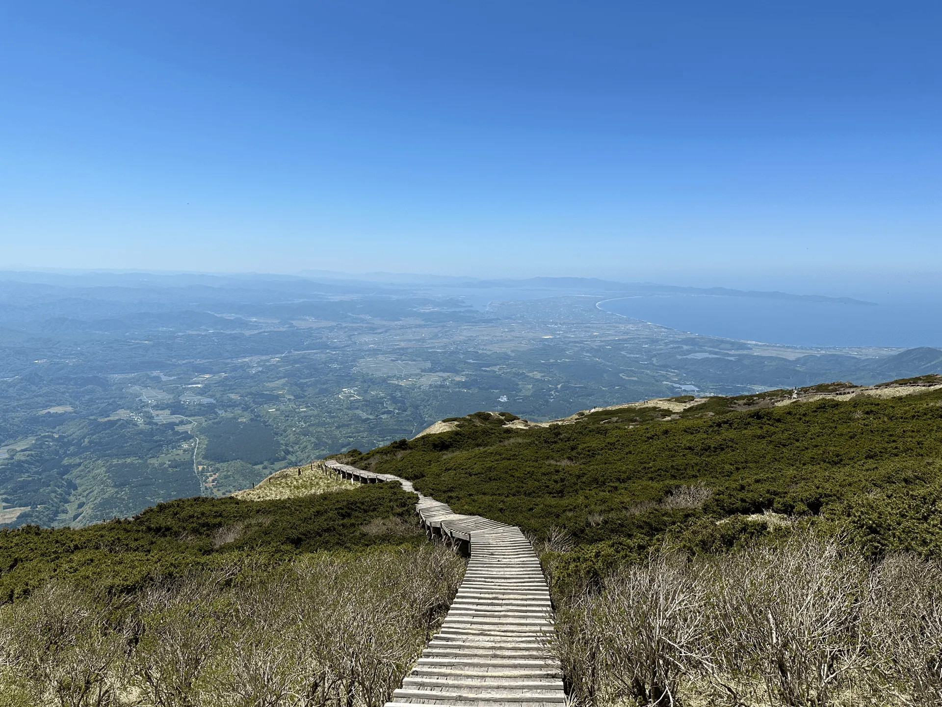
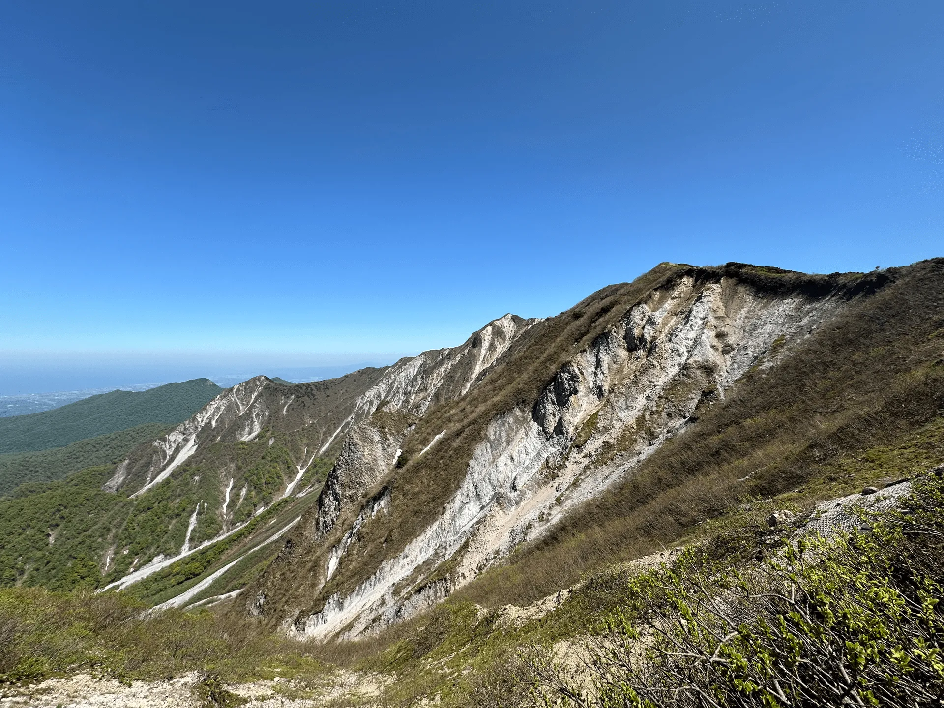
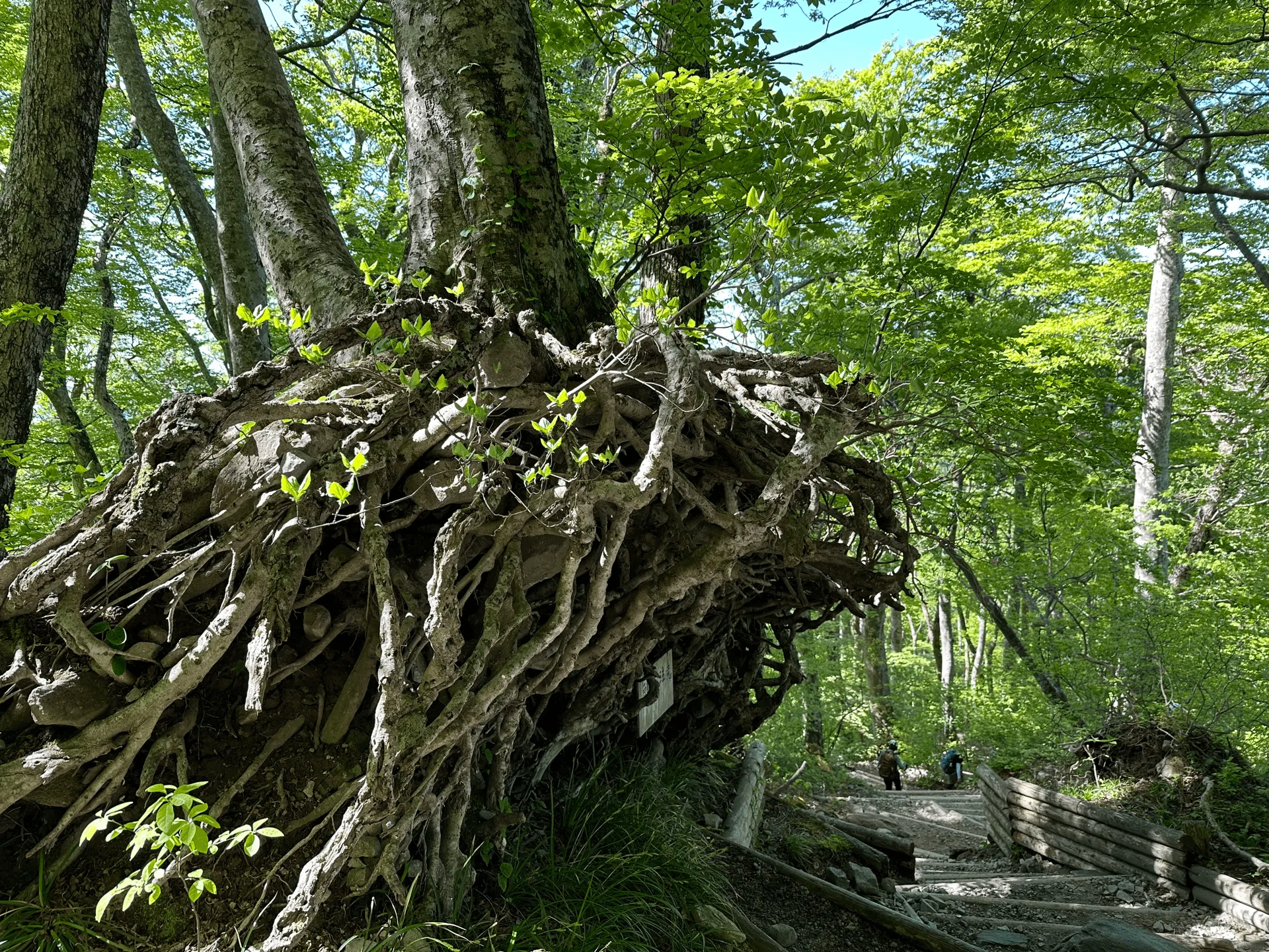
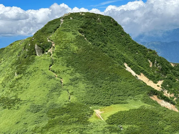
Once you make it through the forest, the course becomes a lot more exposed. It was only the beginning of May, but it was quite a warm day, and with the direct sunlight I got a tiny bit sunburnt on my arms.
I always put sunscreen on my face when I go hiking but it was a good reminder that it’s approaching the season where I need to worry more about my arms too!
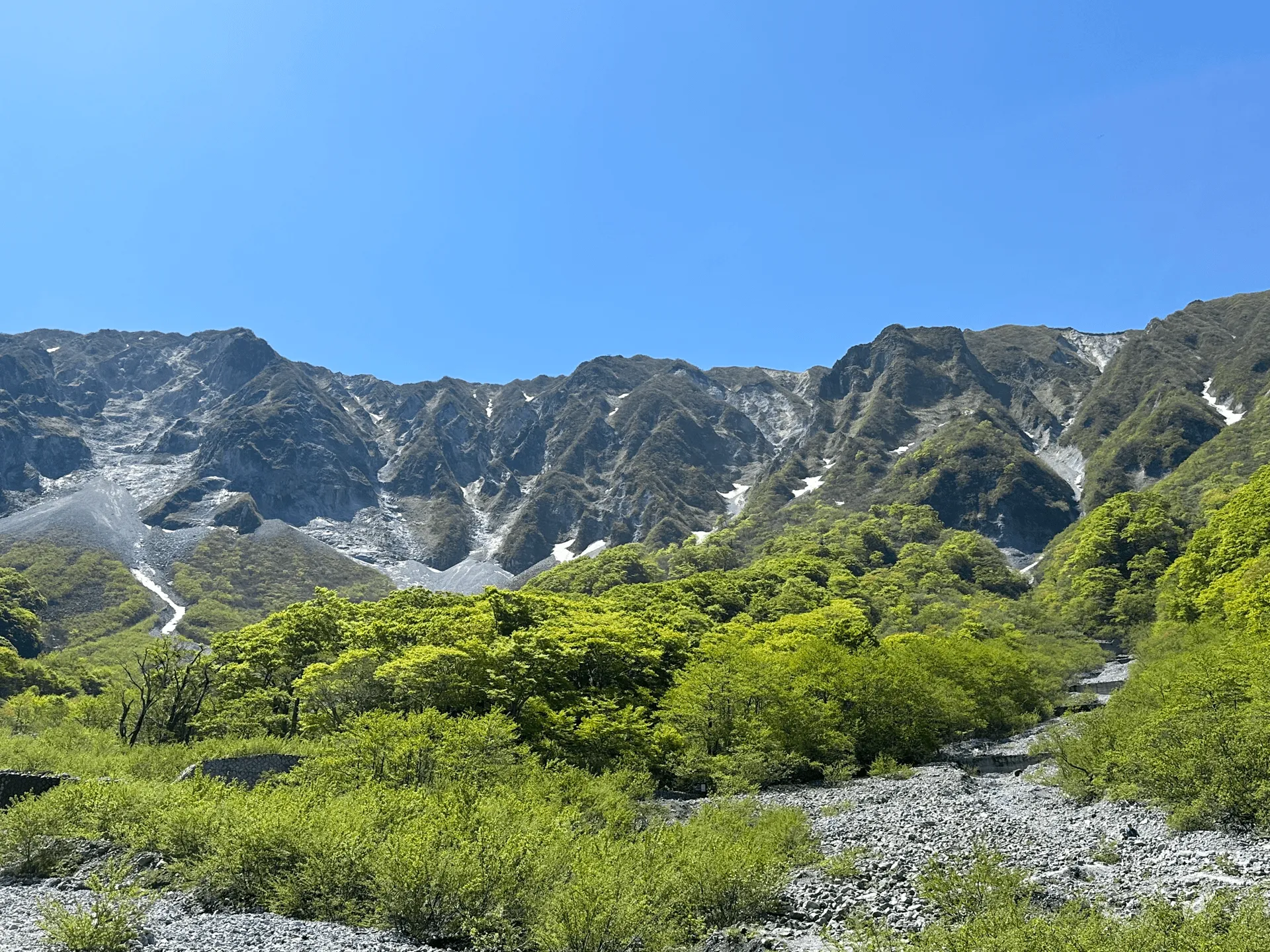
Since I was visiting during Golden Week, the mountain was probably at its most crowded. The path closer to the summit had some rocky sections that were quite narrow, so there was a lot of congestion and some queueing on the trail.
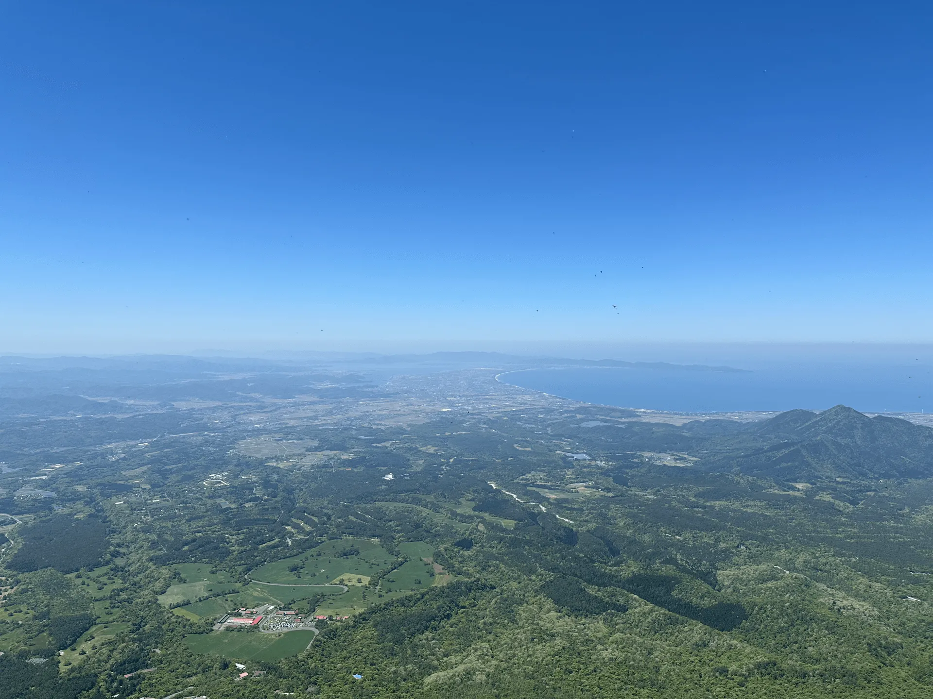
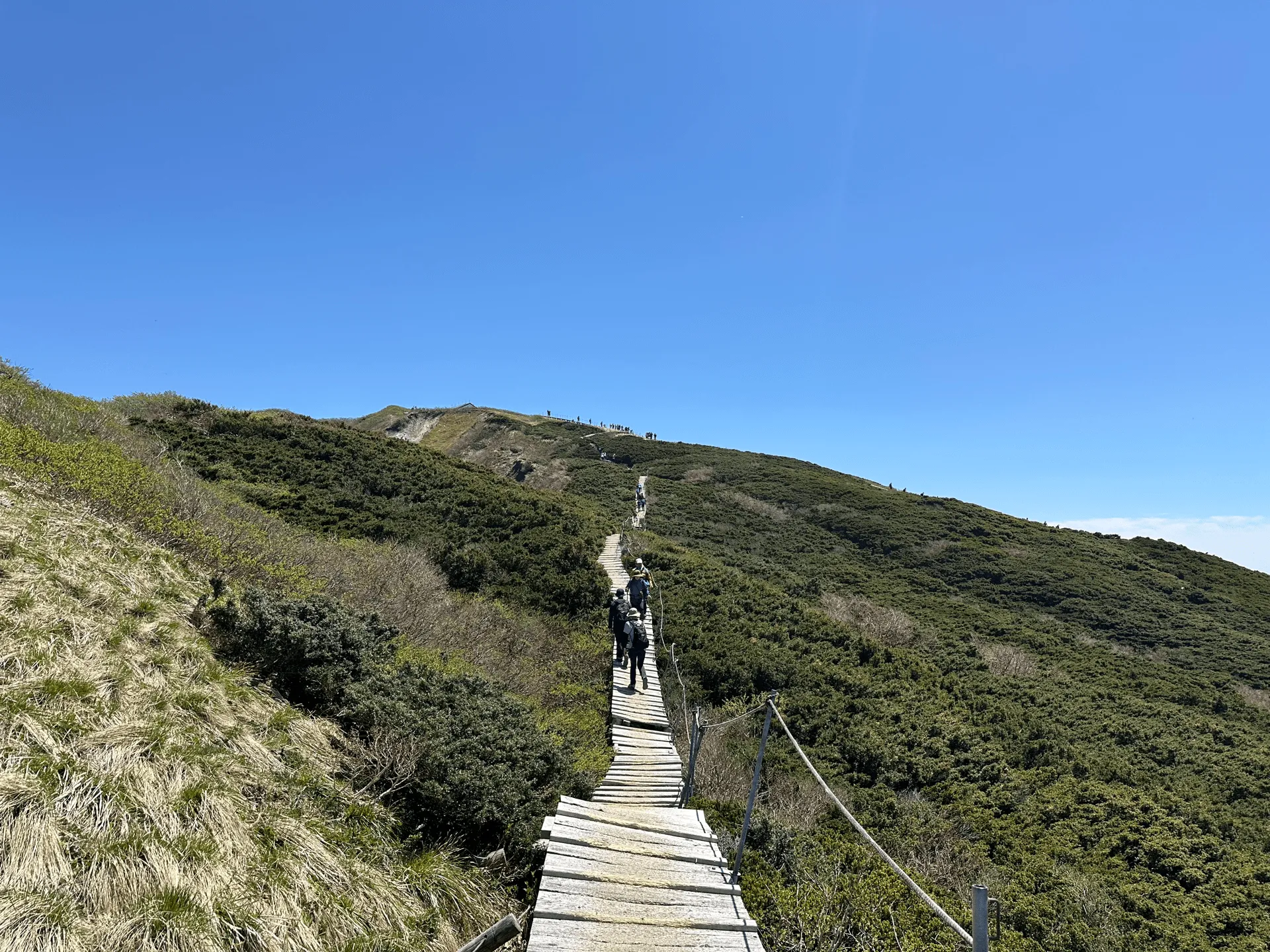
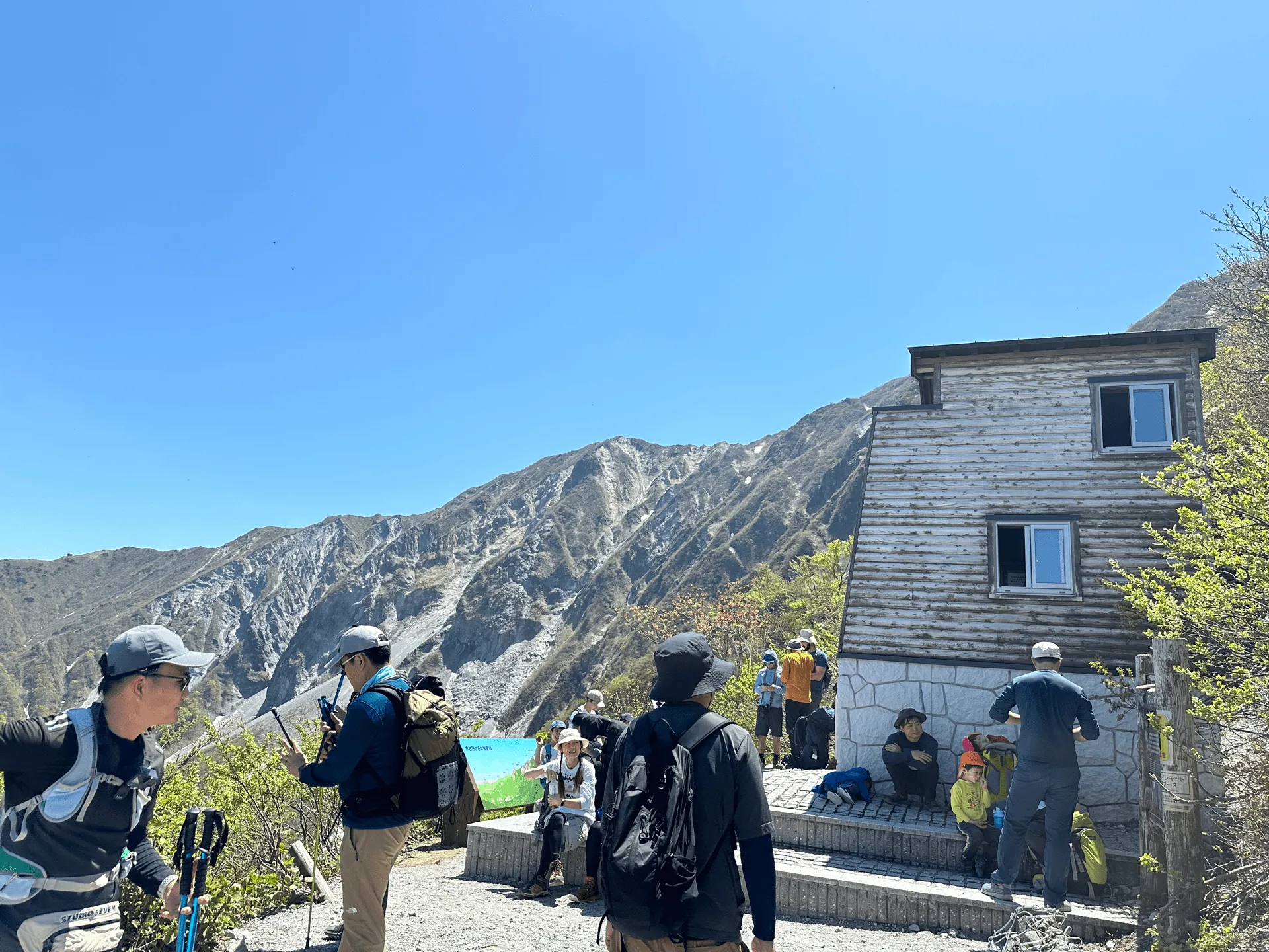
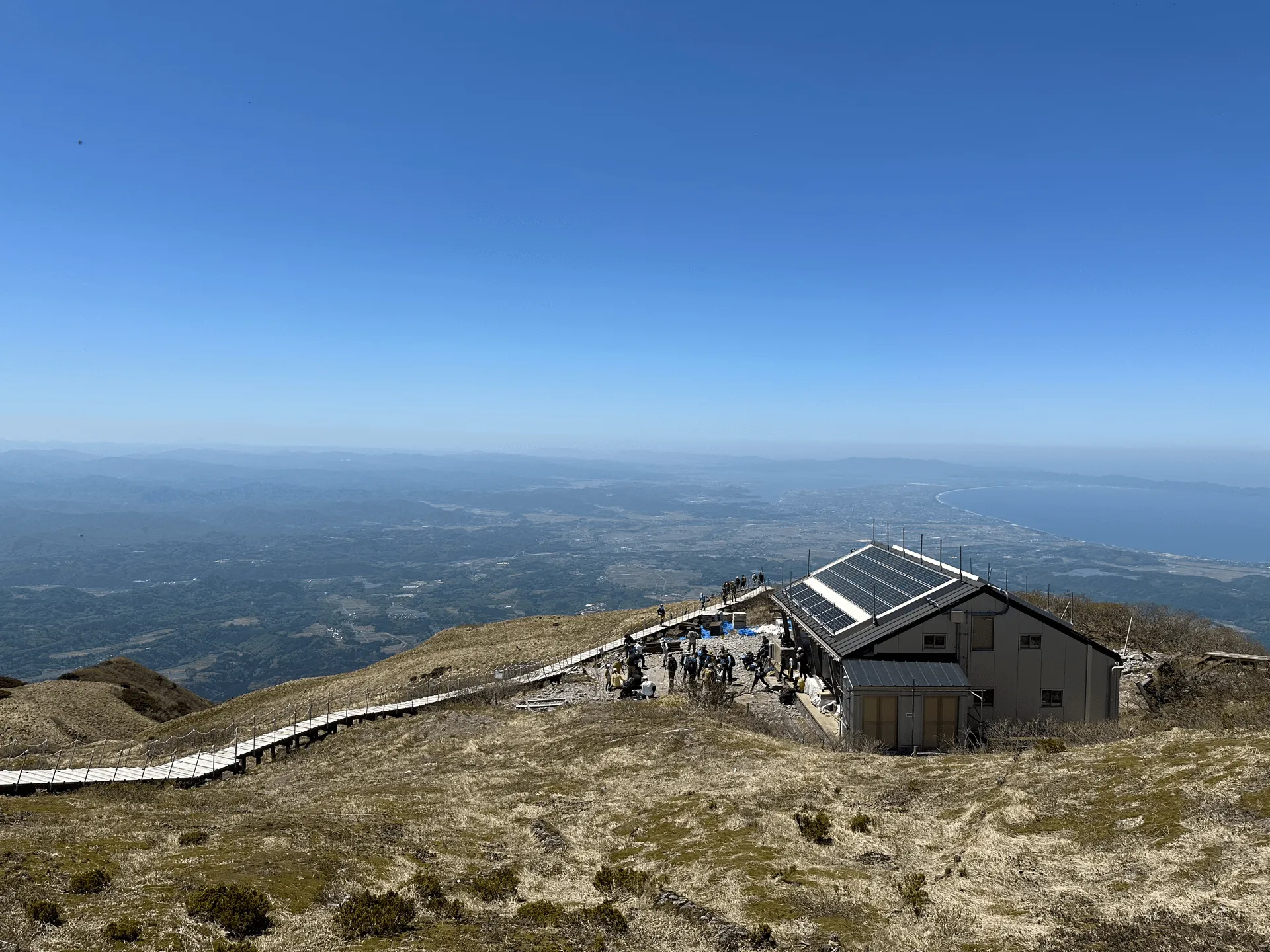
We arrived at the summit at around 12:30. There’s some seating near the peak, but it’s all under direct sunlight. There’s also a nearby mountain hut where you can buy food and drinks if required.
And then it was back down the way we came.
Once we descended past the rocky bit, we were back on the loop section of the course. The remainder was almost entirely stairs, and super easy to walk down.
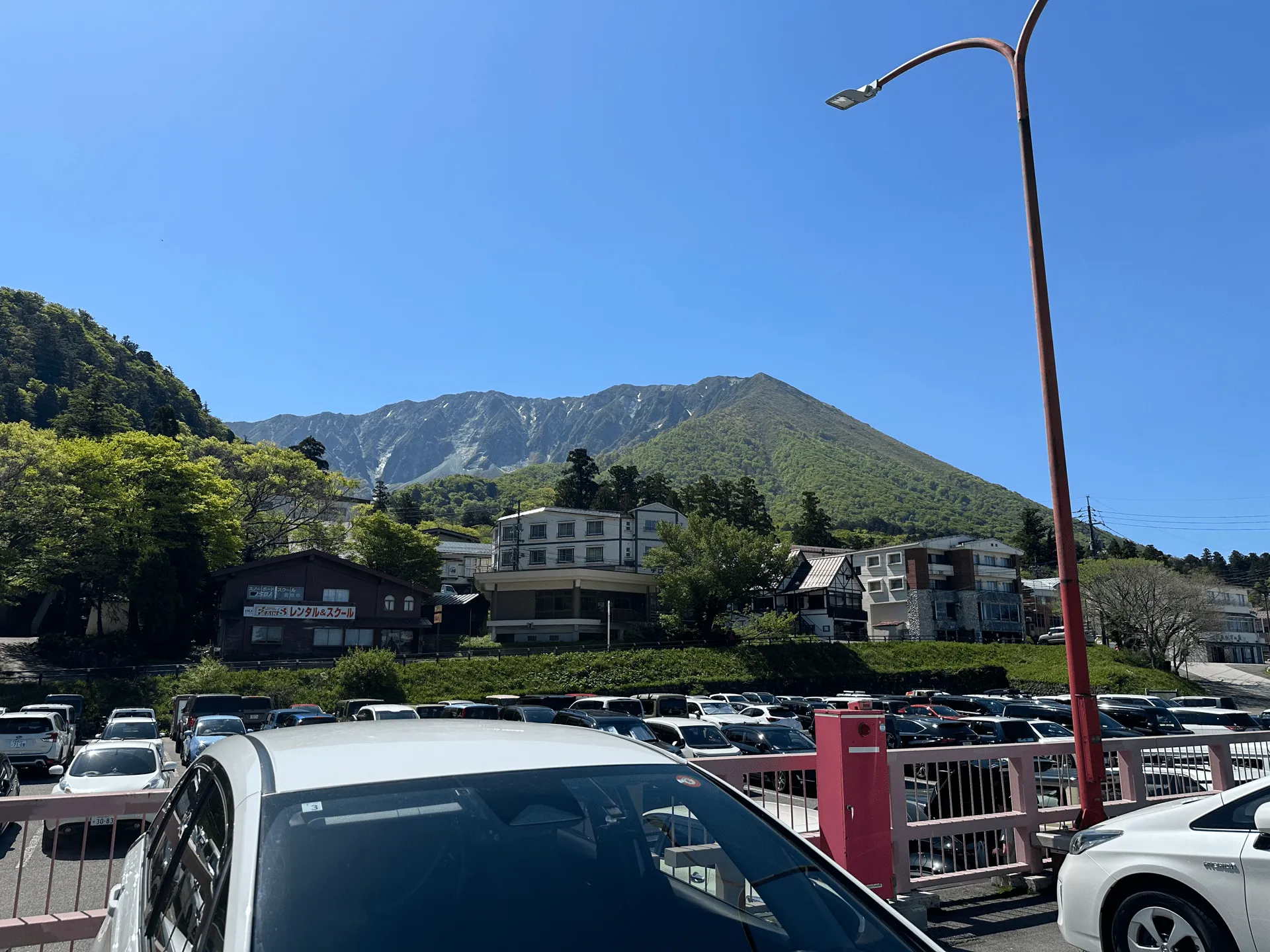
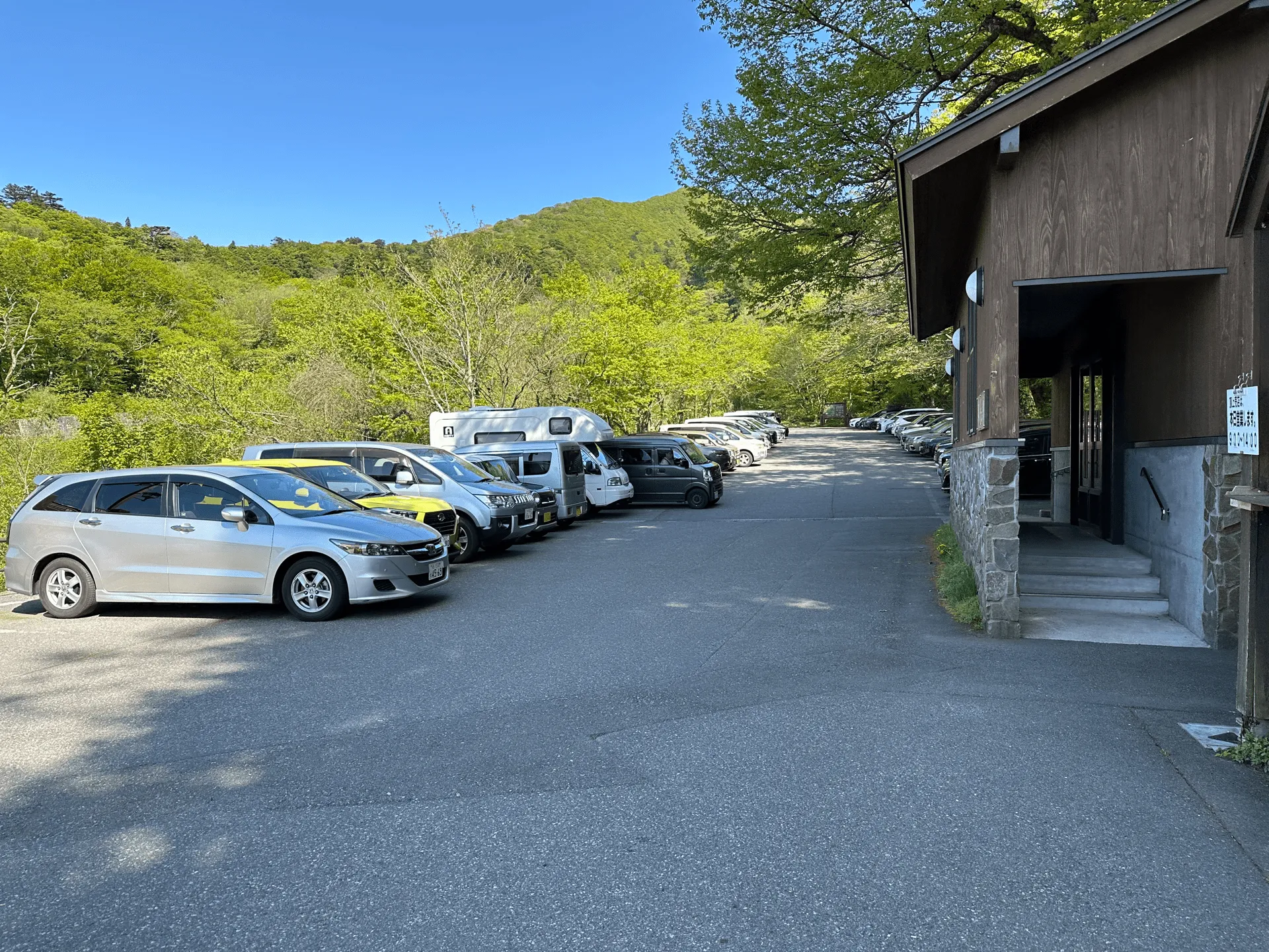
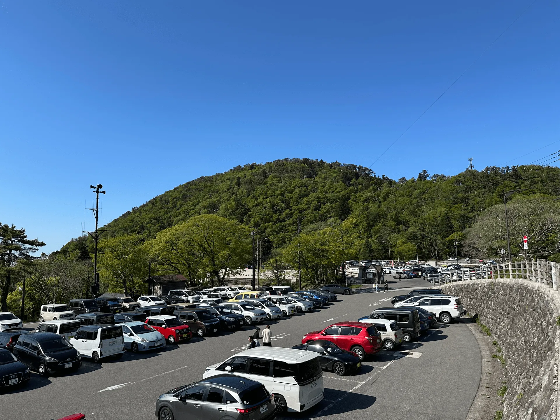
As we finished the course we passed the carpark at the trailhead. If you managed to get here really early in the morning you can probably snag a spot, but we had to park at the larger carpark which was probably 5 - 10 minutes away.
There are a lot of small rocks scattered near the summit, and if you do start at this carpark it looks like you can volunteer to take some up to the summit with you! I would have loved to do this so it’s a pity I didn’t know about it.
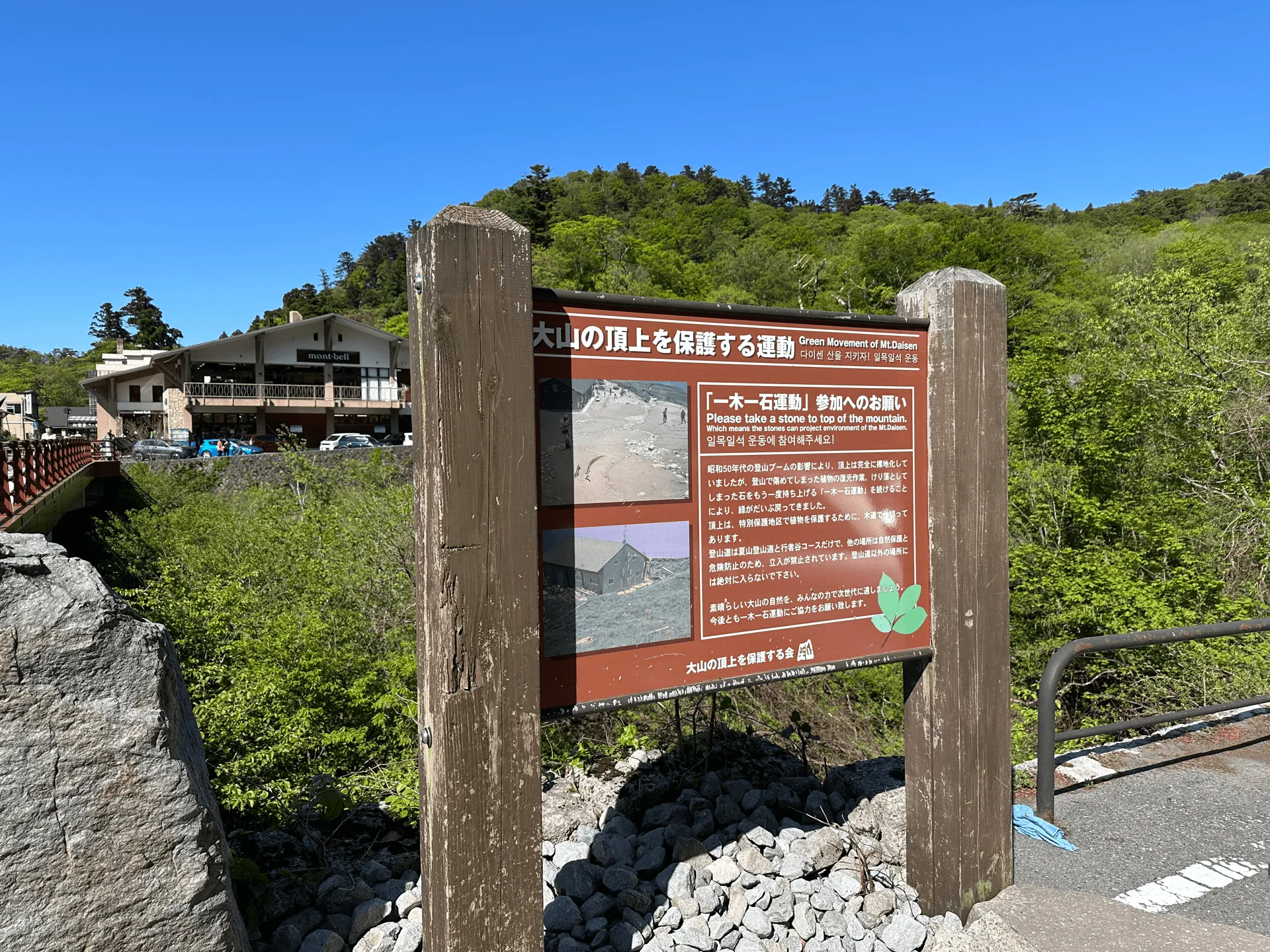
It looks like it’s an effort to help return the rocks to the summit, which get displaced by the hikers inadvertently kicking them down.
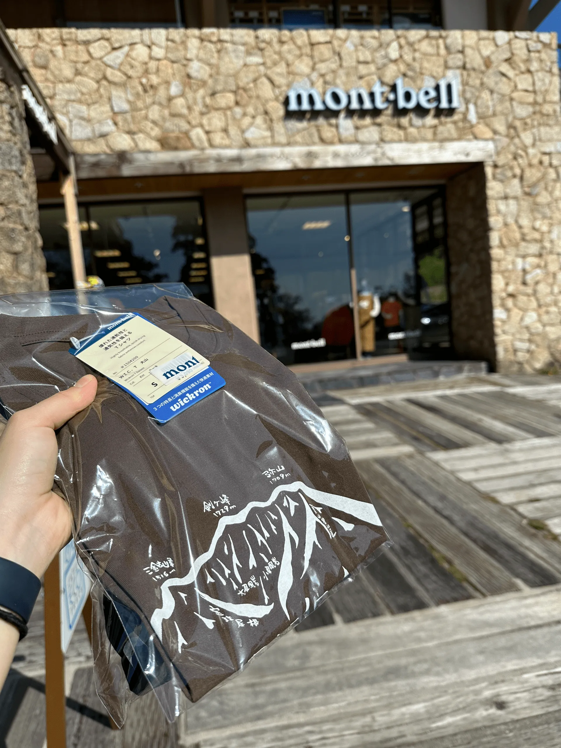
Before heading home though, I had to make a pilgrimage to the nearby Mont Bell. It’s actually the only store for both the Tottori and Shimane prefectures, and they sell limited edition Daisen shirts.
And then finally it was back to the carpark we started at. I often worry about whether there is a parking available at trailheads (especially if you arrive late), but since Mt Daisen is also a ski resort in winter, there is plenty of free parking, even during peak hiking season.
Hiking course details
| Date climbed | Length | Course time |
|---|---|---|
| 2024-05-03 | 6.7km | 5h20min (the expected time for an average hiker without breaks) |
This is a fairly straightforward loop course starting and ending at the natsuyama trailhead (夏山登山口) for Mt Daisen. There are toilets available at the carpark and at the summit.
Public transport access with example schedule
| Time | Location | Transport | Cost | |
|---|---|---|---|---|
| 07:20 | 米子駅 | Local bus | 730 | |
| 08:22 | 大山寺 |
If you’re coming from Tokyo, you can take a plane to Yonago airport, and then a limousine bus to Yonago station. I’d expect you’d need to spend the night somewhere, but from the station there are local buses that can take you to the trailhead.
The first bus from Yonago station to the Daisenji Temple arrives at 08:22, and the earliest bus back in the afternoon is at 15:11. This gives you just under 7 hours to do the hike, which is plenty of time.
| Time | Location | Transport | Cost | |
|---|---|---|---|---|
| 15:11 | 大山寺 | Local bus | 730 | |
| 16:12 | 米子駅 | |||
| Trip total: | 1460 |
Car access details
The name of the carpark closest to the trailhead is 南光河原駐車場, but if this is full there is also the 大山博労座駐車場 still within walking distance. This has a capacity for 600 cars so you shouldn’t have any trouble getting a spot. The carpark is only a 30 to 40min drive from the airport and/or train station.
Comments
Leave a comment