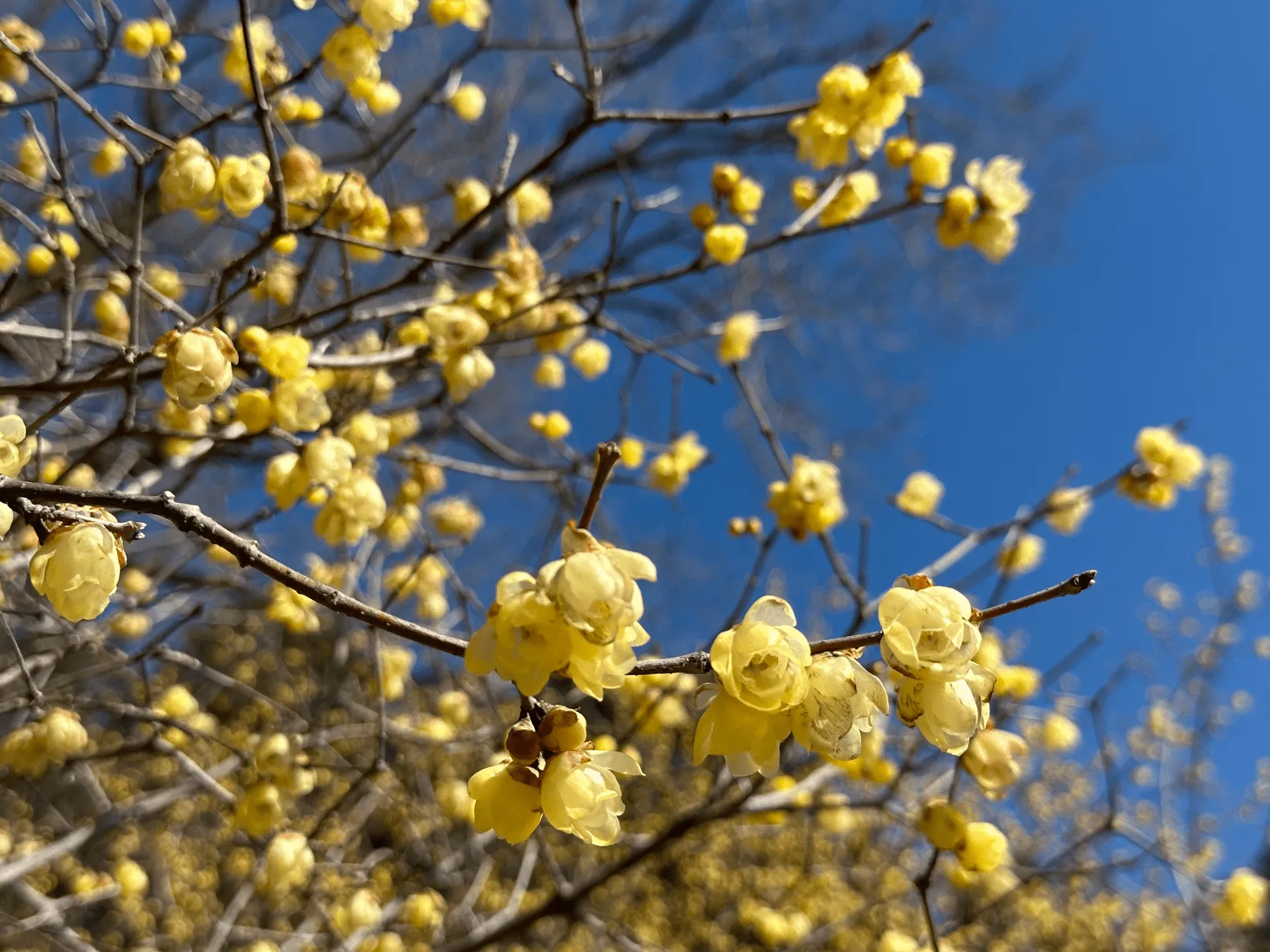
Mt Hodo (宝登山, Hodo-san) is a low-lying mountain in Saitama prefecture. It’s most famous for its yellow wintersweet flowers (ロウバイ) which bloom towards the end of winter each year. The route we took is also known as the Nagatoro Alps (長瀞アルプス), and it’s a very beginner-friendly and accessible course which will take you just under 4 hours to complete.

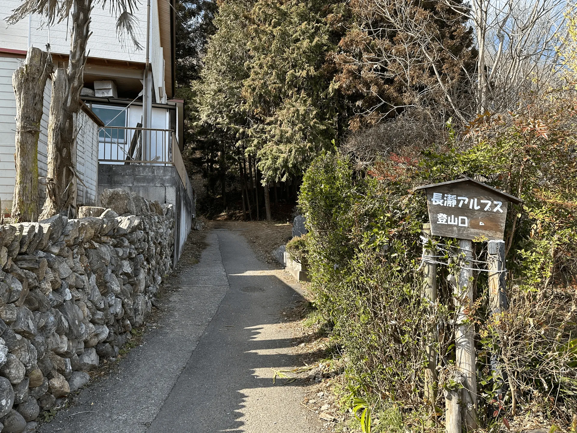
The trail up to Mt Hodo is very easily walkable and not too steep, except for a final set of stairs near the summit.
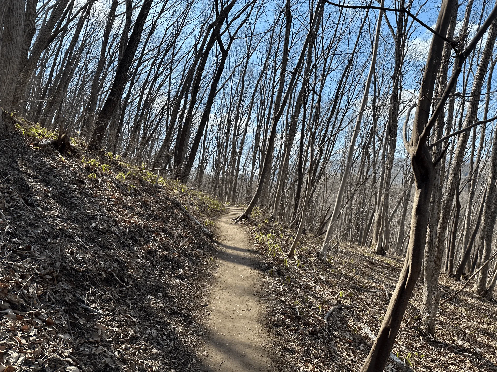
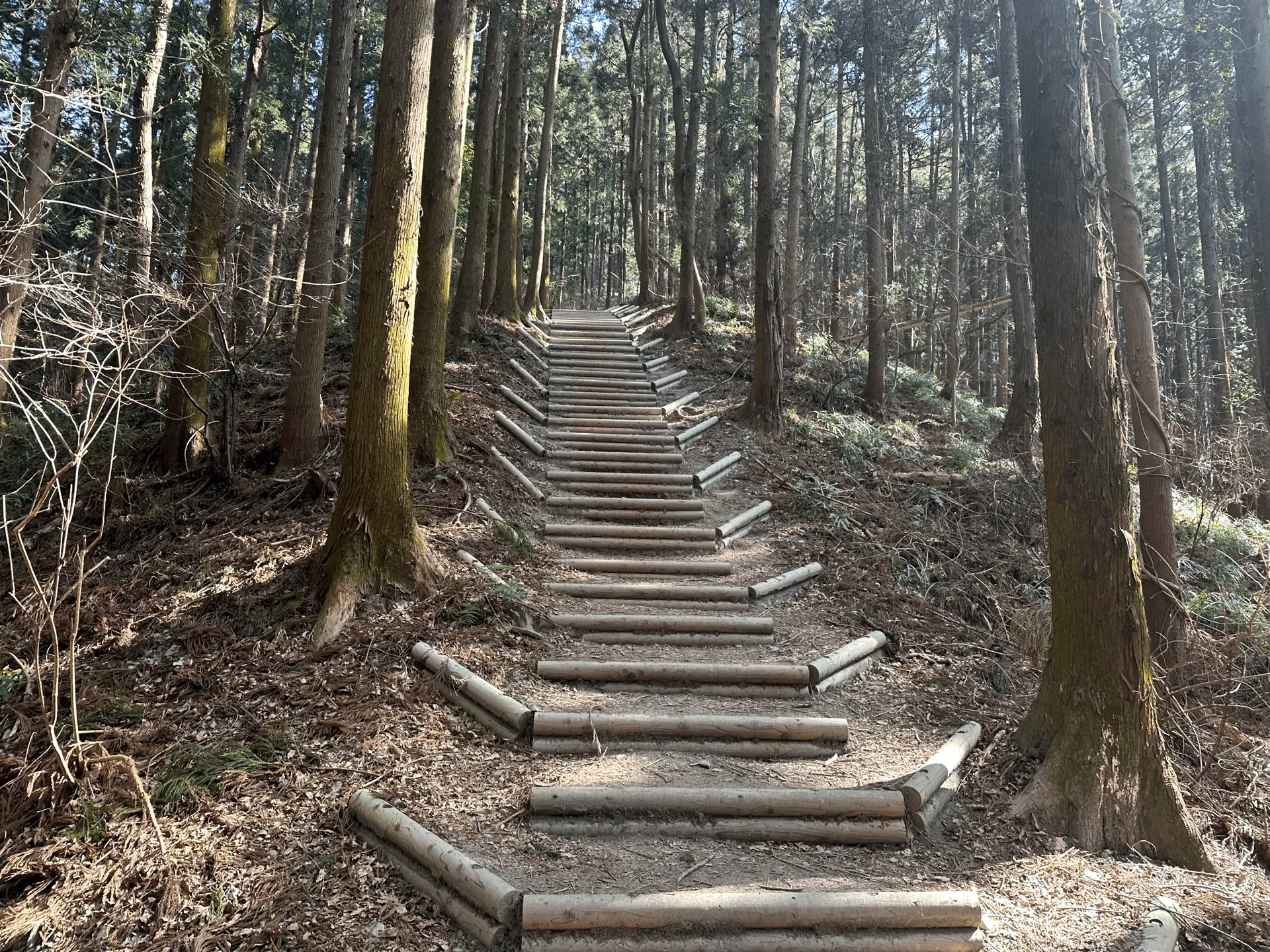
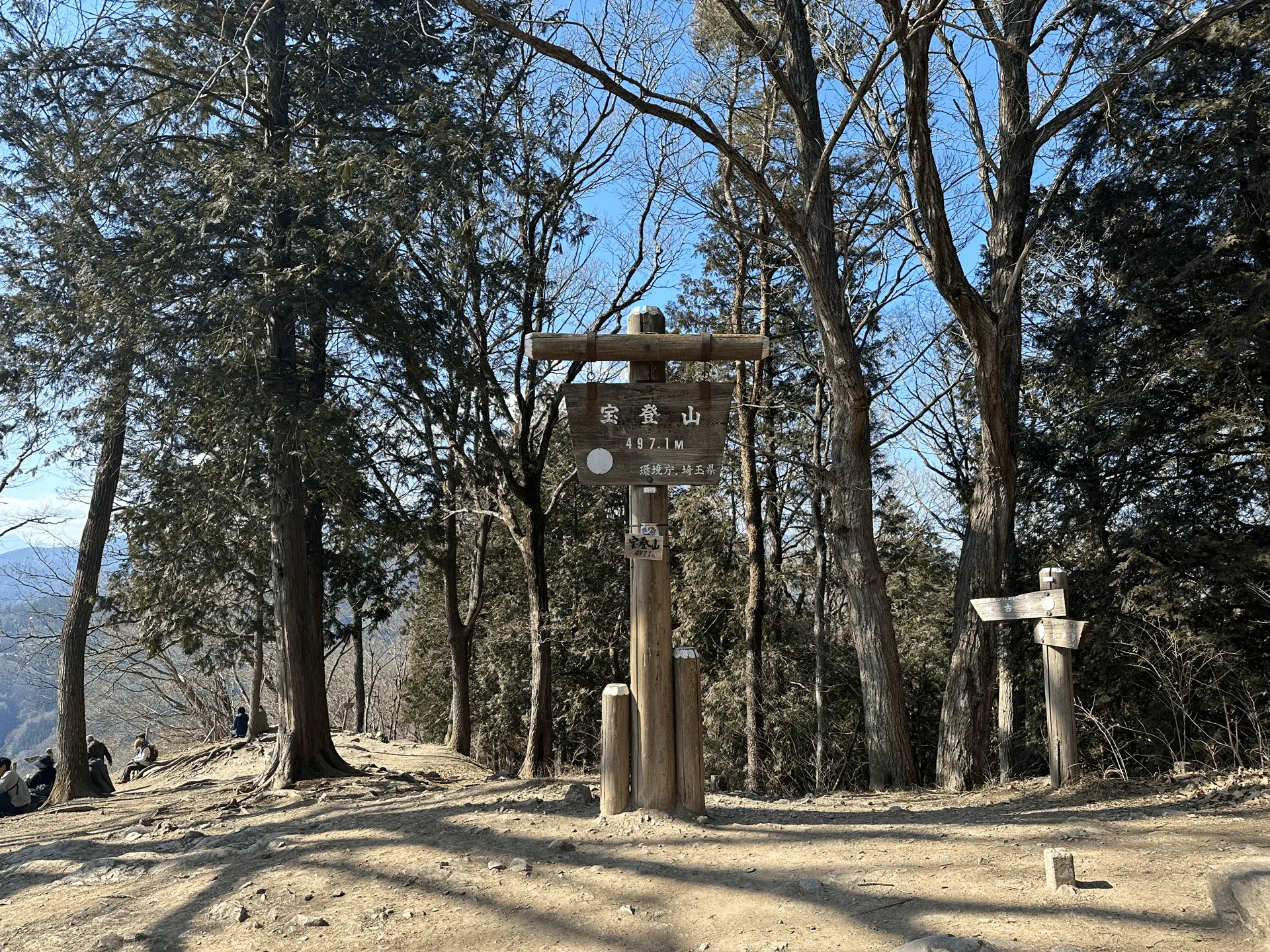
The summit was pretty busy, as it’s also accessible via a ropeway. It was a clear winter’s day so everyone was taking in the warm sun and enjoying the views across to Saitama’s other mountain ranges.
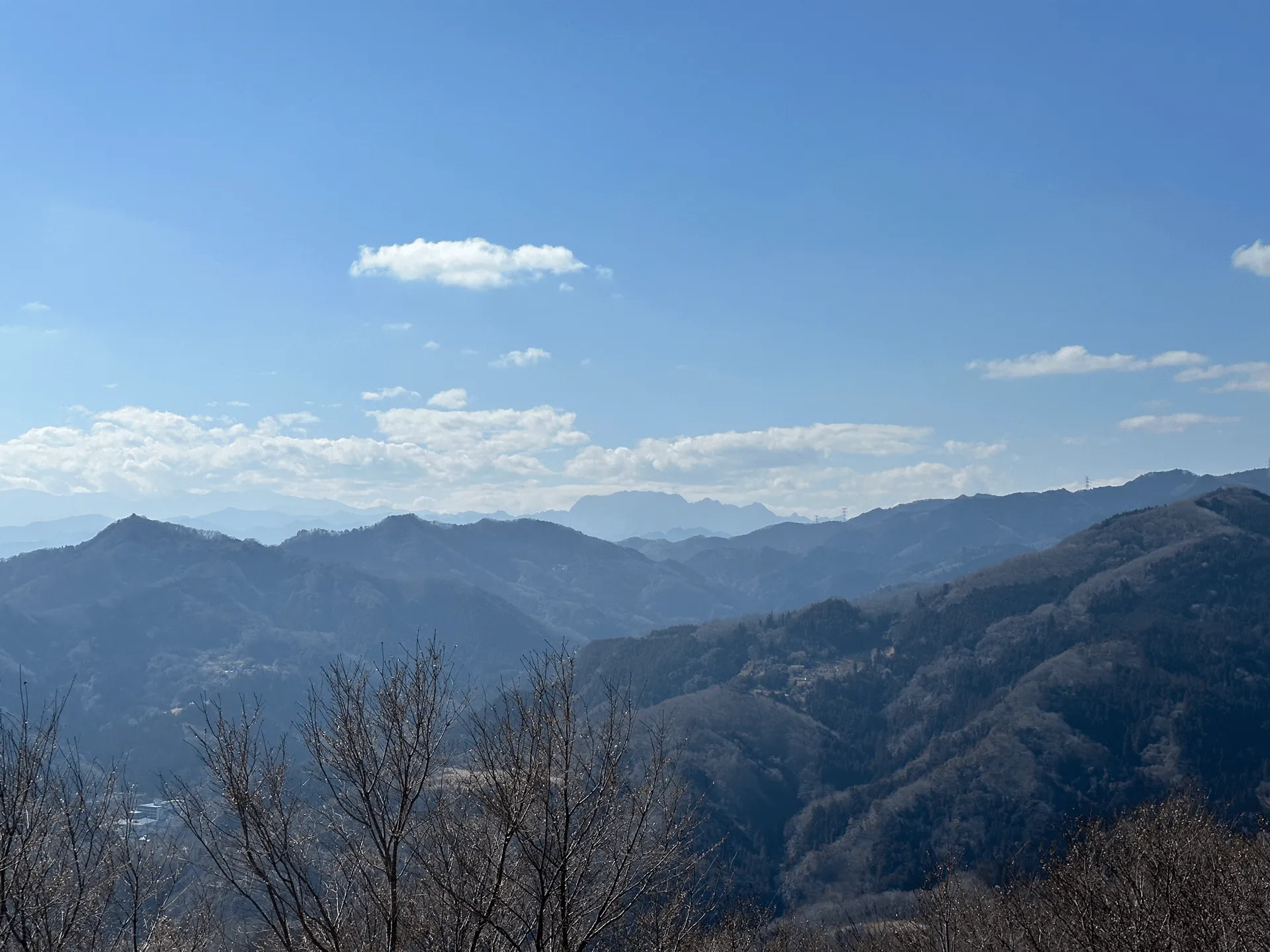
In the distance we spotted Saitama’s 100 Famous Mountain, Mt Ryokami, which has a very distinctive-looking shape.
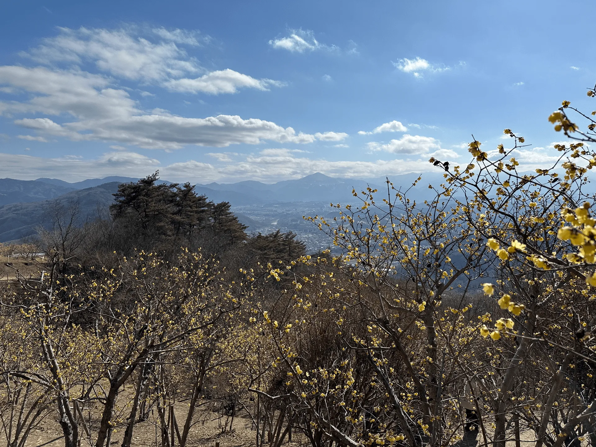
You can also see Saitama’s other iconic peak, Mt Buko, which I tried my best to get a photo of with the wintersweet flowers in frame as well.
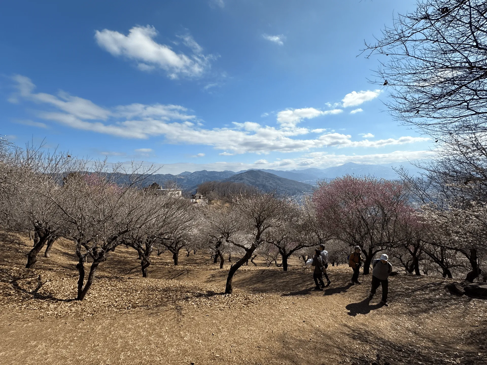
Close to the summit is a large garden, with both wintersweet trees as well as many plum blossom trees.

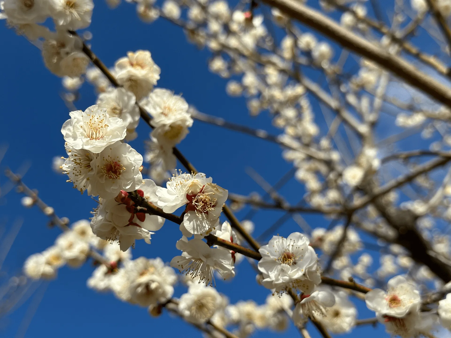
Close to the ropeway station there were also some food stalls, including a very intriguing miso-flavoured ice cream which I decided to pass up on given the cold weather (alas…)
The trail back down to Nagatoro station was nothing notable, as it’s basically a road all the way down. I think this mountain is definitely one that’s worth visiting while the flowers are blooming.

Nagatoro station seemed to be a popular tourist destination in its own right, with a lot of stores and restaurants. So if possible it’s a good idea to finish your hike here, since there’s a lot of options if you want to grab dinner or kill some time after your hike.
There was one store that had a funny dioarama going on in the shop window as well.


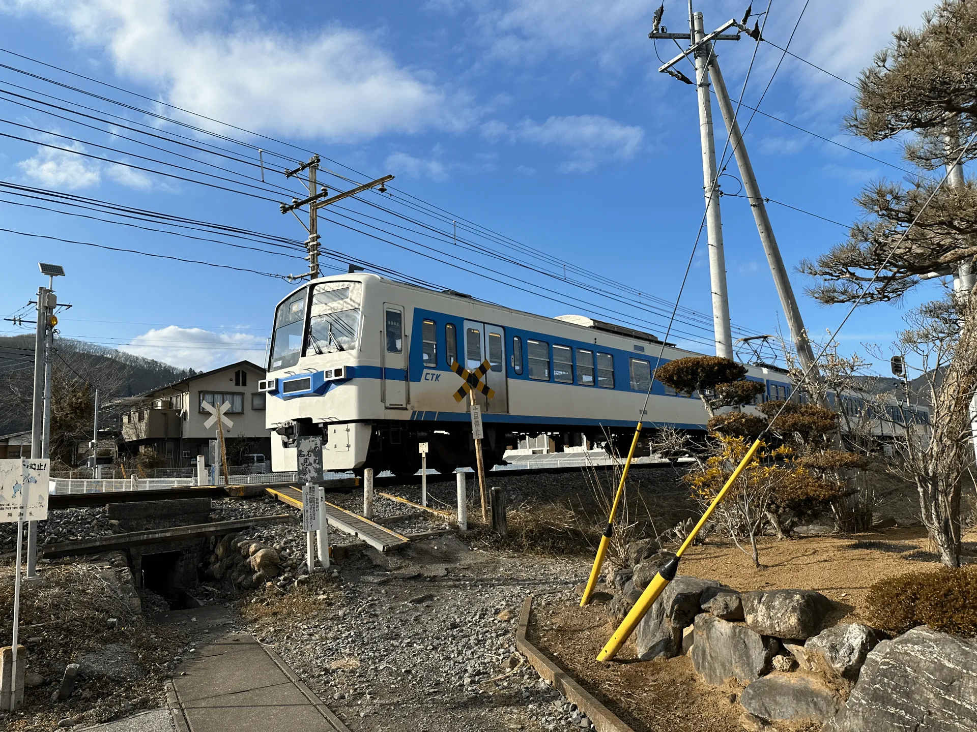
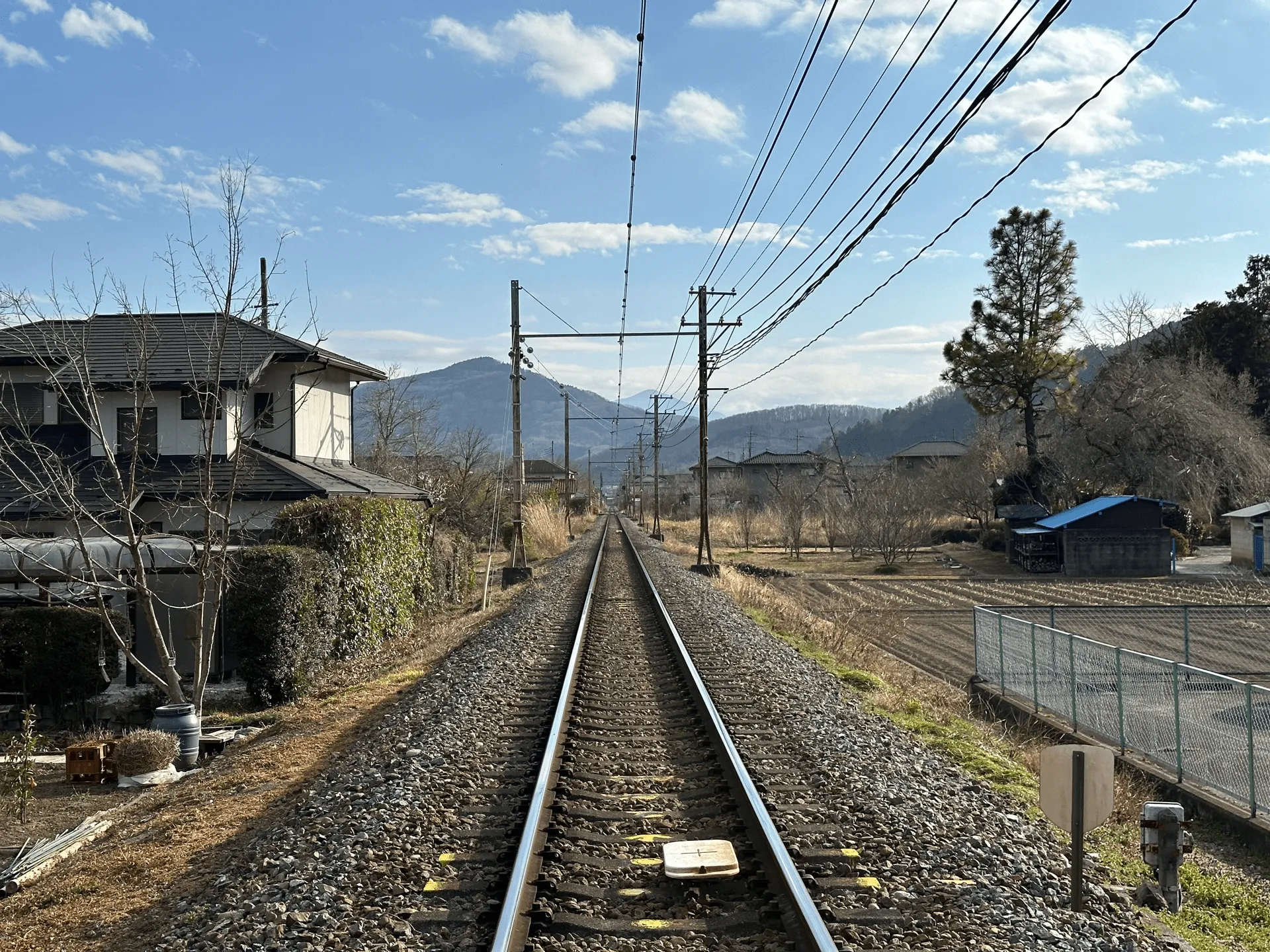
Since we came by car, we walked from Nagatoro station back to the start of the trail at Nogami station. At one point you get to cross a train track, which was kind of exciting since aside from the warning bells, there’s no barriers at all.
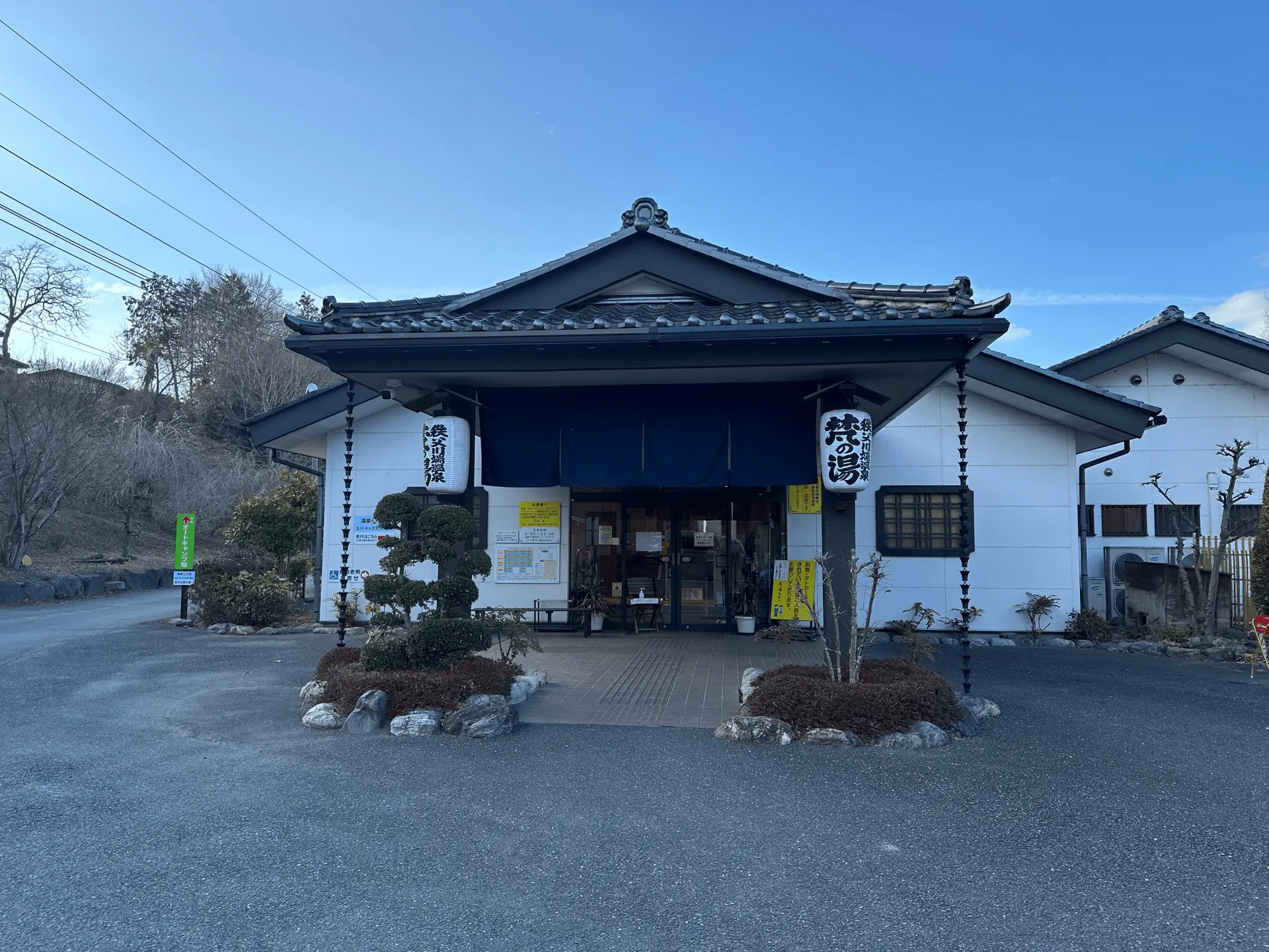
Finally it was back to the carpark, and then onto our final destination, an onsen. There weren’t any onsens super close to the trail, so this one was a little out of the way, but it was well worth it!
It’s right alongside the Arakawa river, so you get nice view of the river as you relax in the rotenburo (open-air hot spring) outside.
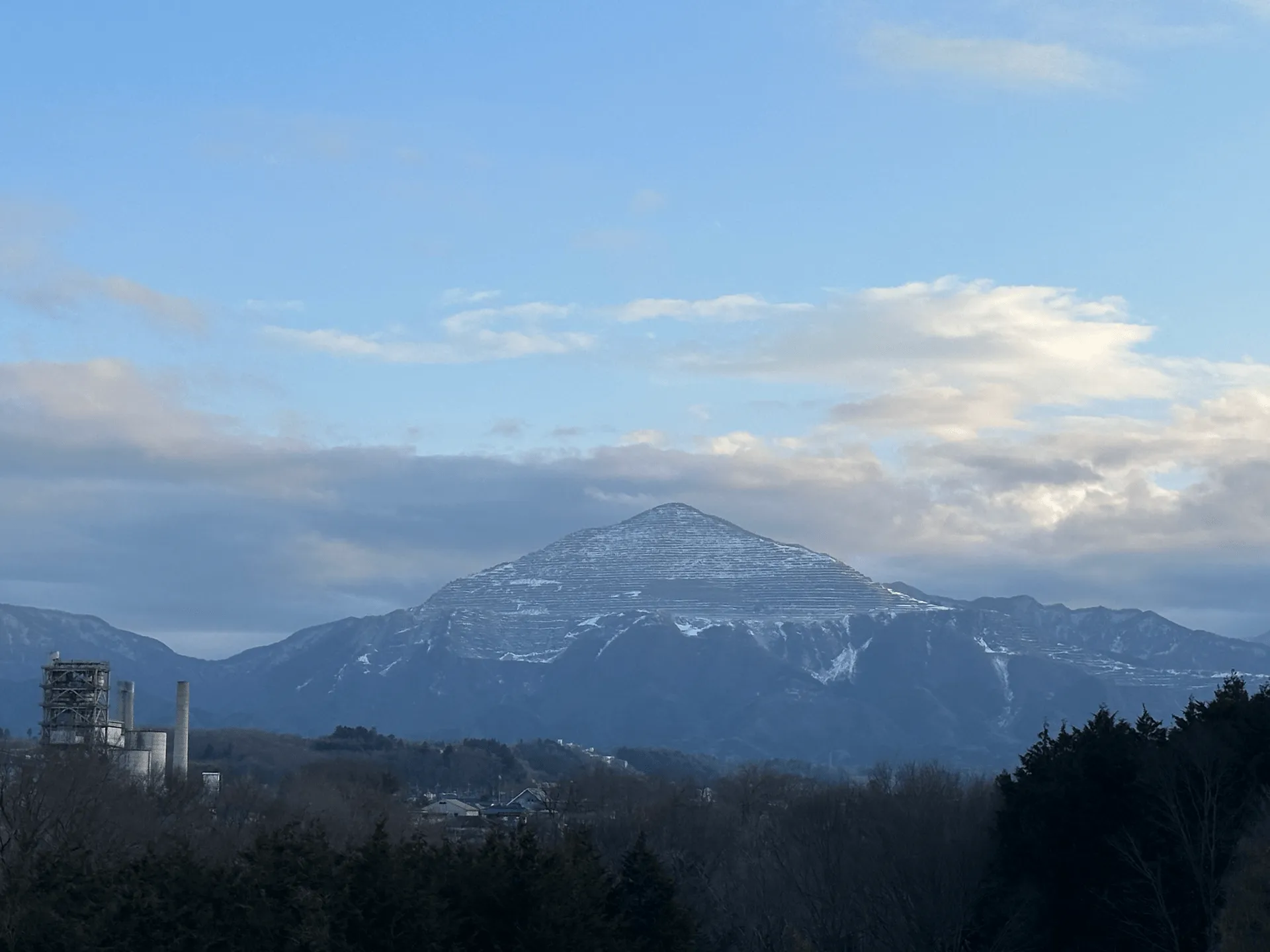
On our drive home, we also got a clear look at Mt Buko, which due to some recent cold weather was strikingly covered in snow.
Hiking course details
| Date climbed | Length | Course time |
|---|---|---|
| 2024-02-17 | 8.3km | 3h47m (the expected time for an average hiker without breaks) |
This course can be made easier by taking the ropeway on the way up or down.
There are toilets available at the summit.
Public transport access with example schedule
| Time | Location | Transport | Cost | |
|---|---|---|---|---|
| 06:20 | Tokyo (東京) | Train | 1906 | |
| 08:33 | Nogami (野上のがみ) |
Since it’s a fairly short course, I think you don’t have to worry too much about the train timings, making it a very accessible hike.
| Time | Location | Transport | Cost | |
|---|---|---|---|---|
| 14:54 | Nagatoro (長瀞) | Train | 1946 | |
| 17:06 | Tokyo (東京) | |||
| Trip total: | 3852 |
Car access details
| Car park | Time (from Tokyo) | Round trip cost |
|---|---|---|
| 長瀞町役場庁舎前 駐車場 (ながとろまちやくしょちょうしゃまえ ちゅうしゃじょう) | 1h50m | ~1700 yen |
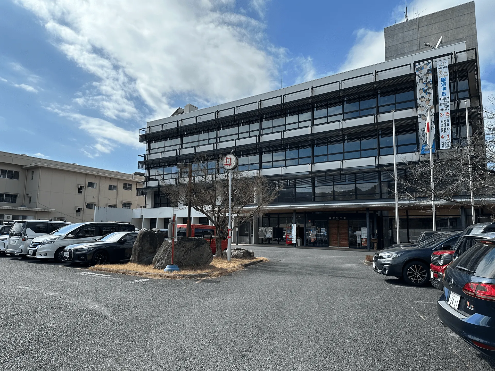
This carpark is outside the Nagatoro city hall, and the fee is 300yen, which you pay into a wooden box outside the building entrance. When we arrived (quite late) at around 11:30am, the carpark was full, but luckily we snagged a spot from a hiker that was already on his way out.
If this carpark is full, you can head towards Nagatoro station and there are a couple of other paid parking lots, as well a large one available near the base of the ropeway station.

Leave a comment