hikes
A guide to the best hikes in Kyushu
28 Jun
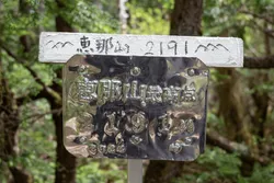
Mt Hotaka (武尊山, hotaka-yama) is a 2158m mountain located in Gunma prefecture. Unlike other 100 Famous Mountains, the most popular months to climb Mt Hotaka are actually in February and March. With ski lifts taking you up to near the summit, it’s most well-known as a beginner-friendly mountain for snow hiking.
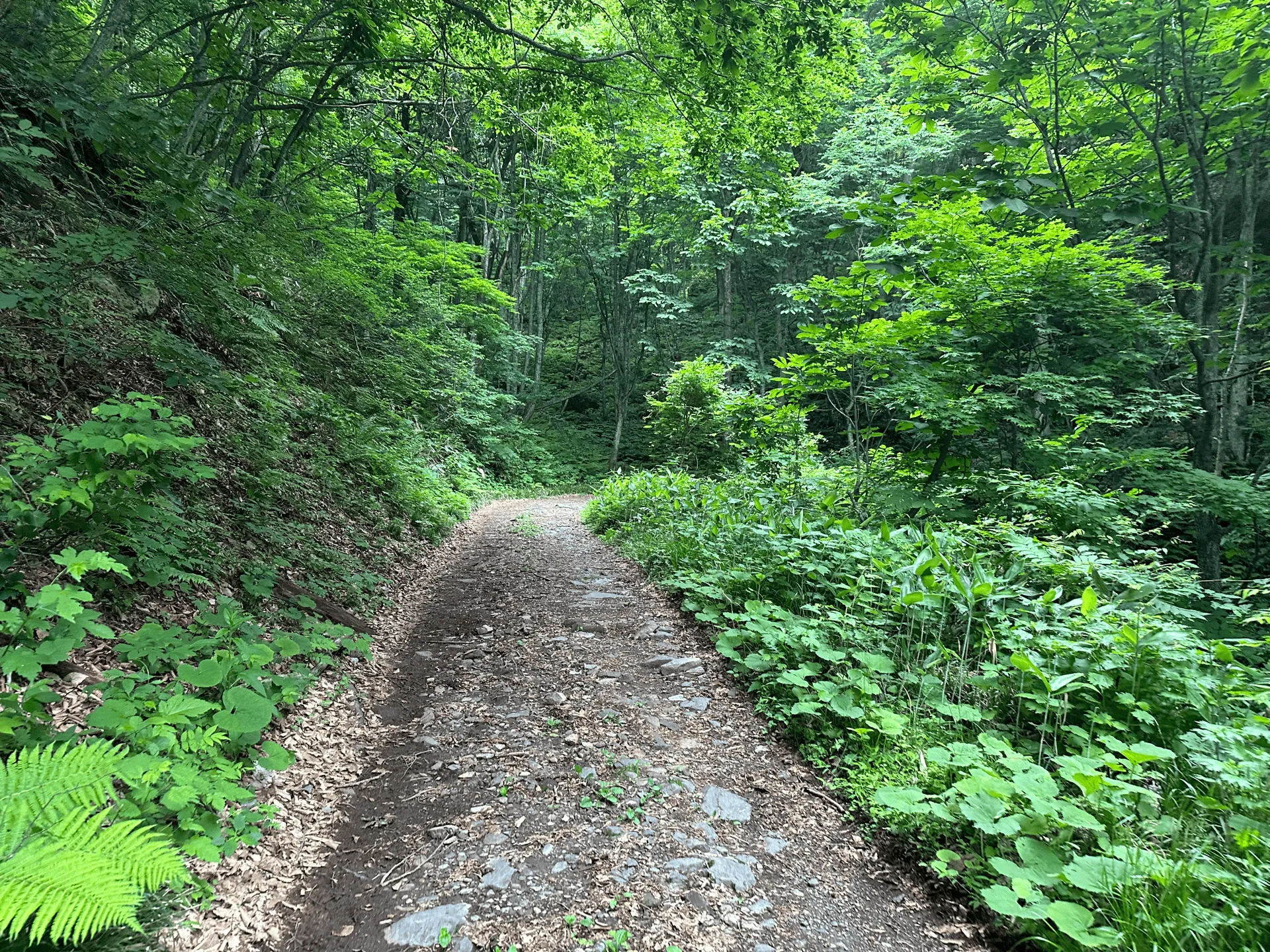
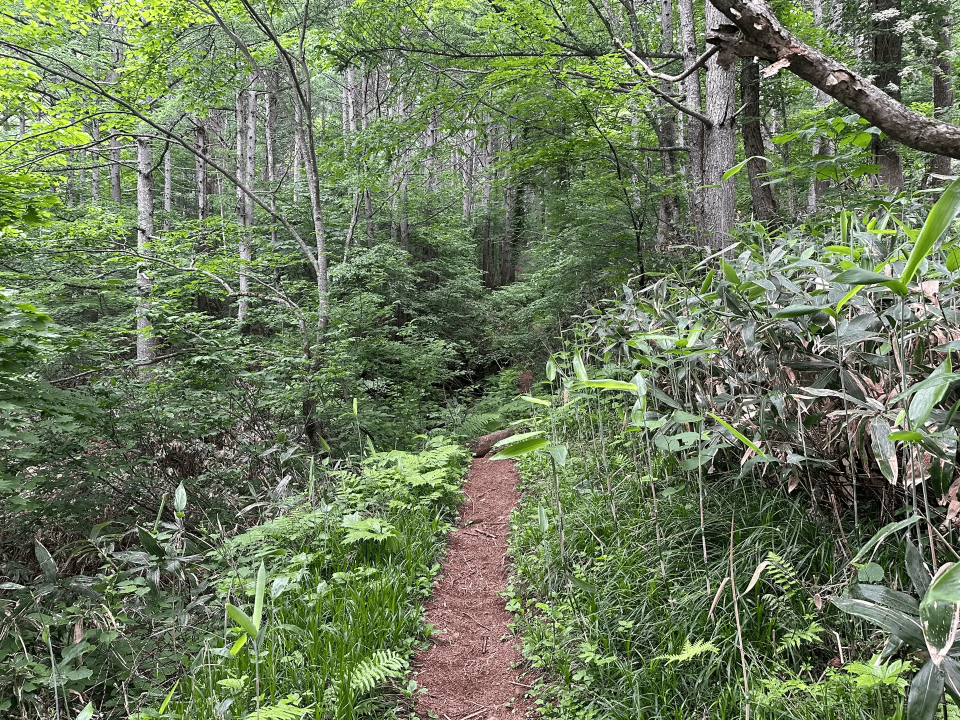
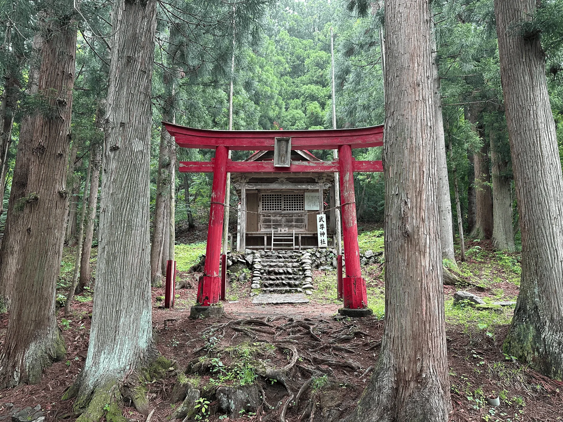
I climbed it in June, however, so I didn’t get to experience the beautiful snow, but instead took the longer trail starting at Hotaka Shrine (武尊神社). Following on from my rainy hike the week prior at Mt Kobushi, I was better prepared this time for potential rain and made sure to bring rain pants and a proper rain jacket.
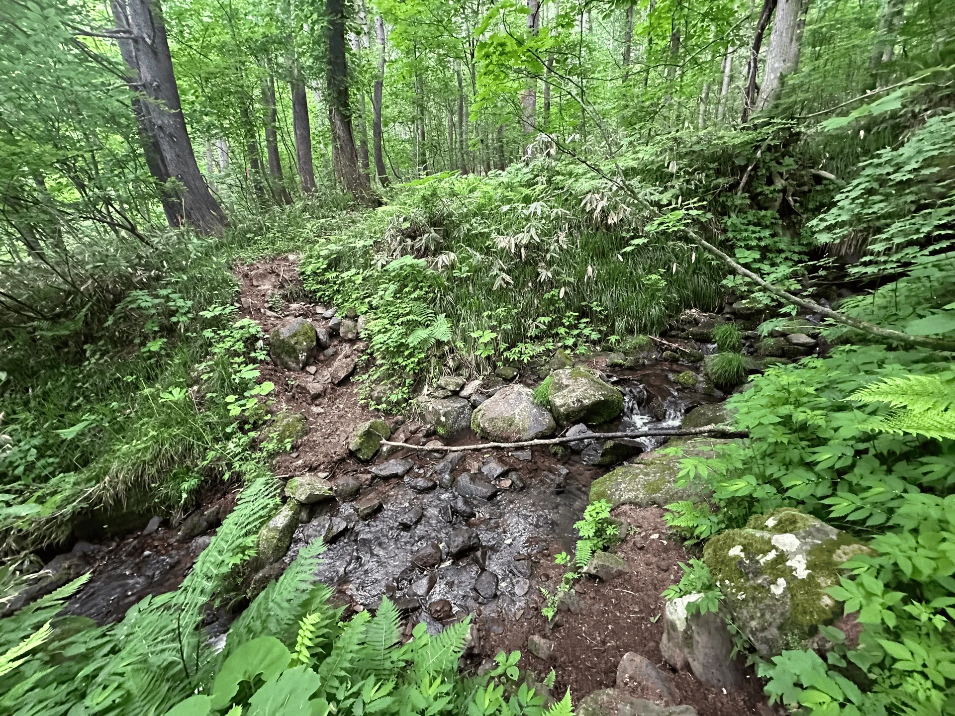
The weather was forecast to only begin raining in the afternoon, so I planned to finish early before it set in. However with the unpredictable rainy season, it did end up lightly raining for most of the hike.
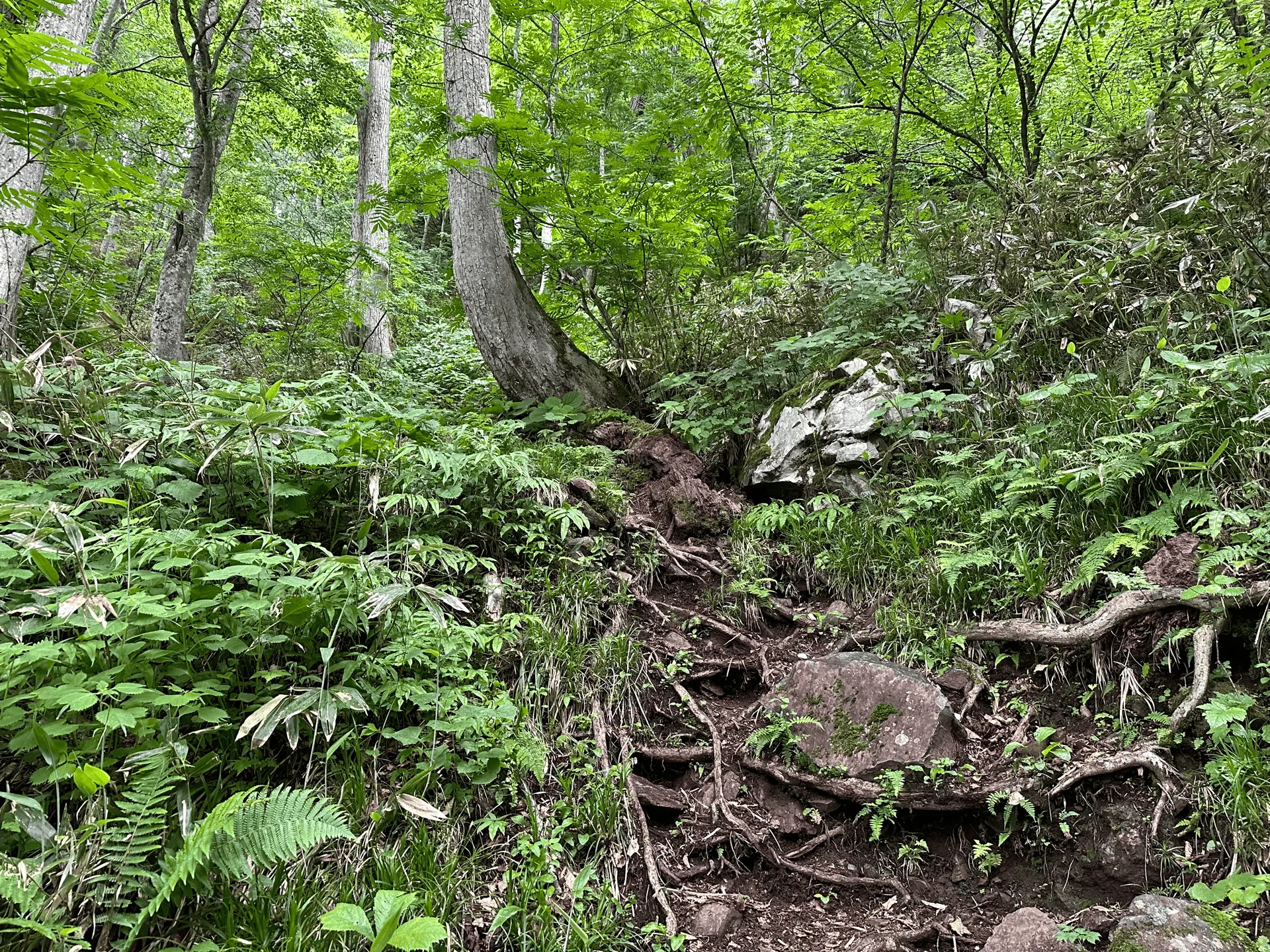
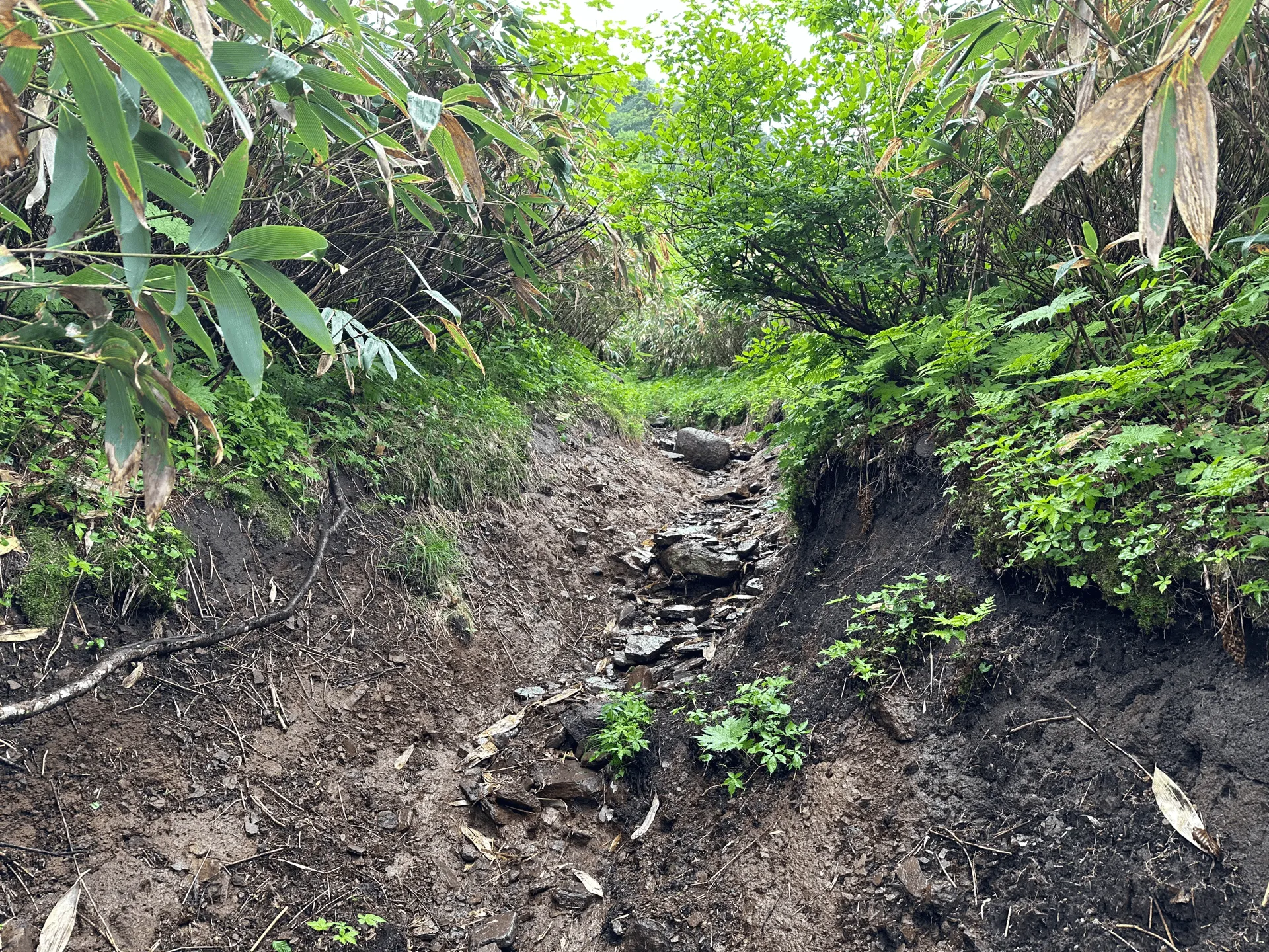
With an elevation gain on this trail of over 1150m over 11km, it did feel a little tough for me. My original plan was to do a longer loop course that takes you up to Mt Hotaka and then onwards to a second peak of Mt Kengamine (剣ヶ峰山, kengamine-yama) before descending back down.
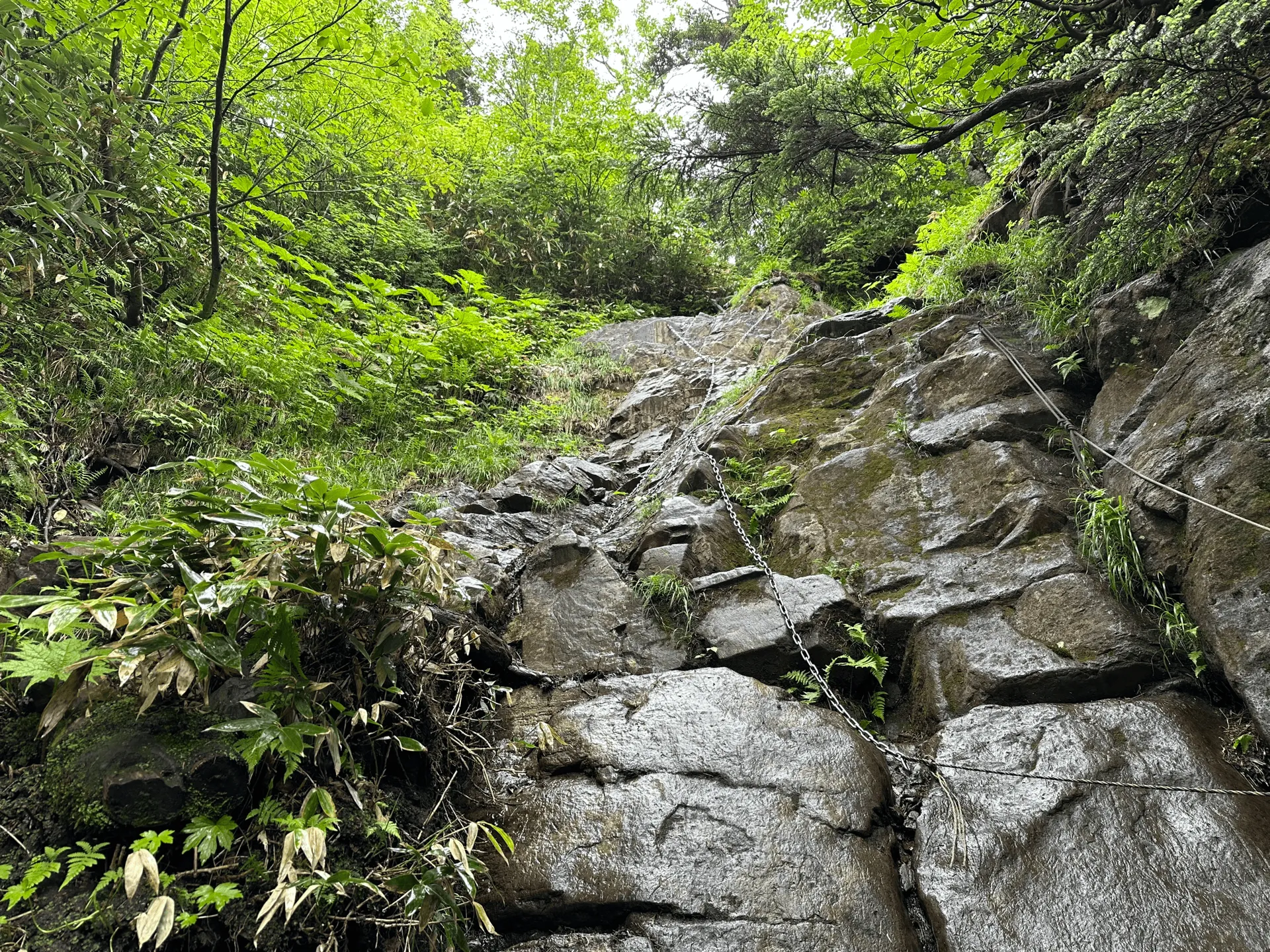
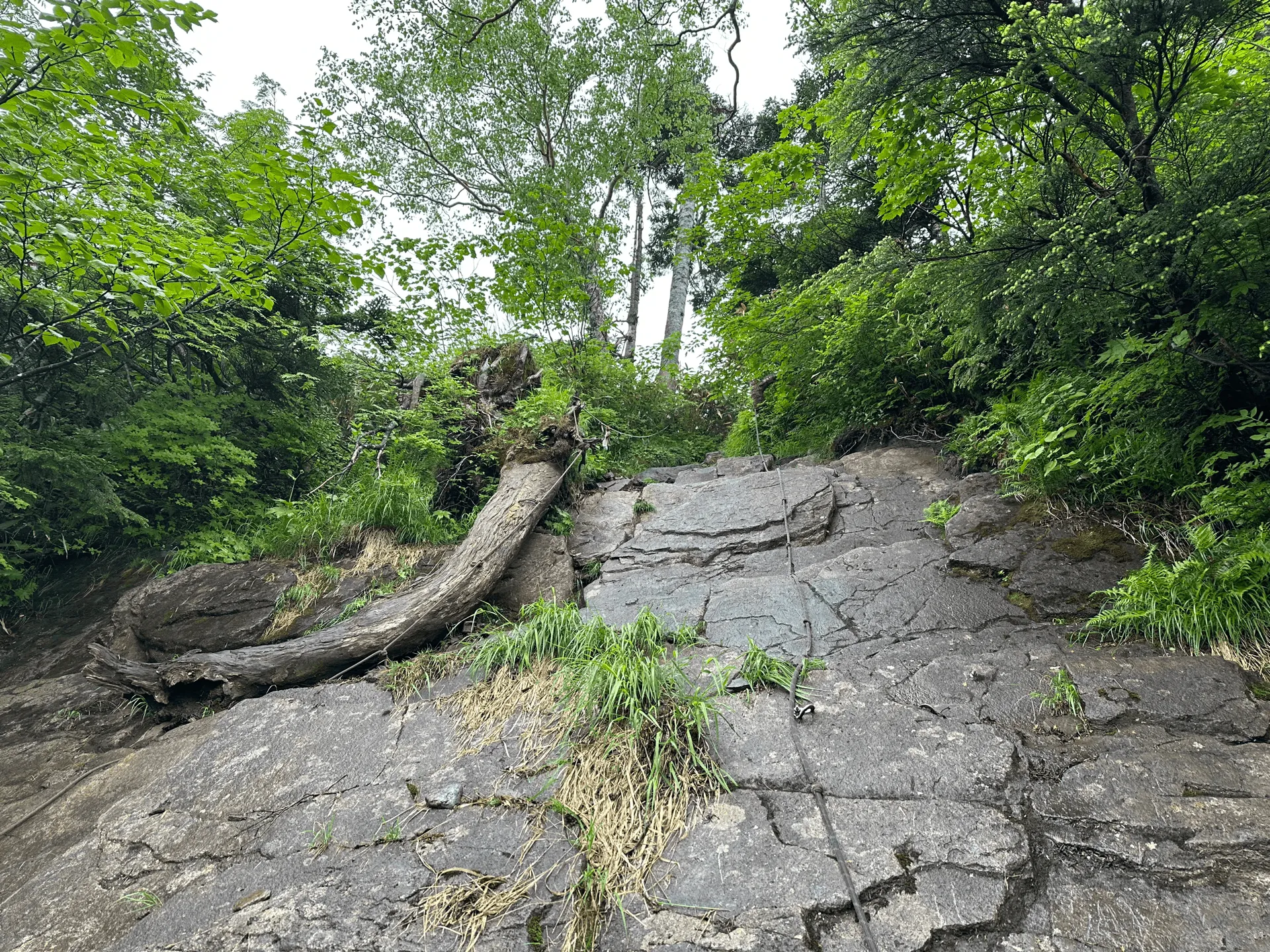
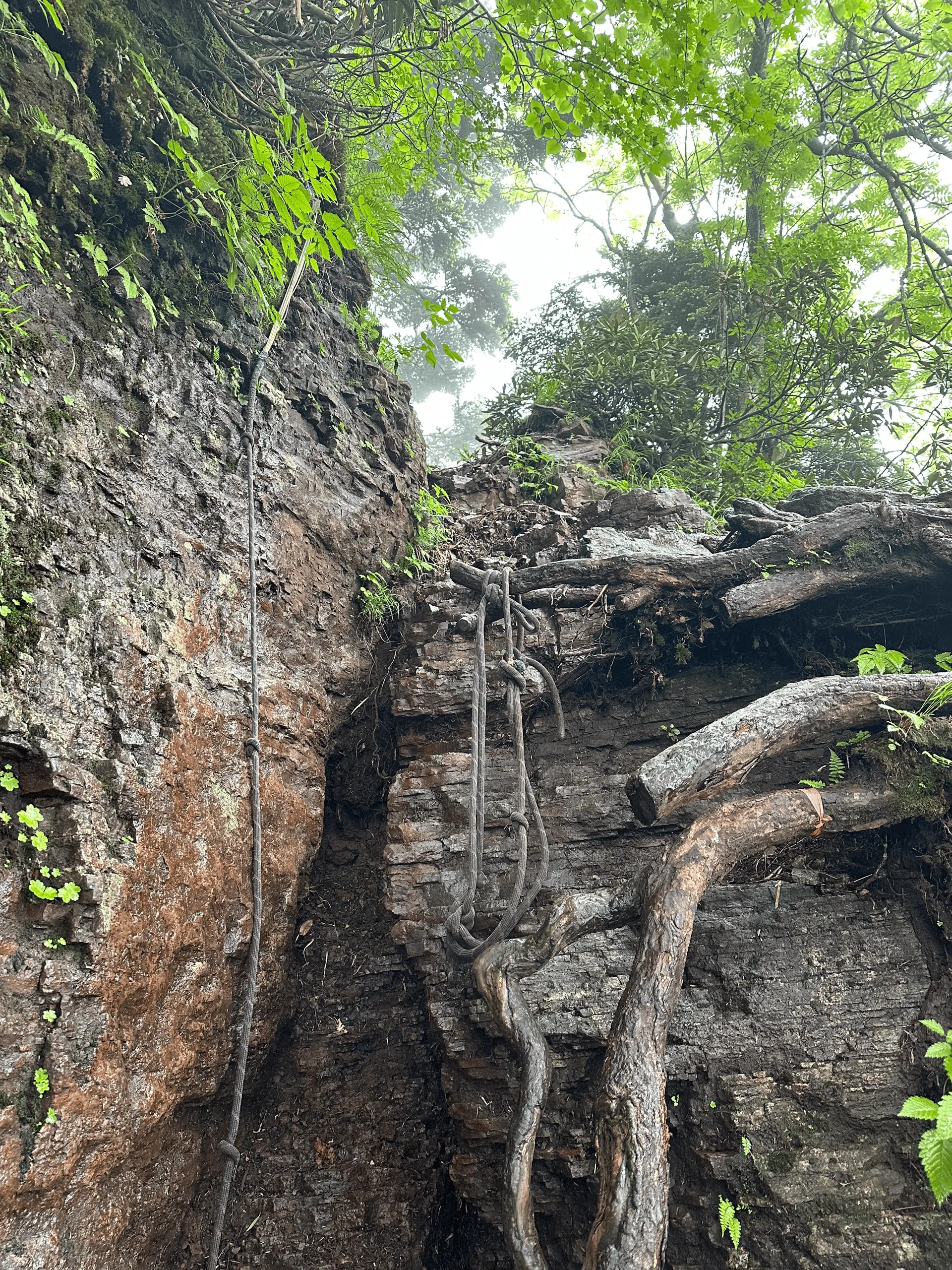
What makes the climb up interesting is that there is a series of steeper rock faces that you have to climb using chains or ropes, called 鎖場 (kusari-ba or “chain location”). Some people love these sort of challenges, other people not so much - personally, they always make me a little nervous!
As I was climbing slower than I expected, I did start feeling a bit anxious about what I should do, especially with the rain. According to my hiking app YAMAP, the loop course had a very, very steep descent which didn’t sound too fun (or safe in the rain). But the alternative was taking the same route back down, and going back down the rockfaces in reverse sounded really scary to me as well. I was really unsure of what choice to make.
However partway up the steep section, I passed by a group of old ladies who had all reached the peak and were already on their way back down. This honestly lifted my spirits a lot - if they can do it, then I can too! And I made up my mind to go back down the same way.
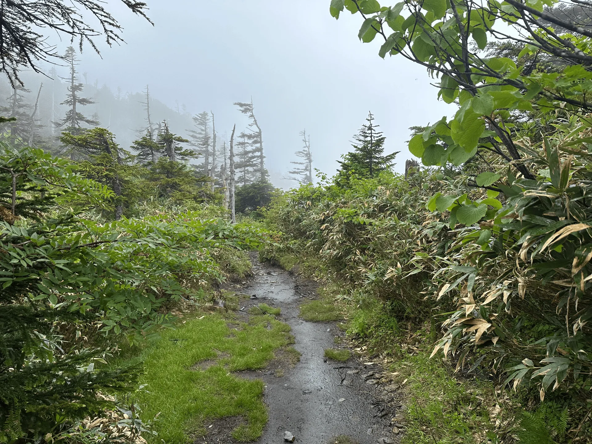
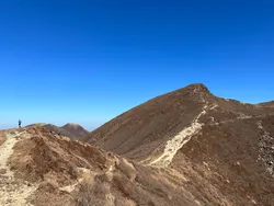
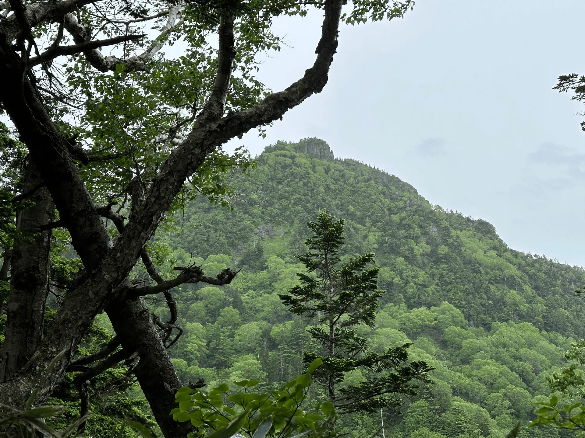
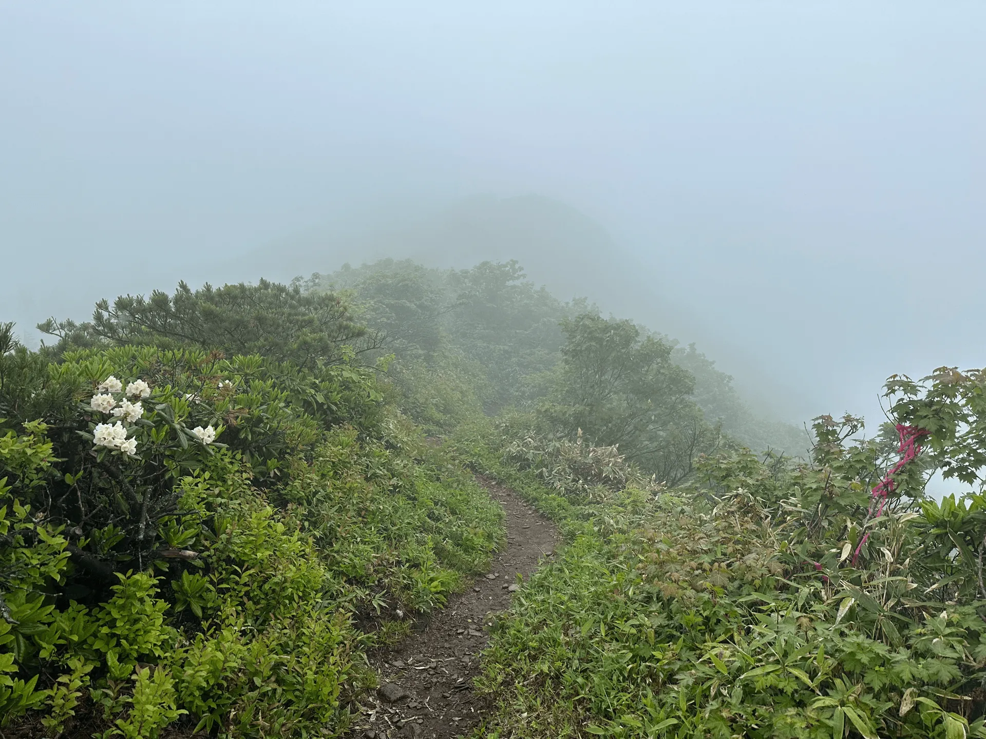
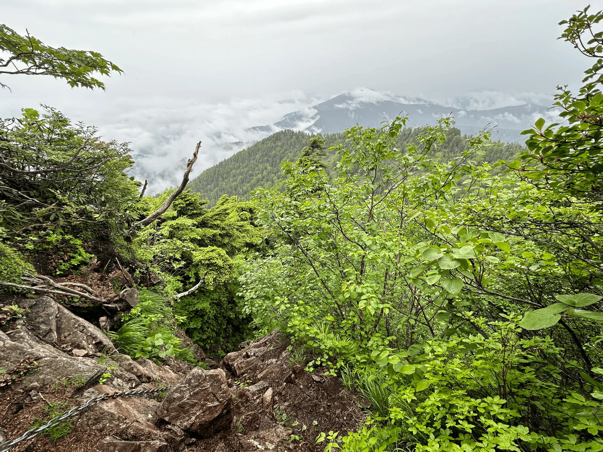
Once you make it past the steep climbs, there’s an exposed ridgeline you get to walk along to reach Mt Hotaka. Unfortunately, with the weather, there wasn’t any visibility. If you were to take the loop course to the next peak of Mt Kengamine, I think it is also along a ridgeline so I’m sure you can get great views.
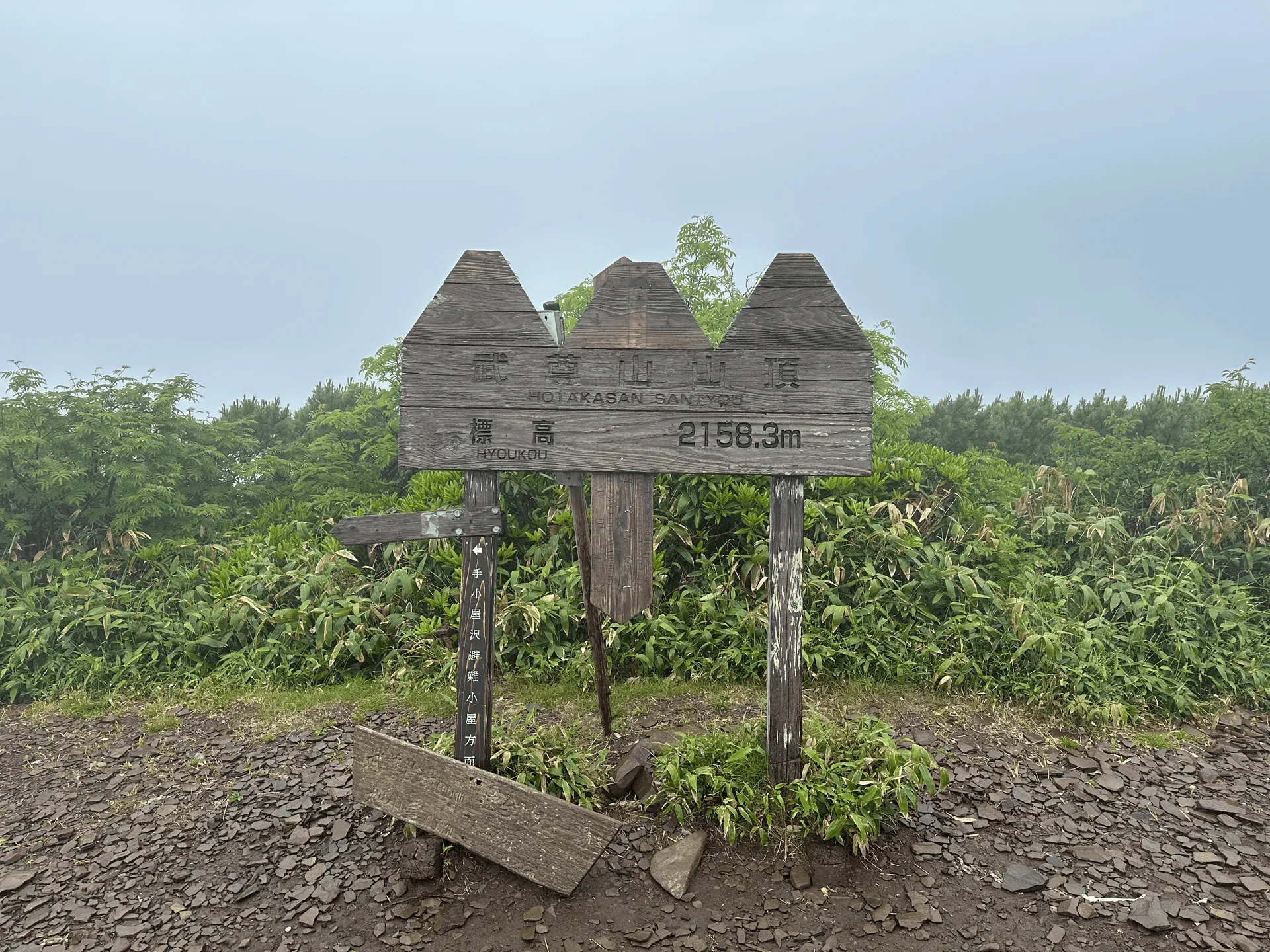
I took a quick photo at the summit, and then I started to head back down. The steep rockfaces weren’t as scary as I was expecting, and I managed to get down with no problems.
Ironically, even though I made it down the rockfaces safely, I did end up slipping on some rocks on the trail and actually got a small cut along my hand. Nothing serious - although it was in an awkward position near my thumb so I had to try and cover it with two band-aids. I also ended up with a huge bruise on the side of my thigh the next day.

The slip did shake me a bit, and with the couple of weeks of rainy season after that I decided to play it safe and wait for a clear day, which ended up being a whole month afterwards at Mt Kisokoma-gatake.
Nevertheless, I think any hike is a good hike, especially when you get to learn something new. This time, I learned I’d rather stay home when it’s forecast to rain!
| Date climbed | Length | Course time |
|---|---|---|
| 2024-06-28 | 10.8km | 6h40min (the expected time for an average hiker without breaks) |
There is a toilet available at the trailhead.
I took the out-and-back course, which is not that much shorter than the loop course - but the loop course is apparently very steep on the descent, so I wouldn’t recommend it for beginners.
I think because Mt Hotaka is such a popular winter hike, the summer trails might not be quite as well-maintained as other popular mountains. However if you take the out-and-back course like I did, I think it is still reasonable, as long as you don’t mind the climbing on the rockface.
As a summer hike, there doesn’t seem to be many viable options for public transport to Mt Hotaka. If you were really determined, one option is to walk 10km from the bus stop to the start of the trail. However, factoring in the return trip as well, you’re looking at a 30km walk altogether.
If you are coming in winter, the snow hiking course is only 3.5 hours, and is accessible via Kawaba Ski Resort (川場スキー場). There are many public transport options for this, and can easily be done as a daytrip from Tokyo. Keep in mind that you will need proper winter hiking equipment like crampons and and ice axe.
| Car park | Time (from Tokyo) | Round trip cost |
|---|---|---|
| 武尊山・裏見ノ滝駐車場 (Mt Hotaka/Urami-no-taki car park) | 3h10min | ~13700 yen |
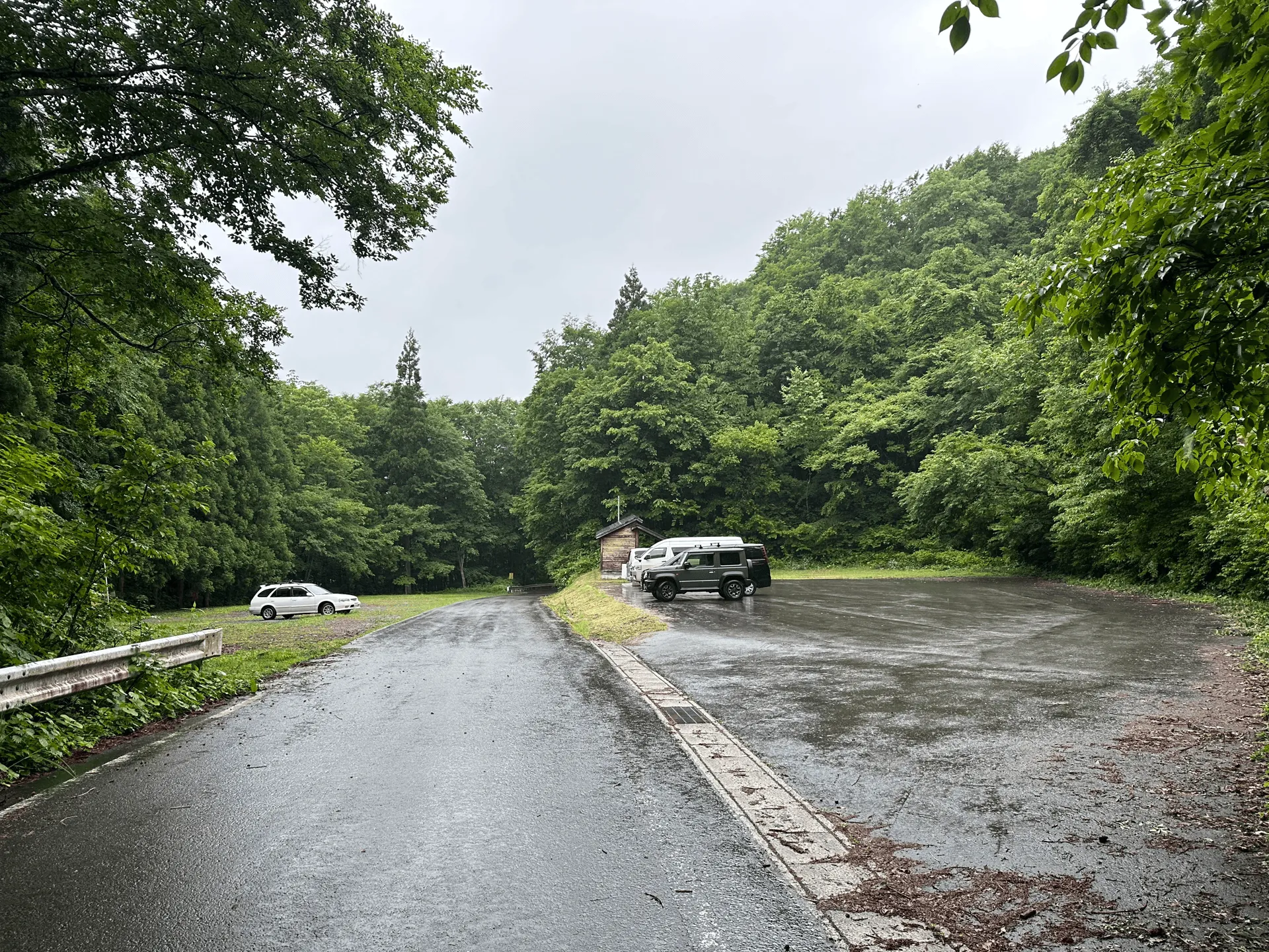
Since it was a Friday and with the poor weather, there were only 5 cars at the carpark.
There is actually the option to not park at the shrine, and keep going along a road to a small gravel clearing (武尊沢林道終点駐車場). This will take over an hour off your course time. I did see one car on the day do this, and I have seen other hikers on YAMAP do the same, However the road is a not as well-maintained, and it’s more of a “do it at your own risk” kind of situation. I didn’t want to tempt getting a flat tire on the side of a mountain by myself so I opted not to do this.

Leave a comment