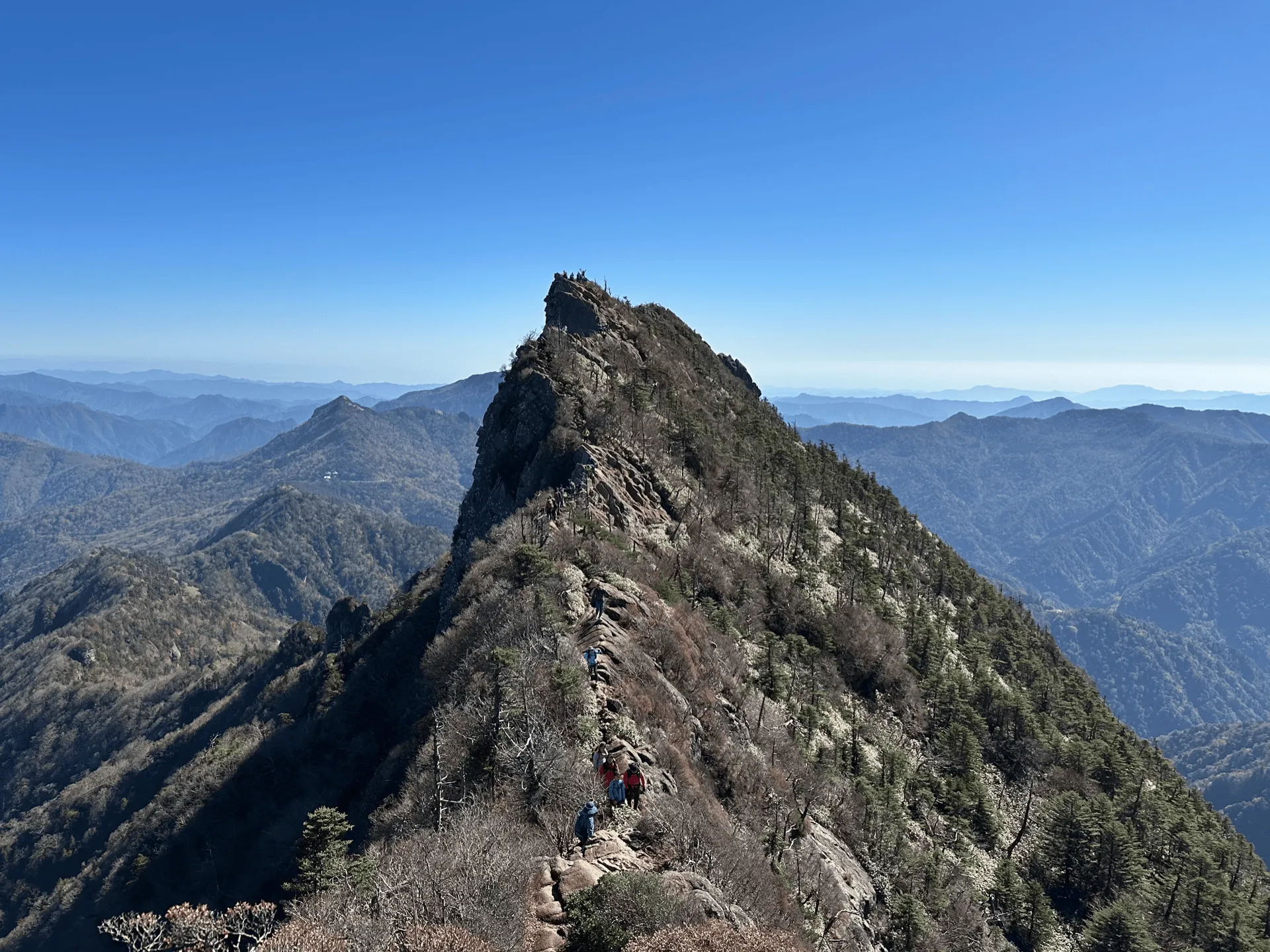
Mt Ishizuchi (石鎚山, ishizuchi-san) is a 100 Famous Mountain in Ehime prefecture. At 1982m, it’s also the highest mountain on the island of Shikoku. With good public transport access via bus and a ropeway that takes you partway up, it can be done as a 6 hour day hike. I climbed it together with Mt Tsurugi during Japan’s public holiday weekend at the beginning of November.
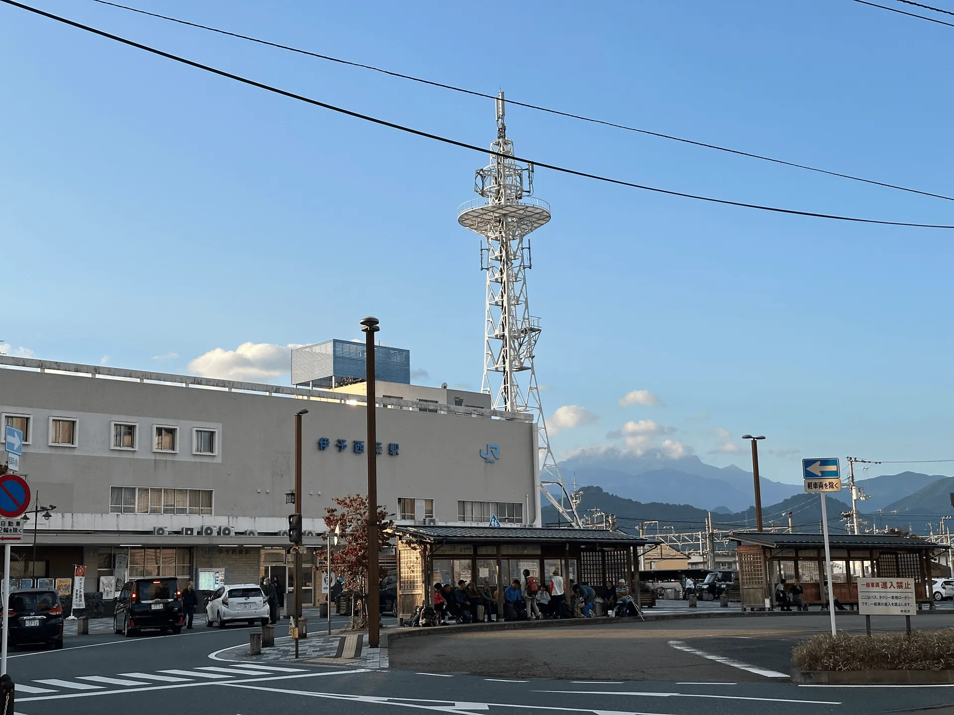
Our day began at Iyo-Saijo train station (伊予西条駅), where we got our bus to the trailhead. You can actually see the peak of Mt Ishizuchi in the distance behind the station!
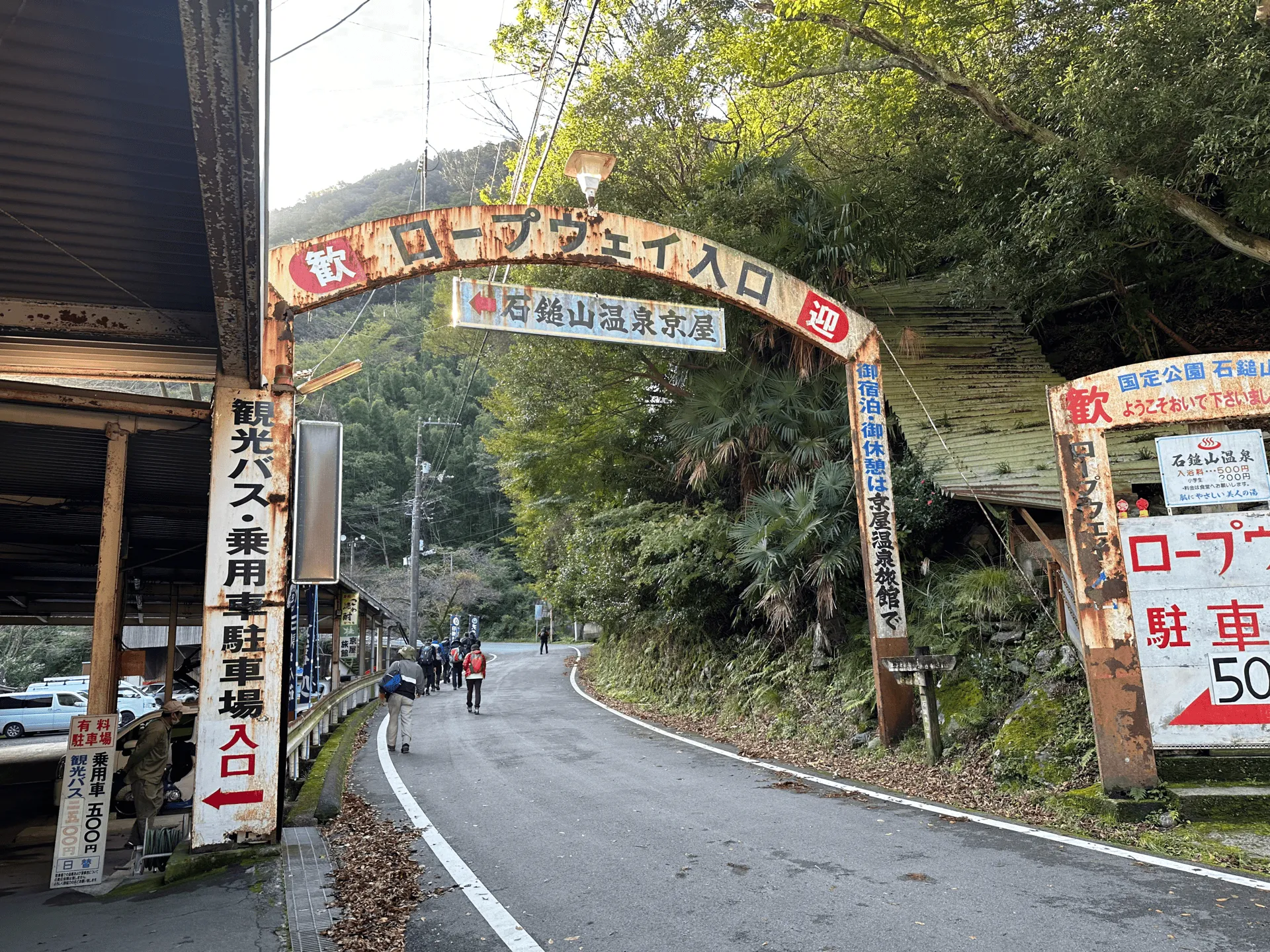
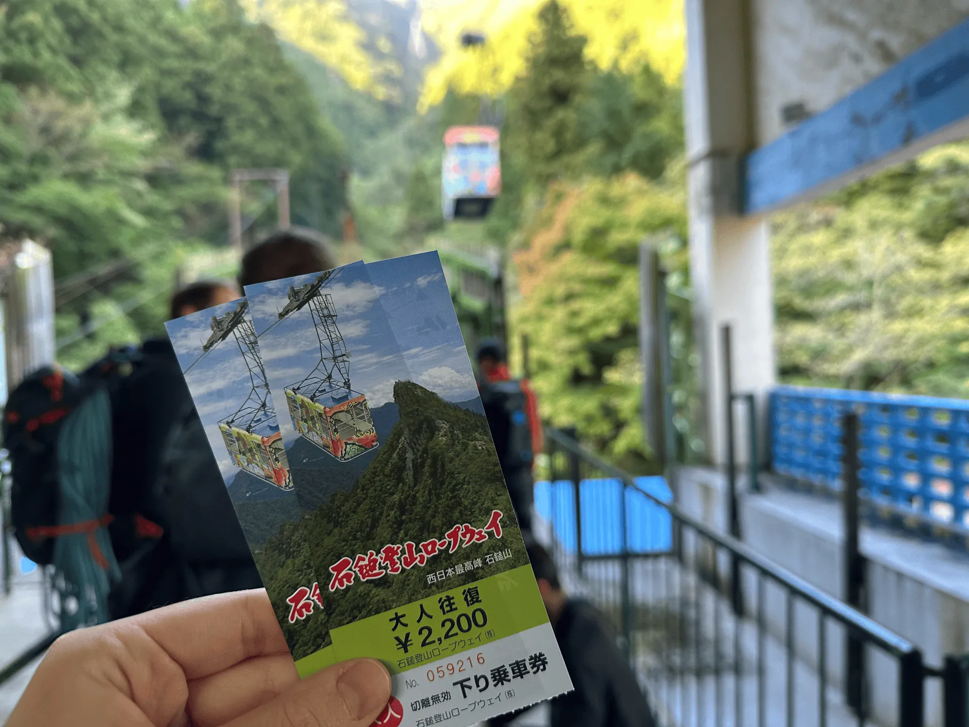
The bus trip will take about an hour. After you get off the bus, it’s a short walk up the road to the ropeway. The ropeway departs every 20 minutes, but I think they also run it more frequently when it is crowded. We got on after only a short wait.
From the ropeway, you will have a 20 minute walk up to the Joju-sha (成就社) Shrine. As we approached, we could hear what seemed to be like horns being blowed - a little discordant, since it just seemed like they were blowing notes randomly - but also kind of eerie at the same time as it echoed through the forest. (I later found out they were conch shells, or “horagari”).
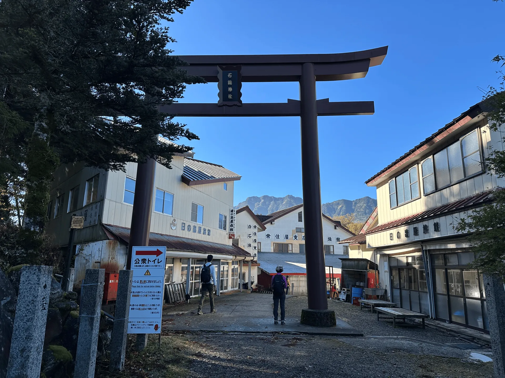
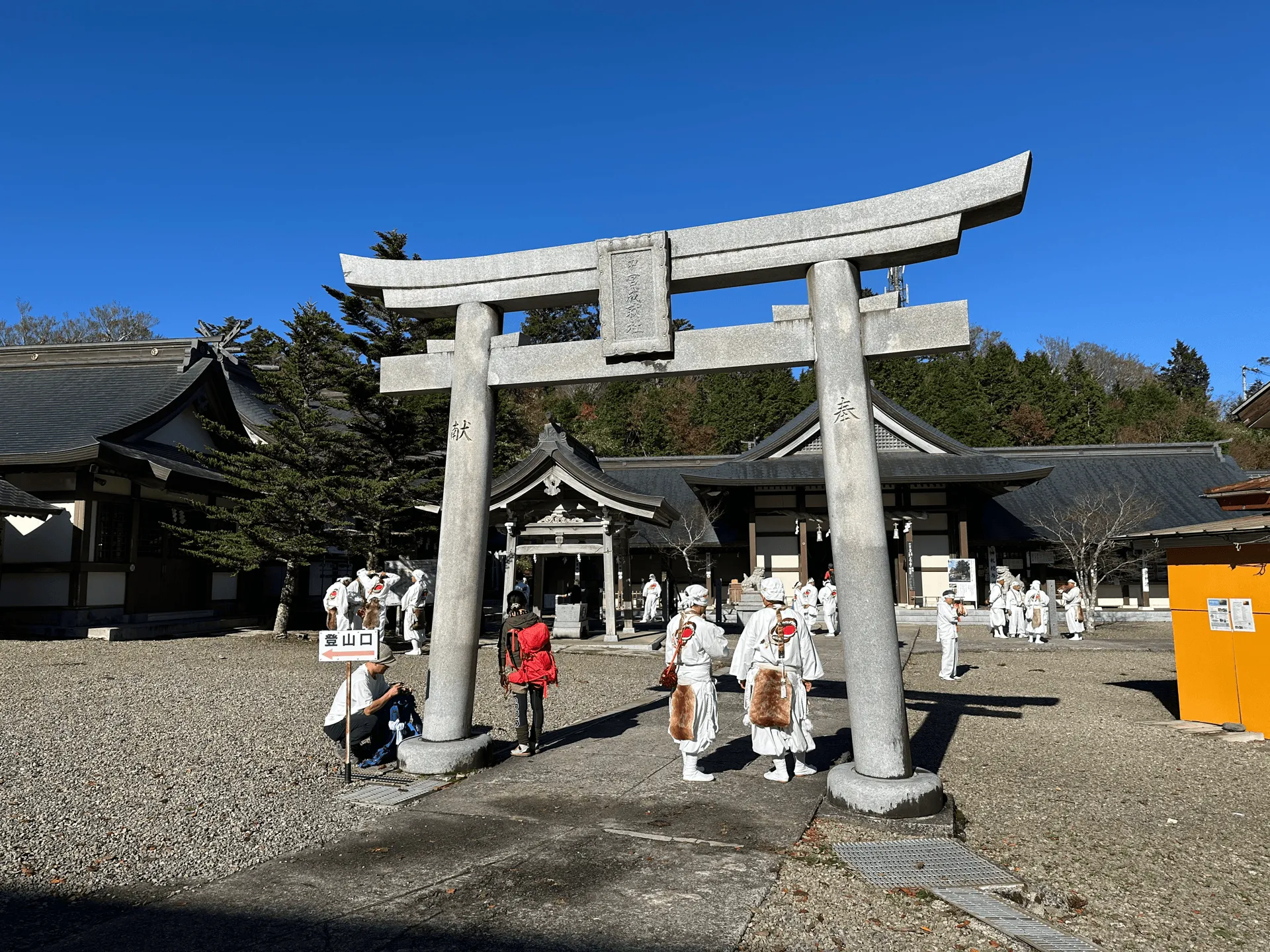
As we reached the shrine, there was a lot of activity going on. Mt Ishizuchi has a lot of spiritual significance for practitioners of Shugendo (a Japanese religion originating in the 7th century). The founder of Shugendo actually came and climbed Mt Ishizuchi himself. There were many people dressed in white, presumably followers of the religion.
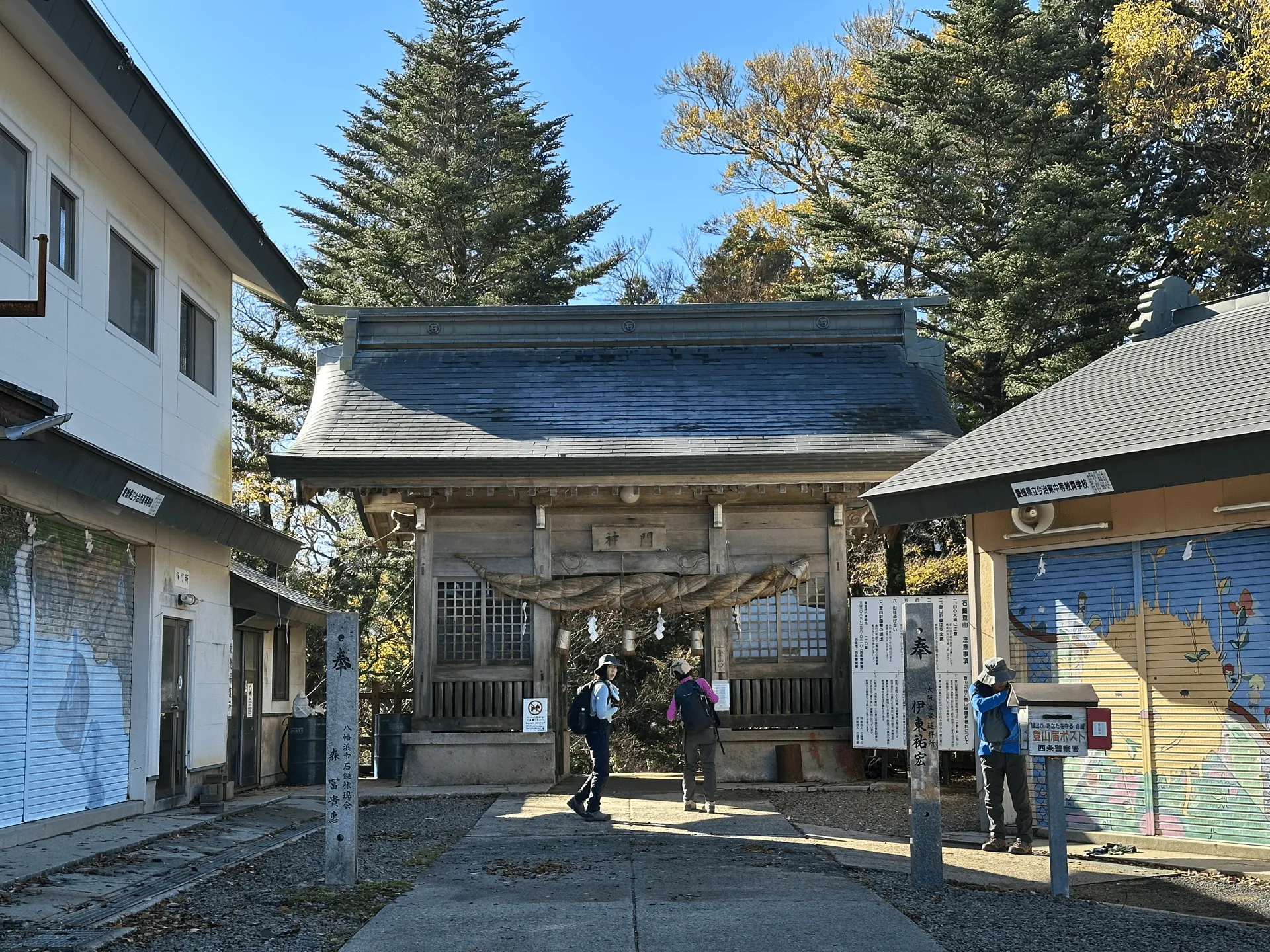
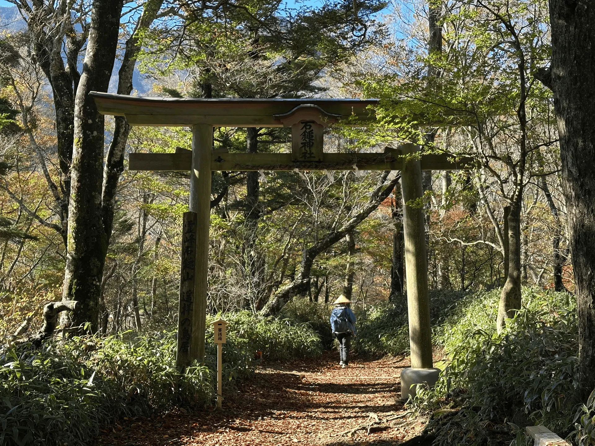
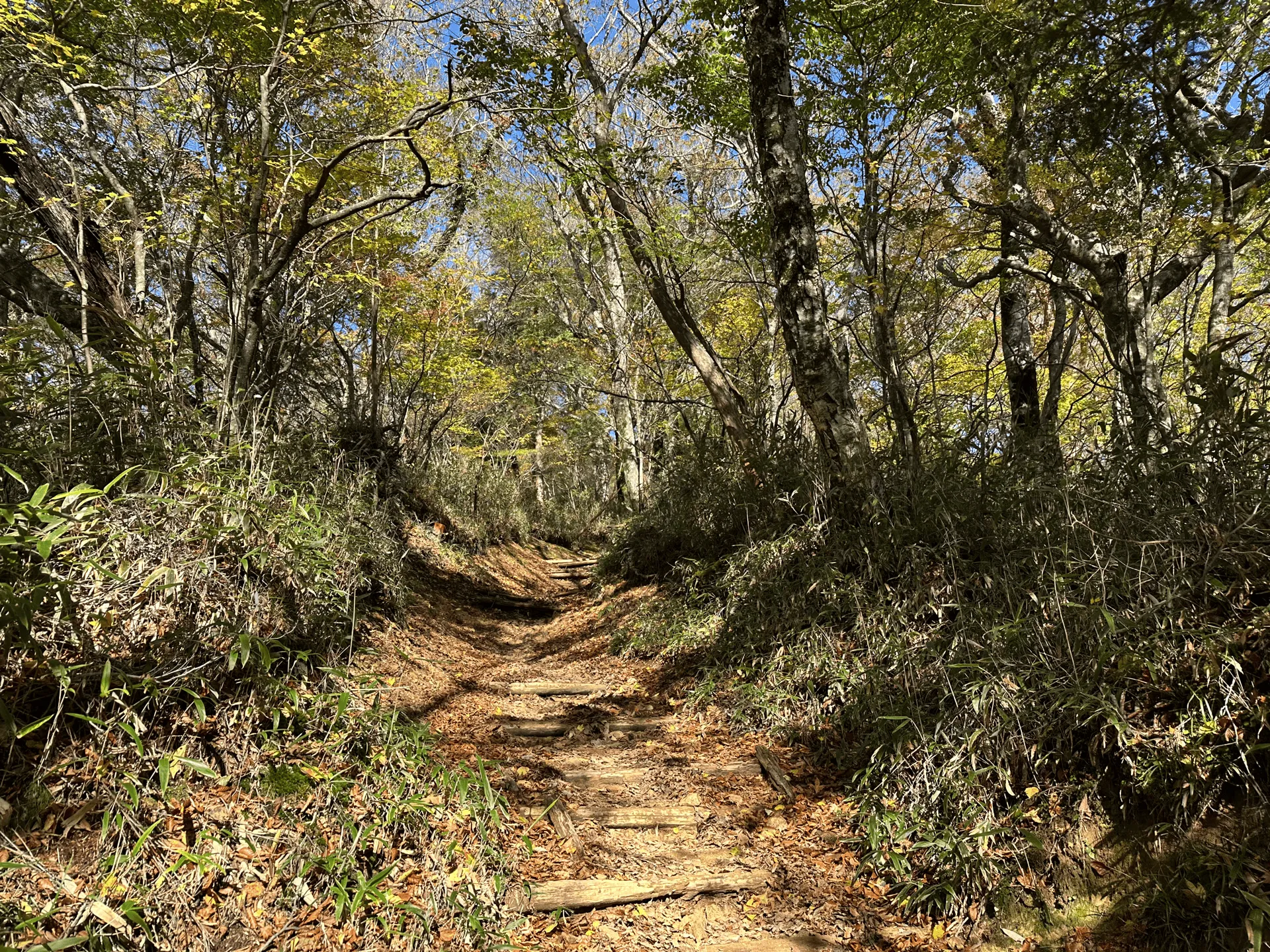
After passing by the shrine, the hike begins with a 1km descent into the forest. The hiker ahead of us was wearing a straw hat. I think they were doing this hike as a pilgrimage of sorts.
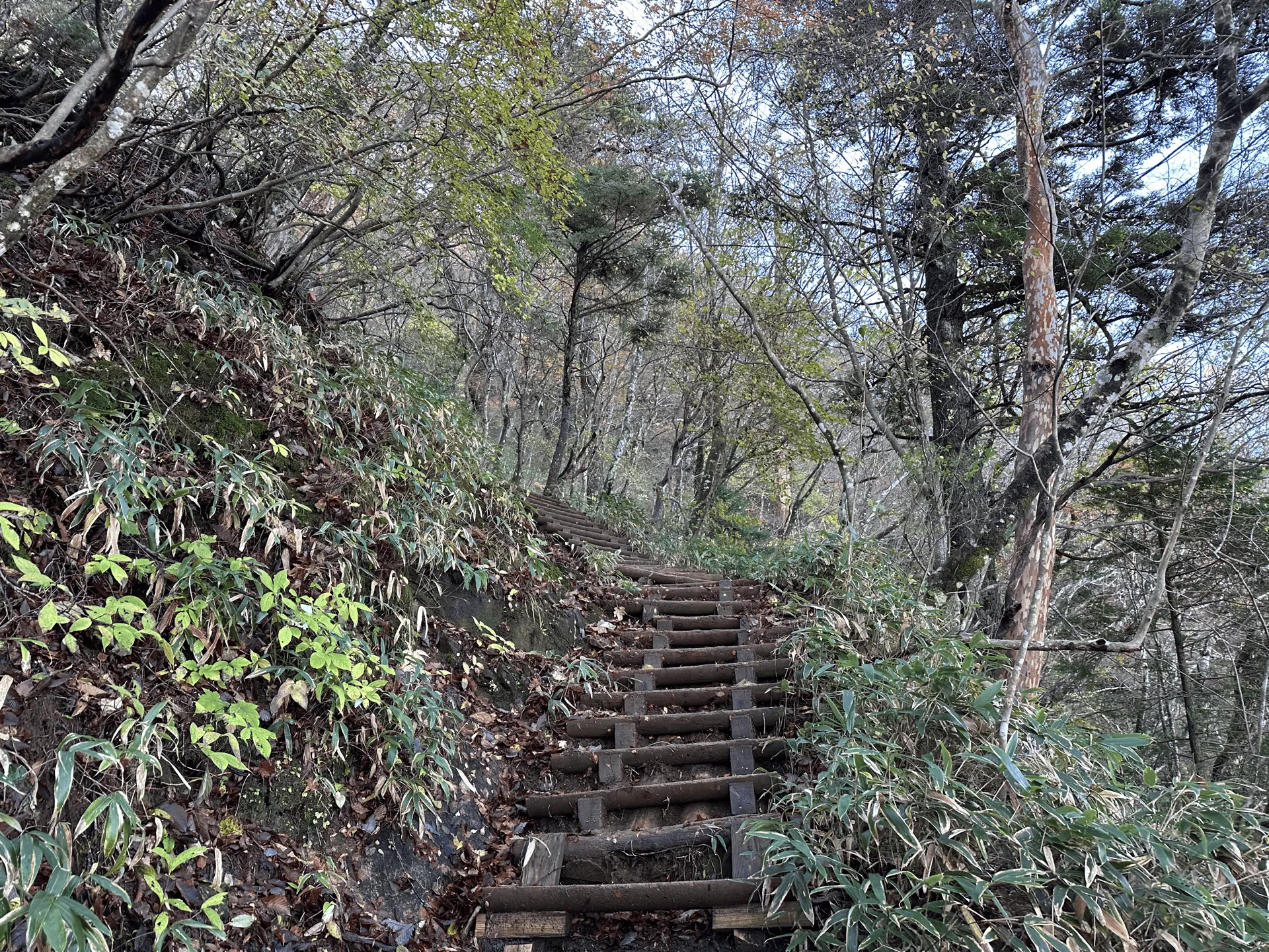
The trail is well-maintained, and as you start to climb, some sections of the trail have staircases as well.
With Mt Ishizuchi’s religious significance, it’s also used as a training ground for Shugendo followers, and is particularly famous for sections of the trail that can be climbed with large chains. (If you are scared of heights, luckily all of these are optional and can be skipped).
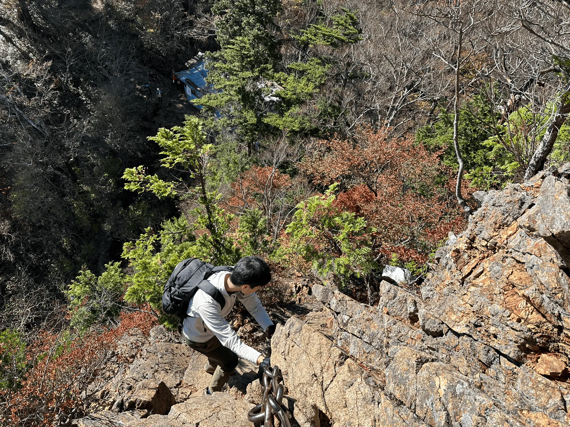
I’m not the biggest fan of climbing with chains, but I decided I would give the first section a go and then see if I wanted to do the rest. The first chain climb called the 試の鎖 (or “trial chain”) has you climb 48m up a steep rock face.
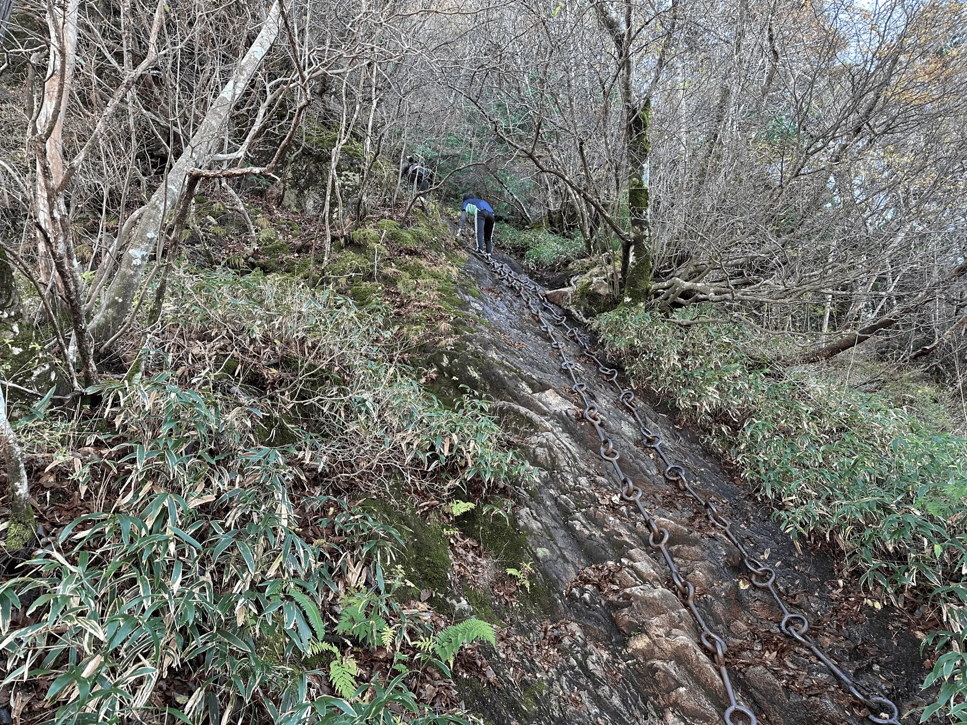

The chains were actually a lot larger than I was expecting. Each of the links are large enough that you can grip each ring with your whole hand, which makes holding onto them easier. You really have to use a lot of arm strength to pull yourself up. Forty-eight metres is a long distance though so about halfway up, I really started regretting it but you can’t really back out at that point!
Once I finished the climb, I was definitely feeling the adrenaline. From here you’re rewarded with a clear view out to Mt Ishizuchi, and there’s a little mini shrine at this peak as well.
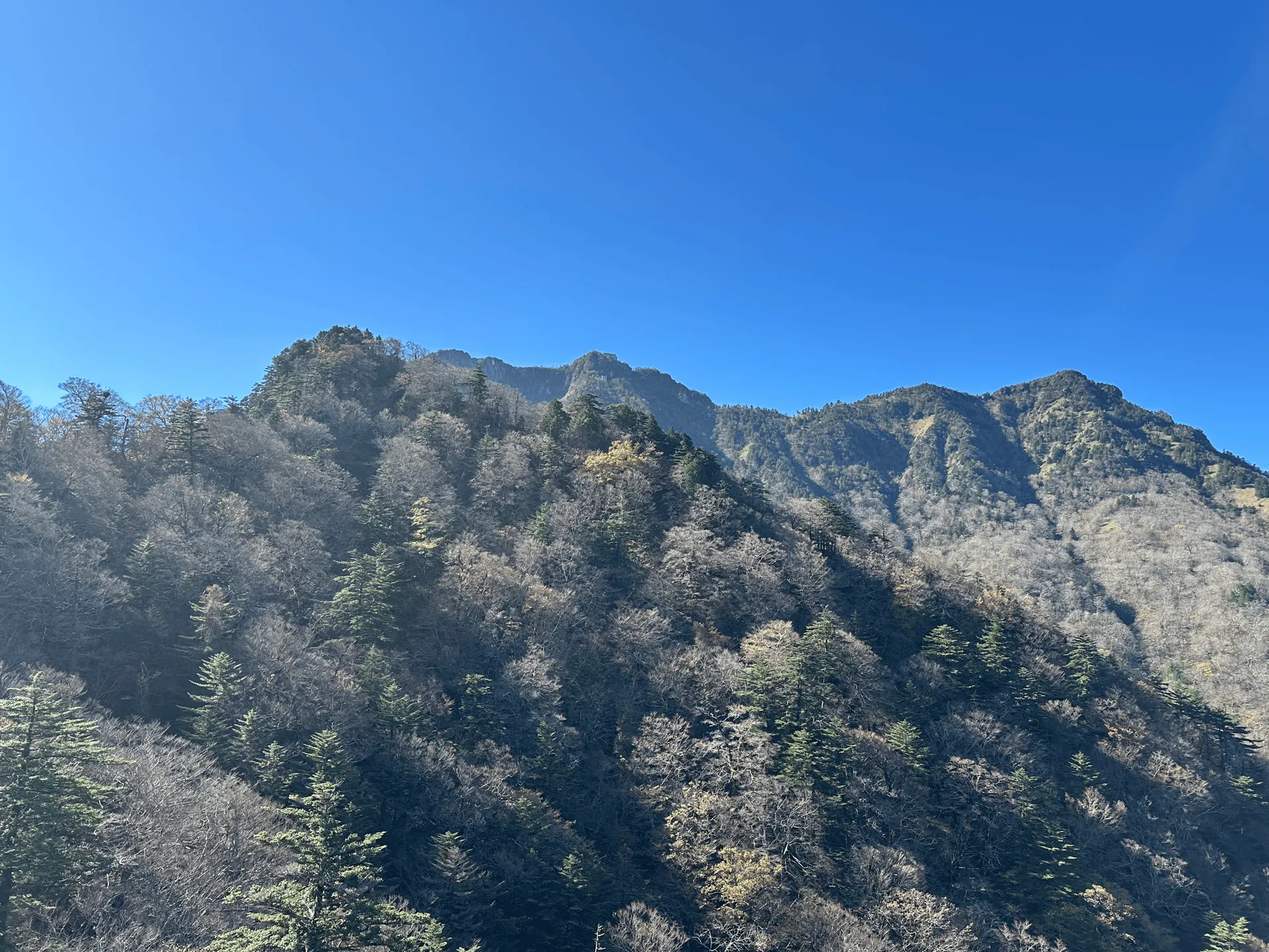
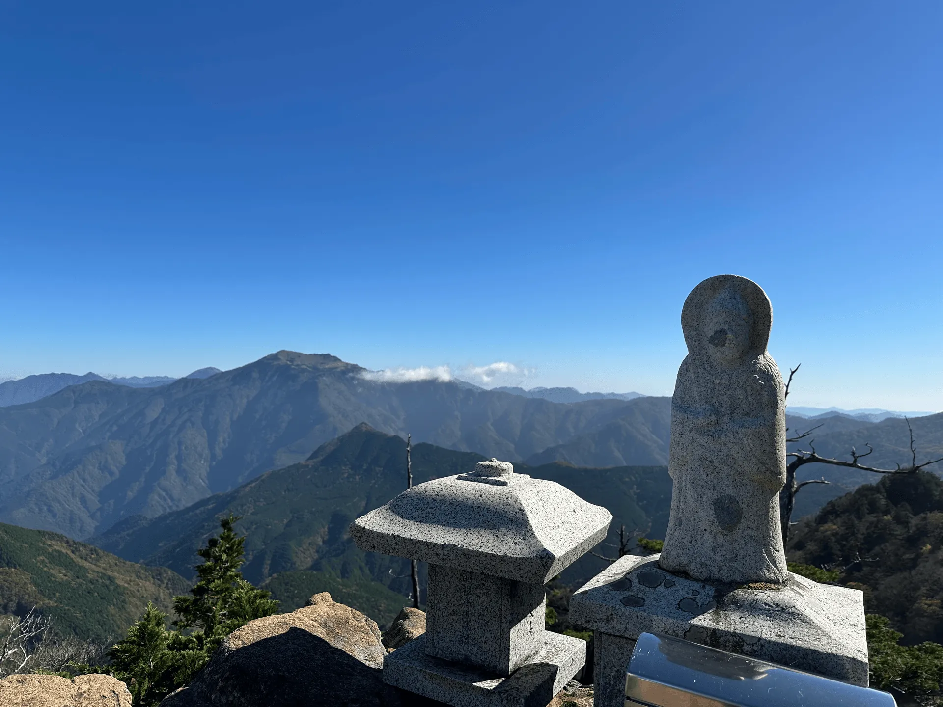
What I didn’t realise was that although there are three “main” chain spots you can use to climb Mt Ishizuchi, this one was actually an optional chain section to get to this particular viewpoint. So after climbing 48m via the chain, you have to descend (fortunately only 19m) back down via another chain.
Now, descending via the chain is a lot scarier than climbing it, and so my knees were definitely shaking after I was done with this one. My partner didn’t have any problems with it or find it scary though, so it’s definitely a personal thing on how you’ll feel about it. Since this is the only chain section on the trail where you must descend using the chain, I would also recommend skipping it if you don’t feel 100% comfortable.
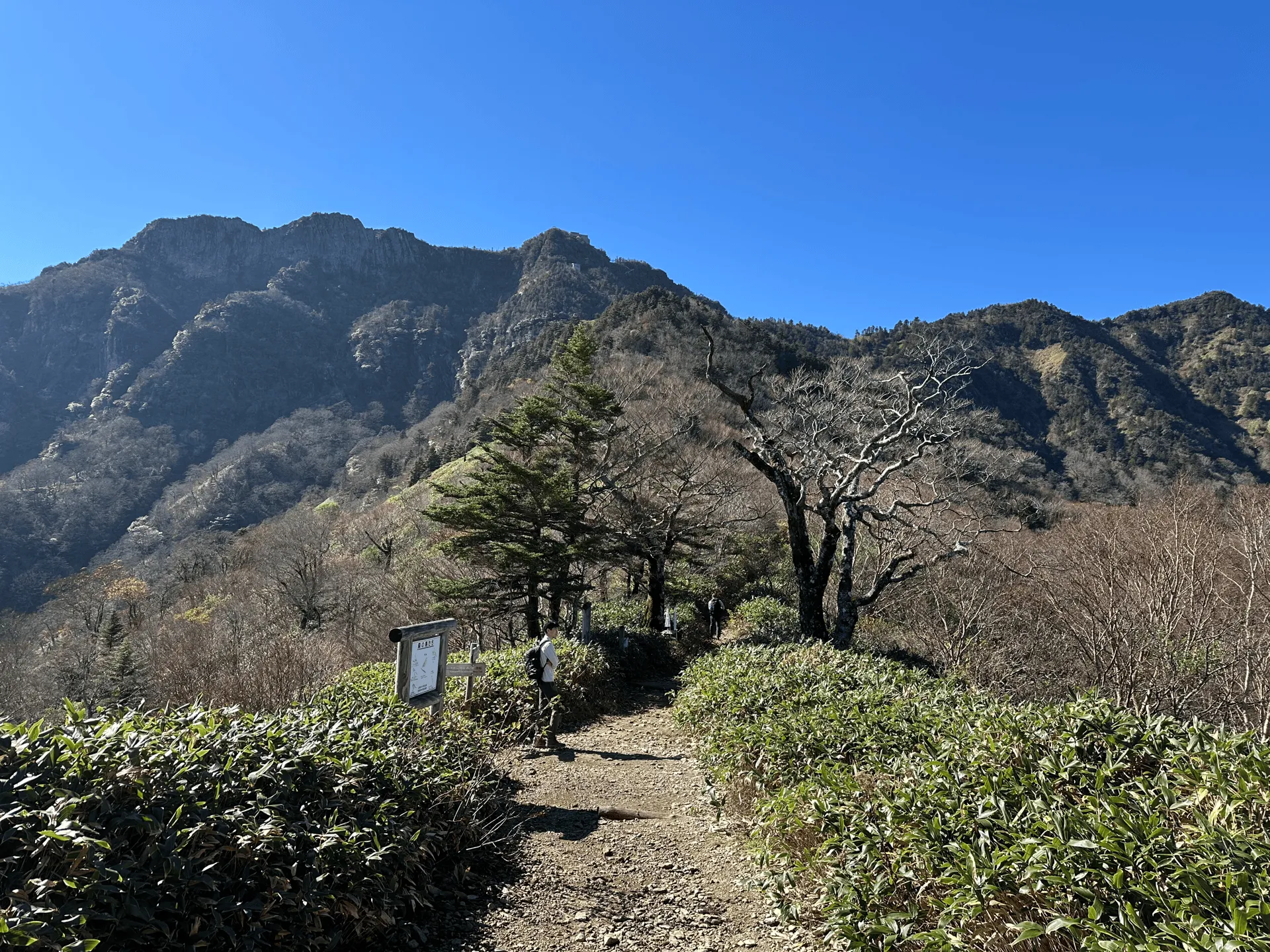
From here the trail has some flat stretches before you come to the first “main” chain climb (一の鎖), which has a length of 33m.
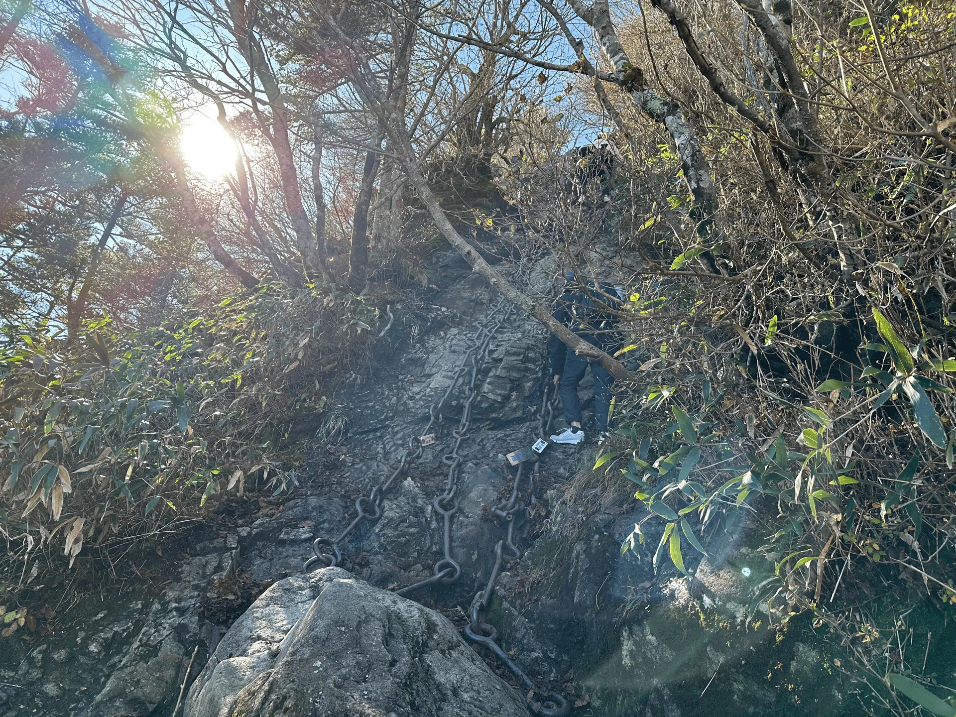
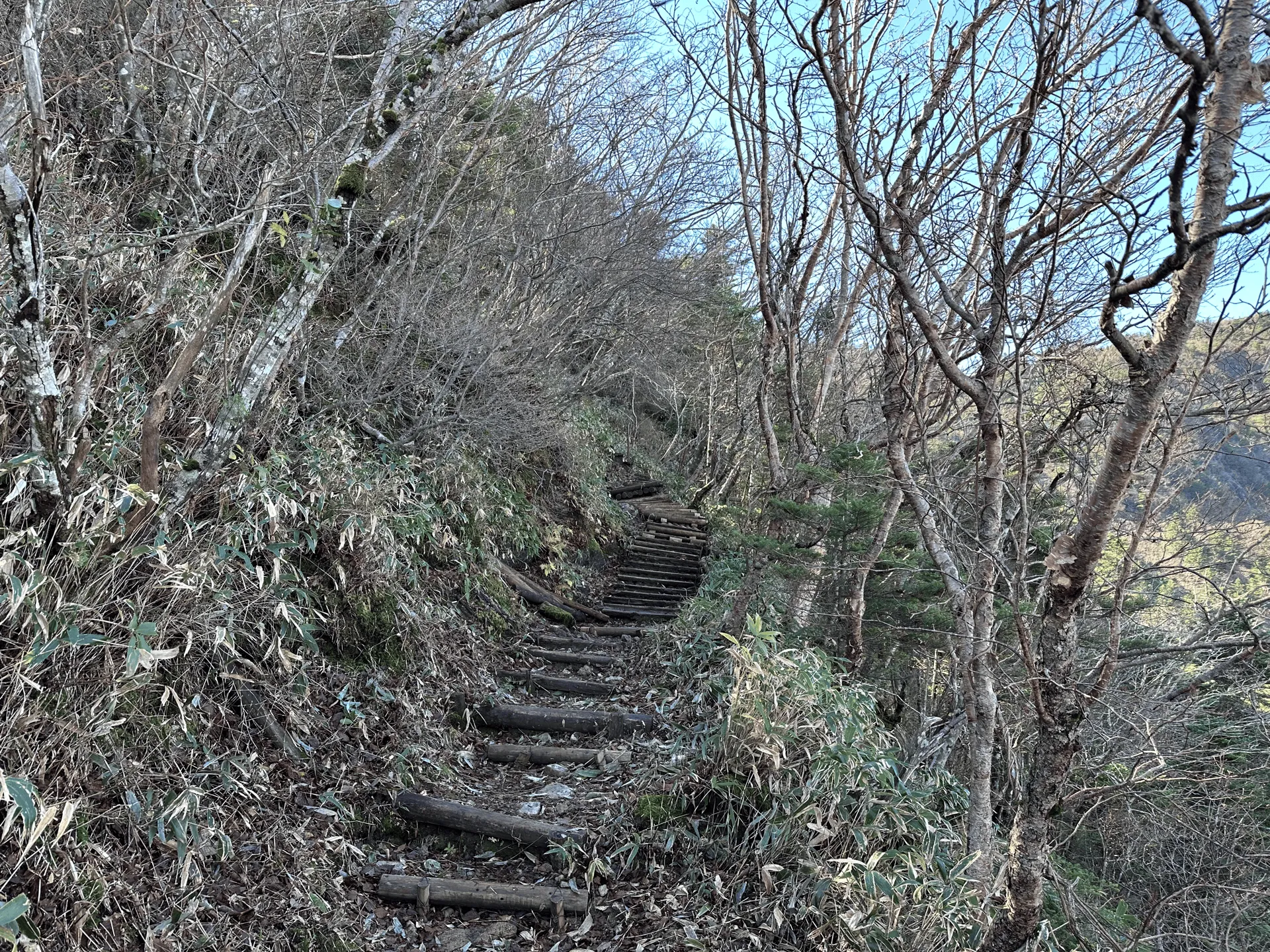
I decided I had had enough of a taste of chain climbing and took the alternate route, which were some stairs that took a bit more of a winding route around.
My partner went via the chain, and ended up taking the same time as me. Apparently a more elderly hiker had hired a guide who attached a rope to himself and to her, which slowed things down a bit. He told me that this section wasn’t very steep either. (Useful to be able to get this info without having to climb it myself, thanks!)
Since it’s the shortest climb out of all the chain sections, if you wanted to attempt just one, I would recommend this one.
Once you pass the first chain section, you can see people climbing the second and third sections up the face of the mountain. This looked crazy steep.
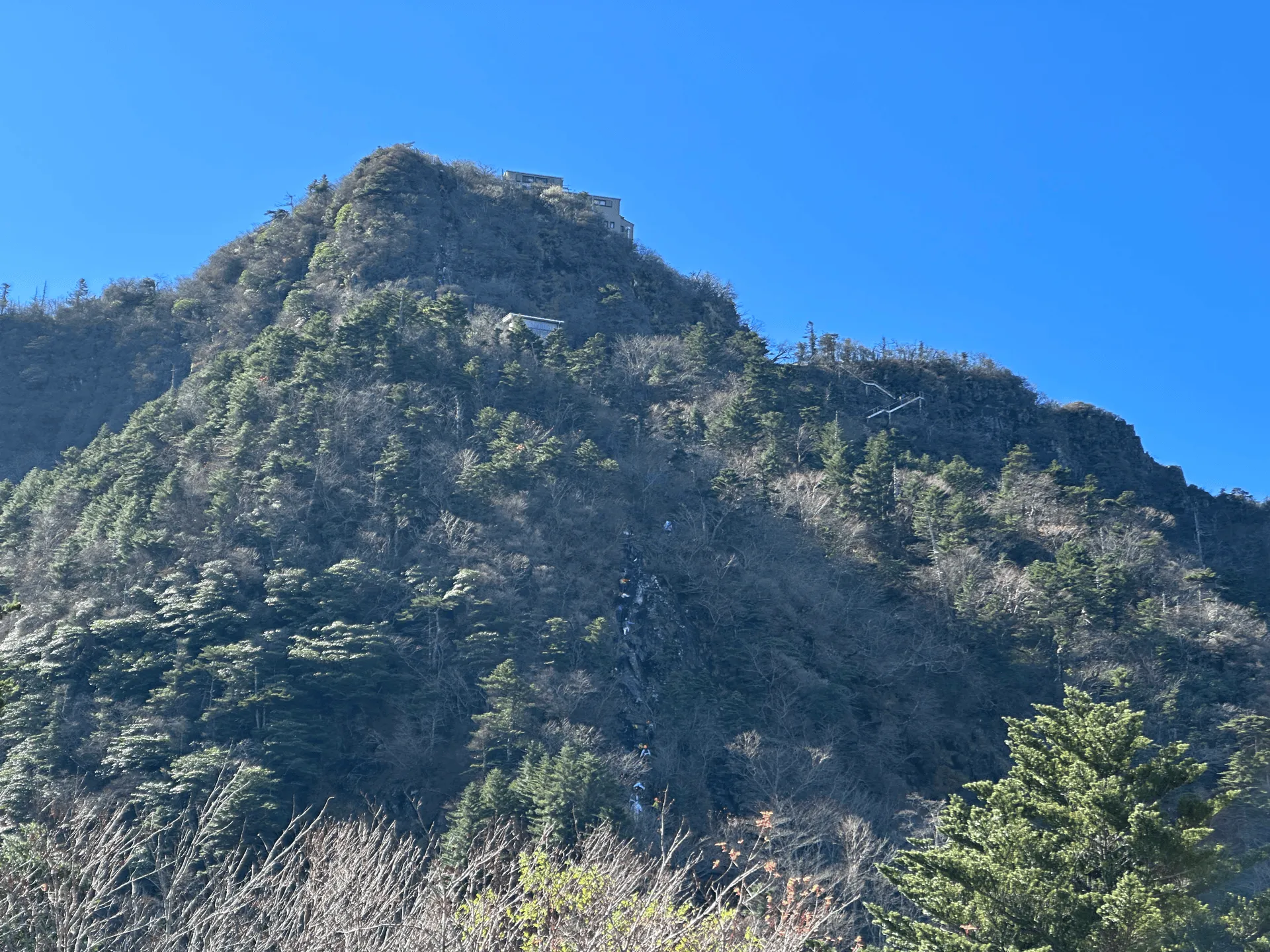
I also decided to skip the second and third chain sections (二の鎖 and 三の鎖). They’re 65 and 68m respectively, and they’re nearly connected to each other. There’s probably 5 - 10m of flat trail in between the the two of them, so you can bail out halfway, or just join in for the last chain section.
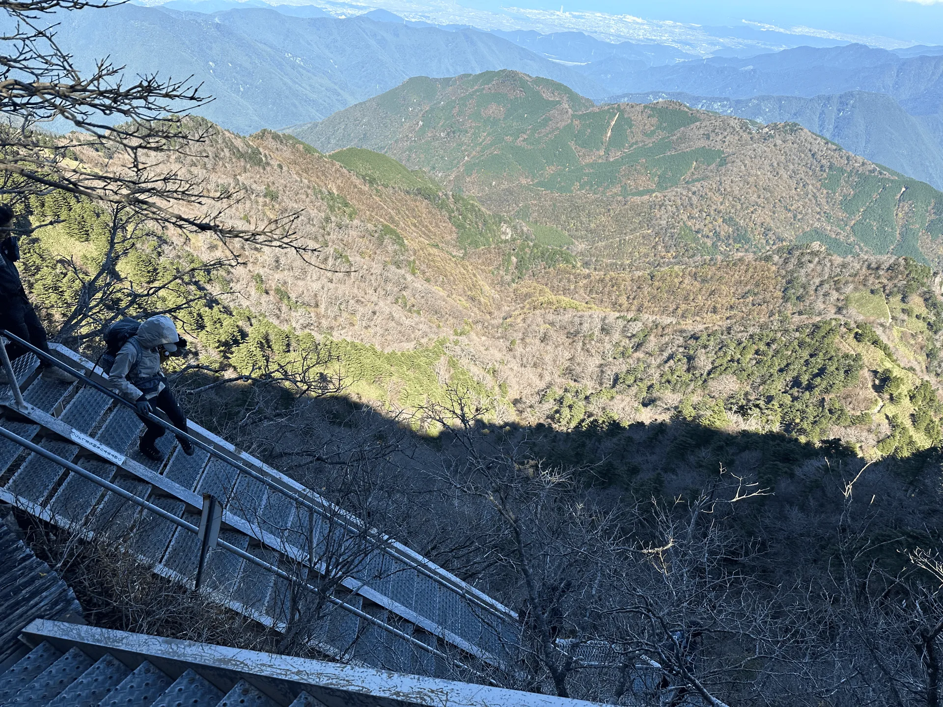
The alternate route is a staircase around the side of the mountain. It’s quite a steep drop if you fell off of it, so I was definitely holding onto the handrail!
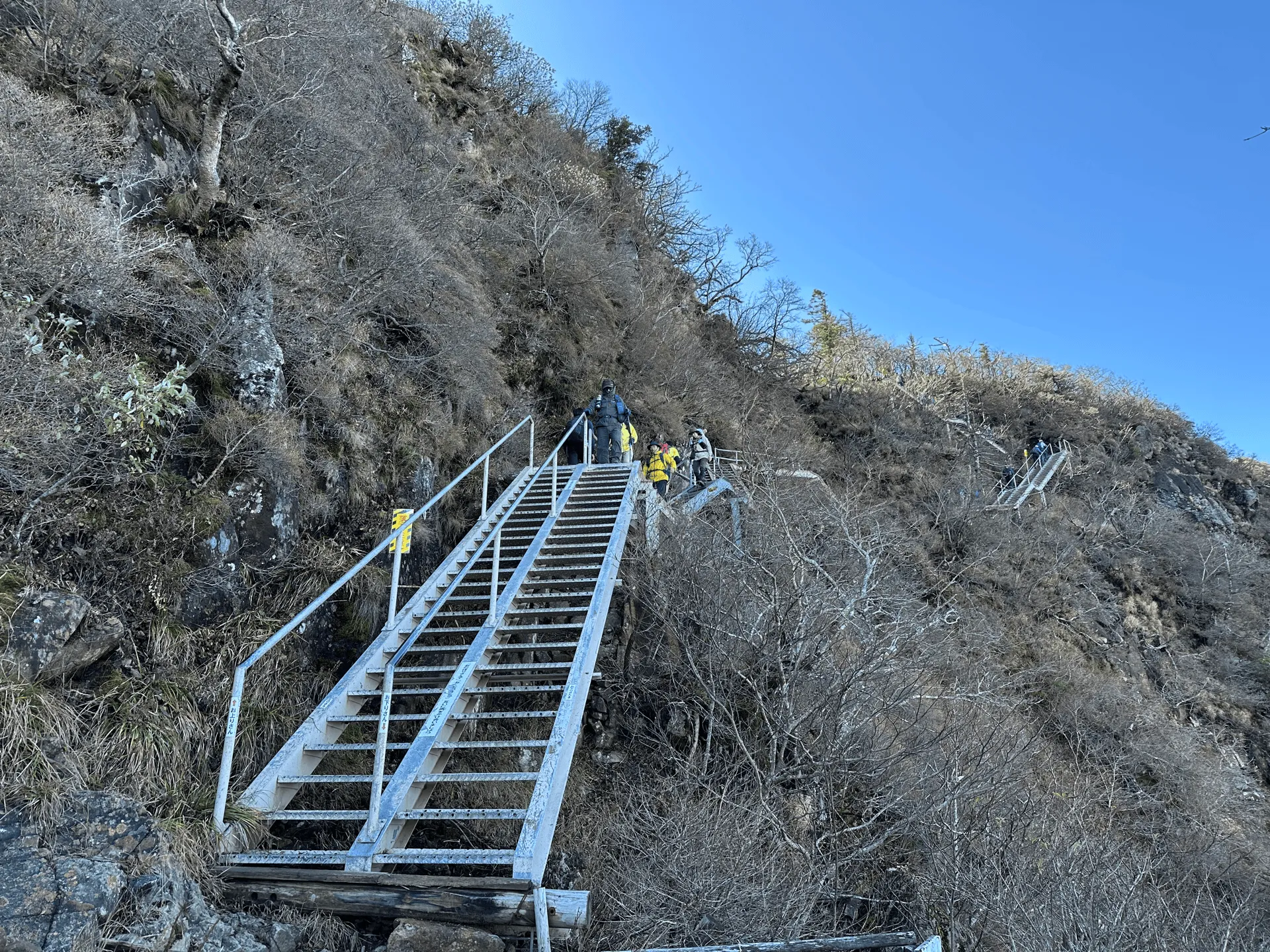
I ended up meeting up with my partner again between the second and third chain sections. It was pretty crowded, and everyone was stuck in a queue waiting to start on the third section, so he decided to bail and take the stairs up together with me.
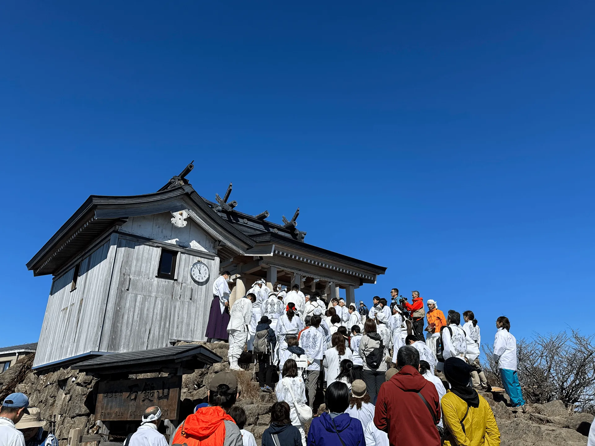
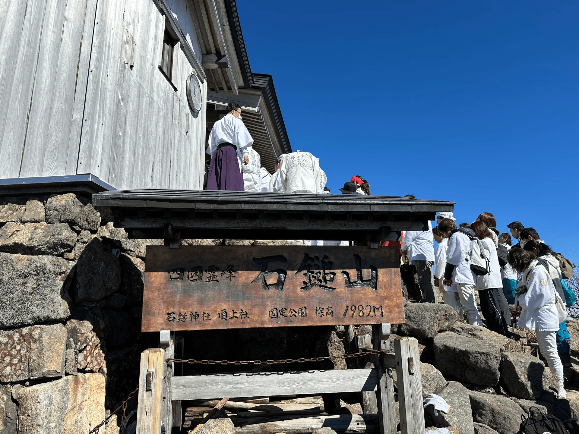
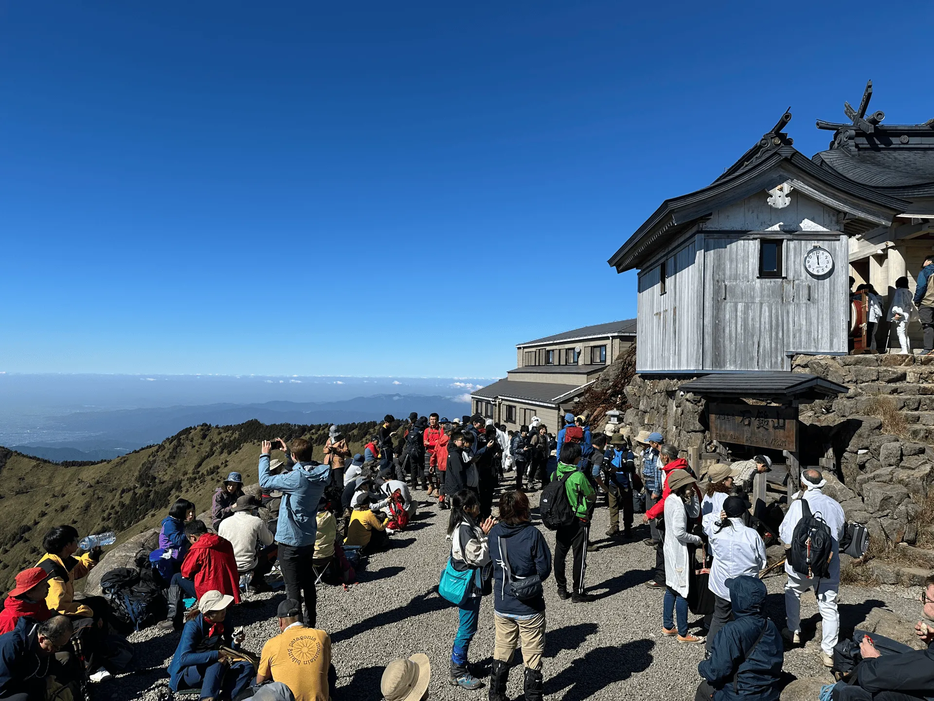
We reached the summit around 12pm, and it seems like we were just in time for some sort of ceremony at the summit’s shrine as well. It turned out that it was the mountain hut’s last day of operations for the year, so possibly it was a ceremony relating to that.
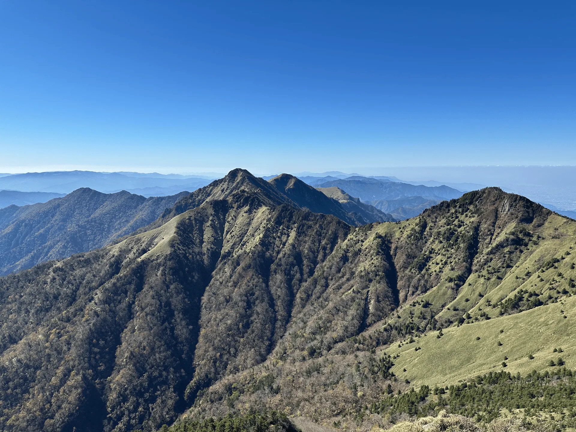
From the peak of Mt Ishizuchi, you can also see out to Mt Tengu-dake (天狗岳, tengu-dake). A photo of this peak is basically “the” iconic Mt Ishizuchi photo, and what all the promotional brochures, etc. use which is funny because it’s not even a photo of the peak itself!

Mt Tengu-dake is especially gorgeous with the autumn foliage, which we had totally missed by a couple of weeks. Actually, I was hoping it would be less crowded if we missed the autumn season, but there was still a decent crowd at the peak as well.
You can climb across to the peak of Mt Tengu-dake, but with its narrow paths, there’s plenty of opportunity for traffic jams so we decided to skip it.
Also very prominently visible from the peak is Mt Ninomori (二ノ森), which at an elevation of 1930m is just a bit shorter than Mt Ishizuchi. Looking on YAMAP, it looks like you can climb this one directly from an alternate trailhead, or it’s a 2 - 3 hour hike out from Mt Ishizuchi.
Since today’s hike was an out-and-back course, we took the same route down. It’s generally recommended that you take the stairs on the way down. Especially since the chain sections to the summit were quite crowded going up, I don’t think it would be a good idea to attempt to go against the flow of traffic.
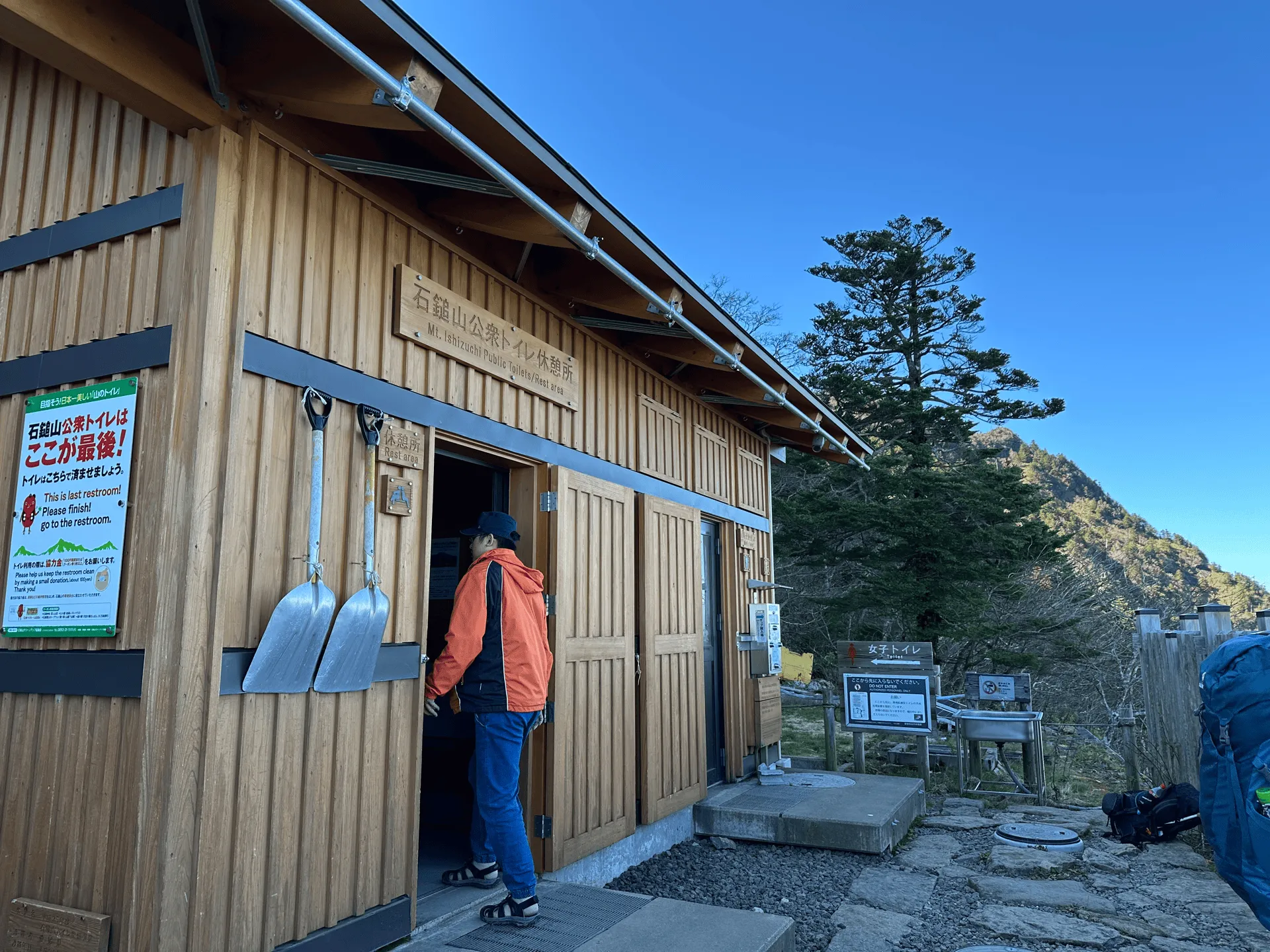
Just below the second chain area is also a toilet and rest area. It was very crowded on our way up, but on the way back down the crowds had lessened quite a bit. Actually, in general the trail was quite quiet on the way back down. I think the bulk of the people were still having their lunch at the summit.
As we kept descending, we also passed by another rest hut near the “trial chain” area, which was selling some sort of ginger drink. As we passed here, I overheard another hiker tell his friends that he was going to climb and then descend via the trial chain area - which would be a 48m descent. I can’t imagine doing that one.
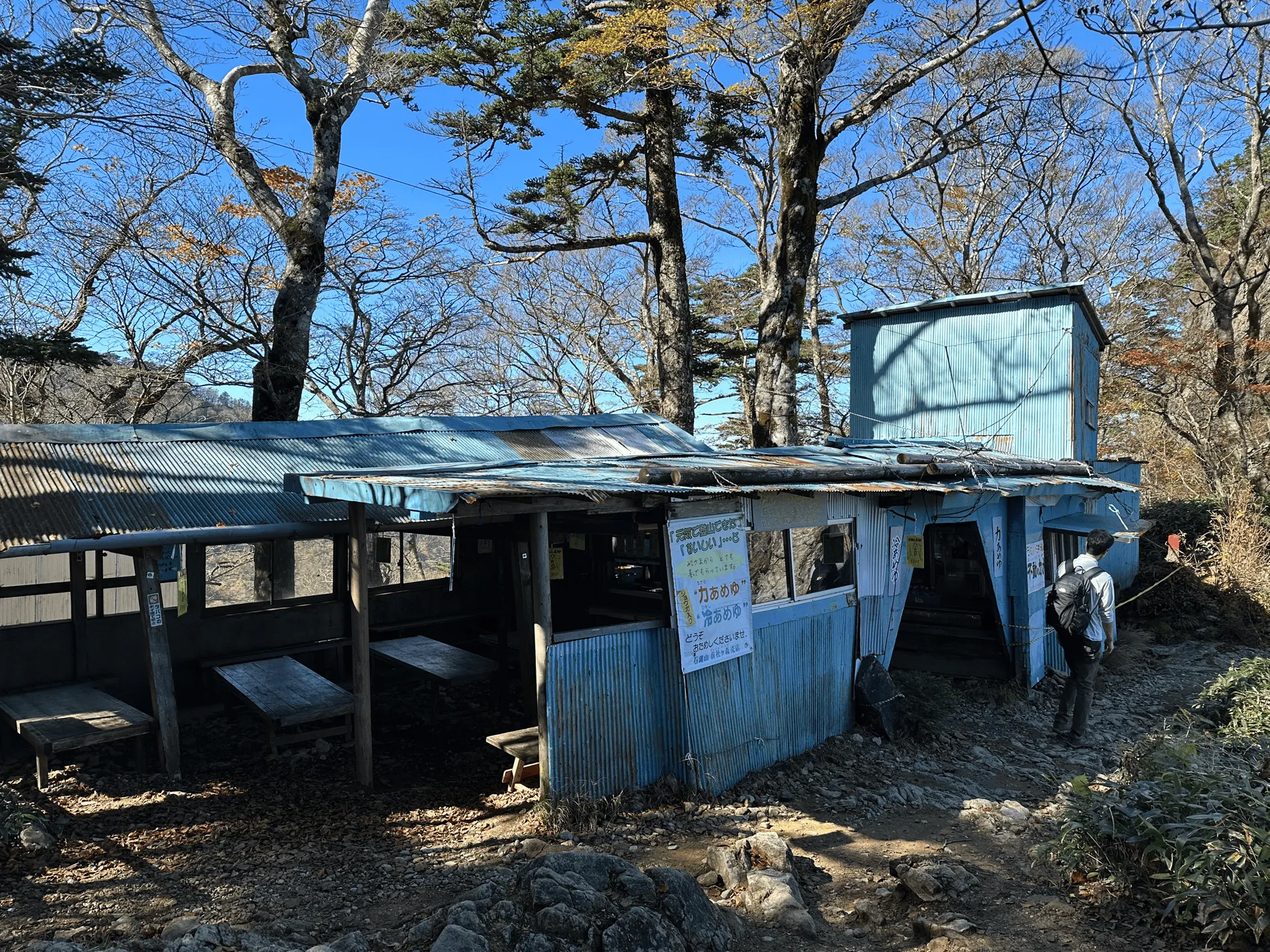
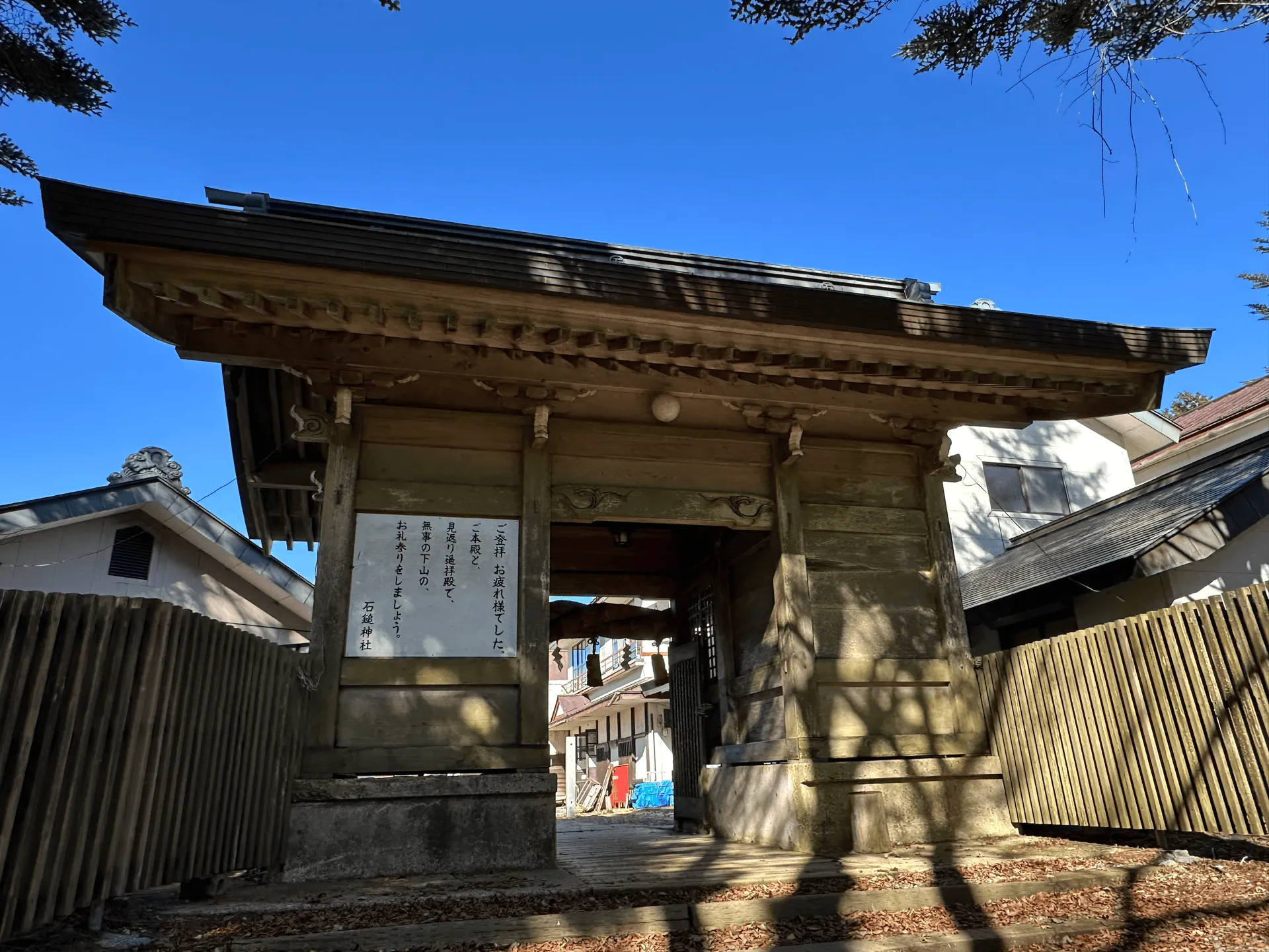
We made pretty good time on our way back down, and just before 2pm, we made it back to the shrine.
Legend has it that when the founder of Shugendo was finally able to summit Mt Ishizuchi, upon his descent, he came to the spot where the shrine now stands, turned back towards the mountain in worship and said “My wish [to climb the mountain] has been fulfilled.” The “Joju” in Joju-sha Shrine is named after that story, and means “fulfilment”.
The little white sign on the back of the trailhead’s gate welcomes you back, and also recommends you to give thanks for your safe return off the mountain like he did.
Around the temple, there’s also doors painted with artwork done by what is probably some local elementary schools. This one was quite detailed:
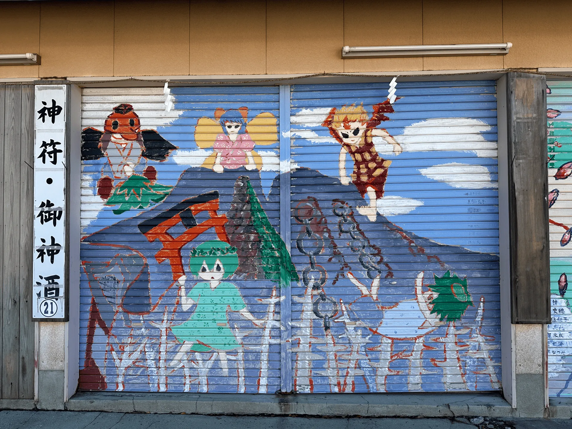
I’m not exactly sure what’s happening, but the red guy on the top left is a supernatural creature called a Tengu, you’ve got the peak of Mt Tengu-dake in the middle, and even some chains on the right. It looks like the poor green man on the right (a Kappa) has fallen off the chains onto some spiky trees below.
Hiking course details
| Date climbed | Length | Course time |
|---|---|---|
| 2024-11-03 | 8.3km | 5h45 (the expected time for an average hiker without breaks) |
We took the standard out-and-back course, which uses the ropeway. The ropeway costs 2200 yen for a round trip.
There are four spots with chains. The “trial chain” (試の鎖) spot also has a descent via chain, so I would only do this one if you feel confident. The first chain up to the summit (一の鎖) is the easiest so if you wanted a small taste, I would recommend giving that one a go.
However all are optional and can be skipped.
Public transportation access
Mt Ishizuchi has direct bus access via Iyo-Saijo station (伊予西条駅), which takes about 1 hour one-way and takes you directly to the Ishizuchi Ropeway (石鎚ロープウェイ). The bus leaves every day at 7:37am, and costs 1020 yen one way. When you board the bus, you take a fare ticket from the machine on the right, and you pay when you get off the bus.
I recommend bringing small change (no 5000 or 10,000 yen notes) for the tickets, as the bus driver may not have much spare change. Everyone barely made it onto the bus, so I would recommend lining up a bit early for this one if you can.
On the return trip after your hike, you can buy your ticket in advance at the small store next to the bus stop. Actually, the guy running the store was very friendly, and would come out of his shop to sell you the ticket directly. He also was quite chatty and kept striking up conversations with all of us lining up for the bus.
I couldn’t understand half of what he was saying, and I thought maybe my Japanese skills weren’t quite good enough (since I’m not a native speaker), but as it turns out, the Japanese people around me couldn’t really understand what he was getting at either so we were all in the same boat (lol).
The return buses are at 15:17 and 17:20. There is quite a big gap between the two, so if you have a fair amount of spare time to kill, you can stop by the onsen which is nearby as well. The 15:17 bus was quite empty, so everyone lining up got a seat. I would imagine the final 17:20 bus may be quite crowded.
As a side note, most train stations in Shikoku do not have support for Suica cards. I was quite surprised by this, because even Tokushima station, which is quite a large station with express trains running through it, didn’t have support for it either. Wherever you are coming from, I would recommend buying a paper ticket instead to save you the hassle.
If you do end up at Iyo-Saijo station having tapped on with your Suica card somewhere else, you will have to re-pay your fare (cash or credit card) on the spot to the station attendant when you arrive. You will then receive a receipt, and the next time you return to a JR station with a functioning Suica machine, you can get the station attendant to reverse the charge on your Suica card.
Car access details
The Isuzuchi Ropeway (石鎚登山ロープウェイ) does also have a carpark, which costs 500 yen for the day.
Coming to Shikoku from Tokyo
Our original plan was to arrive in Shikoku on Saturday and do a bit of sightseeing in Matsuyama, before spending the night at Iyo-Saijo and getting the bus to Mt Ishizuchi the next morning.
However, these plans got derailed by a huge amount of rain that hit Shikoku, which actually stopped all Shinkansens out of Tokyo. We spent 2 hours waiting in a train that didn’t move. On the bright side, JR gives partial refunds when there are large delays, so we got 5000 yen back from our train fare of around 16,000.
In hindsight, getting a flight to Matsuyama is probably the quicker option than taking the Shinkansen, which is a 6 - 7 hour trip from Tokyo. If you are taking the Shinkansen and want reserved seating, I also recommend booking the tickets in advance. We tried to do it a couple of days before, and the tickets were completely booked out for all of Saturday morning.
Sightseeing in Saijo
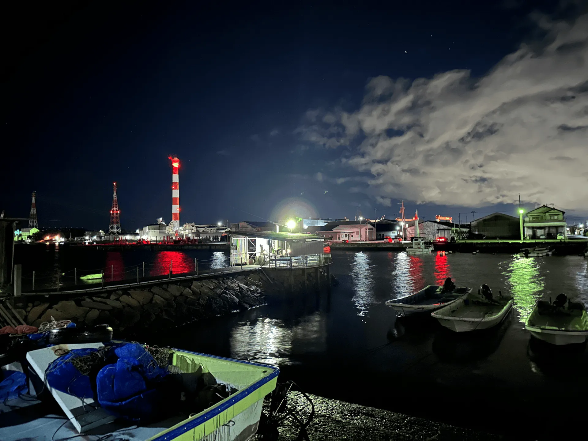
We arrived at Saijo at 7:30pm on Saturday, and with not much else to do, decided to take a long walk towards its port.
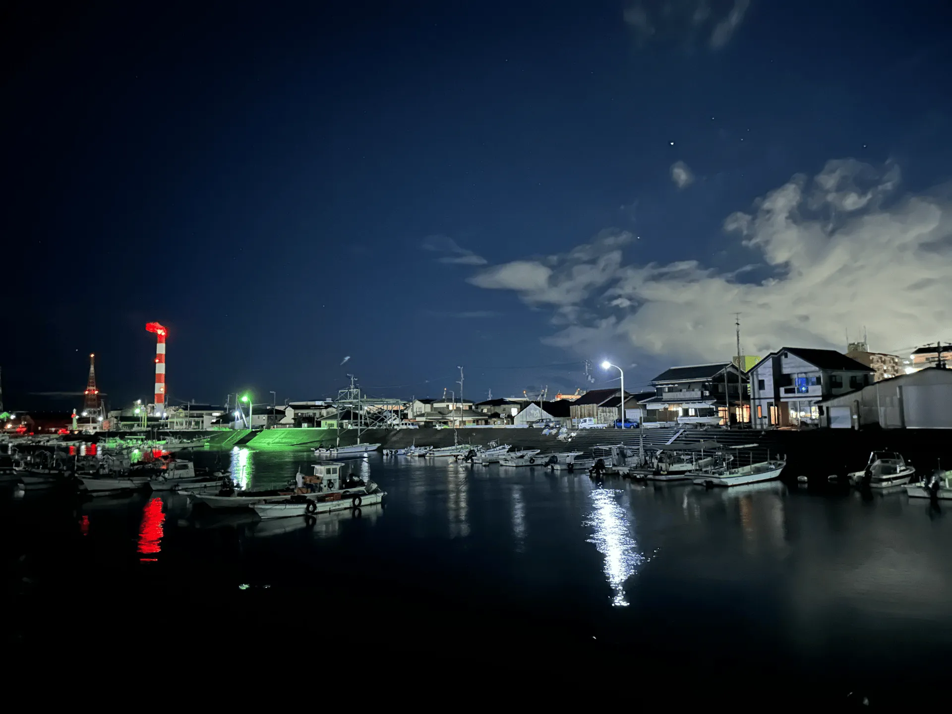
We came across a “Kobo Water” (弘法水) spot. According to legend, this is one of the places where the Buddhist Monk Kobo Daishi visited when making his pilgrimage around Shikoku.
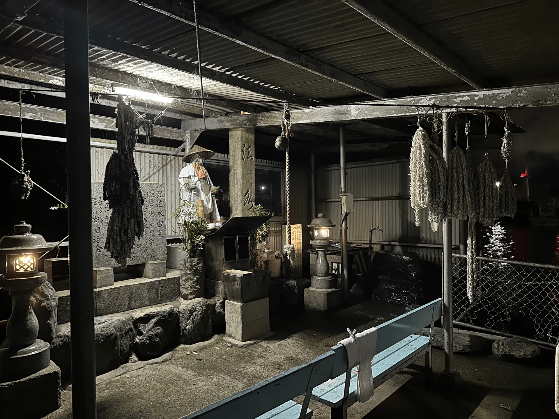
It’s a little shrine with a fountain of water in the corner. What’s interesting about this spot is that it seems to be on top of the ocean water, but the water that is coming out of the fountain is drinkable and not salty. I usually see shrines amongst trees or more wooden structures, so it was kind of funny to see this set up on a wharf, with a corrugated iron roof. More like a shack than a shrine!
The people of Saijo are quite proud of their drinking water, and the water from this spring (and other sources throughout the city) are known as “Uchinuki” and is on the list of “Japan’s 100 remarkable waters”.
I wouldn’t recommend taking the 45 minute walk from Iyo-Saijo all the way out here just to see this though, but it was a nice chance for us to stretch our legs after being on the Shinkansen all day.
Leave a comment