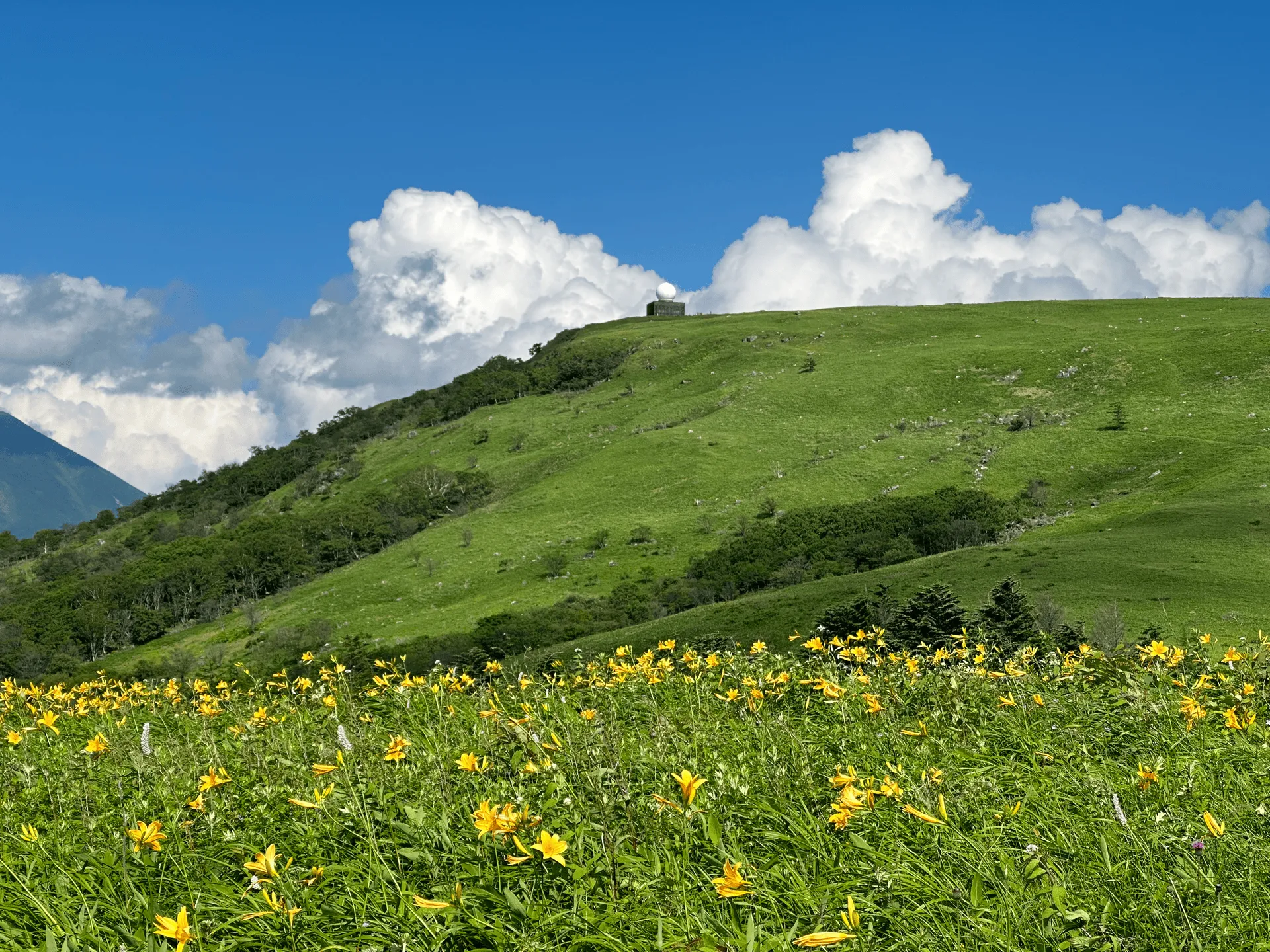
- Elevation 1925m
- When to climb May - October
- The direct course to the summit is only 1.7km, with options for longer 6km and 10km loop courses.
Mountain stats
4 hours from Tokyo, with a local bus from Kami-Suwa station.
A 3 hour drive from Tokyo. Be wary of traffic jams in July.
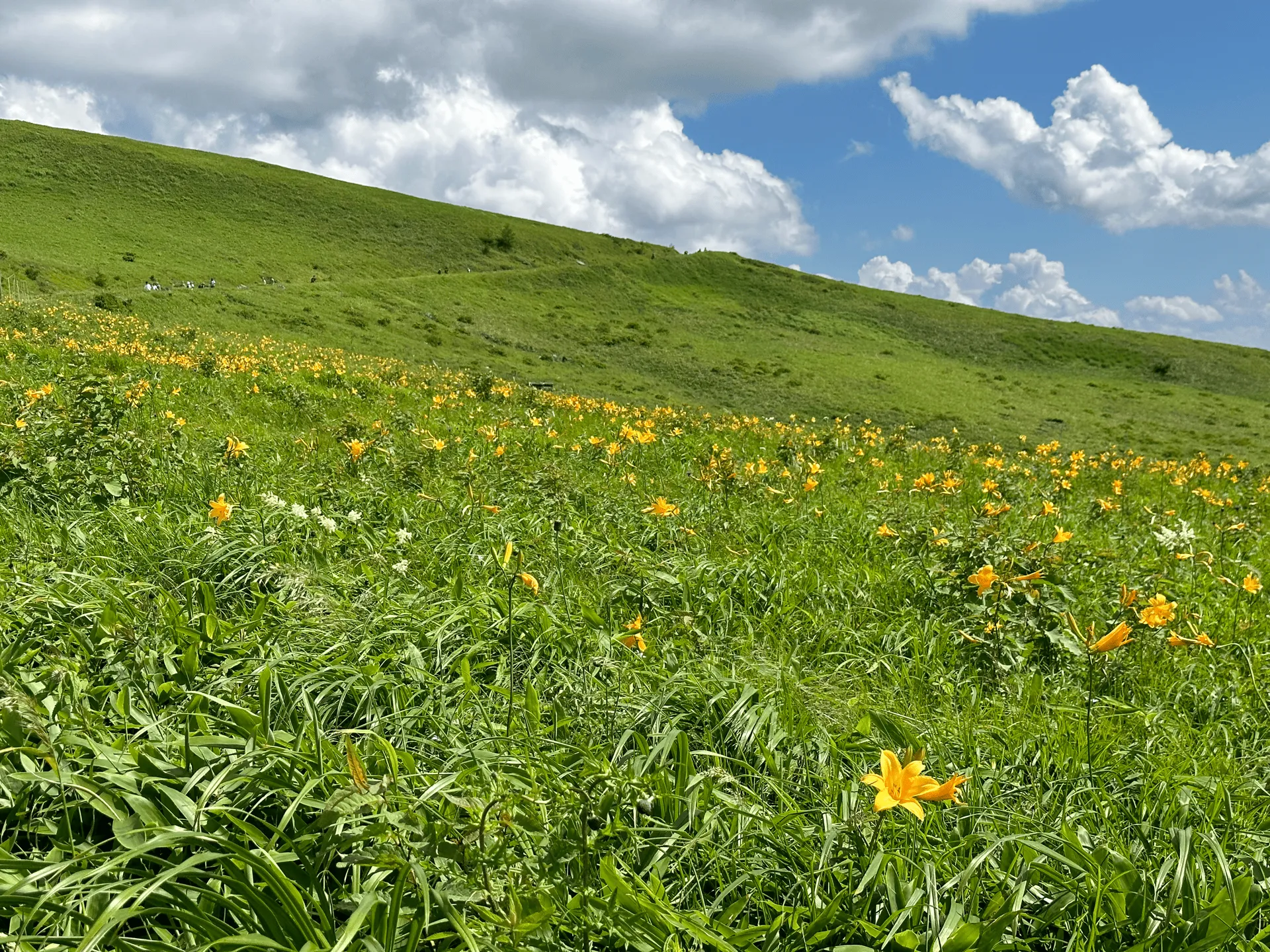
Mt Kirigamine (霧ヶ峰, kirigamine) in Nagano is one of the easiest mountains to climb in Japan’s 100 Famous Mountains, and with its rolling green hills reminiscent of that classic Windows wallpaper, it doesn’t really feel like much of a mountain at all. It can also be done as a day hike from Tokyo, so it makes a good candidate if you’re looking for an easy hyakumeizan to hike. To make the most of the trip, I decided to time my visit with the blooming of the yellow Nikko Kisuge (ニッコウキスゲ, or day lily), in July of 2023.
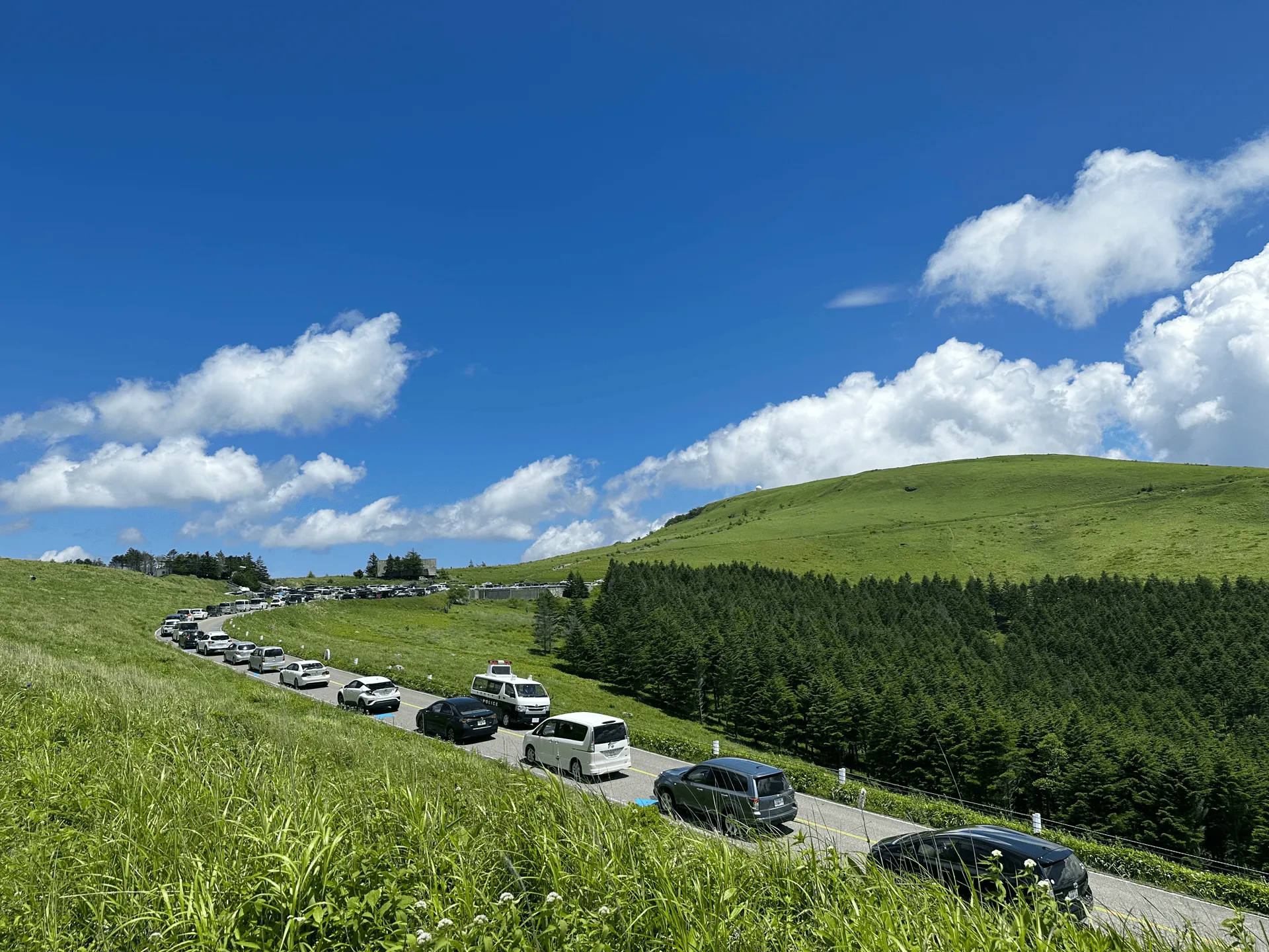
Since peak of the flowers’ blooming coincided with a 3-day public holiday weekend, the road up to the trailhead was absolutely packed with cars. People were probably lining up for hours to wait for one of the spots in the carpark to open up, and our bus got stuck behind them.
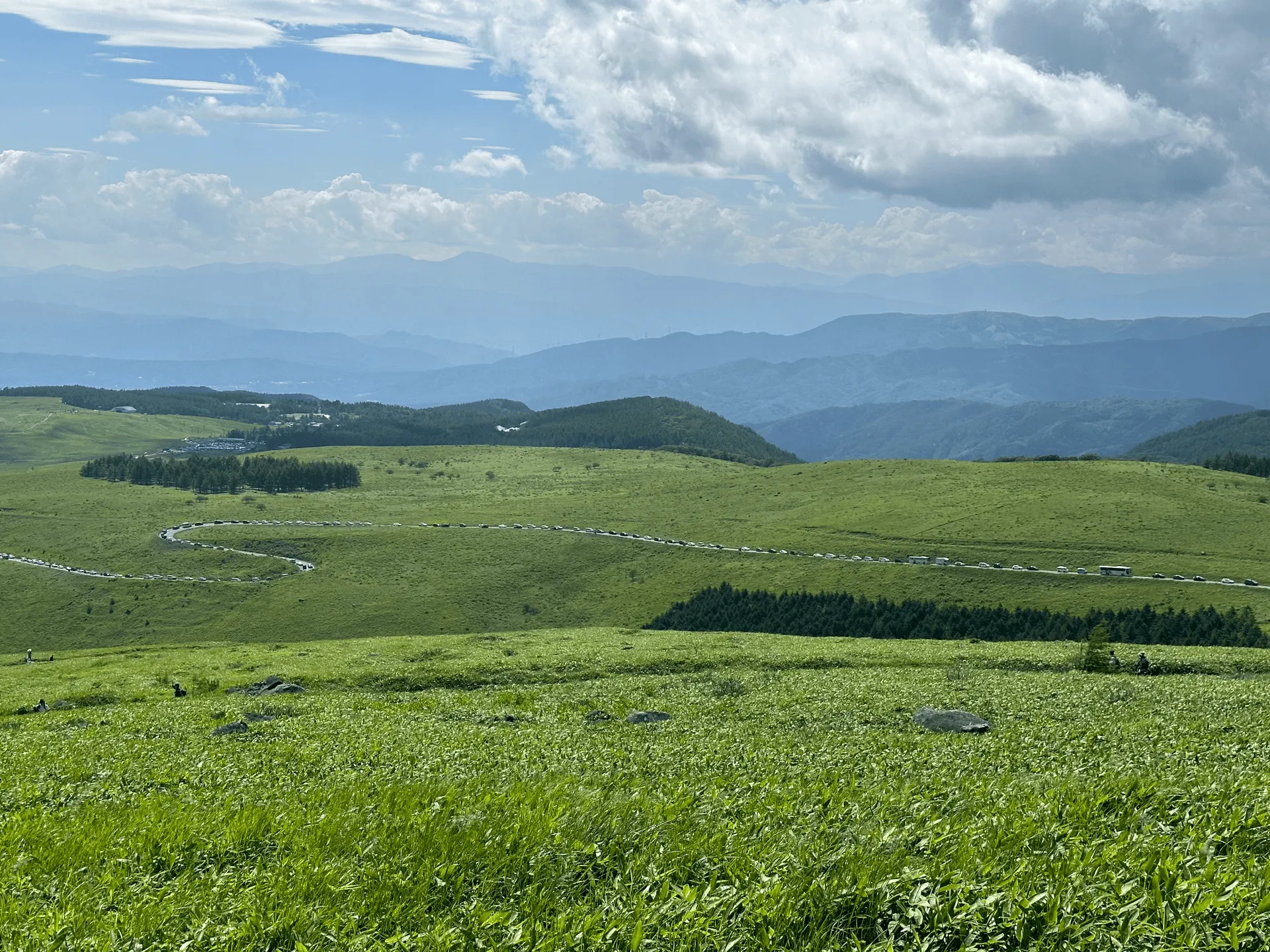
We ended up getting off one stop early, because getting off the bus and walking the 2.5km distance to our intended one was going to be a lot quicker than staying on the bus!
By the time we reached the trailhead, it was a bit after 12pm. Since it was such a hot summer’s day and the trail had absolutely no tree cover, it was hot. The most direct route to the summit and back can be done in under 2km and as quickly as 40 minutes, but we decided to go for the 6km loop course so we could at least get a bit of walking in.
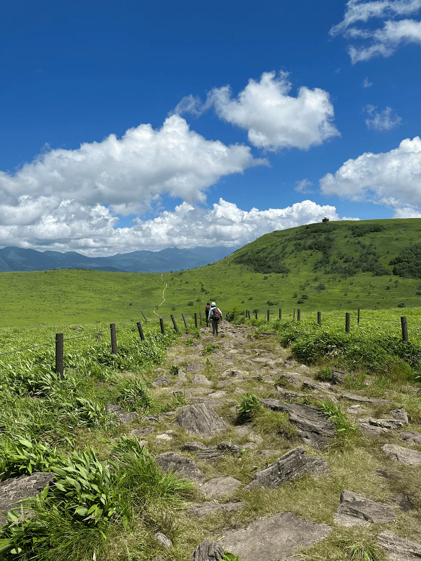
As we took the loop course, you could see a funny-looking building in the distance on top of the hill. That’s actually the summit, and the golf ball-looking building is apparently a weather radar.
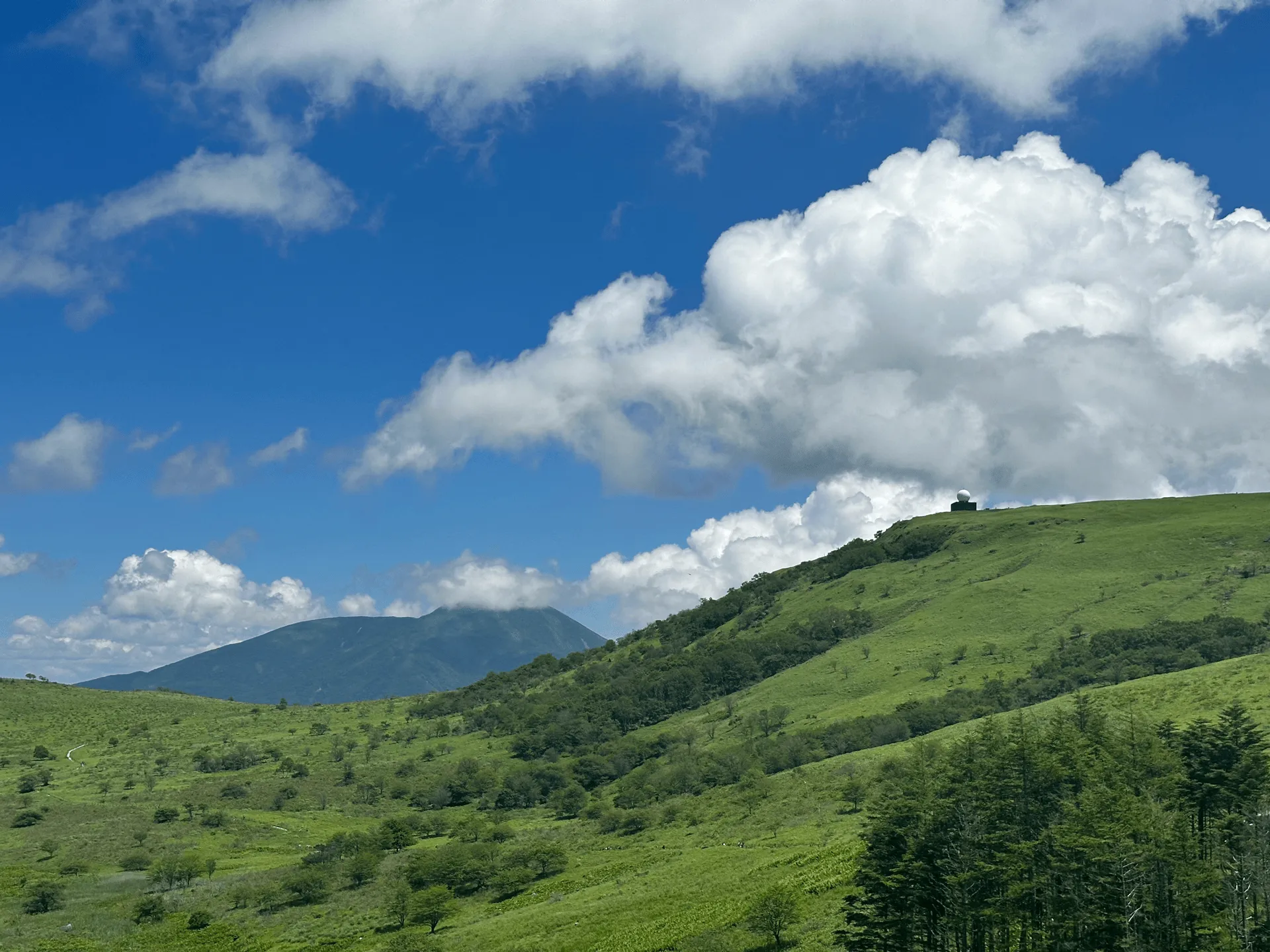
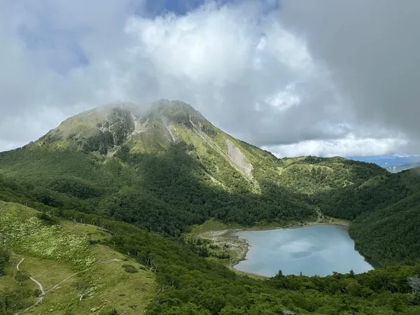
Mt Kirigamine doesn’t really feel like a mountain, but it is undeniably pretty with its vast green-ness. I would definitely love to return here and take its longer 10km loop course, but if I were to come in summer, coming here via car and starting much earlier is probably the better option.
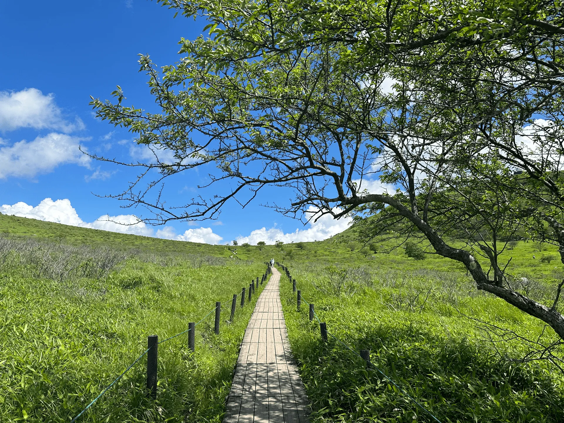
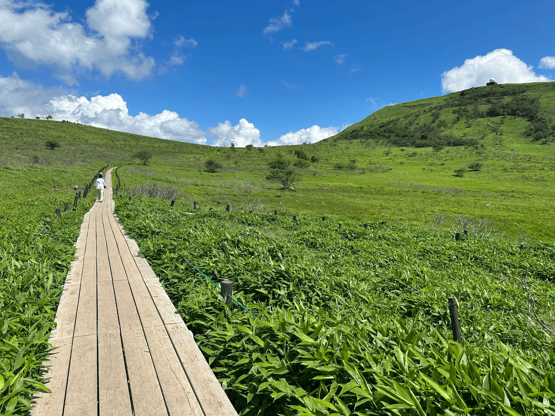
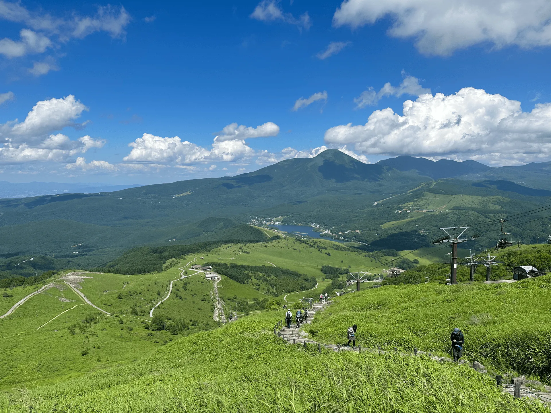
As we approached the summit, we got a closer look at the golf ball.
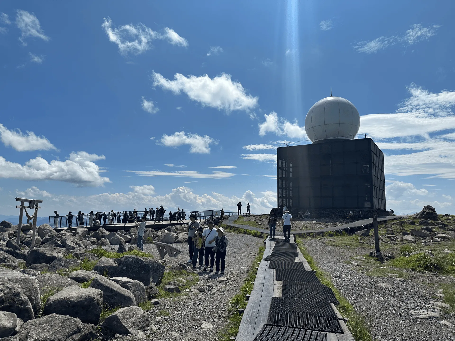
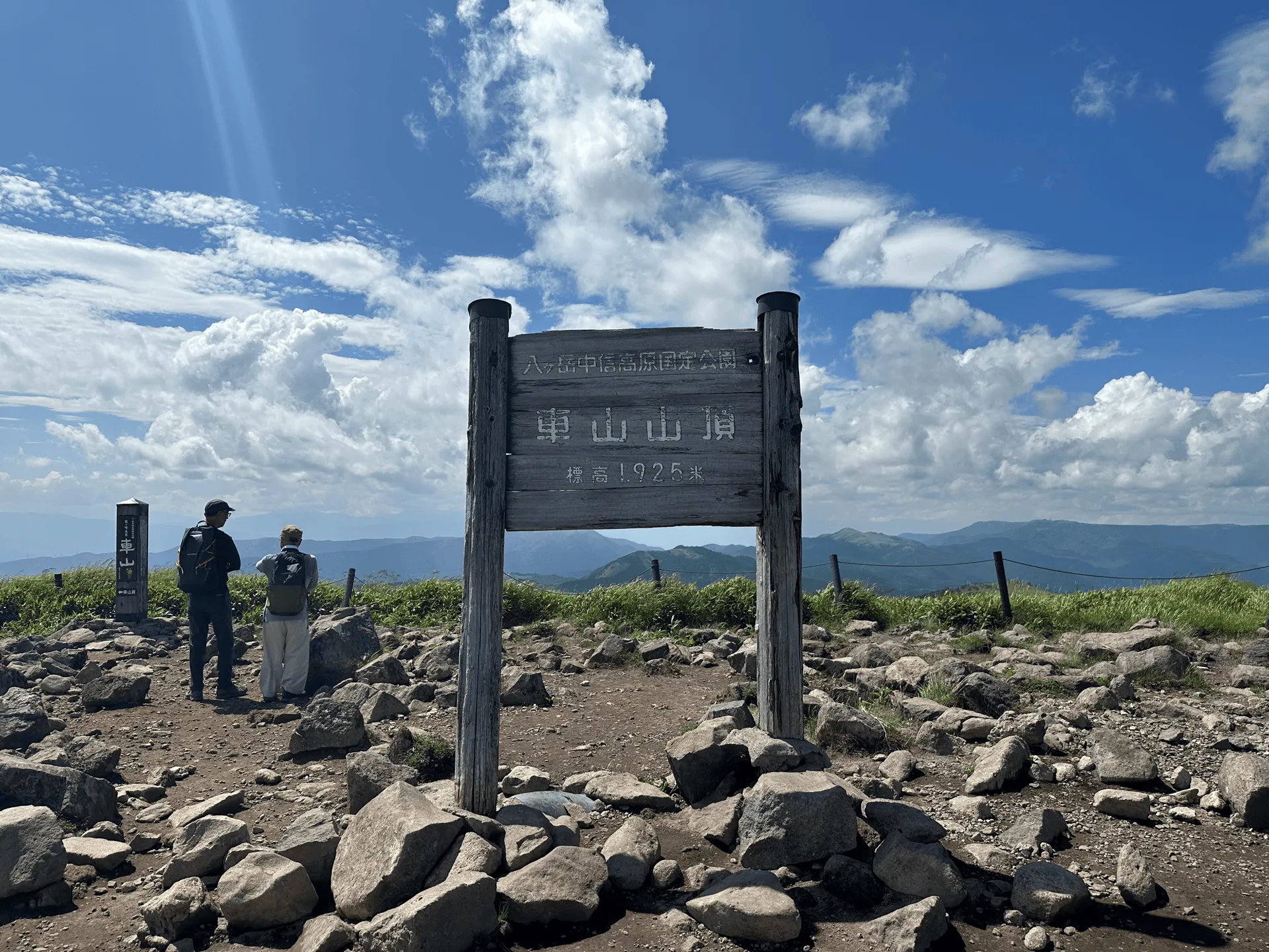
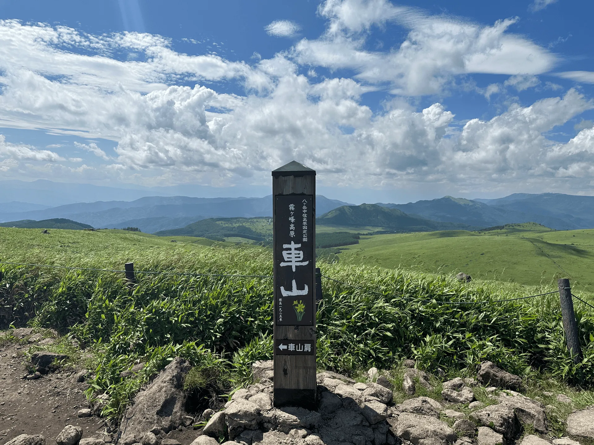
The actual peak of Mt Kirigamine is also known as Mt Kuruma (車山, kuruma-yama).
We got to see the famed Nikko Kisuge flowers on the tail-end of our course. I’ll admit I did feel a bit underwhelmed at first. They are all behind a fence (understandably), and you’ll probably have better chance of getting a good shot if you have a camera with a big zoom lens.
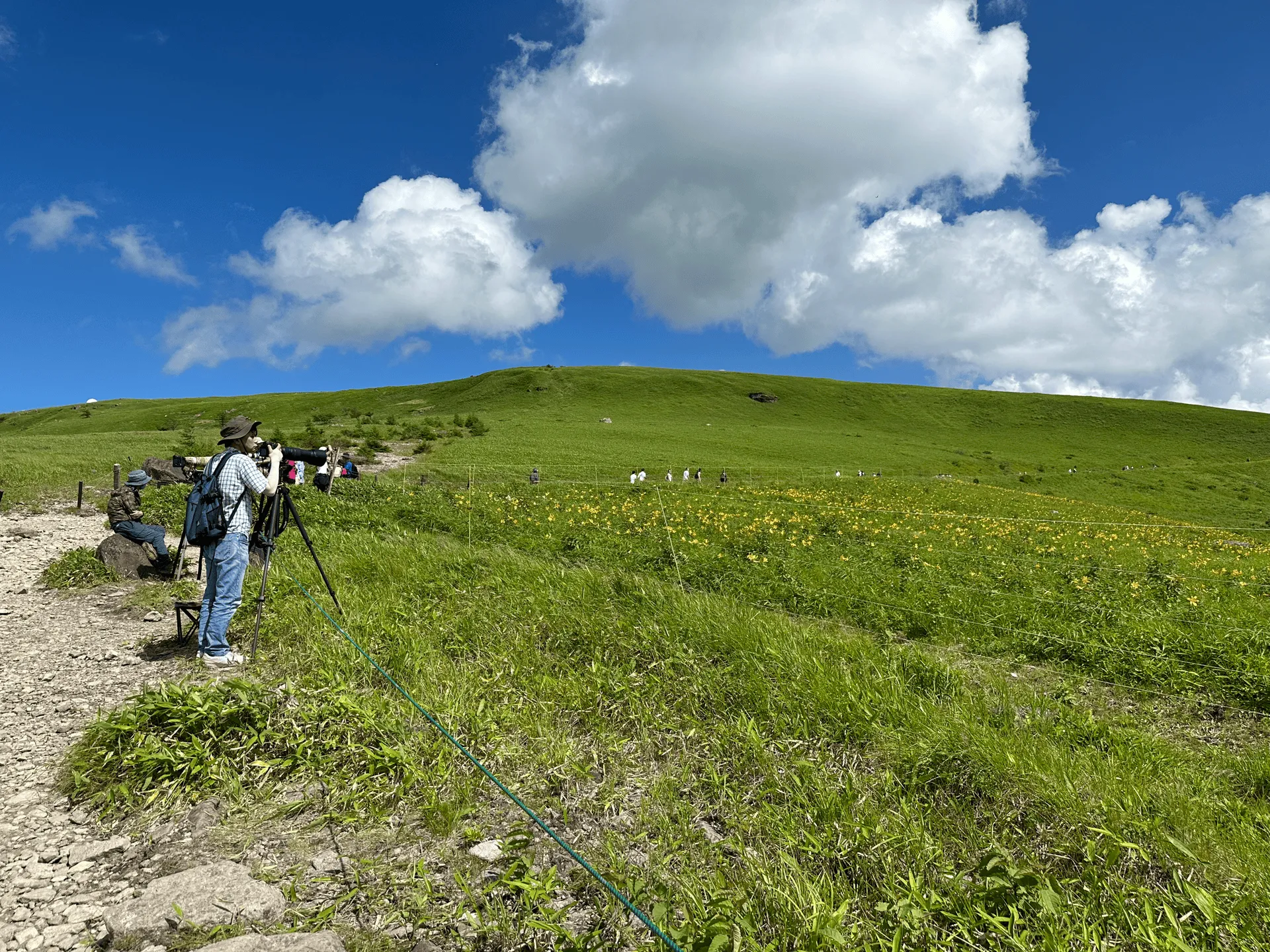
However if you find a good spot and put your phone up near the fence, there are still some good photo opportunities. Especially if you can get the weather radar station and the flowers in the same shot!

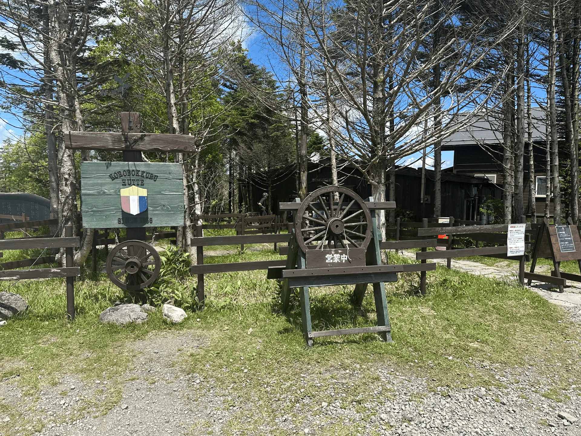
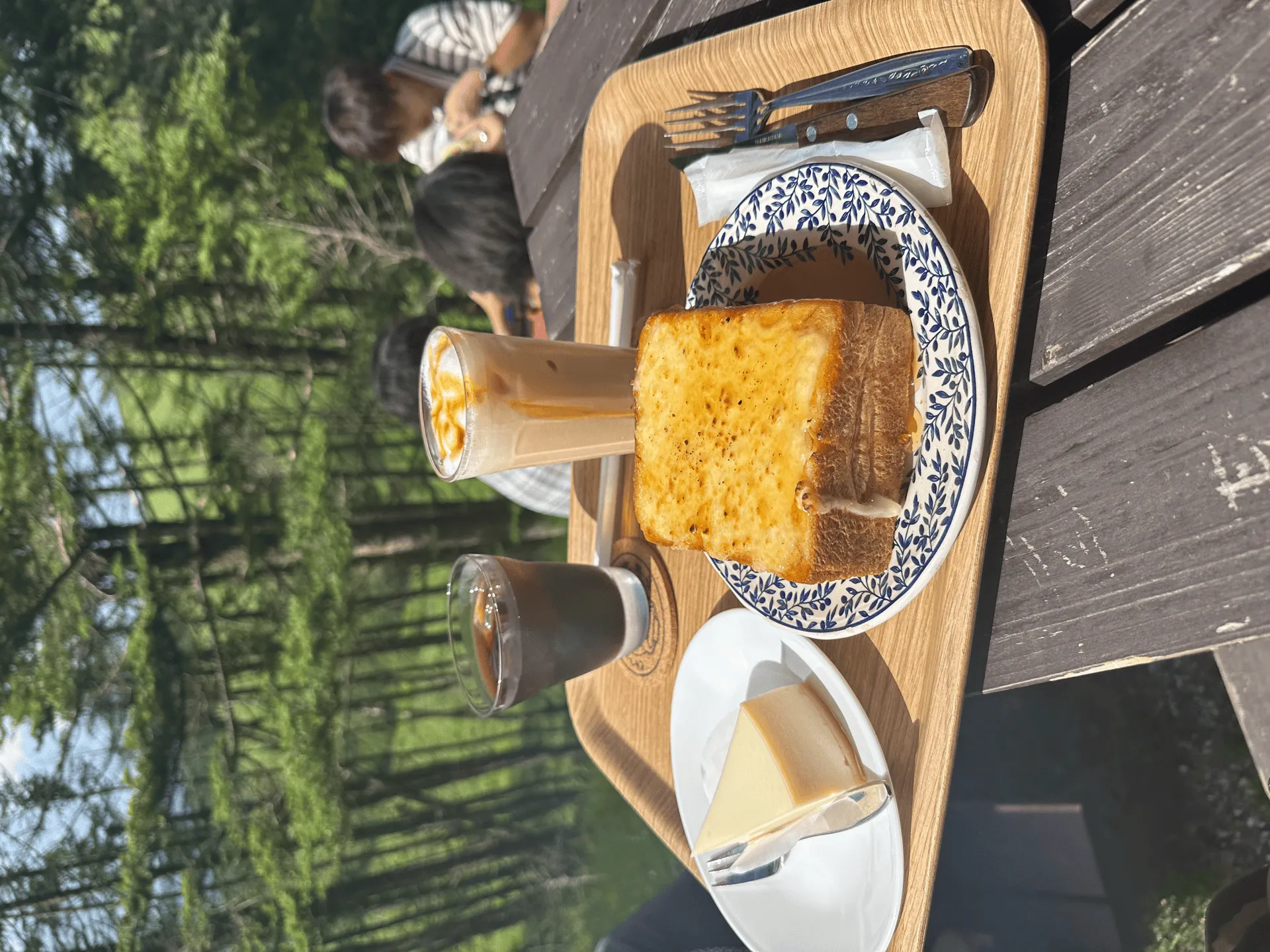
Before getting on our bus back to the train station, we also stopped by the famous Korobokkuru Hutte (ころぼっくるひゅって). They’re particularly well-known for their borscht and coffee set, although today I decided to get a honey cheese toast instead. Apparently the borscht was even featured in the camping anime/manga Yuru Camp. I’ll have to come back to try it some time.
Hiking course options
| Date climbed | Length | Course time |
|---|---|---|
| 2024-07-16 | 6km | 2h42min (the expected time for an average hiker without breaks) |
You have a couple of hiking course options available to you:
- The shortest possible course is a 1.7km out-and-back to the summit, which will only take you 40 minutes.
- The 6km loop course which will take you under 3 hours
- The 10km loop course which will take you 4.5 hours.
- There seems to a similar 11km course which has a tiny bit more elevation gain
Overall, I would say all of these courses are quite beginner-friendly. Mt Kirigamine’s vibe is more like a large open field where you take a long walk rather than a hardcore hike up a steep mountain.
Public transport access with itinerary
| Time | Location | Transport | Cost | |
|---|---|---|---|---|
| 06:13 | Tokyo station (東京駅) | Local train + express train | 5980 | |
| 09:13 | Kami-Suwa station (上諏訪駅) | |||
| 9:35 | Kami-Suwa station | Local bus | 1600 | |
| 10:45 | Kurumayama-kata (車山肩) |
The train to from Tokyo to Kami-Suwa station takes 3 hours, first with a 1 hour ride to Hachioji station, where you then need to transfer to the limited express train Azusa. You will need to buy your tickets for the Azusa in advance. This comes out to just under 6000 yen one-way.
If you wanted to save some money, it’s also possible to take a 4 hour train ride all the way to Kami-Suwa via local train. This will cost you 3740 yen one way.
Once you get to Kami-Suwa station, you’ll take a local bus to the trailhead. The Kirigamine bus line (霧ヶ峰線) runs from the end of April through to the end of October on weekends and public holidays. During the end of July through to the end of August, it runs every day. The bus was cash-only, so remember to bring enough spare change.
I couldn’t find the 2024 bus timetable as it seems to have gone offline, but I have based the itinerary on this hiking log from Yamareco here, which seems to have the bus depart at 9:35. From when I hiked in 2023, there was also a second bus that left at 10:35am.
There aren’t any timetables for 2025 yet, but when they do come online they should be available on the bus company’s website.
| Time | Location | Transport | Cost | |
|---|---|---|---|---|
| 15:28 | Kurumayama-kata (車山肩) | Local bus | 1600 | |
| 16:30 | Kami-Suwa station | |||
| 16:14 | Kami-Suwa station | Train | 5980 | |
| 19:05 | Tokyo station | |||
| Trip total: | 15160 |
Car access details
| Car park | Time (from Tokyo) | Round trip cost |
|---|---|---|
| Kuruyamakata carpark (車山肩駐車場) | 3h | ~11300 yen |
Mt Kirigamine is accessible by car, and has a free carpark near the trailhead. However when I visited during July, I could see ridiculously long lines for its car park. I suspect you may be waiting for hours, depending on what time of day you come. If you really want to come in July, I recommend arriving very early if you can, or even better, on a weekday.

When to hike Mt Kirigamine
If you want to hike Mt Kirigamine without snow, its hiking season is between May and October. It’ll see its first snow sometime in November - December, and the snow will begin to melt in April - May. If you’re looking to hike in those borderline months and are not quite sure if there’s snow, I recommend checking out the latest hiking entries on YAMAP to see the trail conditions before you go.
If you want to time your hike to come see the yellow Nikko Kisuge flowers, I recommend typing “霧ヶ峰のニッコウキスゲ” into Google and trying to find a website that is providing estimated flowering times as the time they can bloom can change a little bit each year. In 2023, around mid-July was the peak flowering time, and in 2024 according to one site it was between the 5th and 20th of July.
Leave a comment