Mt Kobushi (甲武信ヶ岳, kobushi-gatake) is a Hundred Famous Mountain located on the border of three prefectures - Nagano, Saitama and Yamanashi. It’s a part of the Okuchichibu Mountains, which includes other famous mountains like Mt Kumotori and Mt Mizugaki.
I wanted to do this as a daytrip from Tokyo, however since it is over 3 hours away by car, I started my drive at around 3:30 in the morning. Although it hadn’t been forecast to rain when I checked the night before, it began to rain mid-drive, and I ended up starting the hike in some light rain.
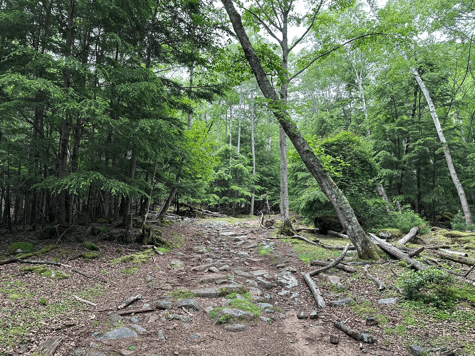
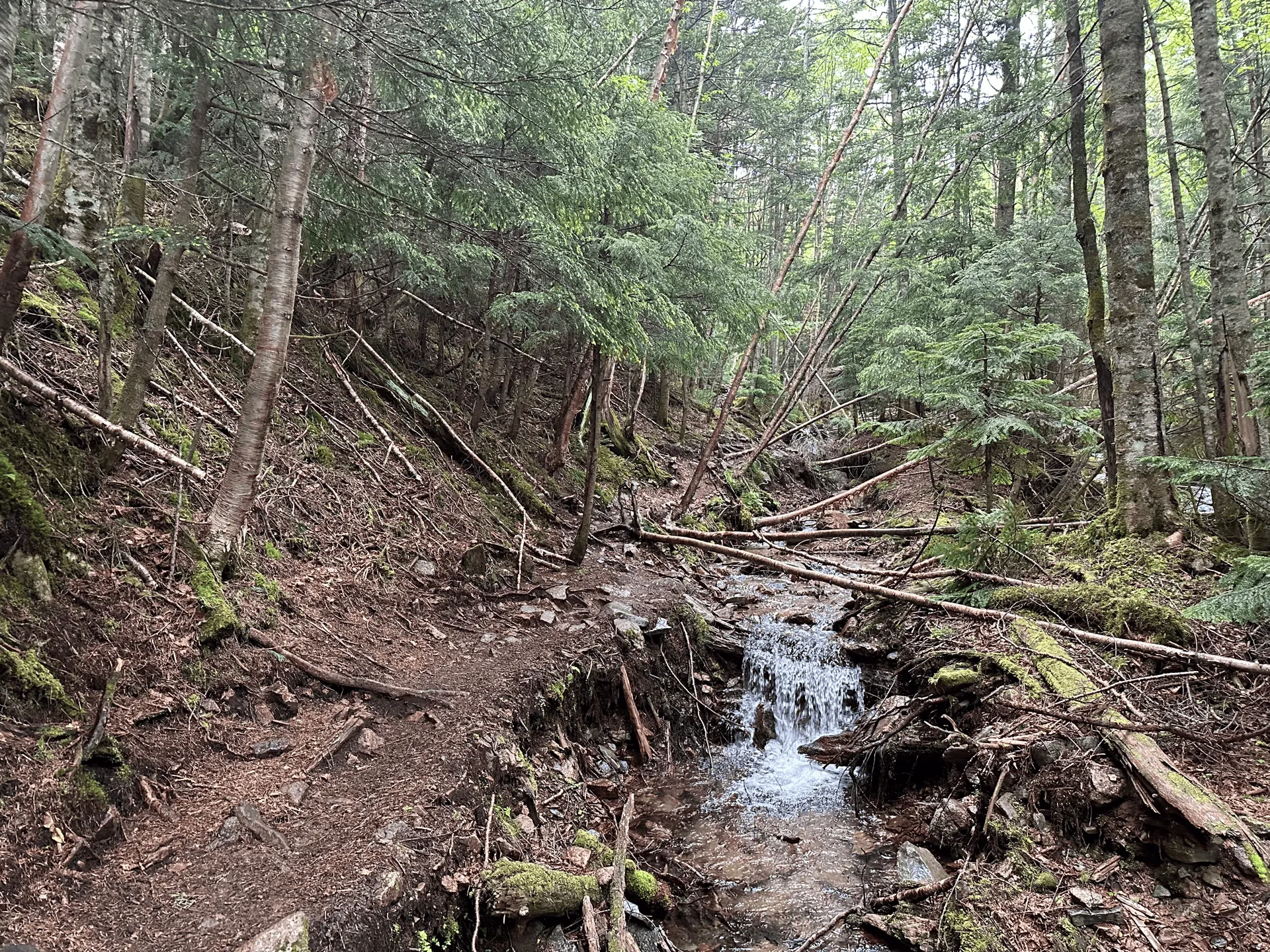
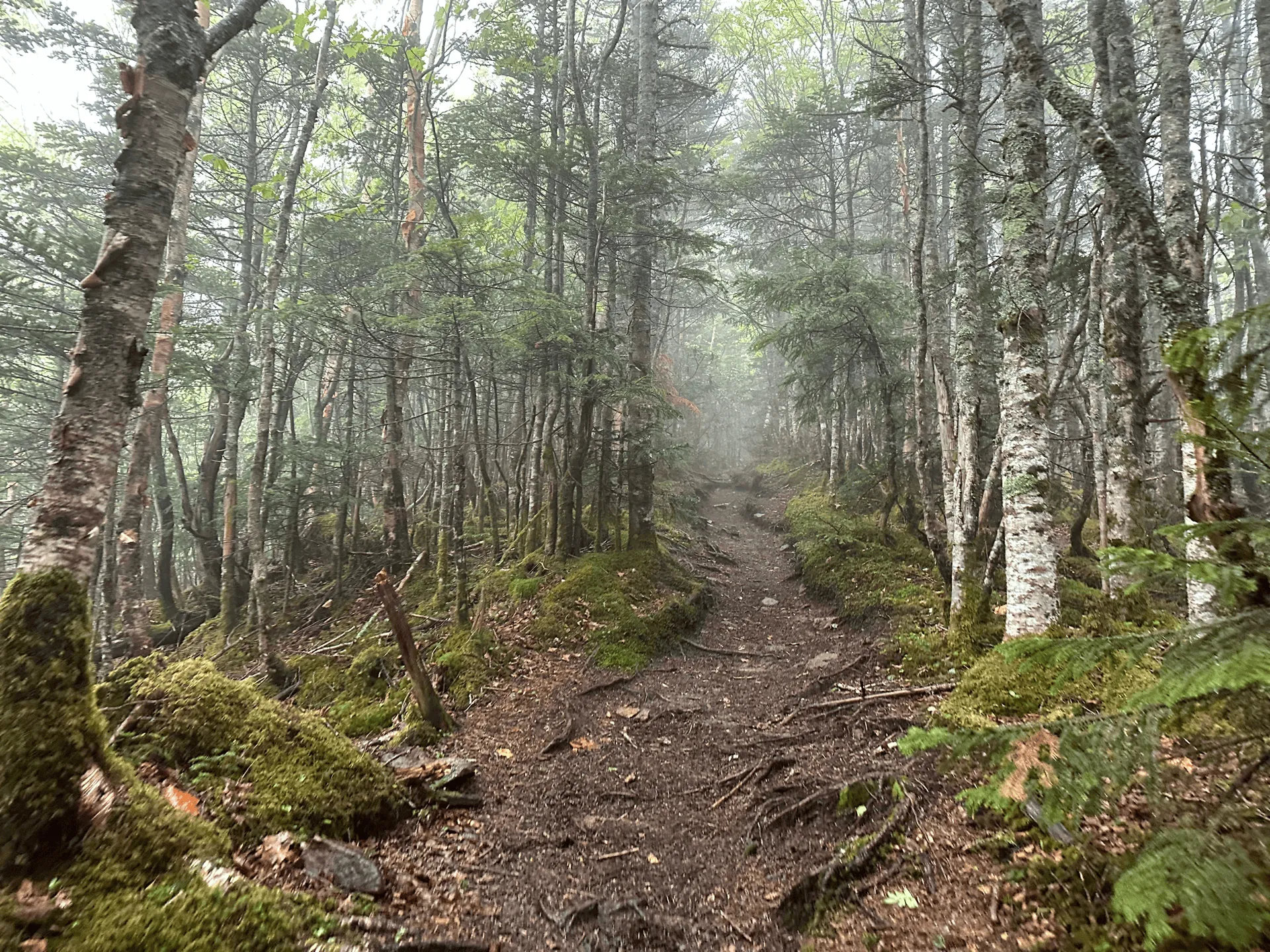
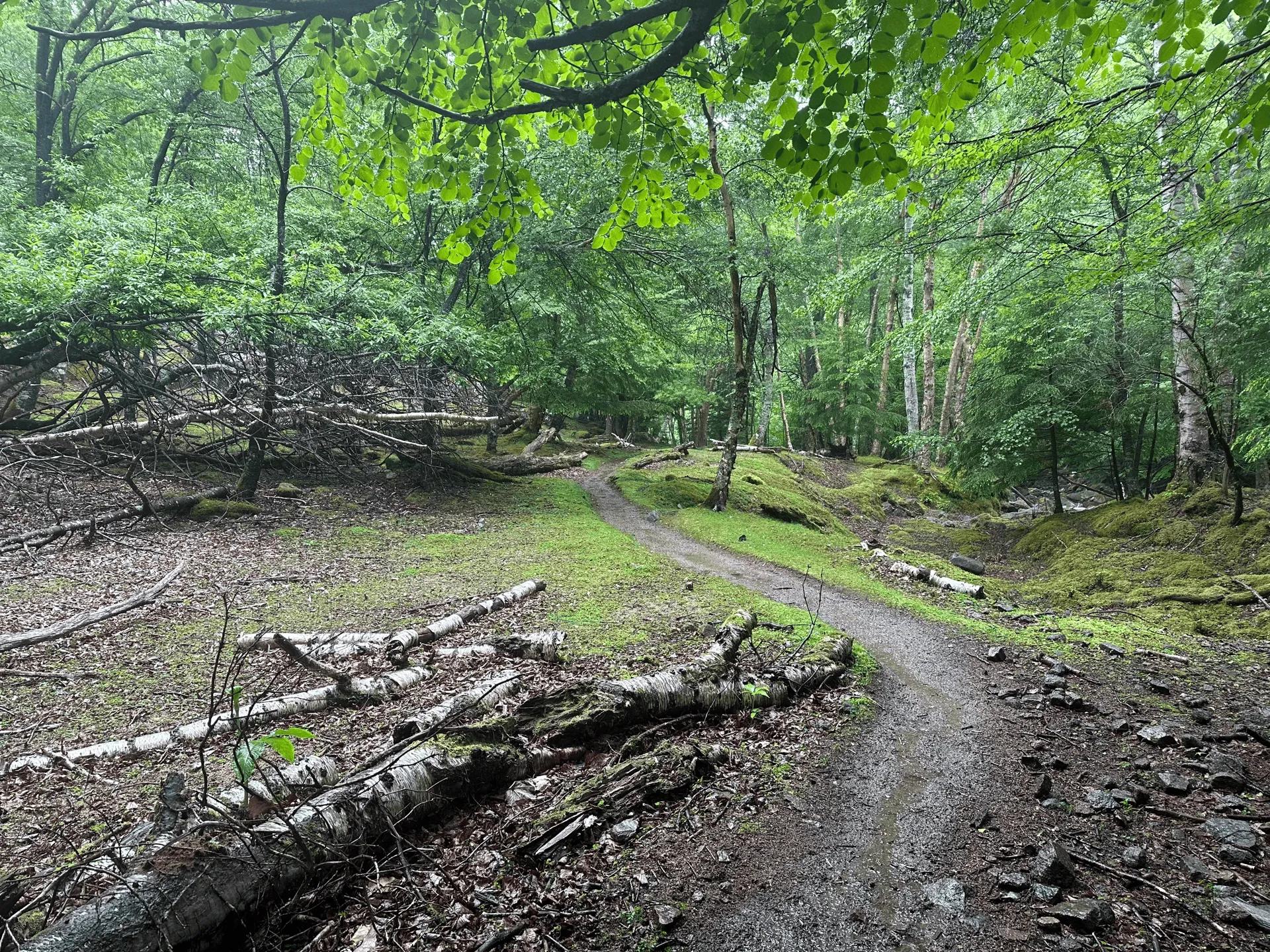
Luckily the tree cover towards the start of the trail meant that I didn’t get very wet.
The day I hiked this mountain (towards the end of June) actually coincided with the start of the rainy season in the Kanto area, which probably explains why the weather turned out to be a bit unpredictable!
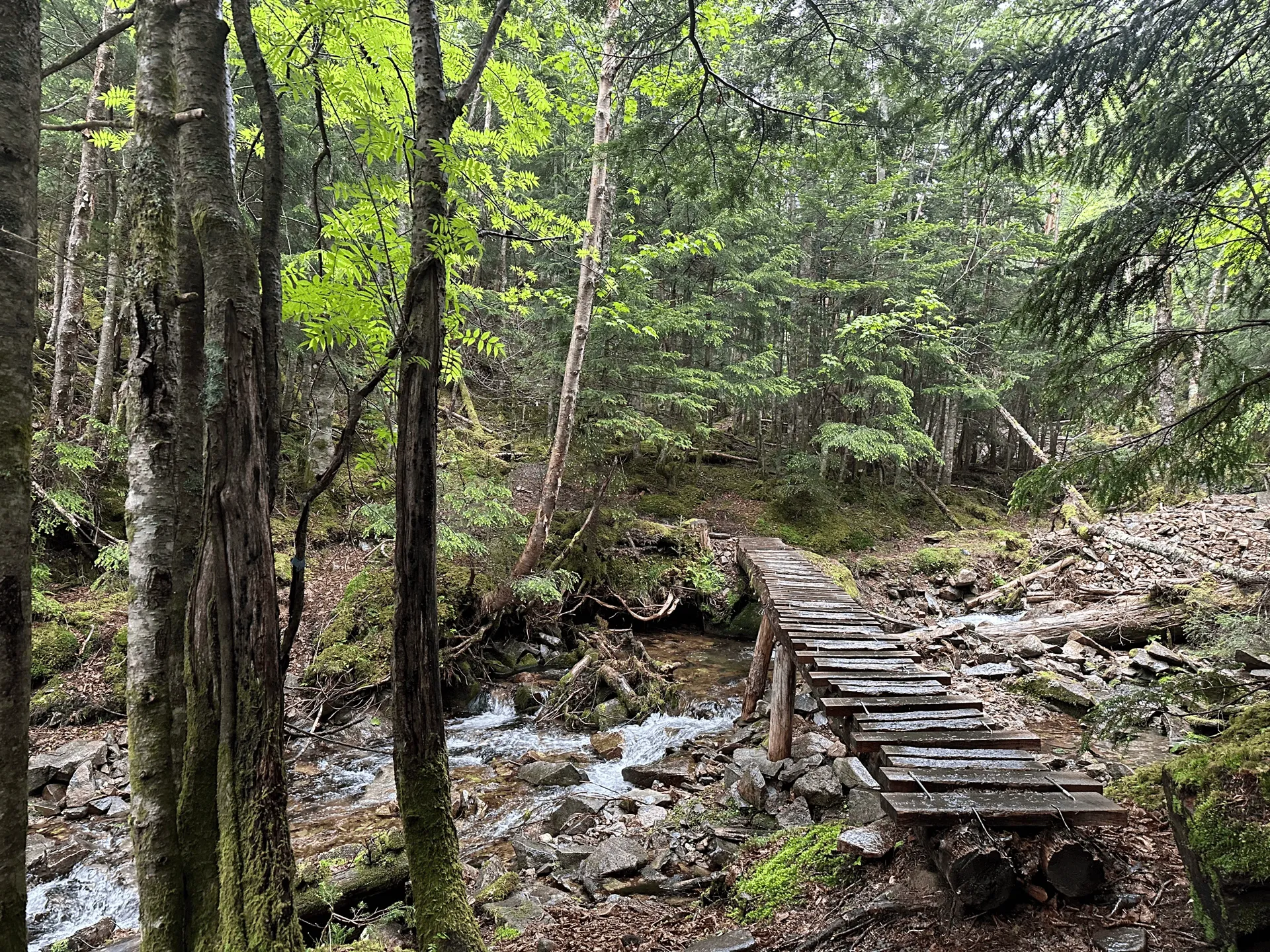
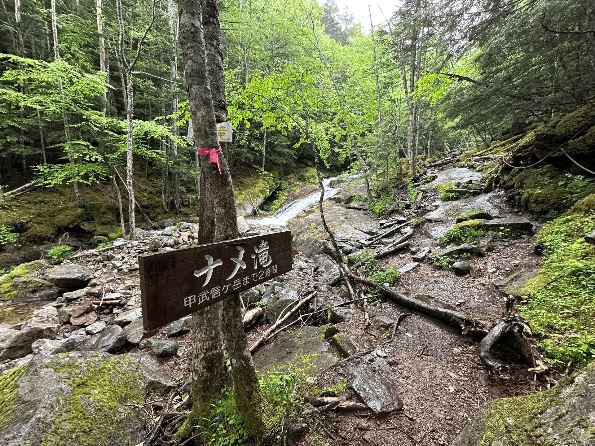
The trail is 14km long and has 1050m of elevation gain. Although it’s a fair amount of elevation, since it’s spread out over 14km it was surprisingly comfortable to walk along. A lot of the trail was a smooth dirt path, and I quite enjoyed walking alongside the river and being amongst all the greenery.

In the second half of the climb up, the tree coverage lessened, and I started to feel the wetness soak through my rain jacket.
Not thinking it was going to rain, unfortunately I had made the rookie mistake of packing my not-very-waterproof rain jacket, which I was planning on just using as a windbreaker if it got cold. (My actually more-waterproof jacket is very thin in comparison).
I think I’ve also gotten too used to the idea of packing light after always taking public transport to the mountains, but now that I have a car, I should be taking advantage of bringing along more gear just in case, since I can always leave it in my car. I’ve definitely learnt my lesson!
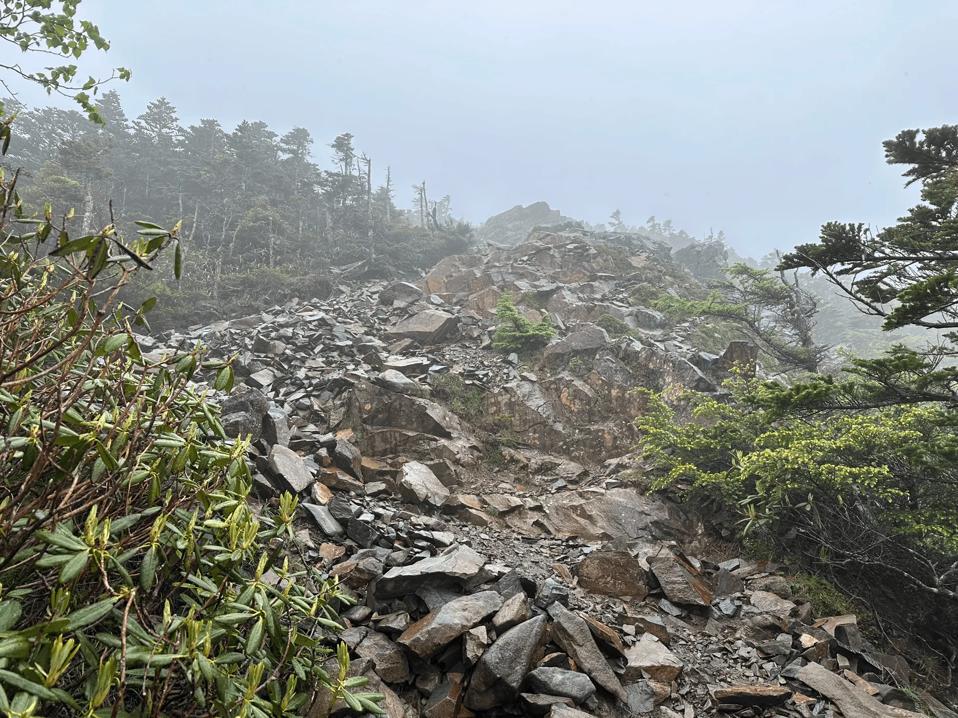
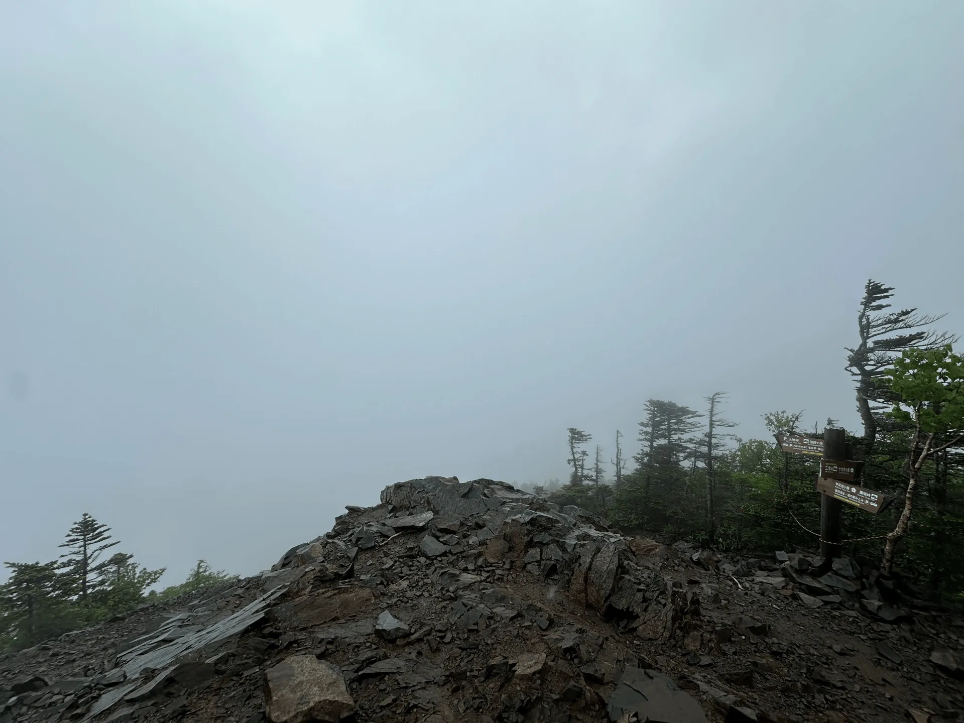
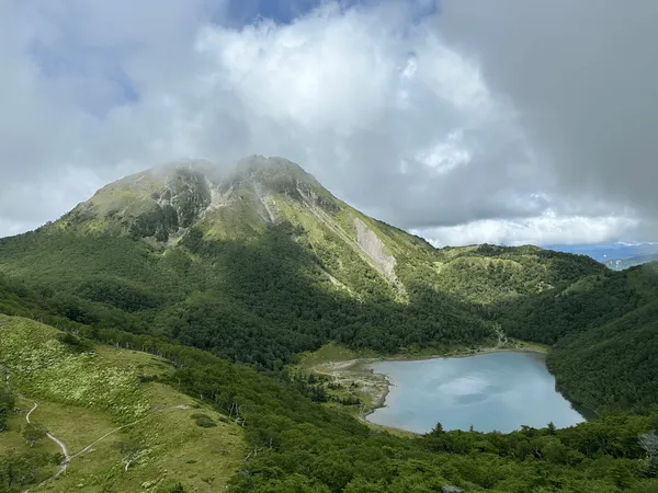
Near the summit, you exit the tree coverage and it’s a scramble up some steep rocks. The view is pretty good from here on a clear day and there’s even the opportunity to spot Mt Fuji - however with the fog I wasn’t able to see anything at all.
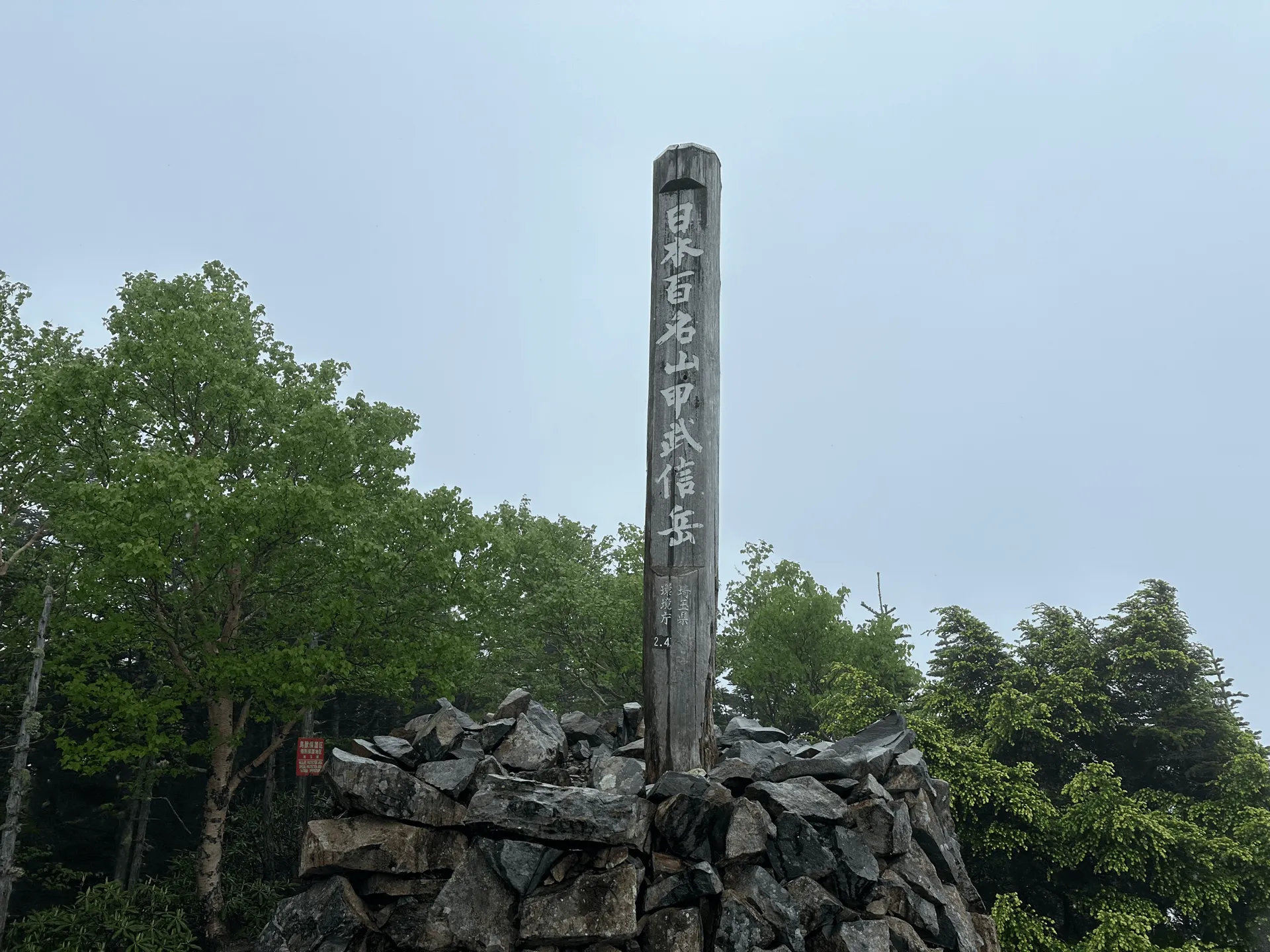
I carefully navigated my way to the top over the wet rocks, snapped a quick picture at the peak marker and then it was back down the same way again.
The wet wasn’t pleasant, and on the climb down I was daydreaming about a properly waterproof rain jacket.
As I finished my hike and existed the forest, I ran back across the carpark, now in the pouring rain, back to my car.
Once I returned to the warmness of my car, I actually felt pretty good - like I had conquered the rain. I figured if I had the proper rain gear I may have been able to enjoy the experience more, and felt optimistic about trying rain hiking again.
I did end up getting that opportunity with my next mountain, Mt Hotaka, where I got rained on as well (curse this rainy season!)
Hiking course details
| Date climbed | Length | Course time |
|---|---|---|
| 2024-06-21 | 14.3km | 7h20min (the expected time for an average hiker without breaks) |
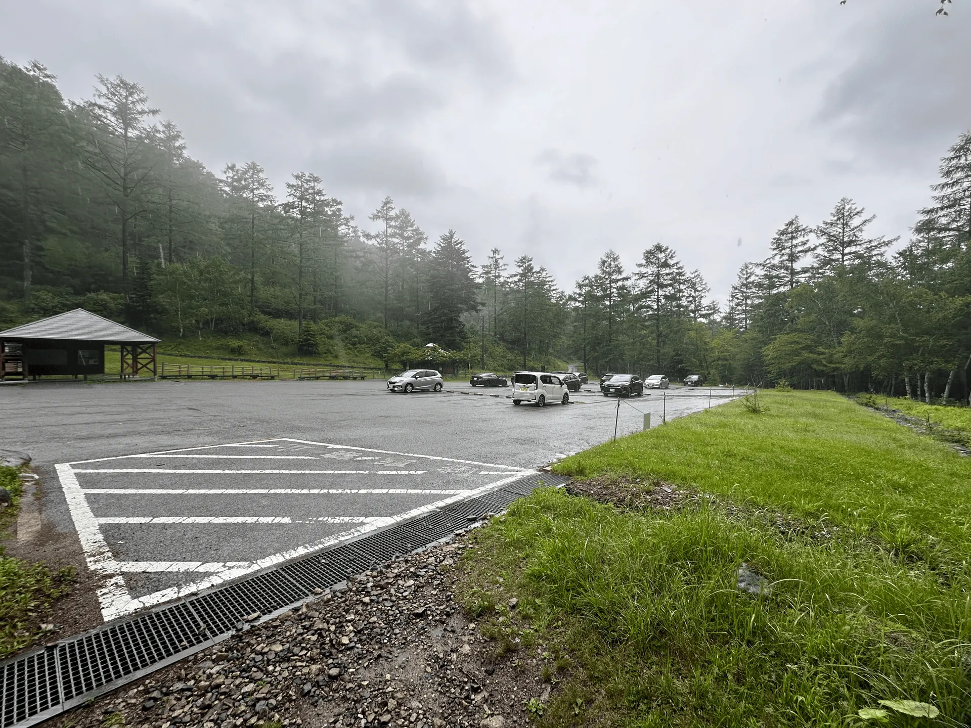
This course was an out-and-back course starting at the Mogidaira trailhead (毛木平登山口).
Although the trail is long, it felt easier than expected as the elevation gain is spread out, and the trail is quite walkable.
There is absolutely no phone reception here or anywhere along the trail, so make sure to arrive with GPS maps pre-downloaded. There is a (very clean!) toilet available at the trailhead.
Public transportation access
The course is quite long and the mountain is far from Tokyo, so I wouldn’t recommend or consider this as a daytrip accessible mountain from Tokyo if you are coming via public transport.
If you were to attempt this as a daytrip without a car, the only feasible option is from the Nishikawa Keikoku trailhead (西沢渓谷入口). The bus from Enzan station (塩山駅) would drop you off at the trailhead at 09:30, and then the last bus back from the trailhead departs at 15:40, which gives you 6 hours of hiking time.
However, the hiking course is expected to take you 9.5 hours. So you would have to be very, very fast and confident in your hiking abilities to pull this one off. Instead, the Kobushi mountain hut (甲武信小屋) is near the summit, so the bus timetable is more designed for those hikers looking to spend a night before heading back home.
If you wanted to spend a night or two near Enzan station and were looking for a second mountain to climb, I would also recommend Mt Kentoku (乾徳山) which is another popular mountain in the area and with bus access from the station.
Car access details
| Car park | Time (from Tokyo) | Round trip cost |
|---|---|---|
| 毛木場駐車場 (Mogidaira carpark) | 3h30min | ~12100 yen |
Even though it was a Friday and it was rainy, there were already 10+ cars at the trailhead when I arrived. I expect this to be quite a popular mountain, looking at how large the carpark is.
Leave a comment