- Elevation 1787m
- When to climb
Mountain stats
Following on from my hike at Mt Sobo, the second 100 Famous Mountain that I climbed in my Kyushu trip last November was Mt Kuju (久住山, kuju-san). I also made a detour to the neighbouring Mt Nakadake, the highest peak in mainland Kyushu.
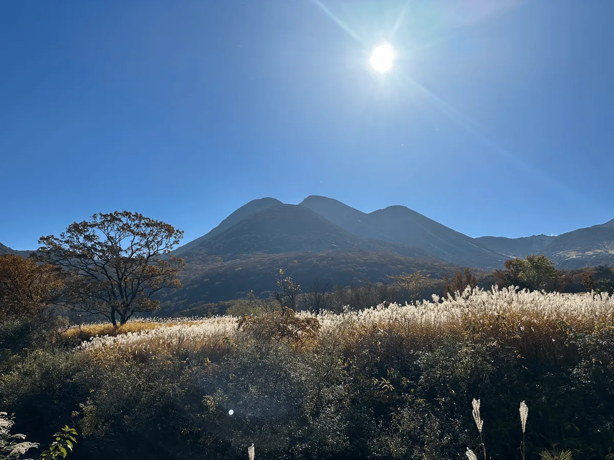
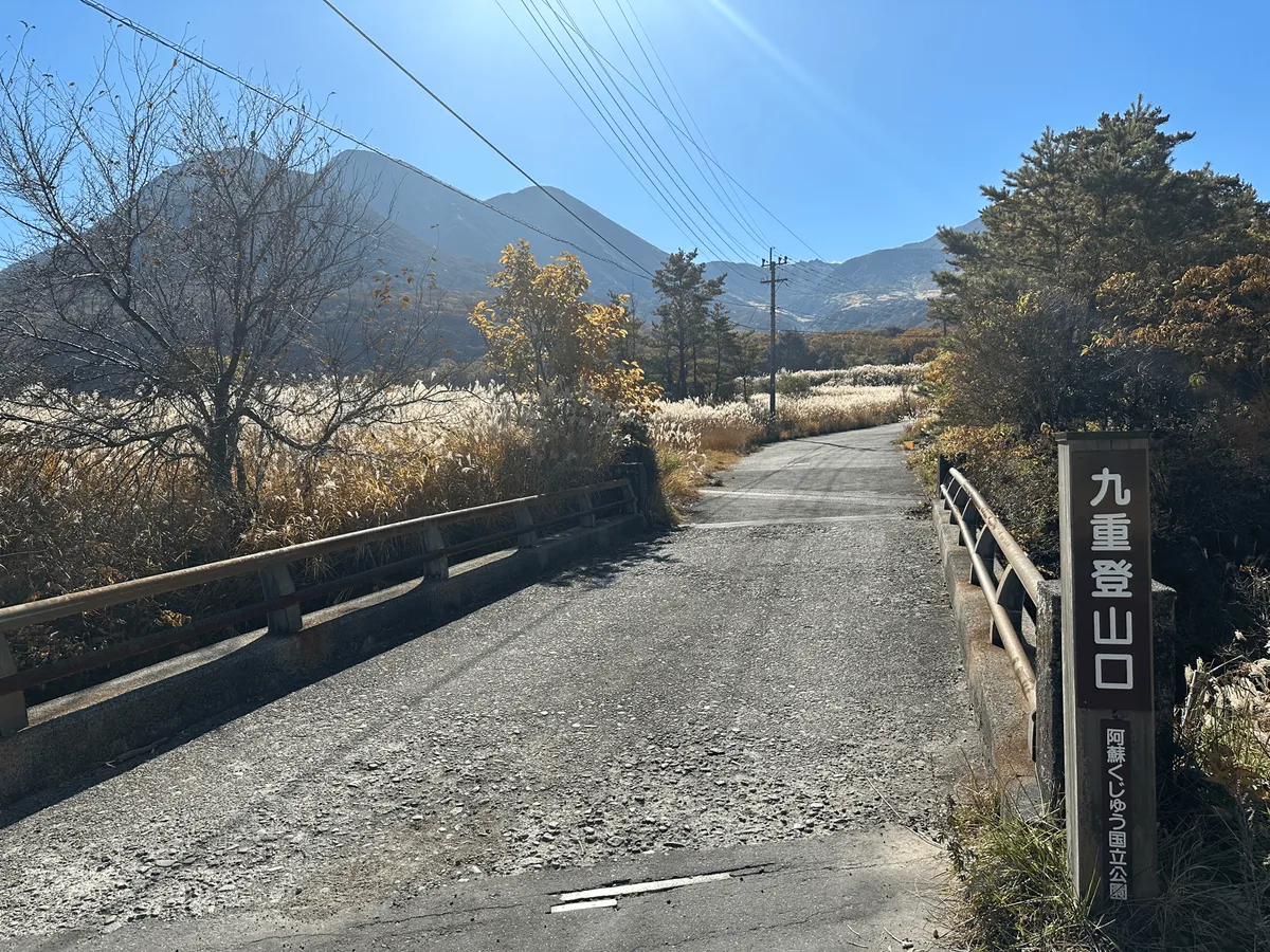
I started my hike from the main Kuju trailhead (くじゅう登山口) and ended at the Makinoto-toge trailhead (牧ノ戸峠). There’s a limousine bus service that conveniently passes by both of these trailheads on the way towards Kumamoto, which makes this hike pretty accessible via public transport.

Towards the start of the trail I passed Mt Mimata (三俣山), which basically looked like a really large hill.
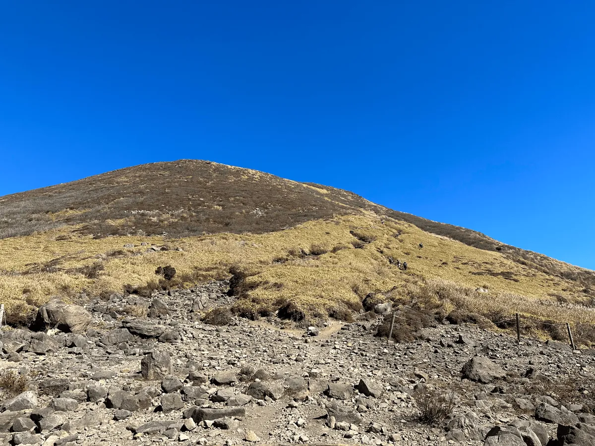
Sometimes when I see a peak, I just wanna climb it. Unfortunately my hike was constrained by the bus timings so I didn’t have the time to make the detour. There’s a total of 17 peaks in the Kuju mountain range, and there’s a digital YAMAP badge you can collect if you climb all of them. Some people try and do the entire 21km course as a 1 day challenge, or do it with a one night camp in betwen. I’d love to come back one day to climb them all!
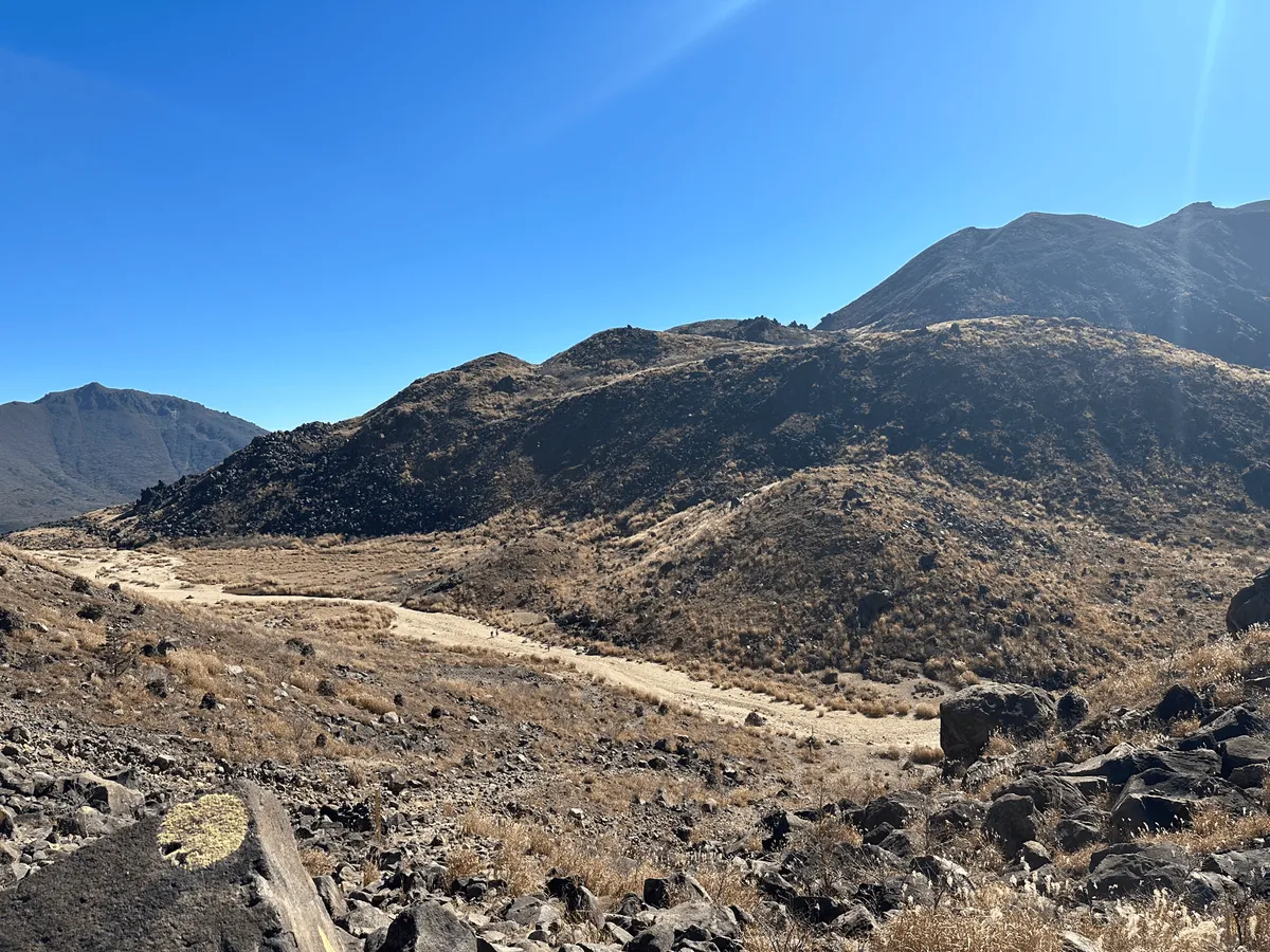
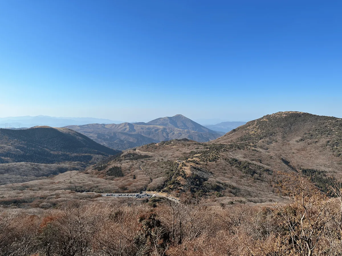
After a climb amongst some rocky terrain, you descend down into a small valley. For a while here you walk along a flat trail surrounded by volcanic mountains. I’m not sure the pictures do it justice but it really was such a gorgeous view.

This was by far my favourite part of the trail, and honestly one of my favourite hikes in 2023 as well. I spent most of the climb up to Mt Kuju grinning like an idiot. I think I definitely have a bias towards enjoying volcanoes, because I really liked Mt Chausu as well.
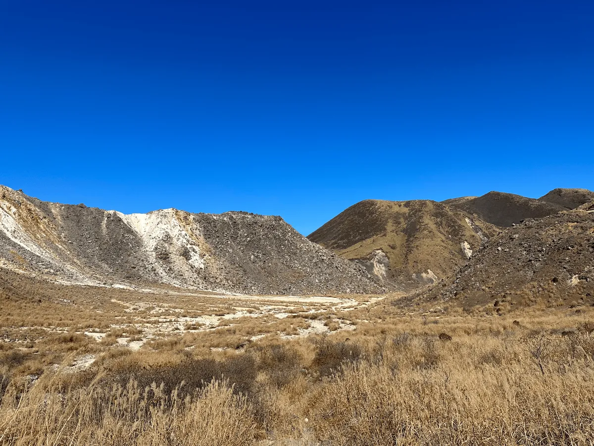
Once you pass through the valley, you climb back up onto the mountain ridge.
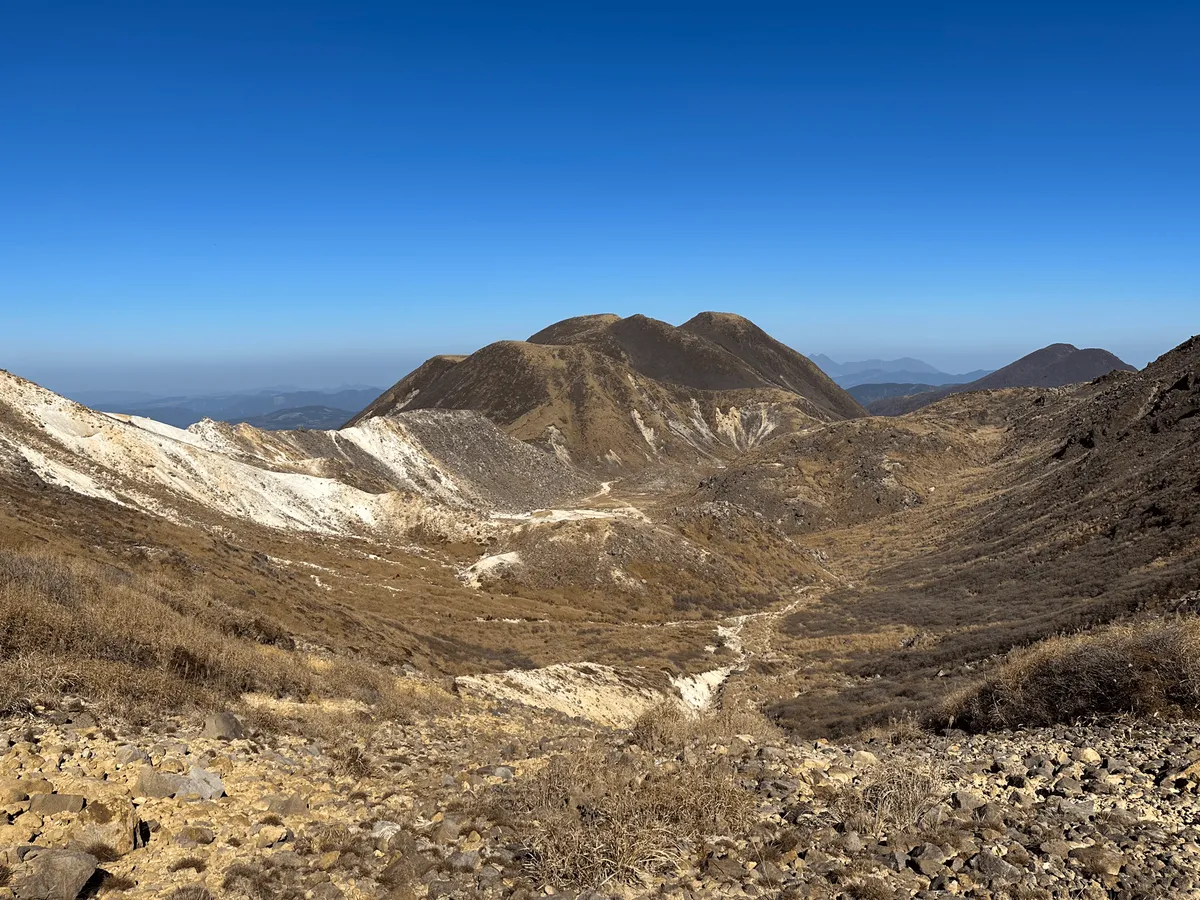
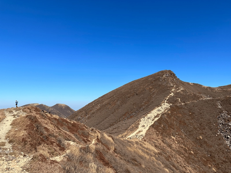
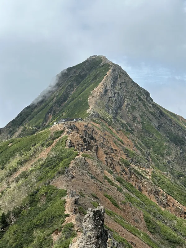
From here, you can see the peak of Mt Kuju in the distance (if you look really closely, there are tiny people among the top of the ridge like ants).
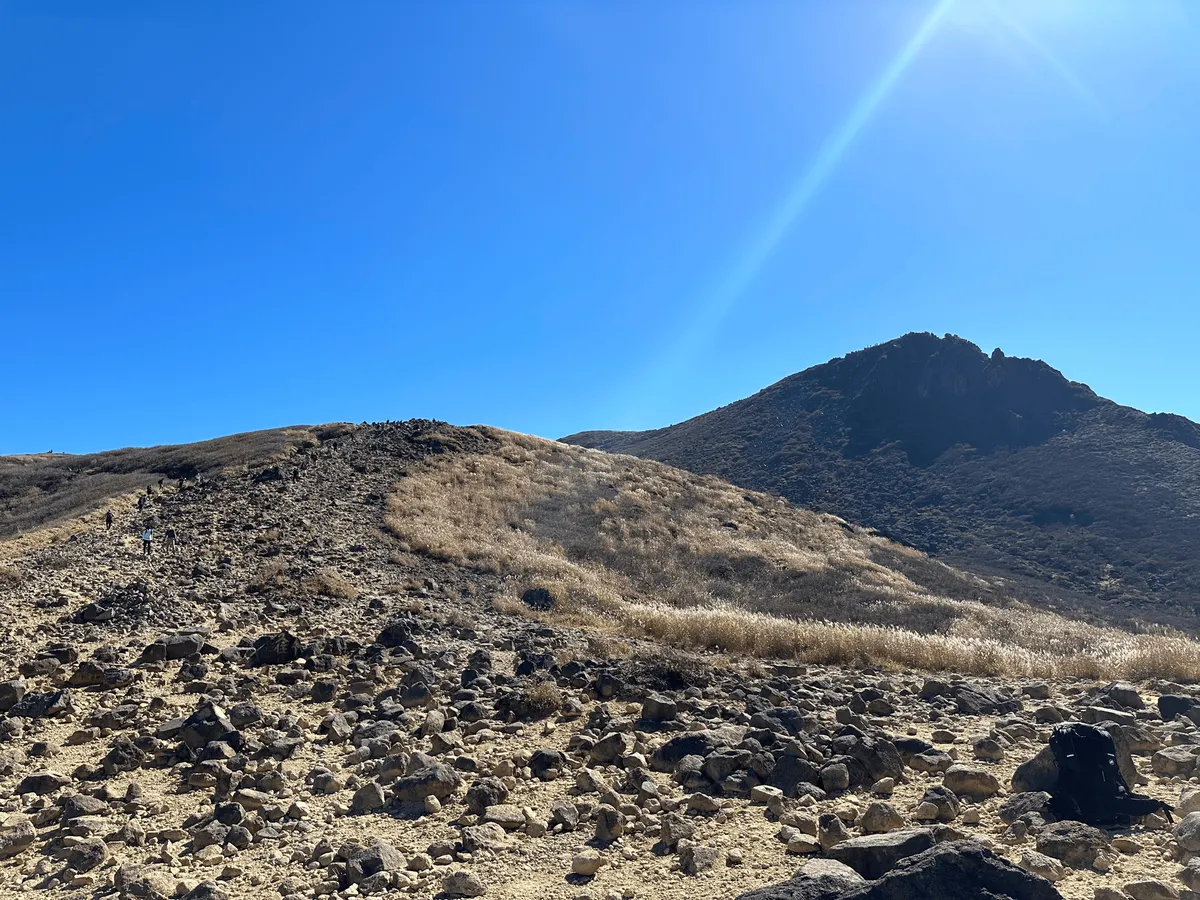
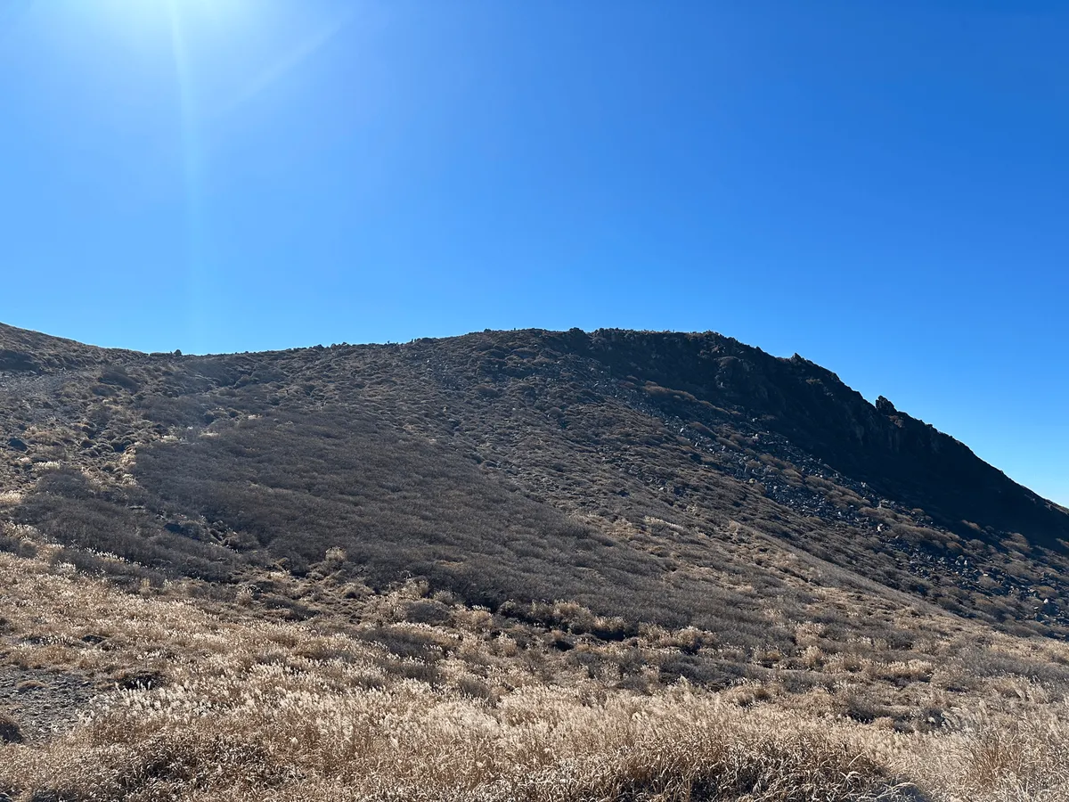
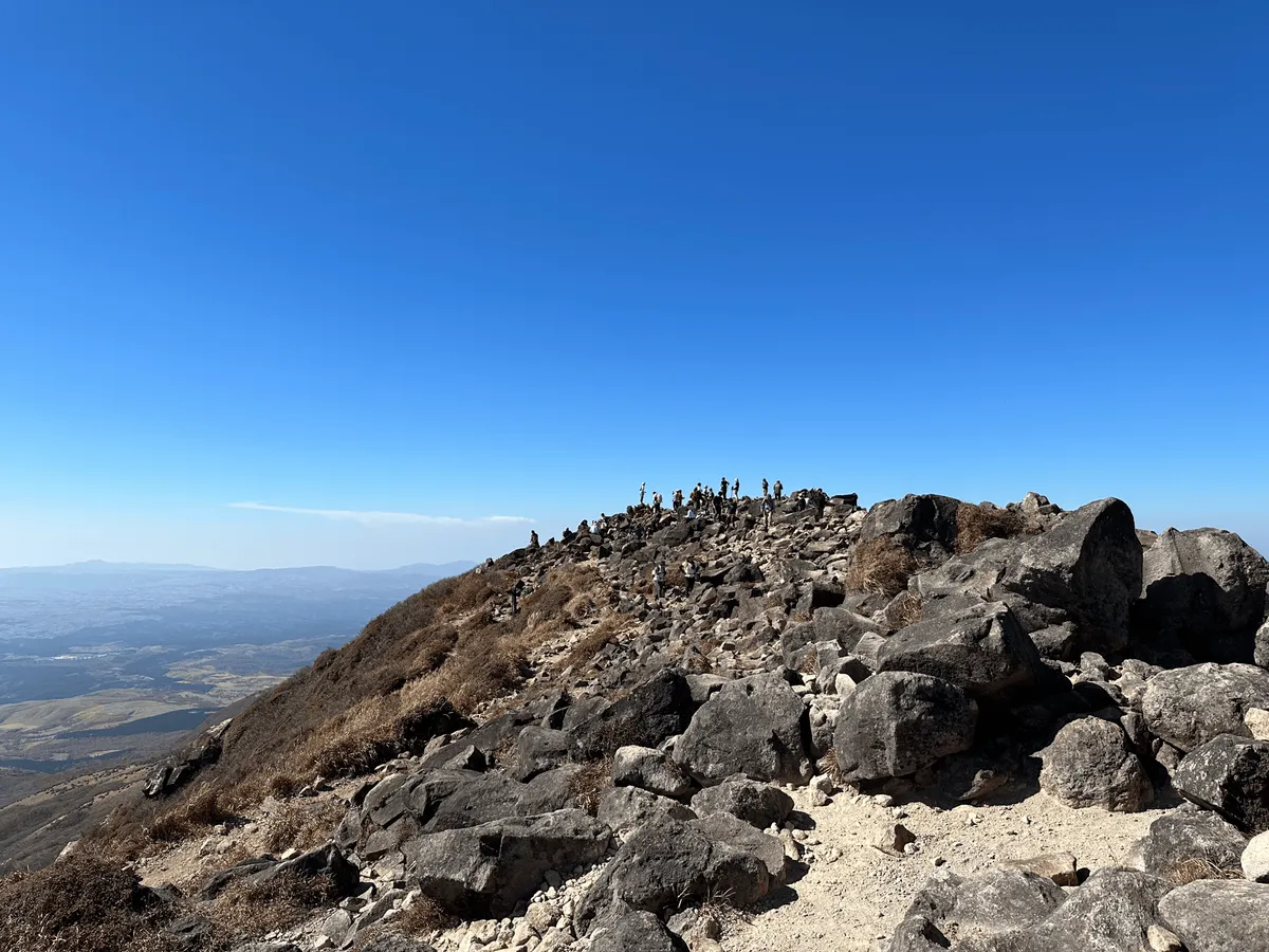
As you approach and see the large cluster of hikers, you know you’ve reached the summit!
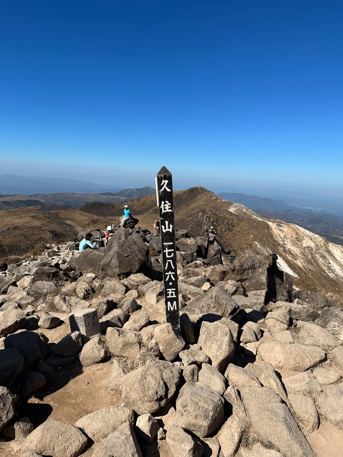
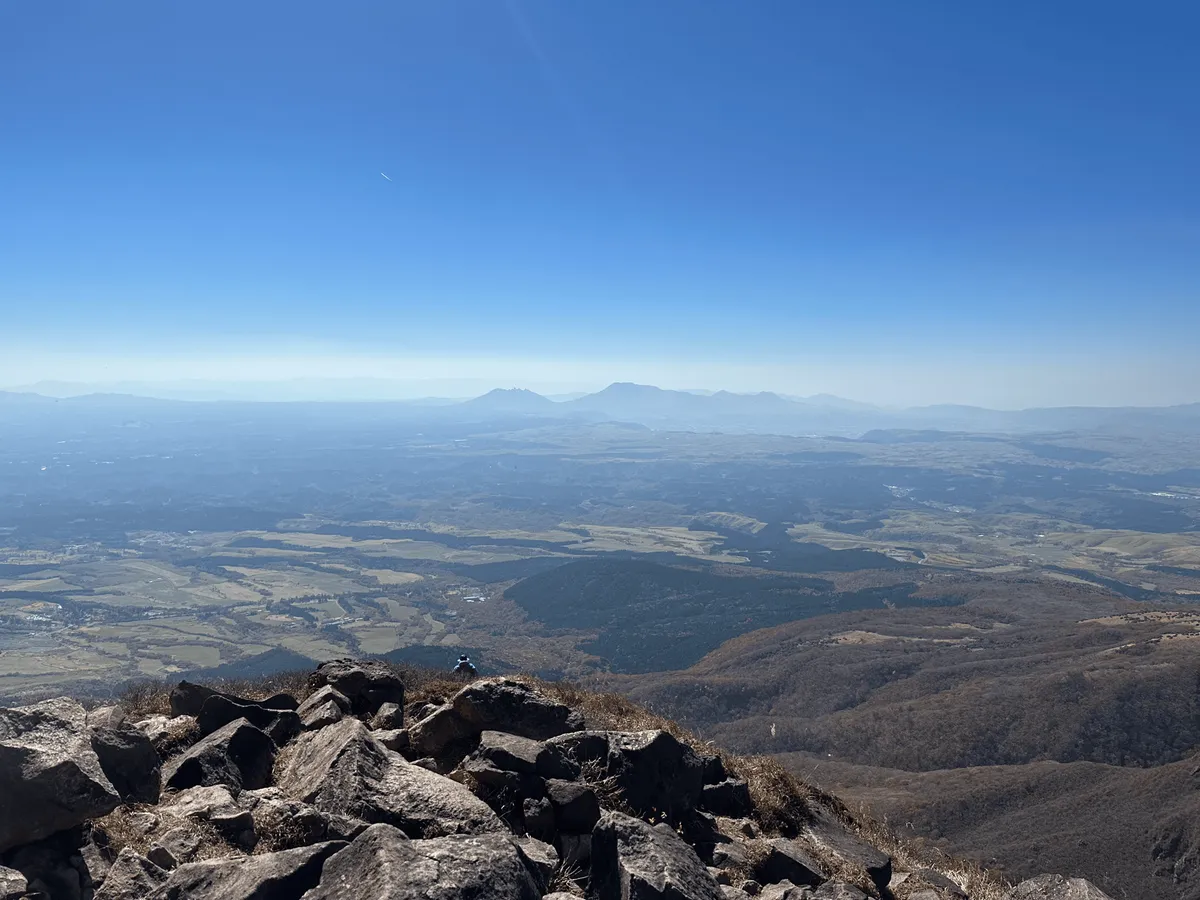
You can also see Mt Aso from the summit of Mt Kuju, which I was planning on climbing the next day.
If you’re only going as far as Mt Kuju, from here you’d turn around to begin the hike back down. But while I was here I also wanted to reach the highest peak in mainland Kyushu, Mt Nakadake. (The highest peak in all of Kyushu is Mt Miyanoura, off the coast of Kyushu on Yakushima island).
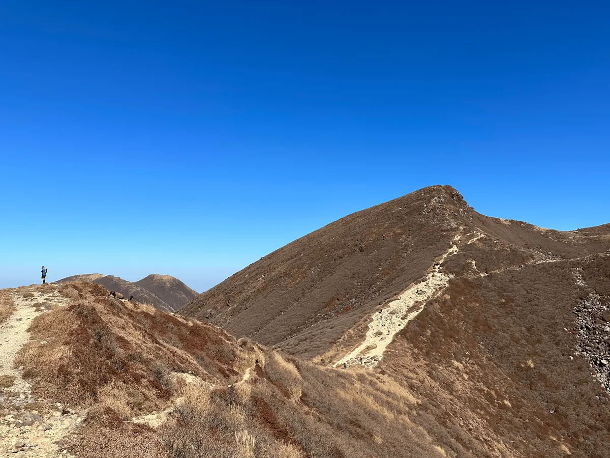
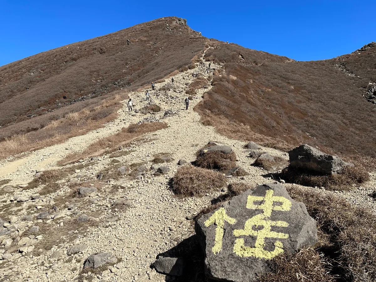
To reach Mt Nakadake, you first have to pass by Mt Tengugajou (天狗ヶ城, tengugajou). As you climb up towards Mt Tengugajou you also pass by Lake Miike (御池) on your right.


From Mt Tengugajou, there’s a small descent and then one last climb to reach Mt Nakadake.
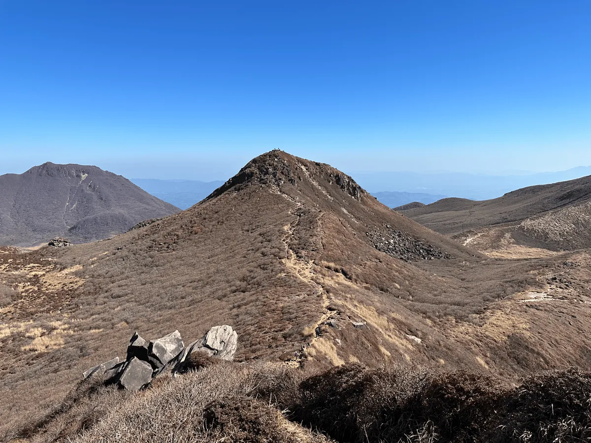
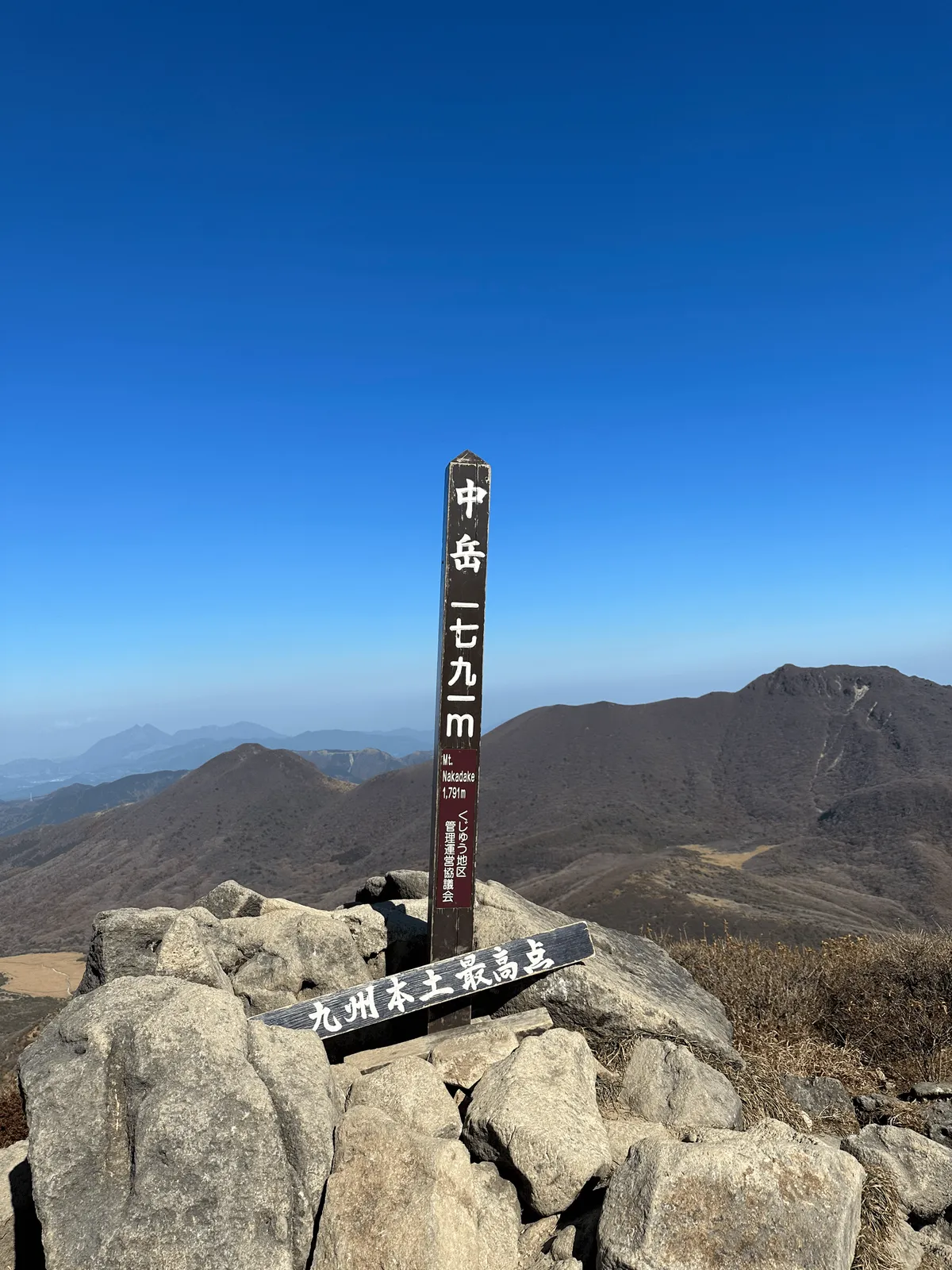
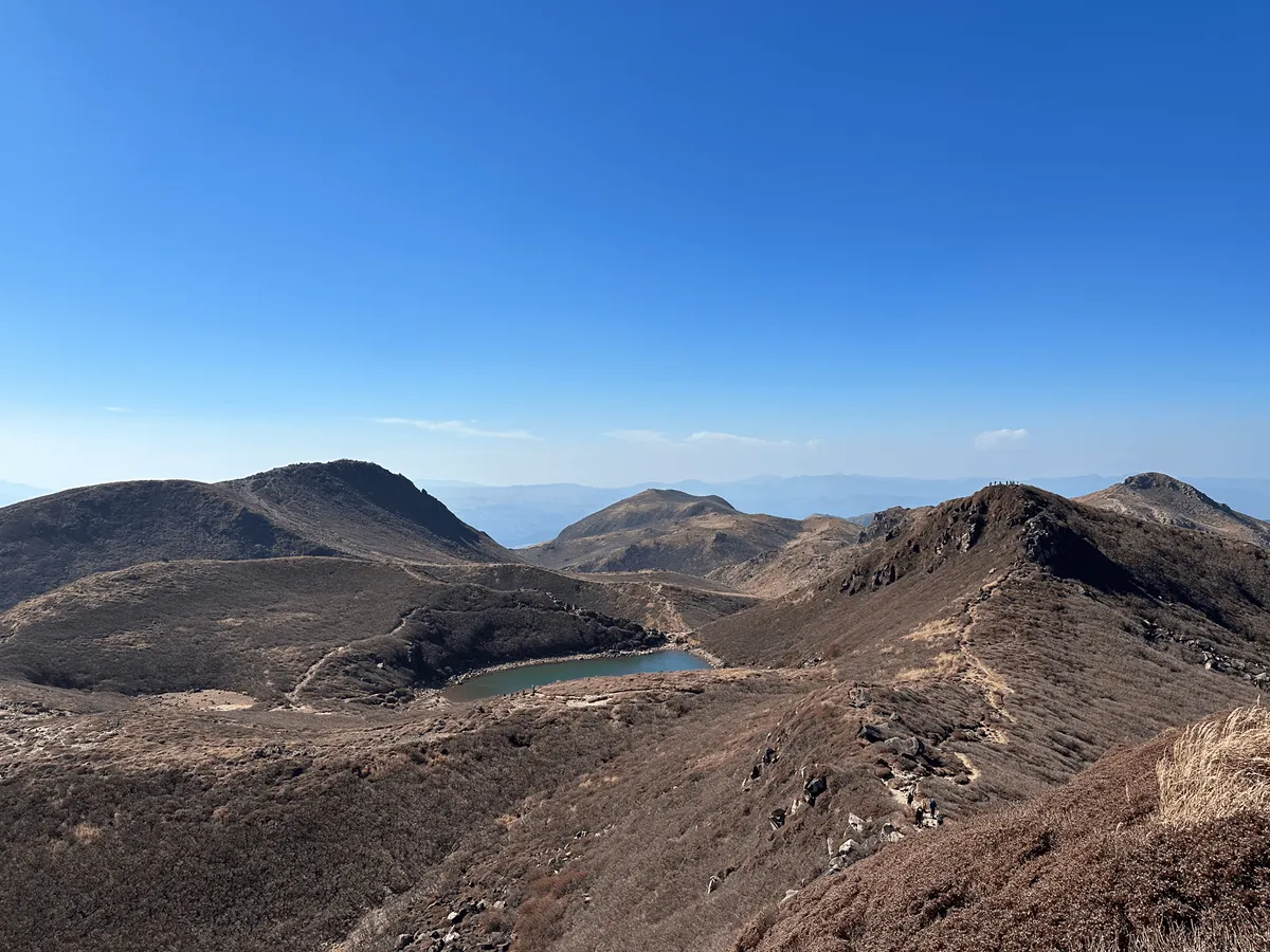
Now all the hard climbing is over, and as you start to descend you get to pass around the left side of Lake Miike.
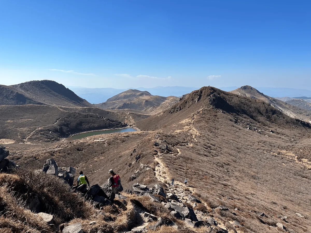
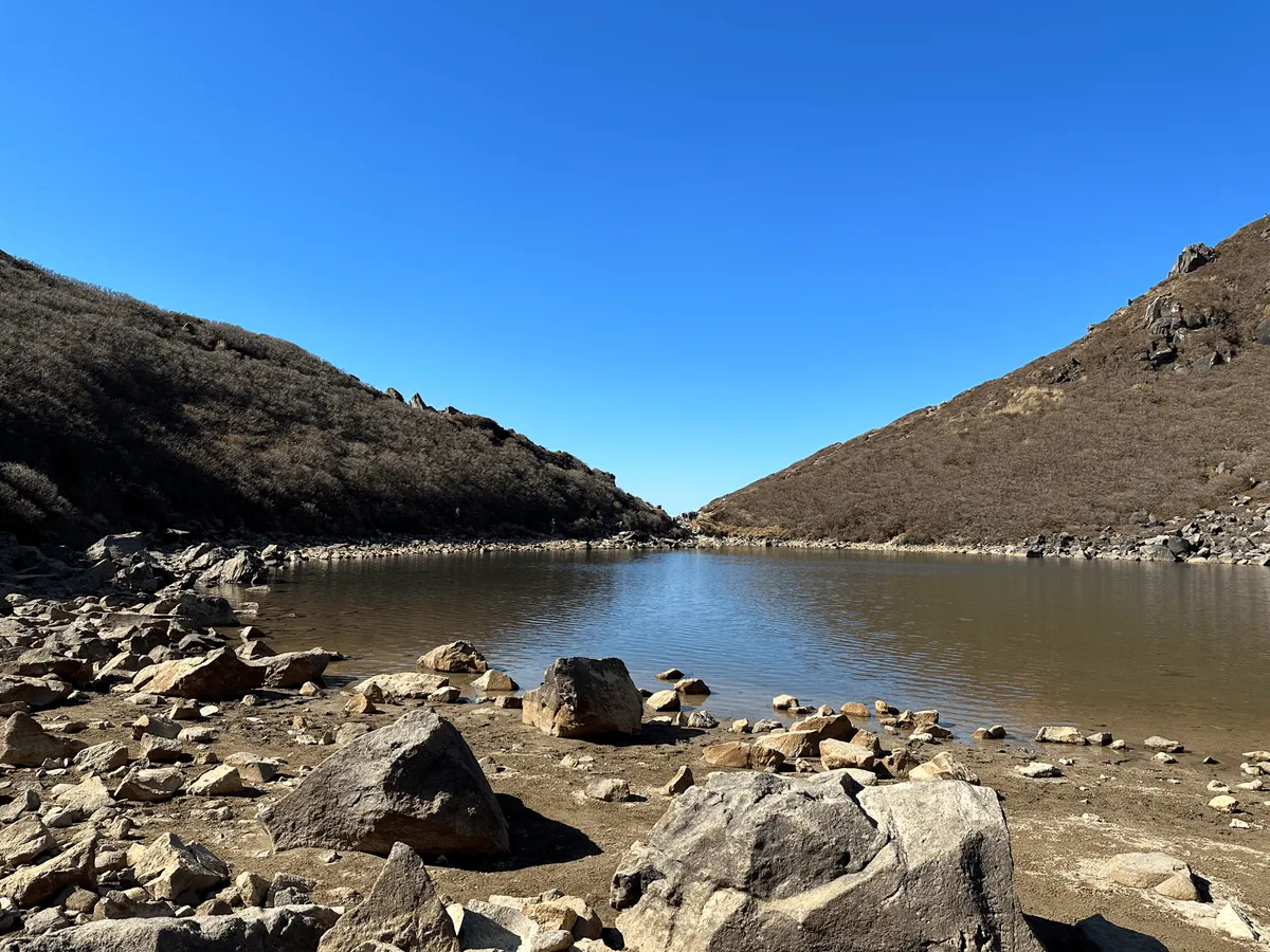
Then it’s onwards back past the peak of Mt Kuju, and towards the Mt Kuju emergency hut (久住分かれ避難小屋).
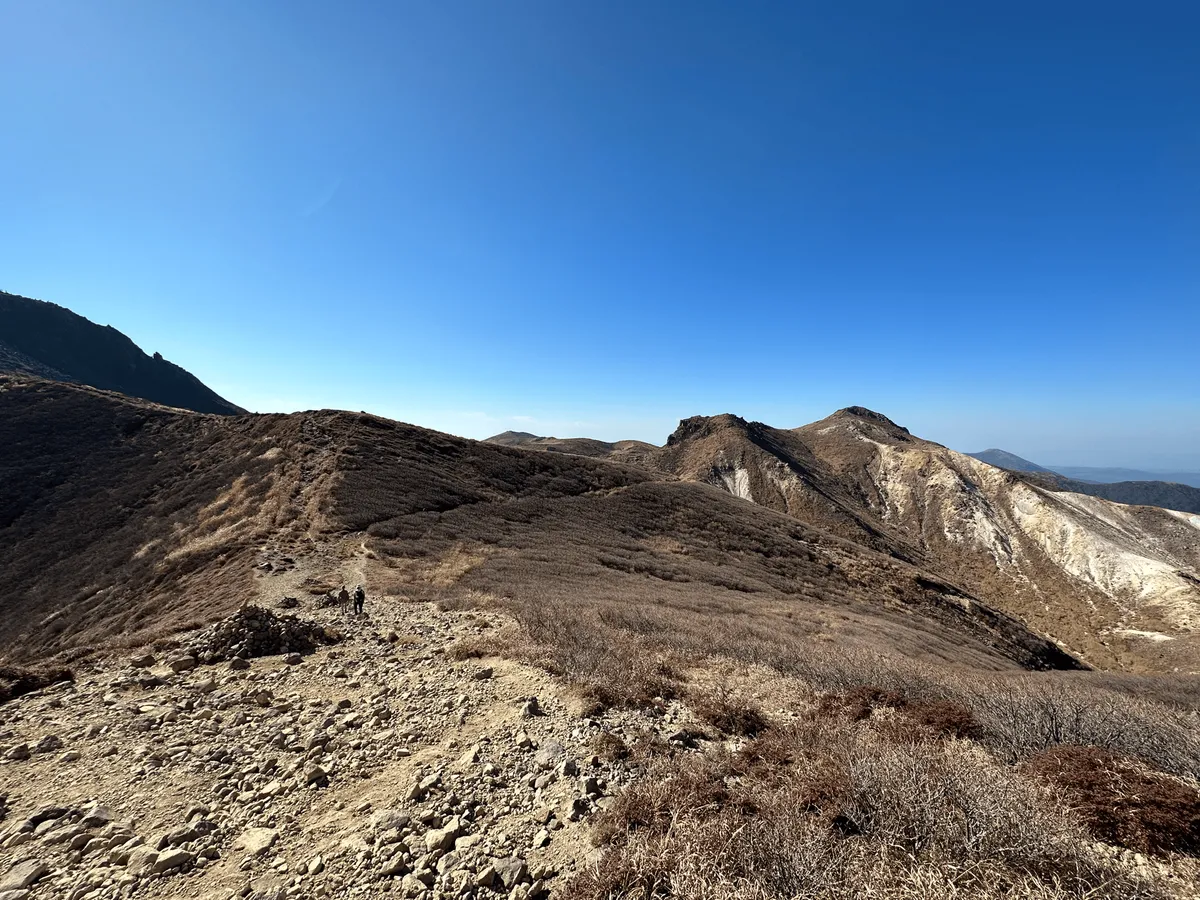
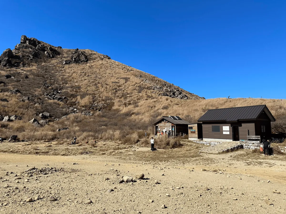
The route back down to the Makinoto-toge trailhead is surprisingly easy compared to the climb up, and very beginner-friendly. Since you finish about 400m higher in elevation than Kuju trailhead there aren’t any steep descents.
I will say the scenery is not quite as exciting as the climb up, so if I had to pick one trailhead over the other for the scenery, I would 100% recommend the Kuju trailhead.
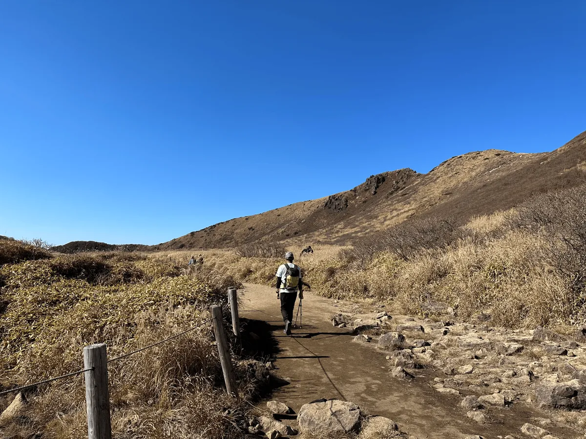
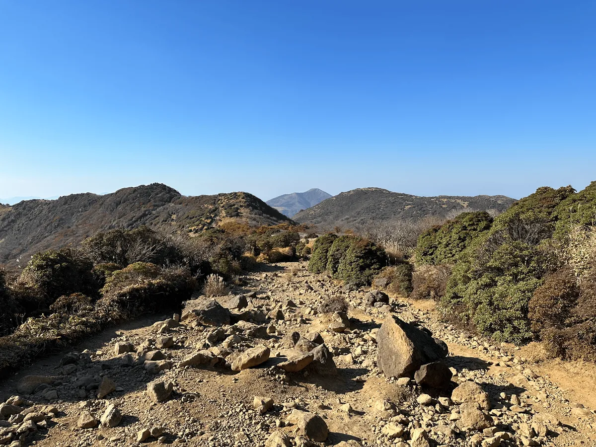
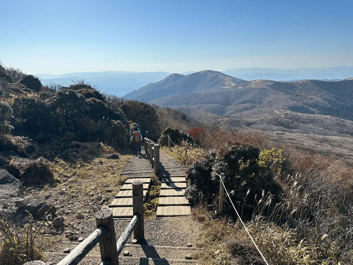
From here it was back on the limousine bus towards Mt Aso, which I was climbing the next day. Ideally, you’d be able to find accomodation at Aso station, but nothing was available when I tried to book, so I stayed on the bus past Aso and got off at Higo-Ozu Station (肥後大津駅) instead.
However the first bus towards Mt Aso from Aso station is not until 09:55, so regardless of where you stay, it won’t really impact the time you will be able to begin your hike at.
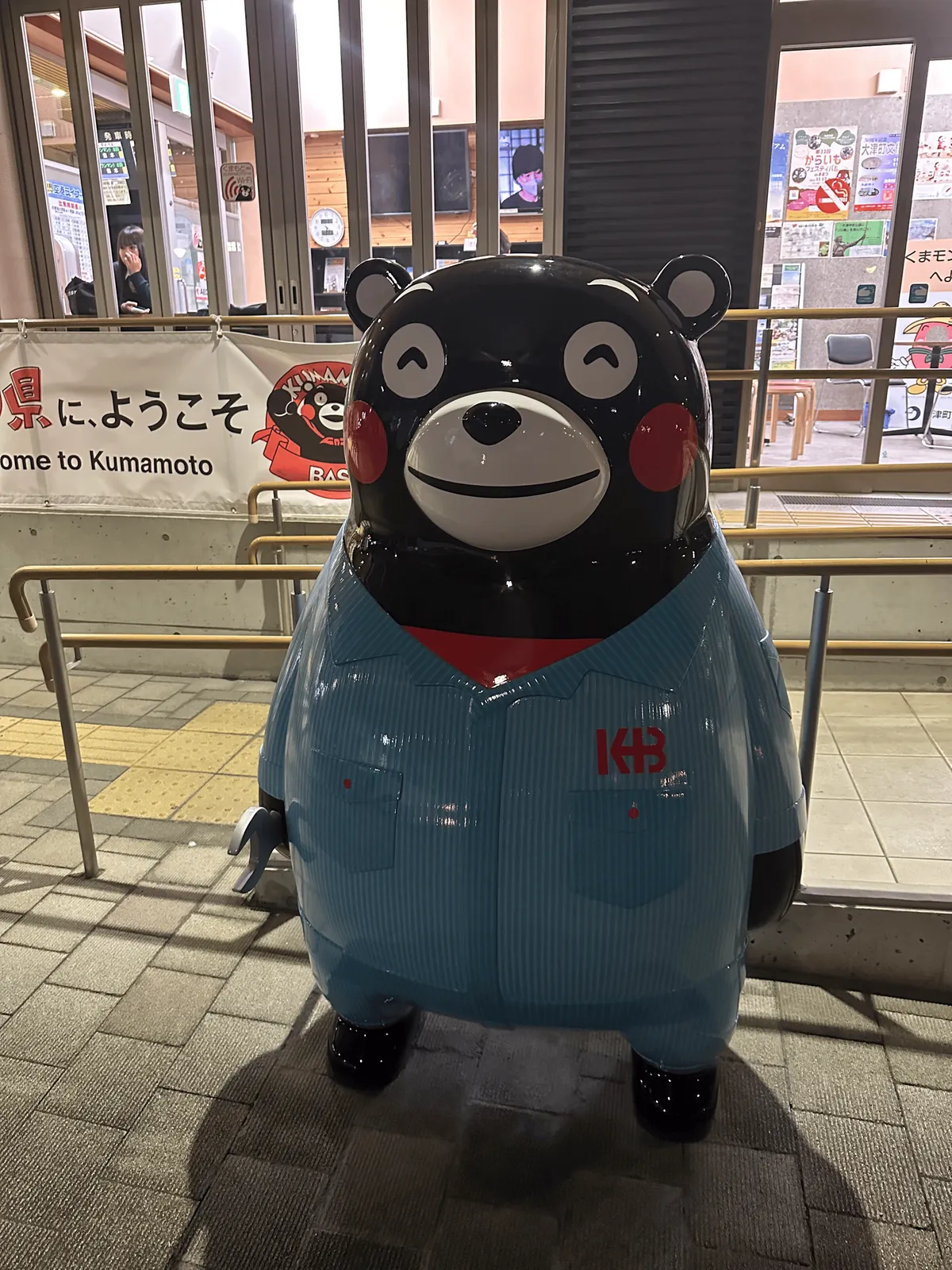
Mt Kuju is in Oita prefecture, but as you head towards Mt Aso you reach the land of Kumamon (i.e. Kumamoto prefecture). Kumamon has a perpetual shell-shocked expression and yet manages to look so cute at the same time. I honestly think whoever created Kumamon is a genius.
Hiking course details
| Date climbed | Length | Course time |
|---|---|---|
| 2023-11-03 | 12.7km | 6h41min (the expected time for an average hiker without breaks) |
The course I took starts at the Kuju trailhead and ends at the Makinoto-toge trailhead. However, if you have a normal walking pace, the route I took is not feasible with the available bus times.
If you want to shorten it, you can skip Naka-dake (which will save you an hour), or do a out-and-back course starting from Makinoto-toge. The only downside is I honestly think the best part of the hike is starting from the Kuju trailhead, so if anything I would recommend starting there but skipping Mt Nakadake instead.
Toilets are available at both trailheads and one near the summit of Mt Kuju (surprisingly, with toilet paper too).
Public transportation access with example schedule
| Time | Location | Transport | Cost | |
|---|---|---|---|---|
| 08:02 | 別府駅前 (Beppu station-mae) | Limousine bus | 2500 | |
| 09:52 | くじゅう登山口 (Kuju tozanguchi) |
The limousine bus tickets can be booked online, or you can show up on the day and get on, assuming it’s not full. The bus does accept Suica cards.
| Time | Location | Transport | Cost | |
|---|---|---|---|---|
| 15:41 | 牧ノ戸峠 (Makinoto-toge) | Limousine bus | 2600 | |
| 18:03 | 肥後大津駅 (Higo-ozu station) | |||
| Trip total: | 5100 |
Of course you can also just get back on a bus towards Beppu station, depending on your plans. If you are heading on towards Kumamoto, the bus also makes a 15 minute stop at 瀬の本レストハウス where you can buy snacks. I will note that Higo-ozu station is very quiet, and there were no restaurants open by the time I arrived so I made do with some conbini food.
Leave a comment