
- Elevation 2017m
- When to climb April - December
- Shortest course is 20km or 11h. Can be done as a day trip from Tokyo for fast hikers with stamina, or with an overnight stay at the summit.
Mountain stats
3 hours from Tokyo. Take the JR Chuo line to Okutama station, then a local bus to the trailhead.
2 hour drive from Tokyo. There is a car park at the Kosode trailhead.
Mt Kumotori (雲取山, Kumotori-yama) is a 100 Famous Mountain and Tokyo’s highest mountain at an elevation of 2017m. Due to its course length of 20km, it’s most commonly done as an 2-day hike with a stay at the summit. But for those who are up for the challenge, it’s also possible to do as a day hike, which is what I did in June of 2023.
Although the trail is long, the trail is a relatively smooth incline with 1700m of elevation gain. There is a slightly steeper stretch closer to the summit. For those looking to practice longer trails and/or spending the night at the summit, I would say that this is a great beginner-friendly option for that.
Mt Kumotori has decent public transport access, with buses running from Okutama station to near the trailhead. In my case, I set out from home just before 5am, and was able to start my hike from Tozura (留浦) bus stop around 8:15am.

From Tozura, it’s a 2.8km, 50 minute walk to the actual trailhead (where the carpark is). I hiked in June, which is when the rainy season begins in Tokyo, so I was a bit worried about the weather. But luckily the forecast for this day was rain only in the early morning, so by the time I began my hike there were clear blue skies.
Just before 9am I arrived at the Kosode trailhead (小袖登山口) where you begin the actual hike.

The carpark at the trailhead was quite empty, and I wonder if the reason was due to the weather forecast, or the fact that it was a weekday. I was alone for most of the trail, except near the summit where I passed some people descending.

There is a total 1700m elevation gain over this course, but considering that it’s spread out over 20km it didn’t feel too steep overall. It’s also quite walkable, with long stretches of “smooth” path rather than any tricky sections with lots of tree roots or rocks to trip you up on.

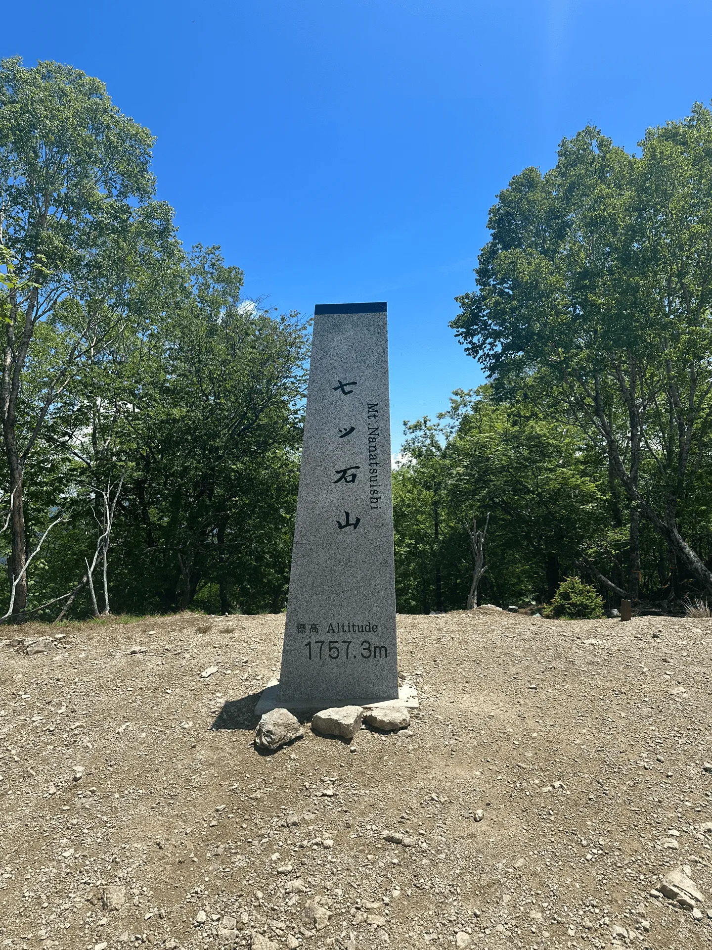
This course also takes you past Mt Nanatsuishi (七ツ石山, Nanatsuishi-yama) which has an elevation of elevation 1757m.
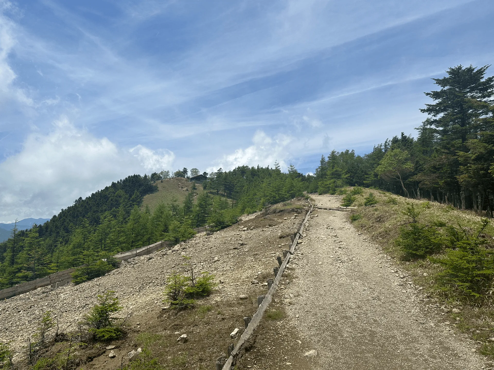
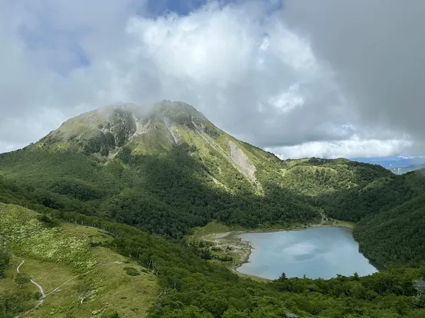
From Mt Nanatsuishi you get your first glimpse of the peak of Mt Kumotori in the distance.


As I look back at the progress I’ve made, I can see a large peak in the front, which I would guess is Mt Nanatsuishi.

Once you begin the final approach, you can see a large building which is the mountain hut at the summit of Mt Kumotori.

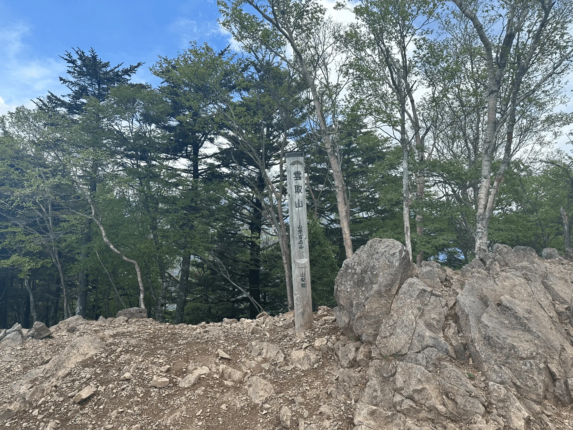
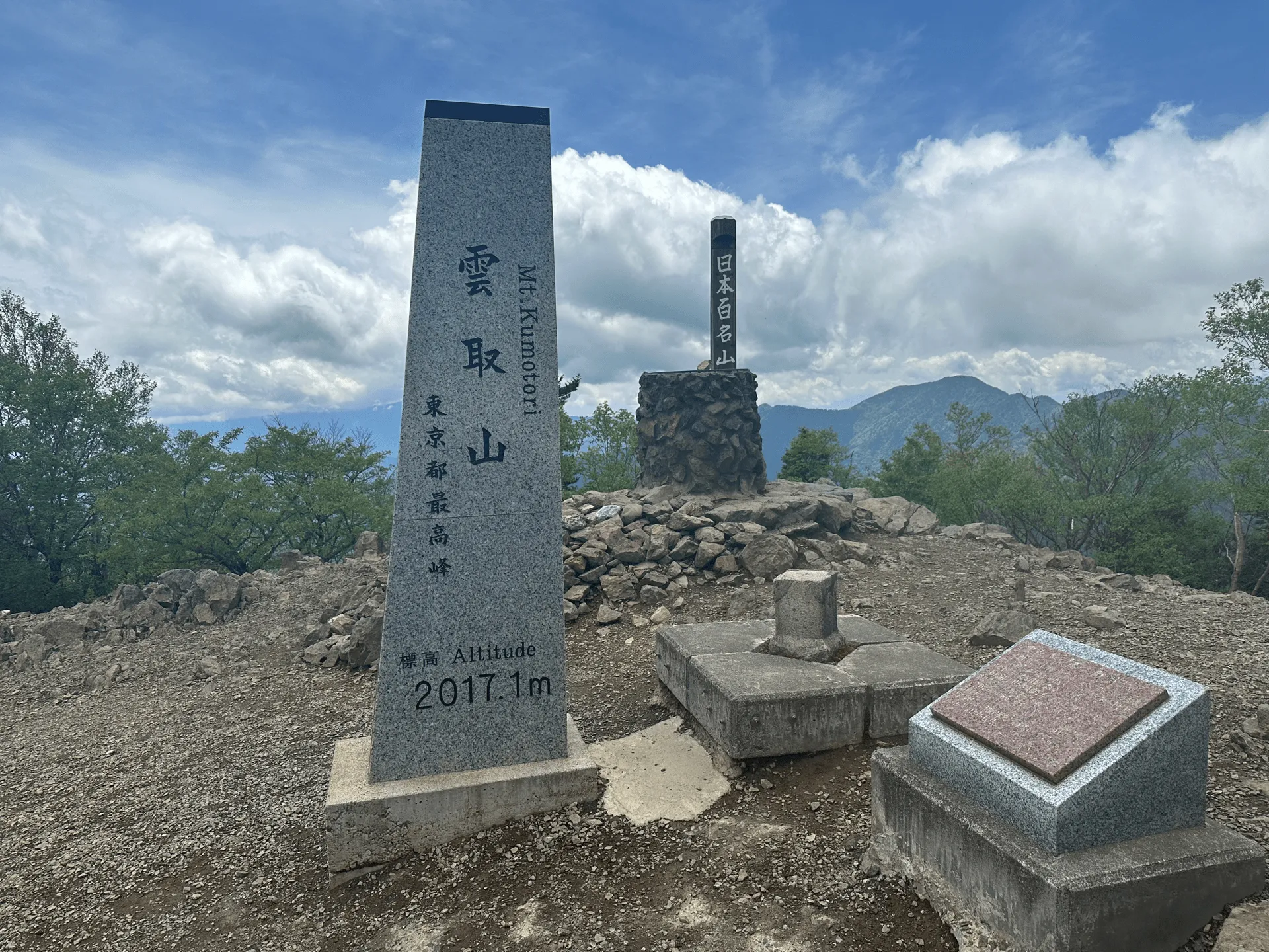
Once you reach the summit, there’s a couple of different peak markers, since Mt Kumotori is famous for three different things:
- It’s the highest mountain in Tokyo prefecture.
- Also it’s one of the Hundred Famous Mountains of Japan.
- And finally, it’s a Hundred Famous Mountain of Yamanashi.

From here it’s back down the same way I came. Before I started this hike I was pretty concerned about whether I could reach my time deadline (to make sure I got on a bus before it got dark) but I was ahead of schedule by this point, and feeling pretty good.

In the end I finished my hike just after 3pm. Including the walk from the trailhead to the bus stop, I walked a total of 24km in just under 7 hours.
Hiking course options
| Date climbed | Length | Course time |
|---|---|---|
| 2023-06-07 | 19.7km | 10h47m (the expected time for an average hiker without breaks) |
The Kosode trailhead (小袖登山口 Kosode-tozanguchi) is the most popular trailhead from which to hike Mt Kumotori. Alternatively, you can also hike it from the Saitama’s Mitsumine shrine.
The course I took is a out-and-back course that that starts and ends at this trailhead’s carpark. If you’re coming via the Tozura bus stop, you’ll have to walk 50 minutes one way from the bus stop to here. This will bring the official course time up to over 12 hours, and with a total of 24km. Although the trail itself is well signposted, it may be a bit harder to find the trailhead from the bus stop, so I recommend having a GPS map handy.
You can see the course on Alltrails here.
There is a toilet available near the bus stop, as well as at the peak.
Public transport access with itinerary
| Time | Location | Transport | Cost | Notes |
|---|---|---|---|---|
| 04:59 | Tokyo (東京) station | Train (JR Chuo line) | 1275 | |
| 07:17 | Okutama (奥多摩) station | |||
| 07:25 | Okutama (奥多摩) | Bus | 740 | 奥11 bus |
| 07:58 | Tozura (留浦) |
Access to Mt Kumotori is first via a train on the JR Chuo line to Okutama station. I recommend using Google Maps or a train app of some sort, as you will have to make at least one transfer to get on the JR Ome line, probably from Tachikawa station.
Once you exit the train station, the bus is directly across the road - you won’t miss it.
From here you can get on the 奥11 bus to Tozura (留浦). From Tozura it’s a 50 minute walk to the trailhead. Alternatively, you can get the 奥09 or 奥10 buses to Kamosawa (鴨沢), which is a bit closer to the trailhead. The reason I went for Tozura is that although there are busses running to Kamosawa, it didn’t really work with my timing.
The earliest I could get to Okutama station from Tokyo was 7:17am, and the buses to Kamosawa were leaving at 7am or 8:45am. So although getting the bus to Tozura would have me walking a longer distance, I would get to the trailhead quicker than if I got the 8:45 Kamosawa bus.
Also when I climbed this on a weekday, there was only one other person that got off at the same bus stop as me, so don’t worry if you are the only one! There are many other mountains and trailheads in the Okutama region, so you may start off with other hikers on the bus as well before they get off at various points along the way.
If you really wanted to do this as a day hike but were a bit worried about the timings, one option would be to sleep the night before at Okutama station or somewhere near by, and then get the earliest bus to Kamosawa from Okutama station (which leaves at 5:34 on weekdays or 06:05 on weekends).
Please note the schedule I followed is not doable if you follow the official course time. I wouldn’t recommend doing this as a day hike unless you are confident in being able to do this course quickly. If you weren’t sure but wanted to give it a go, I would recommend keeping an eye on the time and turning back if you don’t think you’ll be able to make it off the trail before it gets dark. As you pass Mt Nanatsuishi on the way, you could consider this as a good turning back point.
| Time | Location | Transport | Cost | |
|---|---|---|---|---|
| 17:57 | Tozura (留浦) | Bus | 740 | |
| 18:32 | Okutama (奥多摩) | |||
| 18:54 | Okutama (奥多摩) station | Train | 1275 | |
| 21:00 | Tokyo (東京) station | |||
| Trip total: | 4030 |
I have put the 17:57 bus in the return timetable schedule above since I don’t think you should be hiking after dark, but note there later buses - the last possible one is at 19:19. Note that finishing by 6pm may be reasonable in summer, but it gets completely dark by 5pm in wintertime.
For the latest on bus schedules, I would recommend Googling “奥多摩駅 ~ 留浦” (I.e. “Okutama station ~ Tozura”) which should bring up the NAVITIME timetable (always accurate) and also the timetable for all buses leaving from Okutama station.
Car access details
| Car park | Time (from Tokyo) | Round trip cost |
|---|---|---|
| Tabayama-mura Sonei carpark (丹波山村 村営駐車場) | 2h | ~1700 yen |
The carpark is at the Kosode trailhead (小袖登山口). It seems to be decently sized, although not huge. It was relatively empty when I went on a weekday morning.
Staying overnight at the summit mountain hut
There is one mountain hut available at the summit of Mt Kumotori. It’s called Kumotori Sanso (雲取山荘) and is open year-round.
If you’re staying in the hut, they have reservation details on this page. You can call them in Japanese, but luckily it seems they also accept reservations via email. You can also camp in your tent, which does not require a prior reservation.
When to hike Mt Kumotori
If you’re looking to hike Mt Kumotori without snow, you can hike between April and December. Looking at YAMAP, it seems like May is the most popular month to climb, as you can see the fresh green vegetation sprouting after the winter (known as shinryoku or “new green”). If you’re looking to climb in summer, the elevation at the peak is around 2000m which is reasonable, but probably still quite hot so I would be careful to bring lots of water. There is a fair bit of tree cover on the trail which should help keep you cool.
As snowfall can vary year on year, I would recommend checking YAMAP to see the conditions before you climb.
Comments
Leave a comment