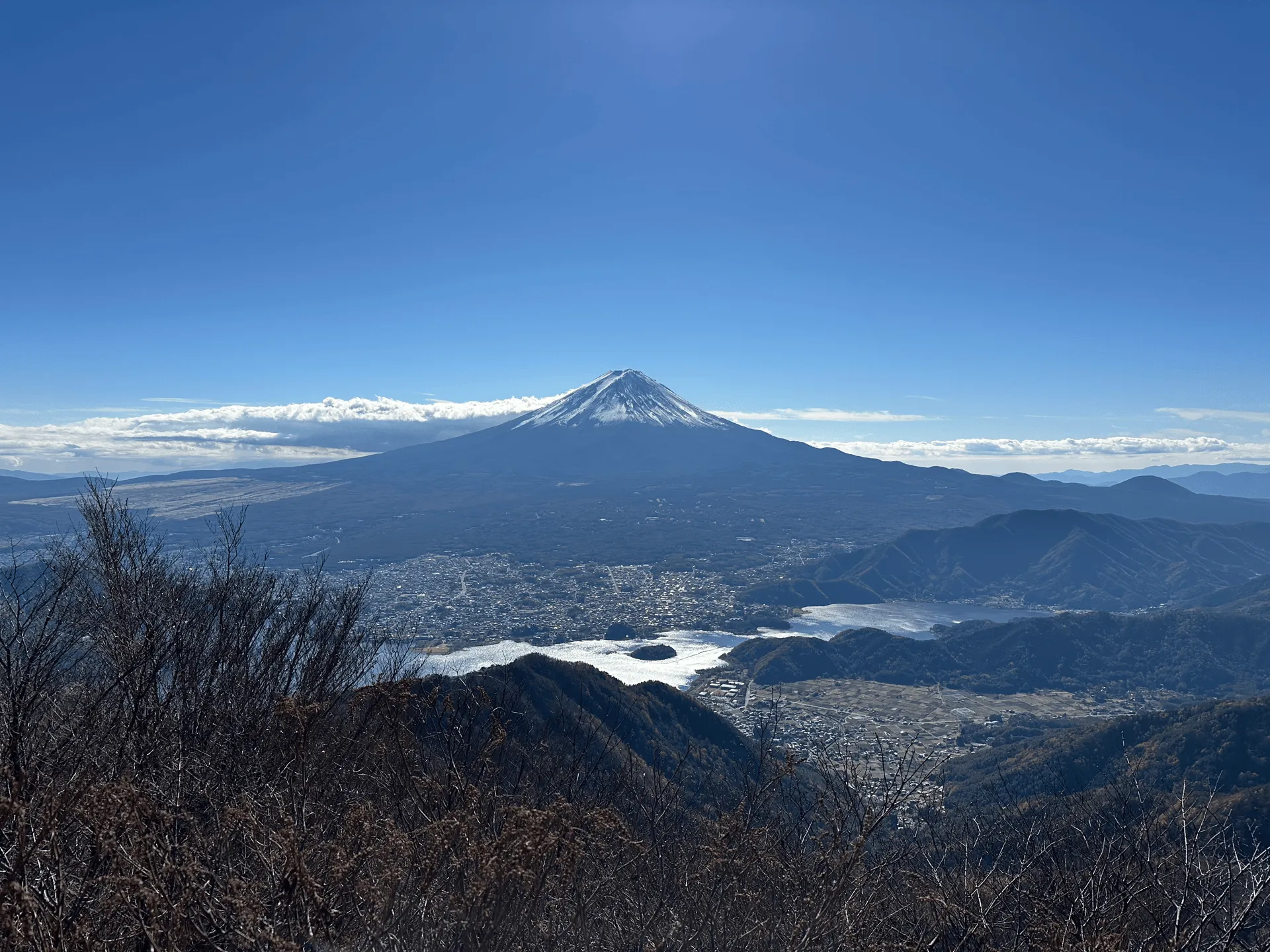
- Elevation 1792m
- When to climb September - January, April - June
- 7km and 3.5 hour loop course if you're coming by car. Expect at least 12km and 6 hours if you are coming by bus.
Mountain stats
3 hours from Tokyo. Take a highway bus to Kawaguchiko station, and then a local bus to the trailhead.
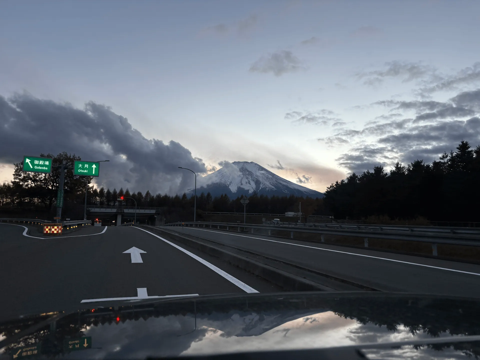
2 hours drive from Tokyo, with a carpark at the trailhead.
Mt Kurodake (黒岳, kuro-dake) is an 1792m peak near Mt Fuji’s Lake Kawaguchiko. I hiked it in November of last year along with the neighbouring Mt Shakagatake (釈迦ヶ岳) to cross two of the Hundred Famous Mountains of Yamanashi off my list. For the latter half of 2024, I had been climbing a lot of the Hundred Famous Mountains of Japan, which are great mountains, but also came with a lot of early mornings and long drives to the trailhead. Mt Kurodake is relatively close at a 2 hour drive from Tokyo, and was a nice way to kickstart the more relaxing winter hiking season. I was also lucky enough to get a great view of Mt Fuji, which is one of the main draw cards of a lot of the mountains in the Yamanashi region.
💡 This mountain is sometimes known as Misaka-Kurodake (御坂黒岳). There is also another Mt Kurodake in Hokkaido, which comes in at an elevation of 1984m.

At the trailhead there is a large deck area with an information centre. It was so cold there was frost on it! With the nearby Fujiyama Twin Terrace, I think this mountain has become a little bit of a tourist spot. We had arrived before the first shuttle buses though, so it was still very quiet.
Heading up the road past the information centre, you’ll see the start of the trail. It was quite a steep climb.
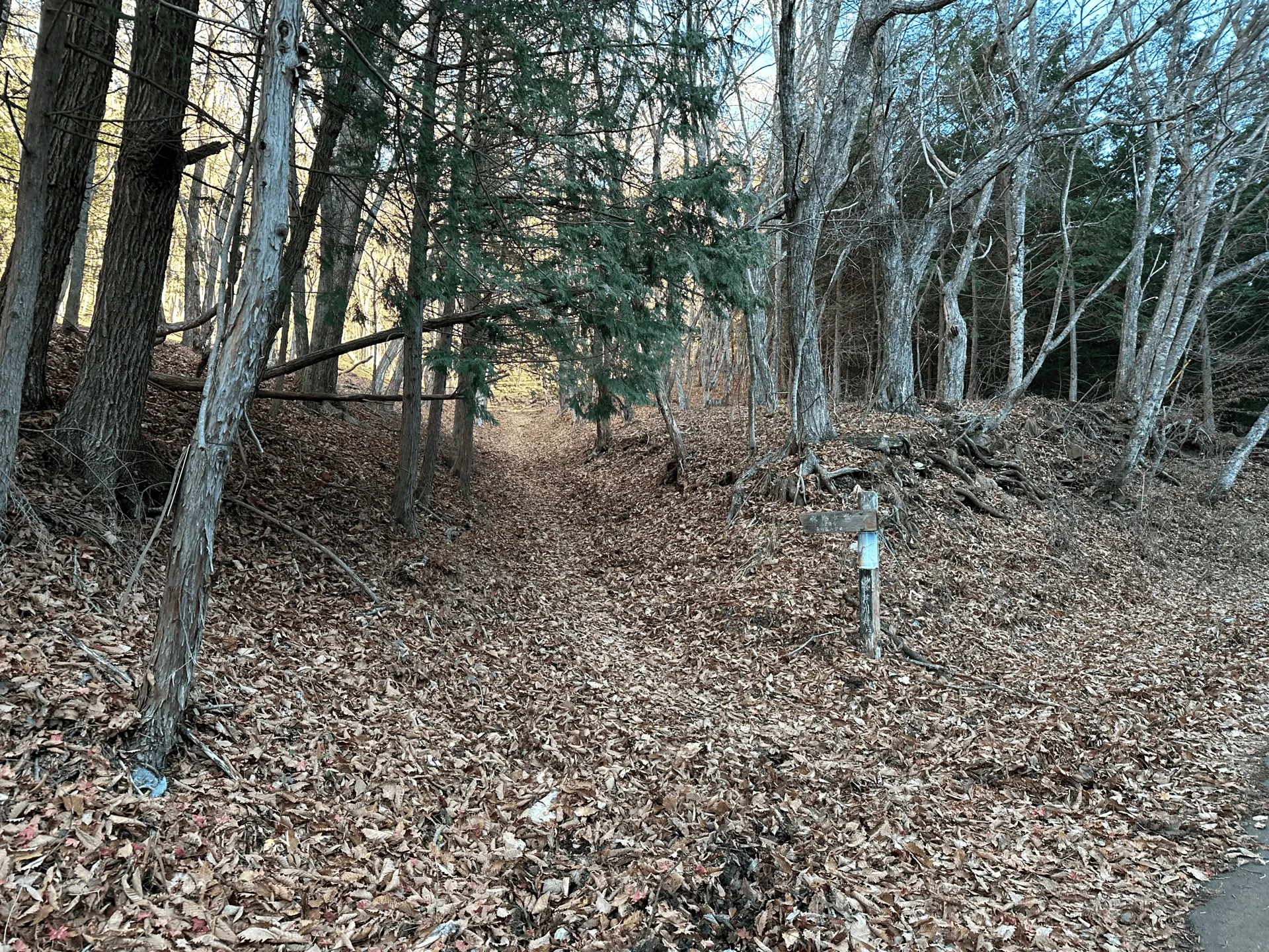
After about 30 minutes, you’ll finish the initial climb and come to a fork in the trail. If you just wanted to climb Mt Kurodake, you’ll take a right here, and do a 3.5 hour loop course.
If you also want to climb Mt Shakagatake, you take the left turn and do an 90-minute out-and-back detour. Of course, I wasn’t going to turn down the opportunity to check two peaks off my list in one go, so we took the detour.
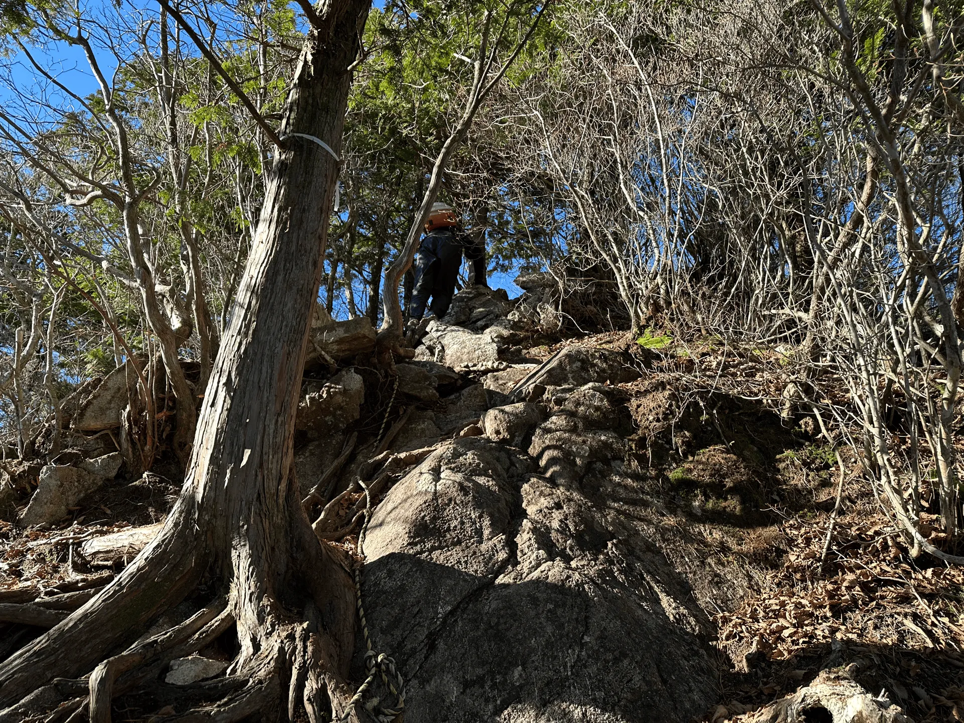
The climb up to Mt Shakagatake had some ups and downs as you clamber over some rocky bits, but overall it wasn’t too steep.
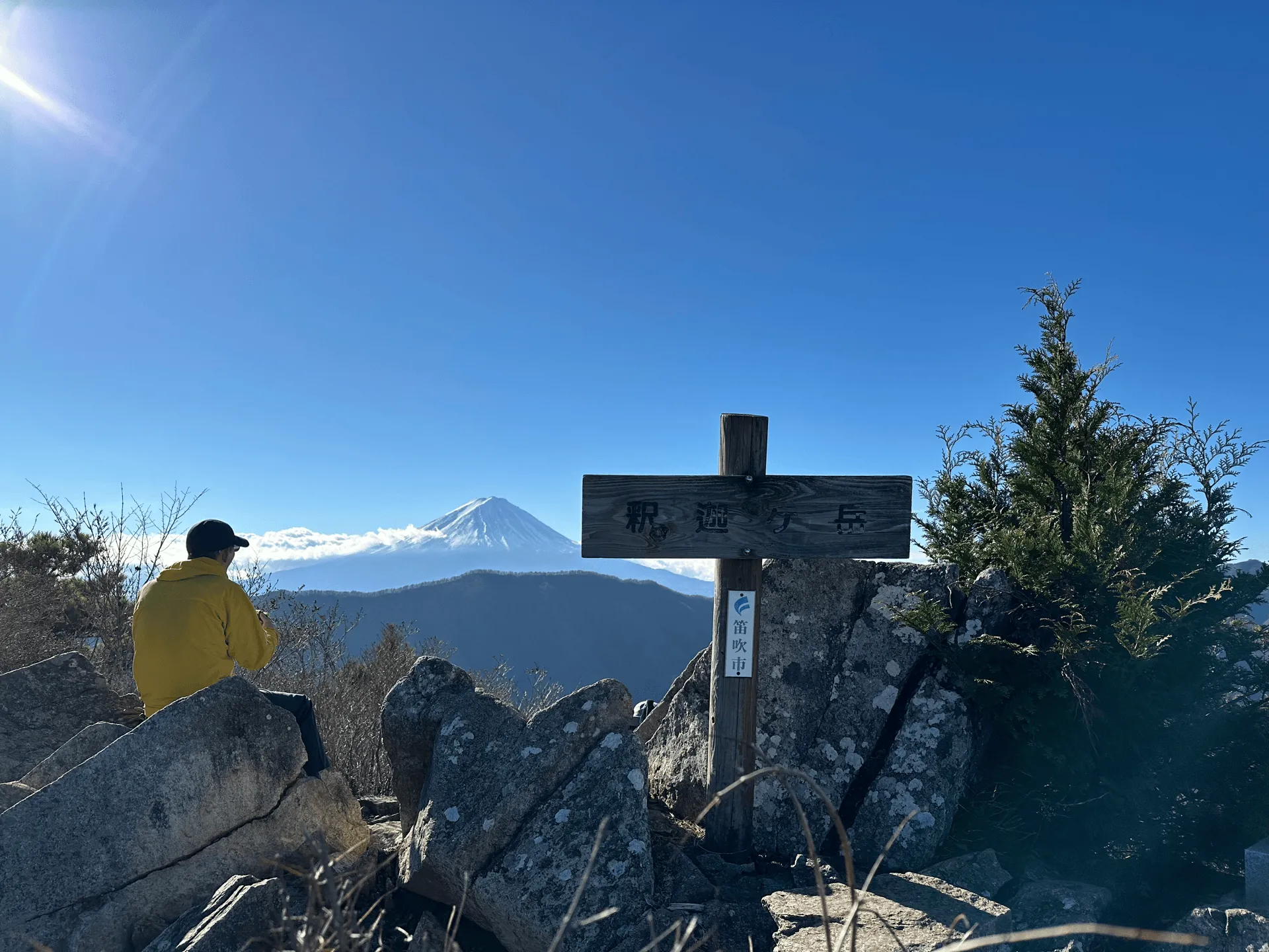
Once you reach the peak, you’re awarded with your first view of Mt Fuji for the day. It was a Saturday, so there were a couple of other hikers taking in the views as well.
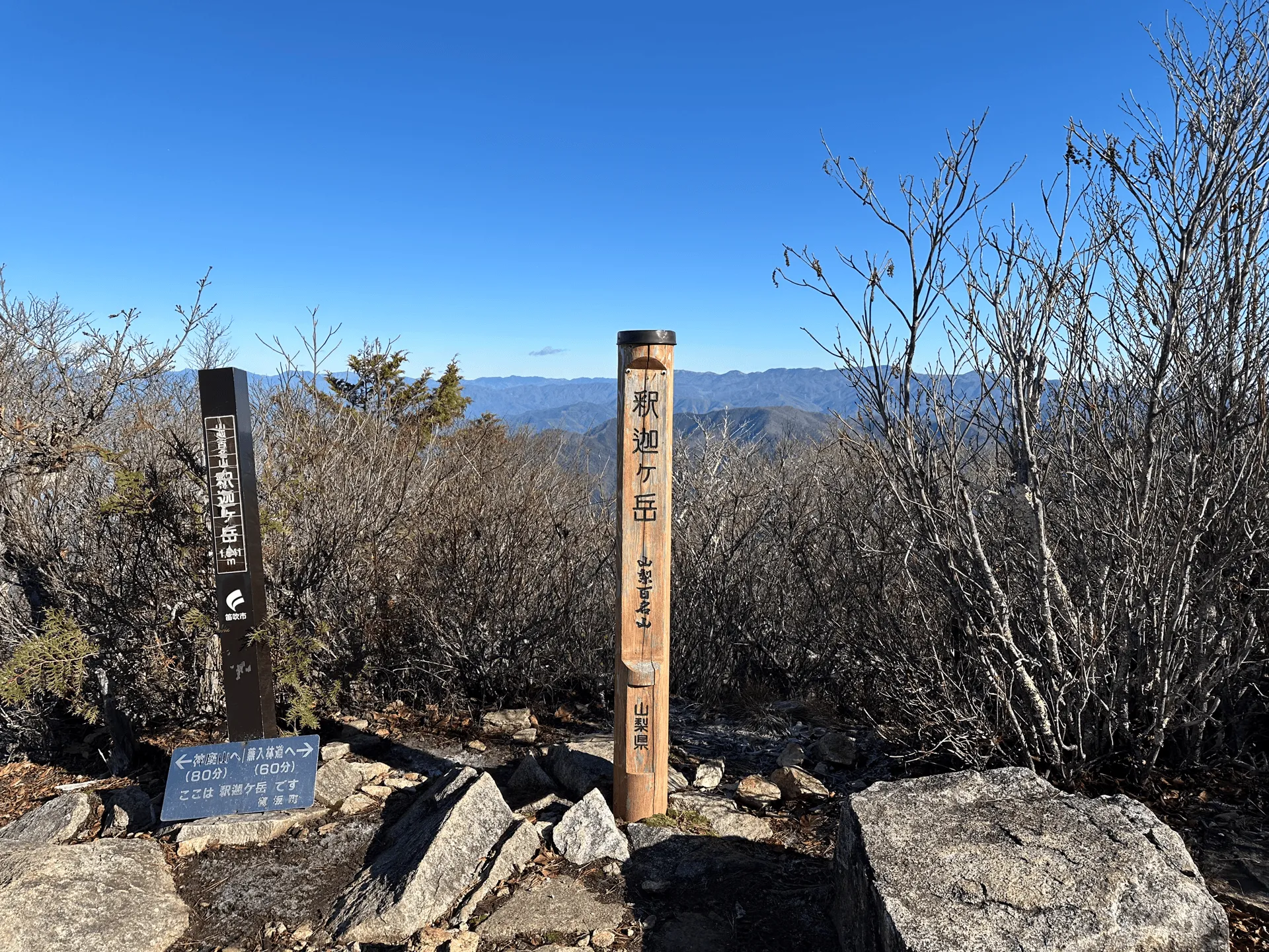
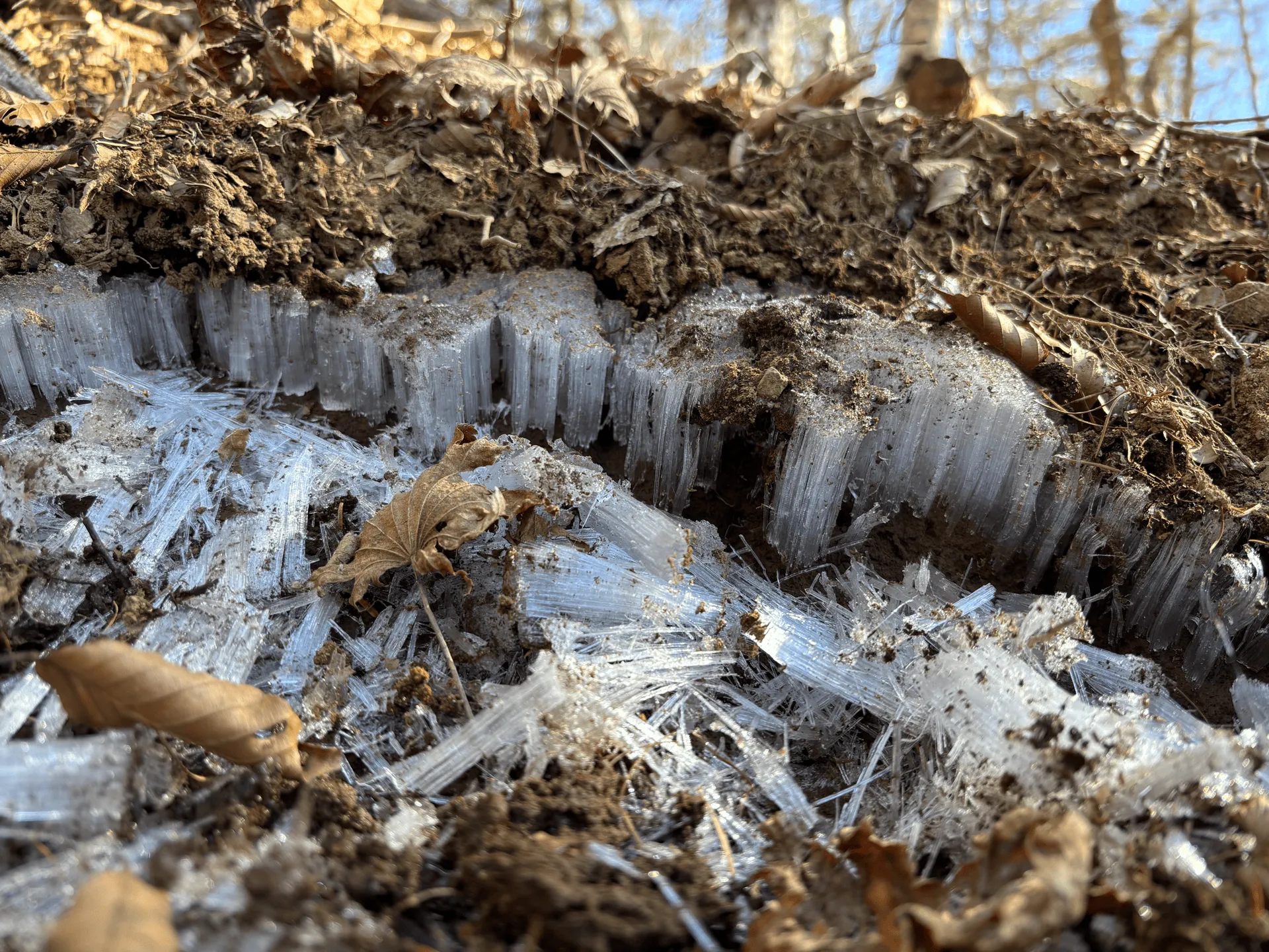
From here, you’ll retrace your steps back to the initial fork in the trail. And then on towards Mt Kurodake! This was mid-November, so it was cold enough that there was needle ice or “shimobashira” on parts of the trail.
At one point, I did end up getting stuck behind a large, slowly-moving hiking group, but once I managed to escape past them, it was pretty smooth sailing. Well, I did go with my partner and his brother, and they were a lot faster than me so there was a bit of huffing and puffing to try and keep up with their pace!
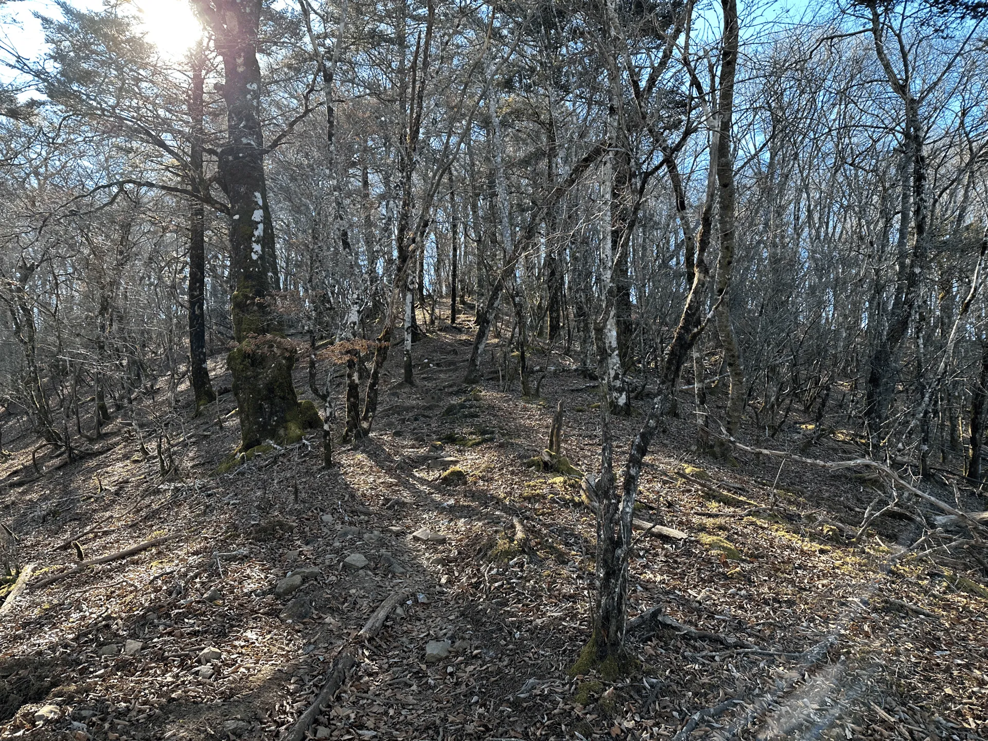
The actual summit of Mt Kurodake is in the middle of a little clearing and is a bit underwhelming. However if you head just a couple of minutes down the trail, there’s a lookout point which is really the star of the course.


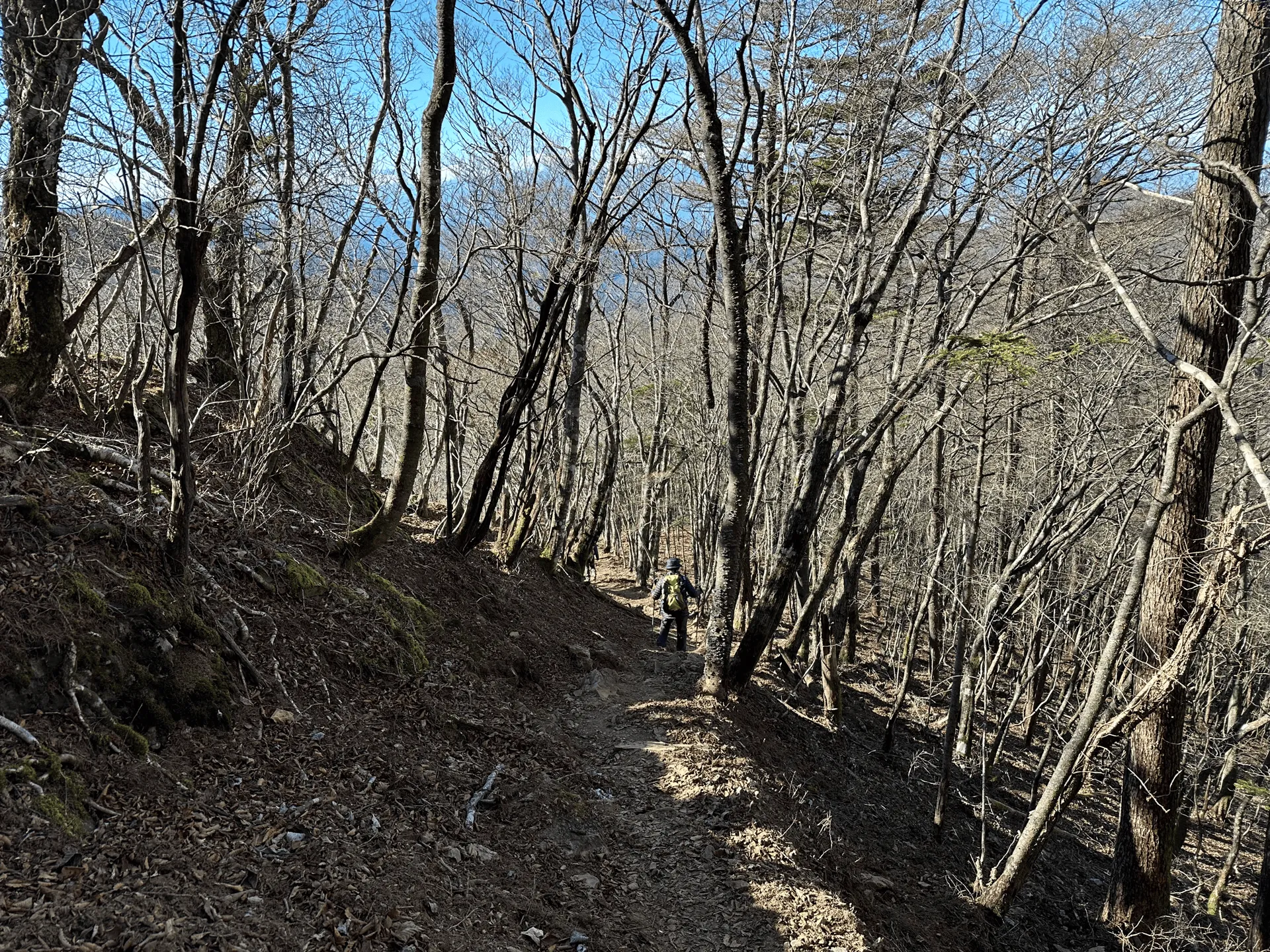
We had our lunch break here, and then continued along the loop course back towards the trailhead.
On the way back down, there’s an opportunity to stop off at the Fujiyama Twin Terrace, which is a large wooden deck overlooking Lake Kawaguchiko. I didn’t prepare well enough beforehand, and looking at YAMAP I couldn’t quite figure out where the terrace actually was… And unfortunately we completely missed the turn-off for it!
If you’re following the same course as me, you’ll want to head towards Mt Happu (破風山) and the Shindo Pass (新道峠) which will take you past the terrace. Lesson learnt for next time.
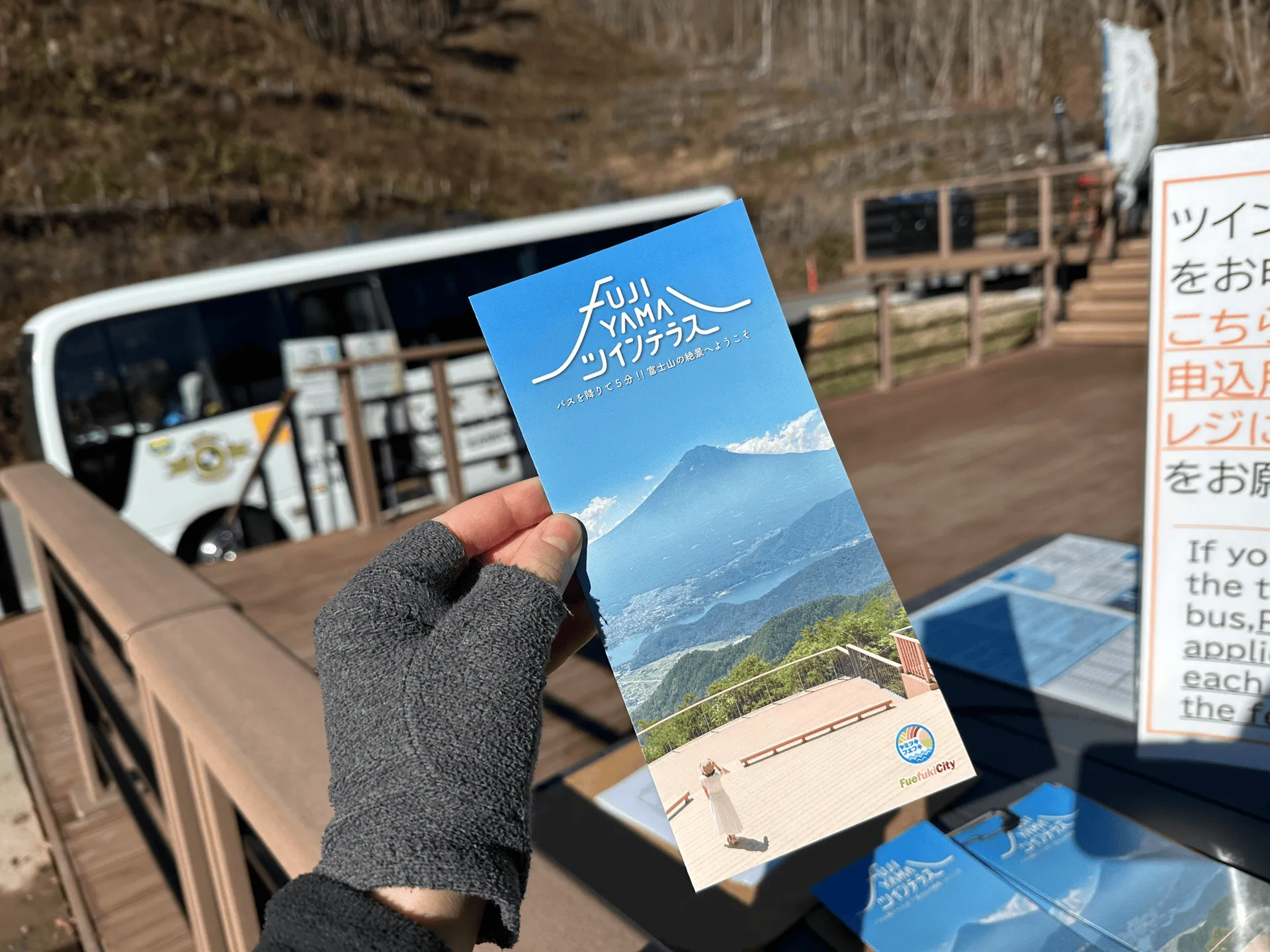
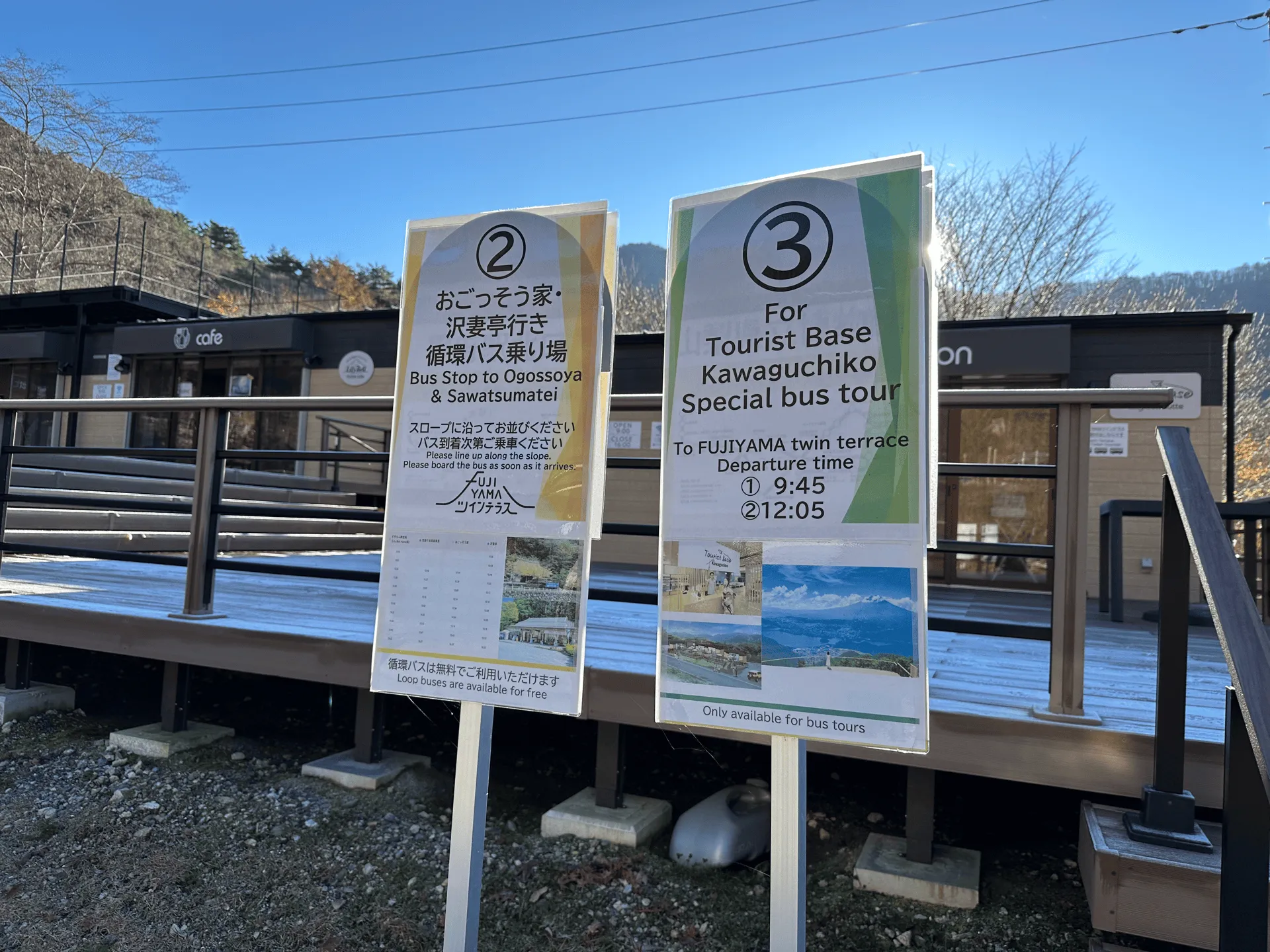
Once we got back to the information centre at the trailhead, things were looking a lot more warm and lively. It looks like there are shuttle buses from here that can take you up to the terrace as well, if you’re not interested in the hike.
Funnily enough, I was interviewed by a small TV crew who were probably doing some sort of a segment on foreign tourists who come to visit the terrace. Unfortunately I wasn’t able to give them very good answers since I completely missed it. Oops.
After our hike, we stopped off at Lake Yamanakako’s Benifuji no Yu onsen, before beginning our drive home.
Hiking course options
| Date climbed | Length | Course time |
|---|---|---|
| 2024-11-23 | 8km | 5h (the expected time for an average hiker without breaks) |
The course starts off with quite a quite steep climb from the Mt Shakagatake trailhead (釈迦ヶ岳登山口). You have a 90 minute detour to Mt Shakagatake (釈迦ヶ岳), and then do a short loop course out to Mt Kurodake.
If you just want to climb Mt Kurodake, you’ll be looking at a shorter 3.5 hour loop course.
There are toilets at the information centre, although they were closed when we showed up at around 8am, so it looks like you have to wait until the caretakers to show up in the morning and unlock them (maybe closer to 8:30 or 9:00am). If you are driving, I would recommend stopping off at a convenience store on the way over.
Looking at the map, the other toilet option is at the terrace, although I’m not too sure what its opening hours are.
I have some more information below on available courses if you’re coming by public transport.
Public transport access
It becomes a little more complicated to come to Mt Kurodake by bus, but it is still possible! From a little research, I can see two possible options.
Option 1: Starting from Tenkacha-ya
If we look at Culmina there is a bus that leaves Kawaguchiko station at 09:05, and gets to Tenkacha-ya (天下茶屋) at 9:33.
I’m not sure if it’s feasible to get to Kawaguchiko station that early - your two options are to take a highway bus from Shinjuku station, or to take the train. There is a second bus at 09:40 as well so that should be doable.
From here, if you follow this YAMAP user’s course, you’ll be looking at an approx 12km course that takes you past Mt Kurodake, Mt Happu (破風山), the Twin Terrace, and then you descend all the way to Lake Kawaguchiko.
From there, you’ll be able to get a bus back to Kawaguchiko station from the Kawaguchiko-shizen-seikatsu-kan (河口湖自然生活館) bus stop.
Option 2: Starting from Lake Kawaguchiko
If you want to do a bit more hiking, there is also the option to start and end at Lake Kawaguchiko. Looking at this hiking report on Yamareco , you can see they started at the Itchiku Kubota Art Museum bus stop (久保田一竹美術館前バス停) and ended at the Kawaguchiko-shizen-seikatsu-kan (河口湖自然生活館) bus stop. The course is 10km, so slightly shorter.
However, if we were to compare the elevation gain of the two, starting from Tenkacha-ya seems to be the better option (800m gain vs 1030m) Both hiking logs are marked as having a “higher than average” pace so I would give yourself at least 6 hours to do either of them as well.
Car access details
If you are coming by car, you’ll be wanting to park at the Suzuran-gunseiichi car park (すずらん群生地第1駐車場).
When you drive past it, it will look deceptively small, but there is a road that cut through it and continues out the back into another carpark, so its bigger than it seems.
However by the time we arrived at around 8am, there were already cars parked along the side of the road, so we assumed the carpark was already full and copied them as well.
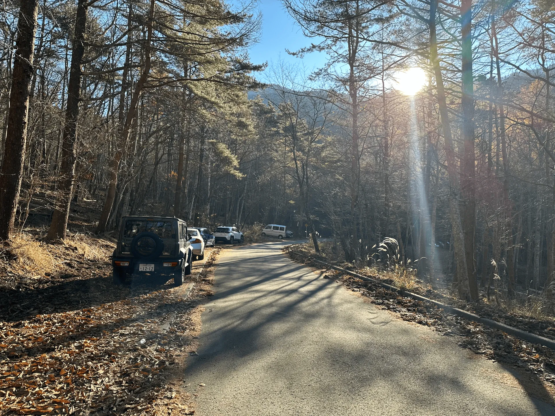
Generally if you were in Tokyo, you would never randomly park alongside the road, but it’s a common sight in the mountains. Only one time did I see people get warnings (I don’t think fines?) for it, and that was in an area where there were explicit signs saying “do not park here”.
Note that there is also a carpark directly next to the information centre, however this was blocked off as it’s only accessible for the shuttle buses.
When to climb Mt Kurodake
Since one of the main highlights of Mt Kurodake is being able to see Mt Fuji, you’ll be looking to climb it in the colder months, when your chances of seeing Mt Fuji are higher. Looking at YAMAP, the majority of hikers come in November to coincide with the autumn leaves season, and in December and parts of January as well, before it gets too cold. It is high enough elevation that there will be snow in winter, so expect the trails to have snow in February and March.
February and August tie for being the least popular months to hike Mt Kurodake, and this is because Japan’s summer is no joke. August is the hottest month of the year, and with a max elevation of 1792m, that’s still a pretty hot place to be in summer. I’ve climbed other low-elevation Yamanashi mountains in summer and the bugs can get pretty bad as well. I would recommend finding higher elevation mountains to climb in the summer months!
You can see the latest trail conditions on YAMAP here.
Comments
Leave a comment