- Elevation 2230m
- When to climb
Mountain stats
Mt Mizugaki (瑞牆山, Mizugaki-san) is a Hundred Famous Mountain located in the Okuchichibu mountains. I did this one as a daytrip from Tokyo, but it’s often paired together with the neighbouring Mt Kinpu (金峰山, Kinpu-san) as an overnight camping trip.
I climbed this at the beginning of November 2022 (actually, the day after I climbed Mt Daibostatsu) so there was some nice autumn foliage going on.

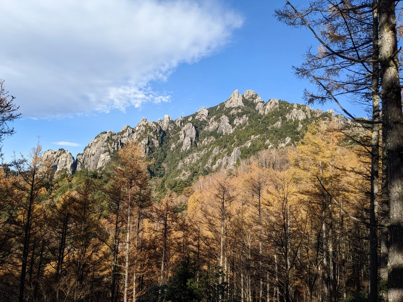
The trail starts with view of the summit of Mt Mizugaki. I always find it super exciting when you get to see the peak from the start of the trail. It seems so far away but you’re like “I’m gonna get to climb that thing!”
It’s also a pretty rocky, unique-looking peak compared to other Japanese mountains. It felt like I was looking at a mountain from another country, like America’s Yosemite (not that I’ve ever been!).

Once you get past the initial stages of the trail the climb gets quite steep, with lots of rocks. It’s only a 5.5km course, but since there’s 900m of elevation gain it’s deceptively difficult.
The terrain was quite different from any mountain that I had climbed until that point. There was a lot of boulders and fallen tree debris scattered on the trail.


Once you’re partway up you get a clear view of the surrounding mountains. This climb was very tiring since you keep having to haul yourself up on one boulder after another.


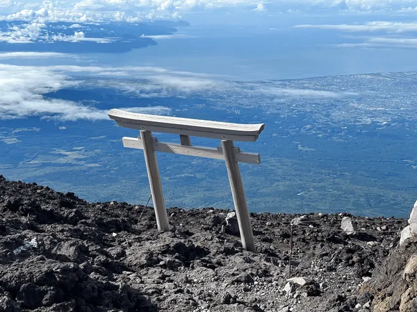
Once you reach the peak of Mt Mizugaki, there’s great views of the surrounding mountains. This time we got a clear view of Mt Fuji in the distance as well.


The trail is an out-and-back course so it’s back down the same way you came. At this point my knees were hurting.

Finally back at Nirasaki train station, you get to say your goodbyes to Mt Fuji.

Hiking course details
| Date climbed | Length | Course time |
|---|---|---|
| 2022-11-03 | 5.5km | 5h30m (the expected time for an average hiker without breaks) |
This course we took is the shortest possible one, but is more difficult than it looks due to the elevation gain. There is also a 9km loop course.
There are toilets available at the trailhead.
Public transport access with example schedule
- You can find the latest bus schedule here
| Time | Location | Transport | Cost | |
|---|---|---|---|---|
| 05:29 | 東京(とうきょう) | Train | 2640 | |
| 08:30 | 韮崎 (にらさき) | |||
| 08:50 | 韮崎 | Bus | 2100 | |
| 10:09 | みずがき山荘 (みずがきさんそう) |
The 5:29 start involves getting on a local train. If you want to spend an extra 1580yen, you can get on an express train (requires you to book tickets) and save 30mins.
For the bus, it might have been cash-only, so I recommend bringing some just in case.
16:30 is the final bus back, so I would recommend being careful of the time. I opted for the express train home since the local train increases your commute by an hour.
| Time | Location | Transport | Cost | |
|---|---|---|---|---|
| 16:30 | みずがき山荘 | Bus | 2100 | |
| 17:50 | 韮崎 | |||
| 18:25 | 韮崎 | Express train | 4220 | |
| 19:16 | 東京 | |||
| Trip total: | 11060 |


Comments
Leave a comment