- Elevation 2486m
- When to climb May - November
- The most popular course is a 7.5km out-and-back from the Nikko Futarasan Jinja, which should take under 7 hours. The shrine has a 1000 yen fee to access the trailhead.
Mountain stats
Just under 4 hours from Tokyo to the trailhead, via a local train to Nikko, then a local bus to the trailhead.
A 2.5 hour drive from Tokyo, with parking at the trailhead.
Mt Nantai (男体山) is one of the two 100 Famous Mountains located in Nikko National Park in Tochigi. I climbed it on an August weekend in 2023, pairing it together with Mt Nikko-Shirane which I climbed the following day.
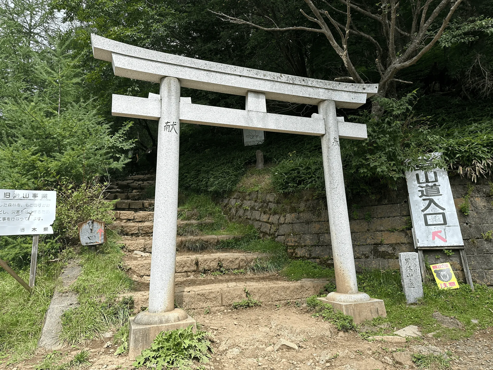
With good public transport access via Nikko station, Mt Nantai is doable as a day hike from Tokyo. The most popular course is a 7.5km out-and-back from Futarasan-jinja Shrine. At first glance, the distance might make it seem like a relatively easy hike. But don’t be fooled - there’s also 1200m of elevation gain, so expect a total hike time of around 6.5 hours.

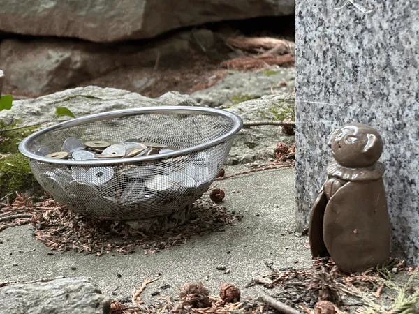
To enter the hiking course, you’ll have to pay a 1000 yen fee to the shrine. You do get a omamori (or good luck charm) from the shrine though.
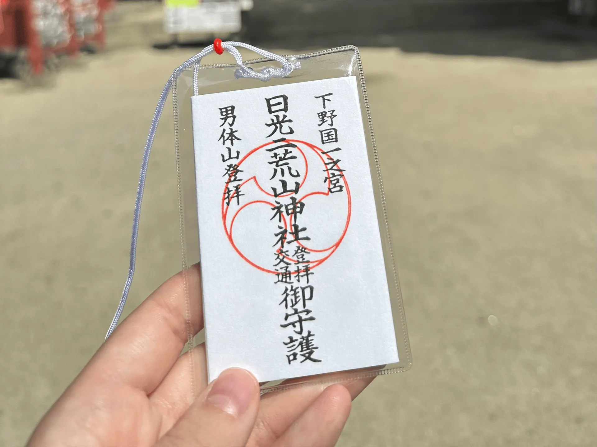
We had a short conversation with the man handing them out, who proudly told us that Mt Nantai is the “hardest hyakumeizan”. I can’t say I agree! His reasoning was that although there are other mountains with more difficult courses, you will usually have the option to split the hike up into two or more days via a tent or mountain hut stay. Mt Nantai has no such option, and you have to commit to climbing it within the one day. So maybe it could win a competition on that technicality (I am still doubtful, though).
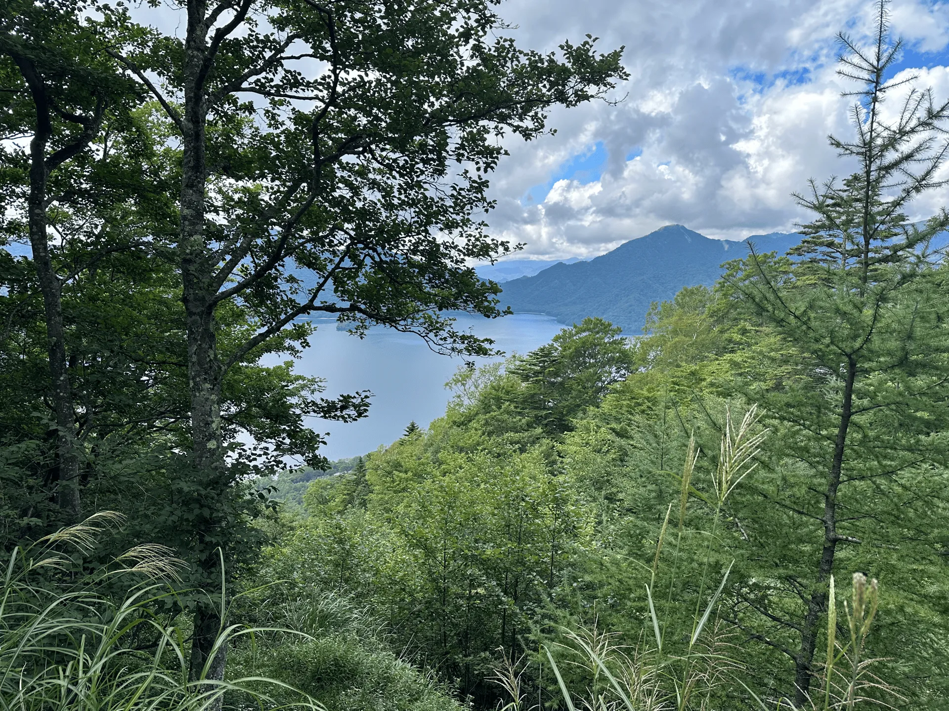
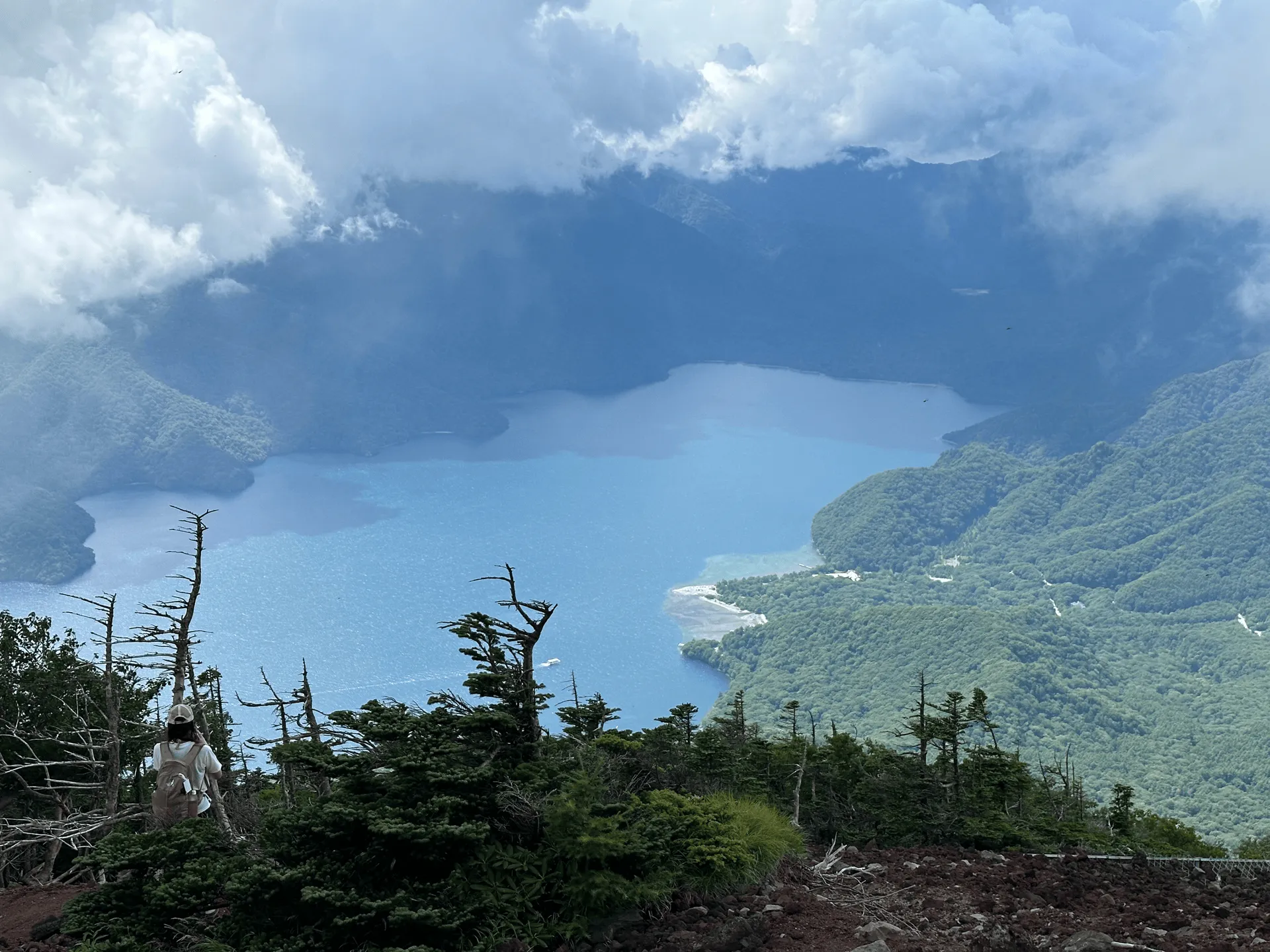
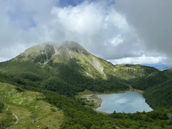
As you climb, you’ll have the opportunity to look out behind you and see Lake Chuzenji below.
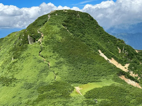
Certain sections will have you scrambling over large rock. Plenty of people (including myself) took the opportunity to have a quick break here. The boulders make a nice seat.
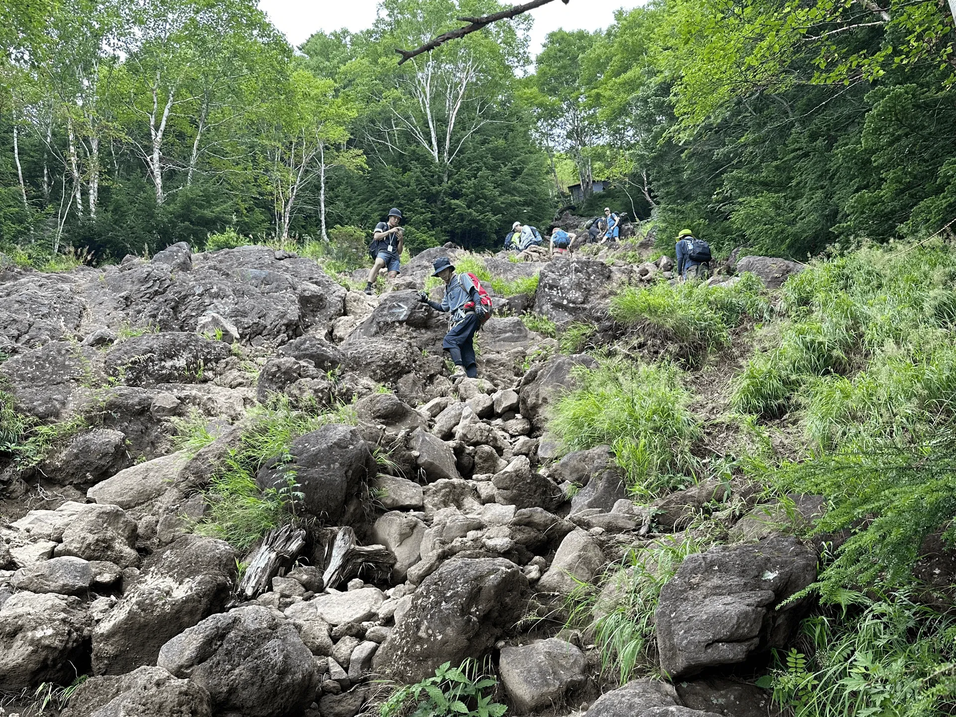
Since the trail is so steep, I suppose they have to reinforce the path with sandbags to keep it from eroding too much.

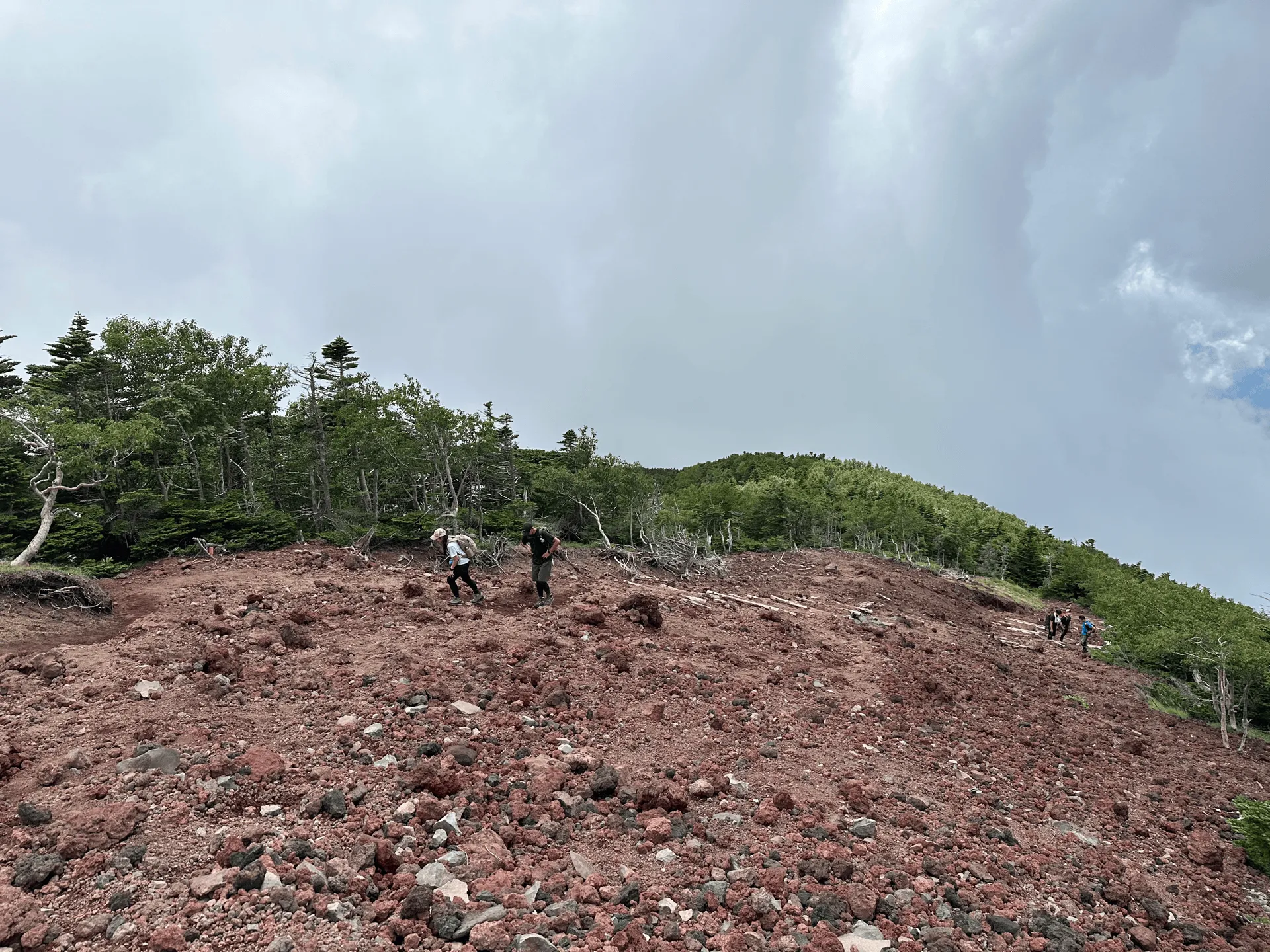
The final stretch up to the summit is more rocks, but the dirt also becomes more reddish in colour. Apparently Mt Nantai is still classified as an active volcano, although the last time it erupted was 7000 years ago.
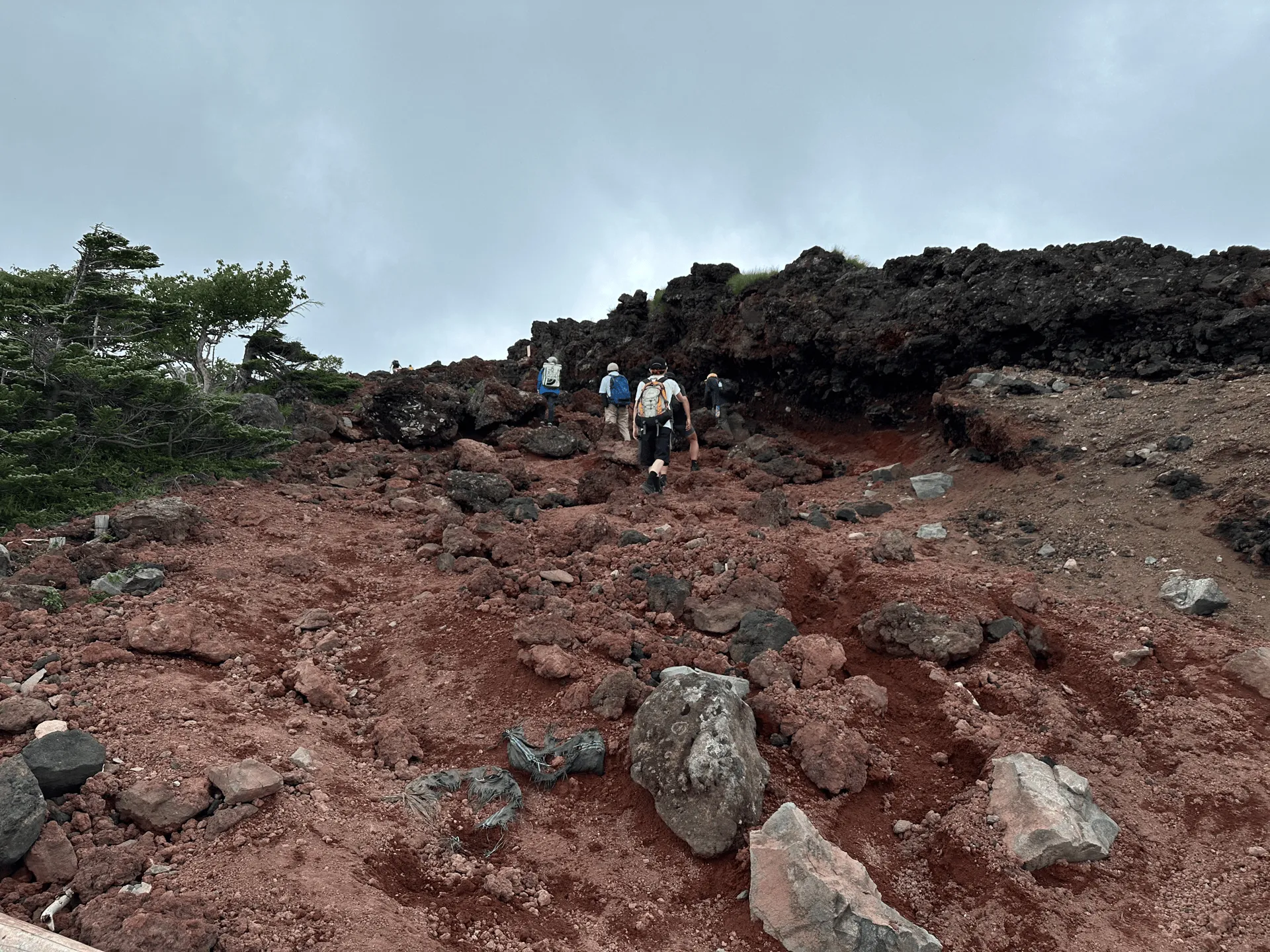
You should reach the summit within 4 hours of climbing. Right near the summit, there is a large bell you can ring if you want to celebrate your successful climb.
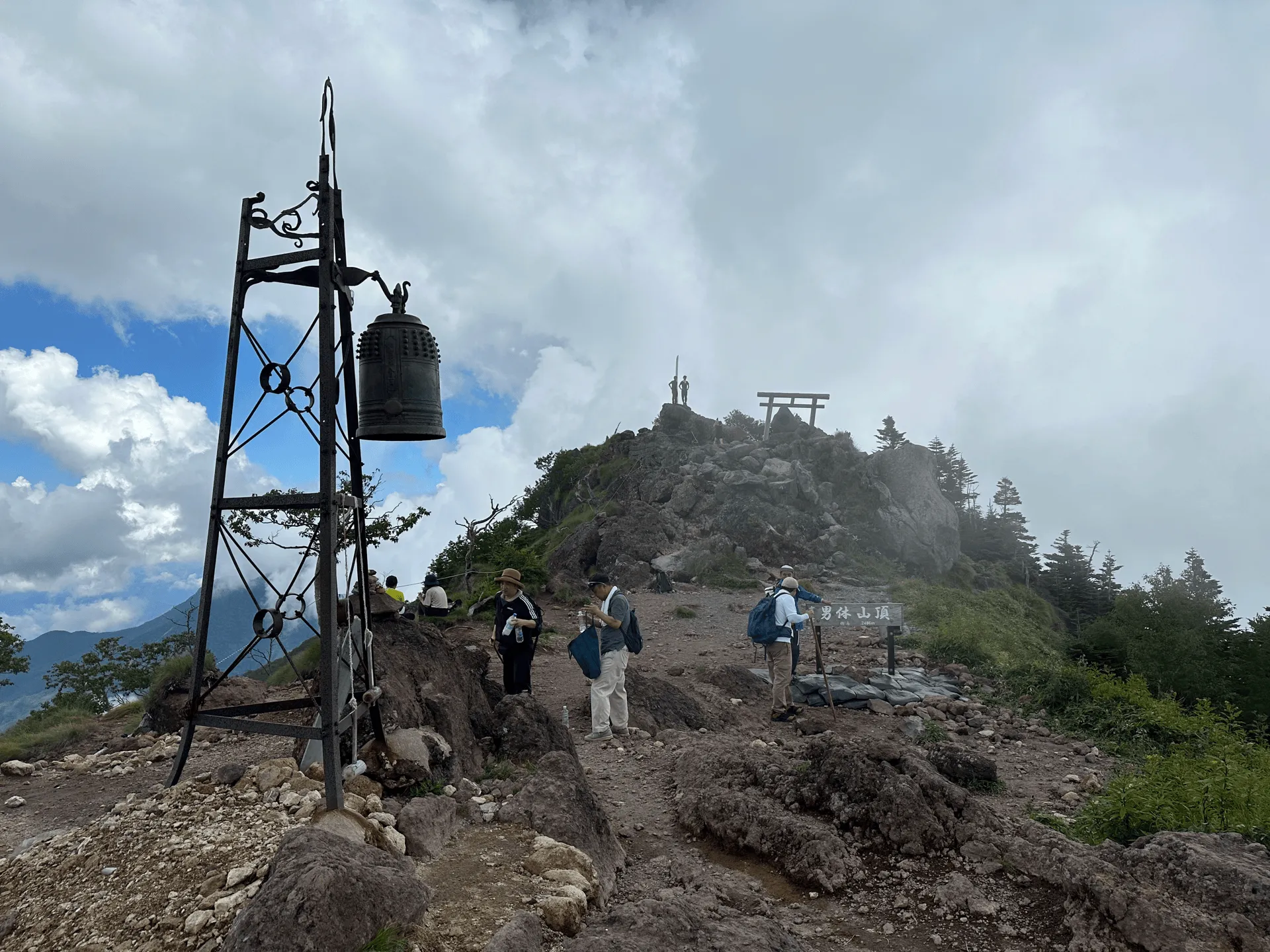
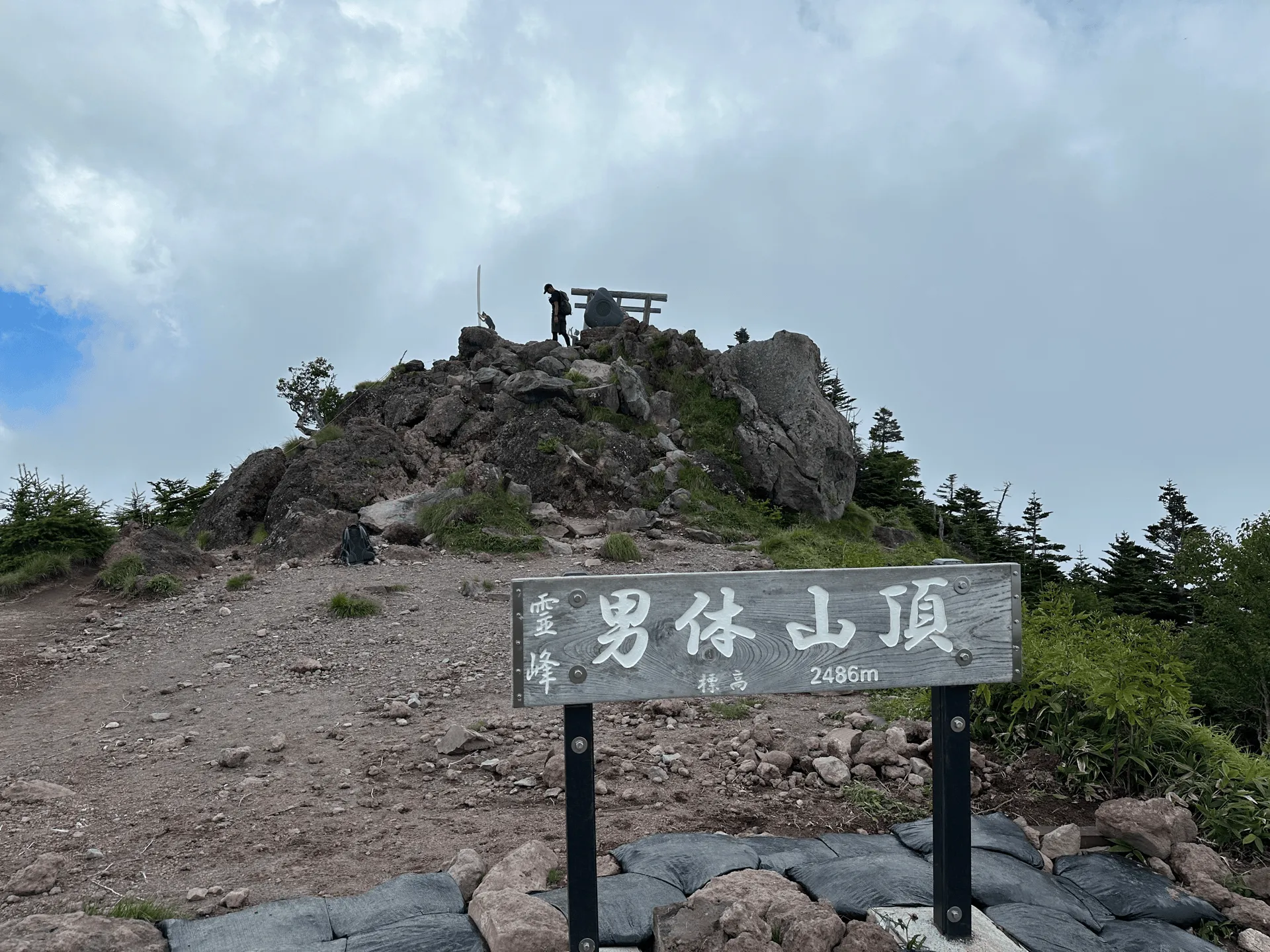
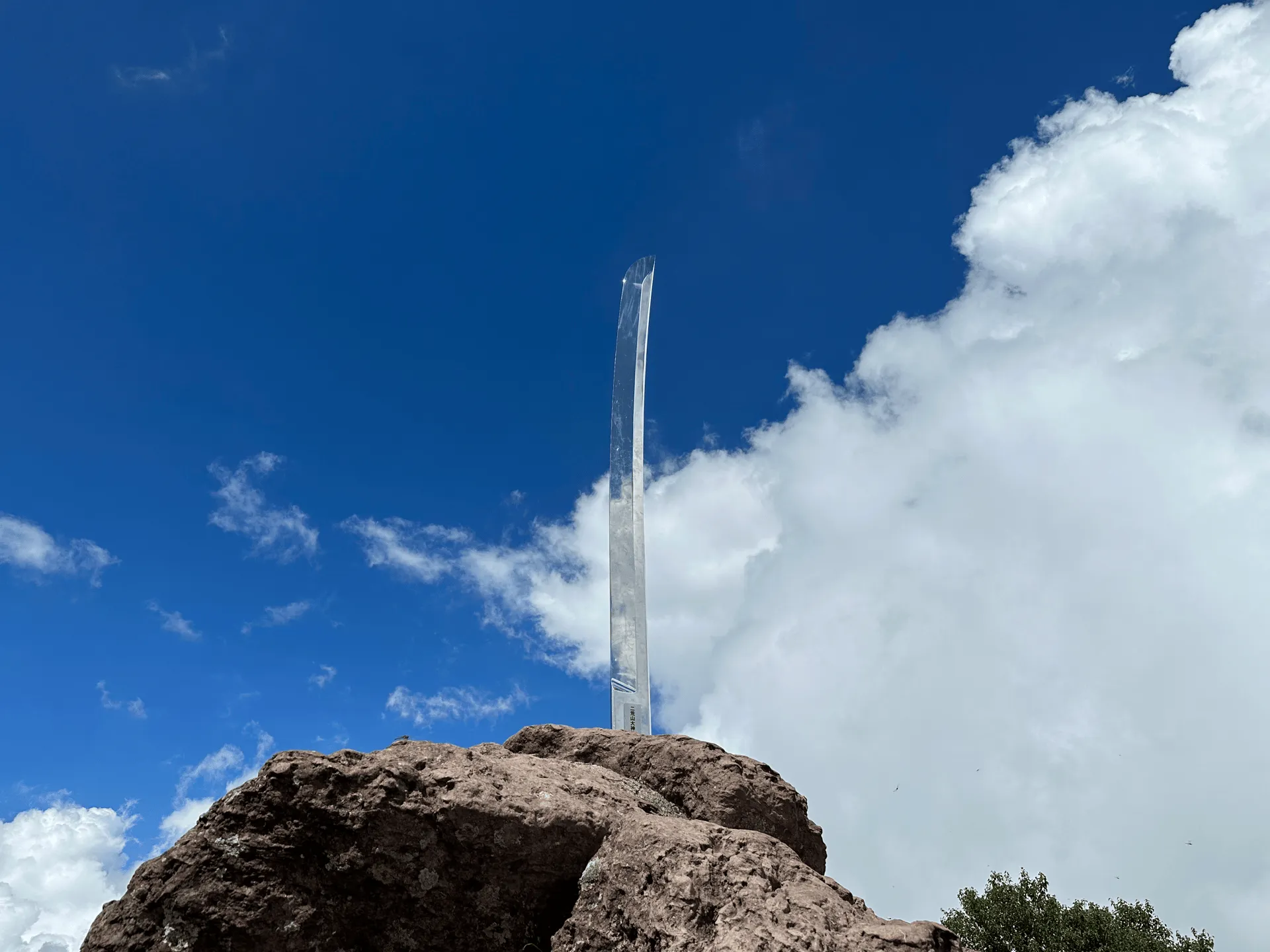
And just beyond the summit marker lies the most iconic feature of of Mt Nantai’s peak - a large 3.5m-tall sword. Very shiny, and makes for a great photo opportunity.
We had some great blue skies behind the sword, but looking down towards Lake Chuzenji our view was a bit hazy, as the clouds kept swirling in and out around the peak.
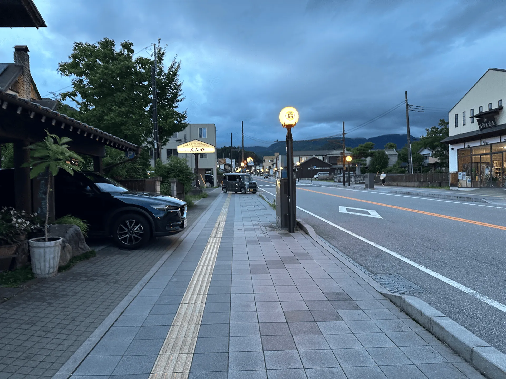
From the peak, we took the same route down, and finished our hike around 16:30. Since I was planning on climbing Mt Nikko-Shirane the next day, I got on the bus back to the town of Nikko, and spent the night at a tiny business hotel. Some of my friends headed back to Tokyo, while my other friend who was joining me for Mt Nikko-Shirane opted to save money and spend the night at a campsite closer to Mt Nikko-Shirane’s trailhead instead.
Hiking course options
| Date climbed | Length | Course time |
|---|---|---|
| 2023-08-26 | 7.5km | 6h40min (the expected time for an average hiker without breaks) |
Mt Nantai only has two trailheads, and a total of 3 possible courses:
- A 7.5km out and back from Futarasan-jinja shrine (二荒山神社)
- A 15km out and back from Bonjisanba-ato (梵字飯場跡)
- A 14km point-to-point course, starting at one trailhead and ending at the other
The first course option is by far the most popular one that most hikers take. Although it’s only 7.5km - don’t be fooled. This course includes 1200m of elevation gain. As a general rule of thumb, I find courses with a ratio of 100m elevation : 1km to be fairly standard (i.e. 700m gain over 7km total) so this is quite a steep course in comparison.
Make sure to bring a spare 1000 yen with you, as you’ll need to pay it at the shrine entrance.
Public transport access with itinerary
Getting to Nikko station
Mt Nikko is viable as a day hike from Tokyo, although I would say since Nikko is a tourist spot in itself and Mt Nikko-Shirane is nearby, I would take the opportunity to make a weekend out of it (whether you do another hike or take a more leisurely second day).
Starting from Tokyo, you can get to the trailhead just before 10am, which should give you enough time to hike and finish before 5pm.
| Time | Location | Transport | Cost | |
|---|---|---|---|---|
| 05:53 | Tokyo (東京) | Local train | 1990 | |
| 08:18 | Tobu-Nikko Station (東武日光駅) | |||
| 08:42 | JR Nikko Station (日光駅) | Local bus | 1400 | |
| 09:42 | Nikko Futarasan Jinja (二荒山神社中宮祠) |
If you want an earlier start, you may be able to make the quick transfer from Nikko station to the 07:50 bus. Make sure you don’t miss it, as you’ll have to wait nearly an hour for the next bus:
| Time | Location | Transport | Cost | |
|---|---|---|---|---|
| 04:46 | Tokyo Station (東京駅) | Local train | 2640 | |
| 07:45 | Nikko Station (日光駅) | |||
| 07:50 | Nikko Station | Local bus | 1950 | |
| 08:44 | Nikko Futarasan Jinja (二荒山神社中宮祠) |
You can come to Nikko via either Tobu-Nikko or JR Nikko station, and the two are within walking distance of each other. The bus to the shrine first starts at JR Nikko station, and then makes a stop at Tobu-Nikko station. If you come via Tobu-Nikko and have some spare time, I would recommend walking to JR Nikko and lining up for the bus there to increase your chances of getting on and/or getting a seat.
Since there are a couple of methods to get to Nikko, I recommend using Google Maps to find the best route for you. Make sure not to just choose the first available option, as you could end up spending 3,500 yen when really you could spend about 2,000 yen for a journey that doesn’t take that much longer.
From Futurasan Jinja back to Nikko
| Time | Location | Transport | Cost | |
|---|---|---|---|---|
| 17:09 | Nikko Futarasan Jinja | Local bus | 1400 | |
| 18:00 | JR Nikko Station | |||
| 16:19 | Tobu-Nikko Station | Local train | 2640 | |
| 21:11 | Tokyo Station |
In terms of buses from the shrine back to the station, it seems that they run at least twice an hour between 3pm and 5pm, with the final two buses at 18:23 and 19:51. (Although I would definitely recommend that you try and aim for one of the 5pm buses at the latest).
If you hold a non-Japanese passport, there also seems to be the Nikko Pass which gives you free bus and train access for 4780 yen, which is some decent savings. It seems you do have to get on and off the train at Asakusa station to make use of this, though, so it might depend on how you are planning to get to Nikko.
Car access details
You can access Mt Nantai by car. As it is a popular tourist destination, there seems to be plenty of car parks in the area near the shrine. Some may require you to pay 500 yen.
When to hike Mt Nantai
Access to Mt Nantai is regulated by the Nikko Futarasan-jinja Shrine, which sits at the foot of the mountain. In past years, the mountain opened on the 5th of May each year, but since 2019 the hiking season has been extended to begin on the 25th of April, and continue until the 11th of November.
However in late April and early May, there may still be some lingering snow, so I would recommend checking YAMAP for the latest hiking logs to see the trail conditions before you hike around this time.
Leave a comment