
- Elevation 3026m
- When to climb
Mountain stats
Mt Norikura (乗鞍岳, norikura-dake) is a Hundred Famous Mountain and the southernmost mountain in the Northern Japanese Alps. With an elevation of 3026m, but a hiking course time of under 3 hours, it also has the reputation of being the easiest 3000m+ peak you can do as a day hike in Japan. Since it is a nearly 5 hour drive from Tokyo, I climbed it together with Mt Ontake as an overnight trip.
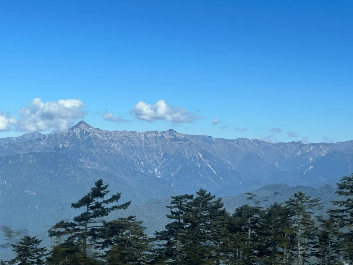
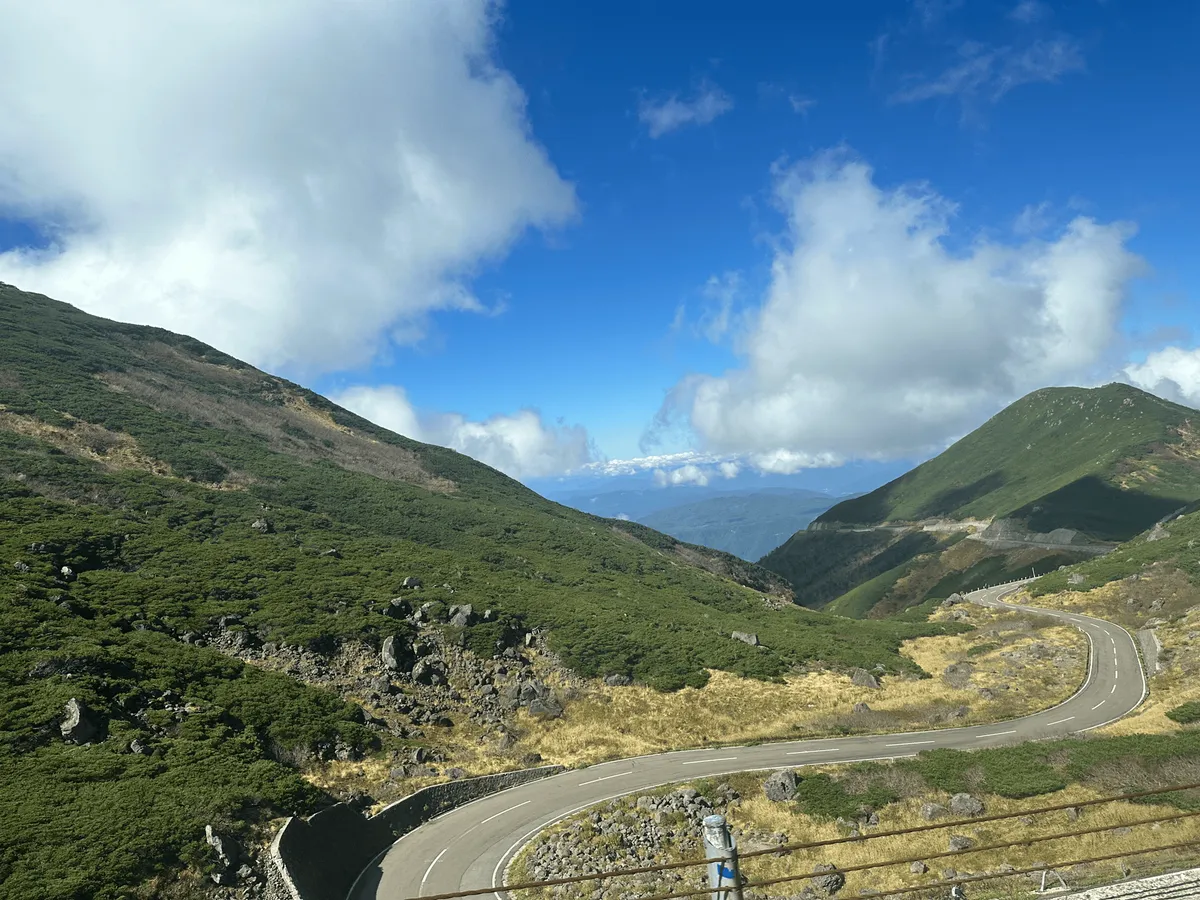
Although we went by car, the trailhead is closed off year-round to private cars, so you must take a 45 minute bus trip along the Norikura Skyline before you can begin your hike. It was quite a scenic trip, with views from the bus out to the rest of the Northern Alps, and the winding roads seemed quite popular with cyclists as well.
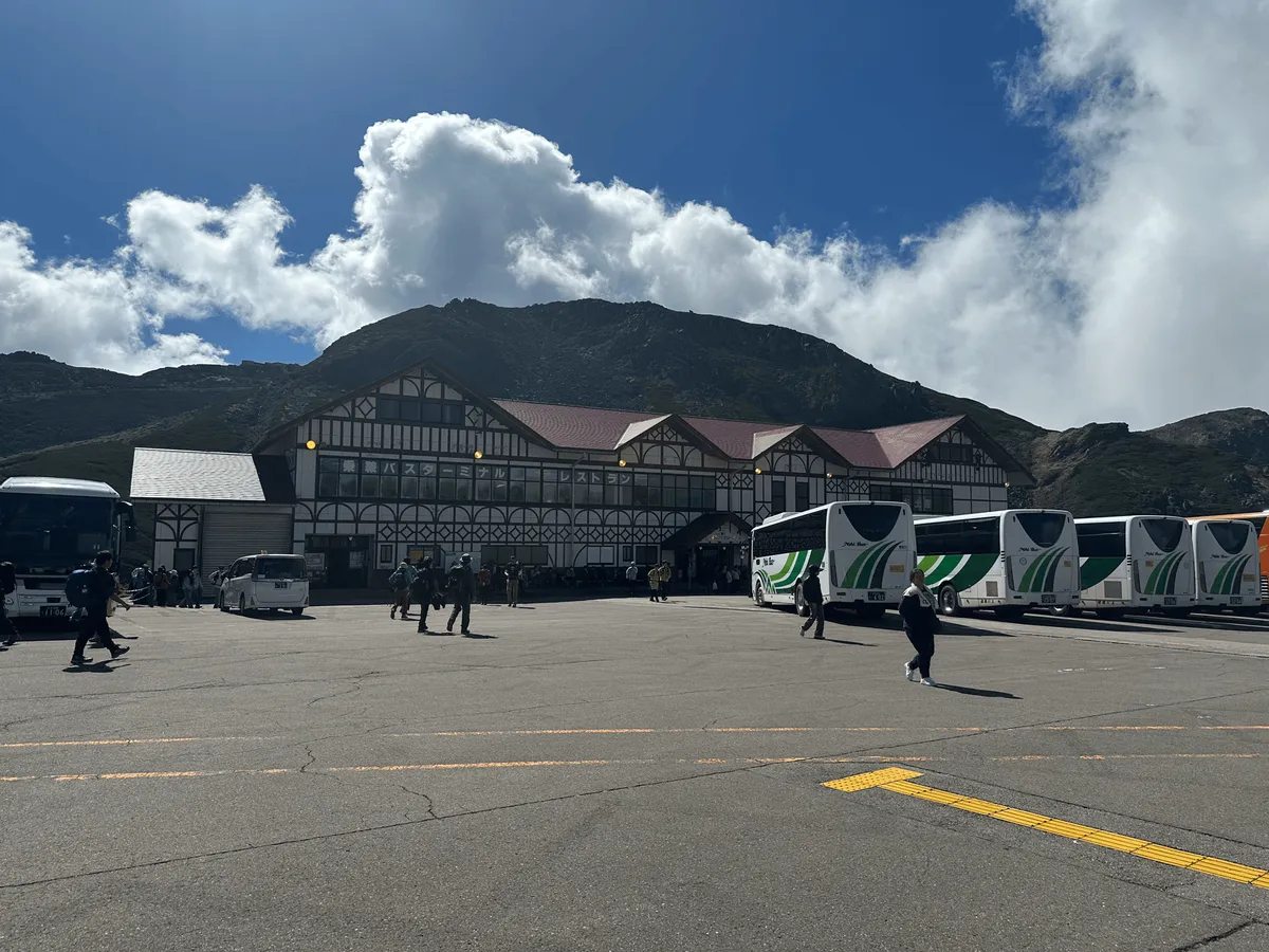
You’ll get off the bus at Tatamidaira bus terminal. At an elevation of 2702m, it is also the highest bus stop in Japan. Just to the left of the main building are some stairs down to the start of the trail.
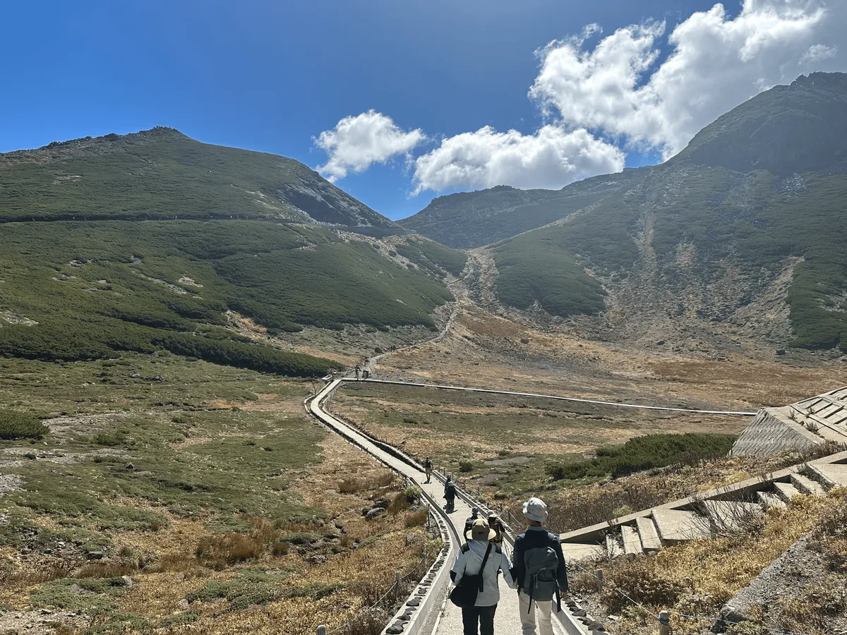
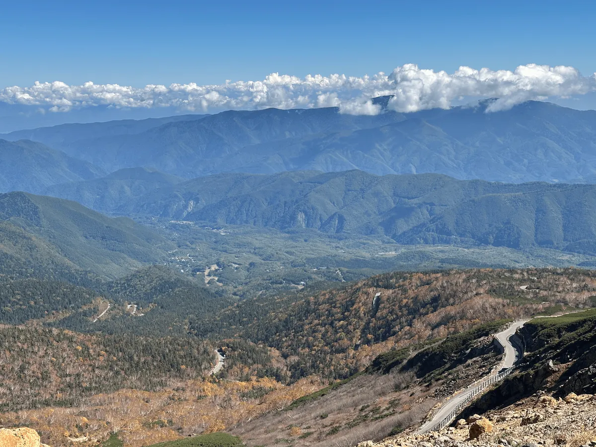
The first stretch of the hike has you mostly walking along a road, as you head towards Mt Norikura. Along the way, you’ll also pass the Kiezuga-ike Pond (不消ヶ池, kiezuga-ike).

As we turned a corner and saw Mt Norikura come into view, we were surprised to see that there was snow on the peak! As it turns out, the day before we climbed (October 12) was the first day of snow for the season (also known as 初雪 or “hatsu-yuki”). It felt pretty exciting to be already seeing the snow, even though we were still having some pretty warm days in Tokyo.
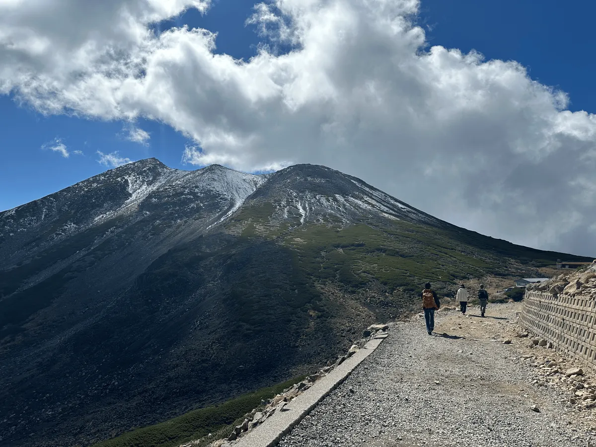
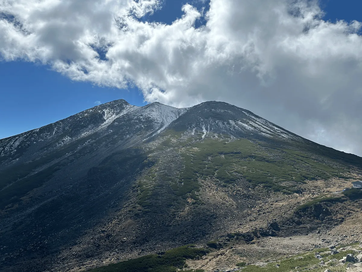
We had started our hike relatively late at 11:30am, so by the time we arrived at the foot of the mountain at the Kengamine trailhead (剣ヶ峰口, kengamine-guchi) it was around 12pm, and plenty of people were already descending off of it.
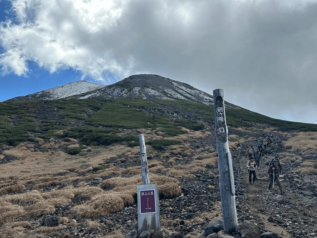
Even so, there were still lots of people climbing, and the trail was quite congested, as the rocky terrain made it hard for people to pass each other in certain sections.
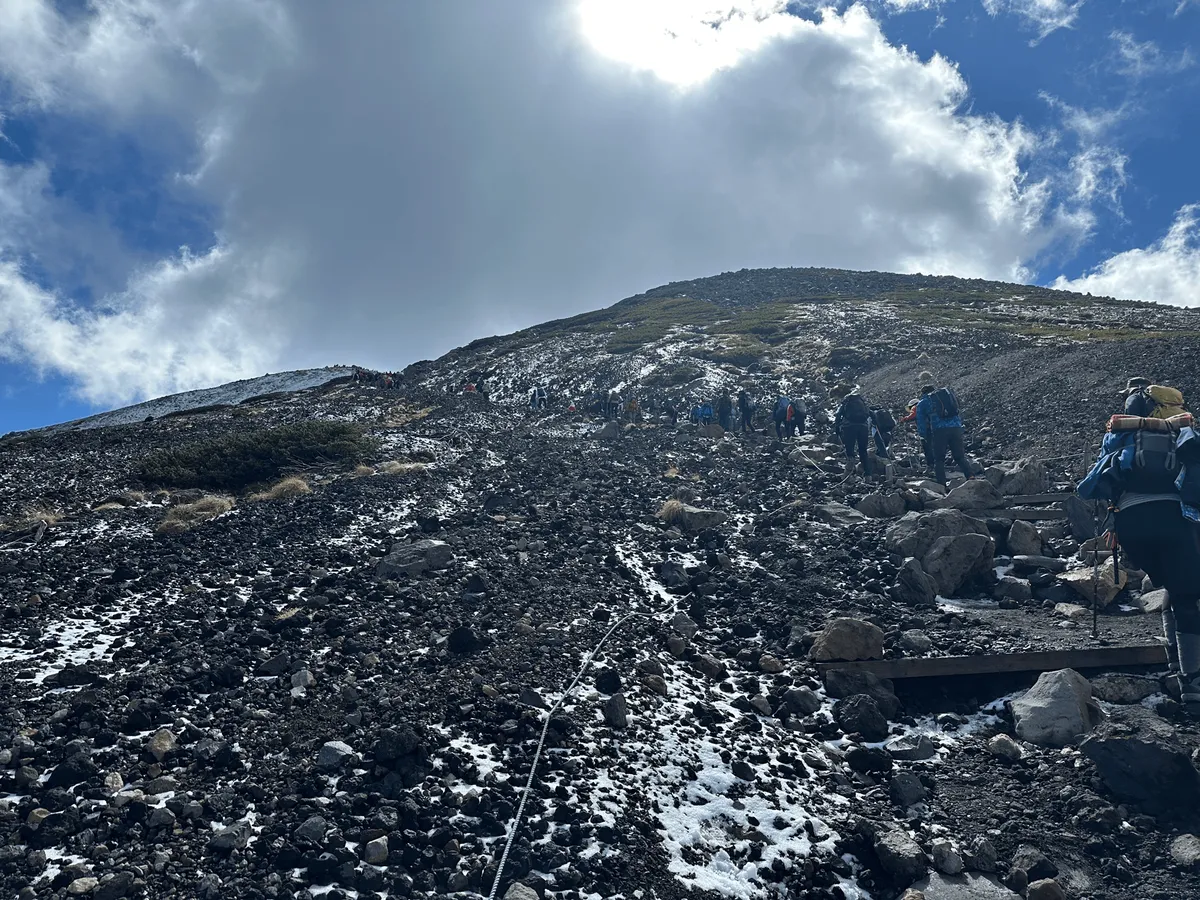

Usually hikers in Japan are very good at following the “people climbing have right of way” hiking rule, but today it felt very much like an every person for themselves kind of situation. Everyone who was descending was just trying to get off the mountain without much regard for others.
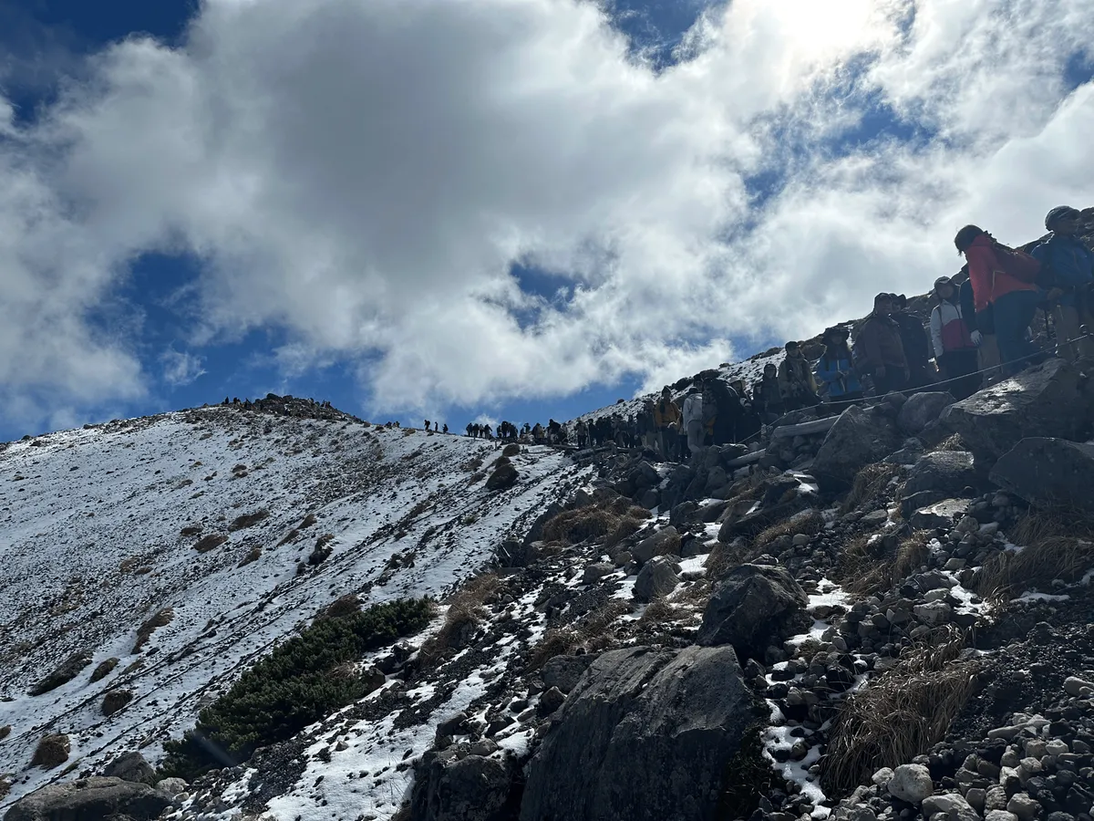
As we climbed, we also passed by our second pond, Gongen Pond (権現池, gongen-ike).
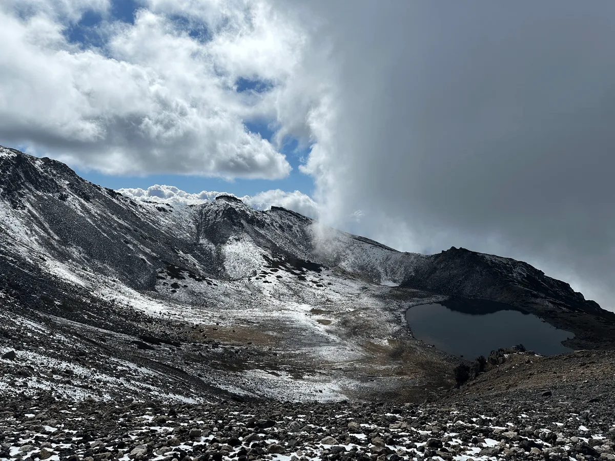
As we slowly climbed, we ended up being sandwiched between two very weird hikers. The man behind was incessantly (and loudly) complaining - repeating “this is hard, this is hard” and “I am so hot, I am so hot”. I wished he would take a break (and get away from us!). And then the man in front of me was wearing a skirt so short that you could clearly see he had coordinated his underwear (pink) to match his jacket (also pink).
He was also accompanied by two barbie dolls - one in his hand, and the other perched on the back of his backpack. What was distinctive about these dolls was that they had very large boobs. Not very child-friendly.
Usually you would be able to escape this sort of situation, but due to the slow-moving line of people, there wasn’t really any way to escape them. I decided to keep my eyes on the ground as I climbed, because otherwise I would see a lot more than I wanted to of this guy’s pink underwear!
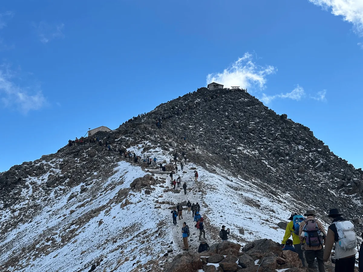
As we approached the final section to the summit, we took a strategic break to let the weird people continue ahead of us. As we looked towards the peak, we realised there was a huge line up the side of it. I was quite shocked to see the amount of people.
I think this is what happens when you try and go hiking on a 3-day weekend in Japan - everyone else has the same idea as you to escape to the mountains. It doesn’t help that Mt Norikura is a very easy mountain to climb as well.
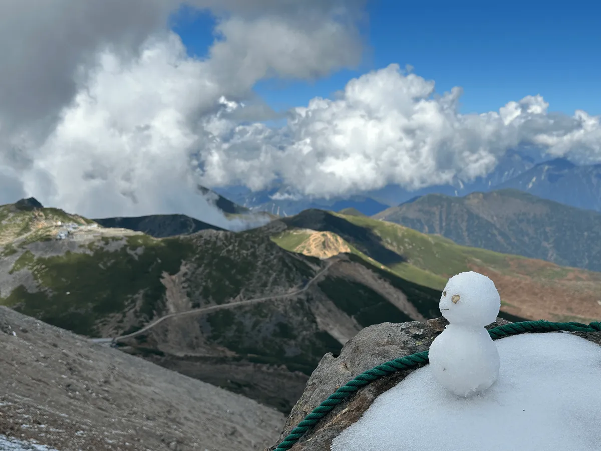
As we slowly inched along in the line to the summit, we also passed by the Mt Norikura summit hut (乗鞍岳頂上小屋).
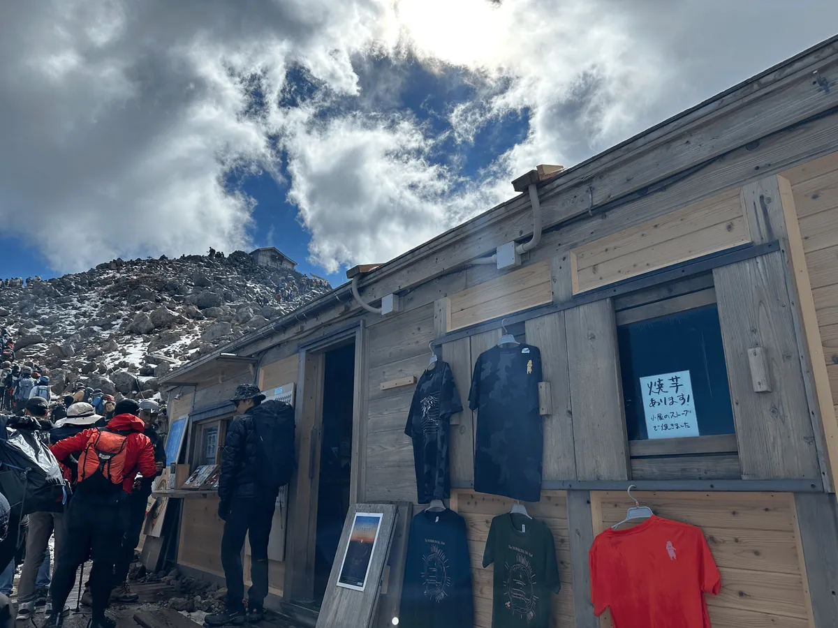

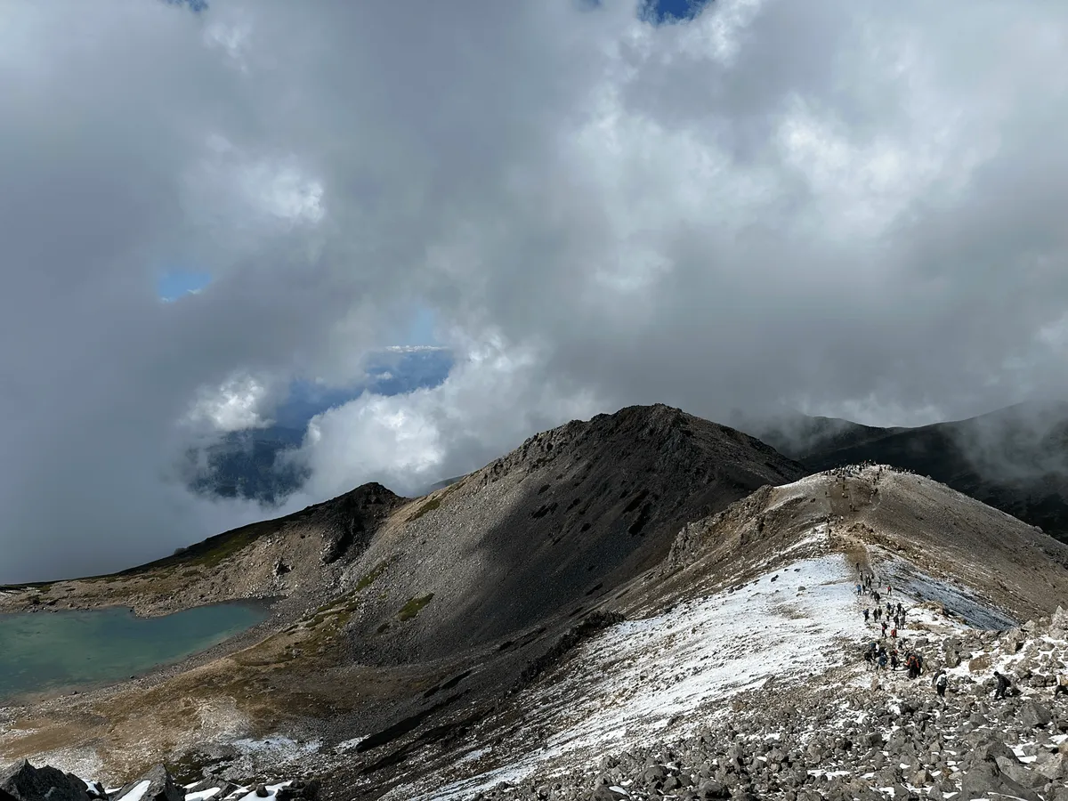
Eventually, after about 40 painful minutes, we reached the summit. It was very full of people. Basically, after you finished lining up to reach the summit, you once again had to line up to get off of it.
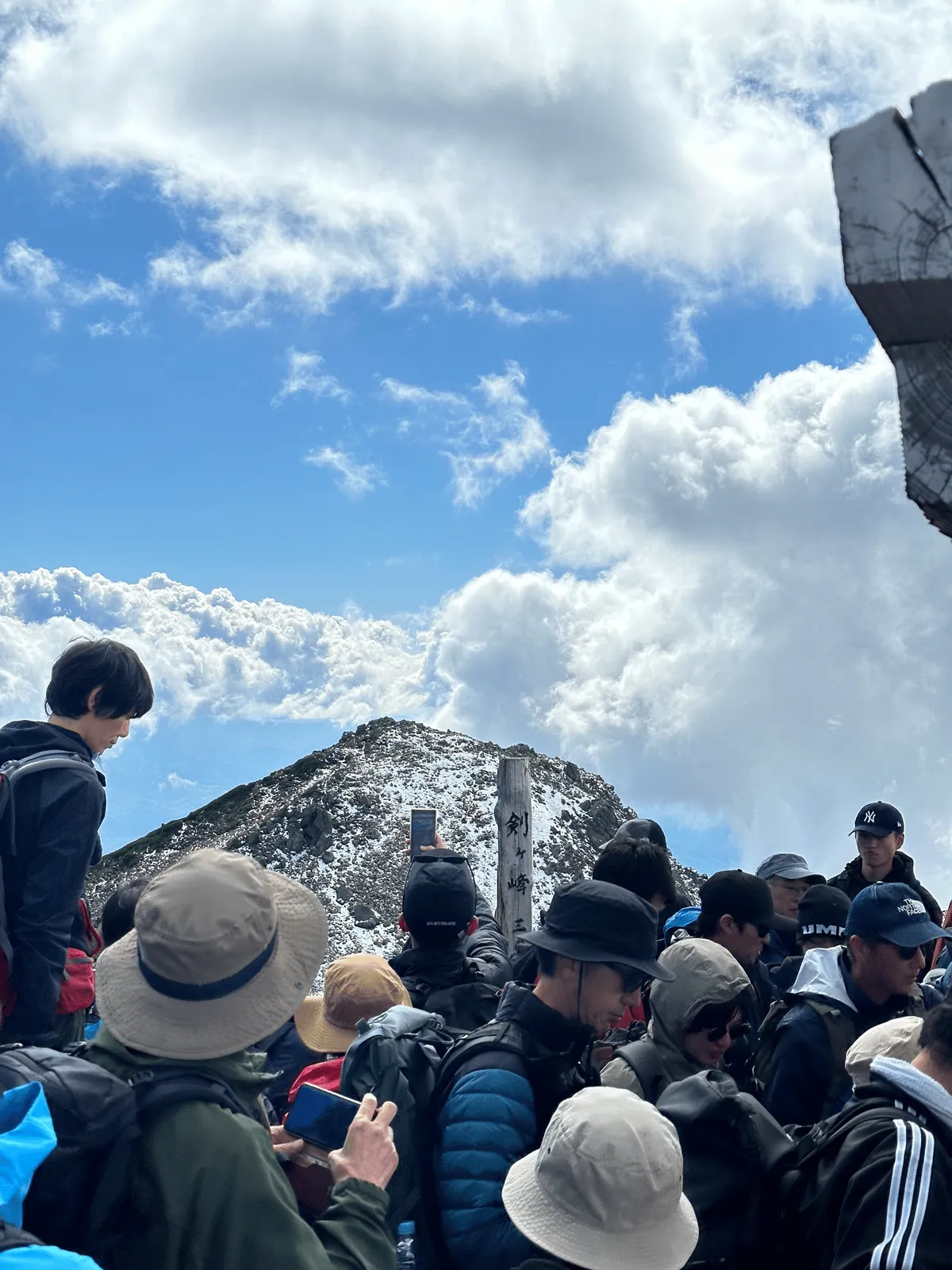

The descent off the summit is over a very narrow and rocky terrain, and so people have to slowly descend single-file. This bottleneck to get off the peak is probably what caused the long lines to reach the peak as well.
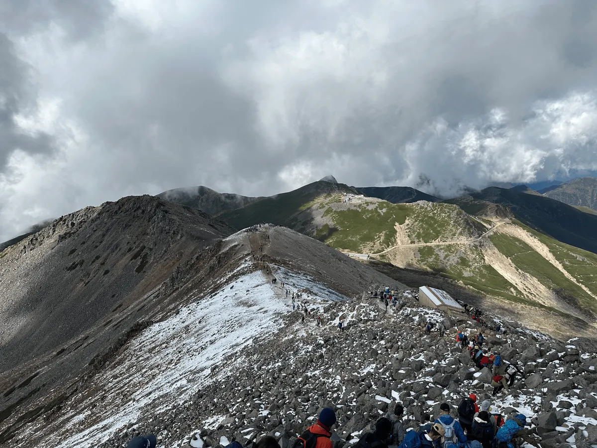
Usually I don’t have any problem taking a photo of the summit marker without any people in it, but I gave up on that idea pretty quickly and just focused on getting out of there.
Once off the peak, I took a look back and it seemed as though the summit queue had reduced quite a bit. I think really we just came at the absolute worst time of day, and you wouldn’t have any problems if you arrived a bit earlier.
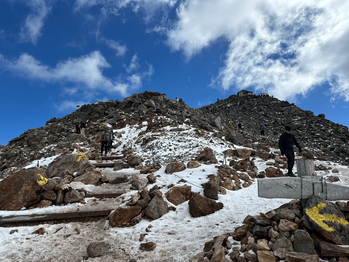
From here, the course takes you back the same way to the trailhead. By this point, I totally understand why no one was following the right of way rule when we were climbing up. After spending a ludicrous amount of time in a line to reach the peak, you just really didn’t care about anyone else - you just really want to get off the mountain!

Once you make it back to the Kengamine trailhead, there is the Katanokoya Hut (乗鞍岳肩の小屋) on the left, where you could buy a quick snack if you wanted to. Otherwise it’s back along the same course to the bus stop. Along the way, you can also take a detour to climb Mt Fujimi (富士見岳, fujimi-dake) but we opted to skip that in favour of getting on an earlier bus back to the carpark.

As we approached the bus stop, we also passed our third pond of the day, Tsuruga-ike Pond (鶴ヶ池, tsuru-ga-ike).
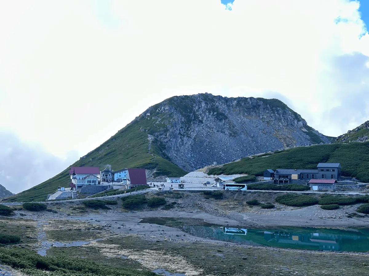

We were a bit worried about the long lines for the bus, but they turned out to be not too bad. Once we got back to our car, we started on our drive home. However, what was supposed to be a 4 - 5 hour drive home probably was more in the range of 6 - 7 hours, due to a ridiculous amount of traffic caused by roadworks and it being a holiday weekend.
Since we passed Matsumoto on the way home, we had dinner there, and decided to do a bit of sightseeing and check out the Matsumoto Castle.
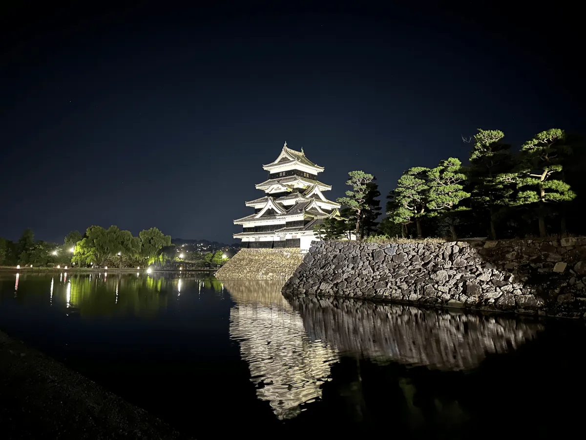
After that, it was back on the road again. We actually ended up stopping at a service area off the highway to take an nap when we realised that the traffic into Tokyo was really bad as well. On the bright side, if you come off the freeway between 12am and 4am, you can get a 30% discount on tolls, so that is what we ended up doing!
All in all, it was a very eventful hike.
Hiking course details
| Date climbed | Length | Course time |
|---|---|---|
| 2024-10-13 | 5.5km | 2h50min (the expected time for an average hiker without breaks) |
The course is a short out-and-back hike that will take you just under 3 hours. I think it is very beginner-friendly, and a great intro to the Northern Alps of Japan. I would just be wary of the crowds.
Public transportation access
Mt Norikura is maybe accessible as a day hike from Tokyo with public transport, if you were really fast with it. I wouldn’t recommend it though.
The official Norikura website recommends taking a highway bus to Hirayu Onsen (平湯温泉). If you get on a 07:05 bus from Shinjuku, you should get to Hirayu Onsen at 11:45.
From Hirayu Onsen, you can then get the 12:30 bus to Honokidaira bus terminal (ほおのき平) before you then transfer onto a second bus to reach the final stop of Norikura Tatamidaira (乗鞍畳平) bus station at 13:40. You can see a full schedule here. Interestingly, if you scroll down on that page, they run at a reduced timetable on rainy days, so please keep this in mind.
Depending on the time of year, the last bus back is either at 15:30 or 15:55 so you’d only have 2 hours to really quickly hike this mountain. But at that point, I would question where it is worth it, coming all this hike, hiking for 2 hours, and then going home again! I would recommend making an overnight trip of it if you can.
A note on bus congestion from Honokidaira bus terminal
We arrived at the Honokidaira bus terminal at around 10:20am. The bus station attendants told us that the queues were quite bad earlier in the day (up to 2 hours), but luckily we got on a bus within 15 minutes. There is technically a bus timetable, but with the large crowds, they put on extra buses as well so it wasn’t strictly following a timetable.
So if you are coming on a weekend (or particularly a 3-day holiday weekend) I would recommend factoring in extra waiting time for the buses.
Although we did end up having good timing with the buses (both there and back) we unfortunately had to deal with large queues at the summit. So I’m not too sure what the best timing is!
Car access details
You will need to park your car at the free Honokidaira carpark (ほおのき平 駐車場) which is right next to the bus terminal. Although we arrived after 10am on such a busy weekend, we were still comfortably able to find a spot in the third carpark. There seemed to be some overflow parking as well beyond that, so at least it seems like the carpark is well-equipped to handle huge crowds.
Leave a comment