- Elevation 1695m
- When to climb
Mountain stats
Mt Odaigahara (大台ヶ原山, oodaigahara-san) is a 100 Famous Mountain on the border of Mie and Nara prefectures. With its short 3 hour hiking course, this hike can be done as a day trip from Osaka, Kyoto and other nearby cities.
Odaigahara is accessible by public transport, as there is a bus running to the trailhead. Since I wanted to climb the nearby Mt Omine the following day, I opted to rent a car instead.
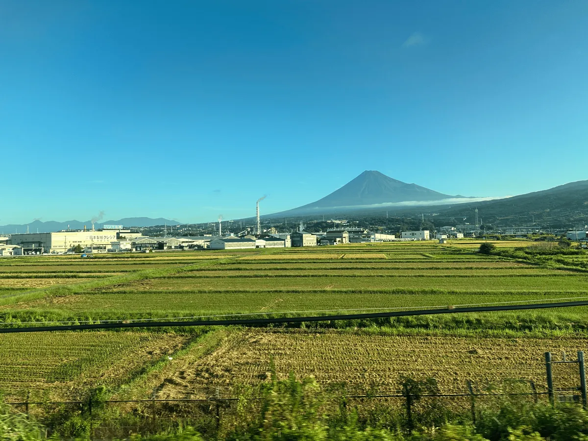
I got on the first Shinkansen out of Tokyo, and after a 2 hour trip made it to Shin-Osaka station at around 8am. When reserving your bullet train tickets, make sure to book a window seat on the right-hand side, and you might be lucky enough to see Mt Fuji!
Once at Shin-Osaka, I hired a rental car and began the 3 hour drive south towards Odaigahara. Honestly speaking, I was pretty nervous about renting a car by myself, and using the highways out of Osaka was a bit hectic with the lane changes, but I managed!
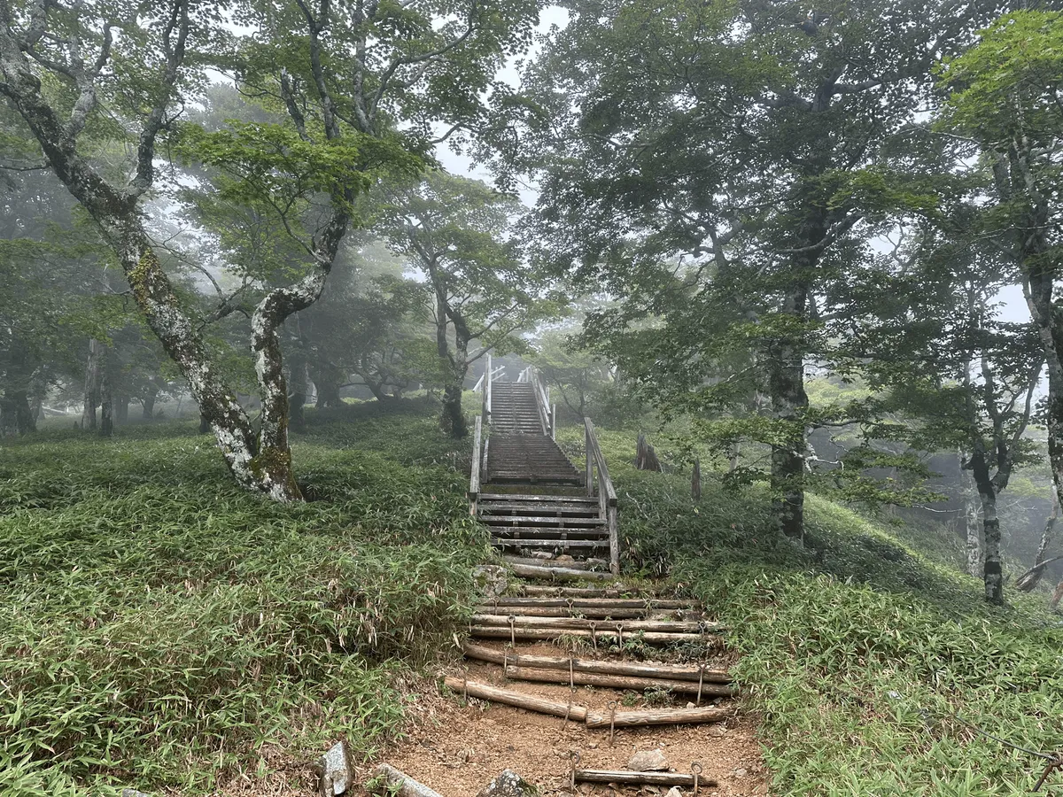
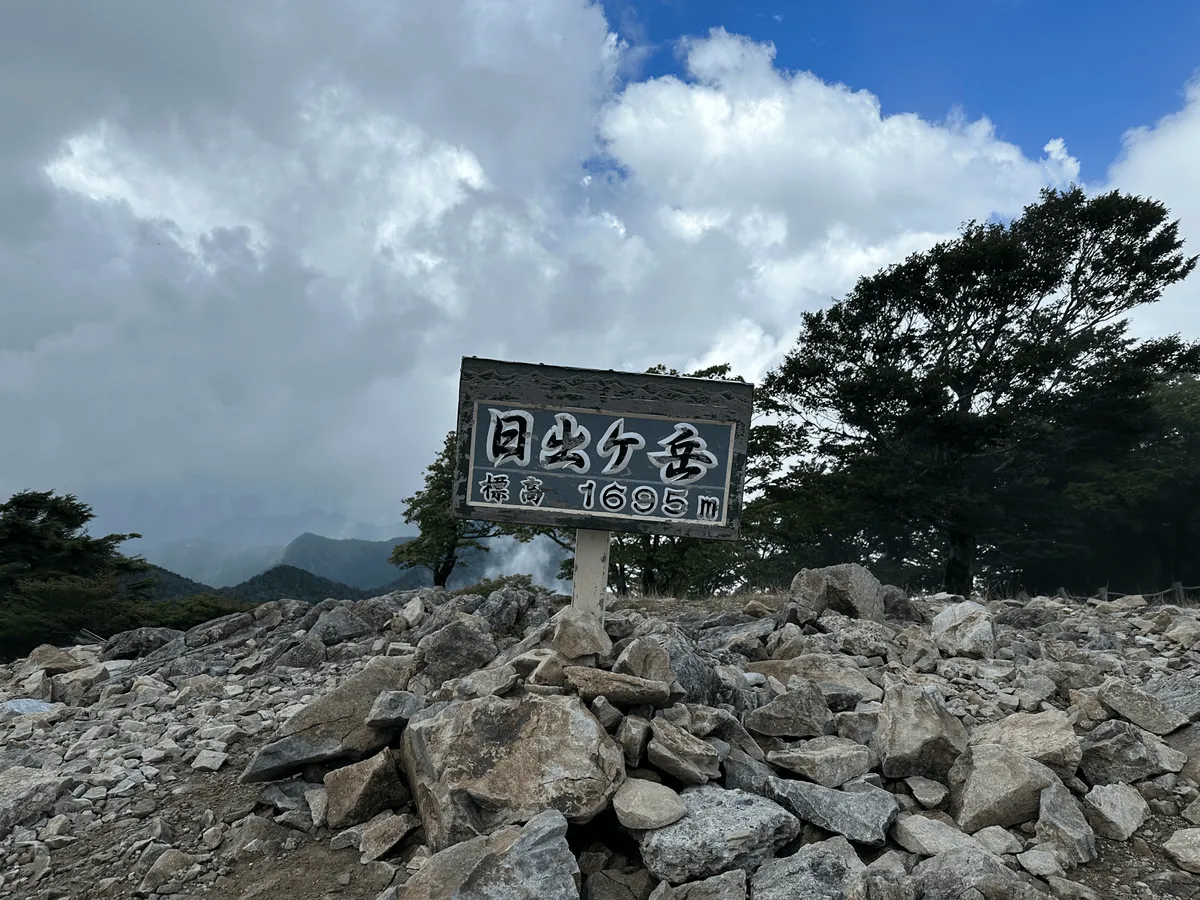
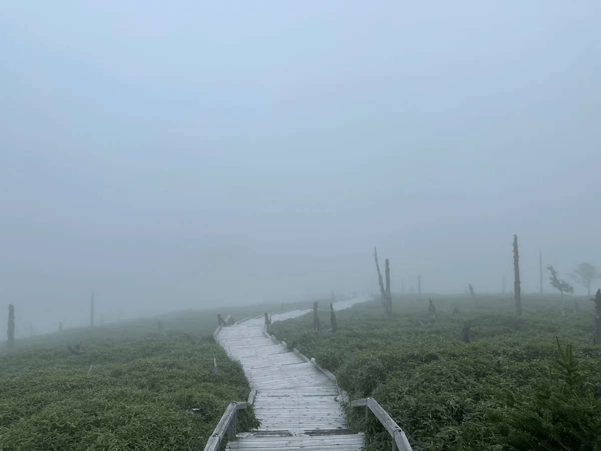
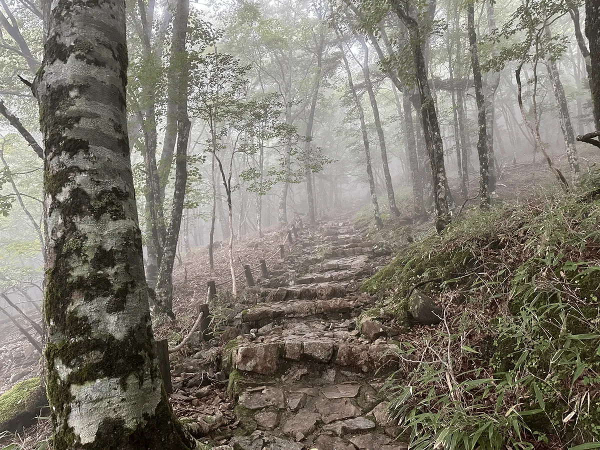
I arrived at the trailhead’s carpark around 12pm and immediately got started on my hike. The trail up to the summit of Odaigahara, also known as Hinode-ga-take (日出ヶ岳), was very easy and took under 30 minutes.


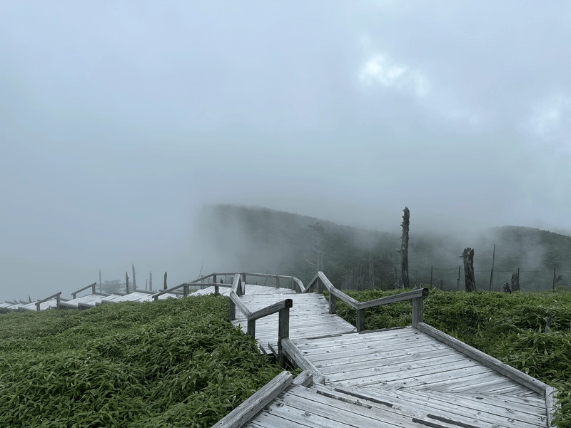
Unfortunately, some fog had rolled in so there wasn’t too much of a view at the peak! At 1695m, this is also the highest peak in the Mie prefecture.

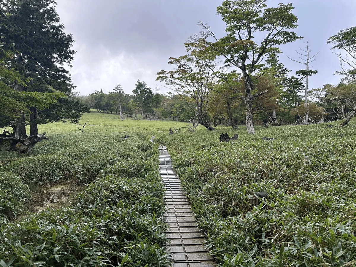
If you really wanted to (or if the weather was bad) you can descend again and finish the whole thing in under an hour, but I didn’t come all this way just to do that! Instead I opted for the standard loop course, which continues along a nice boardwalk.


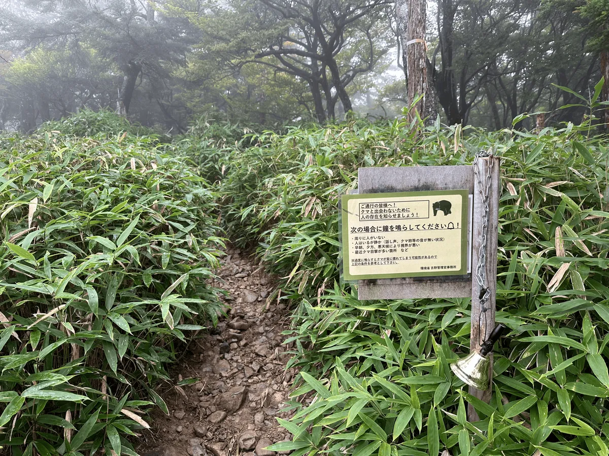
On the trail there were even a couple of spots equipped with a bell. The sign instructs you to ring it if you are hiking alone or if it’s quiet, in order to ward off any bears.
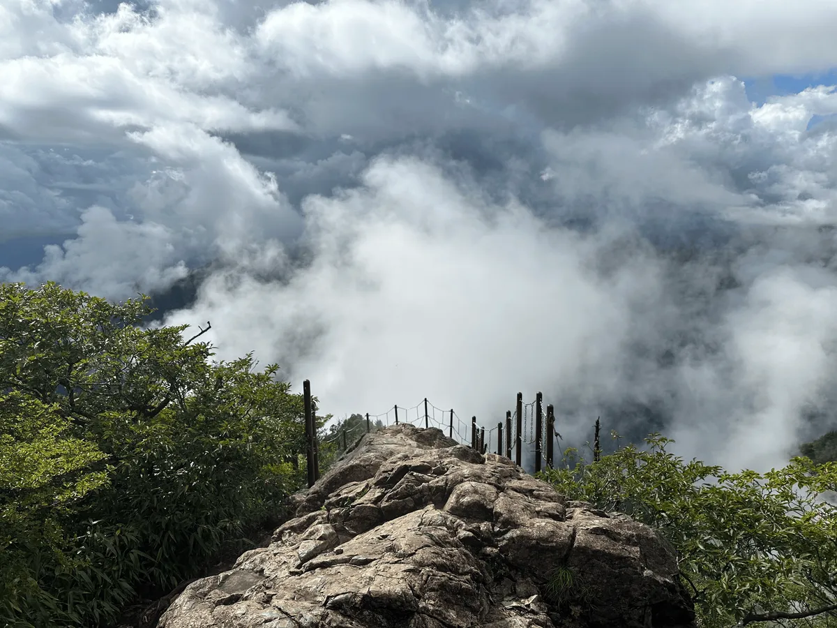
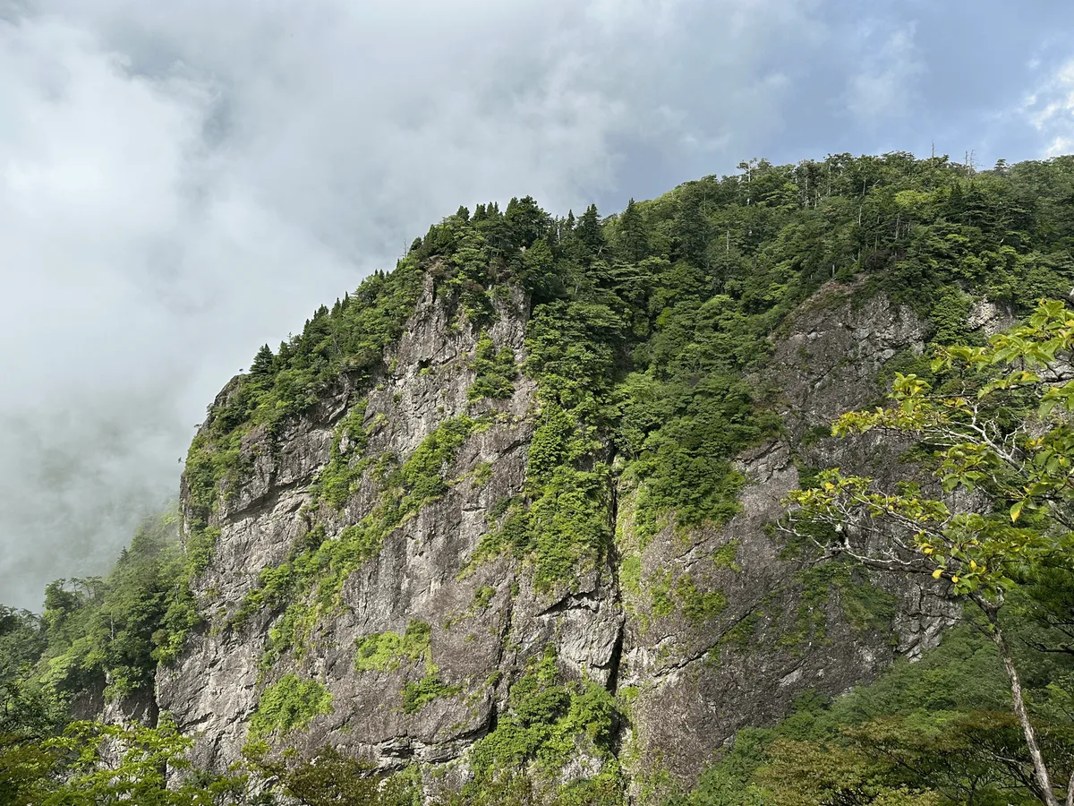
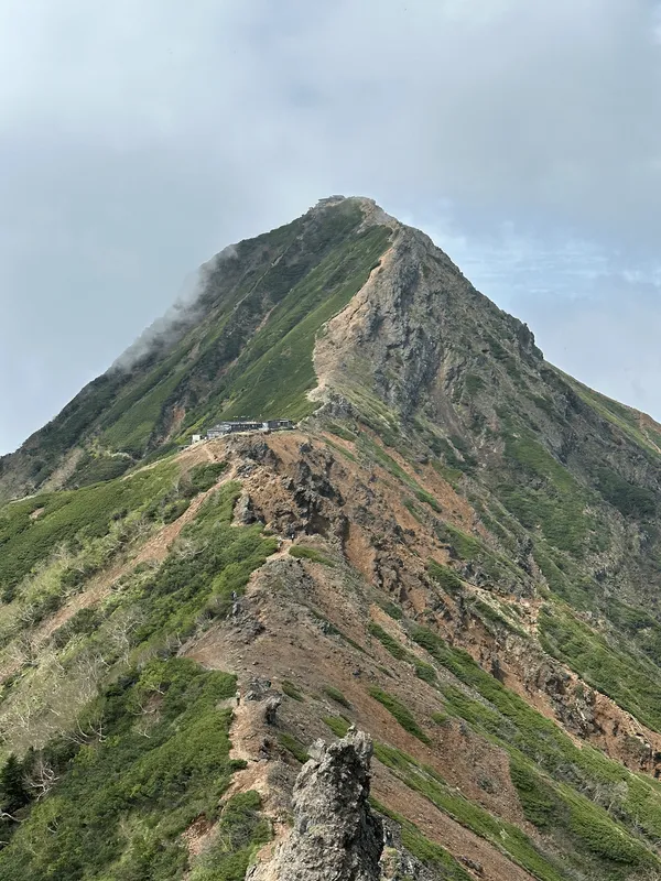
I also took a quick detour towards the Daijagura Cliff (大蛇グラ).
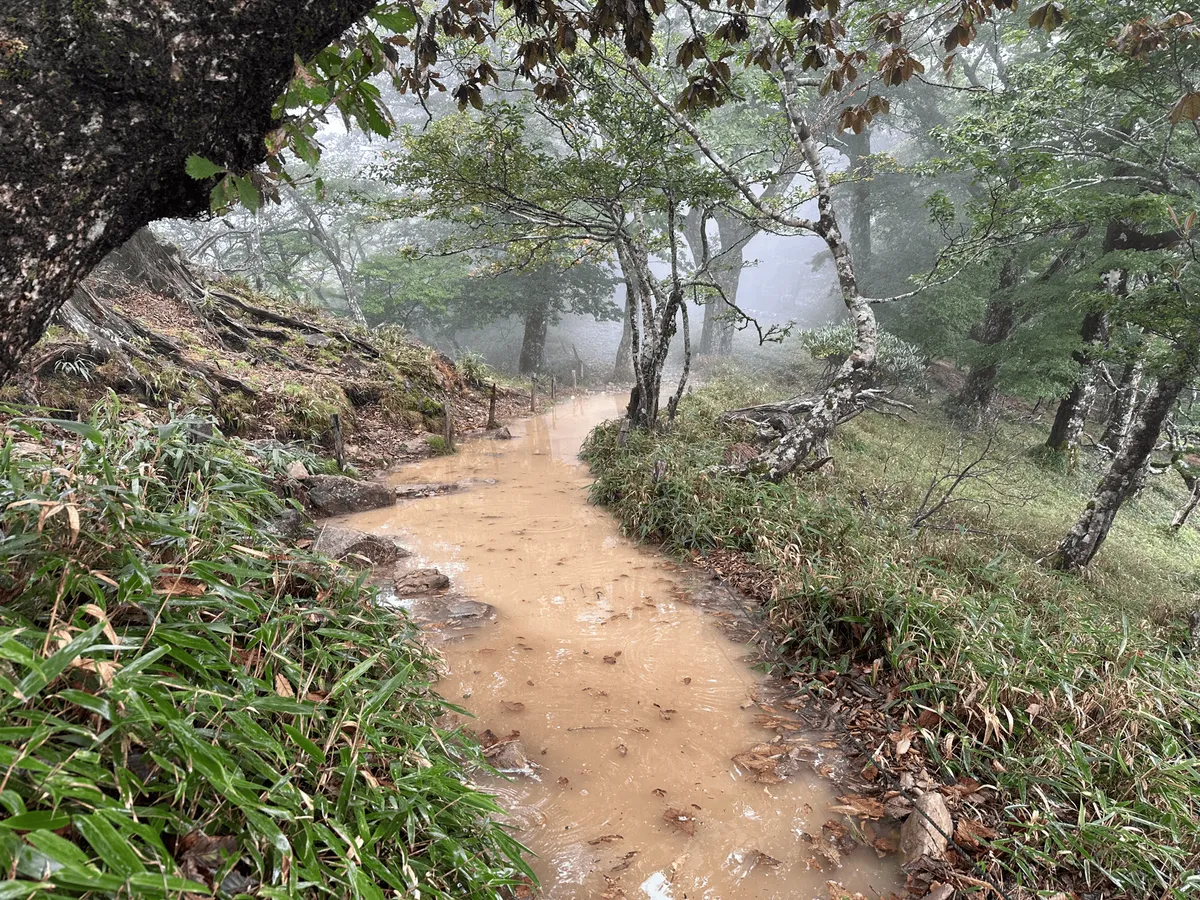
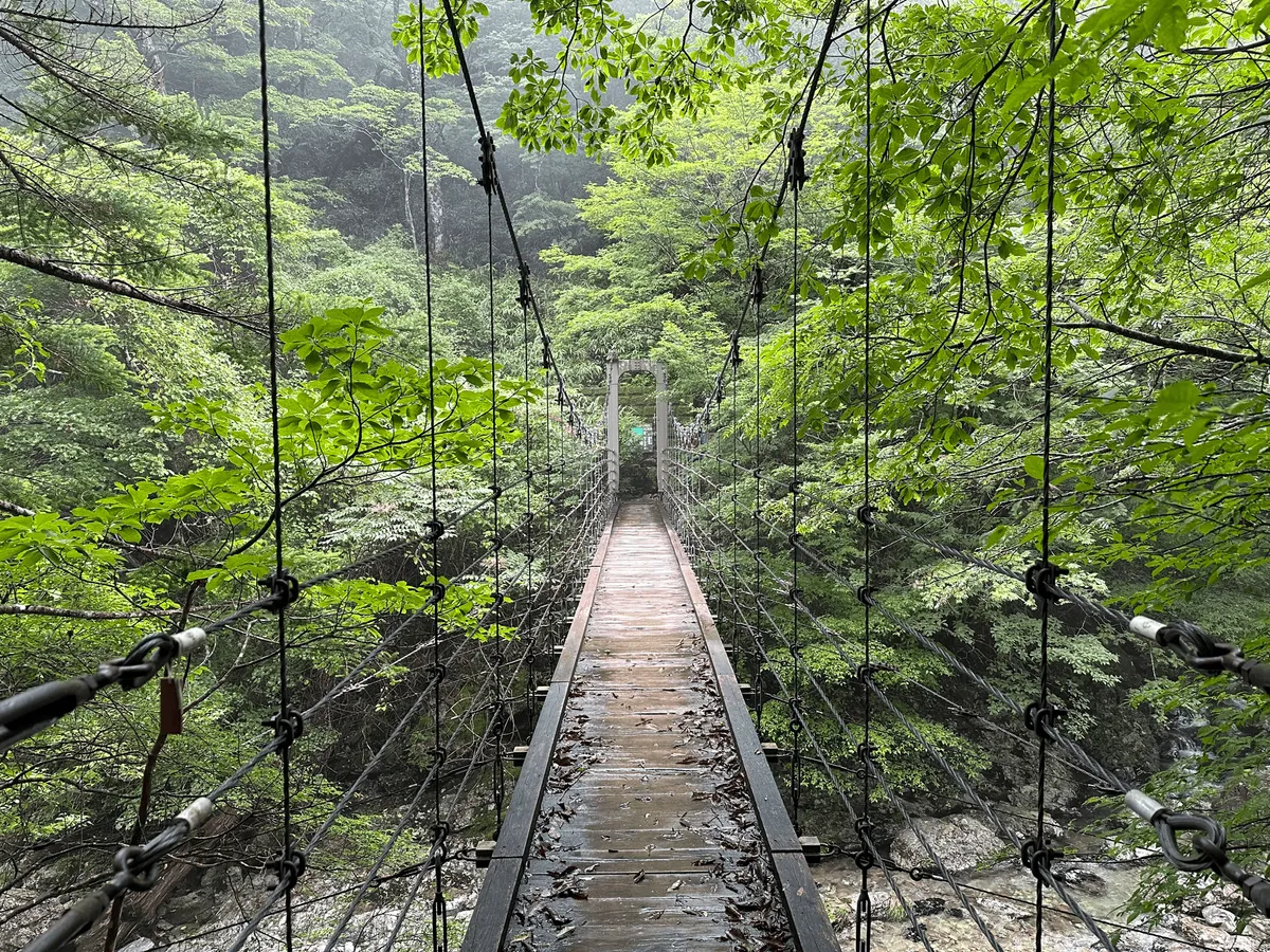
Once I returned from my detour, the trail has a sharp descent to a river, before a climb back to the trailhead.
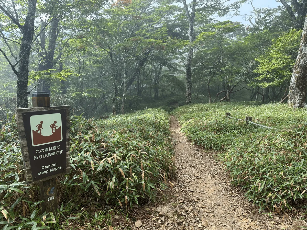
Quite unusually, there was even a warning sign for this descent. I wouldn’t say it’s harder than any typical Japanese mountain, but for how easy and beginner-friendly the trail was up until this point (boardwalks and all) I was a little caught by surprise, so the signage makes sense.

As I finished up the hike, the rain suddenly came bucketing down. I ran across the near-empty carpark to my rental car, and then it was off to my hotel for the night.

I stayed at the Forest Kamikita hotel, which is conveniently located in between Odaigahara and Mt Omine. I’m used to booking basic business hotels when hiking, and wasn’t expecting much, but I was pleasantly surprised by how nice it was.


It turned out to be a 3 star hotel with an onsen, and my only regret is that I didn’t book the dinner to go along with the room as well. It felt really relaxing to be able to go from the onsen straight to my hotel room, and I slept really well that night. I would recommend the hotel if you are in the area.
Hiking course details
| Date climbed | Length | Course time |
|---|---|---|
| 2024-09-11 | 7.1km | 3h30 (the expected time for an average hiker without breaks) |
The most direct course to the summit and back will take you under an hour, but I think most people would opt for the loop course as even that is quite short.
I saw some people doing the course in reverse to me, and summit the mountain last. I’d consider doing this if the weather is good, since this part of the trail was the easiest. It’s always more fun to get the hard bits out of the way first!
However for me, the weather was looking a little bit like it could rain (and it started to rain pretty heavily in the last 5 minutes of my hike), so doing the peak first is a good idea since you can quickly summit and the get off the trail if the weather turns bad.
Public transportation access
Odaigahara’s trailhead is accessible with public transport via a bus that runs once per day. See here for the schedule - for 2024 it ran between April 21 and November 24.
The bus leaves from Yamato-yagi station (大和八木駅) at 08:15. The station is about an hour away from Osaka, and so this mountain can be done as a daytrip if you come from around the Kyoto, Osaka or Nagoya areas.
Once the bus drops you off at the trailhead at 11:15, you’ll have until 16:00 for the return bus - which gives you 4 hours and 45 minutes to hike the 3 hour course. If you factor in some break time and take things slowly, it’s not too bad, but you could be left twiddling your thumbs for quite a while if you are a fast walker.
Car access details
The carpark is at the trailhead, outside of the Odaigahara Visitor Centre (大台ヶ原ビジターセンター).
The trailhead is up long, windy mountain road so be prepared to take it slow, and for the drive to take longer than your GPS might predict. The carpark is quite large, and since I hiked this on a weekday, the carpark was pretty empty. Since the route is quite short, even if you can’t find a spot straight away, I think you could wait around for a spot to open up.
If you are coming by car to Mt Odaigahara, I would also recommend noting down convenience store locations, as there aren’t any the closer you get to the mountain. I stopped by one in the town of Yoshino, as it was a nice halfway break point on my drive from Osaka.
Leave a comment