hikes
A guide to the best hikes in Kyushu
28 Jun
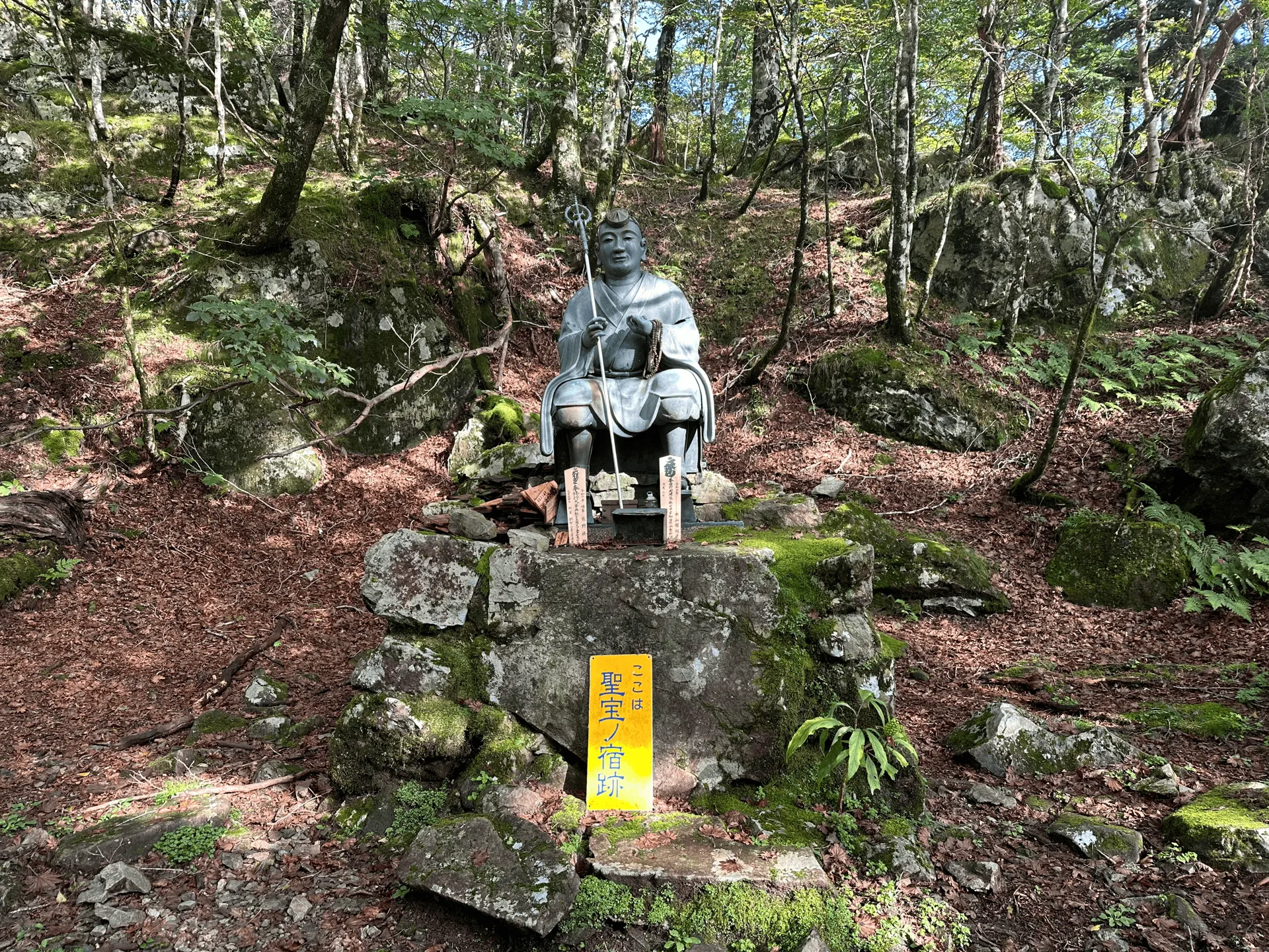
Mt Omine (大峰山, oomine-san) is a Hundred Famous Mountain in Nara. Used as a religious training ground since the 8th century, the mountain is infamous for its ban on women - apparently to prevent meditating monks from getting distracted. Although hard to imagine that such a ban can exist today, it’s fortunately limited only to the peak of Mt Sanjogatake (山上ヶ岳). The peak of Mt Hakkyo (八経ヶ岳, hakkyo-ga-dake) is counted as the official summit for those looking to conquer the Hundred Famous mountains, and I climbed it recently during my Osaka trip.
With a course time of 6 hours, this hike is doable as a day trip if you have a car. There is public transport access via bus, but unfortunately with the timings and the distance from the trailhead, it will become an overnight hike.
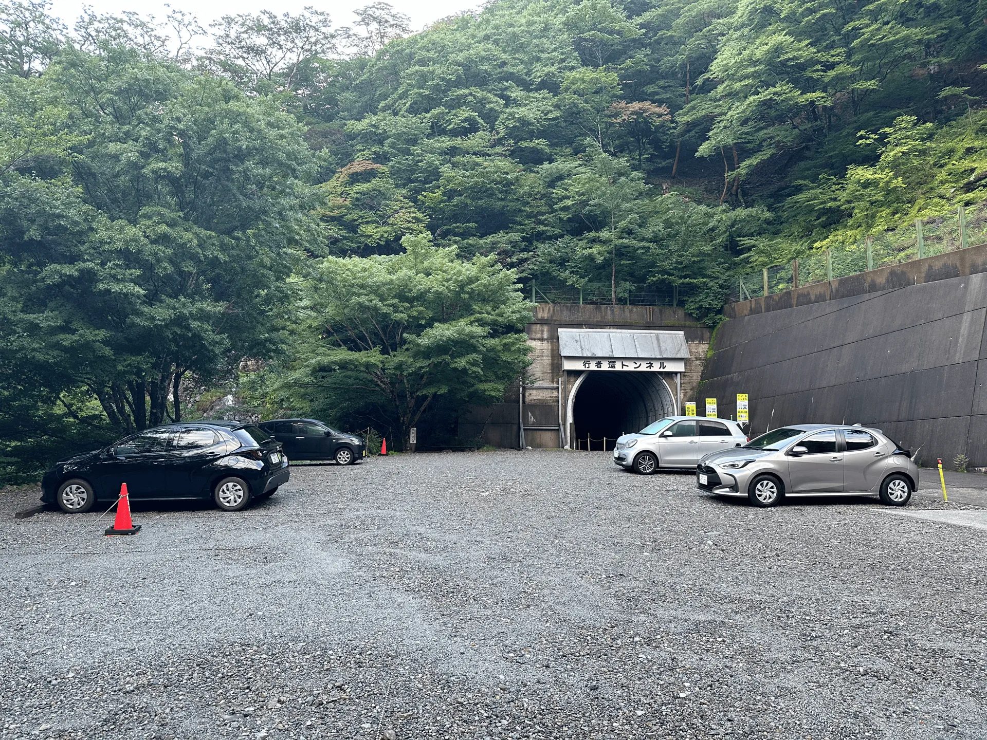
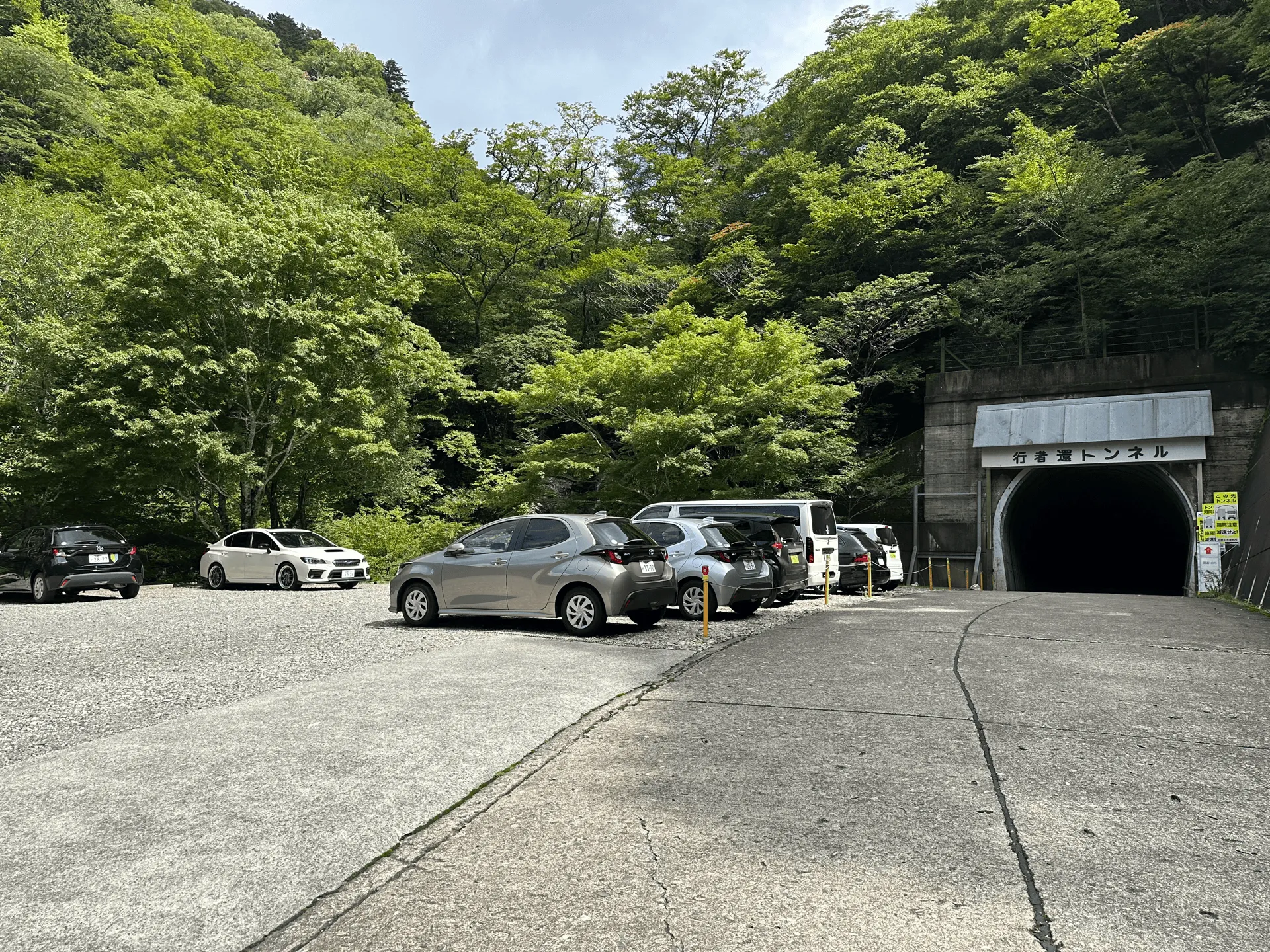
After climbing Mt Odaigahara and staying the night before at a hotel, I arrived at the trailhead around 6:30am. It’s outside a long, dark tunnel. When you reach the middle, you can’t even see the light of the entrances at either end. It felt quite eerie, and I was half-expecting a ghost to jump out at me.
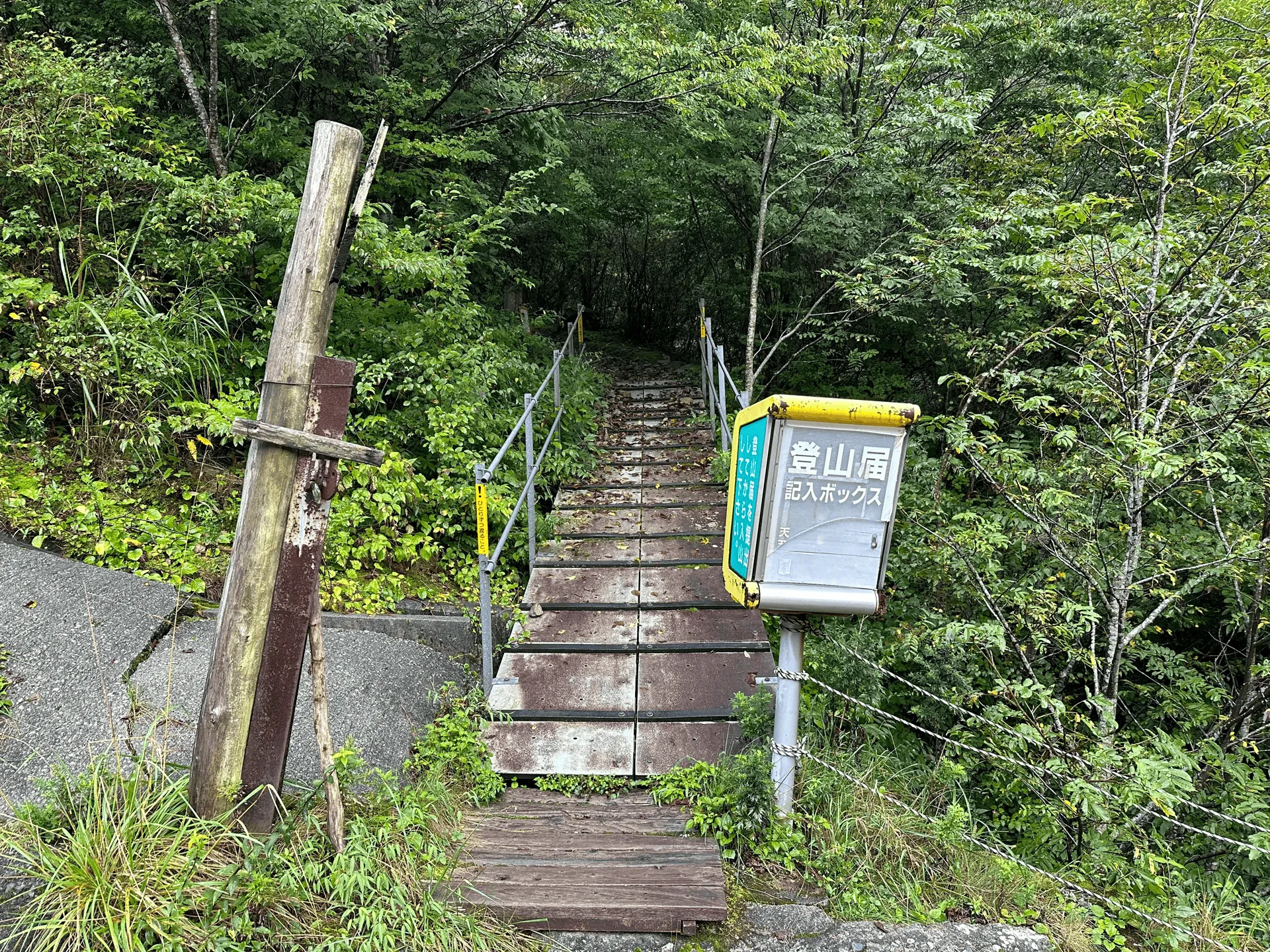
There was also missing persons poster at the start of the trail, which didn’t help with the spooky vibes. It was dated from a few years ago, so it’s pretty sad to think that the hiker may never be found.
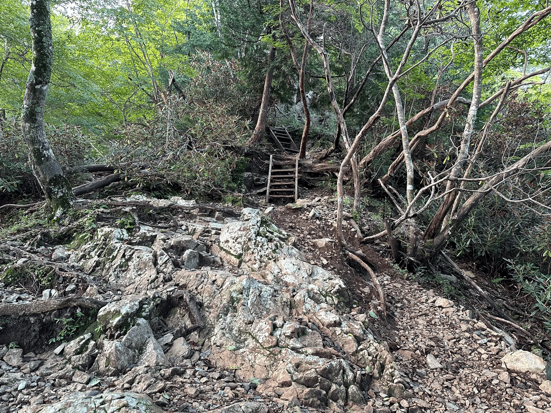
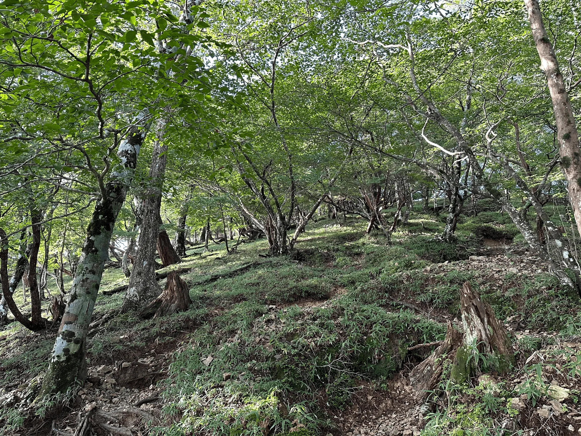
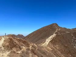
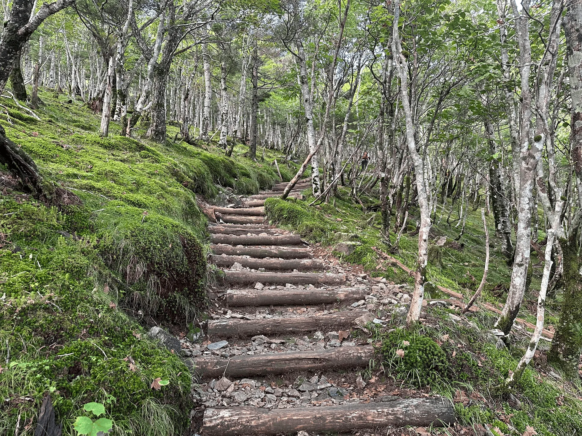
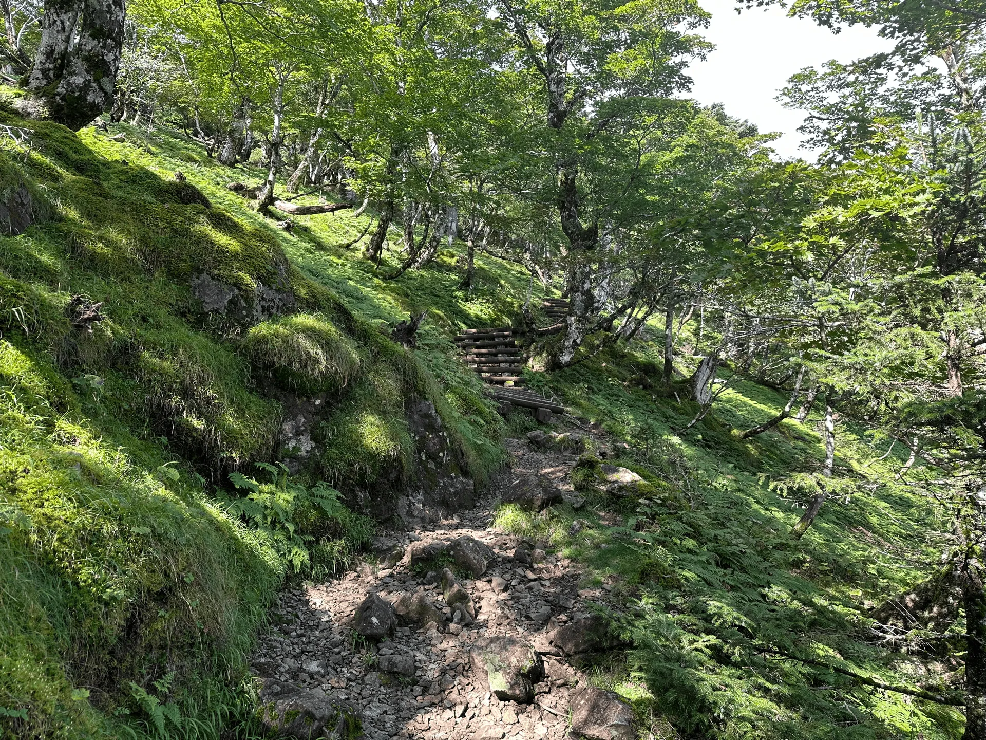
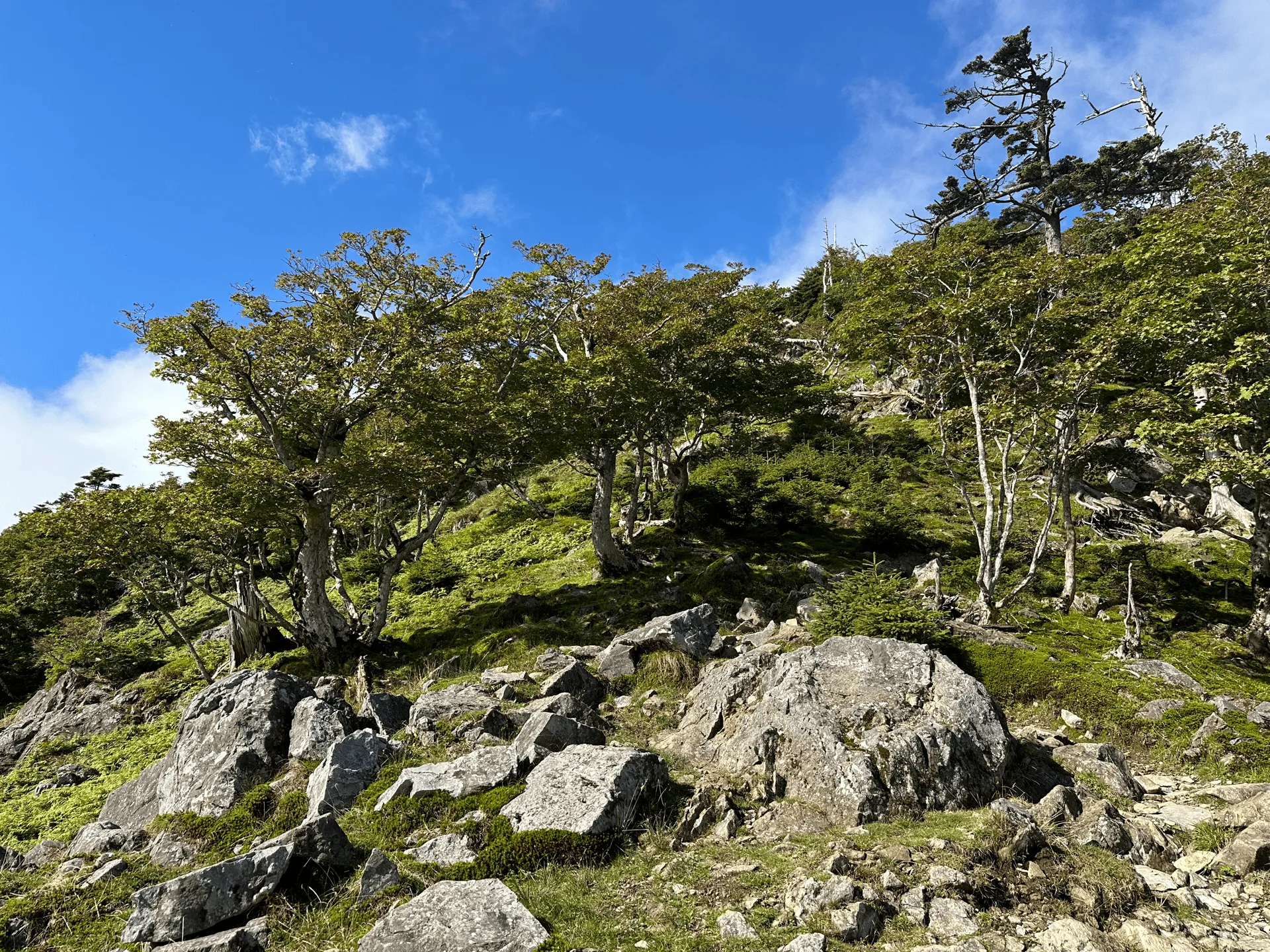
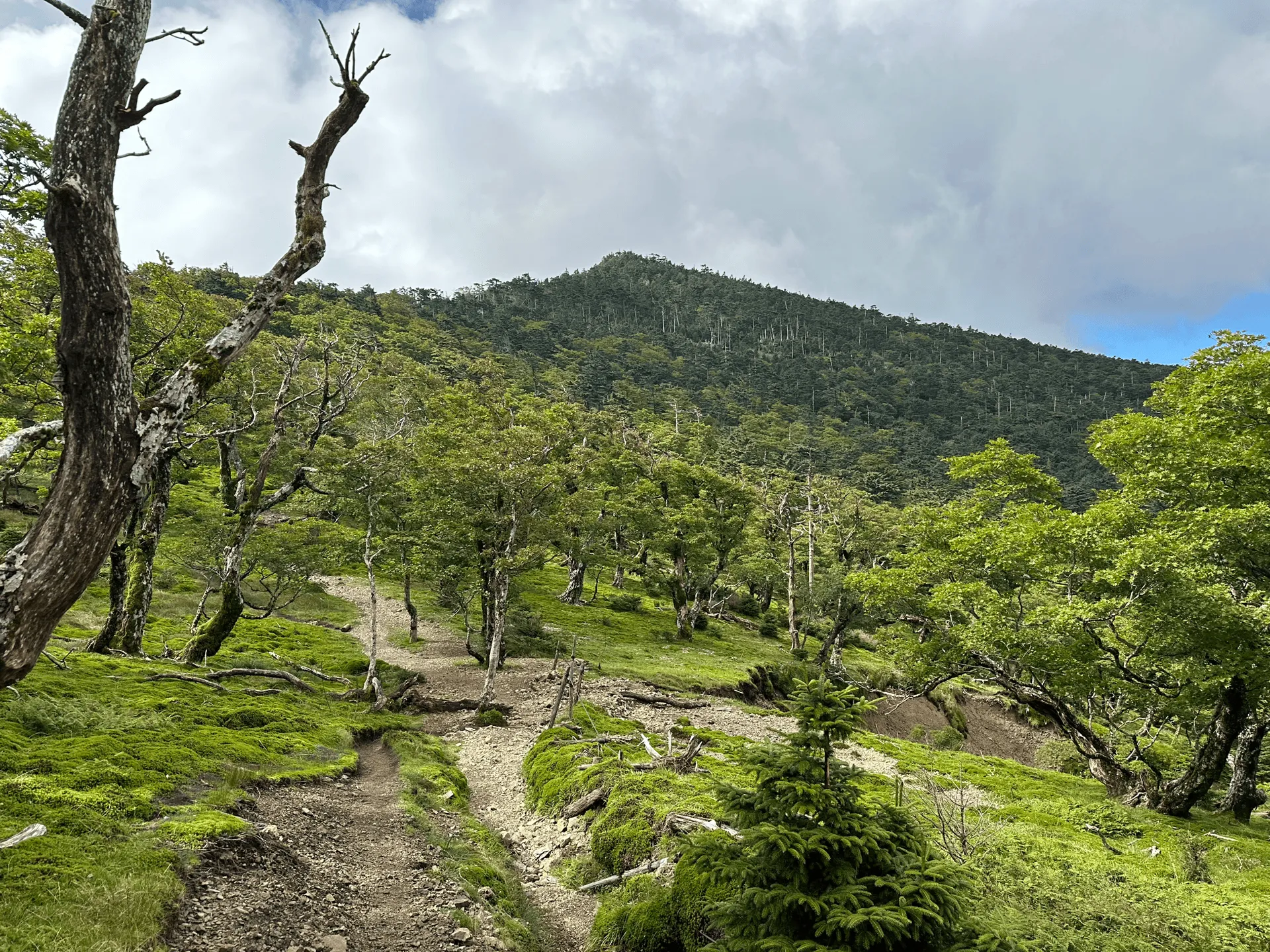
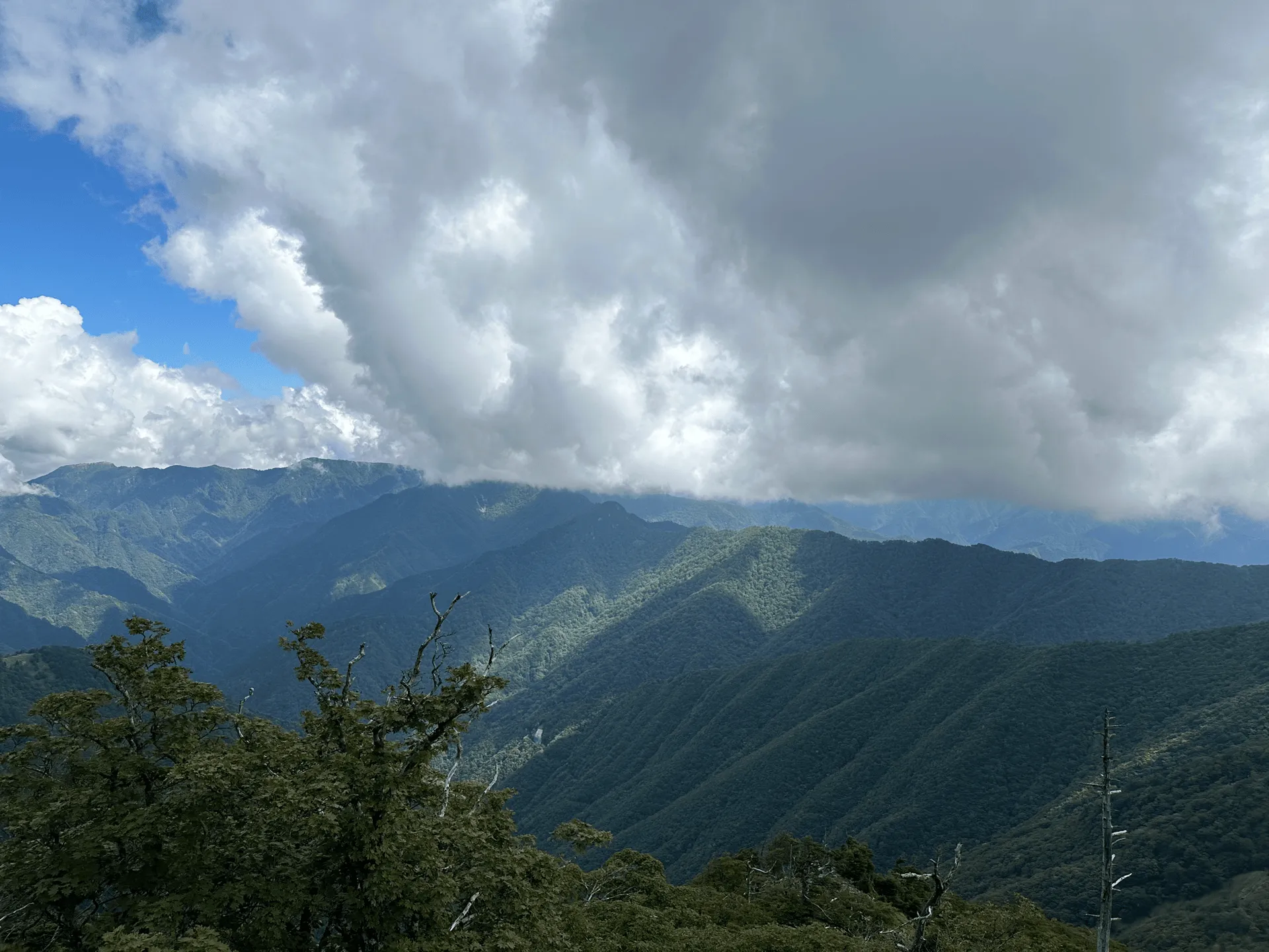
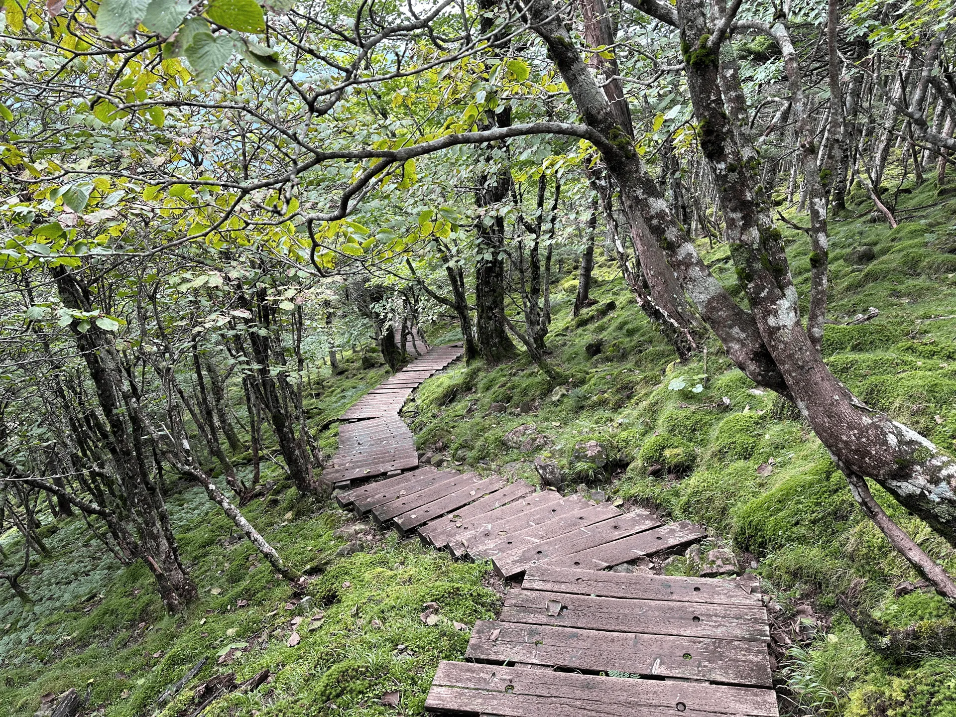
With 1100m of elevation gain over 9km, the course is quite steep. The first hour was the hardest (and most boring) as it was just an endless steep climb up. Once you pass this climb, you get a bit of a reprieve with a flat trail. Things also start to get less gloomy as the sunlight and blue skies become visible among the trees.
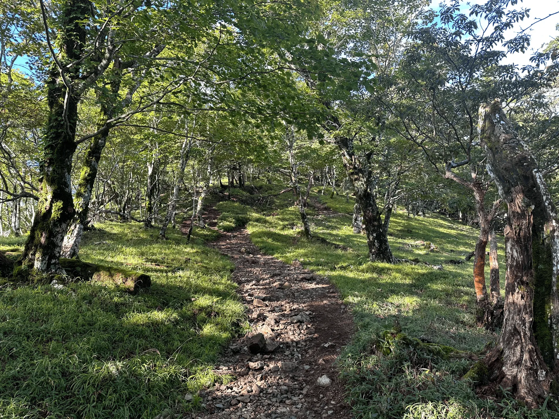
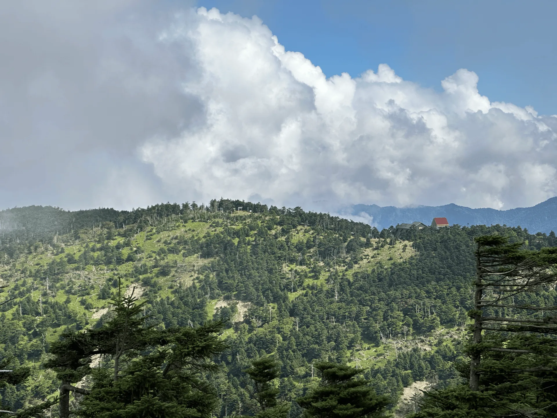
After the relatively flat path, there is one more climb up to the Mt Misen mountain hut (弥山小屋).
Some Hundred Famous Mountains are very popular and get a lot of tourists and hikers. To be honest, with the lack of direct bus access and it being in a more rural area, I thought Mt Omine would be on the quieter side. So I was surprised to see the size of the mountain hut.
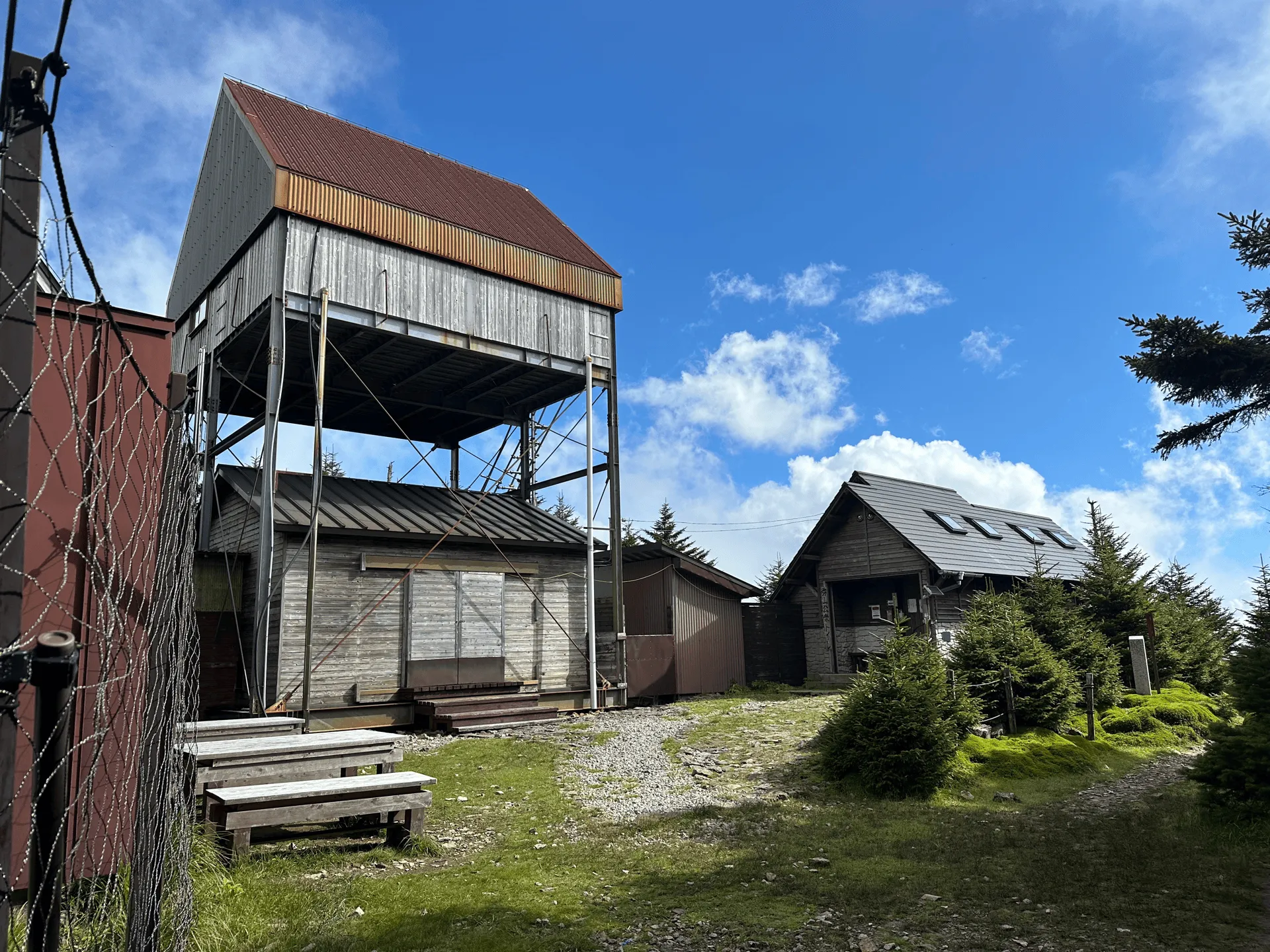
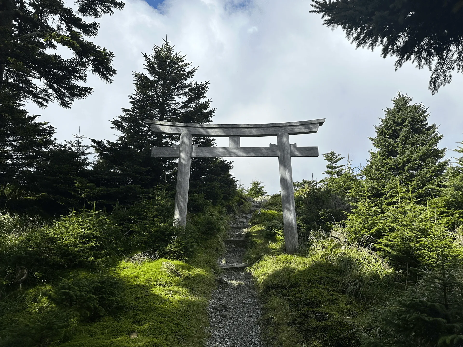
Since the Omine mountain range has a lot of religious significance, it must get a decent amount of hikers coming through. It’s also possible to do a 3-day course through these mountains, so the mountain hut also probably helps to host those hikers.
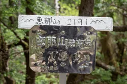
Right near the Mt Misen mountain hut is Mt Misen (弥山) itself, which stands at an elevation of 1895m.
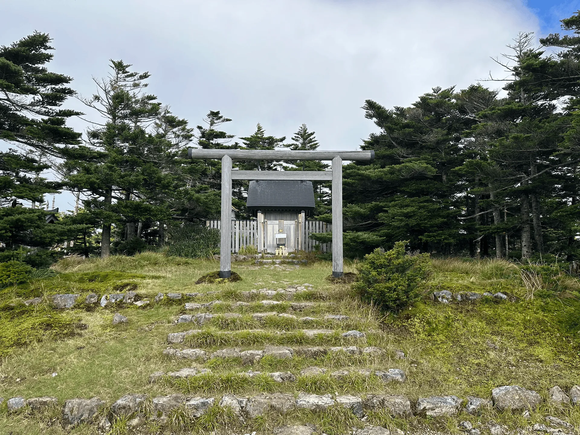
From here it’s a final 30 minute hike up to the peak of Mt Hakkyo.
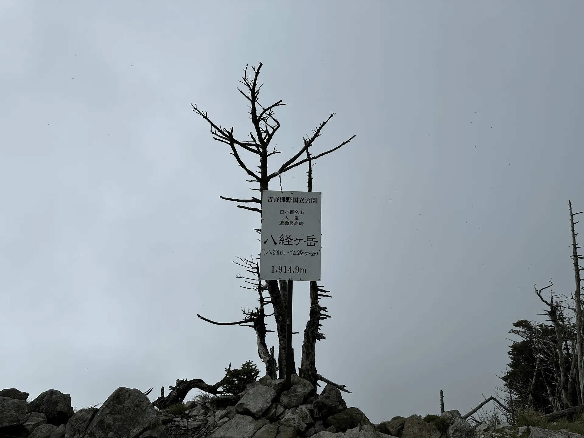
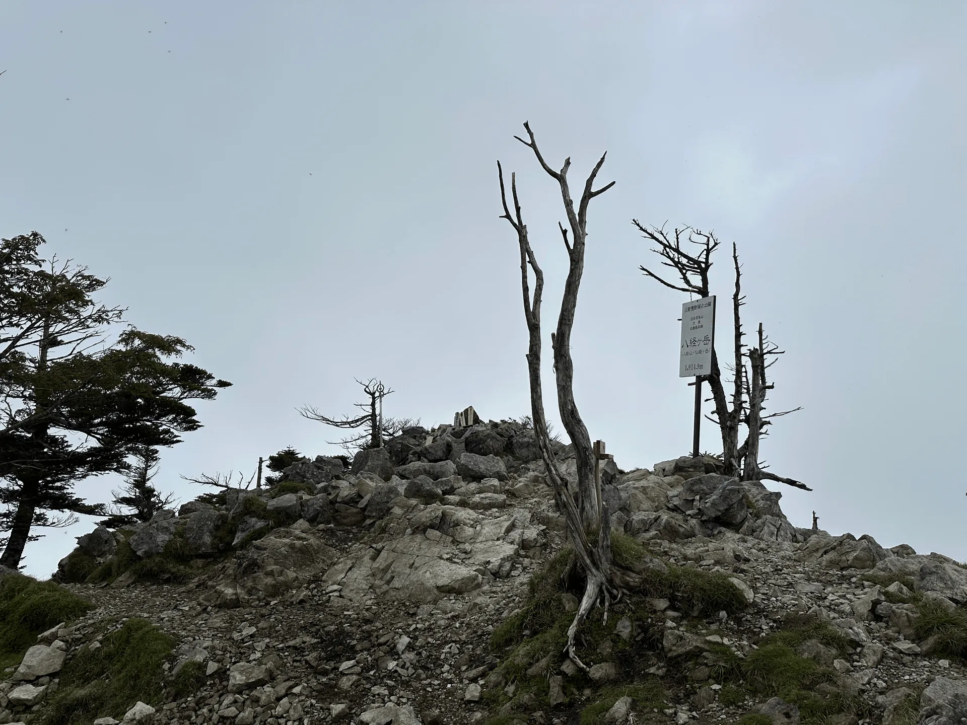
At 1915m, Mt Hakkyo is officially the highest peak in Nara, and the highest peak in the Kansai region as well. Confusingly, the peak of Mt Sanjogatake (the one that is banned to women) has an elevation of 1917m, so it seems like that should be the highest point. I’m not sure if maybe the women ban excludes it from being counted as the highest point?
The course is an out-and-back, so from the peak I retraced my steps all the way back down the mountain. To add to the spookiness, a deer kept screaming near the start of the trail. All up, the hike took me just under 6 hours.
I had to return my rental car, so I then drove the 3 hours straight back to Osaka. Some of the drivers were pretty crazy (one ran two red lights) and some wouldn’t let me merge onto the highway so I get the impression Osaka drivers are meaner than Tokyo ones.
| Date climbed | Length | Course time |
|---|---|---|
| 2024-09-12 | 9.4km | 6h20min (the expected time for an average hiker without breaks) |
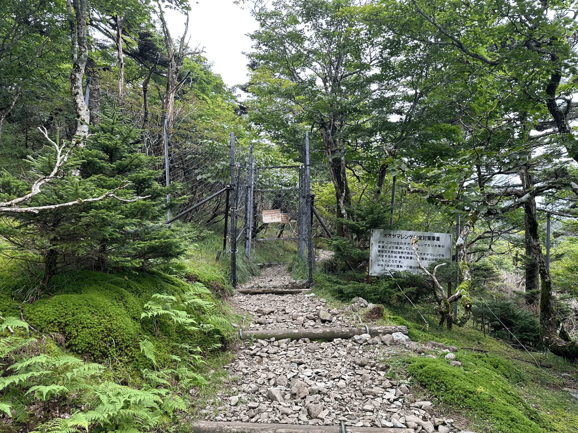
The trail is a fairly straightforward out-and-back, starting at the Mt Misen trailhead (弥山登山口). There are toilets available at the trail head and at the Mt Misen mountain hut.
If you are coming via public transport, you will have to take a longer trail starting at the Tenkawa-kawai bus stop (天川川合バス停). The course is 22km, and with the bus timings I think it would have to be done as an overnight hike.
To get to Tenkawa-kawai, you can take a bus from Shimoichiguchi station (下市口駅). If you google “下市口駅 天川川合” you should be able to get the latest bus timings, but as of 2024 the 08:47 bus seems to get to the trailhead at 09:45.
Alternatively, if you really wanted to attempt this as a day-hike, you could get a 40min taxi from Shimoichiguchi station, which would let you get to the trailhead as early as 7:40. You can see a YAMAP activity diary here of someone who did this as a day hike in 10 hours.
The Mt Misen trailhead carpark (弥山登山口駐車場) costs 1000 yen, and surprisingly its caretaker was already there when I arrived at around 6:30am. It’s not too big, but was quite empty since I hiked this on a weekday. I’m not too sure how you would fare on a weekend, but I would recommend arriving on the earlier side if you are worried.
If you are staying in the area like me, the only convenience store nearby is next to the Forest Kamikita hotel, and it opens at 7am, so I recommend buying breakfast the night before if you are going to have an early start.
Another thing to note is that there was a lot of road construction in the area, and there were certain hours where the roads are closed, which blocks access to the trailhead. I was a bit worried about this, but I managed to pass through in the open windows. From reading YAMAP, apparently the road is not fully “closed” during the closure periods - you just have to be prepared to wait 10 or so minutes before you can pass at these times.
It might not be a problem by the time you are reading this, but it can be useful to check YAMAP to get this sort of information beforehand!

Leave a comment