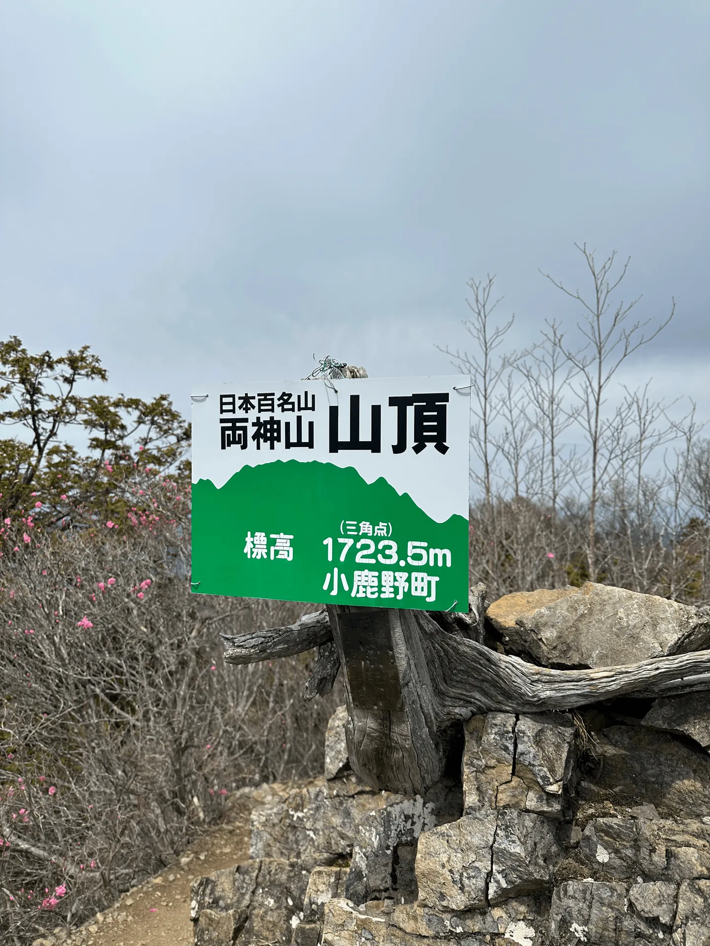
Mt Ryokami (両神山 Ryokami-san) is a Hundred Famous Mountain located in Saitama that I climbed last year in April.
If you want to climb this mountain via public transport, you will only have 7.5 hours to climb a course with an expected time of 8 hours. So the schedule does look a little bit dicey, but my general impression from seeing other people’s hiking records on YAMAP is that the course time is a bit inflated.
I think as long as you keep an eye on the time, you should be able to get back home on the last bus.
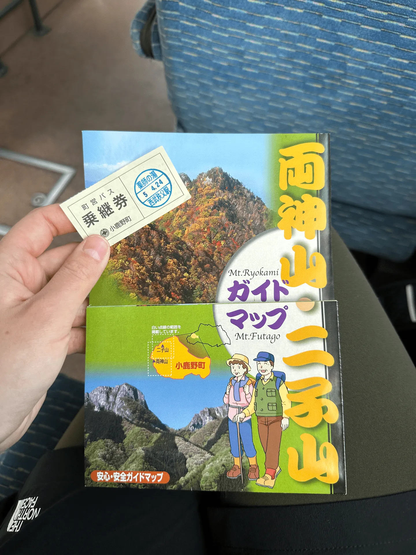
I had nearly a year of hiking under my belt at this point, and was usually about 20% faster than the course time, so logically I knew I was going to be okay timing-wise. But I was still nervous going into this hike!
I set my schedule in YAMAP to aim for that last 17:15 bus home and began my hike.
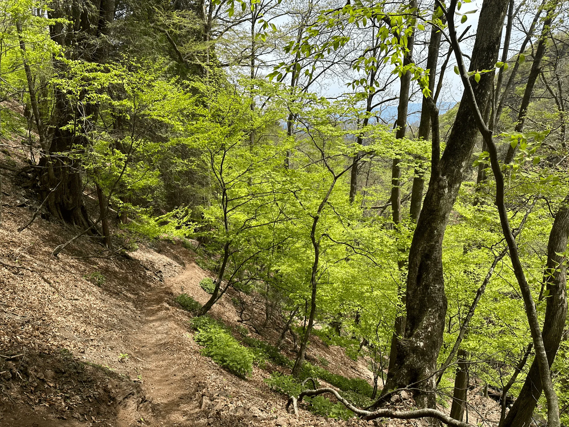
Keeping in mind the bus times, I kept up a high pace as I climbed the mountain. By the time I was partway up, I actually was ahead of schedule by about an hour.
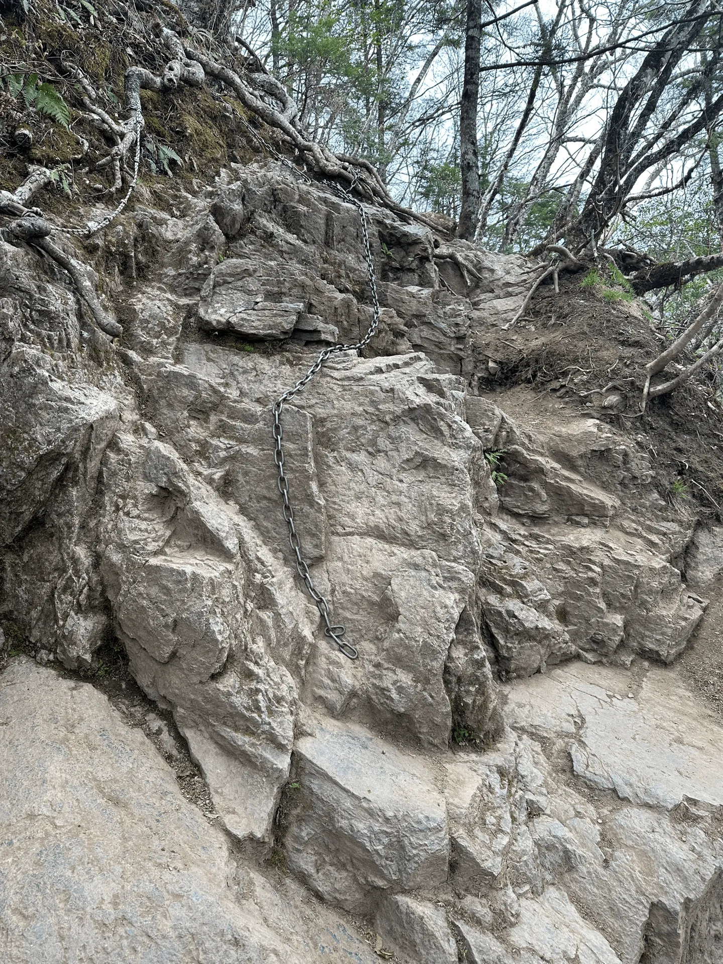
As you approach the summit there are small sections of rocks with chains, but it’s not too difficult. For the thrill-seekers, apparently there are other trails up to Mt Ryokami that have a lot more chains.
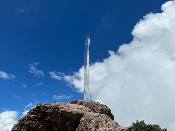
As far as 100 Famous Mountains go, Mt Ryokami doesn’t have too much to offer in the way of scenery. From the peak you do get views of the surrounding mountain ranges though.

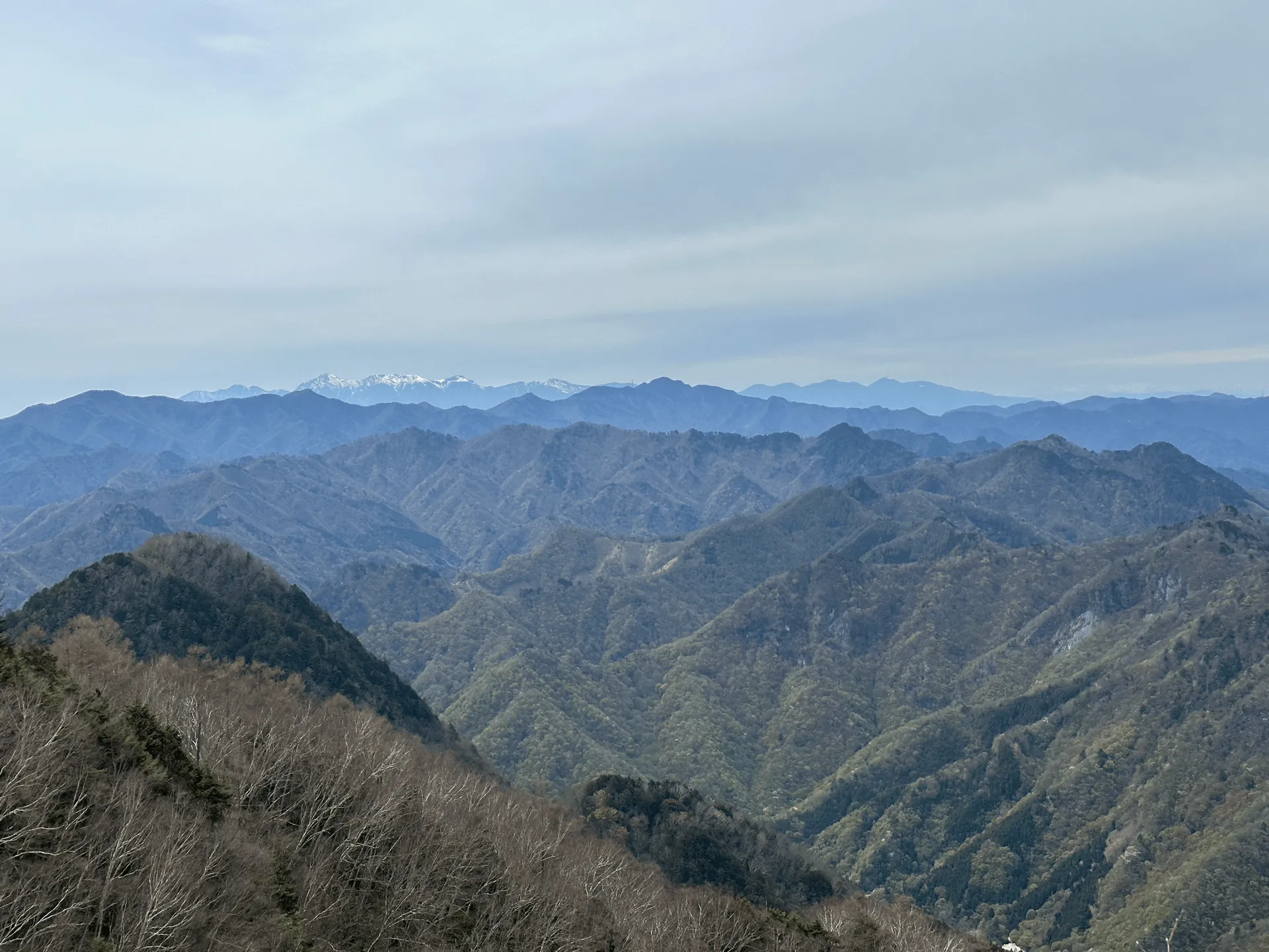
YAMAP has a feature that lets you estimate your finish time based on your pace, and since it was estimating that I might be able to catch the previous 15:10 bus, I opted to descend straight away instead of enjoying a lunch break at the peak.
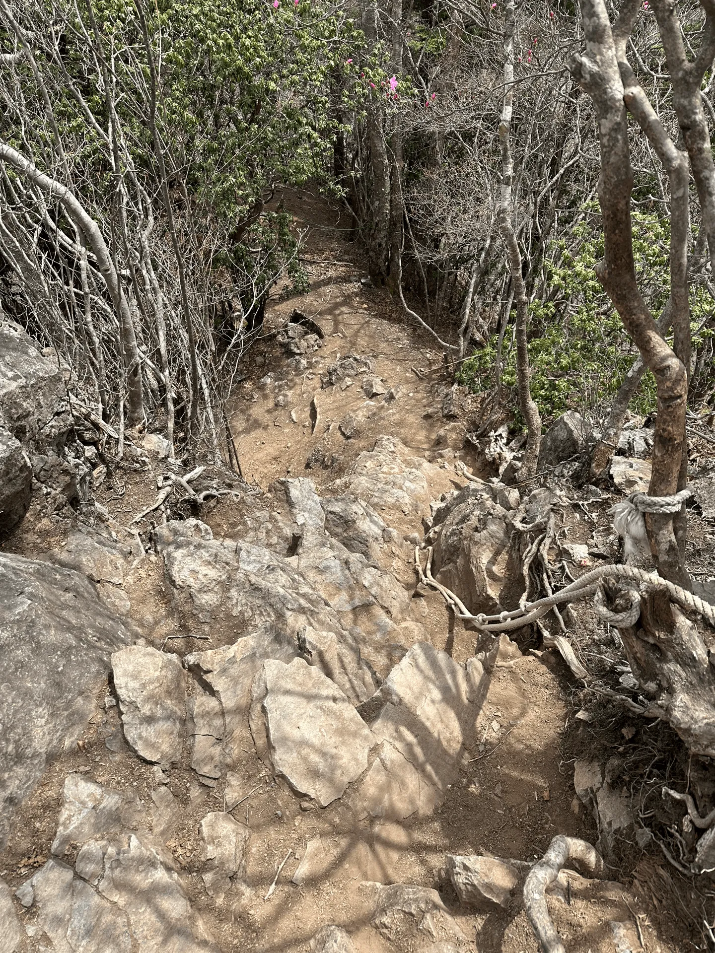
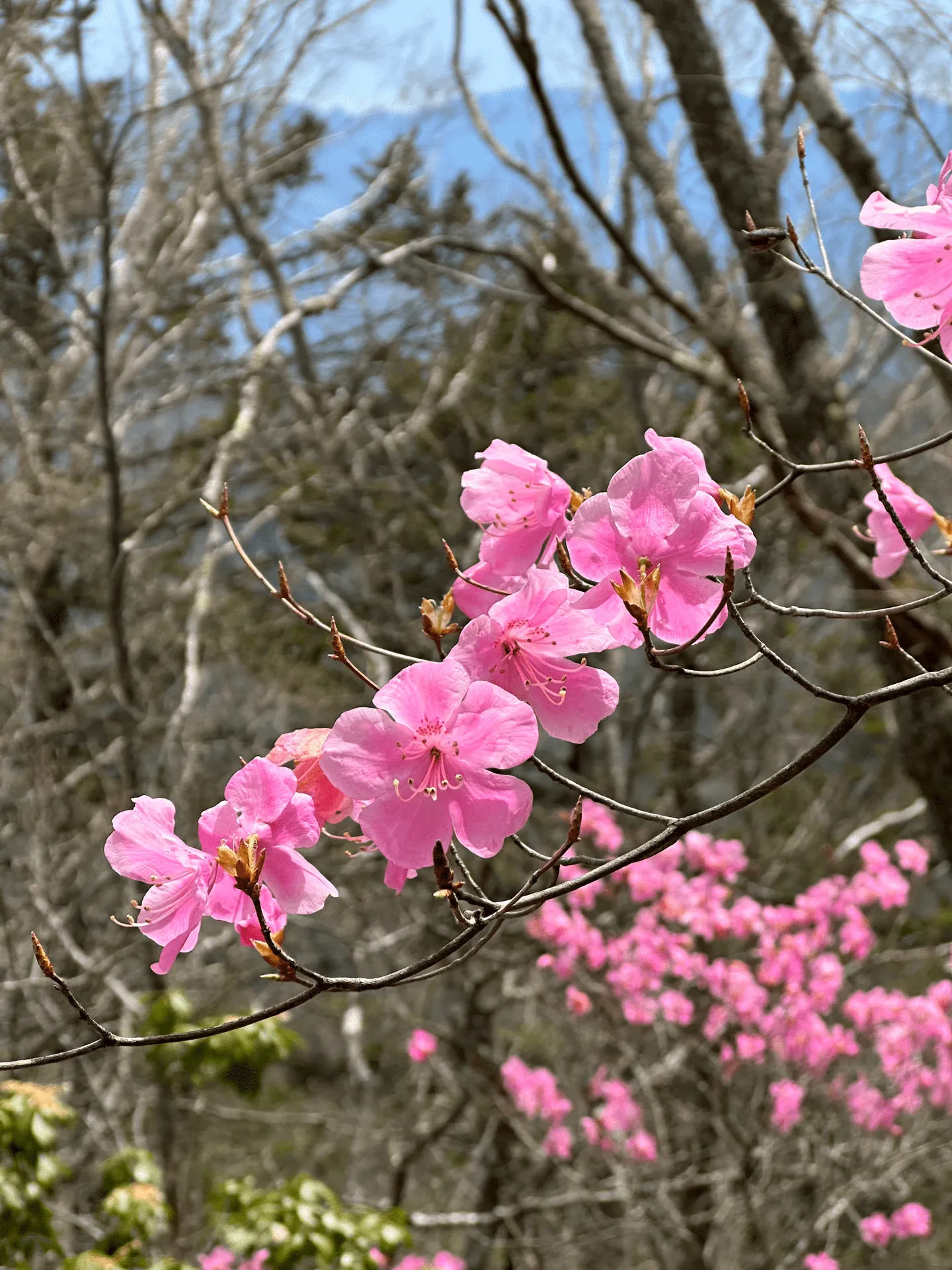
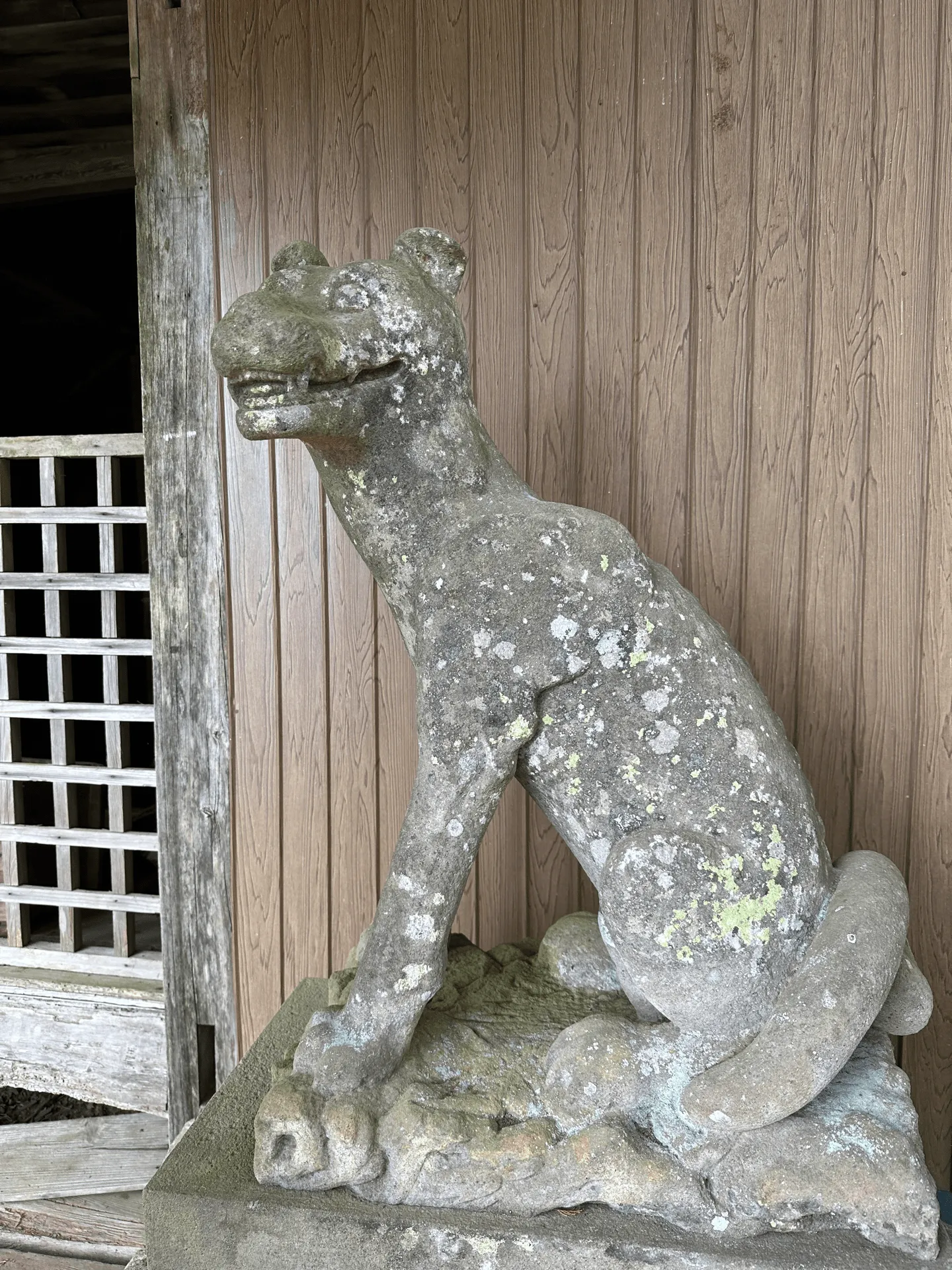
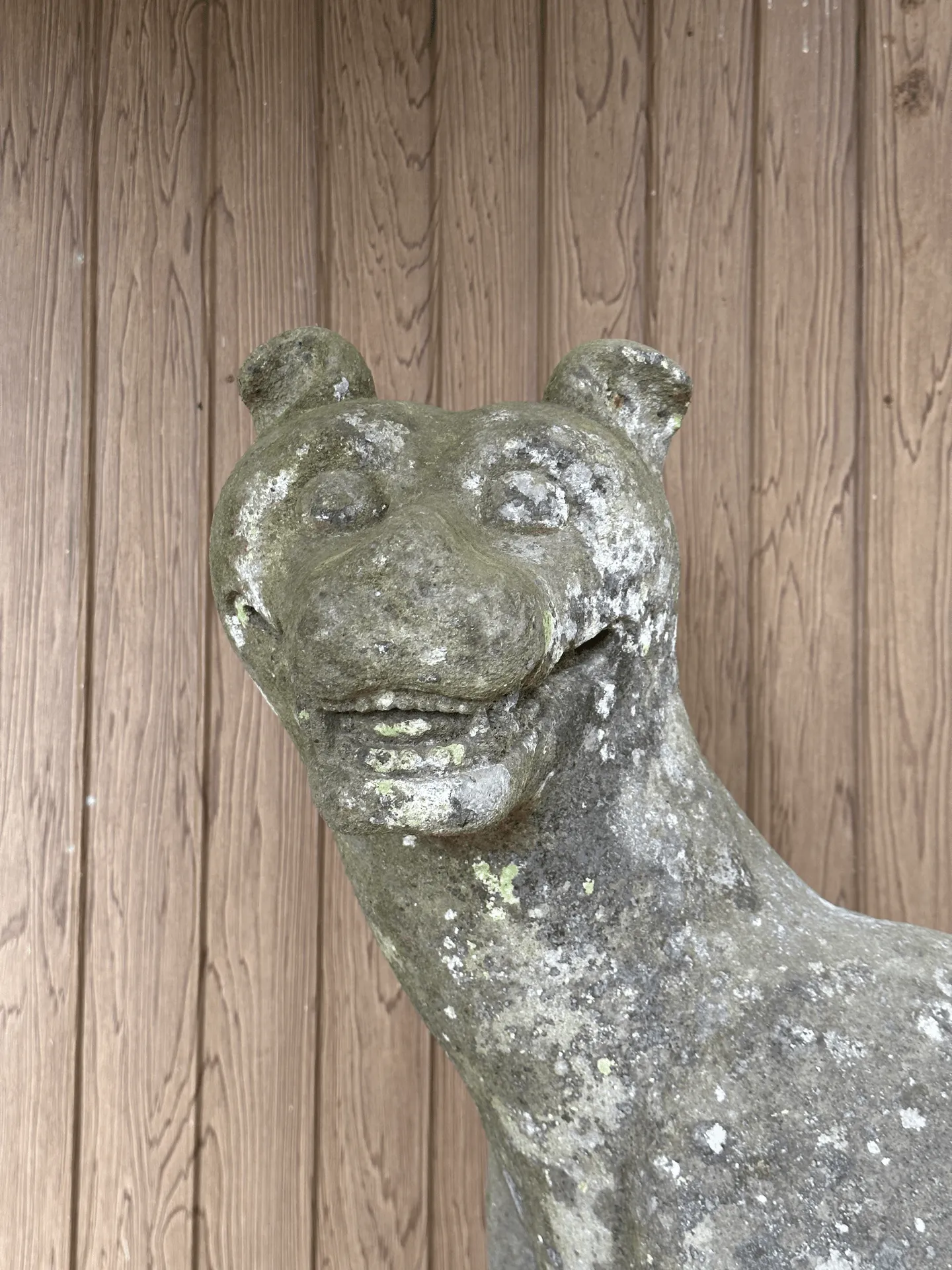
Overall the trail is really well-maintained, so this really helped me keep up the high pace on my descent back down. I ended up being about 20 minutes early for the 15:10 bus.
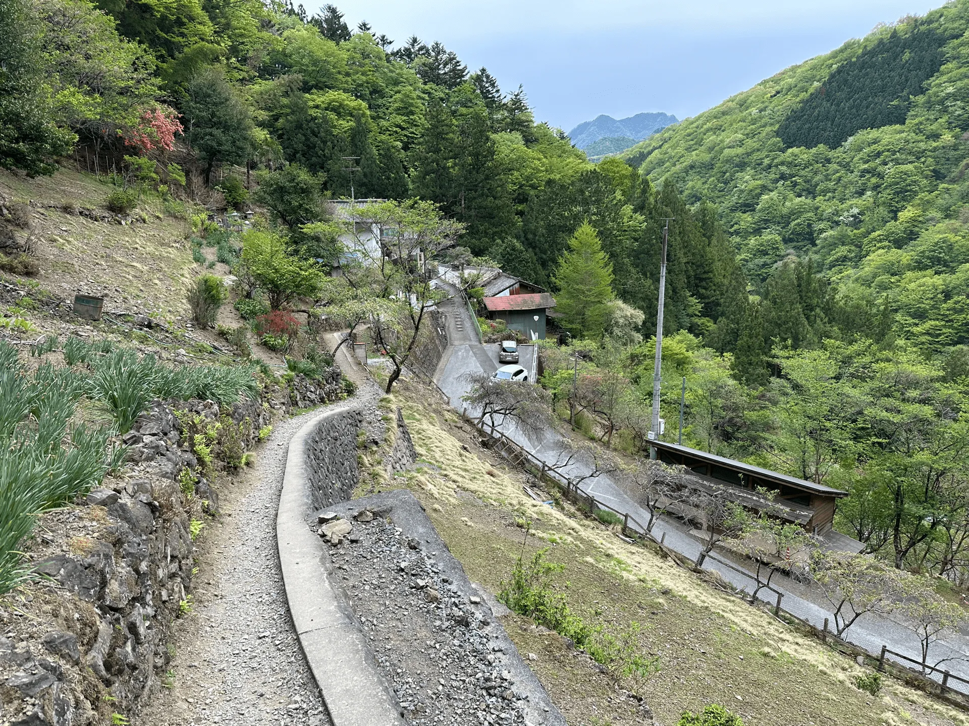
Hiking course details
| Date climbed | Length | Course time |
|---|---|---|
| 2023-04-24 | 10km | 7h50m (the expected time for an average hiker without breaks) |
This is an out-and-back course that that starts and ends at 日向大谷口 (hinata-ooya-guchi).
There is a toilet available near the bus stop.
Public transport access with example schedule
Culmina is a good source for bus information.
| Time | Location | Transport | Cost | Notes |
|---|---|---|---|---|
| 06:23 | 東京 (とうきょう) | Express train | 1905 | The express train will require you to buy a separate ticket |
| 08:14 | 西武秩父 (せいぶちちぶ) | |||
| 08:20 | 西武秩父 | Bus | 500 | Note there is a bus transfer at 薬師の湯 |
| 09:48 | 日向大谷口 (ひなたおおやぐち) |
The public bus set-up was a little bit confusing, but basically:
- On the way there, you will pay 500 and receive a receipt. Get off the bus at the final stop (薬師の湯) for a transfer. When you get on the second bus, hand them the receipt and you don’t have to pay anything else.
- On the way back, you will pay 200 and receive a receipt. Once you transfer to the second bus, show the receipt and pay an additional 300 yen.
Both ways are cash-only.
| Time | Location | Transport | Cost | |
|---|---|---|---|---|
| 15:10 | 日向大谷口 | Bus | 500 | |
| 16:55 | 西武秩父 | |||
| 17:07 | 西武秩父 | Train | 1505 | |
| 19:07 | 東京 | |||
| Trip total: | 4410 |
Leave a comment