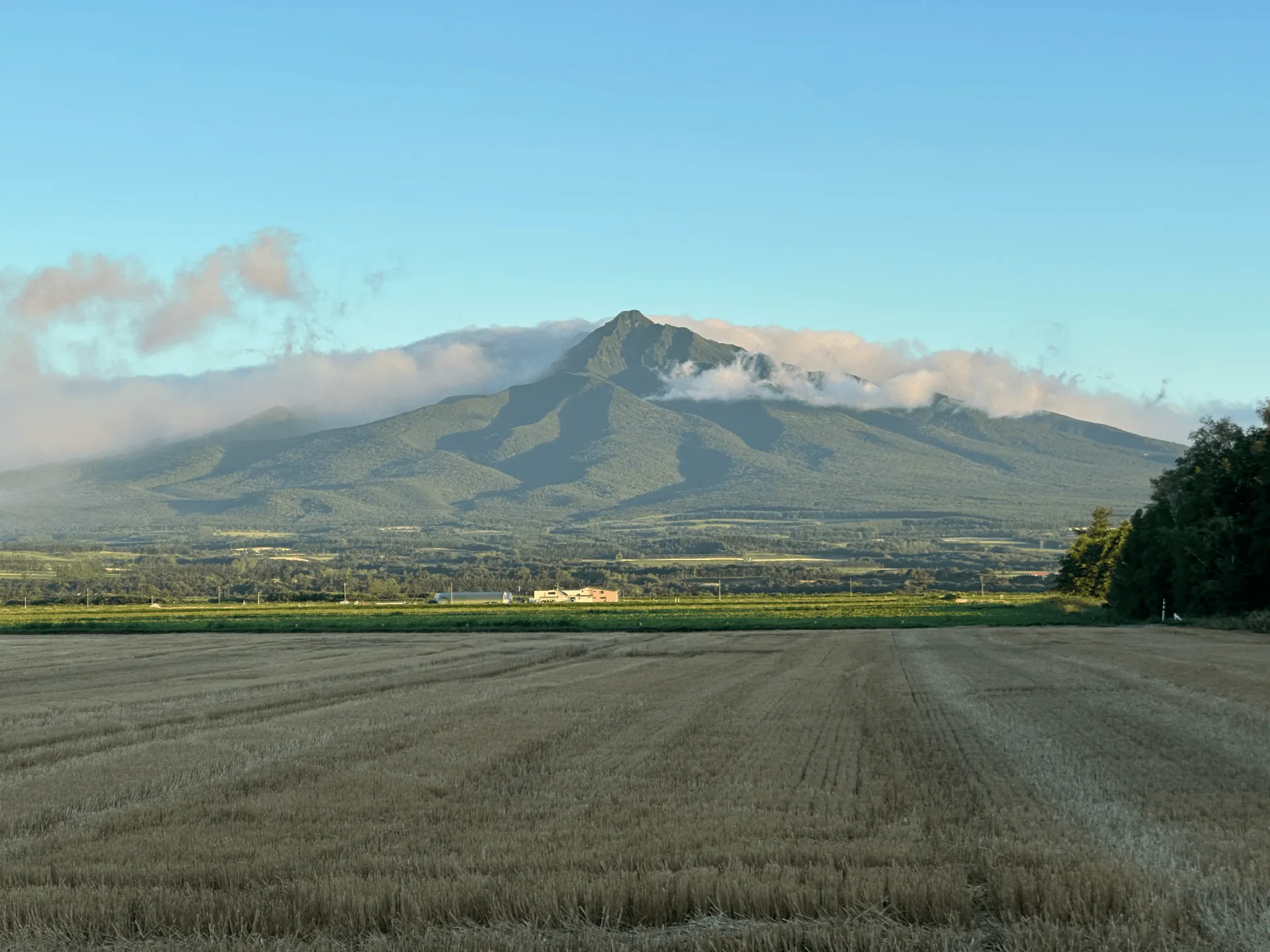
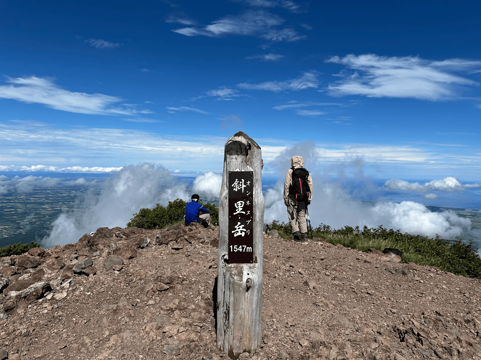
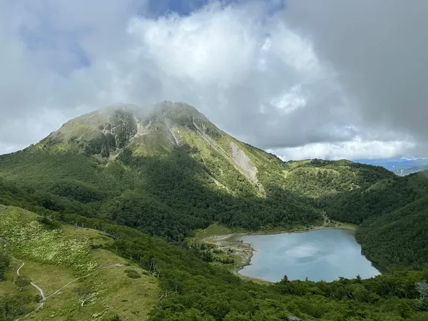
Mt Shari (斜里岳, shari-dake) is a 1547m tall mountain that looms over the town of Shari in north-eastern Hokkaido. After hiking Mt Rausu, this was the second of four Hundred Famous Mountains we climbed in our Hokkaido roadtrip.
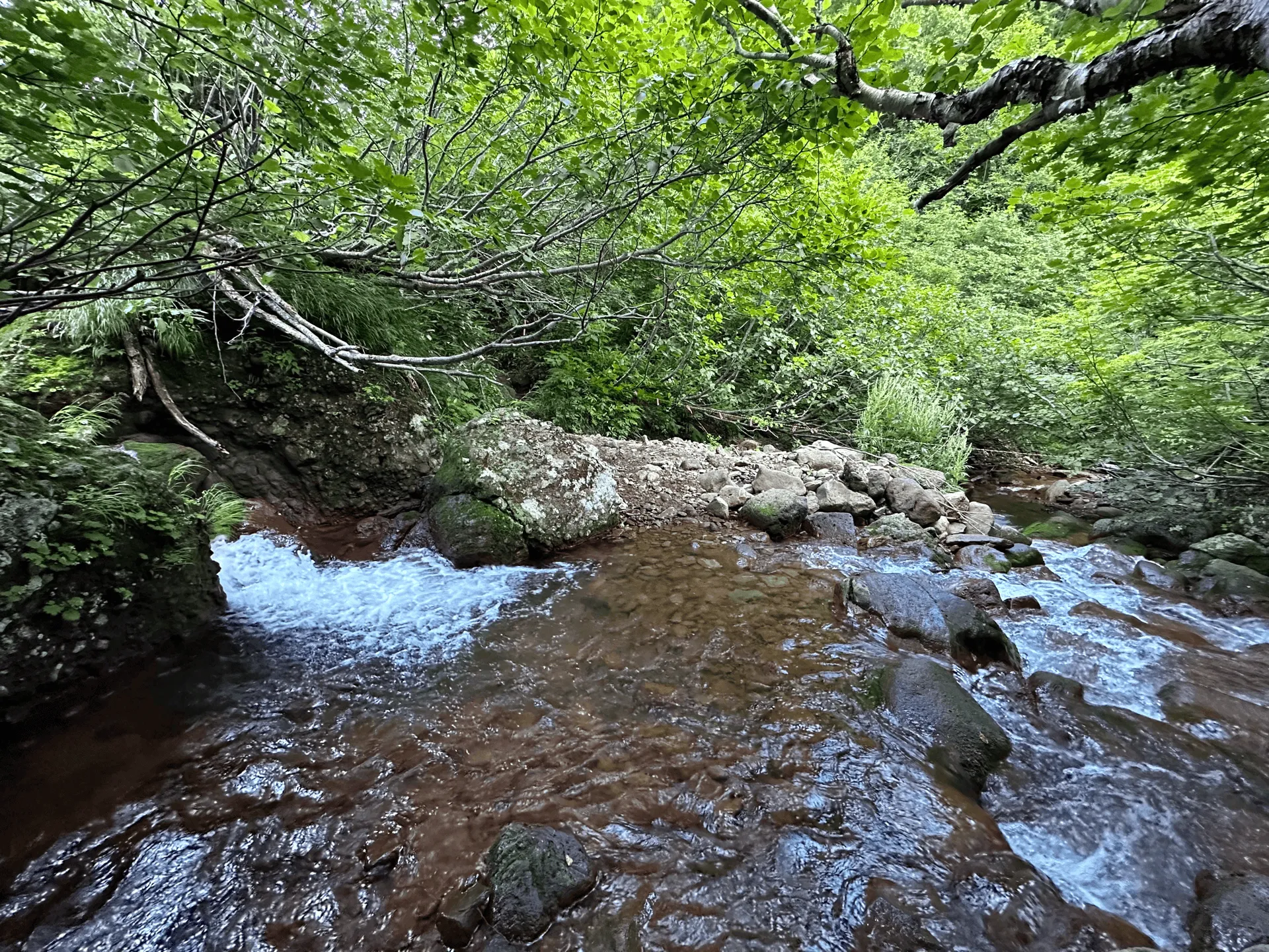
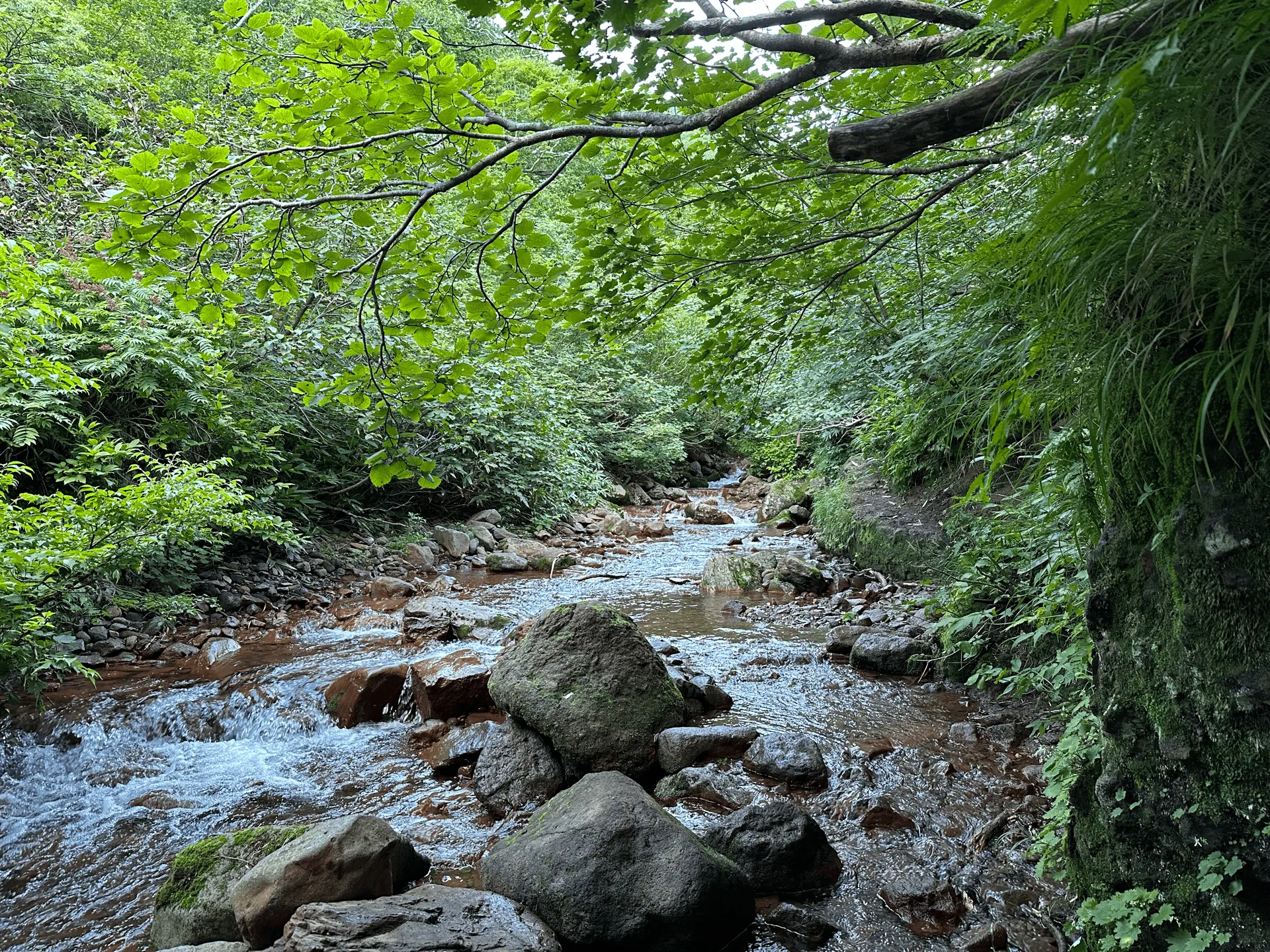
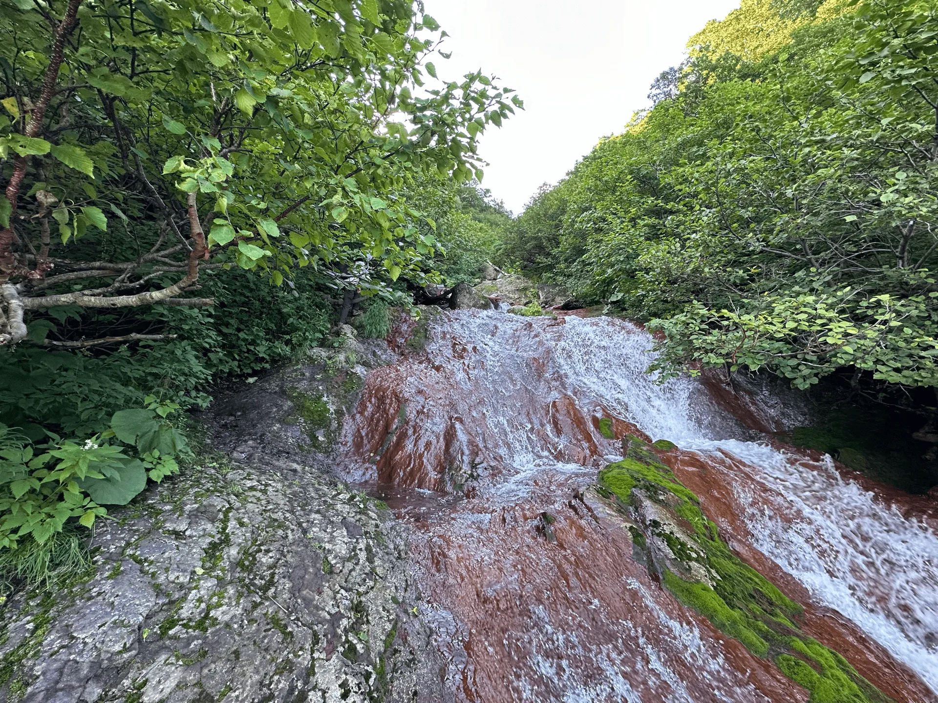
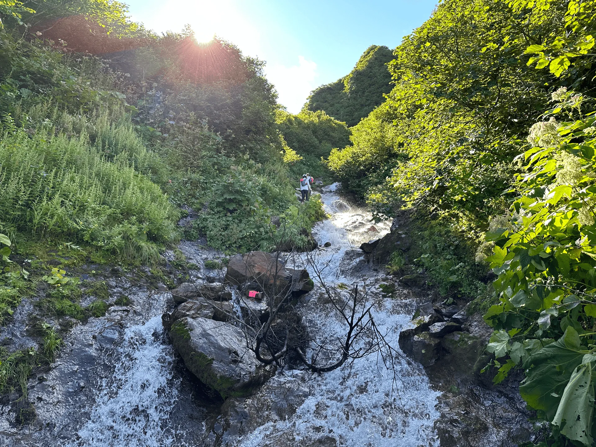
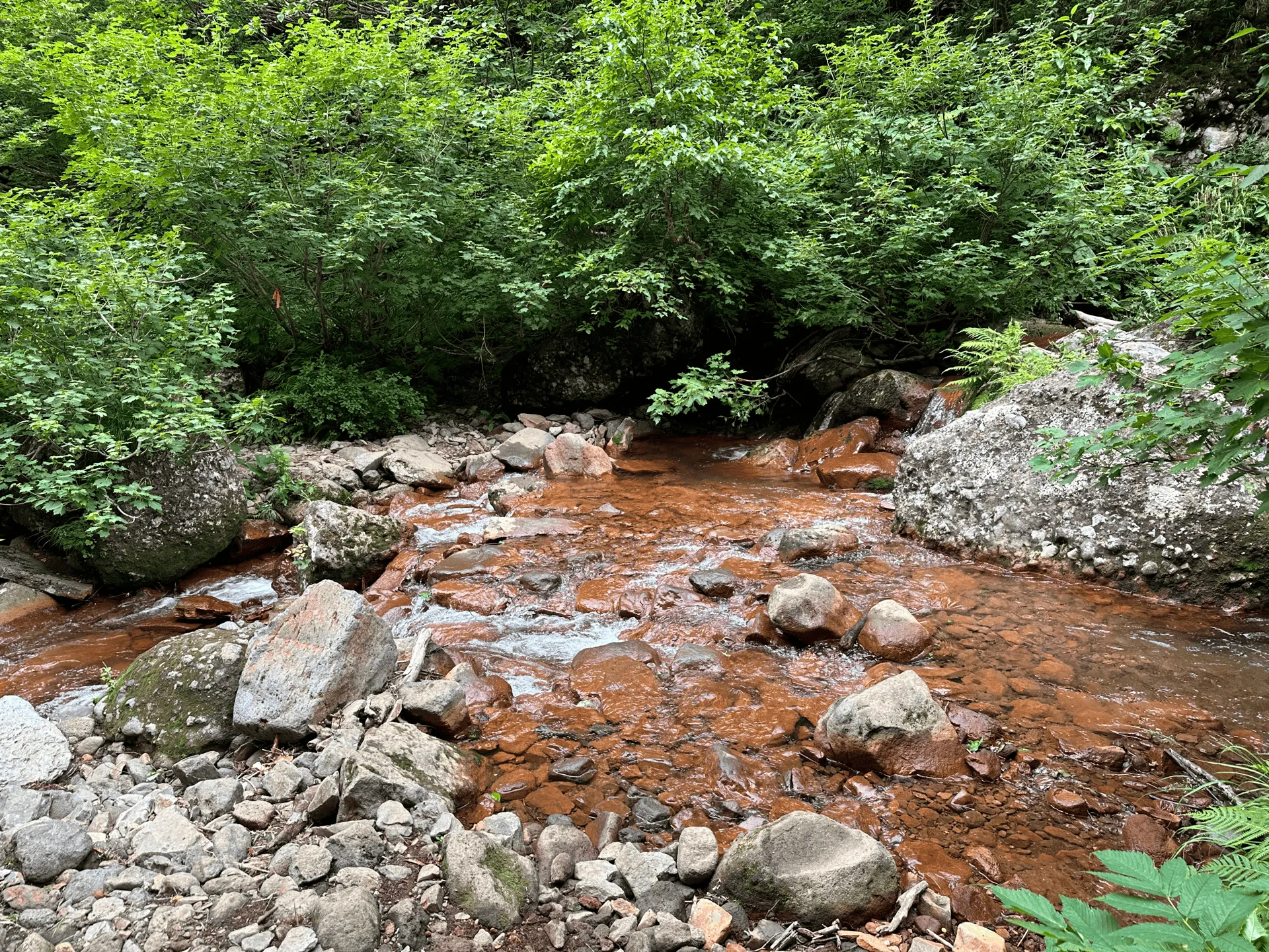
Mt Shari’s hiking course is distinctive for having a large number of stream crossings, and even a section where you climb directly alongside one. When I first learned this fact, I was a little bit apprehensive - Japanese mountains don’t tend to have many water crossings, so I wasn’t sure how difficult it would be. However, I ended up having a lot of fun climbing this mountain!
We got lucky with a warm, sunny day, perfect for climbing a mountain like Mt Shari. You get to dip your hands in the cool water as you climb, and the breeze coming off the stream makes for a very pleasant hike, even though it was the middle of summer.
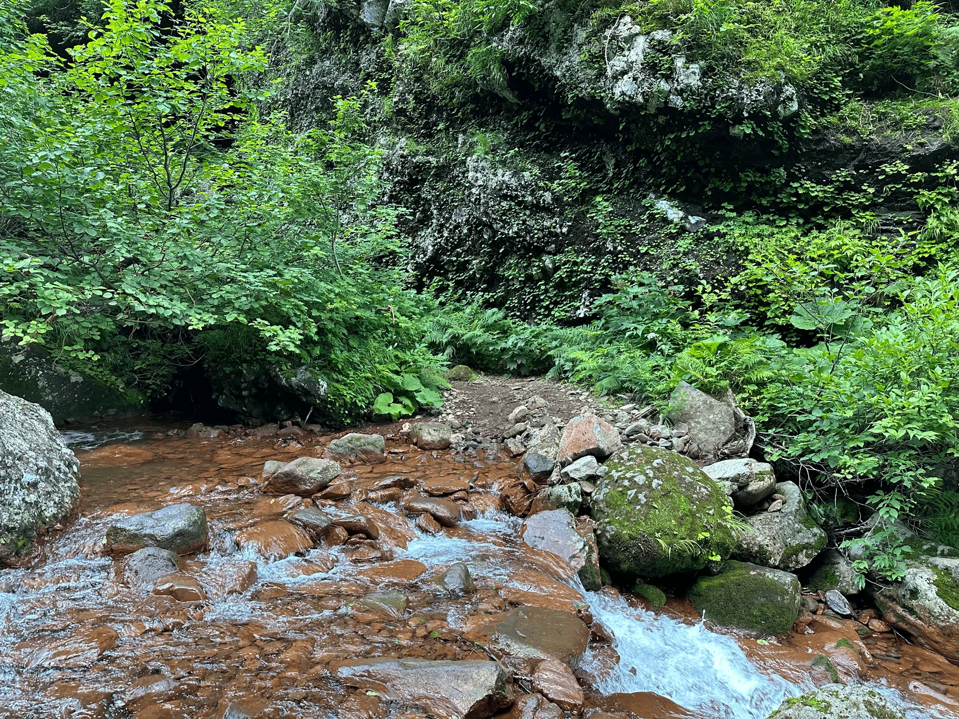

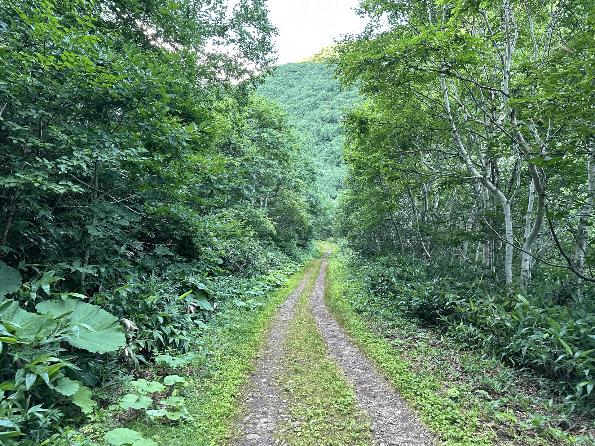
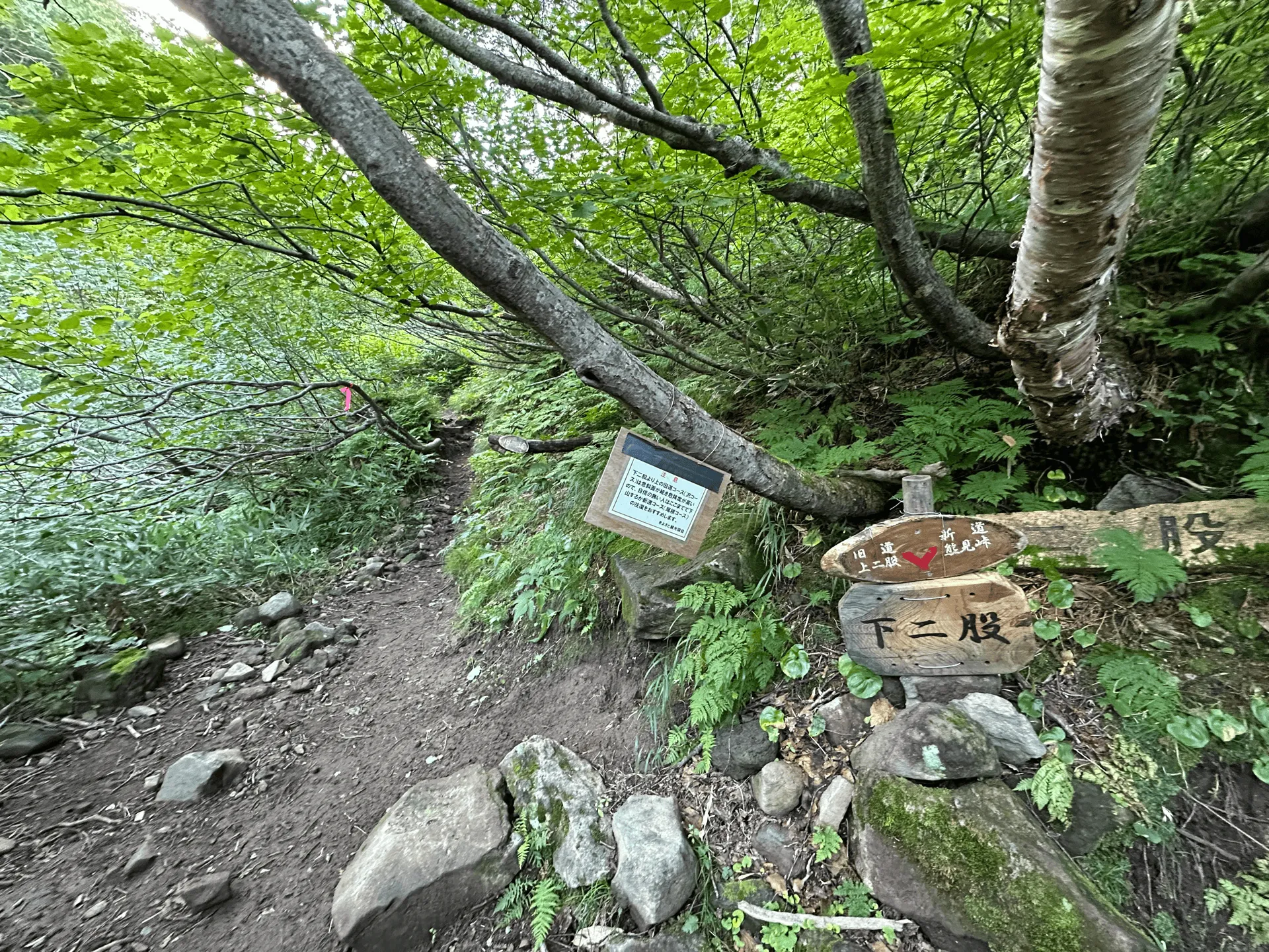
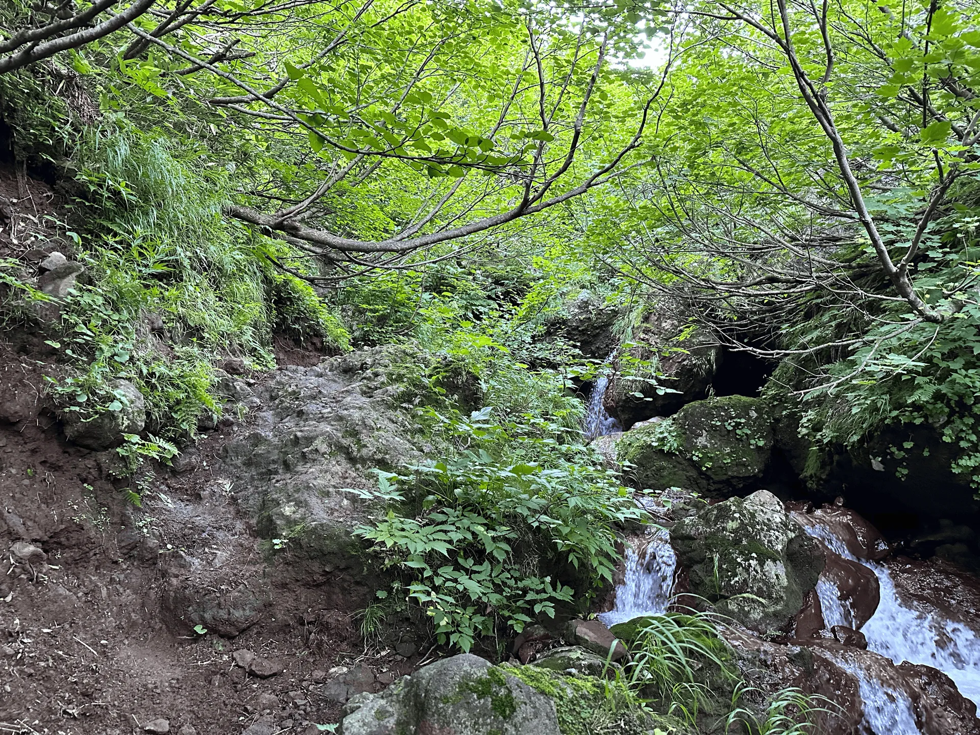
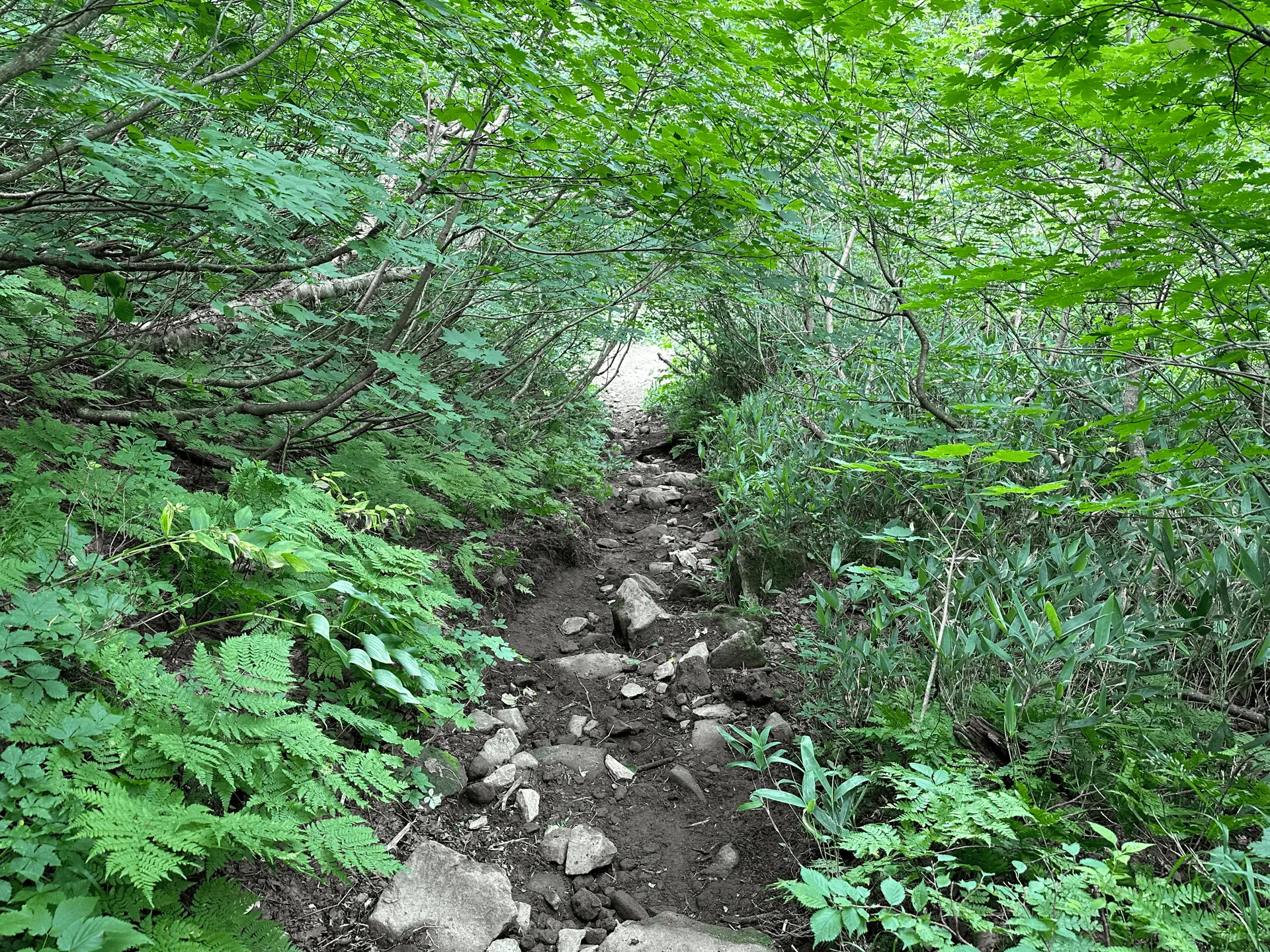
After a lot of stream crossings, we come to the fork in the trail. From here, there are two trails to the summit: the “old route” (旧道) or the “new route” (新道). The old route involves some slightly trickier stream crossings, as well as climbing alongside the stream, while the new route is a more standard (but steep) mountain trail through a forest and along a ridge.
Most hikers tend to climb via the old route, and descend via the new one, although if you are uncomfortable with the stream climbing, then it’s also feasible to climb and descend by the new route. It’s not recommended to descend via the old route, as it is very slippery and would be quite dangerous.

I think this was probably the most fun I’ve had climbing a mountain in a while. I’d definitely recommend giving it a go, even if you are a little bit nervous about the stream climbing course (like I was originally).

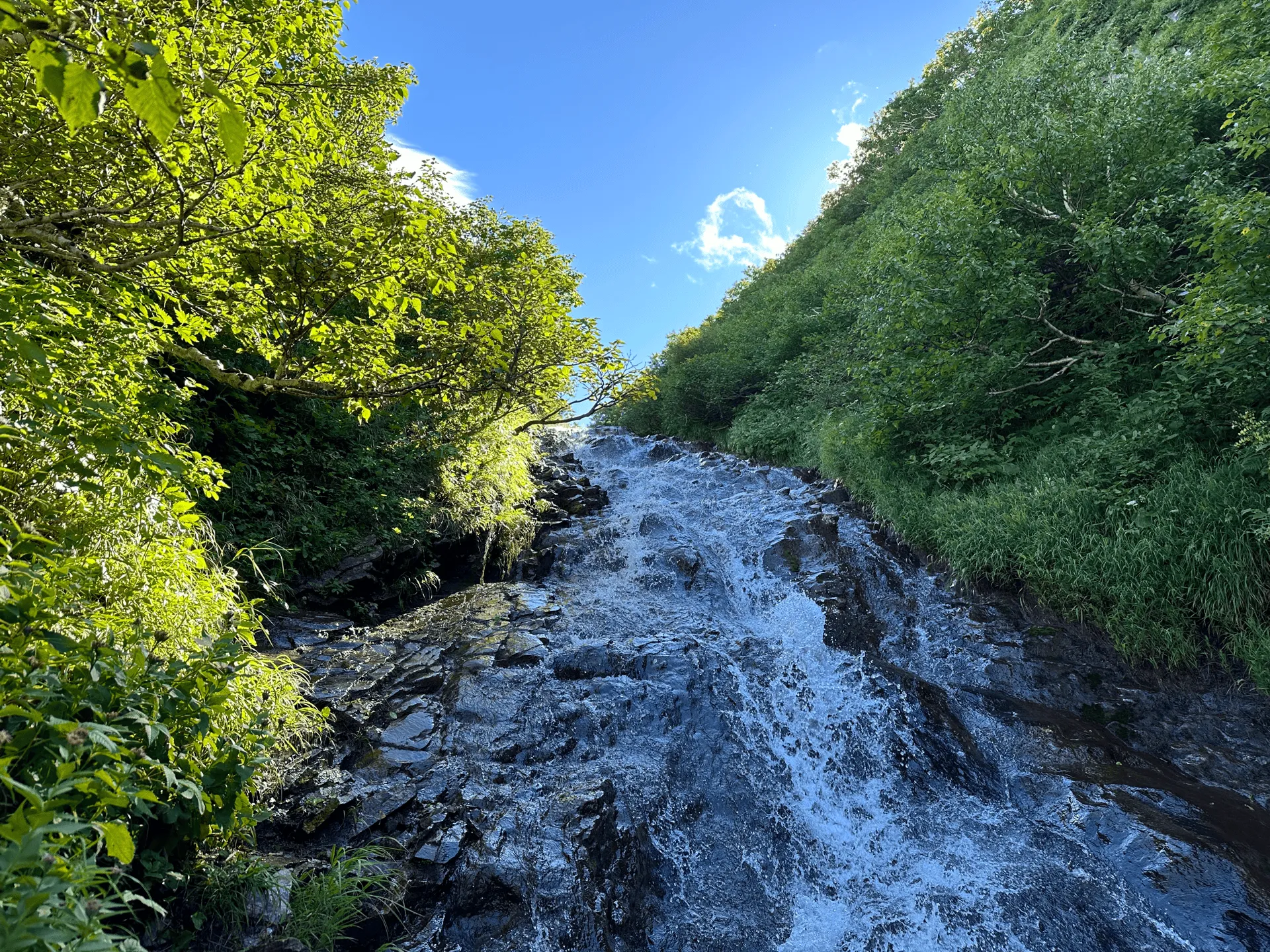
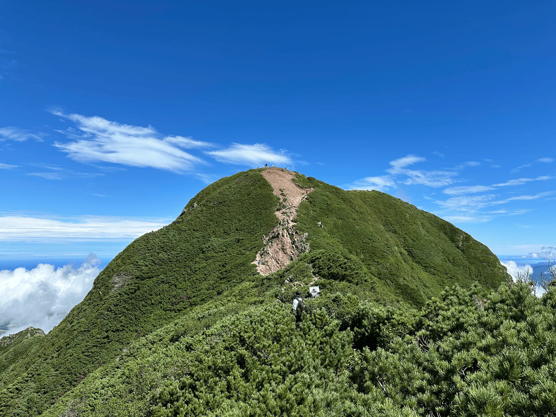
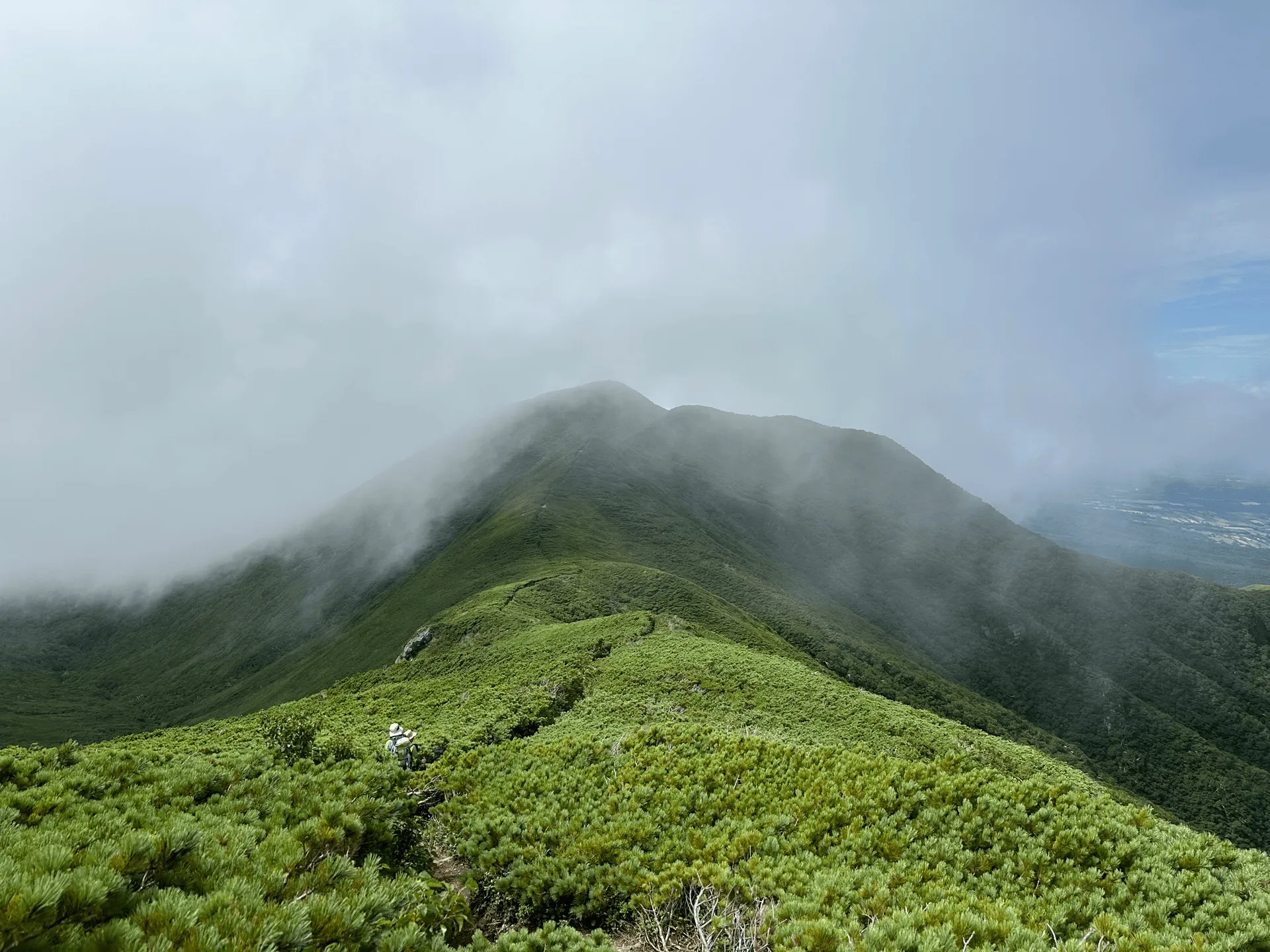
Once you make it past the stream, you’re onto the final climb to the summit of Mt Shari. The weather was perfect today and you could see out towards the Sea of Okhotsk, as well even towards Mt Rausu in the distance.

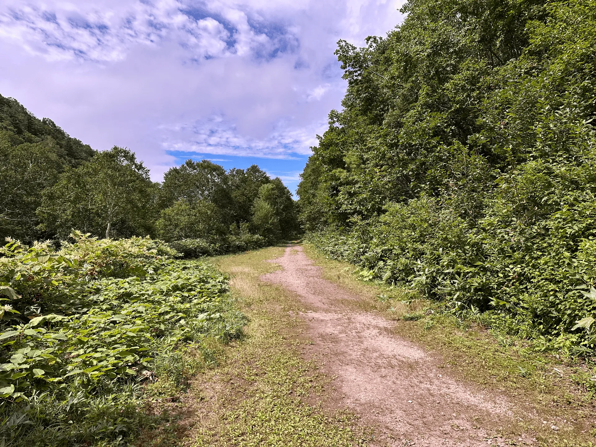
As we descended off the mountain, we took the “new route” on the way back down. This felt quite long, and although there are no stream crossings, it’s still quite steep in bits. If you ascended and descended via this same route, I can imagine the trail could feel really long and boring.
Finally we make it back to the fork, and then it’s back again along all those river crossings. Although I tried to be quite careful when I started the hike, my shoes inevitably got wet, so by this point on the return I didn’t really care if my shoes got more wet or not. This is probably a good mentality to have - I bet it’s safer to focus on having a sturdy footing rather than a dry one.
Hiking course details
| Date climbed | Length | Course time |
|---|---|---|
| 2024-08-14 | 9.5km | 6h50min (the expected time for an average hiker without breaks) |
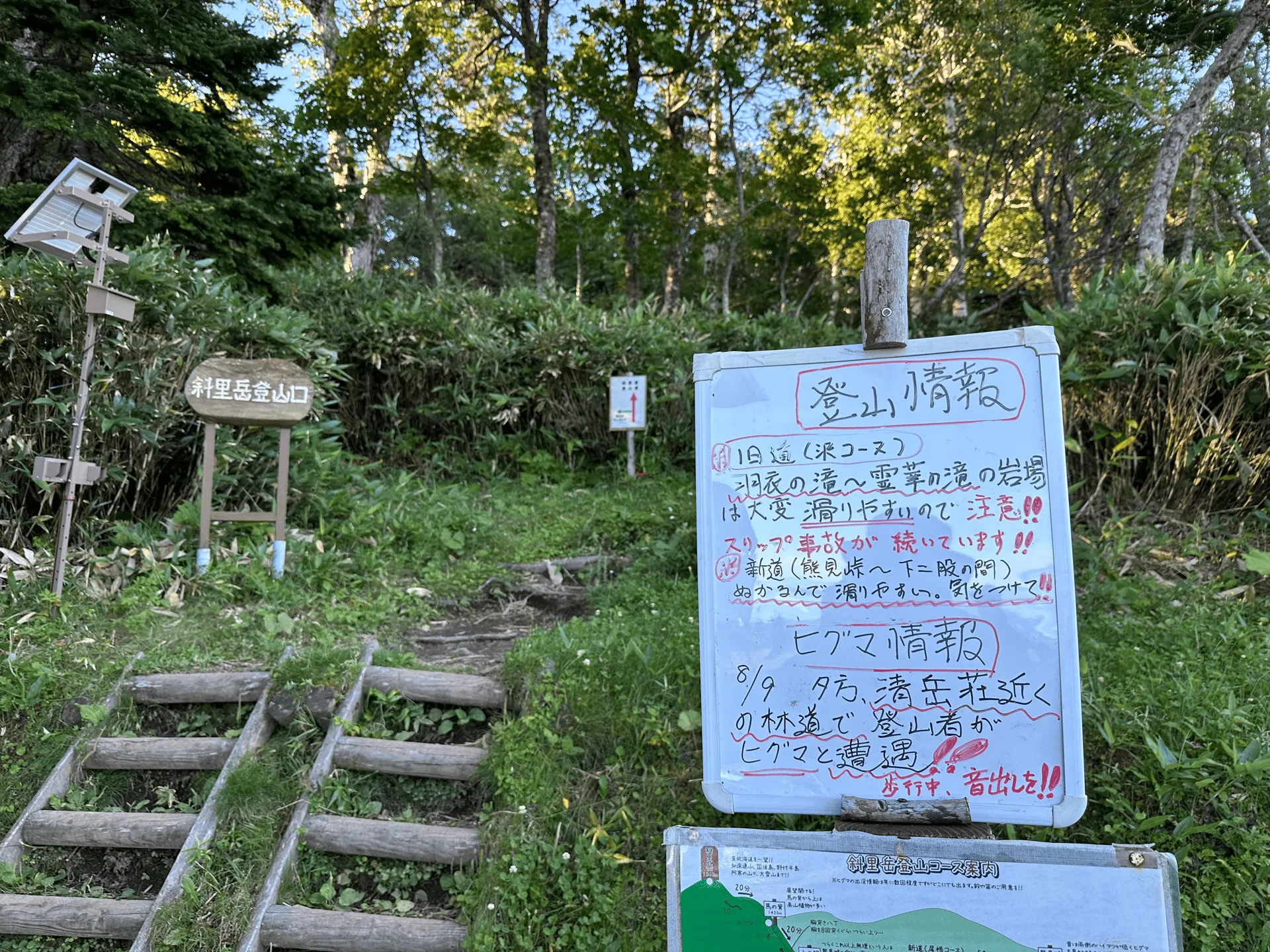
Mt Shari only has one trailhead. From the trailhead, there are around 15 stream crossings. From there, the trail diverges into two routes to the summit:
- The Kyu-do (旧道, or “old route”)
- The Shin-do (新道, or “new route”)
The standard course is to do a loop, climbing up via the old route and descending via the new route. From looking at YAMAP, it looks like around 90% of people opt for this course, and this is what I went with for this hike.
The old route has another 10 or more spots with stream crossings, as well as climbing up alongside the stream itself. If you are not confident in your climbing abilities, or it’s been raining recently and you’re not sure about the conditions of the stream, you can instead opt to just take the new route up and then down again - I saw at least two groups do this on the day I hiked.
I wasn’t sure whether to climb via the old route, but I think if you have good hiking shoes, and climb carefully, it’s definitely doable. At worst your shoes will get wet, but the water was shallow enough that it might run over the tops of your toes, depending on where you placed your feet.
If it’s a cold or windy day I might give it a skip, as I can imagine the conditions would get pretty miserable.
There is a toilet at the trailhead (100 yen) plus a portable toilet station on the trail, only if you’ve brought your own disposable toilet bags.
Public transportation access
Unfortunately, there are no buses that take you to the trailhead for Mt Shari, so your only option is to take a car or taxi.
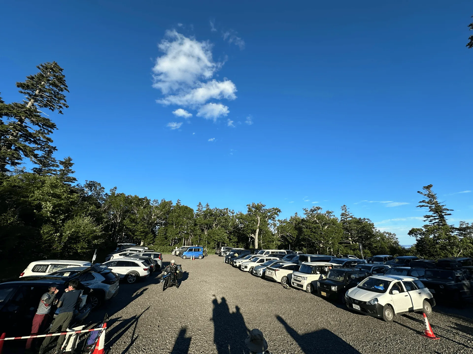
Car access details
There is a paid parking lot (100 yen) run by the mountain hut next to the trailhead. Once this fills up, people park alongside the road leading up to it.
Soyokaze Campground
We spent two nights at Soyokaze Campground (そよかぜキャンプ場) which was about 35 minutes drive from the trailhead.
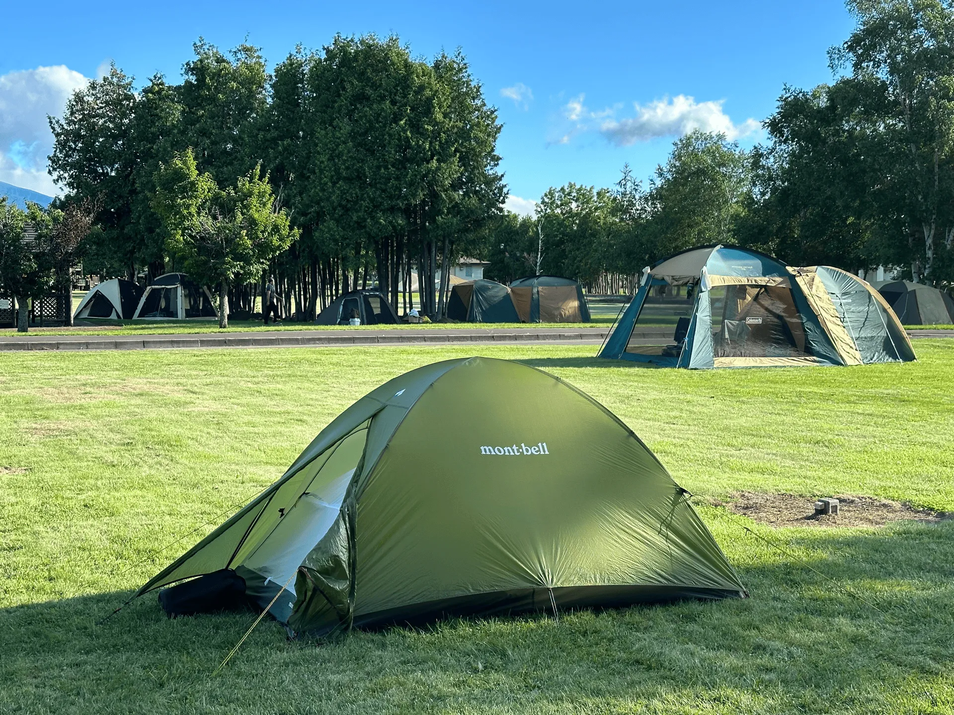
There’s a supermarket within a 5 minutes drive (closed on Sundays), and a dubiously named (but really nice) Papas Land Hot Spring about a 25 minute drive away. The nearby conbinis were also open 24 hours. The campground here was well-maintained, and cost us 500 yen per person a night.
The only downside is that it’s surrounded by farmland, and the breeze occasionally brings in the smell of manure. Although that’s less of a campsite problem and more of a general Shari town problem I think. Also they don’t let you dispose of your rubbish.
The Kiyosato Auto Camping Ground (清里オートキャンプ場) is a closer option only a 15 minute drive from the trailhead, but requires reservations in advance and was fully booked when we tried our luck last minute.
Leave a comment