- Elevation 2228m
- When to climb
Mountain stats
Mt Shibutsu (至仏山, shibutsu-san) is one of Japan’s Hundred Famous Mountains in Gunma. Along with its neighbour Mt Hiuchigatake, the pair lie on either end of the beautiful Ozegahara Marsh. With a hiking course time of 6 hours, Mt Shibutsu can be done as a day hike, but is also popularly done as an overnight trip, which gives you an opportunity to explore the marsh and optionally climb Mt Hiuchigatake as well.
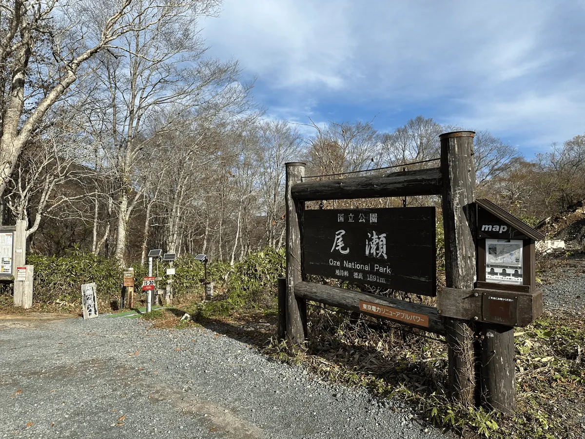
I climbed Mt Shibutsu at the beginning of November, a couple of days before the shuttle buses up to the trailhead stopped running, and enjoyed a very quiet, yet beautiful hike. The course is in a loop, starting and ending at the Hatomatsutoge (鳩待峠) bus stop.
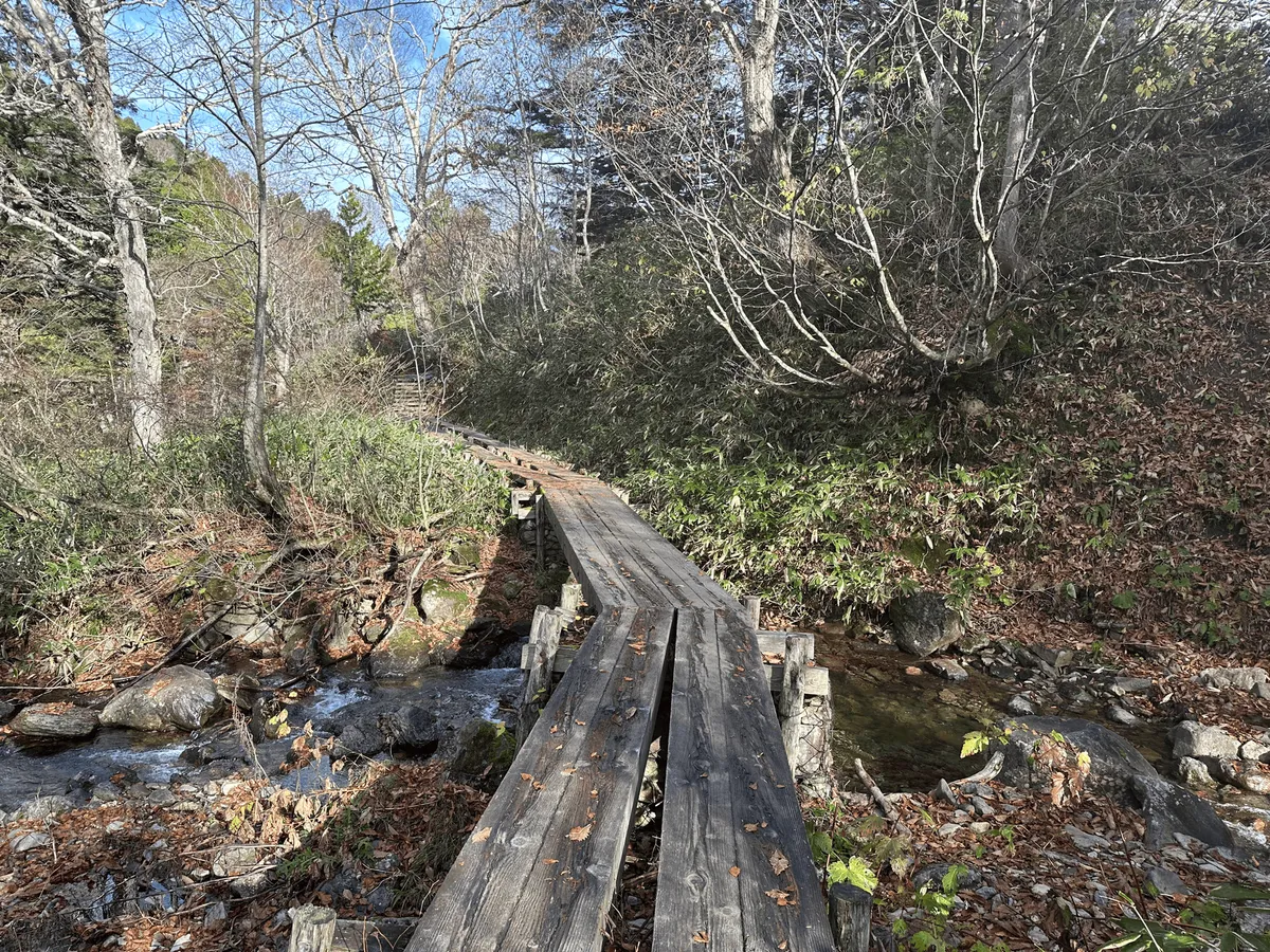
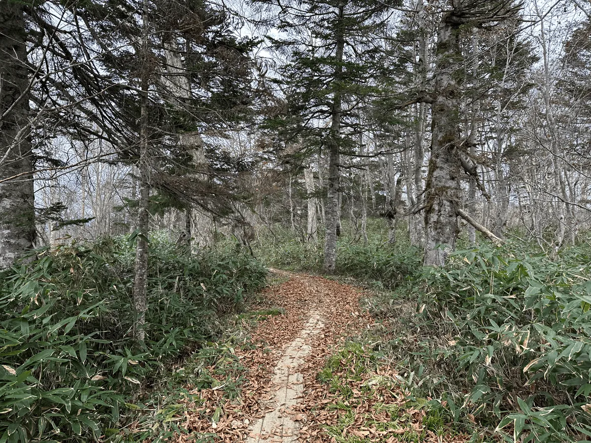
The trail starts off with a 3km descent down towards the edge of the Oze Marsh. Since not all hikers will climb Mt Shibutsu, and some just come to enjoy the marshlands, this part of the course was relatively easy path, with a gradual drop in elevation.
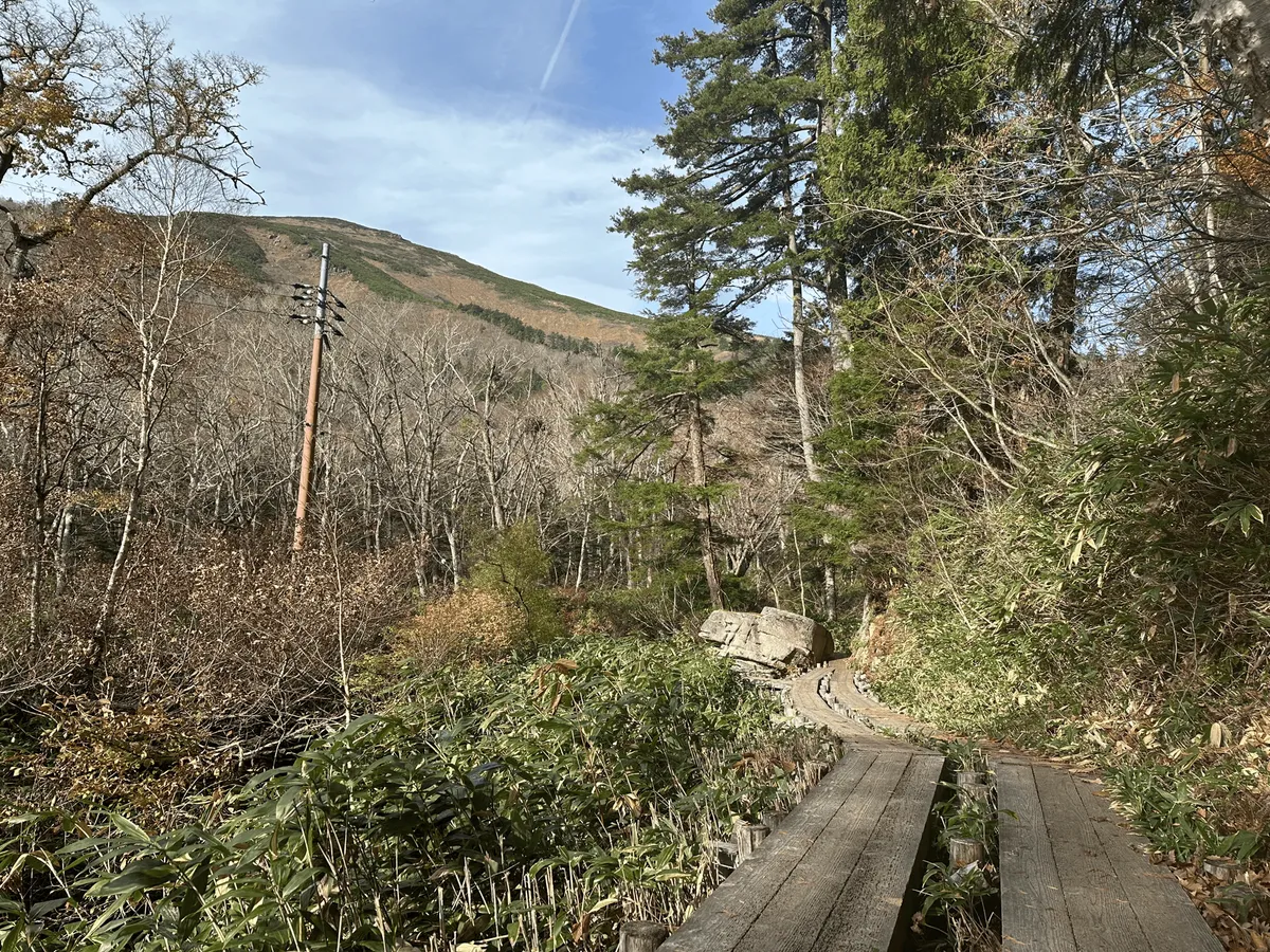
The peak of Mt Shibutsu is actually visible from the start of the trail, although partially obscured by trees. As you continue along the trail, you will get better glimpses of it through the gaps in the trees. Being November, the autumn foliage season had already passed, so the peak was coloured with a mix of green and yellow.
After about 45 minutes, I made it to the Yama-no-hana (山の鼻) visitor’s centre on the edge of the marsh. There’s about 6 or 7 buildings here, although it felt eerily quiet as all the buildings had their windows boarded up.
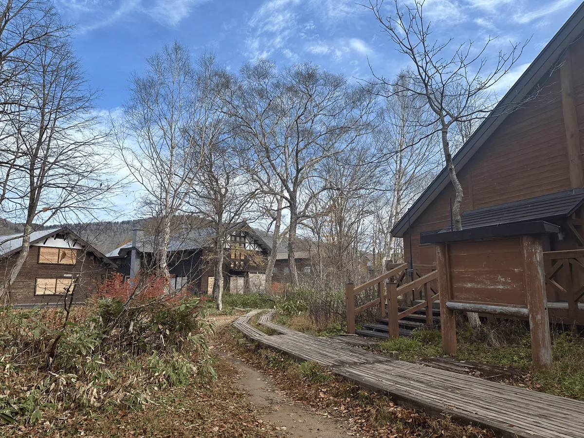
It turns out that although the shuttle buses were still running through to November 4, the visitor centre had closed on October 30, just 2 days before my hike. When the area is open, there are a couple of mountain huts where you can stay the night, as well as an area to pitch your tent.
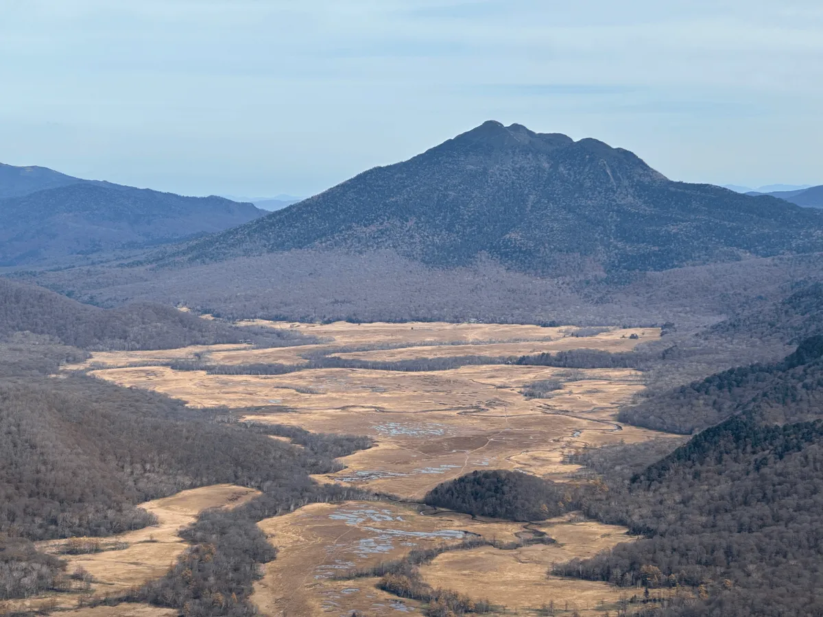
As you pass by the Oze Marsh, you can see both peaks of Mt Shibutsu and Mt Hiuchigatake. It’s actually possible to hike both of these mountains as a 2-day, 28km course.
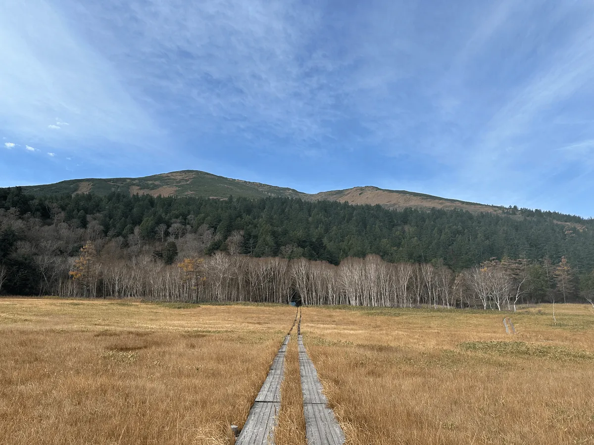
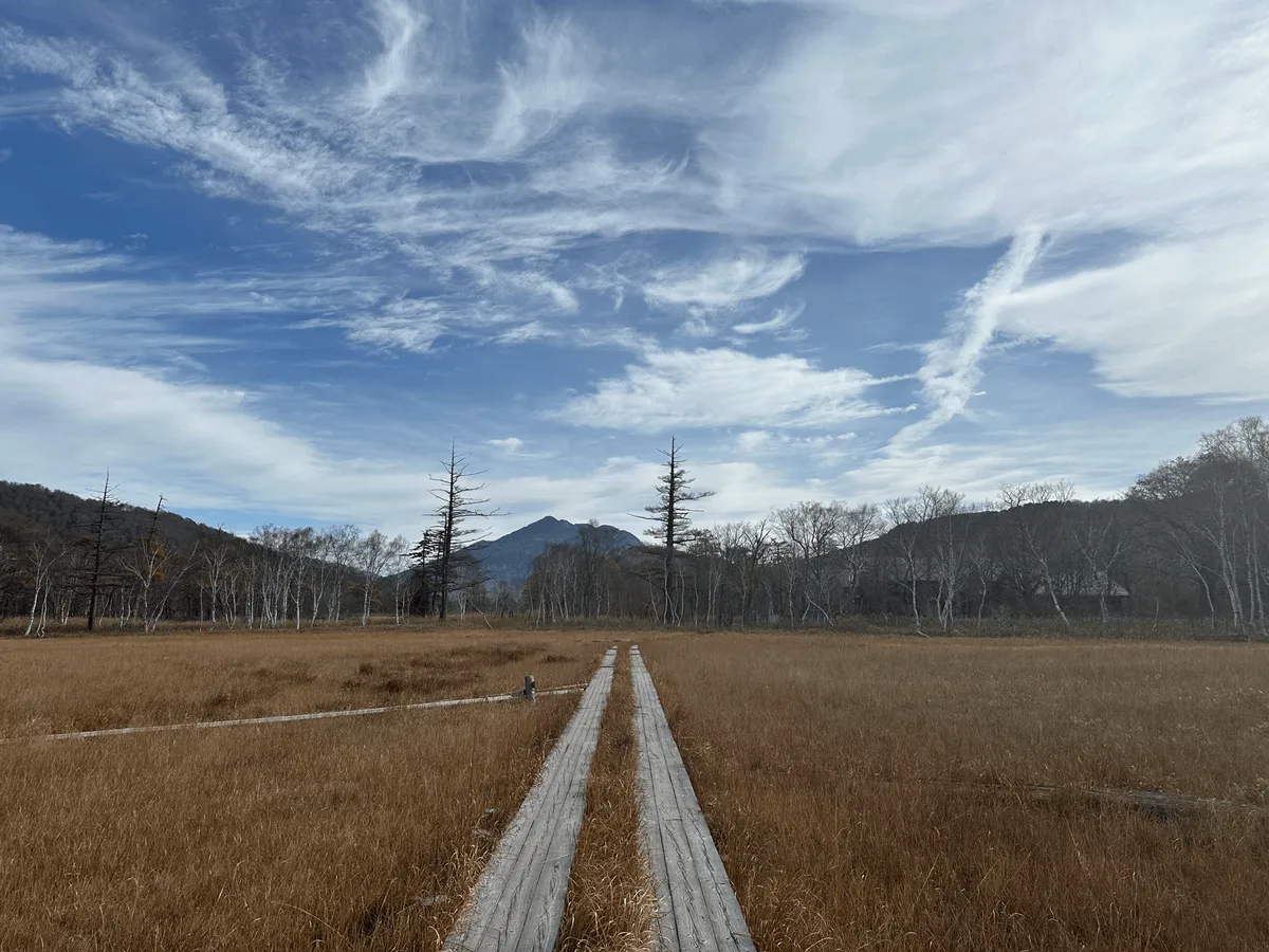
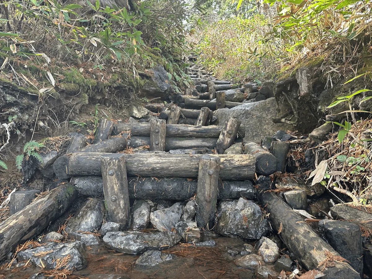
As you reach the end of the boardwalk, the trail becomes quite steep and you have a non-stop climb ahead of you. You’ll gain about 800m in elevation to reach the summit of Mt Shibutsu. The trail starts off amongst dense bushes and trees, without any views.
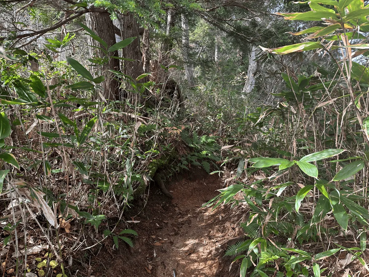
For a 100 Famous Mountain, I was surprised by how quiet the trail was. I was basically alone for large stretches of the climb, although I think climbing on a weekday right before the buses stopped running contributed to this. The trail was also quite wet, with water trickling down and pooling on the steps, so I had to be careful not to get my shoes wet.
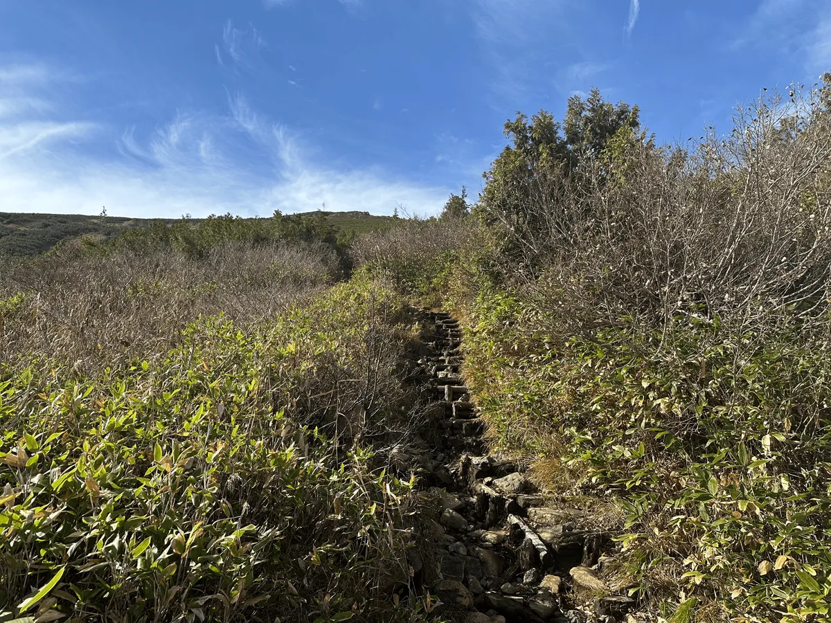
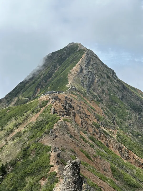
Once you leave the tree line, the views were amazing. I had spent a good deal of time admiring Mt Hiuchigatake the week before while climbing the nearby Mt Aizu-Komagatake and being able to experience that a second time was just as fun. It’s a really gorgeous mountain to look at.
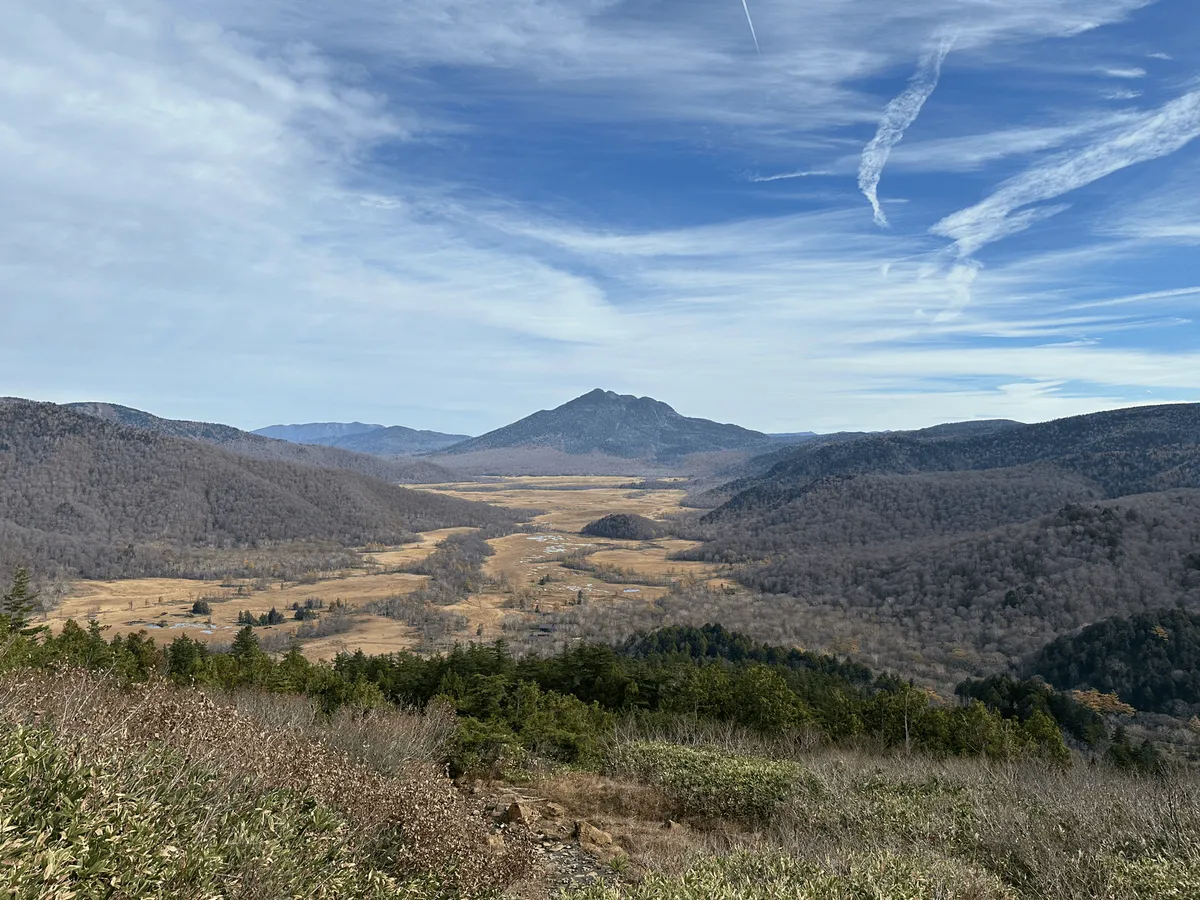
The peak of Mt Aizu-Komagatake is actually visible from here if you squint. It’s the pointy bit on the ridge line behind the left of Mt Hiuchigatake.
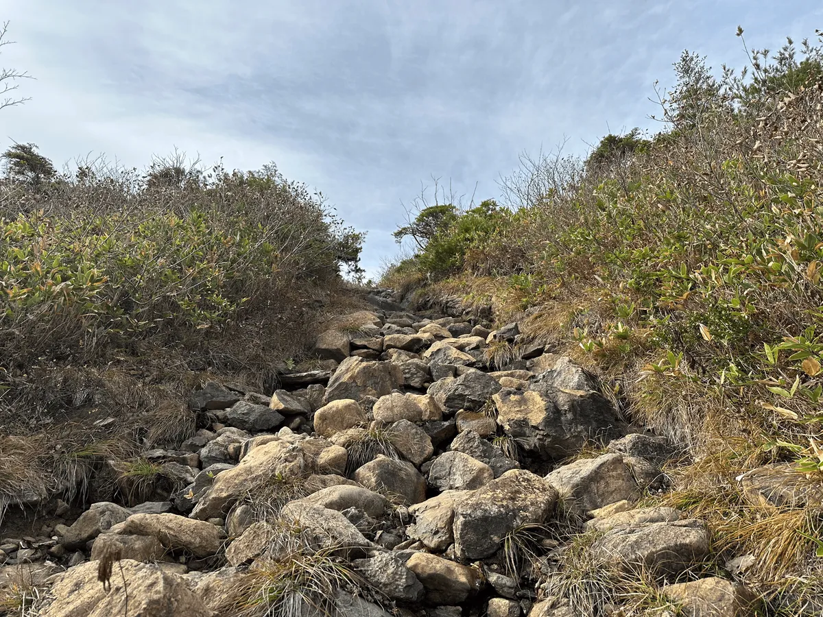
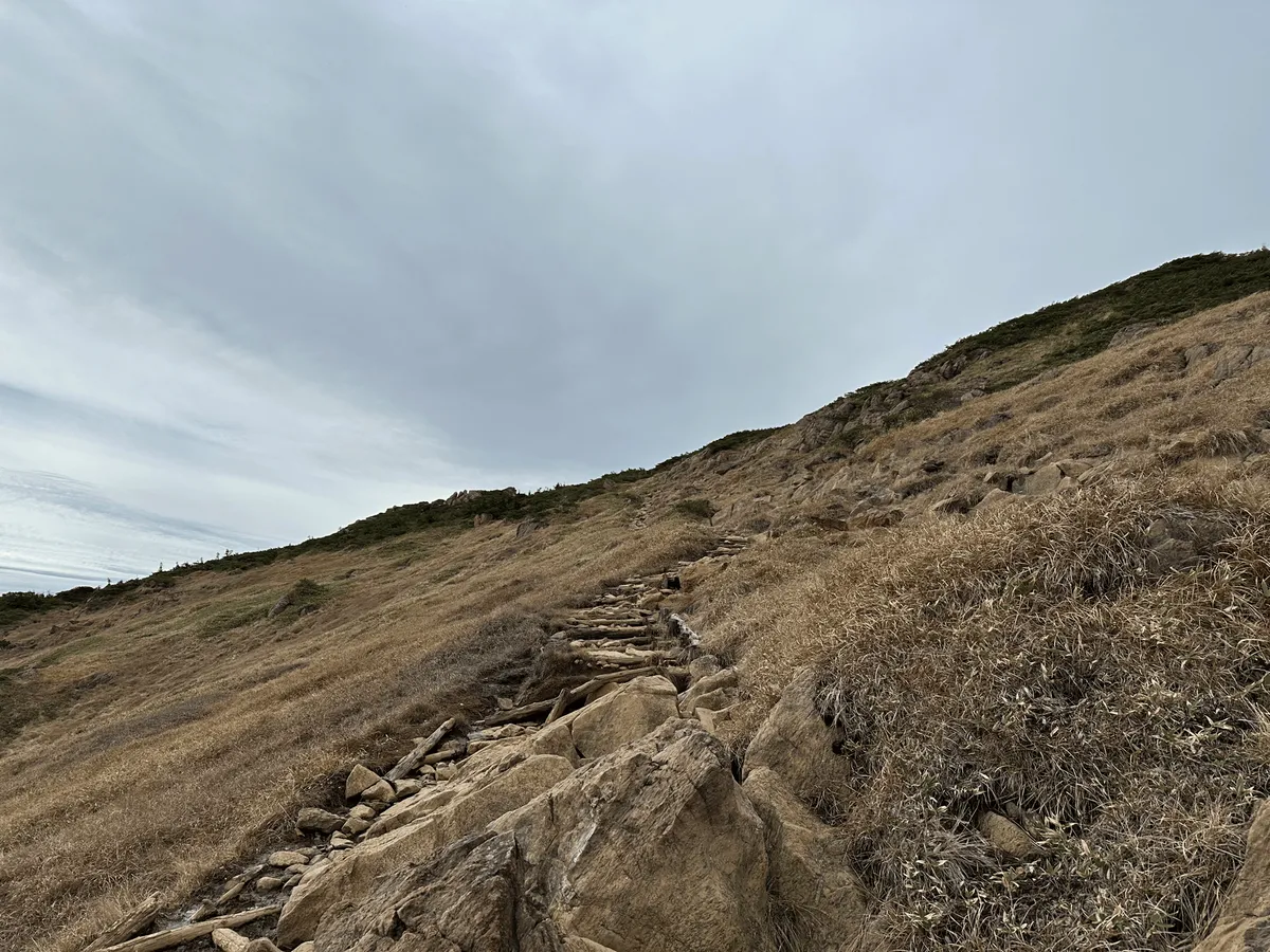
The trail also becomes quite rocky from here on up. I was huffing and puffing up this section, with lots of rocks you have to clamber over. But being able to turn around and see Mt Hiuchigatake made it a lot more bearable.
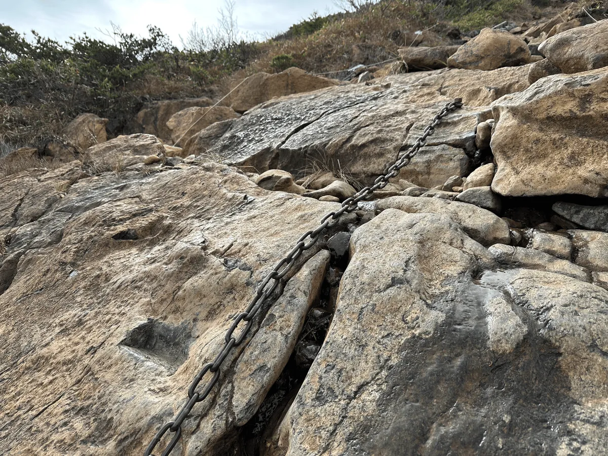
There was one small section where you could climb with the aid of a chain rope. It’s been used for so long that you could see the small grooves in the rock where everyone had been placing their feet.
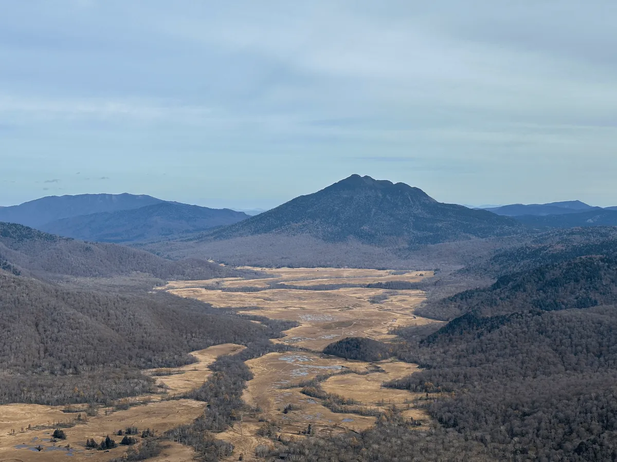
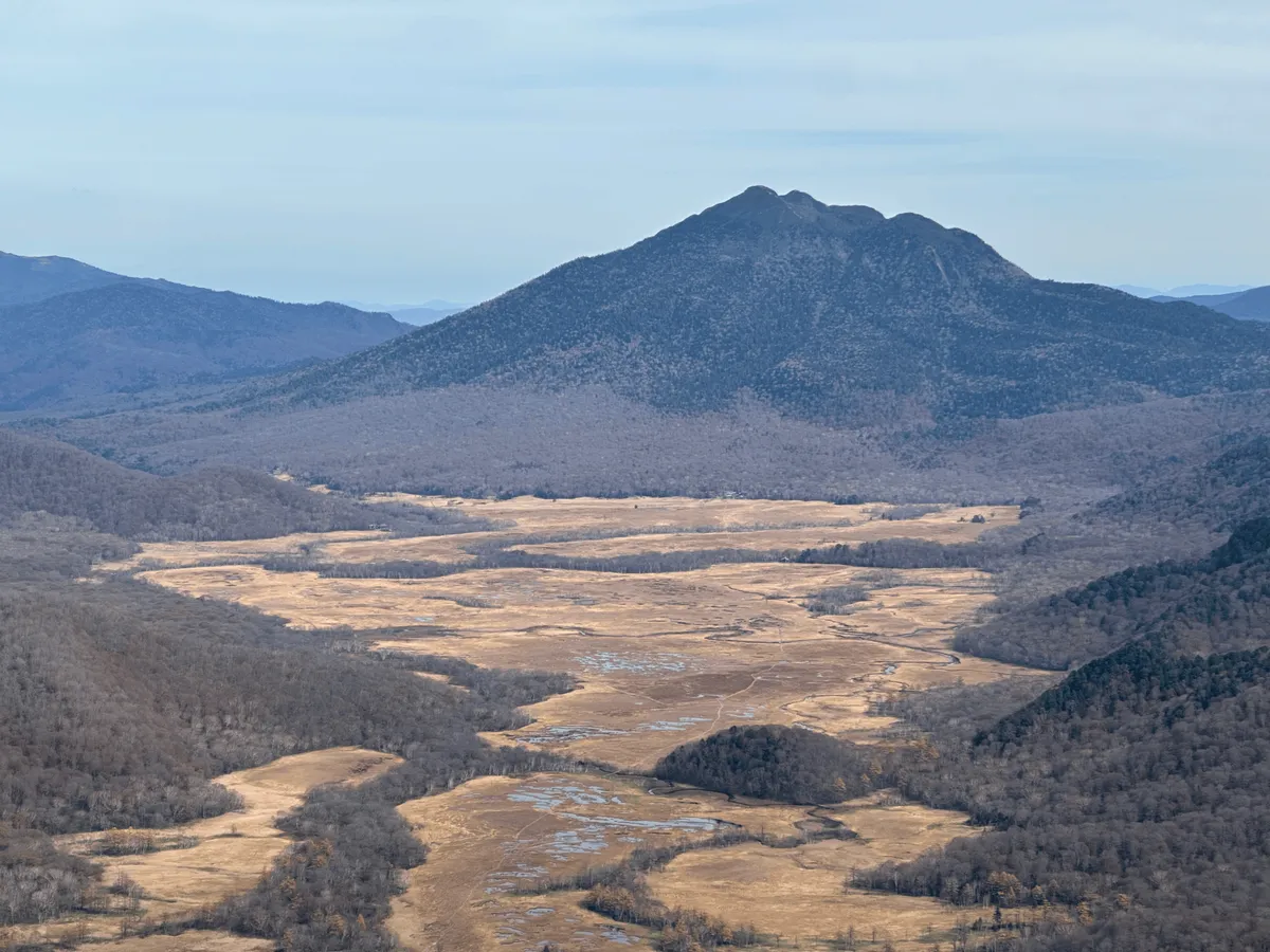
As you climb up and up, the views of Mt Hiuchigatake get even better. Even though the autumn foliage season was over, I still loved the contrast of the blue-green mountain, yellowed grass and the little pockets of marsh, which were blue from the reflection of the sky above.
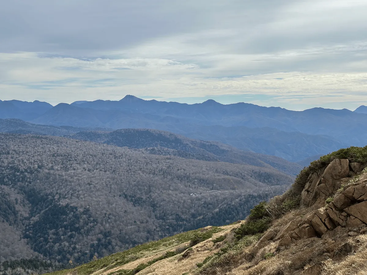
If you look to the left of the trail, there’s also the opportunity to see out towards the mountains in Nikko - possibly Mt Nantai or Mt Nikko-Shirane?
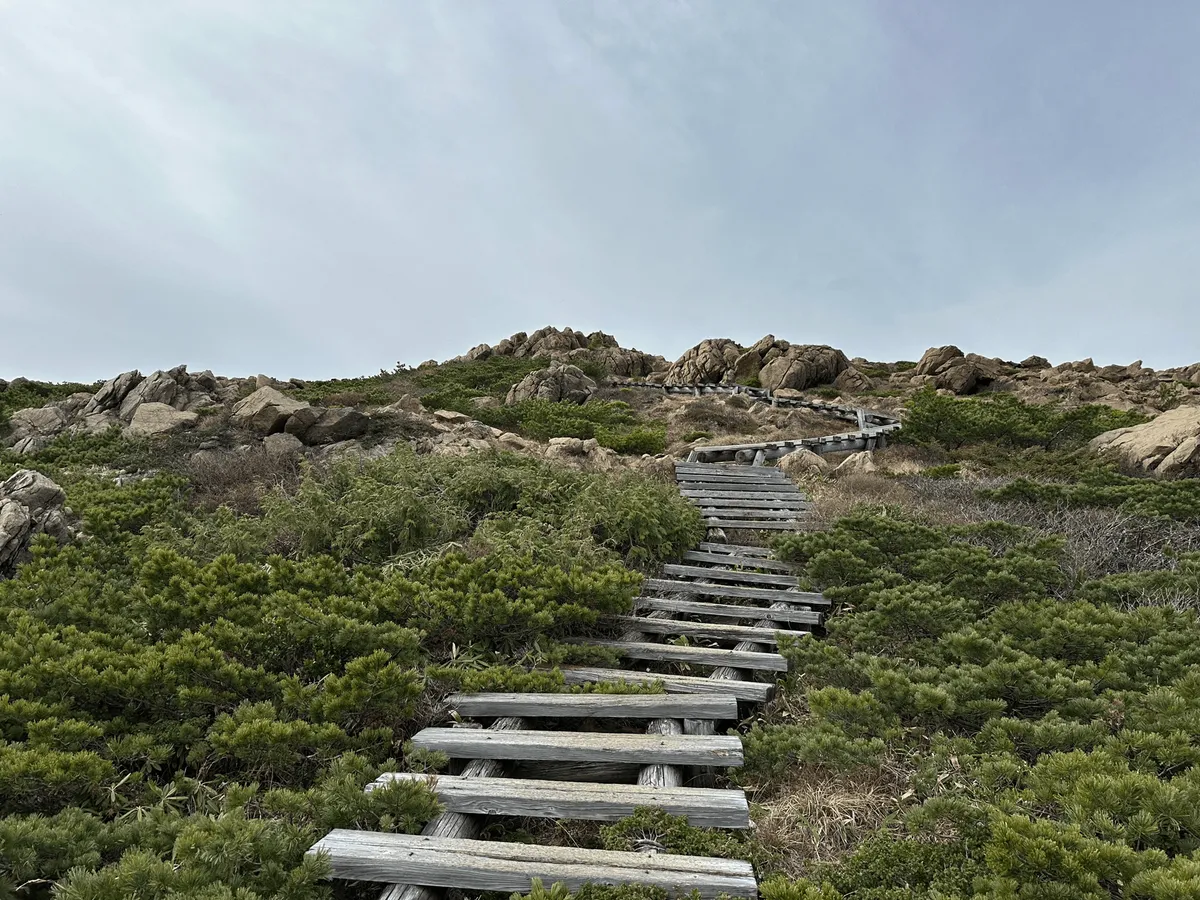
As you keep climbing, there’s a couple of moments where you feel like the end is finally in sight, and the peak must be just over that hill - but it’s actually still 25 minutes away.
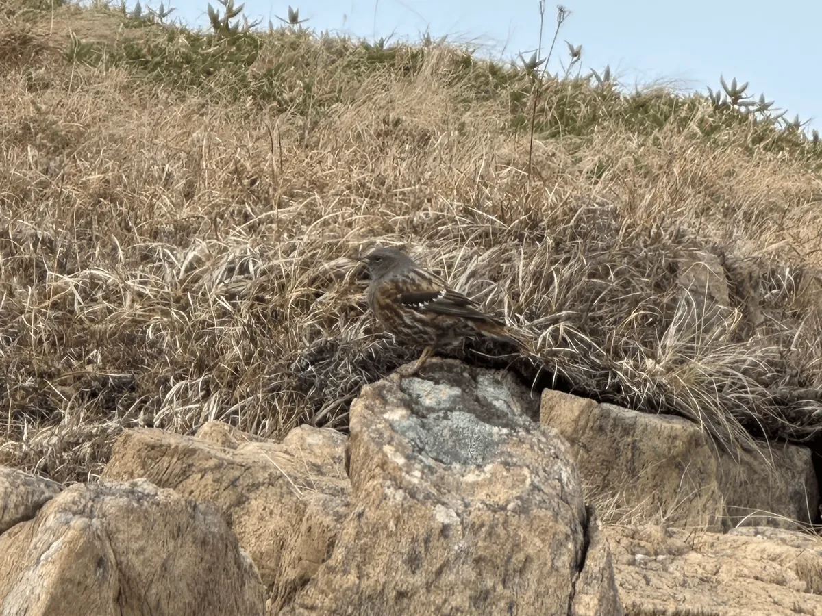
On this final bit of the climb I spotted the only animal I saw on this hike - an Alpine Accentor or “iwahibari” (イワヒバリ) bird.
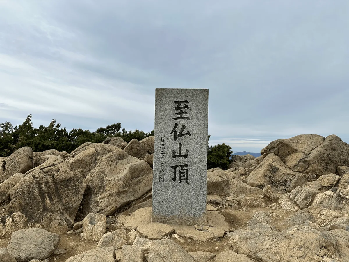
After under 3 hours of climbing, I finally reached the peak of Mt Shibutsu. From the peak, you get 360 views of mountain ranges in all directions.
If you look closely, the tip of Mt Fuji is also faintly visible from here, although a little hazy.
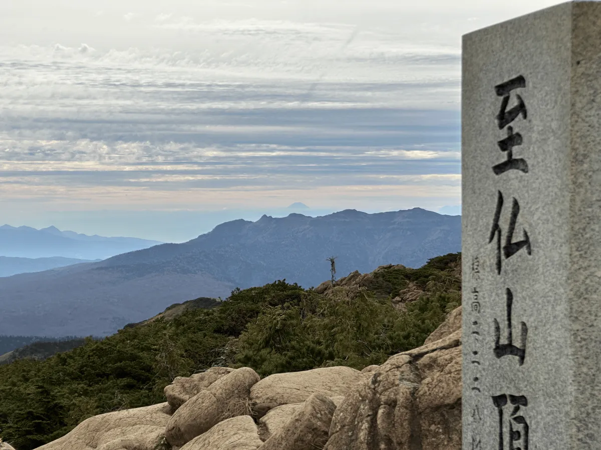
After a quick lunch break, it was time to continue on the trail back to the bus stop. The first part of the descent is quite steep over some rocks, although this doesn’t last for too long.
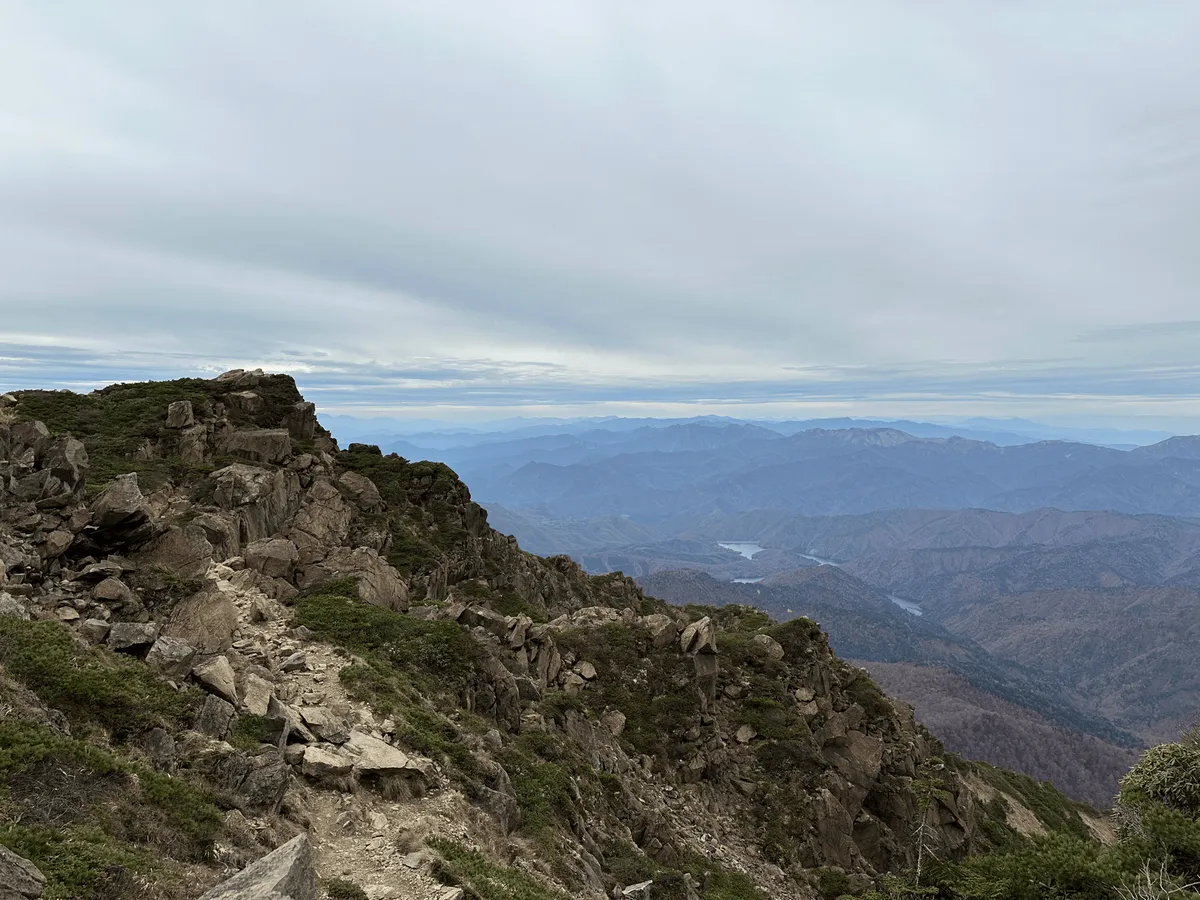
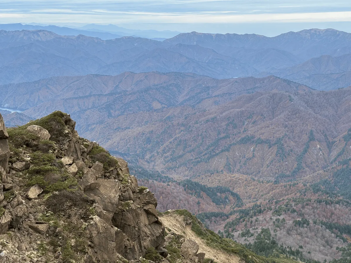
Although the autumn foliage had already ended at Mt Shibutsu and Oze, from the descent downwards you could see the lower elevation mountains in the distance were still a pretty shade of red.
On the return trail, there’s also a second peak you get to climb called Mt Koshibutsu (小至仏山, koshibutsu-san) or literally “little Shibutsu”.
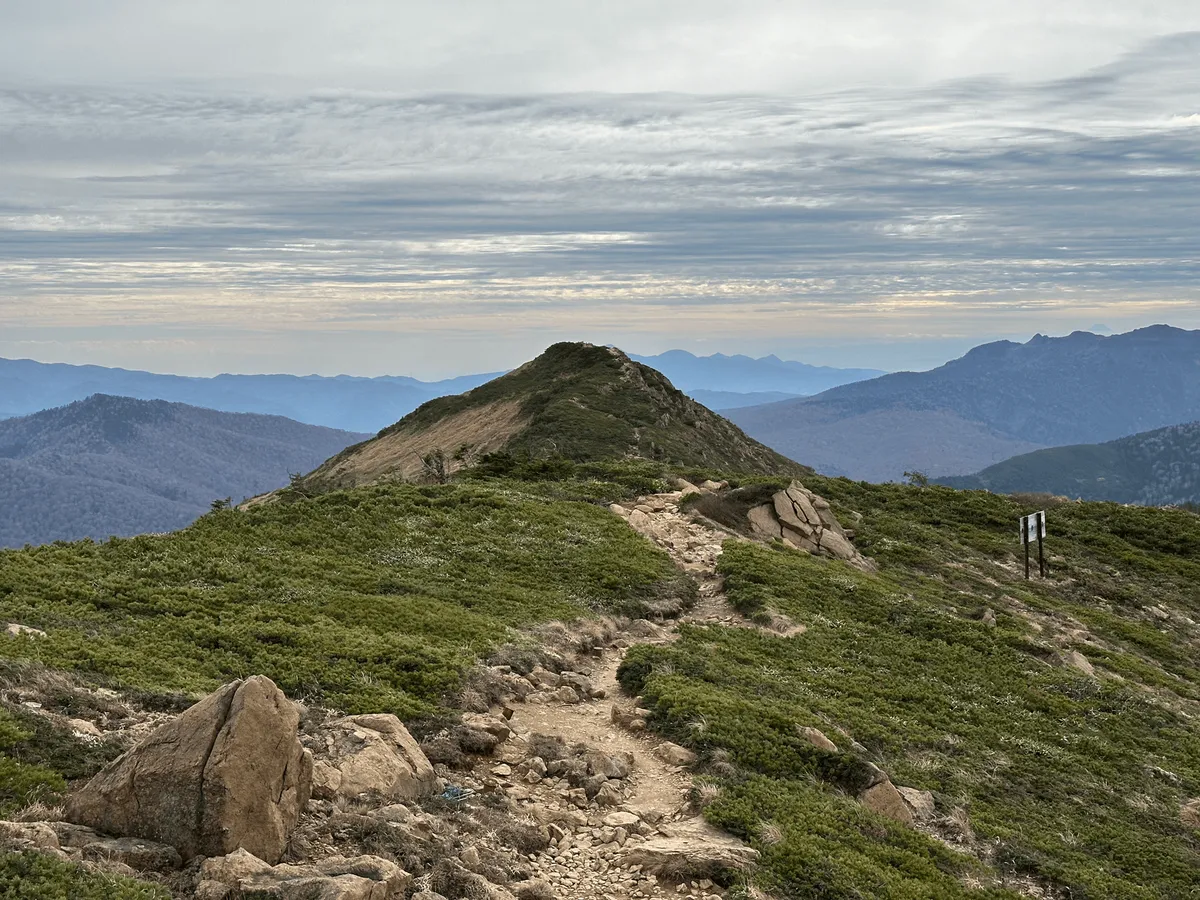
From Mt Koshibutsu, you also get a rare opportunity to see both Mt Shibutsu and Mt Hiuchigatake in the same frame, with the Oze marsh spread out between them.
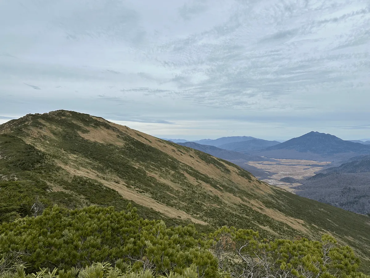
Although there are a few little steep sections near the start, the trail down back to the bus stop is overall quite manageable.
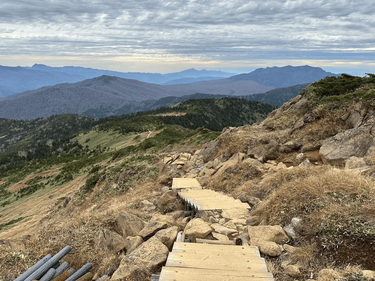
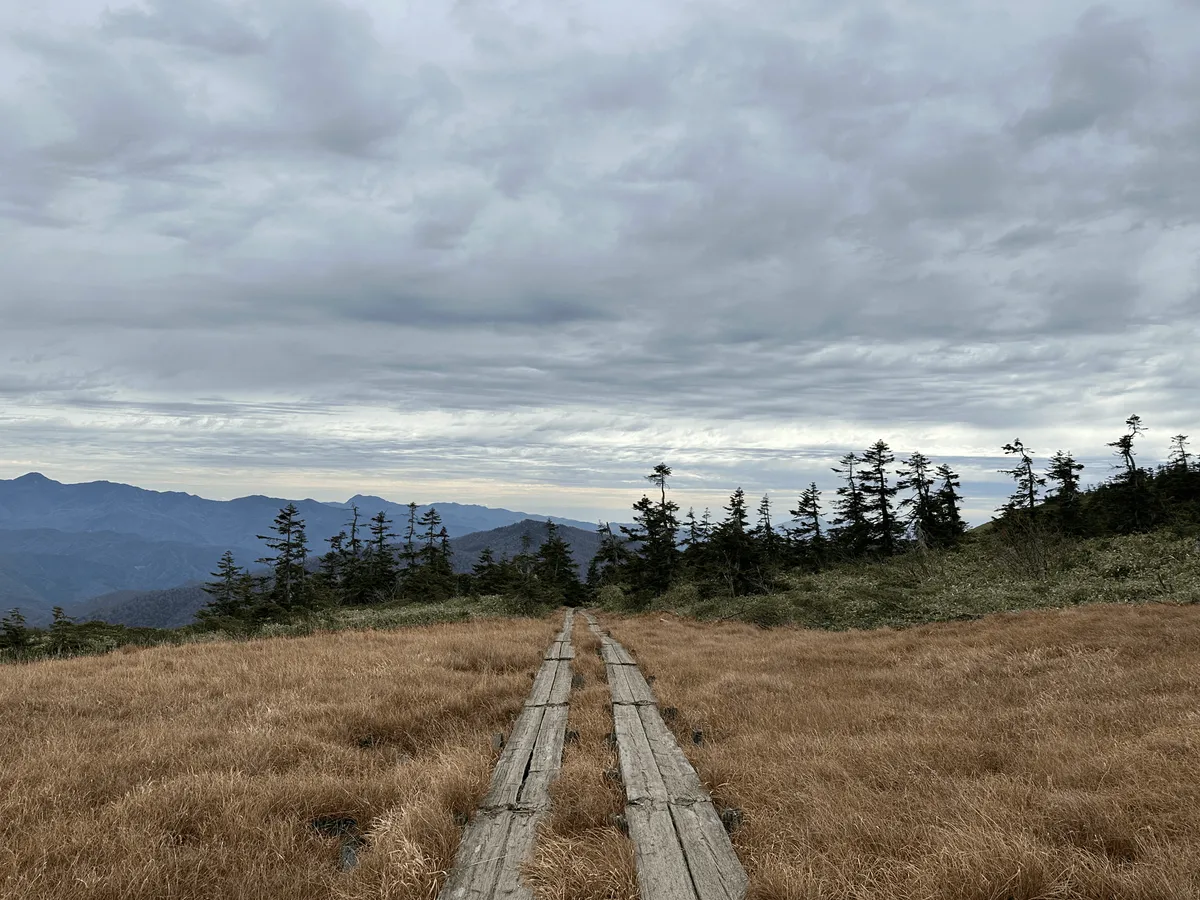
You also get one final chance to catch a glimpse of Mt Hiuchigatake, before you descend back below the tree line.
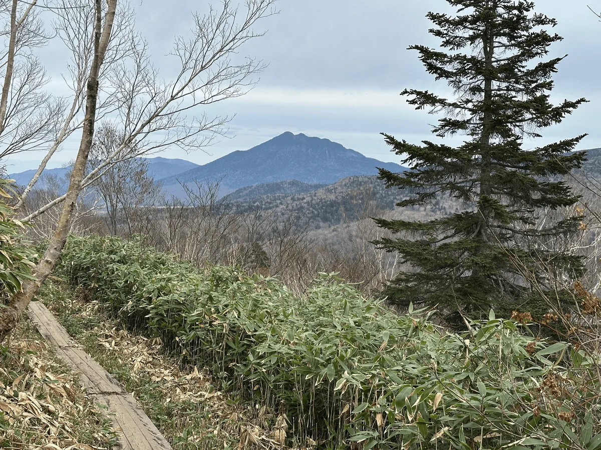
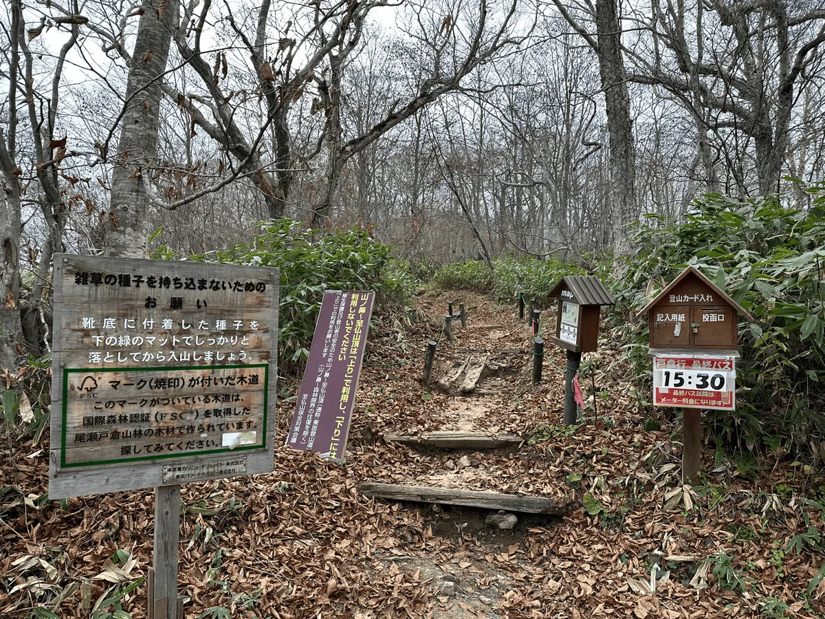
As you finish the trail, there’s also a bit of signage at the trailhead. Basically it says that you’re not allowed to do the course in reverse - if you climb via Mt Koshibutsu, you must descend down via the same route. Just something to keep in mind!
Hiking course details
| Date climbed | Length | Course time |
|---|---|---|
| 2024-11-01 | 10.5km | 6h (the expected time for an average hiker without breaks) |
I took the loop course starting and ending at Hatomachitoge bus stop (鳩待峠バス停), which will take you 6 hours. The portion from the marsh to the summit of Mt Shibutsu is marked as a “climbing-only” trail on the map, as well as on signage at the trailhead. So if you want to hike the mountain as a loop, I would recommend climbing it in the same order I climbed (Mt Shibutsu first, then Mt Koshibutsu). I assume this is to prevent congestion issues. I did see about 2 people descending via the “climbing-only” trail, but also it was a very quiet day so I don’t think it really matters.
If you wanted to take a slightly shorter course, you can take and out-and-back course to Mt Shibutsu, which goes via Mt Koshibutsu. This is only marginally shorter (5.5 hours instead of 6) although you do save 200m in elevation gain so it is an option if you are worried about your stamina. My favourite part of the hike, which was the views out across the marsh to Mt Hiuchigatake is via the loop course though so I definitely recommend it if you have the time!
There are toilets at the carpark, the Hatomachitoge bus stop, and probably at the visitor centre on the edge of the Oze marsh - although I didn’t check, and they may be closed once the visitor centre is closed for the season.
The shuttle bus to Hatomachitoge
Whether you come by public transport or car, you must take a shuttle bus up to the trailhead, as the road to the Hatomachitoge trailhead has a ban on private cars. The bus up to the trailhead is scheduled hourly. However even if you miss the bus, you won’t have to wait the full hour, as they have microbuses that they also send out as soon as they reach the 8-person capacity. In the morning, I missed the 7:30 bus, but was able to get on a smaller unscheduled bus by about 8:00. The bus will take 30 minutes to get to the trailhead. In the busy season, I assume they are just sending out as many buses as they possibly can to complete with the demand, so I don’t think you have to worry too much about adhering to the timetable.
The bus ticket to reach the trailhead costs 1300 yen one-way, which you buy separately at either end. For the trip to the trailhead, there is a ticket machine available near the bus stop, while on the return, you’ll need to buy one from the souvenir shop near the trailhead. Both are cash-only, so make sure to bring enough spare change.
For the return bus, I finished my hike at around 14:00 and got on the scheduled 14:30 bus back - it didn’t seem like they were running the unscheduled ones.
I would also recommend double-checking the return bus timetable before you go. When I went, the last bus back from the trailhead was at 15:30, although online I saw that they usually have the last bus departing at 16:30.
When to climb Mt Shibutsu
Since the trailhead is only accessible via bus, when you can climb is dictated by the bus’s timetable. In 2024, the bus was running from the 19th of April through to the 4th of November.
However, the trail up to the peak is also closed between May and June to protect the vegetation as the snow melts. And since April will still have snow left on the mountain, realistically speaking, the main hiking season for Mt Shibutsu is from the beginning of July through to the end of October.
Public transportation access
If you want to come to Oze via public transport, the official Oze website recommends coming via Numata station (沼田駅). From Numata station, you’ll need to take a 85min bus to Oze-Tokura (尾瀬戸倉). And then finally onto the shuttle bus to Hatomachitoge.
If you wanted to climb this mountain as a day hike from Tokyo, it should just be possible:
- Coming via Shinkansen from Tokyo, you’ll be able to get to Numata station at 8:01
- The bus from Numata station to Tokura leaves at 8:05 and arrives at 9:33
- Factoring in a bit of wait time, you should be able to get on the Tokura shuttle bus before 10am, and be at the trailhead by 10:30am at the latest.
Assuming the last bus back is at 16:30, you’ll have 6 hours to hike. I might consider doing the shorter 5.5 hour course to give yourself a bit of leeway. However if the last shuttle bus leaves at 15:30, then a day hike is probably more sketchy, unless you are sure you can hike quickly.
For your trip back home, once you get the trailhead bus back to Tokura, the buses back to Numata station seem to run until quite late, so you shouldn’t have any problems there.
Car access details
| Car park | Time (from Tokyo) | Round trip cost |
|---|---|---|
| Oze Parking Lot 1 (尾瀬第一駐車場) | 3h | ~13000 yen |
The Oze carpark costs 1000 yen. You receive a ticket when you enter, and then pay via machine (cash-only) when you leave. The carpark is quite large as Oze is a very popular hiking destination. From reading Google reviews, it seems like even on regular weekends you should have no problem finding a spot, but that maybe you will have to find some overflow parking on 3-day weekends.

When I arrived I had just missed the 7:30 bus, and the parking attendant was kind enough to tell me to wait in my car (since it was only 5°C outside!) until enough people arrived to send out a micro bus.
Leave a comment