Mt Sobo (祖母山, sobo-san) marked the first of four 100 Famous Mountains that I climbed in my solo Kyushu trip last November. My plan was to fly in via Oita airport, climb some mountains as I made my way down Kyushu, and fly home via Kagoshima airport. I also did this entire trip using only public transport!
I flew in the day before my first hike, and stayed at a hotel near Beppu station.
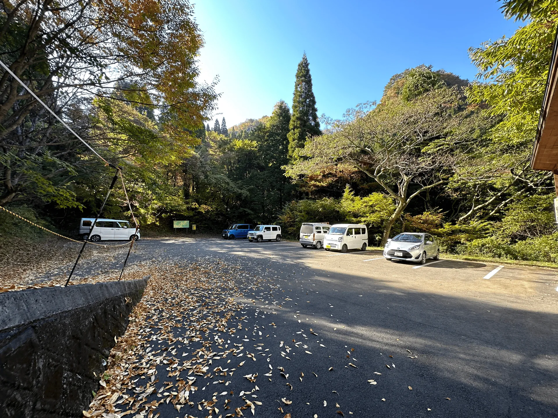
I had gotten used to how cold it had been getting recently in Tokyo and Nagano and brought pants and layers suited for autumn hiking but it was still pretty warm down here in Oita, and so I ended up only needing a short sleeve shirt on top for the entire hike.
With a max elevation of only 1756m, and being in the south of Japan, Mt Sobo can be climbed without specific snow gear from April through to December. Which makes it an ideal candidate if you’re looking for somewhere to climb in the hiking off-season.
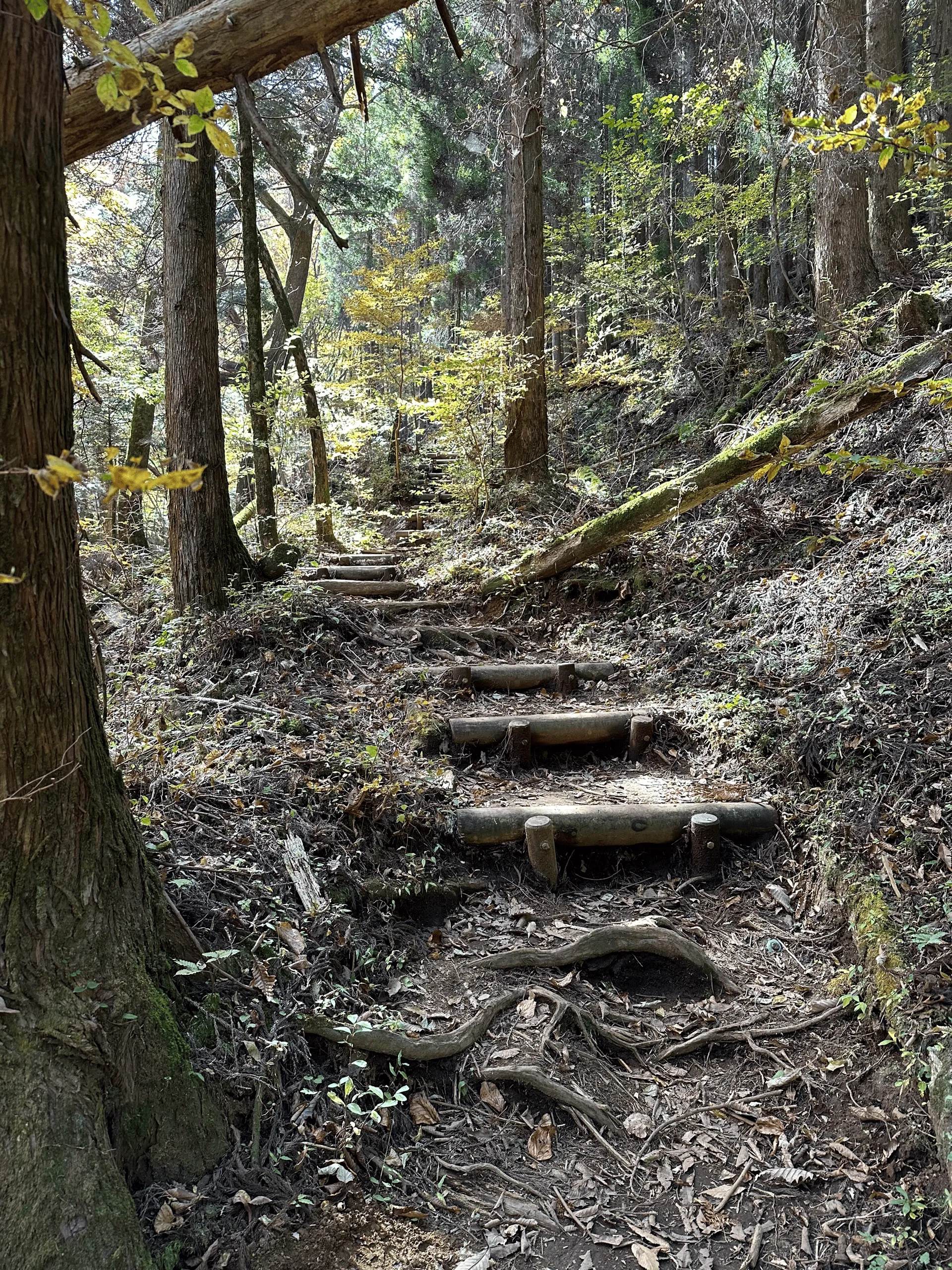
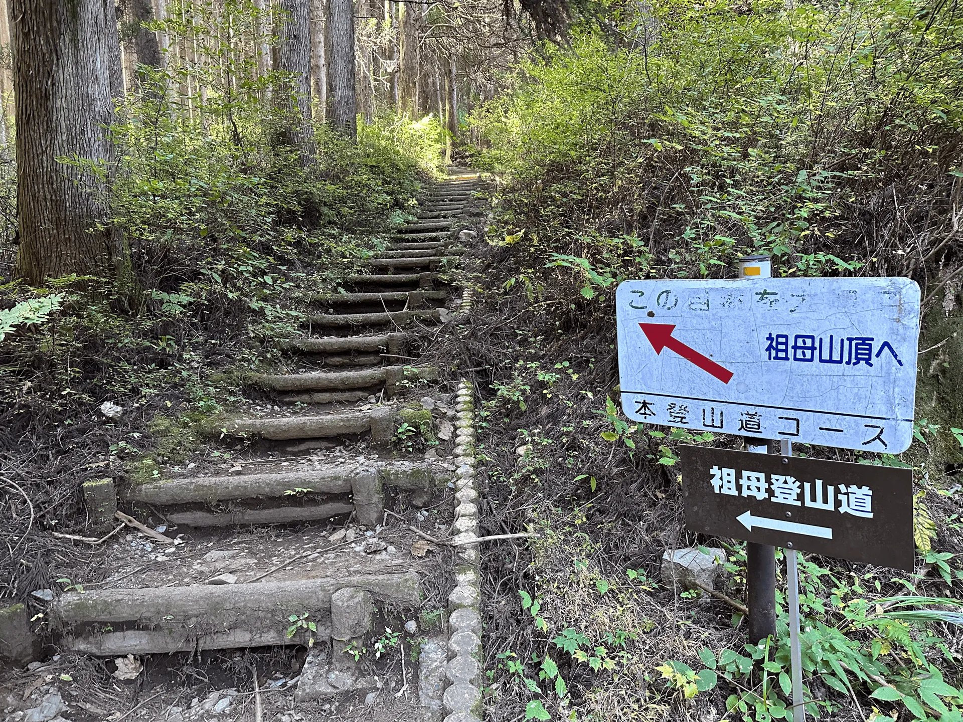
The course starts off fairly easy but then there is a 2 hour endless climb that gets pretty tiring. I also had to walk it slowly on the way back because all the autumn leaves making it pretty slippery.
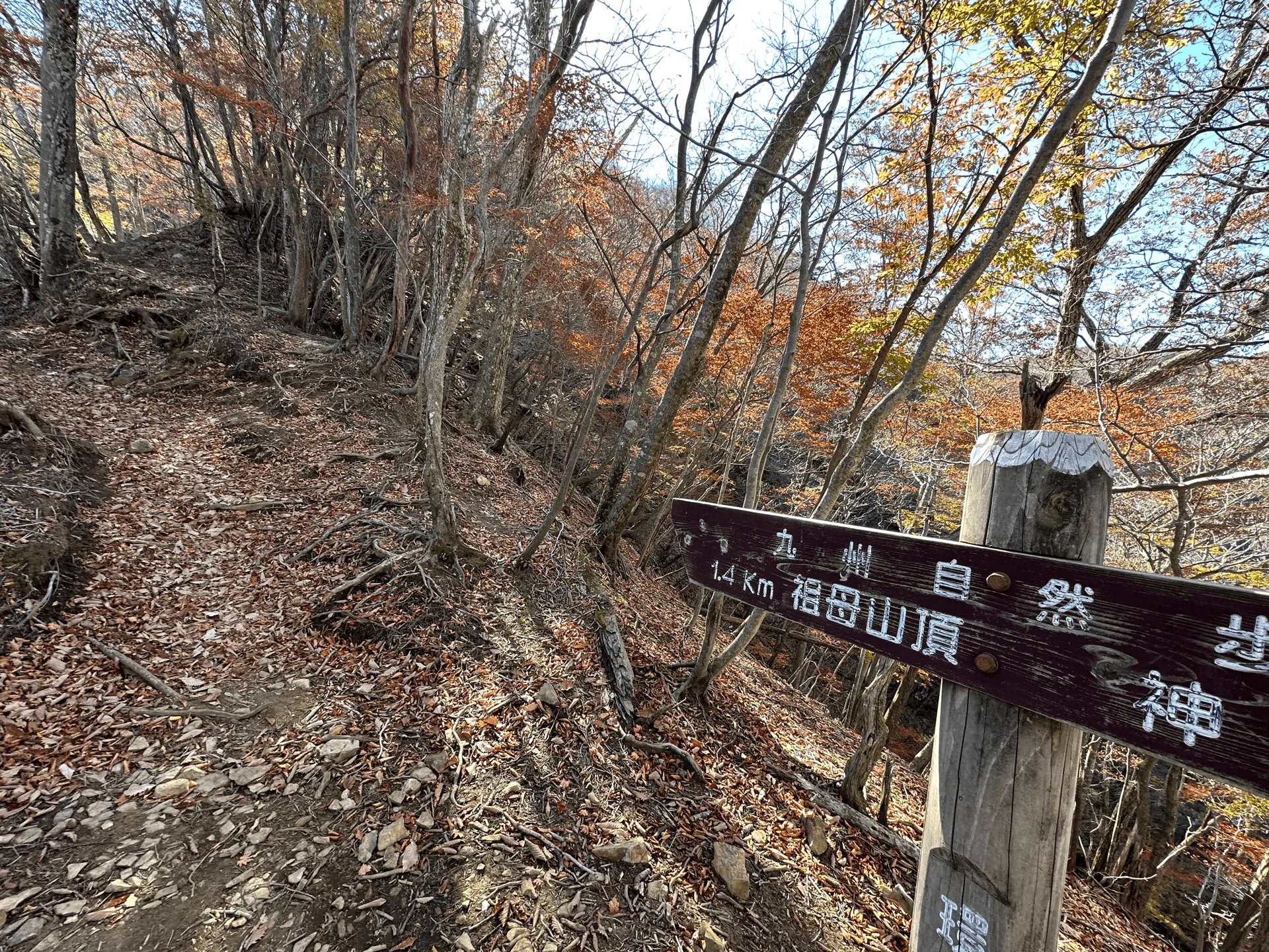
I didn’t see many people climbing from the trailhead I used, but once you reach the last third where two trails combine, there’s a lot more people who came from the other trail.
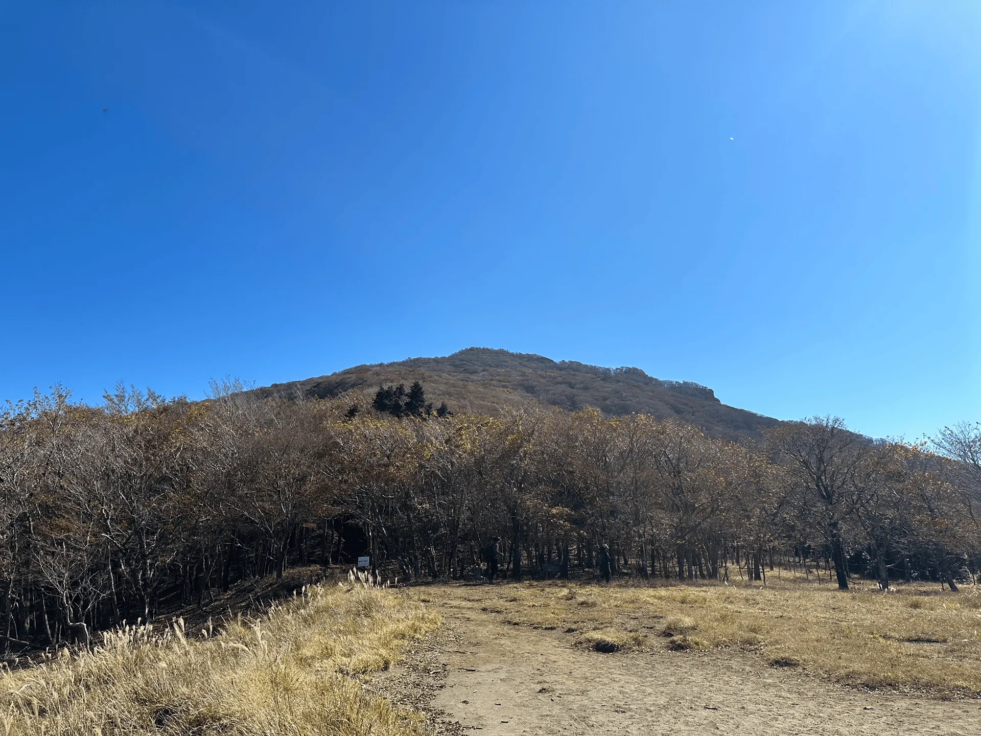
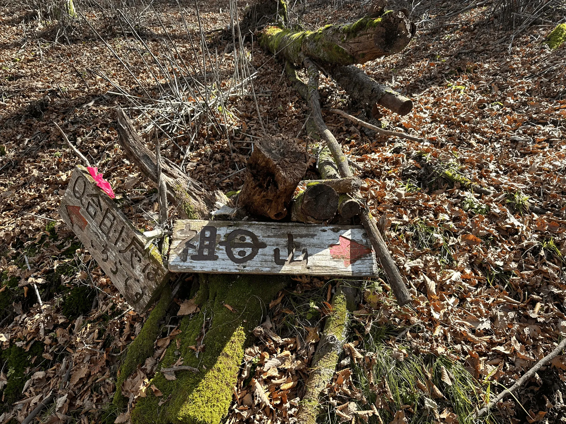
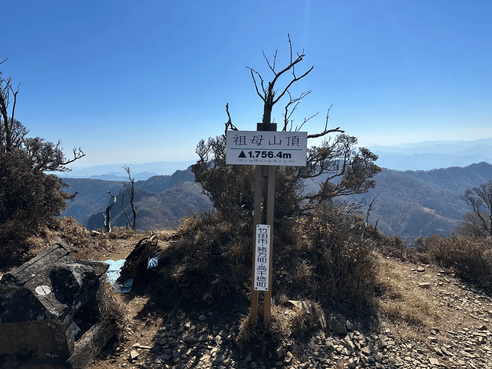
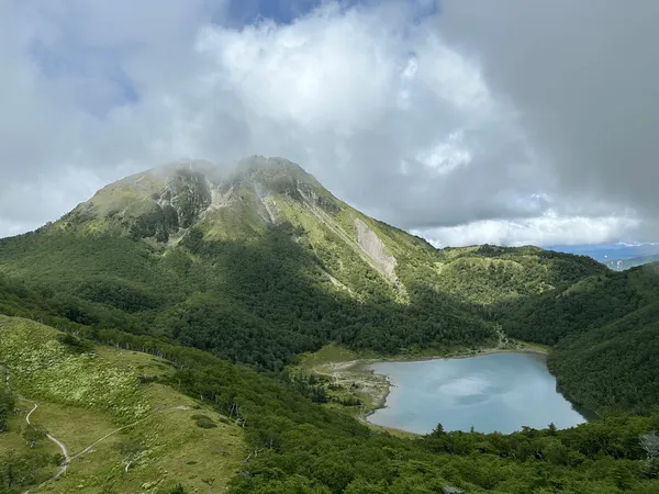
Once you reach the peak, you get panoramic views of the surrounding mountain ranges. You could even see Mt Kuju in the distance, which I was planning to hike the next day.
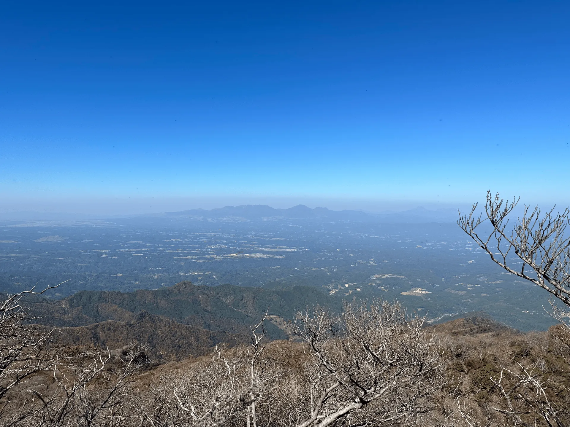
In terms of scenery, this is ndefinitely one of those hundred famous mountains where you’re not really sure why it is considered “famous”. Apparently though, in ancient legend the first Emperor of Japan prayed in the direction of this mountain when his ship was in danger of capsizing, and was saved. His grandmother is also said to be enshrined here, hence the name “sobo” which means grandmother in Japanese.
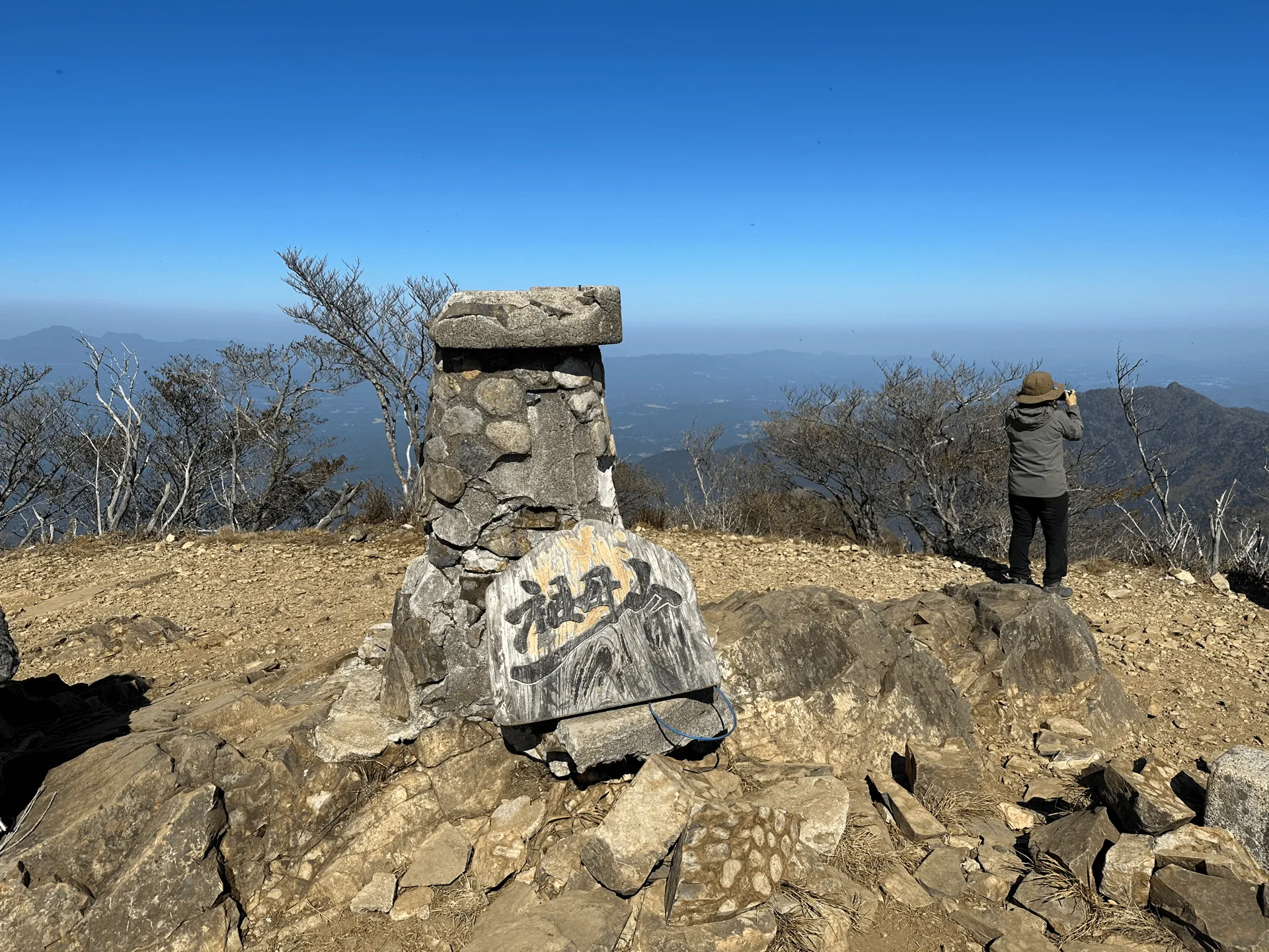
Speaking of grandmas, one memorable moment from this hike was when a group of old ladies befriended me for part of the descent down. Japanese people generally keep to themselves, but I find that in the mountains everyone is a little bit more friendly, and it’s one of the many reasons I really have come to love hiking.
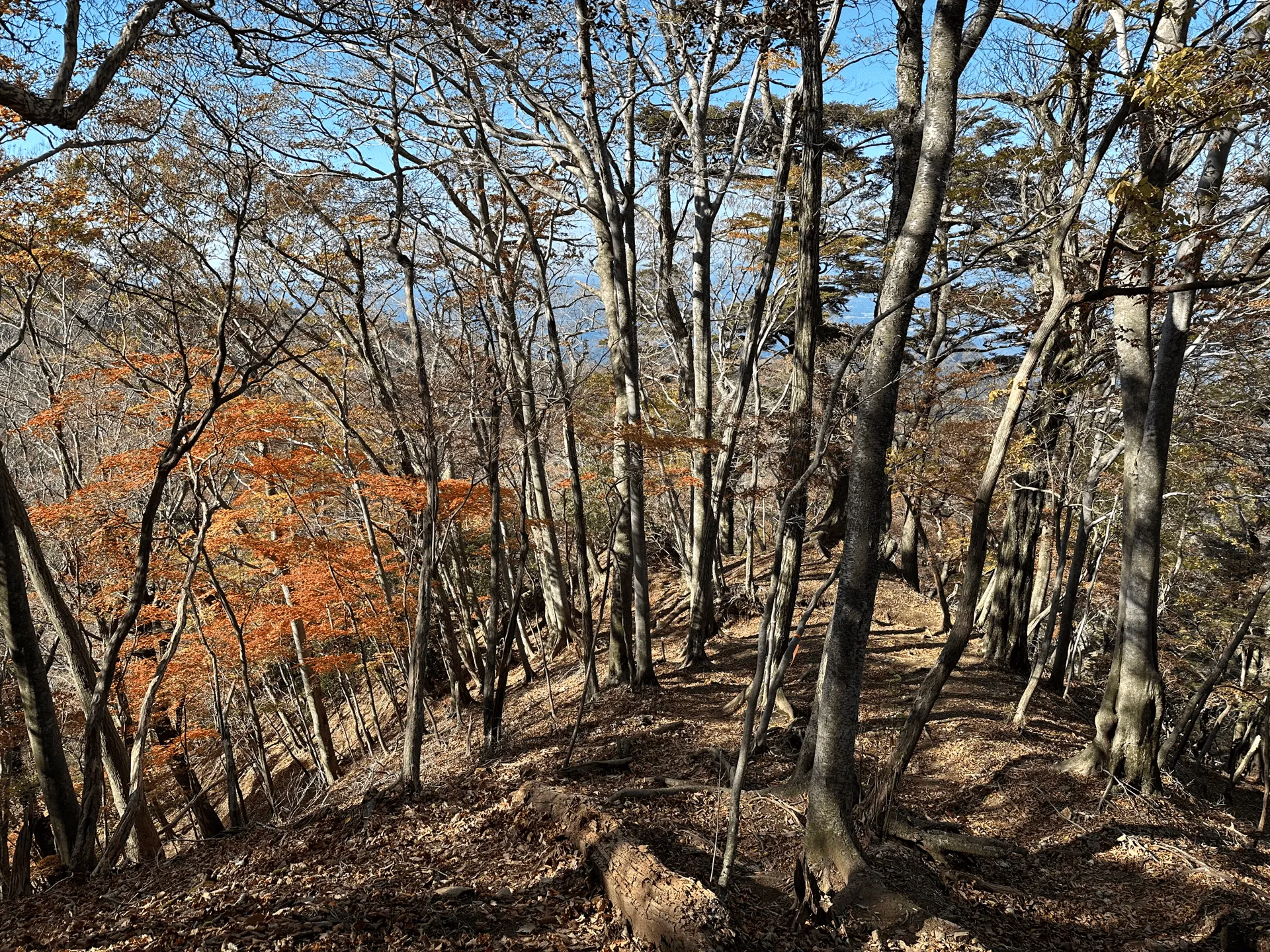
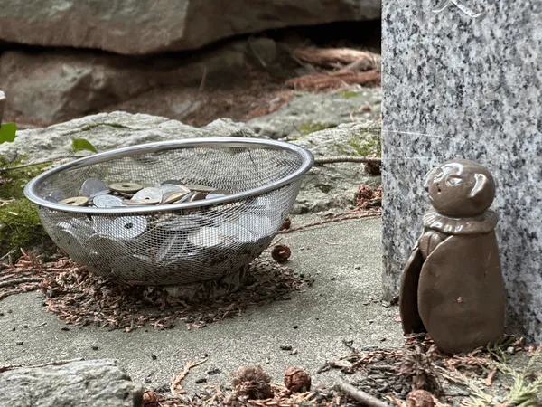
Near the start of the trail, there is a little counter you can press when you walk by, and it looks like they use it to see the number of hikers that climb Mt Sobo from that specific trailhead each month.

The community buses to get back to Bungo-taketa station were at 15:30 and 17:30, and I had reserved the 17:30 one since I wasn’t sure if I would make it back in time for 15:30. I ended up finishing quite early and it got pretty cold waiting for the bus. Since it is a reservation-based system, and there were only two of us getting on the bus that day, when the bus showed up at 17:00 we were able to get on and leave straight away which was quite handy.
Before heading back to Beppu, one of Oita’s speciality dishes that I wanted to try was tori-ten (とり天) so I found a restaurant at Bungo-Taketa called Taketa Marufuku (竹田丸福). Tori-ten is like a mix between tempura and fried karaage chicken, and if I’m being honest, I would prefer to just eat one or the other and not this in-between thing. But dinner after a hike tastes good no matter what it is!!
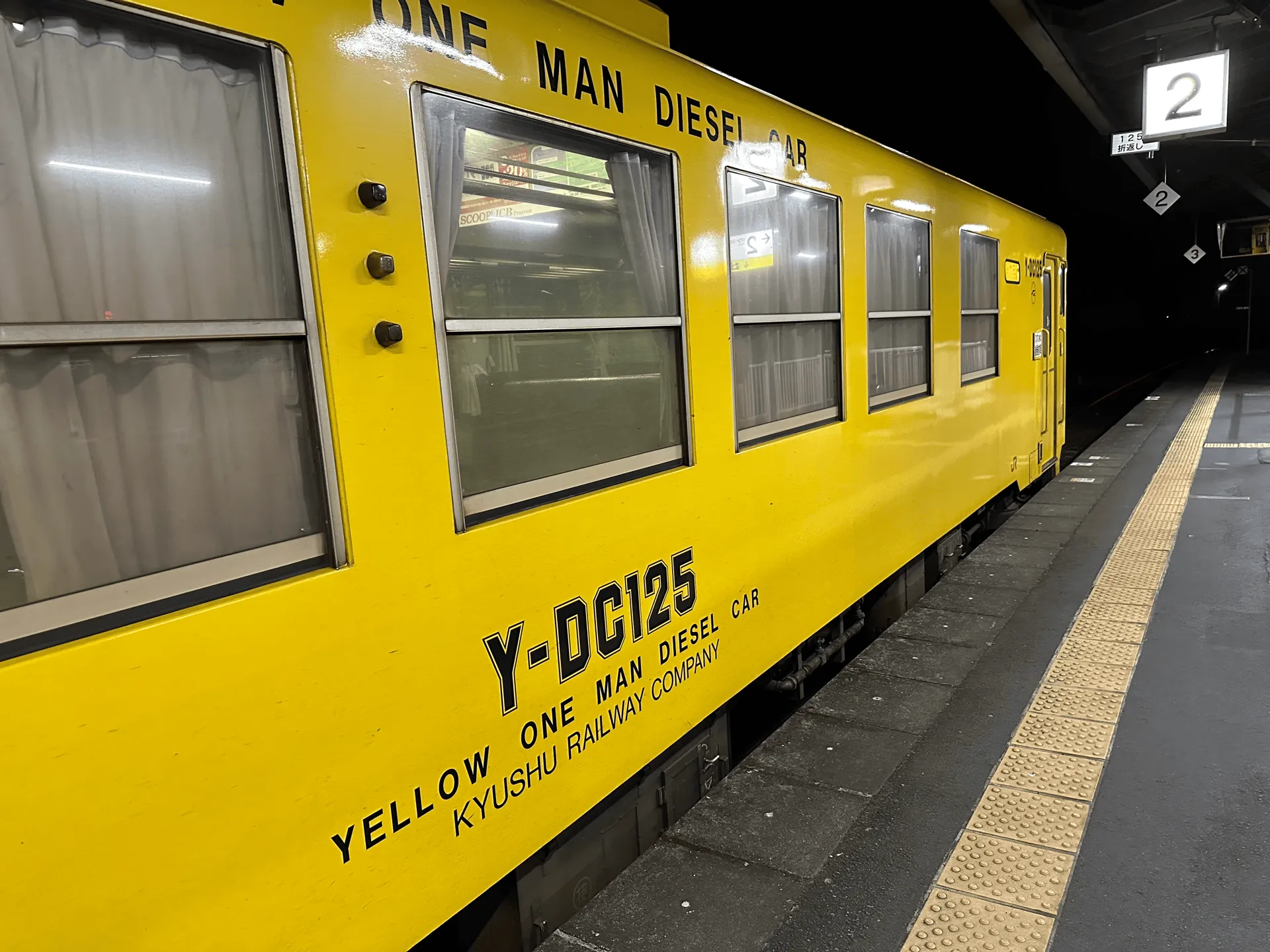
After that, it was back on the local train to Beppu station, and with the aim of getting plenty of rest before my hike next day to Mt Kuju.
Hiking course details
| Date climbed | Length | Course time |
|---|---|---|
| 2023-11-02 | 7.7km | 6h42min (the expected time for an average hiker without breaks) |
I took an out-and-back course starting at Kamihara-tozanguchi (神原登山口).
The official course assumes you start at the trailhead, but from the bus stop to the trailhead it is an additional 45minutes and 3.5km.
There are toilets available at the trailhead, a further one up at the fifth station, and apparently one available in emergencies at the ninth station as well.
There is also a weekend-only bus route from Ogata station (緒方駅) that will take you to a different trailhead at Obira-kouzan (尾平鉱山). I don’t think this one requires you to book the bus in advance, so maybe a good alternative if you don’t want to call in Japanese or are climbing on the weekend.
Public transportation access with example schedule
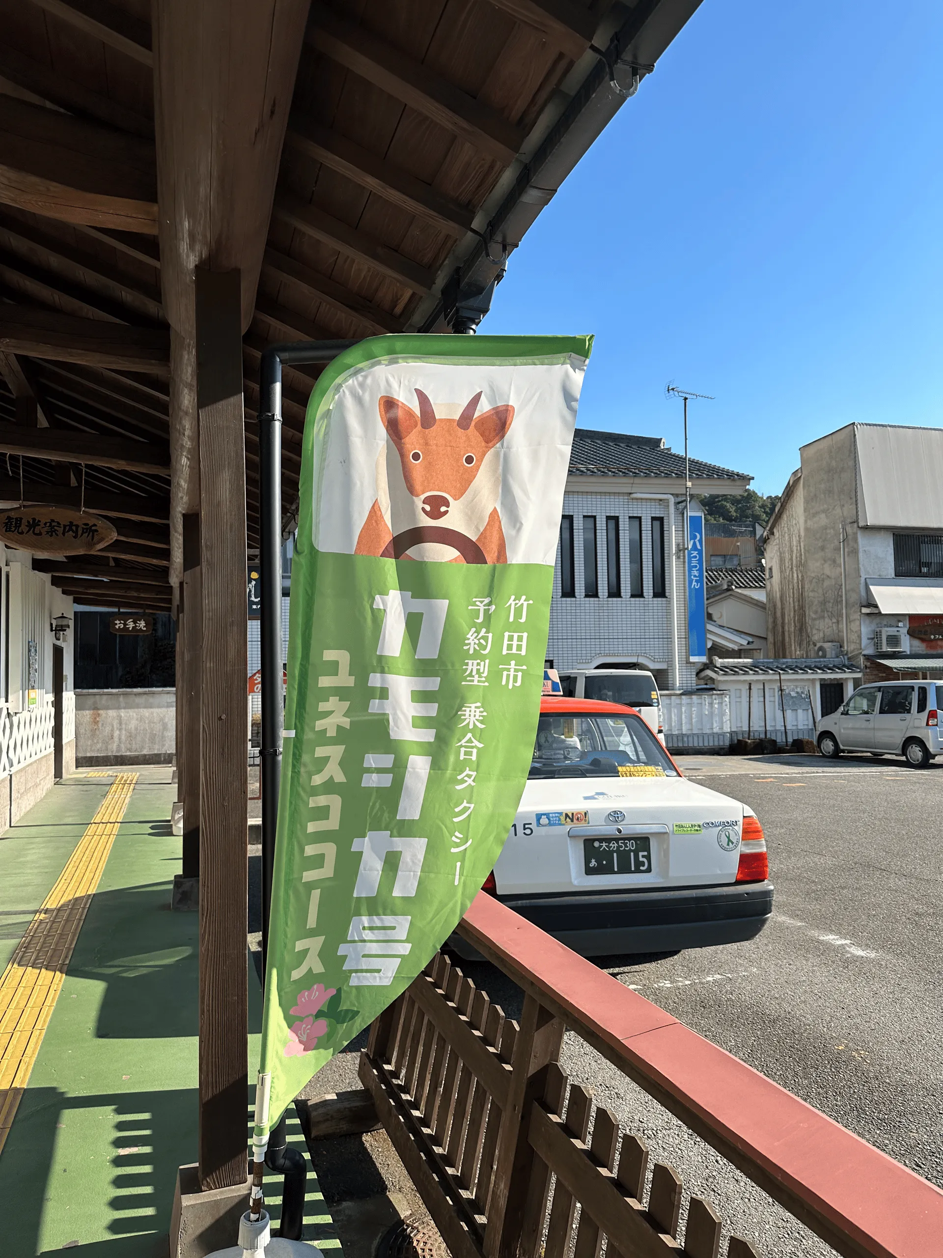
There is a Kamoshika-go (カモシカ号) community bus which can take you to the Kamihara-tozanguchi (神原登山口) trail entrance from Bungo-taketa station (豊後竹田駅). This bus runs twice a day in the morning from Bungo-taketa station at 07:00 and 09:15, on every day except Sunday. You need to reserve a spot by calling them up in Japanese.
| Time | Location | Transport | Cost | Notes |
|---|---|---|---|---|
| 06:43 | 別府 (Beppu) | Local train | 1500 | Cash only |
| 08:35 | 豊後竹田 (Bungo-taketa) | |||
| 09:15 | 豊後竹田 | Community bus | 1020 | Pay in cash when you get off the bus |
| 09:40 | 神原登山口 (Kamihara-tozanguchi) |
If you get a train from Oita to Bungo-taketa, you will need to buy a paper ticket as the station doesn’t support IC cards. If you do use IC (like I did), you will have to pay 1500 when you reach Bungo-taketa and you’ll receive a receipt to go refund your IC card back at Beppu or Oita station since they can’t do it for you on the spot.
| Time | Location | Transport | Cost | |
|---|---|---|---|---|
| 17:30 | 神原登山口 | Community bus | 1020 | |
| 18:00 | 豊後竹田 | |||
| 18:08 | 豊後竹田 | Train | 1500 | |
| 19:35 | 別府 | |||
| Trip total: | 5040 |
From Beppu, I could only make it in time for the 09:15 community bus, so if you want an early start I’d recommend finding a hotel at Bungo-taketa station. Although it is an inaka town and I don’t think there are any early-morning convenience stores available so you will have to work out your food in advance.
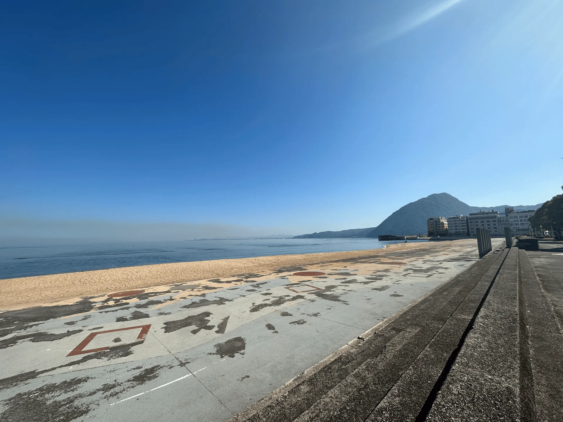
Before going back and sleeping at my hotel, I wanted to find an onsen to relax in. Beppu is known for being an onsen town, although unfortunately it seems like most of the onsens aren’t actually that close to the station and require a bit more travel. I did find a tiny local one called Kaimonji Onsen (海門寺温泉).
I’m pretty used to onsens closer to Tokyo, but it seemed like the customs of the ones in Beppu were a little different. For one, the onsen was supposedly separated into “lukewarm” and “warm” baths, but in reality it was actually more like “hot” and “super hot”. Apparently the hot ones get to about 44 or 45 degrees!
The other thing that surprised me was that instead of using a shower head, locals sit by the edge of the onsen water, lather themselves in soap and rinse off by scooping up water from the onsen with a bowl. I was really confused at first when I saw someone doing this, but it all made sense when I googled it later.
Leave a comment