
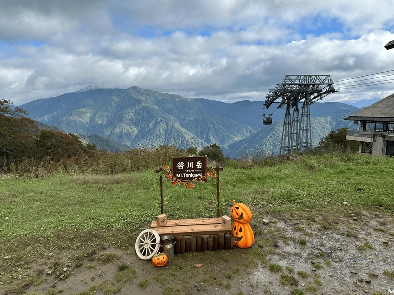
- Elevation 1977m
- When to climb
Mountain stats
Mt Tanigawa (谷川岳, tanigawa-dake) has been on my list of 100 Famous Mountains for a while now, but is especially famous for its autumn leaves, and so I timed my hike for mid-October in an attempts to catch them in action. The mountain is directly accessible via train, which makes it very convenient for public transport users, or is a 3 hour drive from Tokyo.
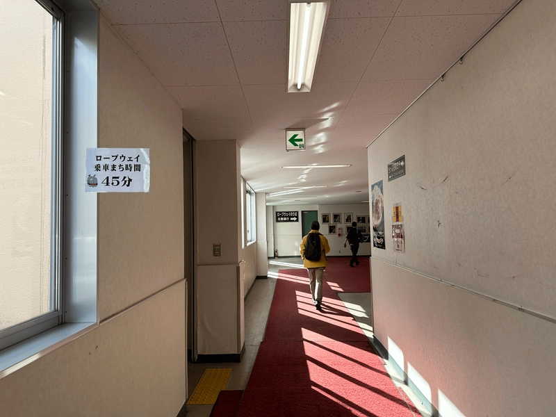
I visited on a Friday in an attempts to beat the crowds. I didn’t have to line up, but as I walked along the corridors to its ropeway, I could see wait-time markers on the walls, so I expect it gets very popular on the weekends, especially during autumn.
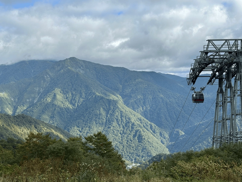
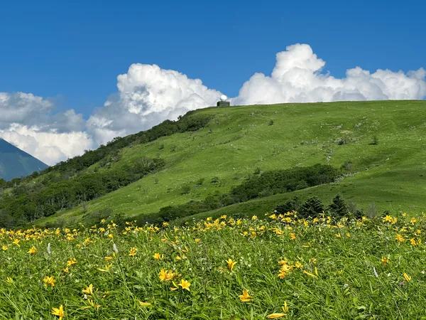
The 15-minute ride up the ropeway can provide spectacular views of the changing autumn leaves, but I had come a bit too early for that. Since the changing colours of the leaves are triggered by temperature, it’s common to see autumn leaves at the summit of a mountain, while the bottom is still green, which was the case today.
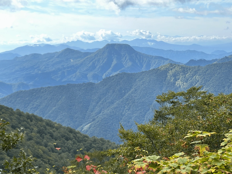
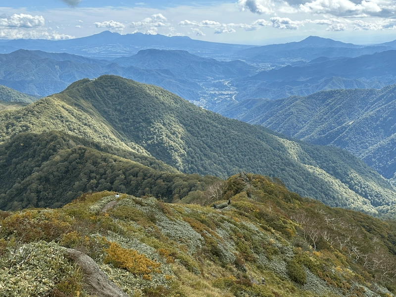
As I climbed, I could see out towards distant mountains like Mt Kobushi and Mt Mizugaki.
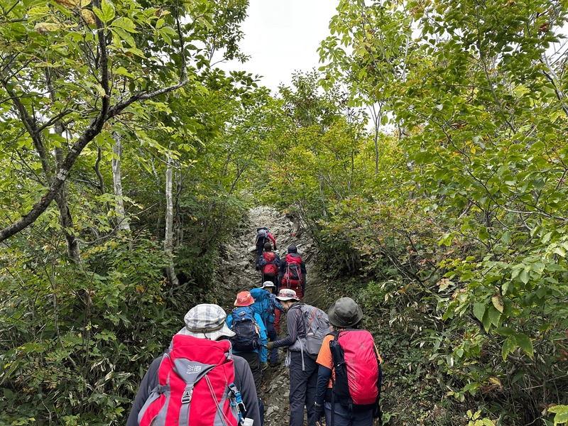
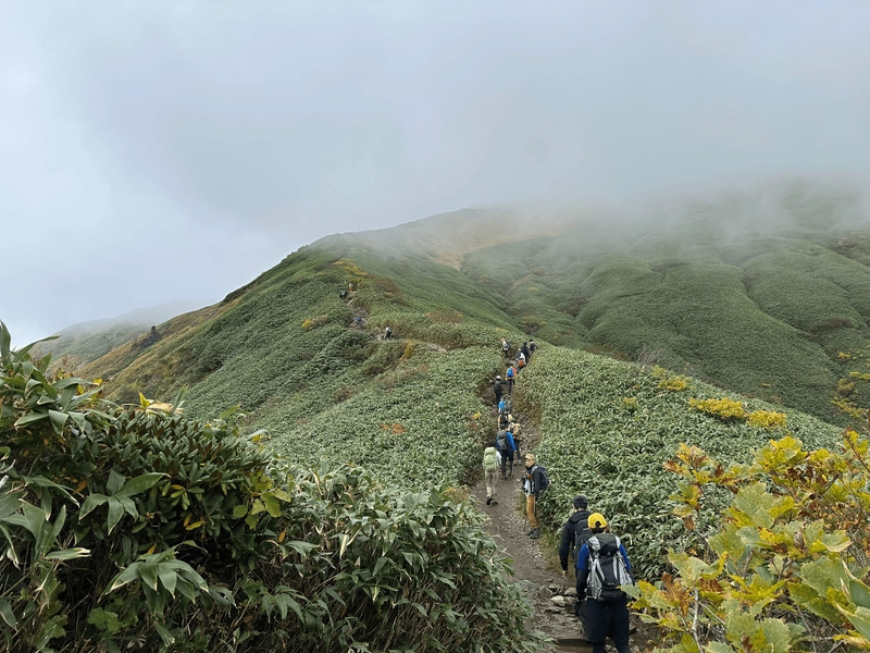
Even though it was a Friday, it still felt like a regular mountain in terms of the number of people climbing, which made me scared to think what it would be like on the weekends. I had another friend that climbed the following day, and apparently the trail was very, very crowded, to the point where there were human traffic jams on the trail and she ended up missing the original bus home she planned on taking.
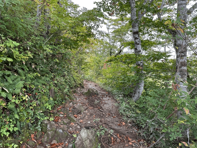
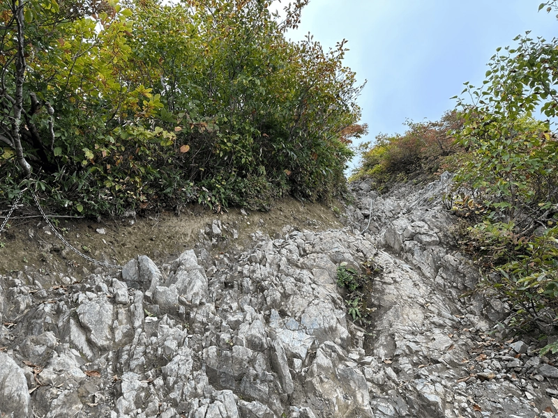
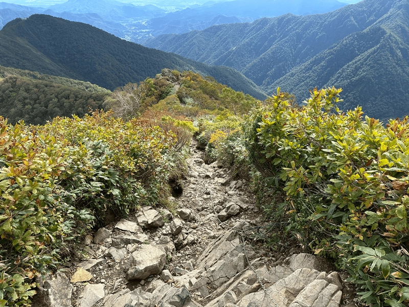
The trail starts off with a combination of stairs and dirt path, before coming to a rather rocky bit in the middle. There are chains, and the rocks aren’t at too steep of an incline, so as long as you take it carefully I don’t think you’ll have any issues. There was a little bit of congestion here on the climb up, as you would have to stop to let people climb one-by-one. These probably doesn’t help with the congestion on the weekends!
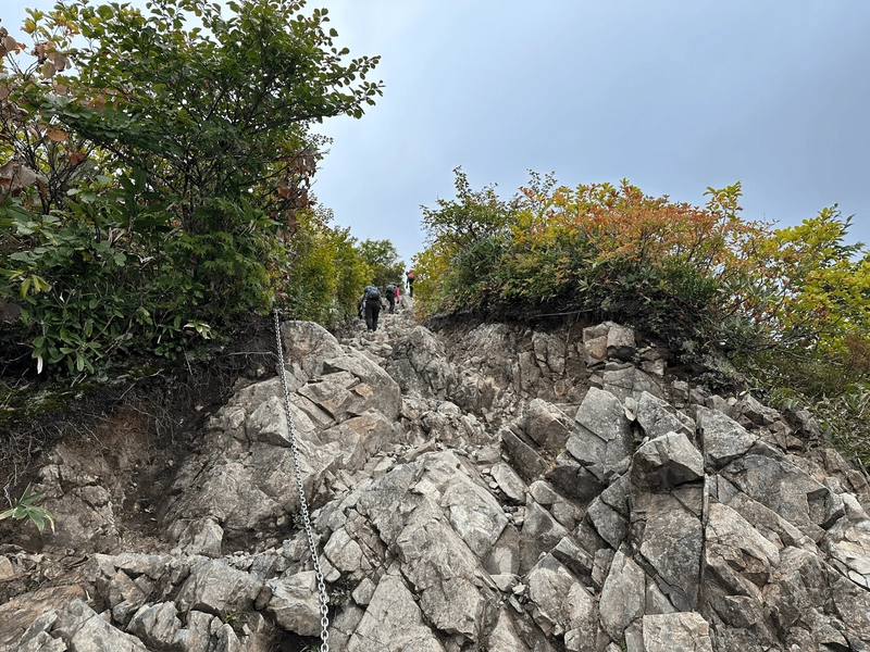
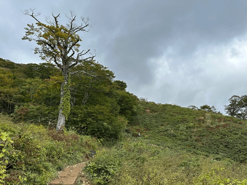
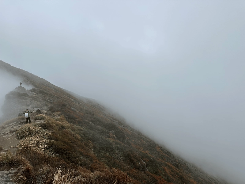
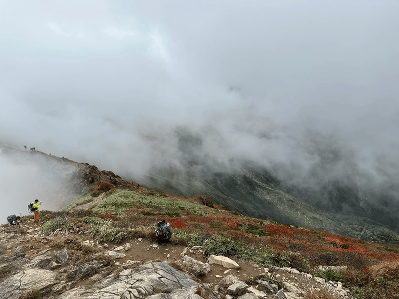
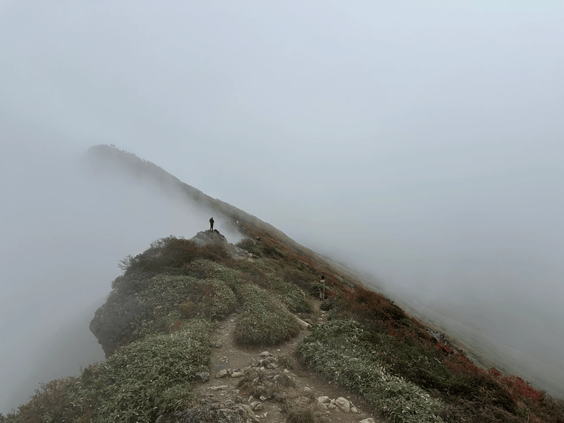
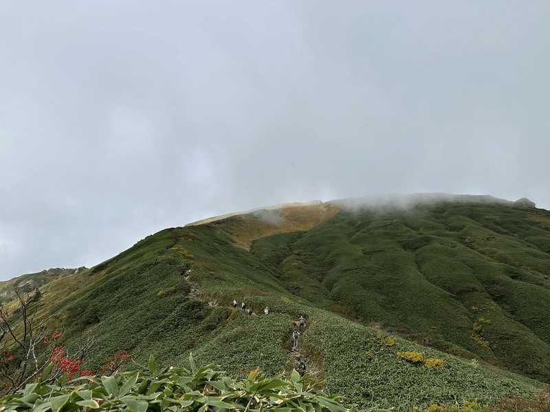
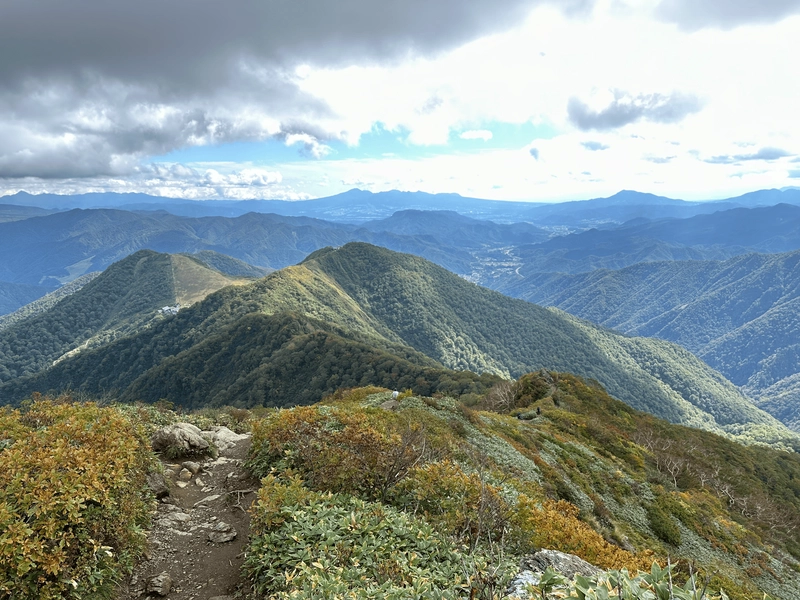
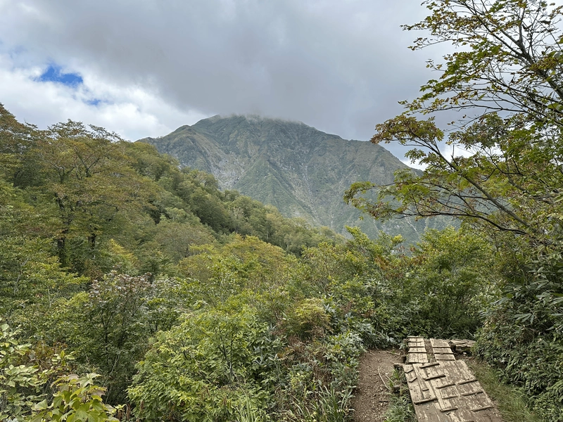
Once I passed the rocky section, it was back to regular trail up. At this point you are out from amongst the trees, so it’s an opportunity to get some great views of the ridgeline and surrounding mountains. Alas, there was fog.
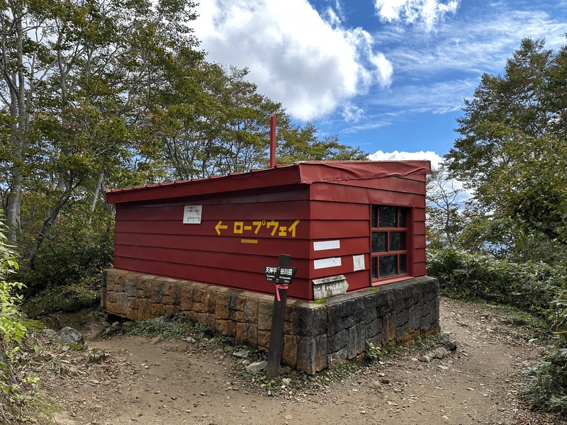
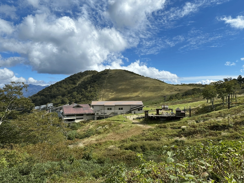
After a little over 2 hours of climbing, you’ll come to the Kata-no-koya (肩ノ小屋) mountain hut. Plenty of people were here taking a quick break.
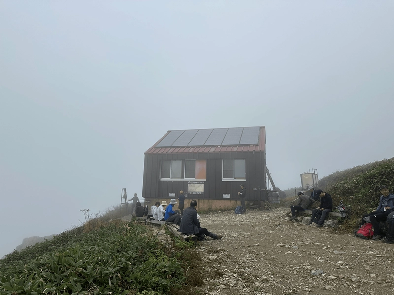
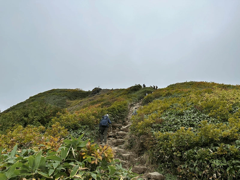
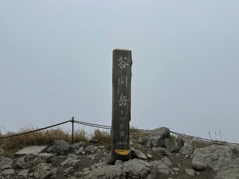
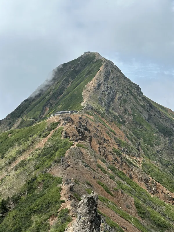
From the hut, the first peak of Mt Tanigawa, Toma-no-mi (トマの耳) is quite close by.
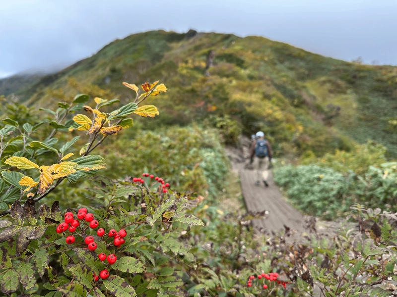
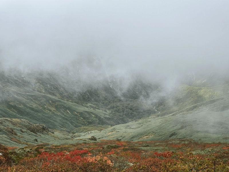
Even with the fog, you could see that the autumn leaves at the summit were in full bloom, and they nicely contrasted with the greens of the valley below.
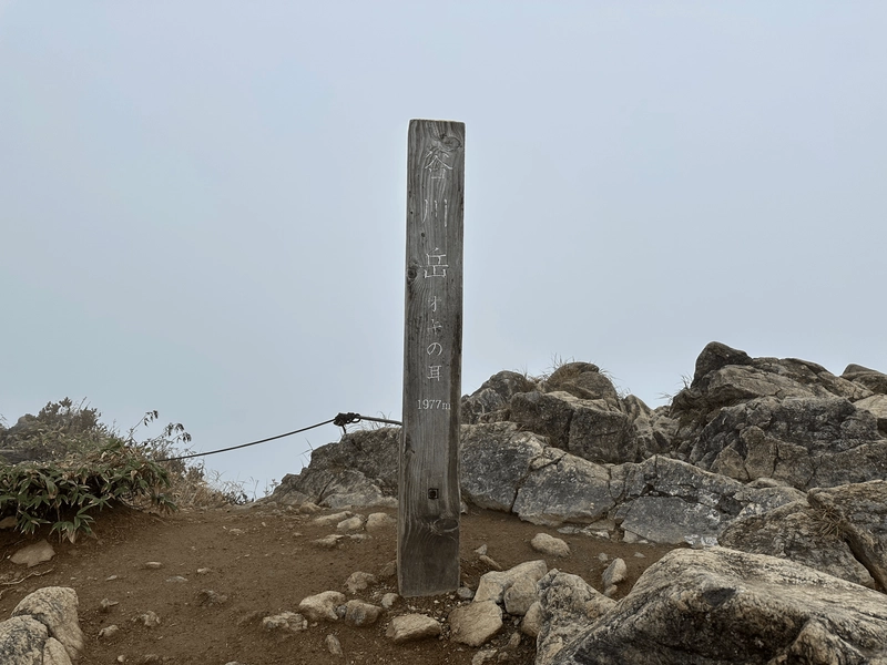
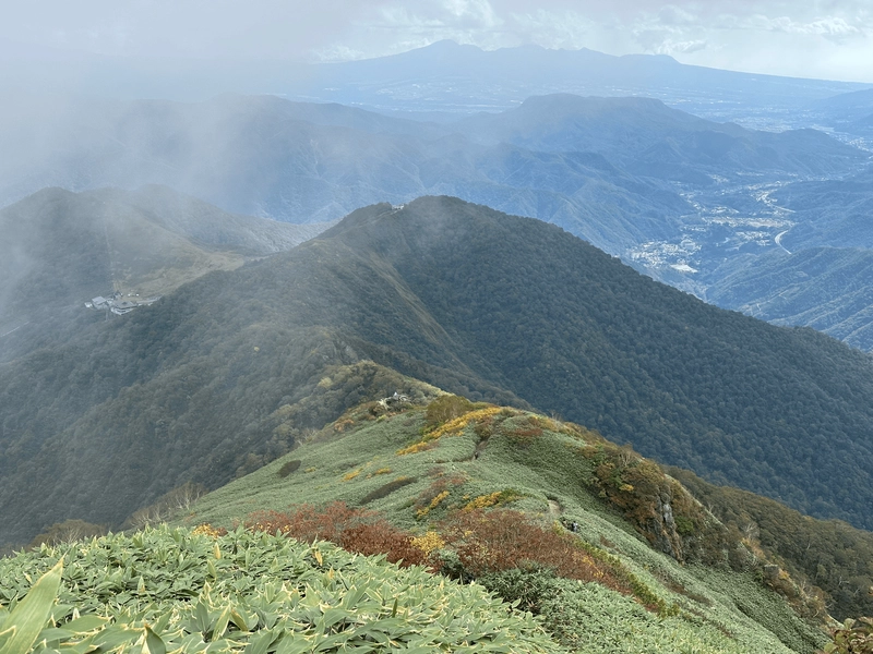
After another 15 minutes, I reached the second peak of Mt Tanigawa, Oki-no-mi (オキの耳). This one is slightly higher at an elevation of 1977m, and is the highest point on Mt Tanigawa. The origin behind their names is that “mi” means “ear”, and so the two peaks are named as the “forward ear” and “rear ear”.
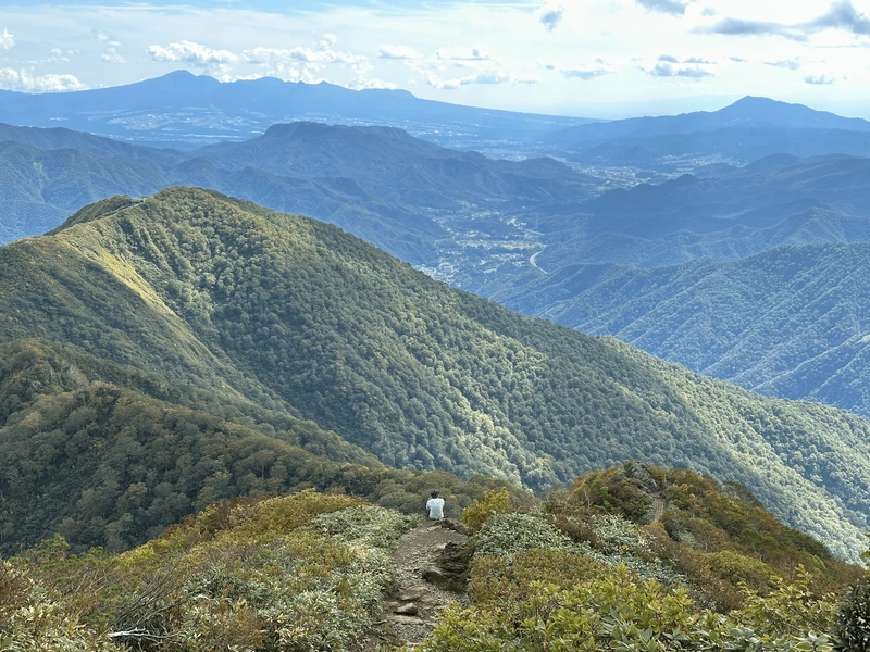
From here, if you keep along the trail for a little bit, there are apparently some great photo spots if you wanted to get a shot of the ridgeline with all their autumn colours. Otherwise, it’s time to go back the same way you climbed up.
I had plenty of time, and so I did stick around for a bit at Oki-no-mi in the hopes of the fog clearing up a bit. I wasn’t the only person with this idea, and there were plenty of us loitering around hoping to catch the full glory of the autumn leaves. Unfortunately, it was not to be, so after a while I began my descent.
At one point, the fog did partially clear for a couple of minutes, and everybody frantically started taking photos.
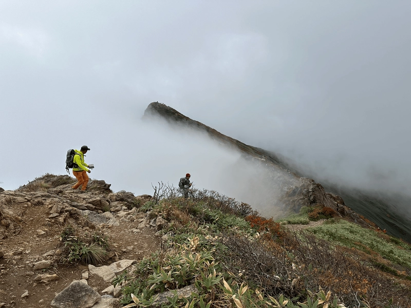
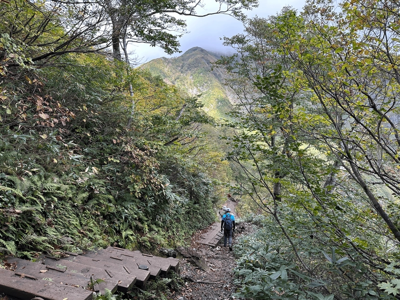
Once you pass by the Toma-no-mi peak and the mountain hut, you’ll start your descent.
As I passed the rocks and approached the final part of the descent, I also passed by Kumaanazawa Refuge hut (熊穴沢避難小屋, kumaanazawa-hinangoya)
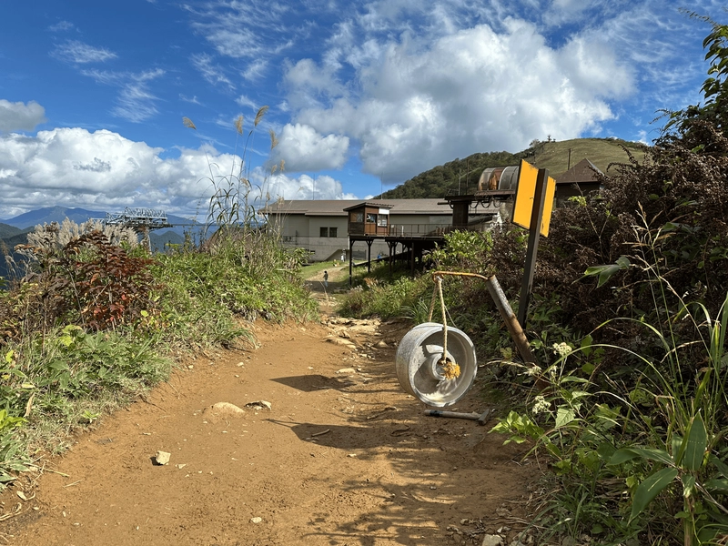
From here it was smooth sailing back to the ropeway station. As I looked back towards the peak of Mt Tanigawa, the fog had cleared a bit and so I could nearly see the tip of it.
I came to see the autumn leaves at Mt Tanigawa, and I will say that I wasn’t quite satisfied with the outcome, so I’m definitely going to come again. This time, I did take the most direct course up, but it is also possible to skip the ropeway on the way up for a longer climb, and then descend via the ropeway, so I may give that course a go next time!
Hiking course details
| Date climbed | Length | Course time |
|---|---|---|
| 2024-10-11 | 6.4km | 4h50min (the expected time for an average hiker without breaks) |
The standard course has just under 900m of elevation gain. For the more adventurous, there is a course with over 1400m of elevation gain that takes about 6 hours. This is a very steep climb, with some rock faces as well, and so is not your typical beginner-friendly course. I would recommend researching it a little bit before you go, so you are not caught by surprise.
Best time to climb Mt Tanigawa, and how to see the autumn leaves
Mt Tanigawa is climbable without snow between mid-April and the beginning of November, according to the site mononayama, although there may still be some lingering snow in April and May. The Tanigawadake Ropeway also has its “green season” operating hours neatly lining up with this, with it operating from late April to mid-November. Of course, this will vary year-on-year, so I recommend checking YAMAP for the latest on the conditions before you go.
The best time to view the autumn leaves at the peak of Mt Tanigawa is on average at the beginning of October. However since the timing of the leaves will always vary, I recommend Googling the phrase “谷川岳紅葉見頃” or checking out a site like Walkerplus to see the latest updates. The best time to see the autumn leaves at the ropeway station is on average in mid to late October - so I think as long as you climb in October, you should be able to catch the foliage at some point on your hike.
Also please be aware that October and autumn leaves season is a very popular time for hiking in Japan, especially on the public holiday weekends, of which there are two in October. Mt Tanigawa is also especially famous for its autumn leaves, and gets very, very crowded.
If you are not a fan of large crowds, I would definitely recommend skipping the weekends in October, and going on a weekday if possible.
Another thing to note is that Mt Tanigawa is also a popular mountain for snow hiking. The ropeway reopens as a ski resort in late December, and can also be used to hike Mt Tanigawa.
Public transportation access
The nearest train station to the Tanigawadake Ropeway is Doai station (土合駅). You can get here via a Shinkansen and transfer to a local train, which will take 2 hours from Tokyo and cost 7000 yen. Alternatively, to save a bit of cash, you can take local trains, in which case it will take you closer to 4 hours and cost 4000 yen.
The earliest you will be able to reach Doai station is 8:38am. Doai Station is a notable spot in itself, as it is at a depth of 70m, and it is the deepest train station in Japan! Please note that when coming from Tokyo, it will take you up to 20 minutes to climb the 486 stairs from the train platform to the ground level. From here, it is another 20 minutes walk to the ropeway station.
Factoring in a bit of wait time and the 15 minute ride up the ropeway, you should be able to start your hike before 10am. Since the course is just under 5 hours, this should be a decent amount of time to finish before it gets dark.
The train platform for heading back to Tokyo is at ground-level, so you won’t have to walk as far on the way back.
Car access details
| Car park | Time (from Tokyo) | Round trip cost |
|---|---|---|
| Tanigawadake Ropeway (谷川岳ロープウェイ) | 3h | ~13500 yen |
The carpark is directly beneath the ropeway station and costs 500 yen. The ropeway opens at 8am on weekdays and 7am on weekends. As I noted in the above public transport section, people coming via Shinkansen from Tokyo will arrive at the ropeway sometime after 9am at the earliest, so I would recommend getting on the ropeway before this if you can, to avoid any crowds.
Leave a comment