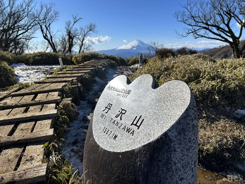
- Elevation 1567m
- When to climb April - May, October - December
- Shortest course is 18km or 10h. Can be done as a day trip from Tokyo for fast hikers with stamina, or with an overnight stay at the summit.
Mountain stats
2 hours from Tokyo. Take the Odakyu line to Shibusawa station, then a 15min local bus to the Okura trailhead.
There are car parks at the trailheads, but with Mt Tanzawa's popularity, I recommend taking public transport so you don't have to deal with finding a spot.
Mt Tanzawa (丹沢山, Tanzawa-san) is one of the mountains that make up the Tanzawa mountain range in Kanagawa. With a round-trip of 18km, the course to reach Mt Tanzawa is long, but still doable as a day hike for hikers with stamina. You can also opt to make it an overnight hike by staying at one of the huts, or shorten the hike by ending at Mt Tonodake (塔ノ岳, tono-dake), which you’ll pass along the way.
Mt Tanzawa is also a 100 Famous Mountain, and with good public transport access it’s one of the easier (and cheaper) mountains to check off your list. I climbed it as a day hike in December of 2022.
The course we took was an out-and-back course starting and ending at the Okura (大倉) bus stop, first passing Mt Tonodake, and then onwards to Mt Tanzawa, before turning around and coming back down the same way.
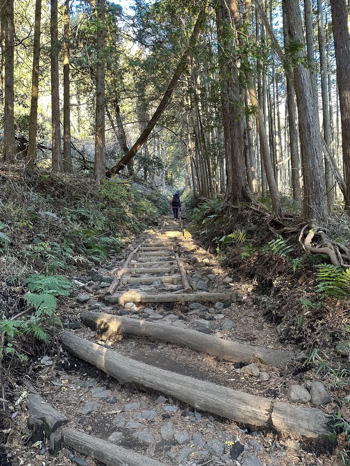
Affectionately called baka-one (バカ尾根 or “stupid ridge”) by hikers, the hike up towards Tonodake starts with a 3-hour climb of mostly stairs up Okura ridge. The first time I climbed it I told myself I would never climb it again, but I’ve done it four times at this point so it does grow on you!
Although the trail is steep, since it is mostly stairs, I would say this makes it a lot more walkable than other trails of this length that you can access from Tokyo. I think it makes for a really good training hike. It’s popular with locals, and you’ll always see a lot of people climbing, and sometimes even dogs too.
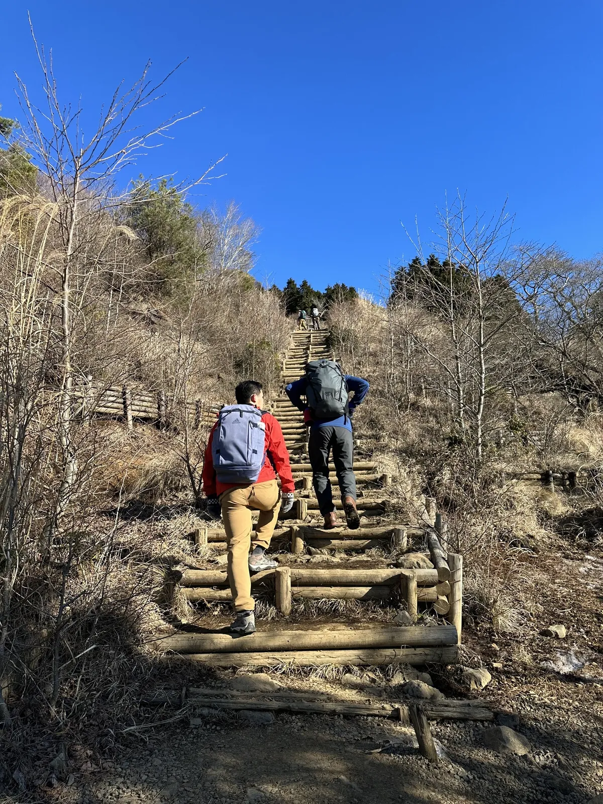
From part-way up, you start getting a clear view of Mt Fuji if the weather conditions are good. There’s a couple of spots to rest along the trail, with mountain huts offering drinks, snacks and toilet access as well.
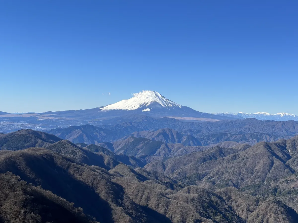
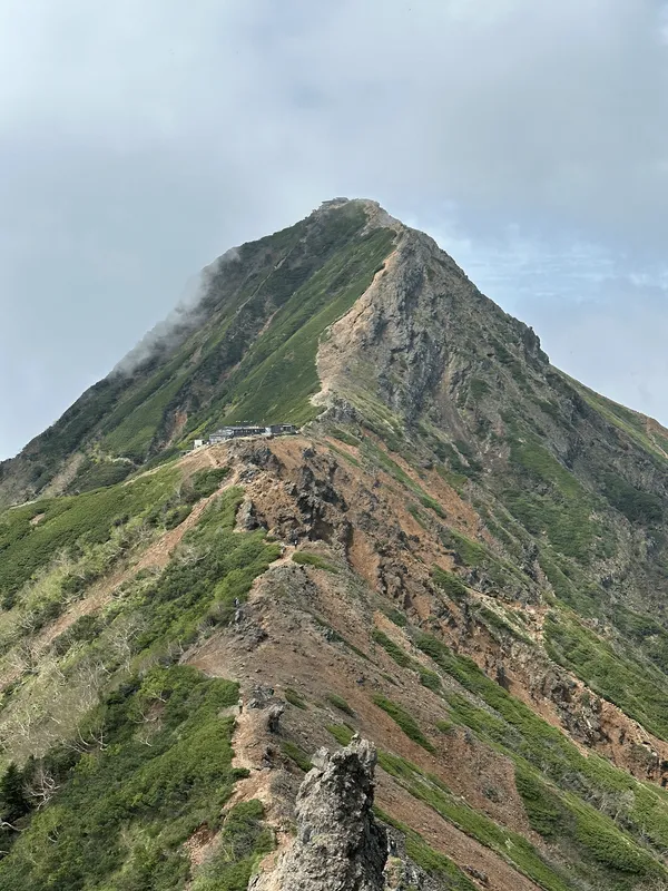
After a couple of hours, you will reach the peak of Mt Tonodake, which has an elevation of 1491m. At Tonodake, there is the Sonbutsu Sanso (尊仏山荘) mountain hut, where you can buy a hot coffee to warm you up, and a large area where you can rest and take in the views.
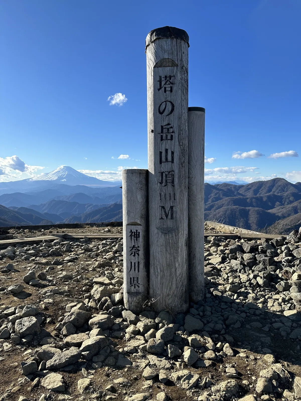
From here, you can continue the trail on towards Mt Tanzawa. If you’re planning on doing this as a day hike, It’s a good idea to check in with yourself here. Going to Mt Tanzawa and then coming back will add at least 2 - 3 hours to your hike, so make sure you have enough time to get there and back before it gets dark.
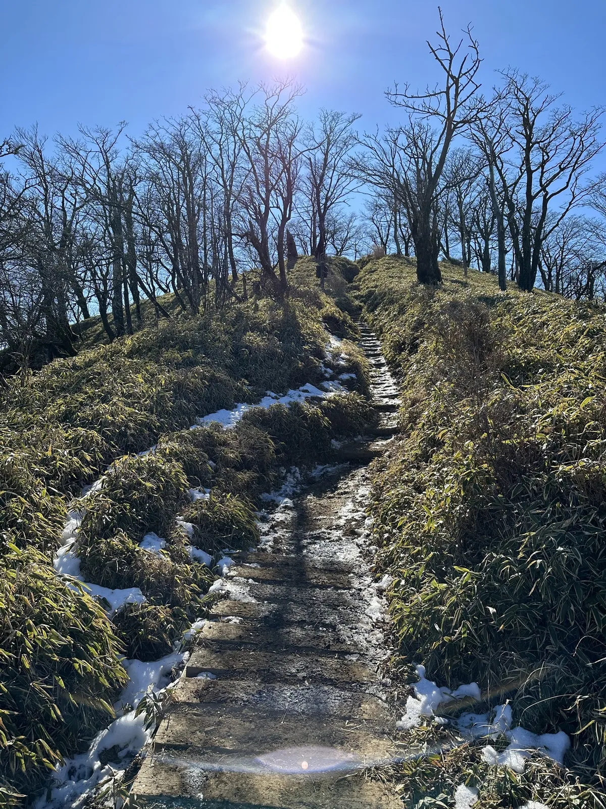
Although the trail up to Mt Tonodake is usually quite crowded, once you start heading towards Mt Tanzawa, the trail gets a lot quieter. It’s mostly along a ridgeline with some stairs and ups and downs. This is my favourite part of the trail, though! After another 90 minutes or so, we reached the peak of Mt Tanzawa, at 1567m of elevation.
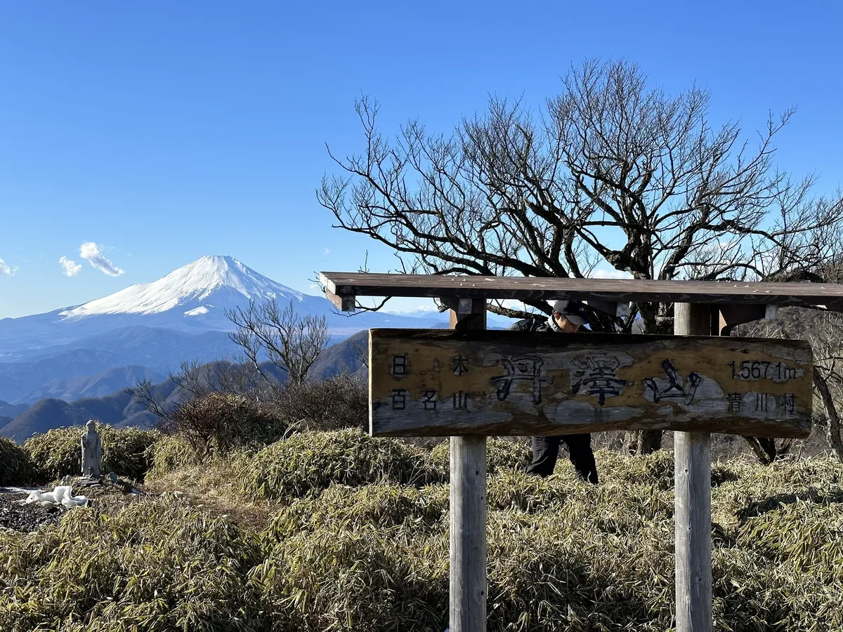
For the true masochist, there’s the option to continue on past Mt Tanzawa to Hiru-ga-dake (the highest peak in the Tanzawa mountain range). But this will bring your total hike distance to 24km so generally people split that course up into 2 days.
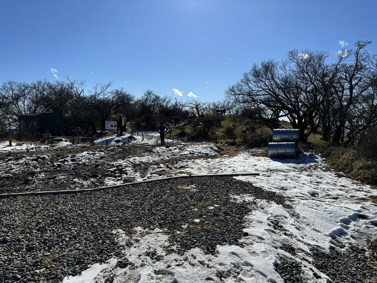
Once you take a break at the summit, it’s time to go back all the way you came. The stretch between Tonodake and Mt Tanzawa is the prettiest part of the hike so it’s fun to be able to enjoy it for a second time.
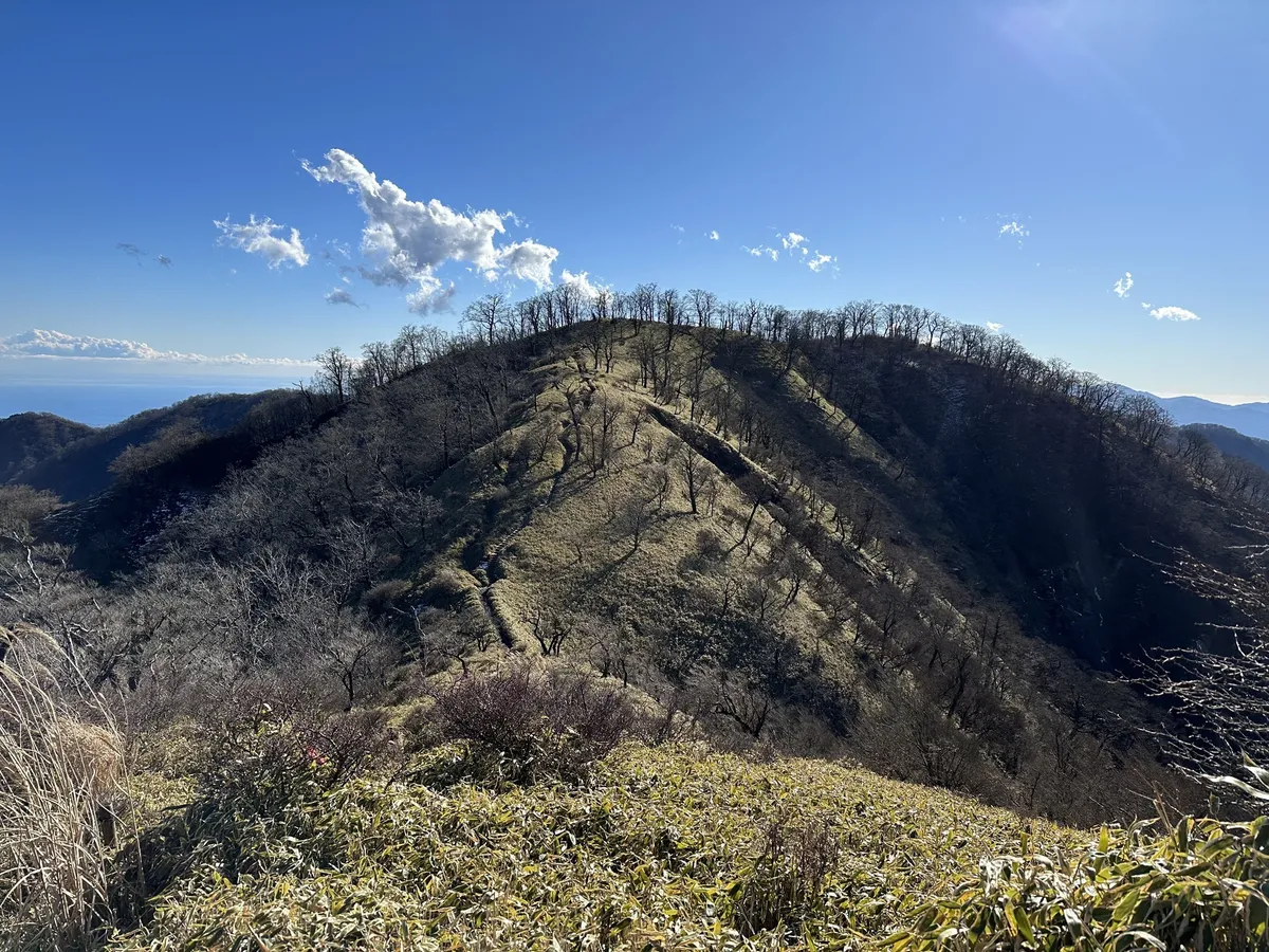
Once you make it back to Tonodake, then it’s onwards down all the stairs you climbed up in the morning. At this point, your knees are probably hurting.
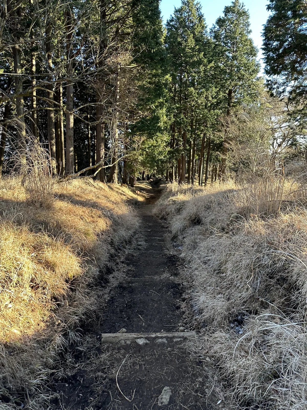
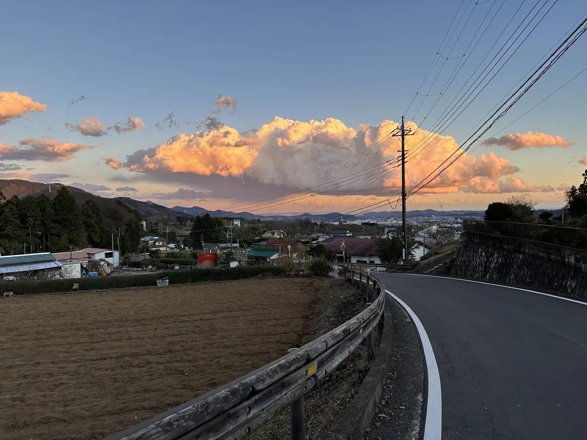
I’m usually quite conscious of safety on the trails, and try to finish my hikes reasonably early. With Tanzawa though, since there are usually a lot of people on the trail, and it is quite a well-maintained one, I do feel a bit more comfortable finishing a bit later. But of course I still always make sure to finish before dark!
Hiking course options
| Date climbed | Length | Course time |
|---|---|---|
| 2022-12-25 | 18.5km | 10h45m (the expected time for an average hiker without breaks) |
There are two main options for this course:
- An out-and-back course starting and ending at Okura bus stop. See hike on Alltrails.
- A point-to-point course starting at Yabitsu-toge bus stop, and ending at Okura bus stop
Both hikes are of a similar length at 18km, and will take you up to 10 hours. Although starting at different trailheads, you’ll end up at Mt Tono-dake for both, before making making the optional 2.5 hours hike out to Mt Tanzawa, and then back to Mt Tono-dake, before you come down the trail back towards Mt Okura.
Reaching Mt Tono-dake is a perfectly respectable day hike in itself, so if you reach this point and are feeling tired, it’s also a great spot to bail and head back down to the trailhead.
Alternatively, you can choose to spend the night at the mountain hut at Mt Tanzawa and head back down the next day.
Although I’ve never climbed via Yabitsu-toge, I’ve heard that the trail is more varied and interesting, so it’s probably a better option if you think you might get bored easily. But I do find that the endless stairs up from Okura grow on you!
Overall, although the trail is long, since there’s a lot of stairs and it’s very well-maintained it’s easier than it looks. Its easy access makes it a good training mountain too. If you’re looking for your first long day hike, I would definitely recommend Mt Tanzawa.
There are toilets available at both the bus stop, and at multiple points on the way up (probably the most toilets I’ve seen on a mountain, which speaks to how popular it is!)
Public transport access with itinerary
If you are hiking via the Okura trailhead, buses are available from the Odakyu line’s Shibusawa station in Kanagawa. There’s a bus timetable available here. If you get on the first train from Tokyo before 5am, you’ll be able to get to Shibusawa in time to catch the first bus that leaves at 6:48am.
| Time | Location | Transport | Cost | |
|---|---|---|---|---|
| 04:59 | Tokyo station (東京駅) | Train | 900 | |
| 06:39 | Shibusawa station (渋沢駅) | |||
| 06:48 | Shibusawa station north exit (渋沢駅北口) | Bus | 250 | |
| 07:03 | Okura bus stop (大倉) |
However note that since this bus route is so popular with hikers, you might not be able to get on the first bus, and you’ll have to line up for the next one. The next bus is at 07:02 so it’s not really a big deal if you miss one, though! If you’re really keen, make sure you get off the train from the carriage closest to the stairs to beat the rush of other hikers. Take a right out the ticket gates, and then down the stairs on your right to the bus stop.
Okura station is the last bus stop, and generally everyone gets off here so you shouldn’t have any problems with missing the stop.
For the return trip, there are buses every 20 to 30mins until 8pm, so I don’t usually aim to catch a specific bus home, I just get whatever comes next.
| Time | Location | Transport | Cost | |
|---|---|---|---|---|
| 16:38 | Okura bus stop (大倉) | Bus | 250 | |
| 16:53 | Shibusawa station north exit (渋沢駅北口) | |||
| 17:13 | Shibusawa station (渋沢駅) | Train | 900 | |
| 18:44 | Tokyo station (東京駅) | |||
| Trip total: | 2300 |
Alternatively, if you are hiking via the Yabitsu-toge trailhead, buses are available from Hadano (秦野) station, the train station previous to Shibusawa station on the Odakyu line. The first bus from Hadano leaves at 07:20, and gets you to the Yabitsu-toge (ヤビツ峠) bus stop at 8:08.
I suppose the one downside of this route is that you will nearly an hour’s delayed start, compared to climbing from the Okura trailhead, so I would also keep that in mind.
Staying over night at a mountain hut
There are two mountain huts you can stay at along the trail:
- At the peak of Mt Tonodake, there is Sonbutsu Sanso (尊仏山荘)
- At the peak of Mt Tanzawa, there is Miyama Sanso (みやま山荘)
Both require reservations to be booked (in Japanese) over the phone.
When to hike Mt Tanzawa
The Tanzawa mountain range is notorious for its leeches (ヤマビル or “yama-biru”) in summer, so I wouldn’t recommend coming here during the summer months. Since it only has a maximum elevation of 1500m, it will be quite hot anyway, so I recommend finding higher elevation mountains to climb during summer if you can.
The best time to climb Mt Tanzawa is as it starts to get colder, like in October or November. You can enjoy the autumn leaves, and the chances of Mt Fuji being visible increase in the colder months. There was a tiny bit of snow when we hiked at the end of December, but nothing that would require any special equipment.
By January the likelihood of snow increases, and there definitely be snow in February/March, before it all starts to melt in April. So you will have another opportunity to climb Mt Tanzawa in April - May, before the heat sets in!
I recommend checking YAMAP to see the conditions before you climb.
Comments
Leave a comment