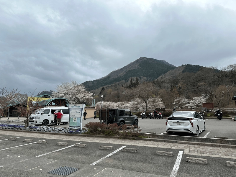
Mt Tonnomune (とんのむねやま, Tonnomune-yama) is one of the 100 Famous Mountains of Yamanashi. Tonnomune has funny name which can be translated as “chicken breast mountain”. I’m not too sure why it’s named that!
The peak is visible from the carpark as you start your hike, and although the sakura trees had already started to lose their petals in Tokyo they were still in full bloom here in Yamanashi.
The peak can be easily accessed as a 5km out-and-back course, but I wanted to opt for a longer hike so I did the more strenuous 14km loop course instead.

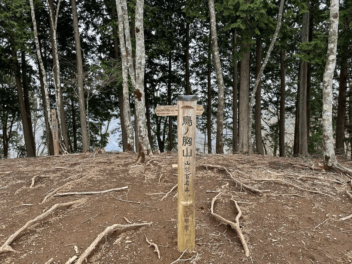
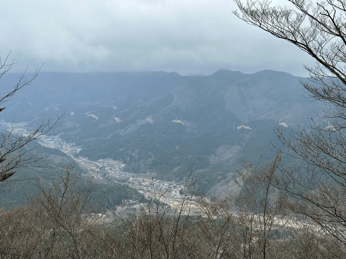
Within 90 minutes of beginning my hike, I already reached the peak of the mountain. Mt Tonnomune is also a part of the 36 views of Mt Fuji series but due to the overcast weather I unfortunately wasn’t able to get a glimpse.
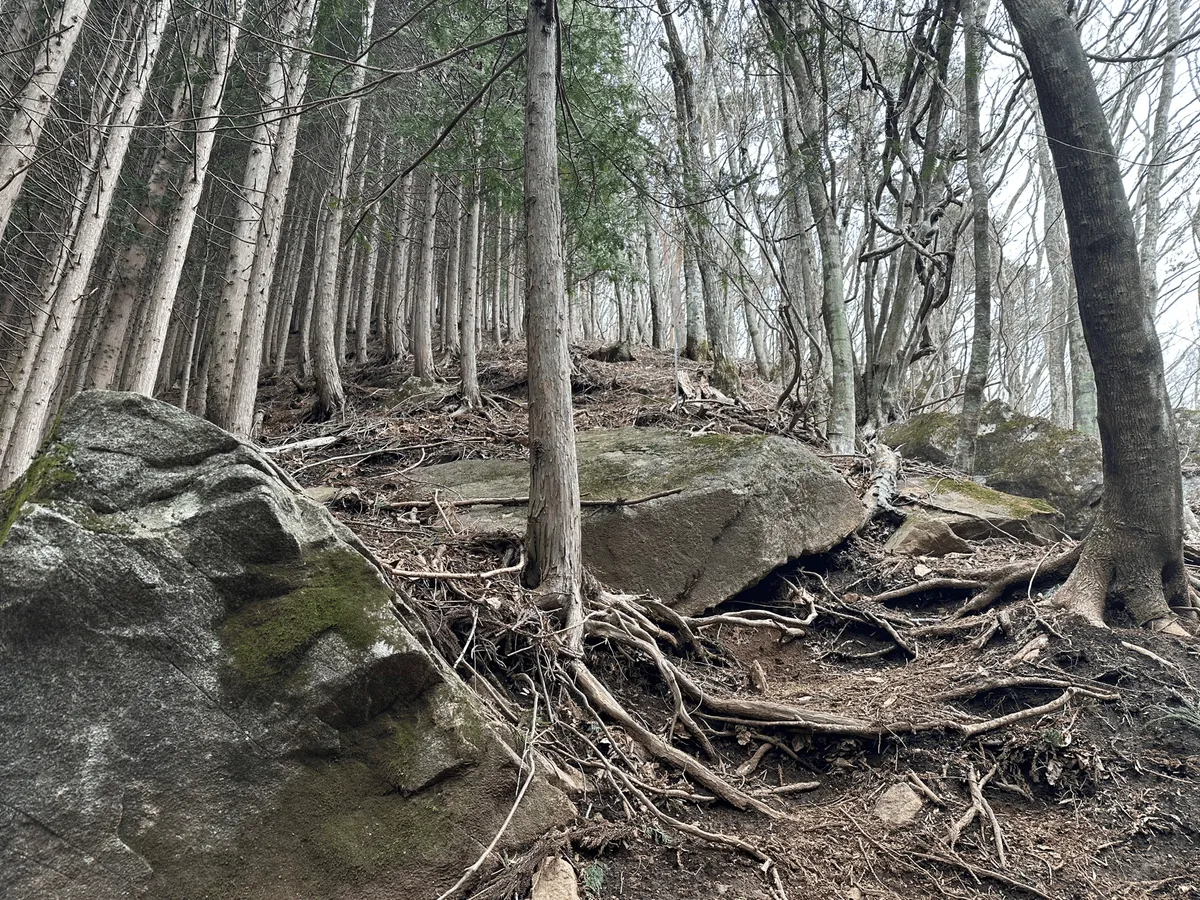
From here it was onwards to a couple more minor peaks, Mt Hirazu (平指山) and Mt Daikaigi (大界木山). The path was quite root-y, and had one part in particularly that was particlarly hard to traverse. Not the easiest trail I’ve walked along!

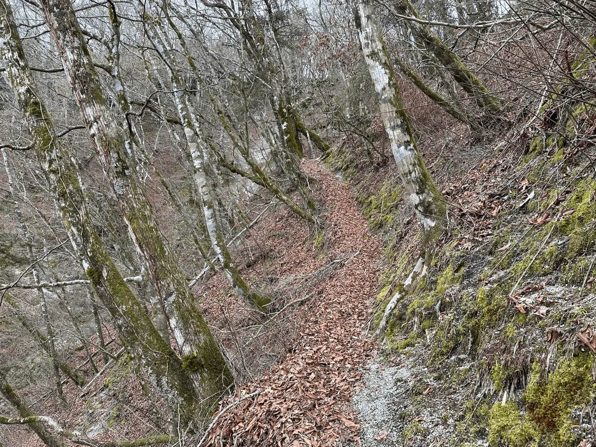
The interesting part about this hike is that you start in Yamanashi, but once you hit Mt Daikaigi, the mountain ridgeline you walk along actually marks the border between the Yamanashi and Kanagawa prefectures. From there the trail suddenly becomes distinctly more walkable, as it’s a part of the Tokai Nature Trail.

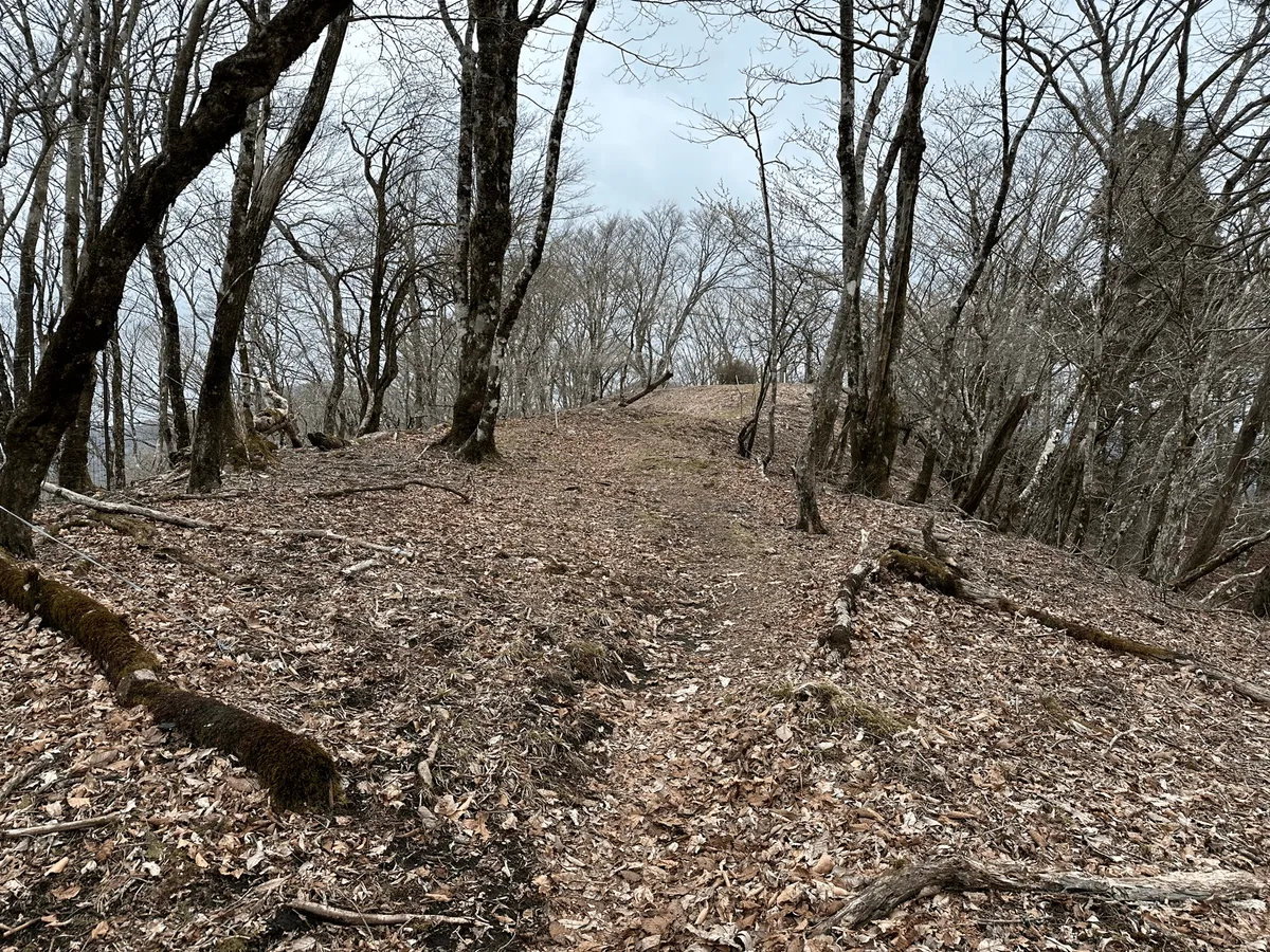
I’m not sure if the path is well-maintained because it’s part of the nature trail, or if it became a part of the trail because it’s easy to walk along. Apparently this trail stretches nearly 1700km from Osaka to Tokyo.
I had been planning on also climbing up to Mt Komotsurushi (菰釣山) near the end of the trail, but it would add about an hour to my hike and I didn’t really think I had the stamina, so I opted to skip it.
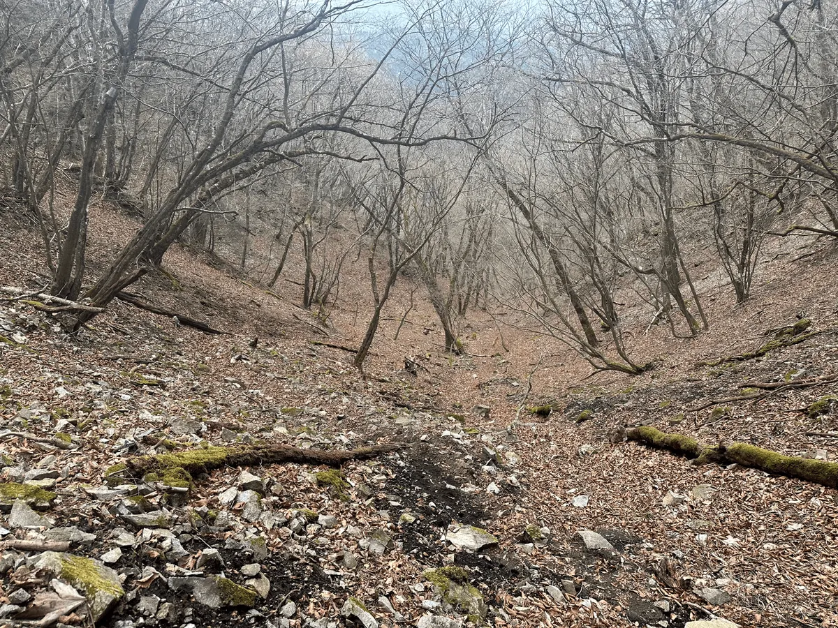
Unfortunately, the descent was no longer a part of the Tokai Nature Trail and so it immediately became a lot less walkable - there was a lot of leaves and small rocks underfoot, which made for a challenging descent. It evens out pretty quickly though, before you’re faced with the final boss of some river crossings.
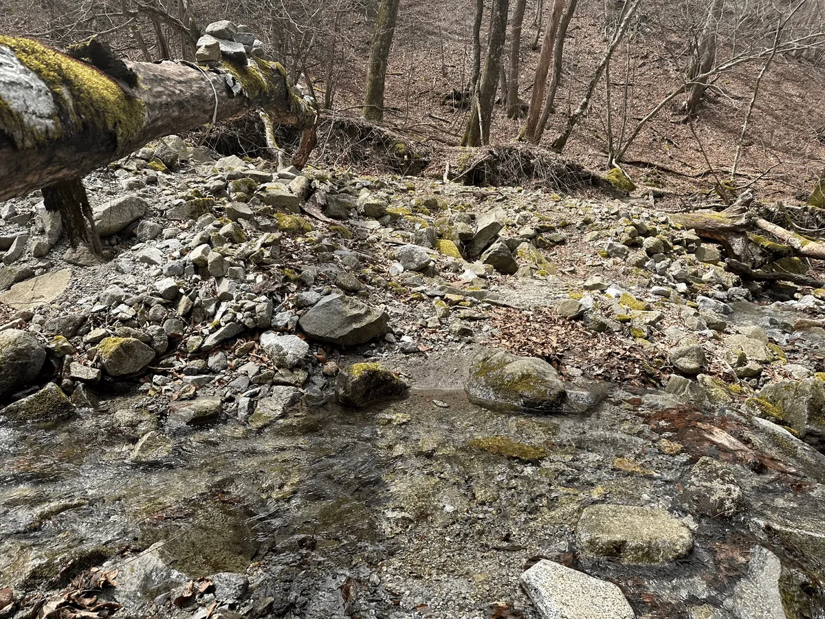

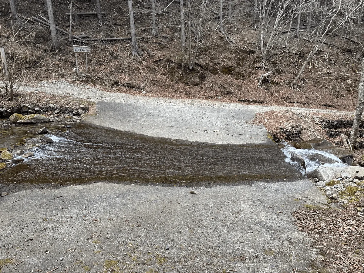
They’re all really tiny rivers and you can general cross them without getting wet shoes by standing on rocks (as long as you stay super careful).
Except for the very last “river”, which honestly crossing on the rocks looked a bit dangerous so I opted to just walk through the middle. My shoes got wet! I was also in the last hour of my hike so I figured it didn’t really matter too much. I definitely wouldn’t recommend doing this course in reverse though.
The trail finally takes you through a small camping and residential area before you make your way back to the starting point at Michi-no-Eki Doshi.


Before heading home I stopped off at the Starbucks for today’s post-hike treat - their limited time melon frappucino. I don’t always get the Starbucks frappucinos (they release a new one every month) but this one is probably my favourite. Would recommend!

Hiking course details
| Date climbed | Length | Course time |
|---|---|---|
| 2024-04-12 | 15km | 8h (the expected time for an average hiker without breaks) |
This is a loop course beginning and ending at Michi-no-Eki Doshi (道の駅どうし). The official course has you make a small detour to Mt Komotsurushi (菰釣山) but I ended up skipping this since I got too tired.
Car access details
| Car park | Time (from Tokyo) | Round trip cost |
|---|---|---|
| 道の駅どうし | 2h | ~5500 yen |
The carpark is at the Michi-no-Eki Doshi. I’m always a little hesitant to take up space at a Michi-no-Eki since its main purpose is for taking a break from driving, but it looks like this the only available carpark around if you want to climb this mountain.
Public transport access
This is technically accessible via public transport from Tokyo, with a bus to the Nakayama bus stop (中山バス停). However it will take you 3.5 hours, and the earliest you will get there will be at 10:23am so for that reason I am hesitant to recommend it as a day trip.
If you’re looking for a mountain in the Mt Fuji area, I would recommend Mt Ishiwari or Mt Sanpobun instead.
Leave a comment