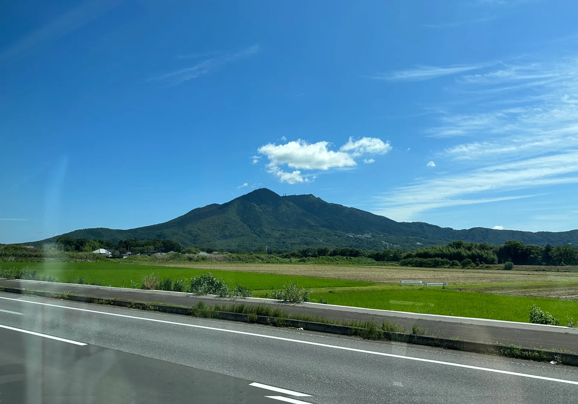
Mt Tsukuba (筑波山, Tsukuba-san) is a beginner-friendly mountain that I climbed immediately after Mt Takao (my first mountain) in May of 2022. It’s also a 100 Famous Mountain, and at 877m it’s by far the mountain with the lowest elevation on the list.
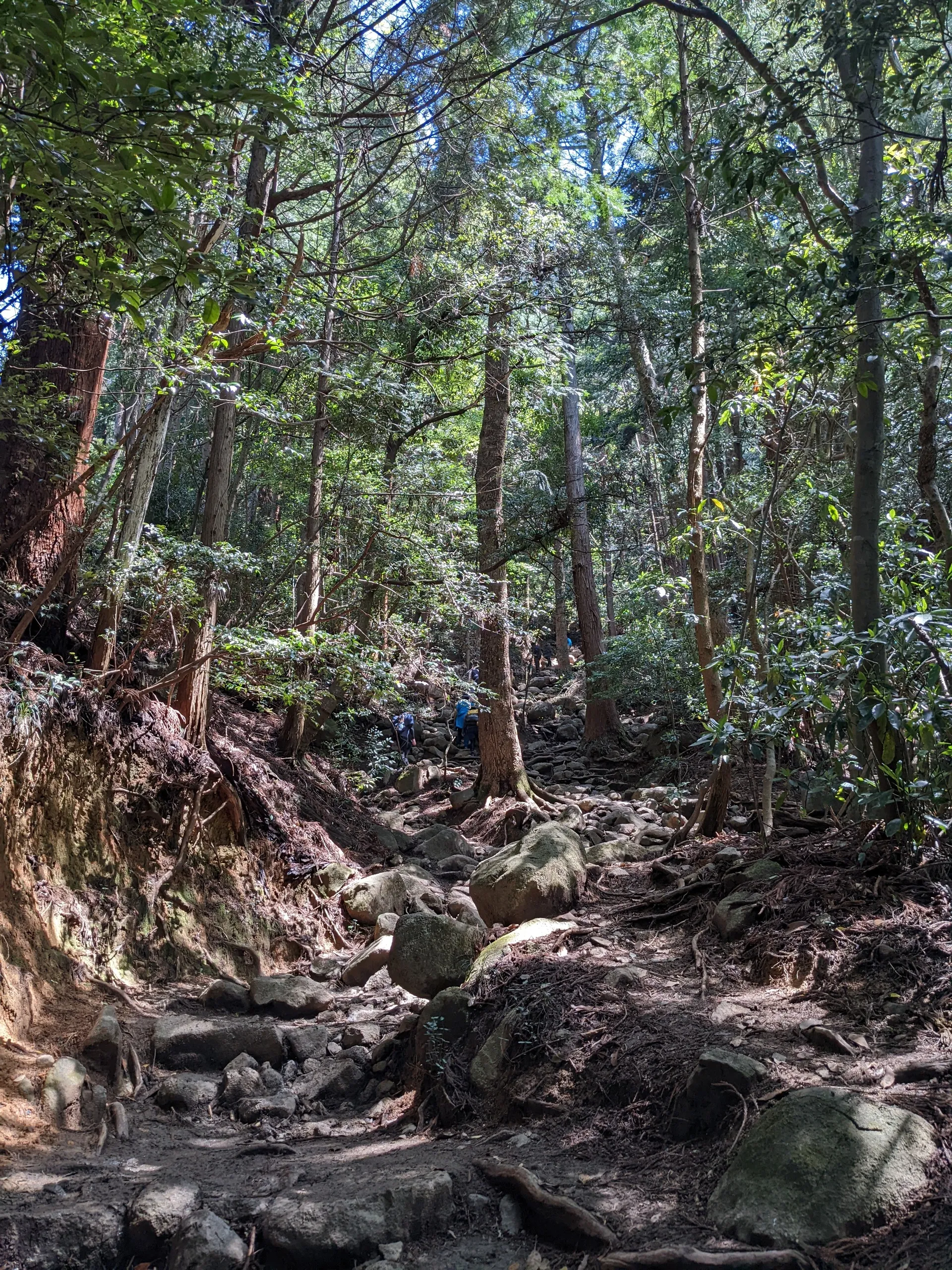
In comparison to Mt Takao, which is paved the whole way up, Mt Tsukuba is quite rocky which came as a bit of a shock at the time for a beginner hiker like me.
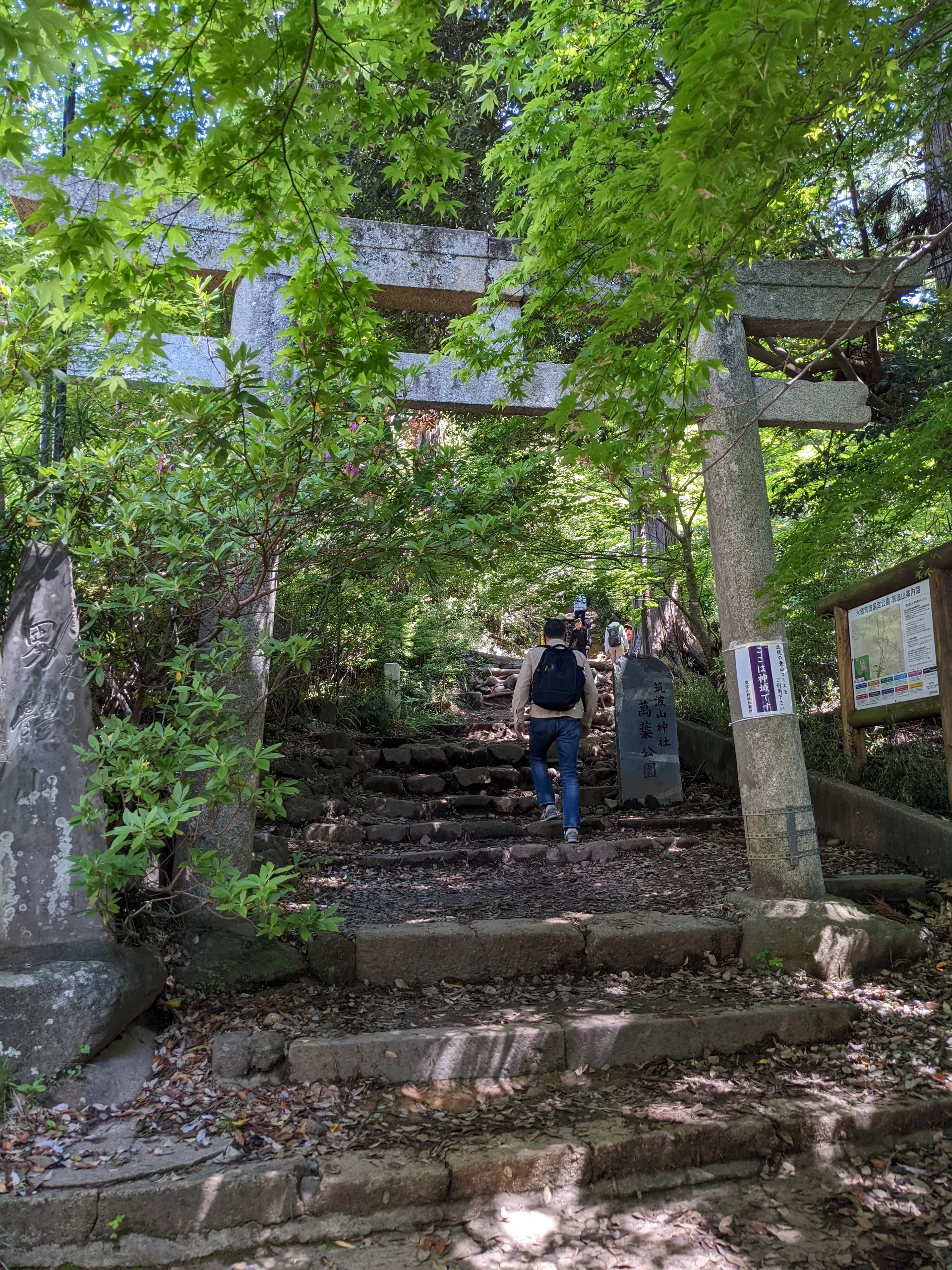
We decided to take the harder route on the way up (the Miyukigahara course) and the easier course (the Shirakumobashi course) on the way down.
The way up was quite muddy and very rocky, so I’m definitely glad we did not attempt this on the way down.
Once you reach the top, there are some food and souvenir stalls you can visit. There were plenty of people here who came via the cablecar and ropeway to check out the views.
Mt Tsukuba is actually made up of two separate peaks - Mt Nyotai and Mt Nantai (elevation 877m and 871m respectively). So from the top you need to walk another 30 mins to visit both the peaks. Since we visited on a public holiday, there were lines for both. The line for Mt Nantai wasn’t so bad, and there was a little fenced viewing point you could chill at and enjoy the view.
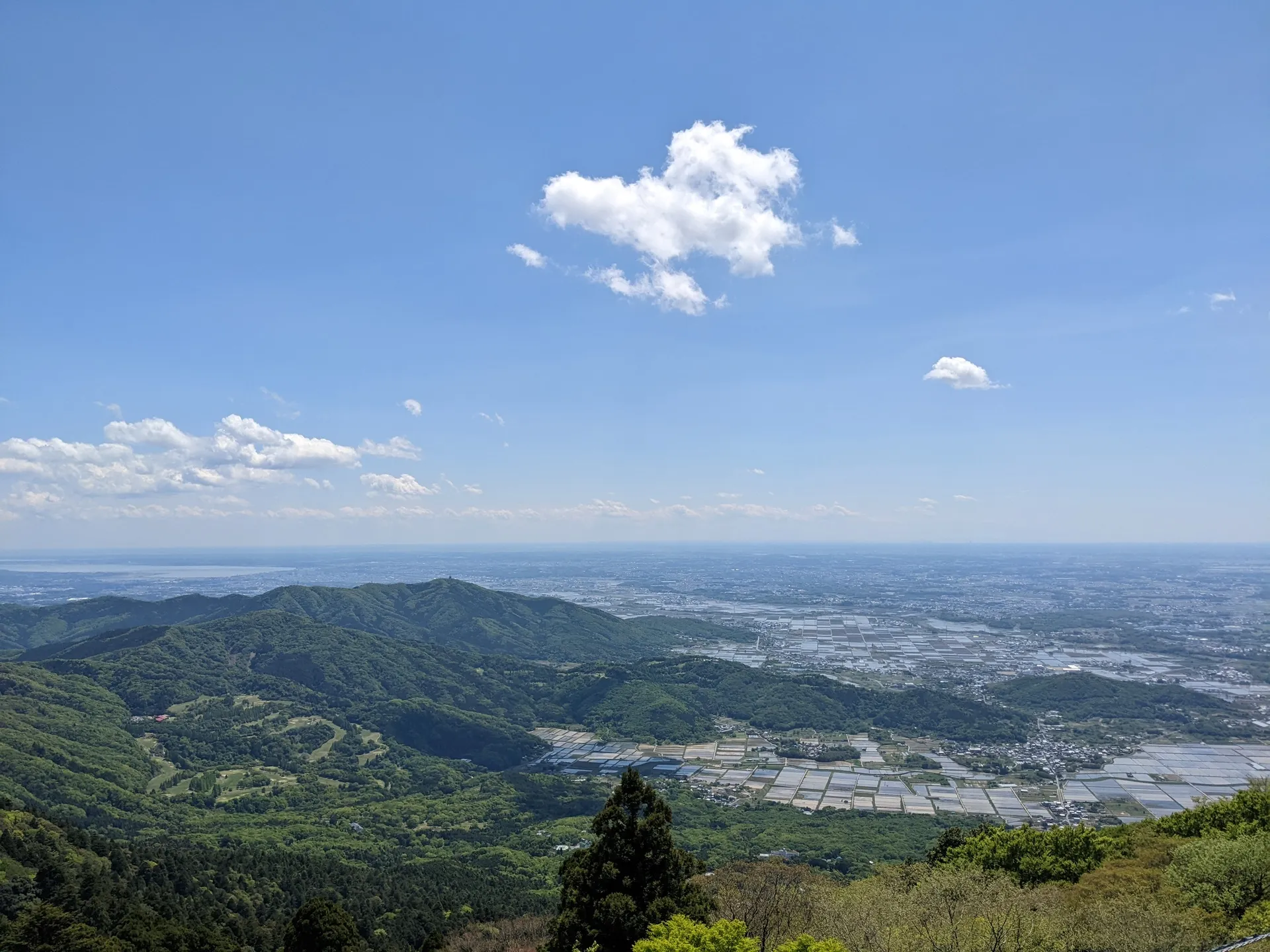
However the line for reaching Mt Nyotai was 30 mins to an hour long, since there’s a narrow rock that everyone wants to stand on for a photo. You can skip the line if you just want a quick look at the peak, though!
Having experienced the “hard” route on the way up, we were expecting something more relaxing on the way down but it was also very rocky. Looking back on this hike now, it’s not that big of a deal, but this being my second ever mountain, I was kind of surprised by it at the time.
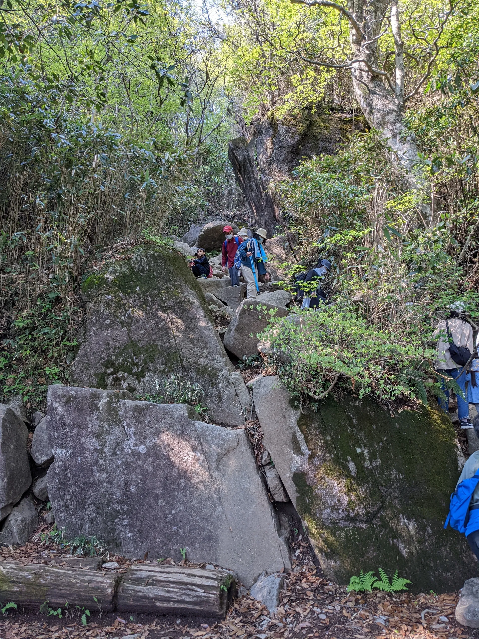
The descent was also very congested due to the Golden Week crowds. There were long lines, but luckily it was mostly for people trying to climb the mountain. I felt pretty sorry for them! Since the route was narrow in some bits, it slowed us down as we had to wait to allow some people to ascend before we could descend.
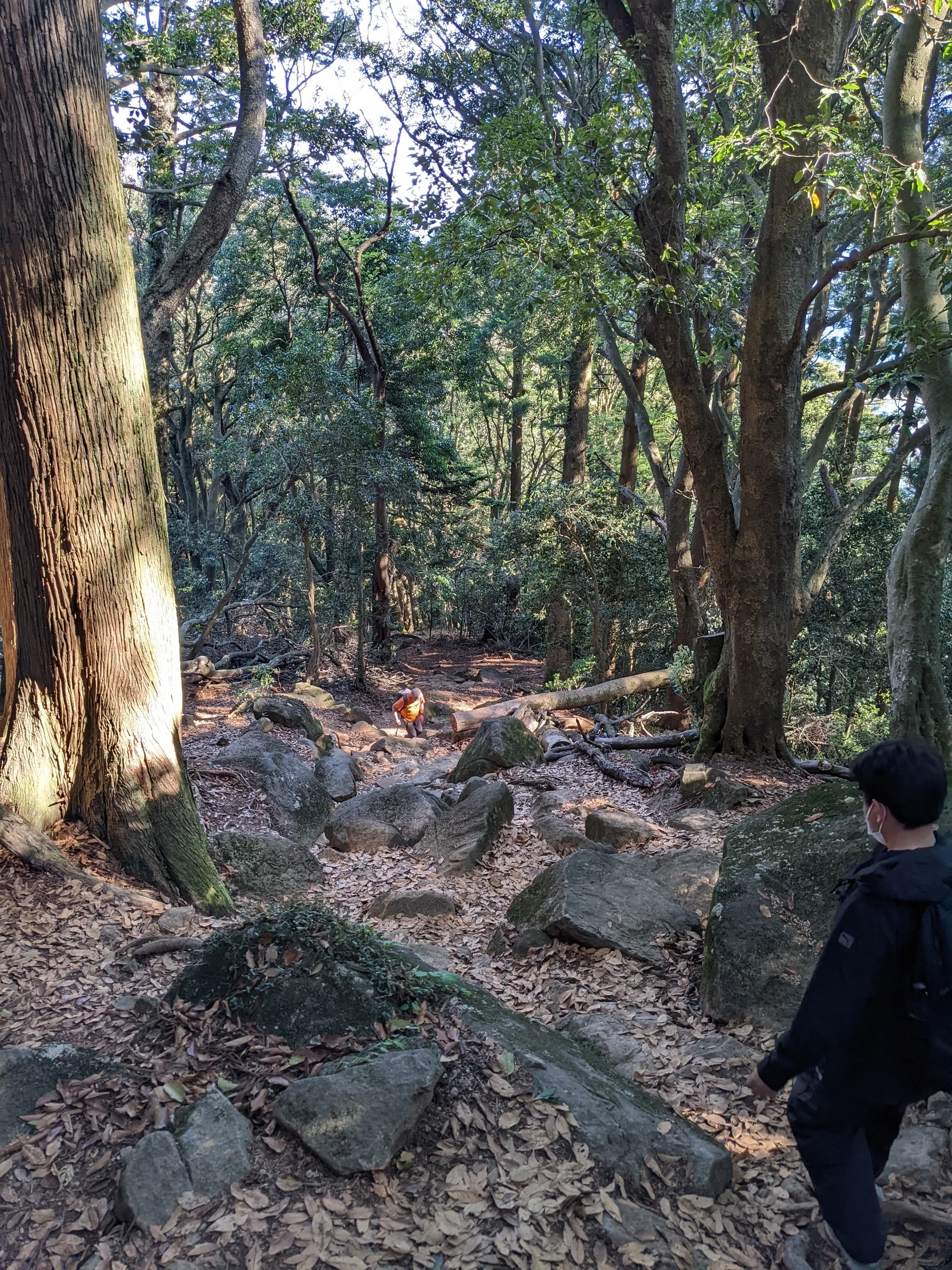
Once we passed the rocks, it got a little easier but the leaves underfoot were very slippery if you’re not careful. I slipped and landed on my butt at one point and then so did the person behind me not a minute later.
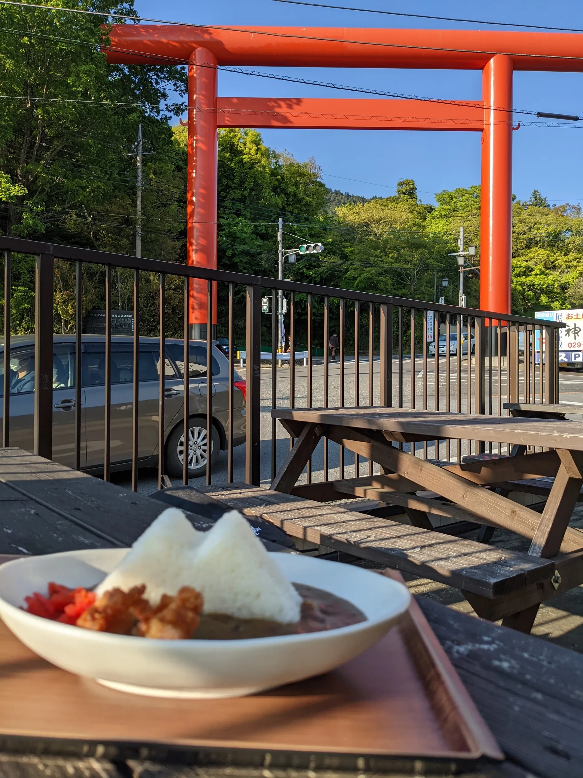
I was super hungry by the time we reached the bottom so I got some curry. The rice was in the shape of Mt Tsukuba and its iconic double peaks.
Hiking course details
| Date climbed | Length | Course time |
|---|---|---|
| 2022-05-06 | 9km | 4h30m (the expected time for an average hiker without breaks) |
This course can be made easier by taking the cablecar on the way up or down.
There are toilets available at both the trailhead and the top of the mountain.
Public transport access with example schedule
You can access the bus schedule here.
| Time | Location | Transport | Cost | |
|---|---|---|---|---|
| 08:01 | Akihabara (秋葉原) | Train | 1205 | |
| 08:47 | Tsukuba (つくば) | |||
| 09:00 | Tsukuba centre (つくばセンター) | Bus | 720 | |
| 09:36 | Mt Tsukuba Shrine trailhead (筑波山神社入口) |
The course is not too long and there are plenty of shuttle buses, so you can take it fairly relaxed. If you want to take a specific bus or want to sit down, I would recommend arriving a little early. If you get the train that arrives right before the bus, the lines can get really long and you may have to wait for the next bus.
| Time | Location | Transport | Cost | |
|---|---|---|---|---|
| 15:40 | Mt Tsukuba Shrine trailhead (筑波山神社入口) | Bus | 720 | |
| 16:20 | Tsukuba centre (つくばセンター) | |||
| 16:42 | Tsukuba (つくば) | Train | 1205 | |
| 17:27 | Akihabara (秋葉原) | |||
| Trip total: | 3850 |
Leave a comment