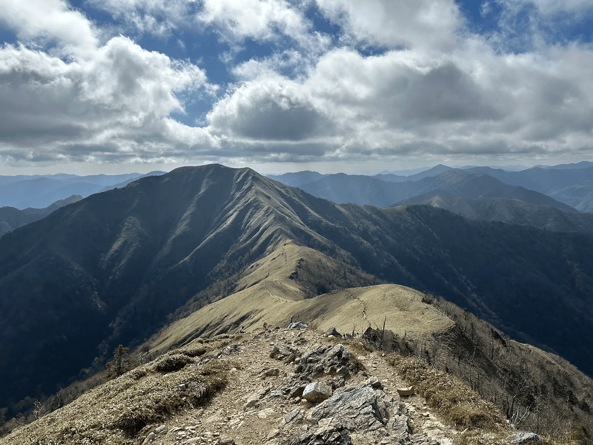
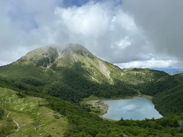
Mt Tsurugi (剣山, tsurugi-san) is the second highest mountain in Shikoku with an elevation of 1955m, and is also one of Japan’s 100 Famous Mountains. Located in Tokushima prefecture, this mountain can be climbed in as little as 90 minutes with a chairlift, and is a very beginner-friendly day hike.
Thanks to the chairlift, the mountain is full of a mix of sightseers and hikers alike, and is especially popular in the autumn leaves season.
After climbing Mt Ishizuchi the day before, we set out in our rental car and drove over to the trailhead at Minokoshi (見の越). We did arrive quite late, and considered taking the chairlift up - but even without it, the hike only takes 3 hours so we decided not to.
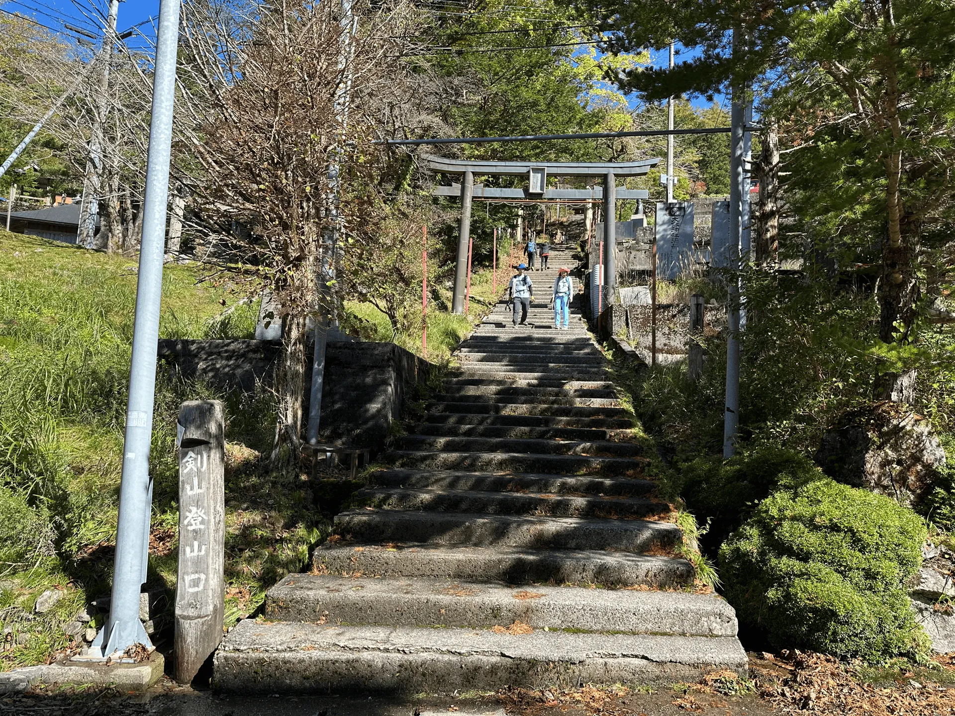
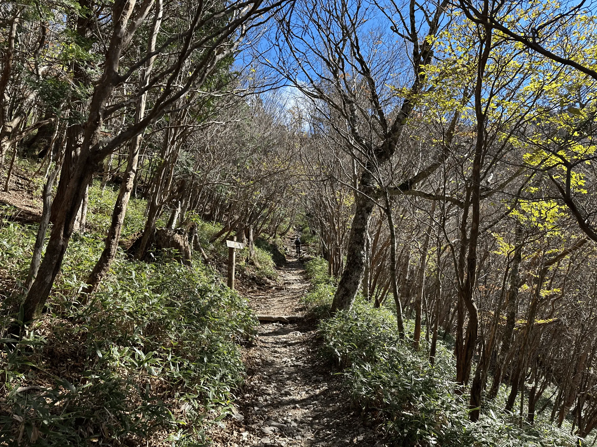
It was after 11:30am when we began climbing, so we passed plenty of people on their way down the mountain, but there were still the occasional group of hikers climbing upward as well.
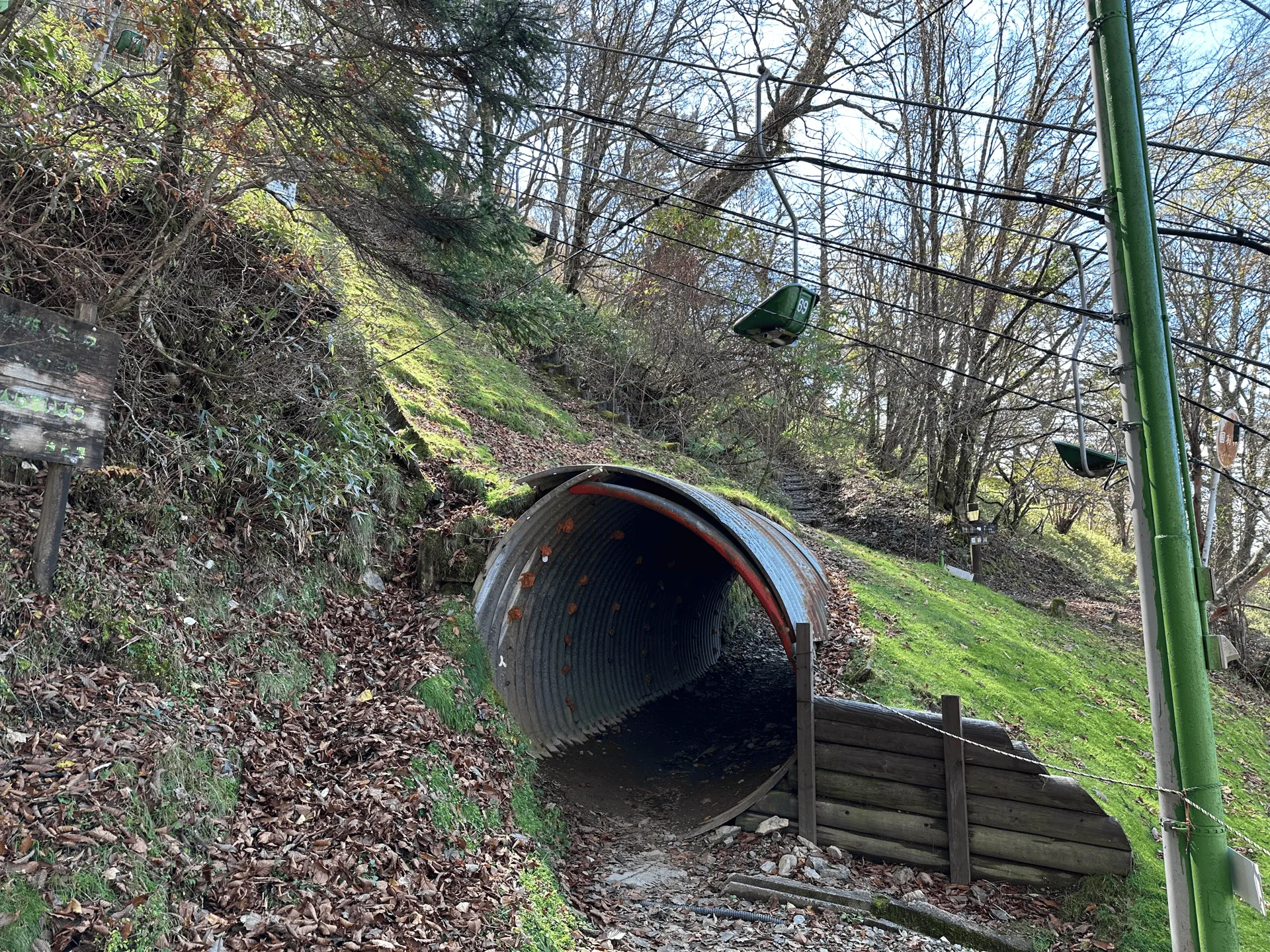
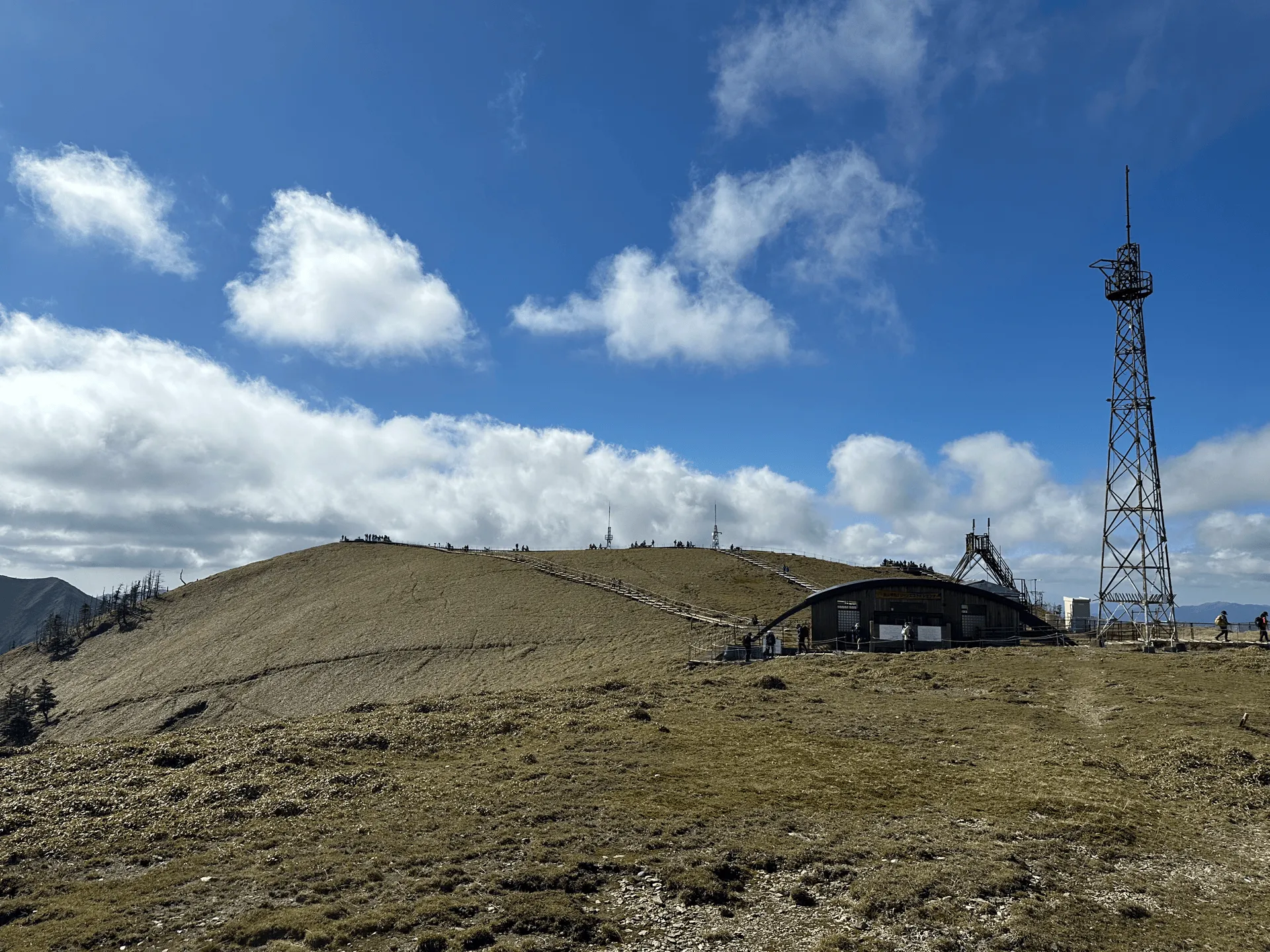
Within about 40 minutes, we approached the top of the chairlift, and got our first glimpse of one of the buildings near Mt Tsurugi’s peak.
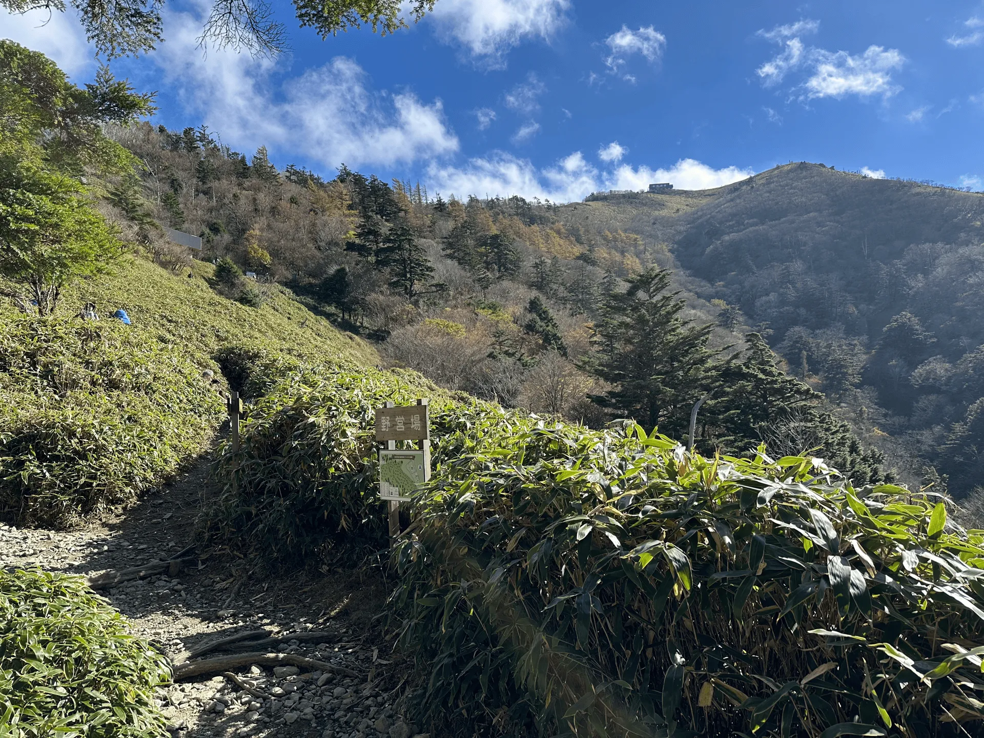
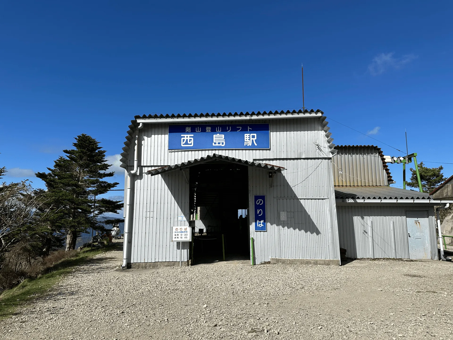
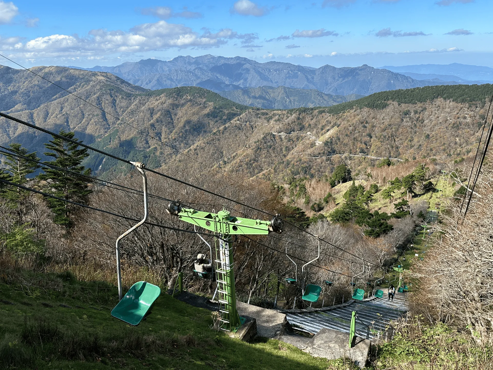
Mt Tsurugi has a number of hiking courses, and so from the chairlift building there are a number of paths leading outwards. We wanted the most direct trail, which you can find if you head behind the chairlift building and then climb up the stairs to the right of it.
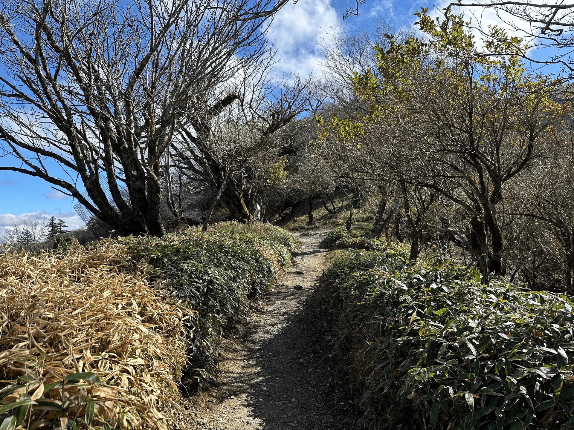
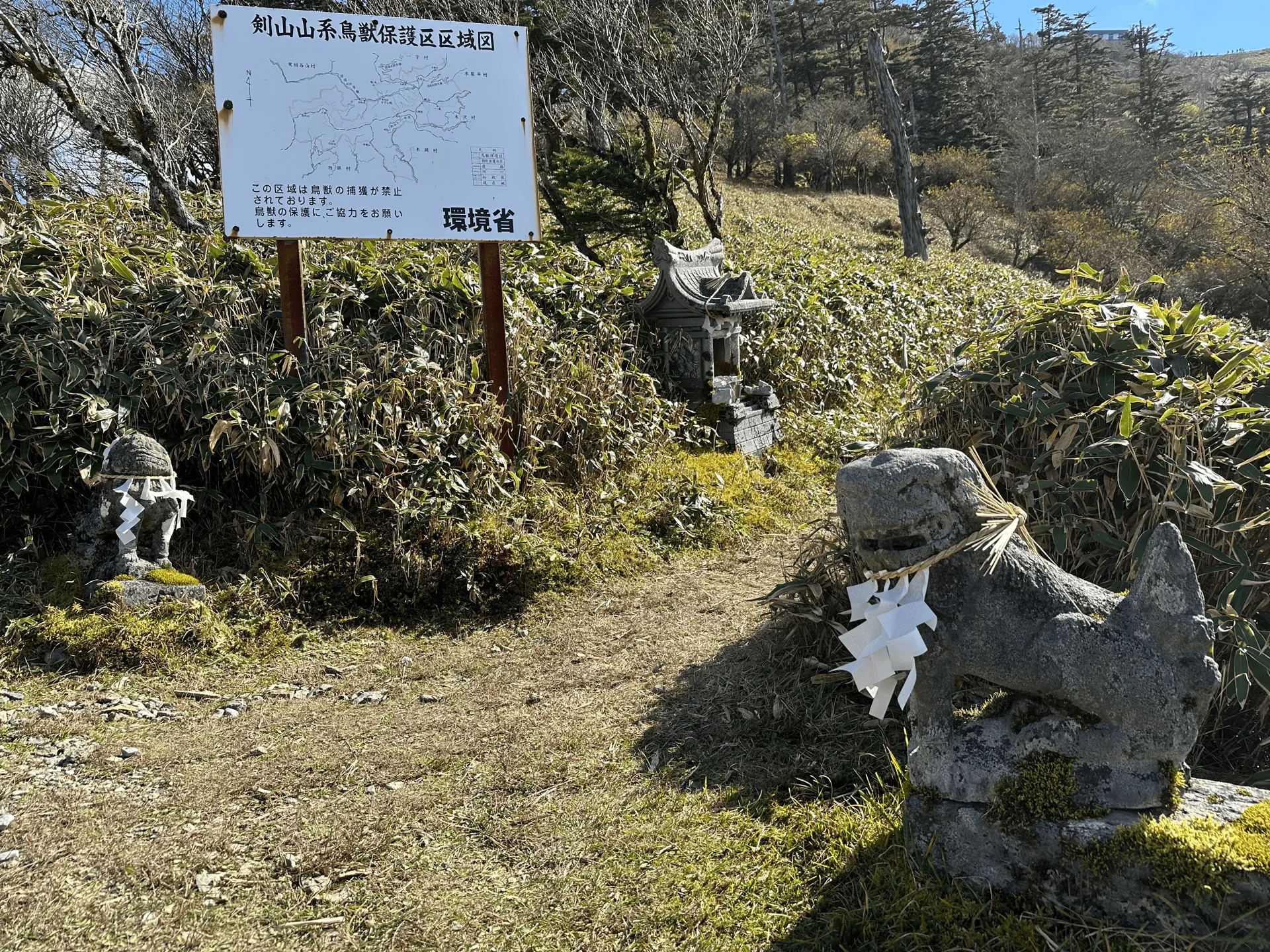

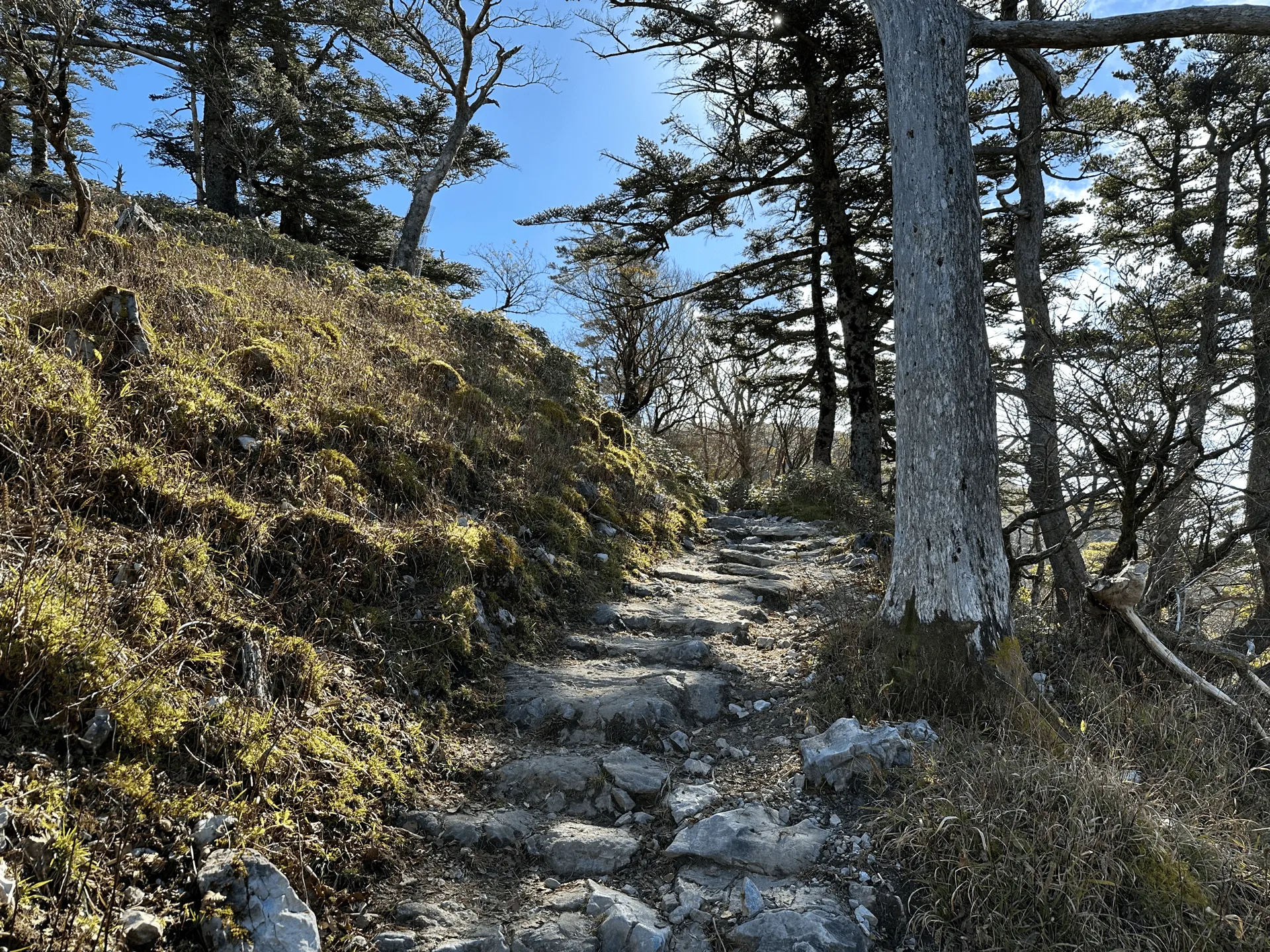
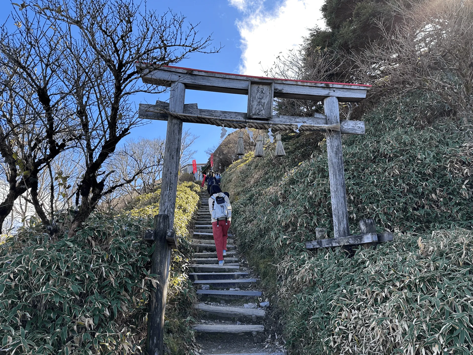
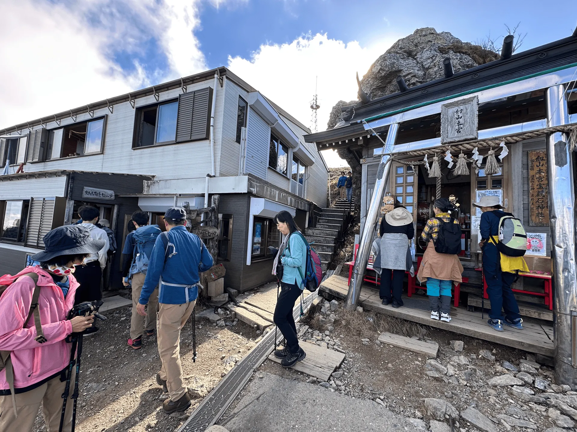
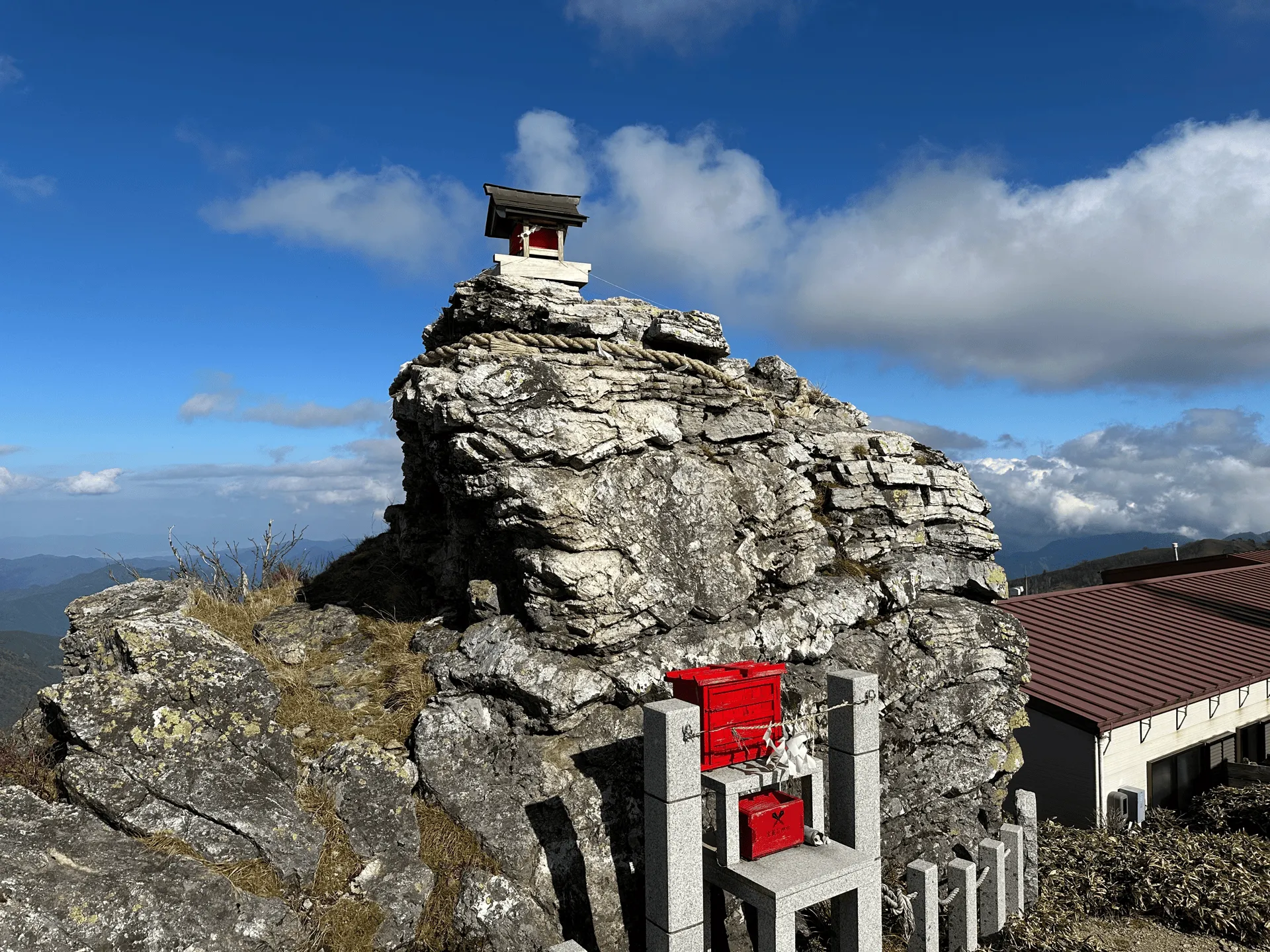
Before long, we came across another torii gate, and then shortly after that, the Tsurugi shrine and mountain hut.
Once you climb past the shrine, the peak of Mt Tsurugi is like a large open field, criss-crossed by a number of boardwalk trails.
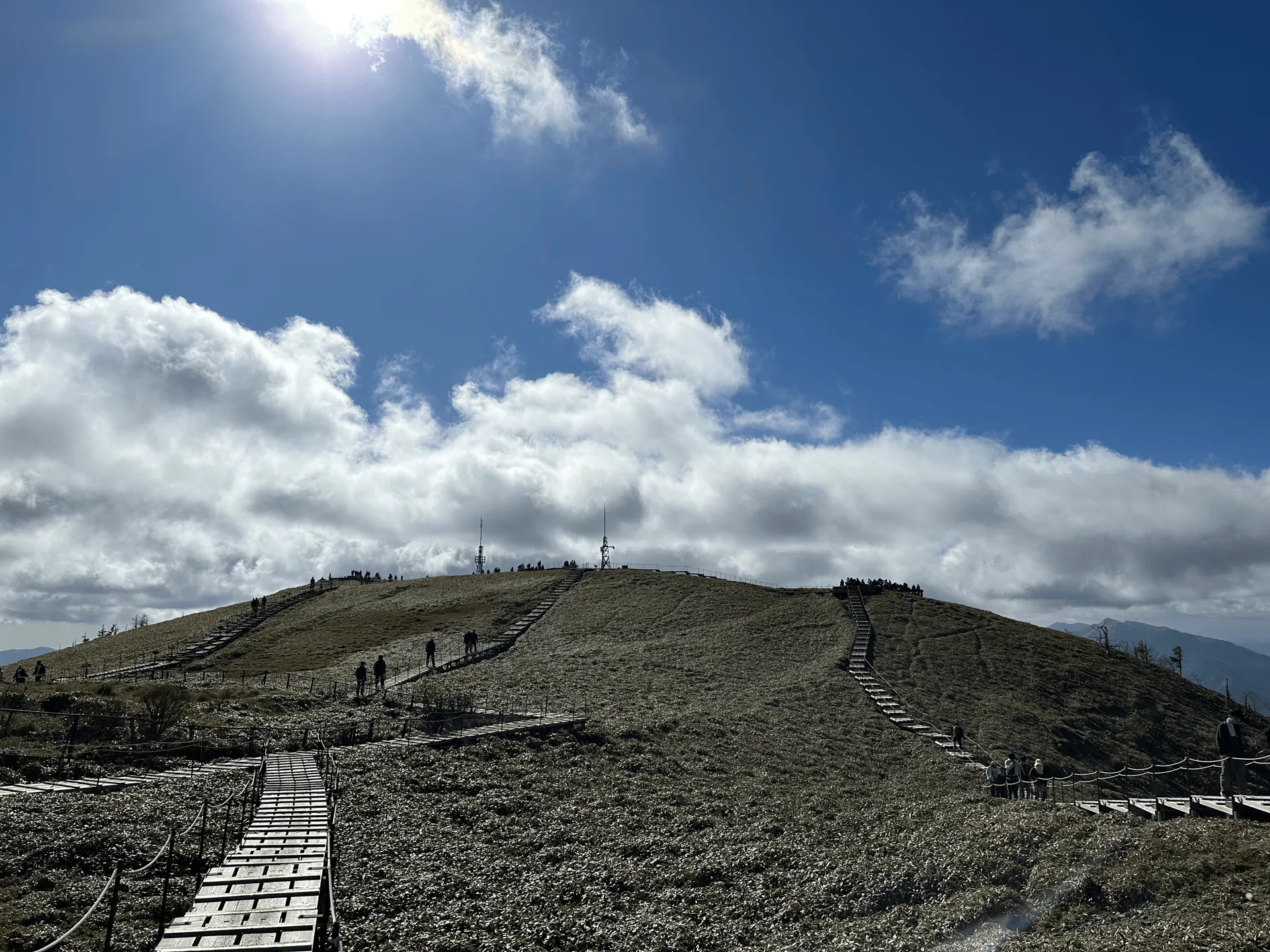
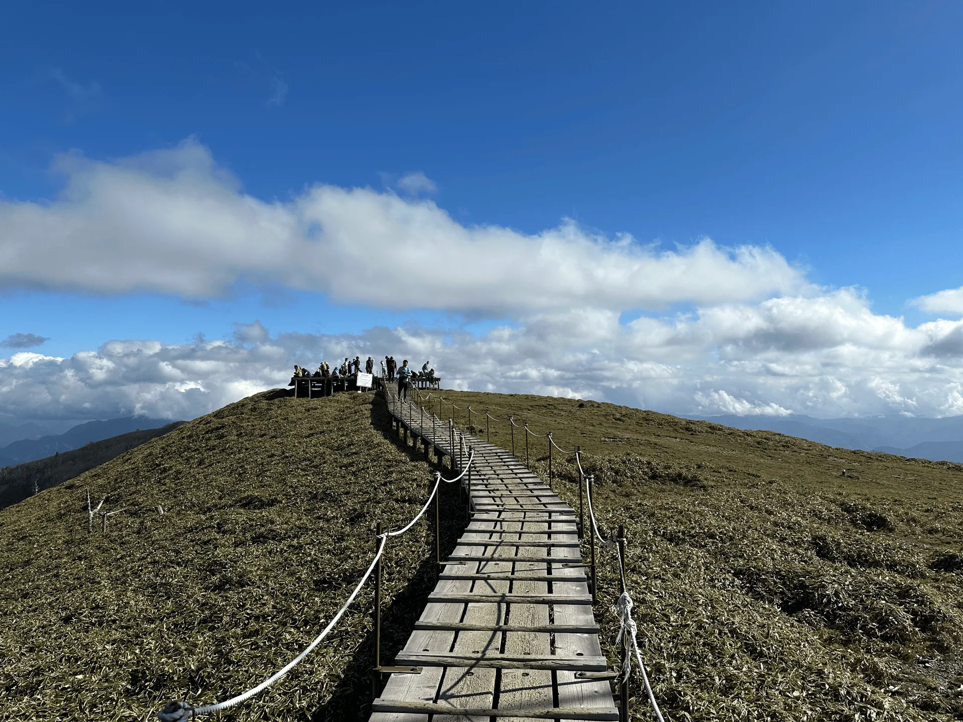
Some sections of the boardwalk end in large wooden decks, and there were plenty of people here taking a break and enjoying the views.
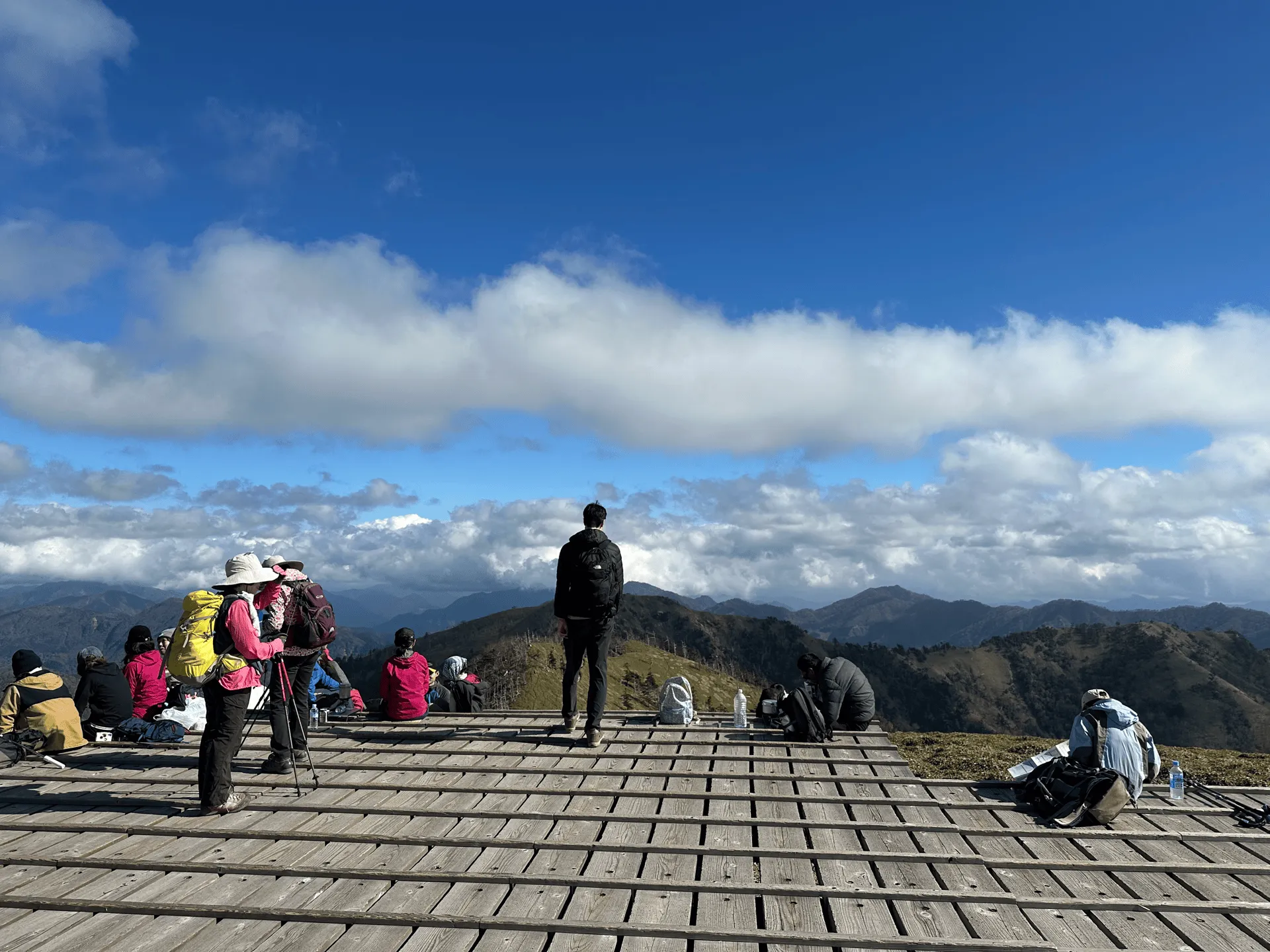
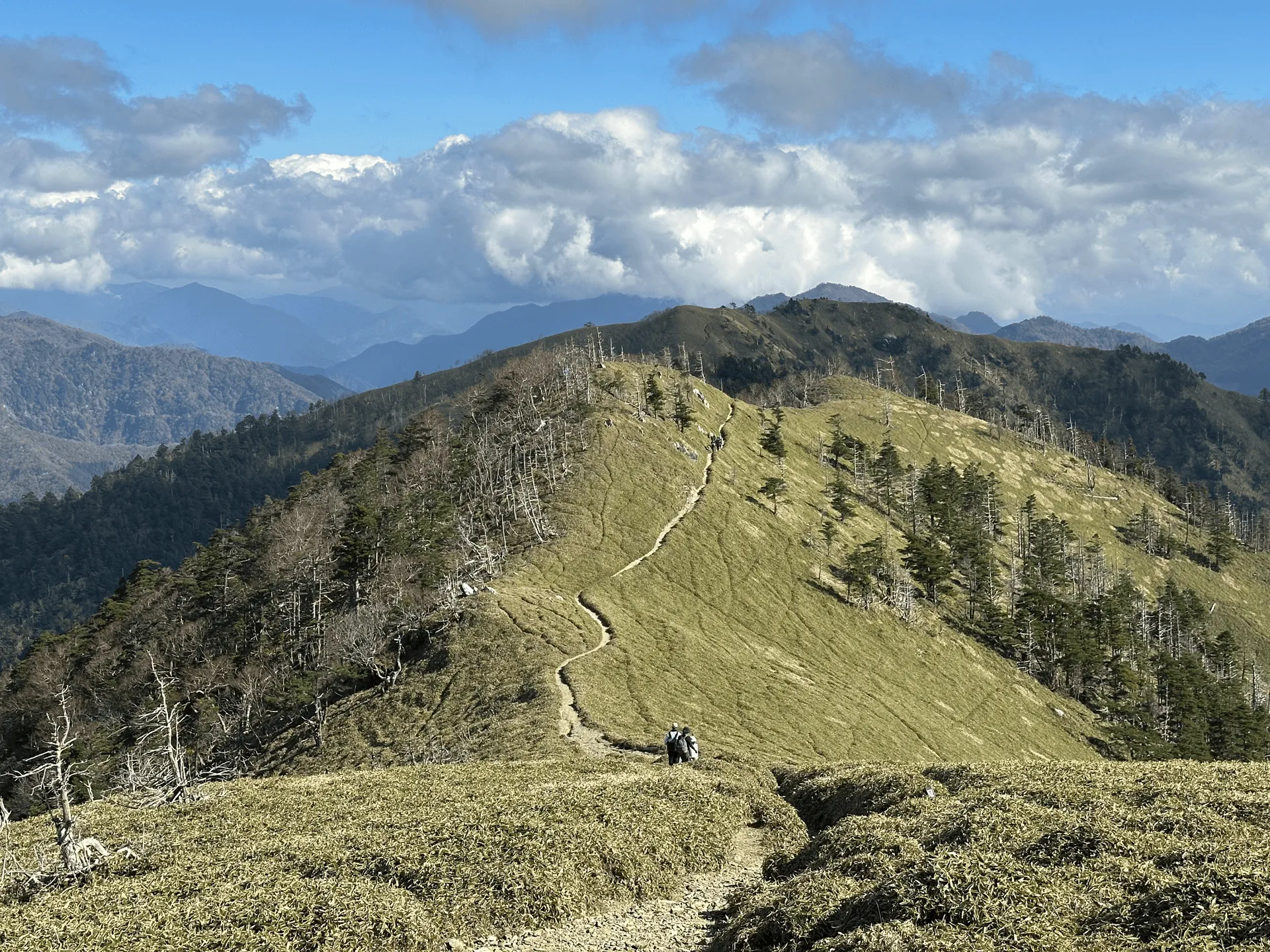
From one of the deck, you can also see the trail extend out towards Mt Ichinomori (一ノ森), which is one of the 100 Famous Mountains of Shikoku.
Back in the other direction we crossed the grassy plain to reach the peak of Mt Tsurugi.
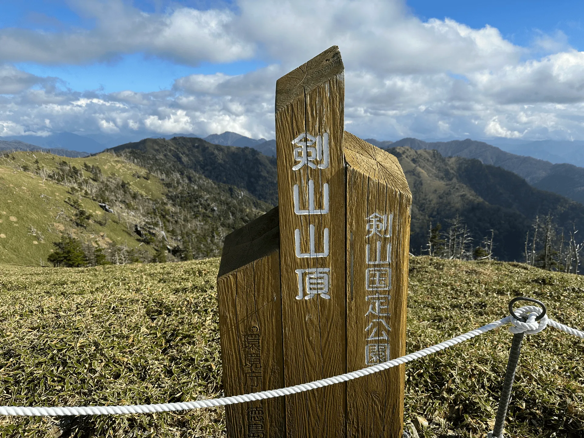
Unfortunately, the peak marker is awkwardly behind a rope. I think what happened is that the peak marker was here first, and then the boardwalk came along afterwards.
From Mt Tsurugi, you can also see out towards Mt Jirogyu. It has an elevation of 1930m, which is relatively close to Tsurugi’s. It’s actually the third highest peak in Shikoku.

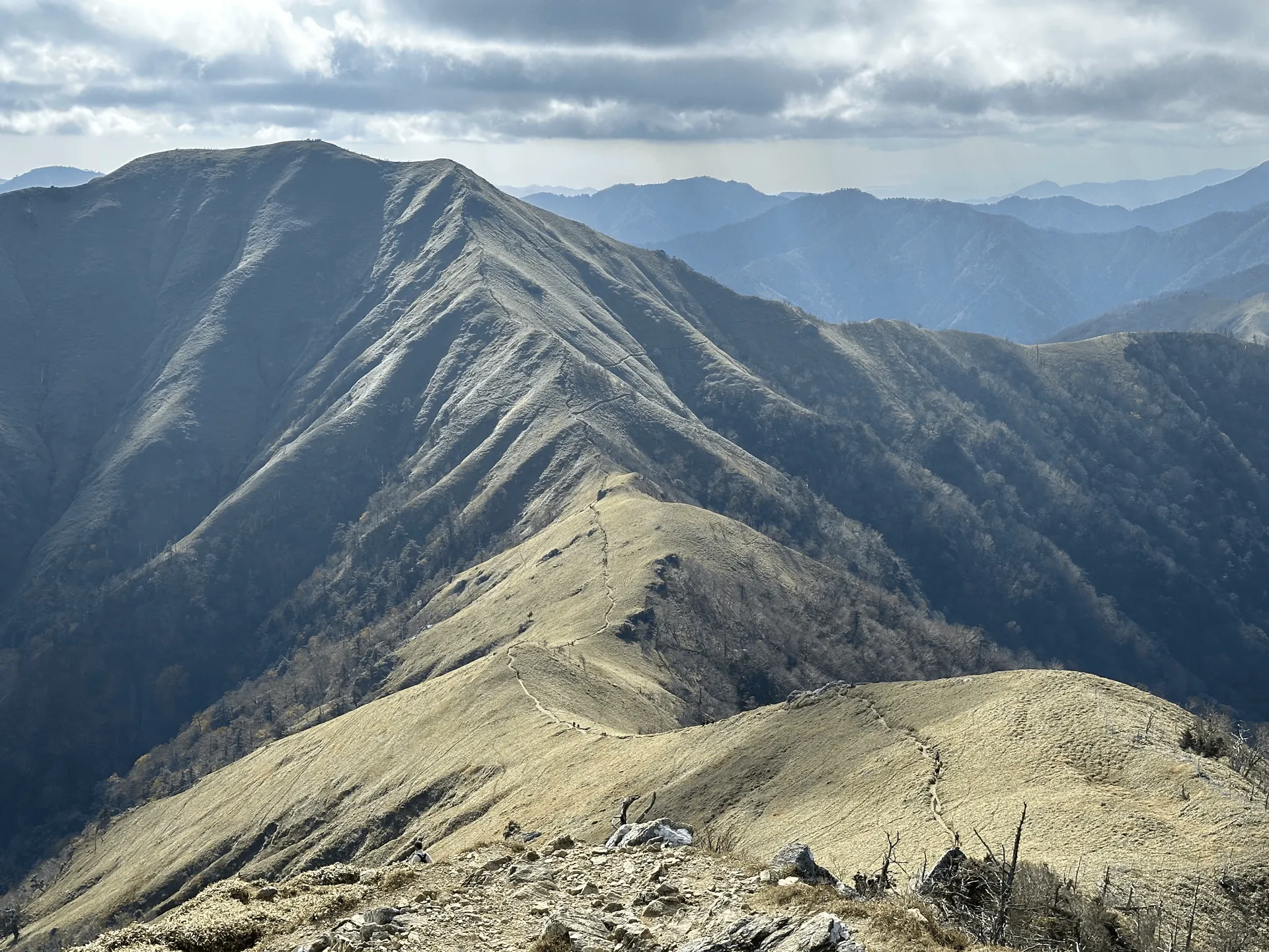
Optionally, you can continue along this trail to its peak if you wanted to extend your hike. I wonder what Mt Tsurugi looks like from the peak of Mt Jirogyu? We wanted to keep our hike fairly short today though, we decided to retrace our steps back down the mountain.
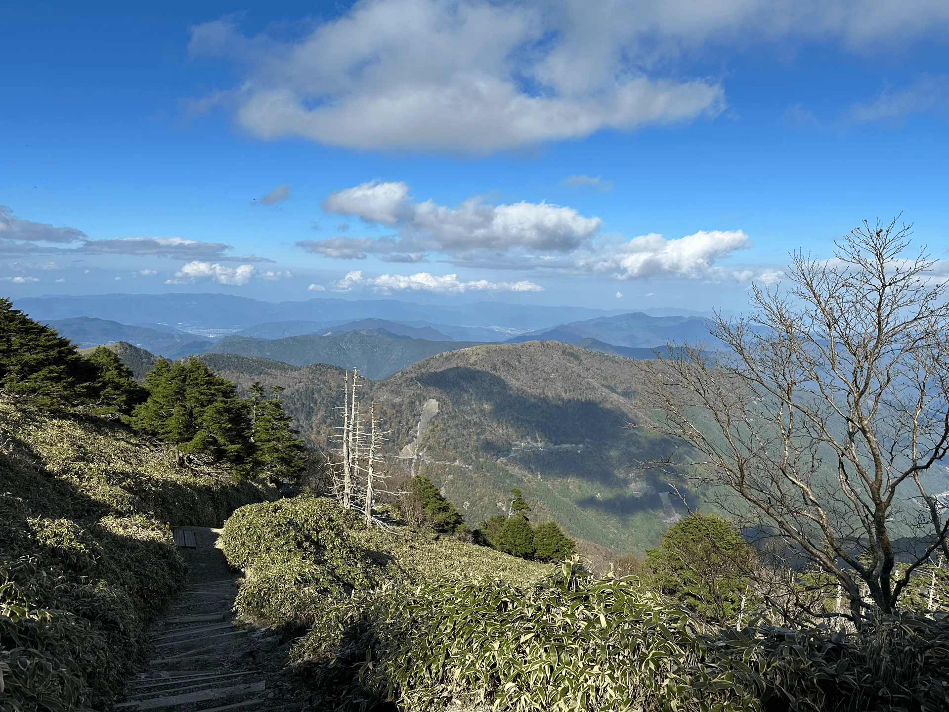
Overall, the trail is very smooth and easy to walk, which makes sense because there are plenty of people who come here in their regular sneakers from the chairlift. Even as we continued our descent past 2pm, there were plenty of people passing us on their way up. Generally Japanese hikers are quite diligent about summiting around noon and being off the trail well before it gets dark, but with how accessible this mountain is, I guess you can be on and off it quite quickly.
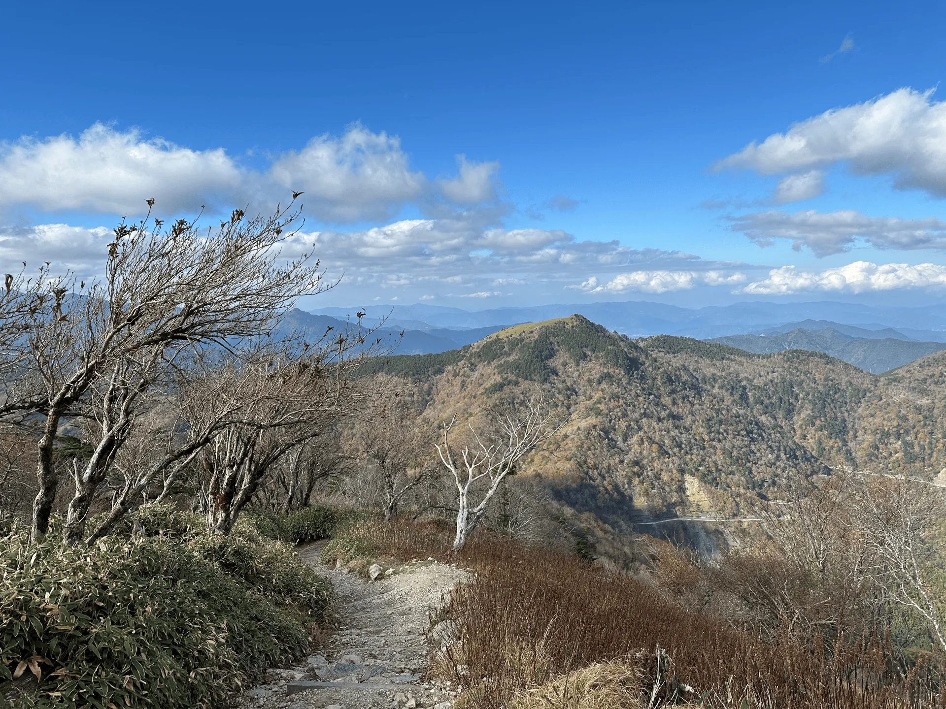
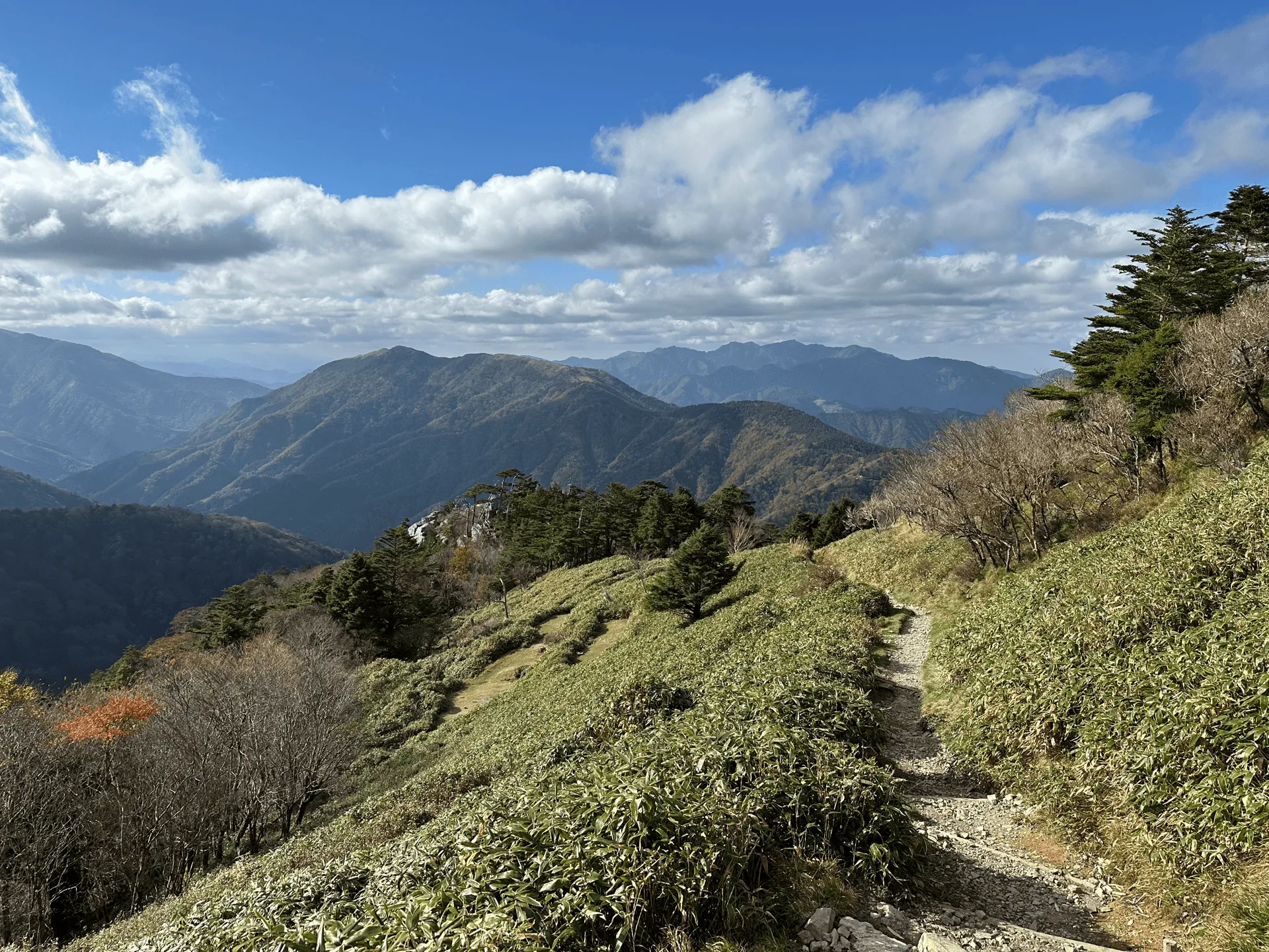
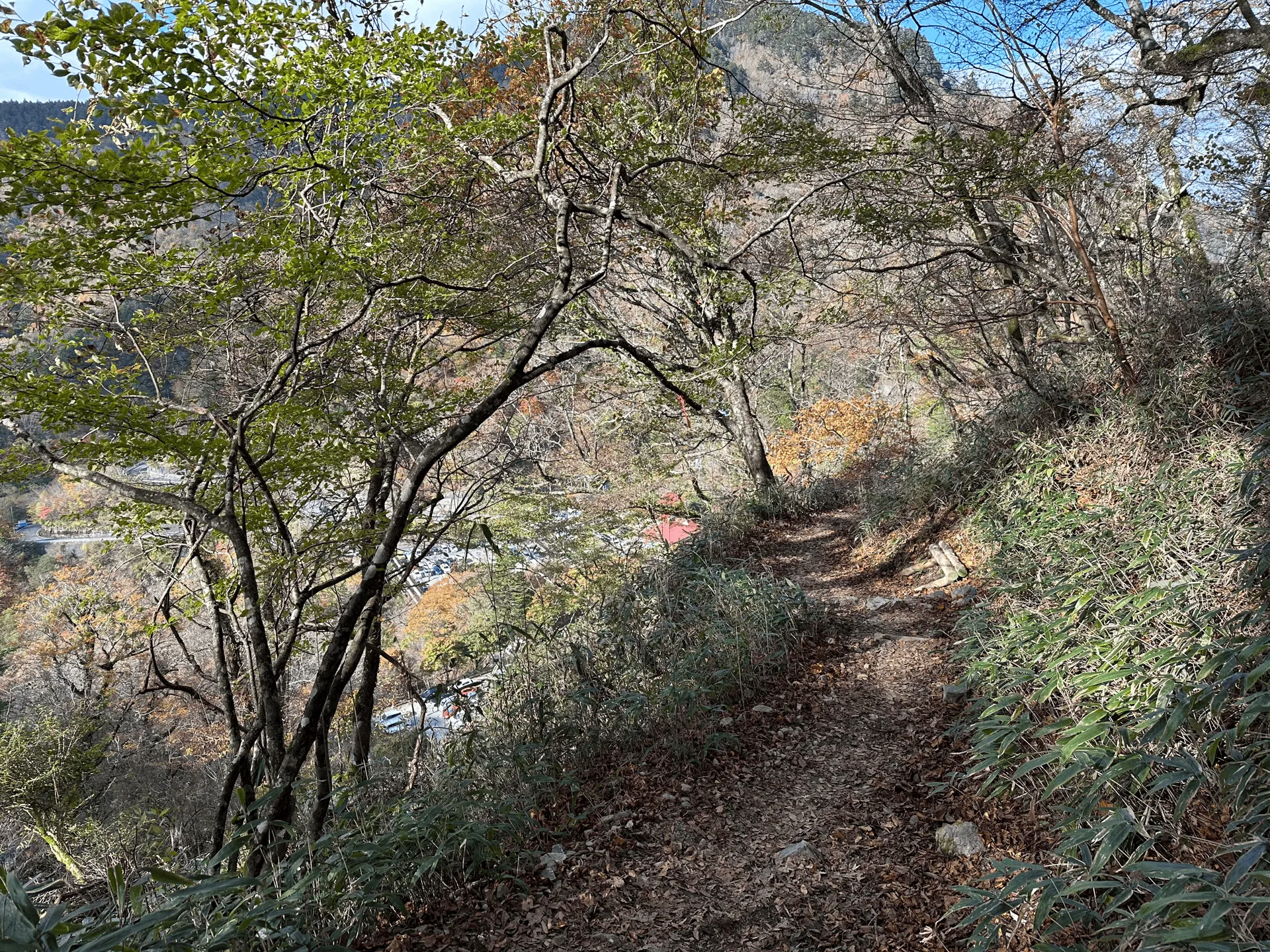
And before we knew it, we were off the trail! Today was a quick and easy hike, which we needed after our longer one the day before at Mt Ichizuchi. We really got lucky with the weather this weekend, and we had the perfect conditions for a hike both days.
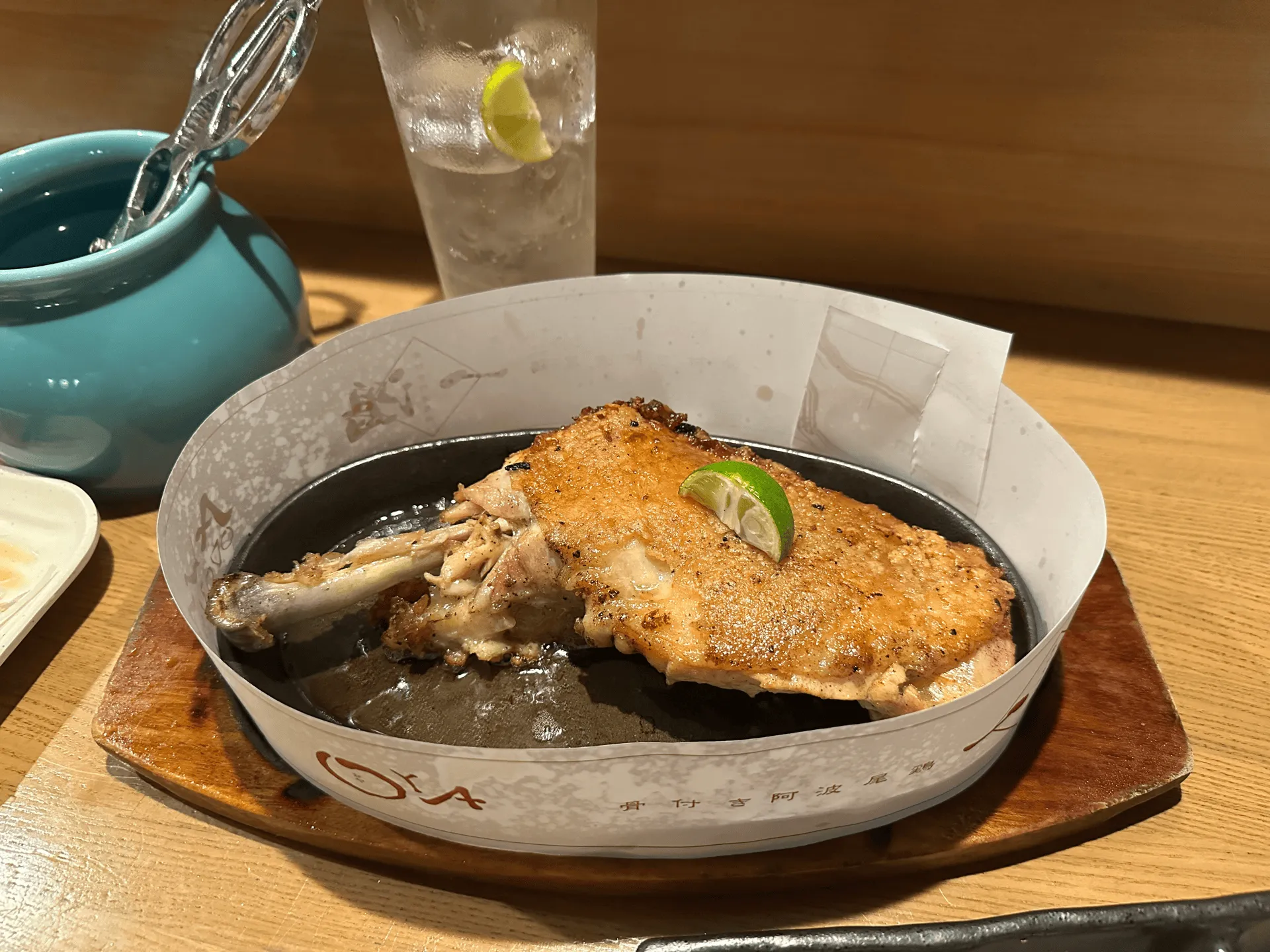
Before heading back to Tokyo, we spent the night in Tokushima, and stopped by a local izakaya for some delicious awa-odori chicken, a food famous to the area.
Hiking course details
| Date climbed | Length | Course time |
|---|---|---|
| 2024-11-04 | 4.7km | 3h (the expected time for an average hiker without breaks) |
Note this is not to be confused with the similarly named Mt Tsurugi in Toyama prefecture, which has an elevation of 2999m.
Your hike will start at the Minokoshi (見の越) trailhead. From here you can either get a short chairlift ride up (1900 yen both way) or skip it and hike up yourself.
If you are looking to do a day hike from here, there are 3 options available to you:
- The shortest course which makes use of the chairlift in both directions is 2km and 80mins
- The medium-length course that is a direct hike to the summit and back, is 4.7km and will take you 3 hours.
- The slightly longer 7.5km course which takes you on a small loop, and also out to the neighbouring Mt Jirogyu, can be done in just under 5 hours.
There is also the option to do a 10km point-to-point course, which starts at the Minokoshi trailhead and ends at the Oku-Iya Niju Kazurabashi. I’m not too sure of the public transport options here, but this is a popular tourist location nearby so maybe there are some buses running.
There are toilets at the chairlift stations, and also at the summit as well.
Public transportation access
The Minokoshi trailhead can be accessed via a bus from Sadamitsu station (貞光駅). Looking at the 2024 timetable, the bus leaves at 7:50am and will get you to the trailhead at 9:24am. From there, you have just over 4 hours to enjoy your hike until the return bus leaves at 13:45.
Some key things to note are that:
- It will cost you 3000 yen one way, and is cash-only (the island of Shikoku generally does not accept Suica cards)
- The bus runs on the days marked in red on the calendar in the timetable I linked above. For 2024, this was most weekends and public holidays from mid-April to mid-November, with no buses running in the month of June.
The other alternative is to get a bus from the Awa-ikeda bus terminal (池田バスターミナル) which departs at 8:15am and arrives at 10:58am. The return bus is at 14:55. You have a bit less time than you would if you left from Sadamitsu station, so I think it depends on where you end up staying for the night.
Car access details
Driving up to Mt Tsurugi involved a drive through some very narrow and windy roads, so if you are a bit of a nervous driver I would recommend mentally preparing yourself, or expecting the drive to take a bit more time than what Google Maps might predict.
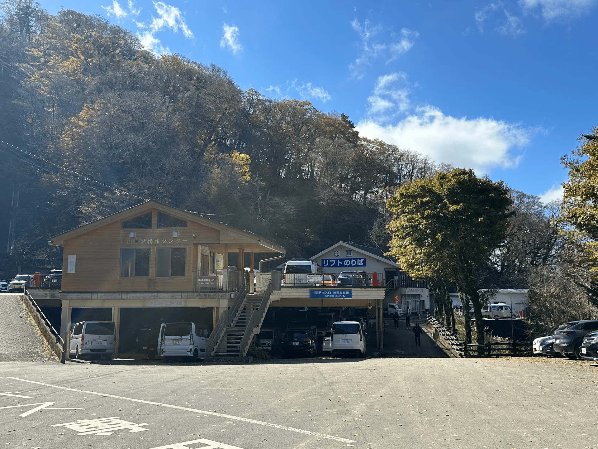
The car park is right outside the Mt Tsurugi chair lift. Ideally, you’ll be able to park in the first parking lot, which is a small two storey building. However we came on the Monday of a 3-day weekend, and although we had passed the peak of autumn leaves season at the summit of the mountain, the area around the chairlift was still very beautiful and so there were very big crowds.
We arrived at the trailhead at around 11am, and this parking lot was completely full. There is a second parking lot (called “剣山 見ノ越第2駐車場” on Google Maps) which is an 1.8km drive down the road. We just managed to squeeze in a spot there.
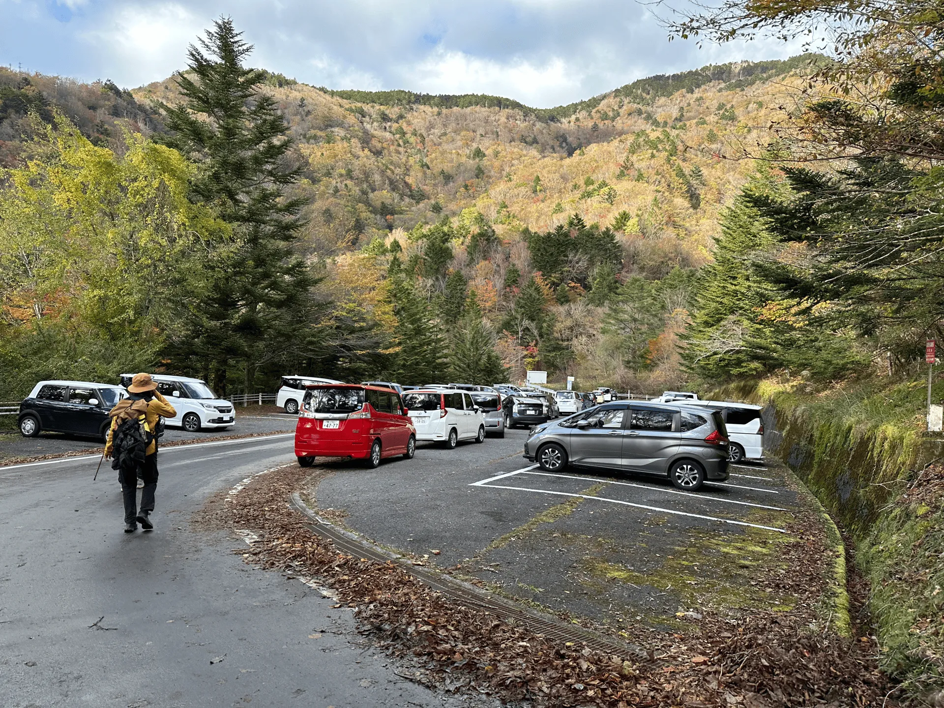
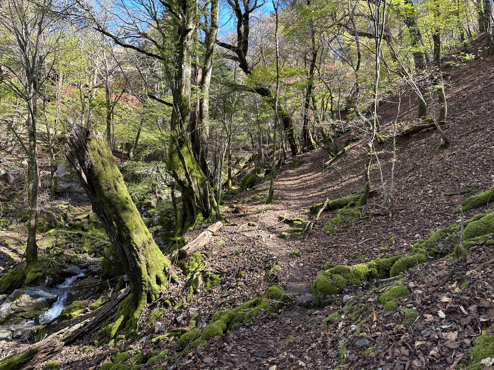
I would also note that as you walk up the 1.8km road from the second car park to the trailhead, there is a point on the road where there is a shortcut that cuts through the forest to save you some time. I would recommend getting out YAMAP to find this one, or keep your eyes peeled on the right side of the road for the shortcut sign.

Logistics: Travelling between Mt Ishizuchi and Mt Tsurugi
I climbed Mt Ishizuchi on Sunday using public transport, before getting a rental car on Monday morning and driving over to Mt Tsurugi. I did debate for a while whether I should go via public transport to Mt Tsurugi as well. Here’s a quick cost/time breakdown I did if you were also tossing up the two options.
Option A: Only using public transport
- After climbing Mt Ishizuchi and making it back to Iyo-Saijou station, you will need to take a train to Sadamitsu station (approx 3 hours and 6500 yen)
- The next morning, get a bus to the trailhead, which costs 3000 yen and takes 90 minutes.
- Add on another 90 minutes plus 3000 yen for the return trip
- For us, we wanted to then get to Tokushima station, which is another 90 minutes and 1200 yen.
This totals to 7 - 8 hours of travel time, for a cost of 27,000 yen for two people.
Option B: Rental car
It’s a 2.5 hour drive from Niihama to the trailhead, and then another 2 hours from the trailhead to Tokushima, for a total of 4.5 hours of travel time. The costs came out to a little over 20,000 yen, including 16,000 for the rental car, 2,500 yen in tolls and some amount in gas (I forget the exact amount).
We ended up getting the rental car from Niihama, which a bigger town and only 2 stations away from Iyo-Saijou station. The rental car was quite pricey (usually you’ll only spend 8000 yen or so for 1 day) because we were dropping it off in a different direction from where we picked it up. Even so, it came out to be cheaper for two people to take the rental car, and we saved some time as well.
I think if you were to do the trip on your own, the cost may be a lot more painful, and it may still be worth taking public transport.
Leave a comment