- Elevation 1841m
- When to climb
Mountain stats
Mt Zao (蔵王山) is a Hundred Famous Mountain located in Yamagata prefecture. It’s a cluster of volcanoes most famous for its green crater lake, and in the wintertime is also a popular ski resort and onsen town.
With a Shinkansen it’s accessible as a day trip (albeit pricey) from Tokyo. A ropeway will take you most of the way up, and the course is 4 hours, so it’s pretty beginner-friendly too.
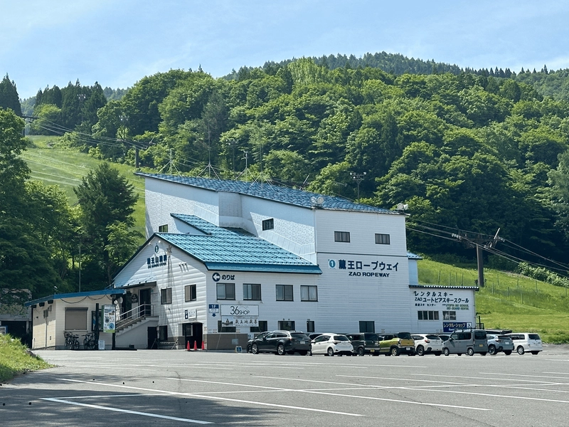
After staying in Sendai the night before, we took two buses to Zao Onsen before hopping on the ropeway up. The ropeway was nearly empty when we got on, which I was quite surprised by because Mt Zao is quite a popular mountain. Maybe we were able to beat the Tokyo daytrip crowd, or early June is still the off-season. I definitely expect it to be very crowded during autumn when the autumn leaves are at their peak.
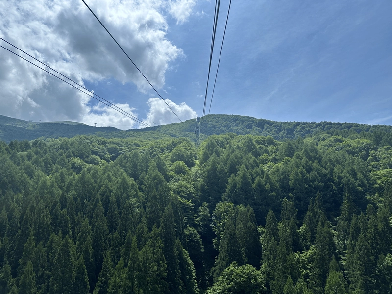
A transfer onto a second ropeway takes you to an elevation of 1667m, and we finally get to begin our hike.
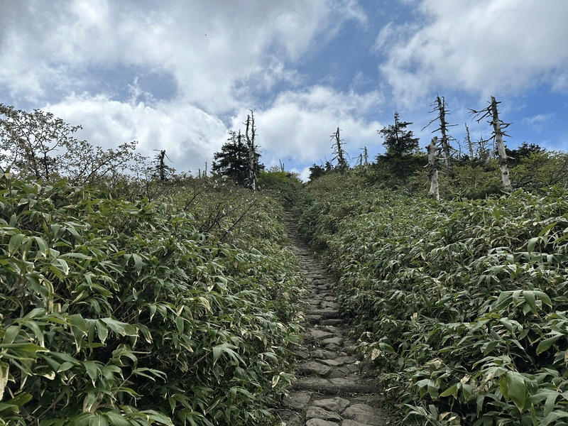
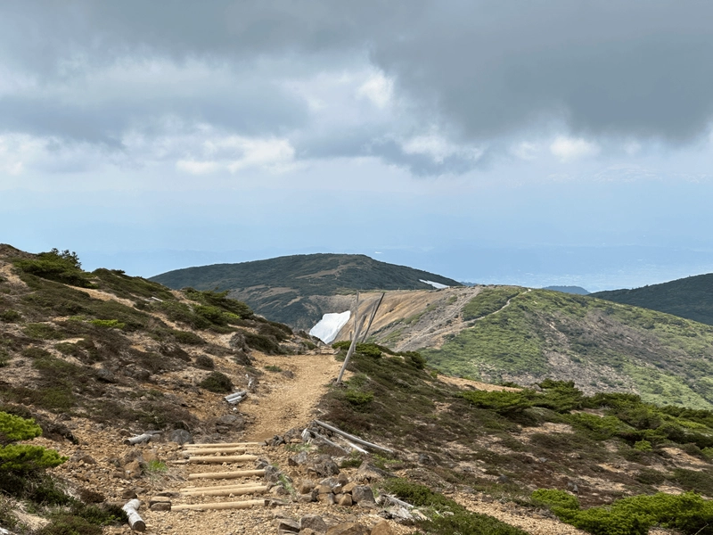
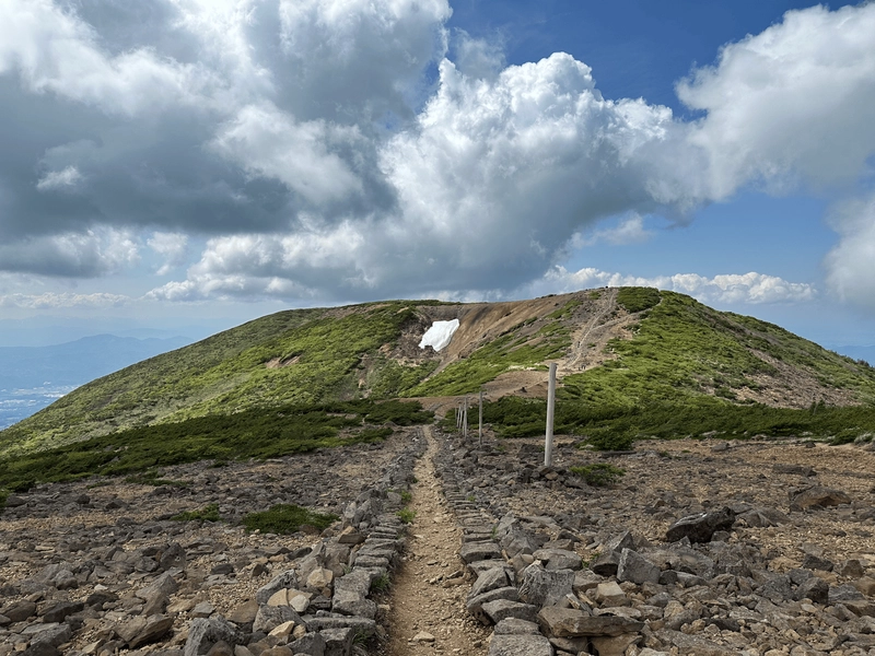
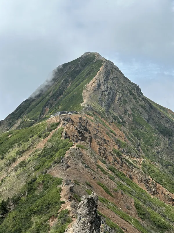
Within 10 minutes of climbing up a steep set of stairs, we made it to our first peak of Jizo-dake (地蔵岳). The weather was great and with blue skies we were optimistic about our chances to see the green Okama Crater.
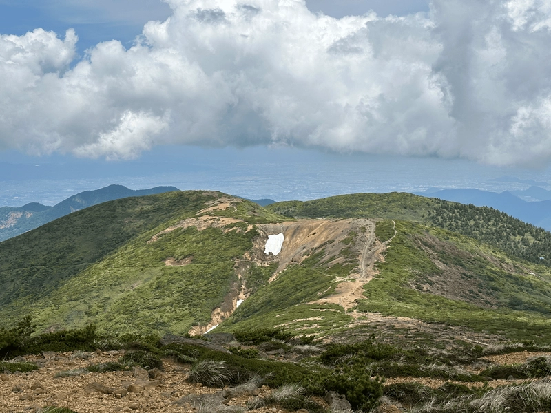
From Jizo-dake we lose some of our hard-earned elevation gain as we head down the side of the mountain.
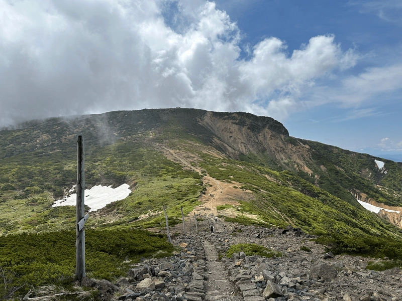
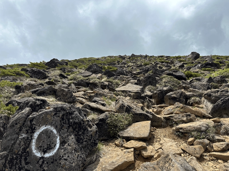
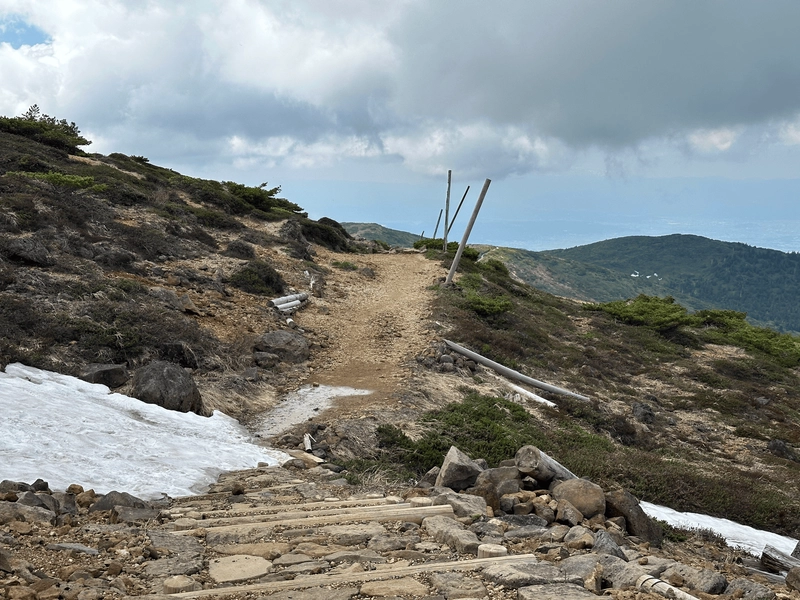
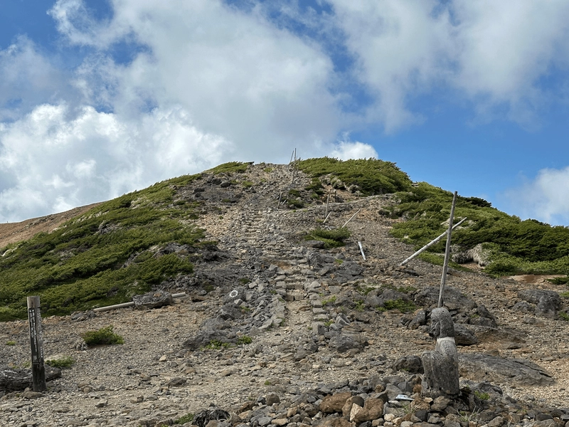
From here we had the option to take the regular mountain trail, or to clamber over the pile of rocks up as a shortcut to the summit. We knew we were going to be returning the same way, so we opted to go for the rocks on the way up so we could experience the more relaxed trail on the way back down.
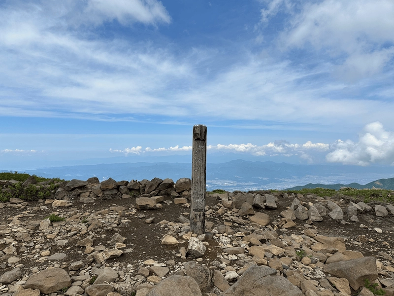
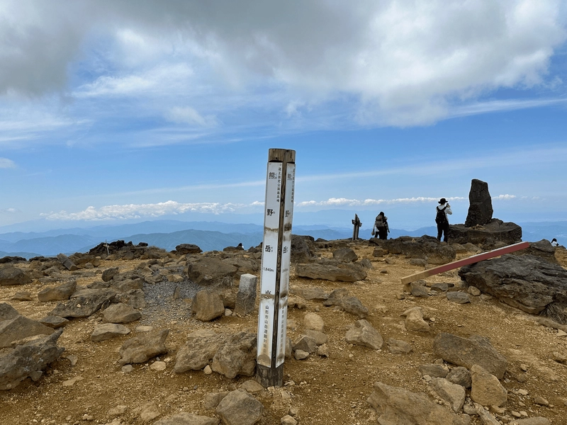
And within an our of starting our hike, we had already reached the highest peak of Mt Zao! Mt Kumanodake (熊野岳, kumano-dake), at an elevation of 1841m.
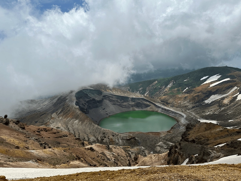
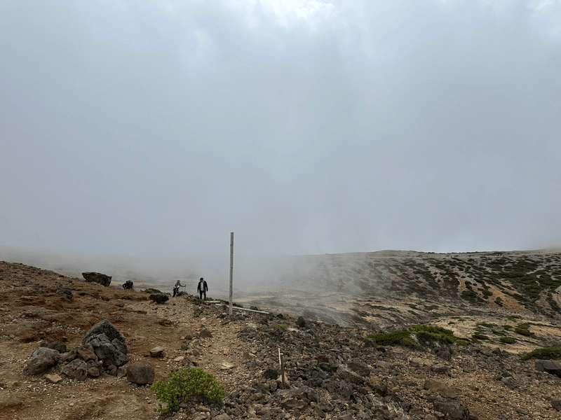
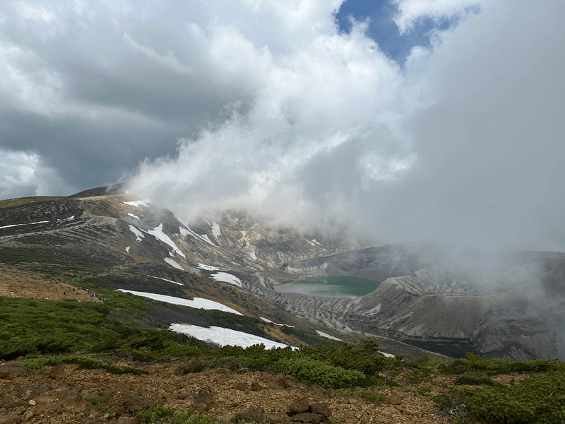
At this point you’ve technically summited Mt Zao, but the green lake is what everyone comes here for, so we proceeded onwards. Worryingly, even though it had started as a sunny day there was some amount of fog rolling in as we approached the crater.
I had heard plenty of stories of people who had climbed Mt Zao but failed to see its lake so I wasn’t 100% optimistic in our chances either.
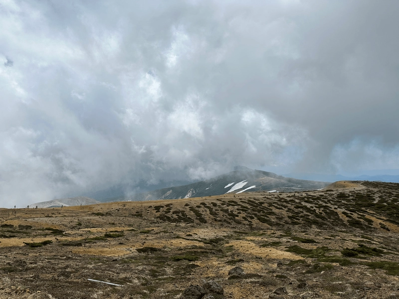
As we got closer, we could see the ridgeline from where you can see the crater. People were peering over the edge and taking photos, so I started to get my hopes up!
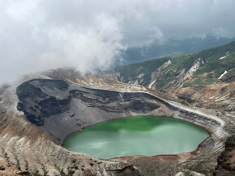
The first view of the crater took my breath away! It is so gorgeous and definitely worth making the trip out here to see.

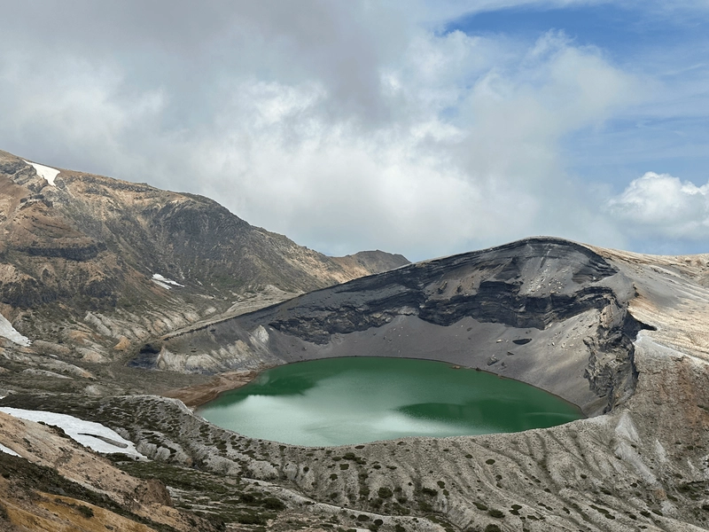
You can keep walking along the ridgeline to get a view of the crater from the other side.
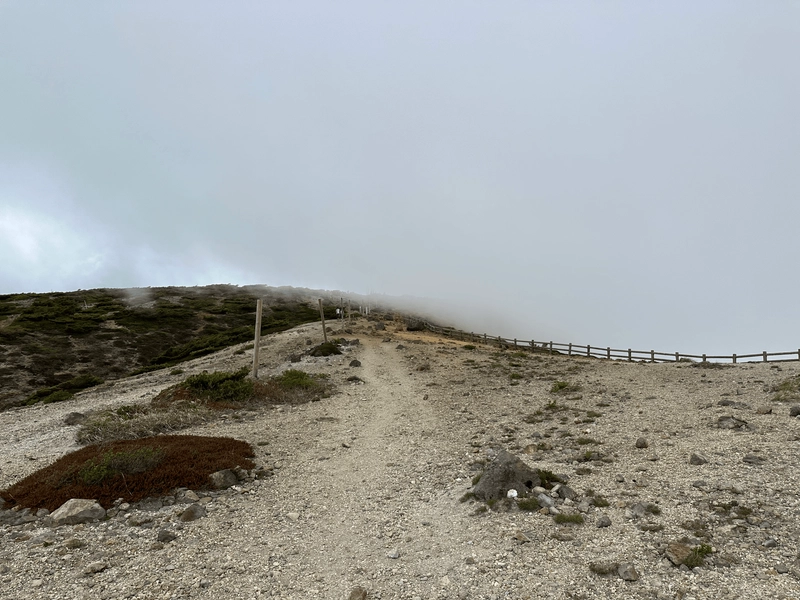
From here, we had reached nearly the halfway point of the trail, and just had one final climb up to Katta-dake (刈田岳) and the Katta Shrine.
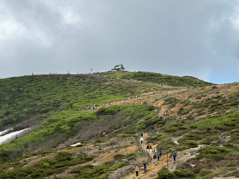
Around here there were plenty of tourists, as there’s a carpark nearby for people who just want to come see the crater.
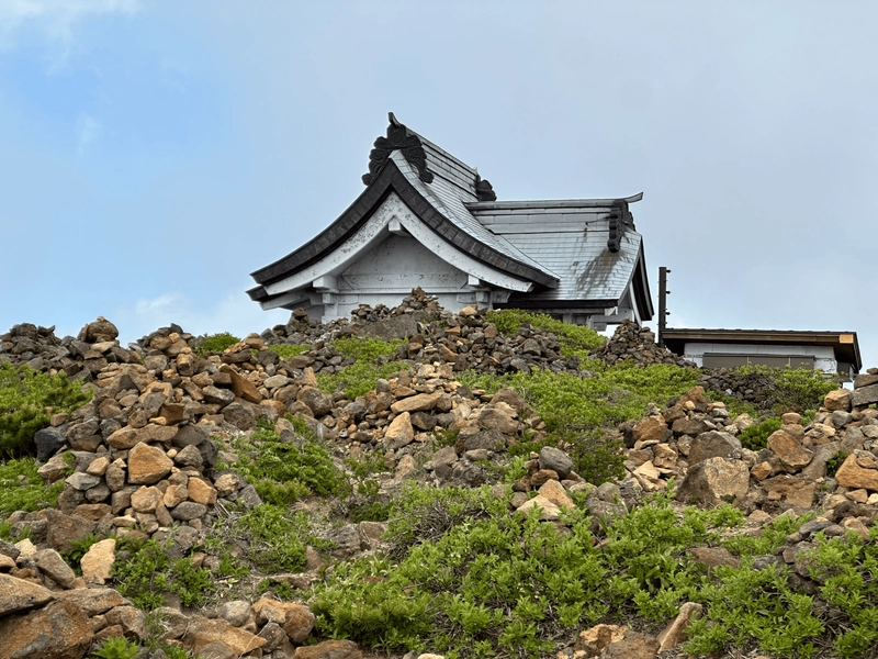
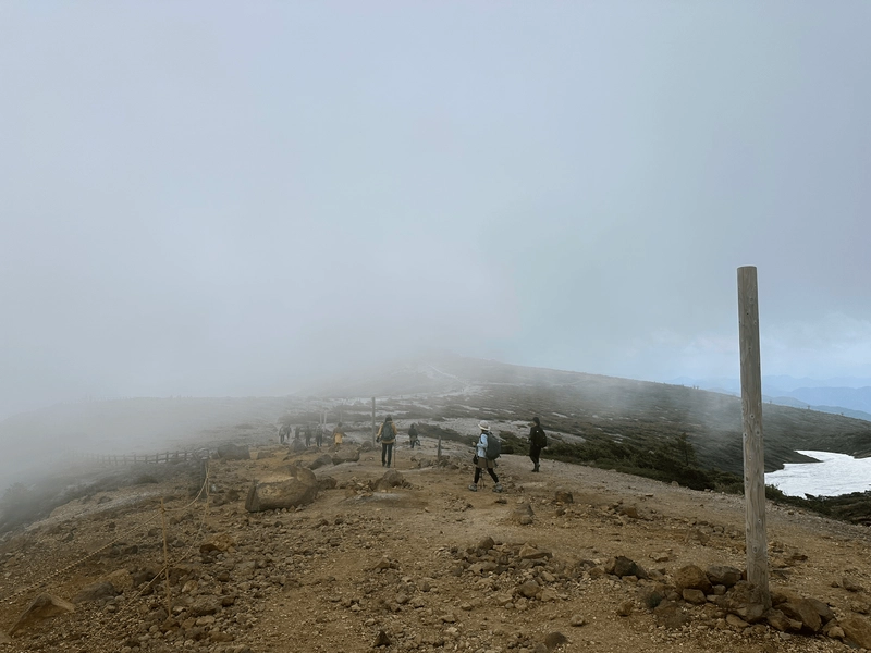
As we sat and ate our lunch near the shrine, we could see the white fog start to roll in.
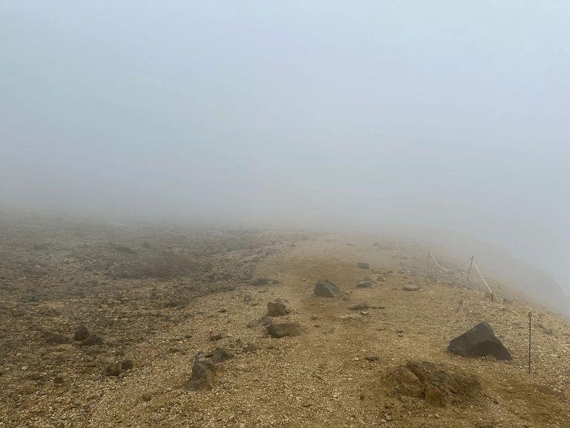
Any hopes we had of seeing the crater on our walk back were gone, as it was completely hidden. This made me feel extra blessed and lucky that we managed to get such a clear view of it at all.
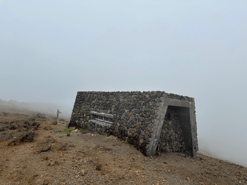
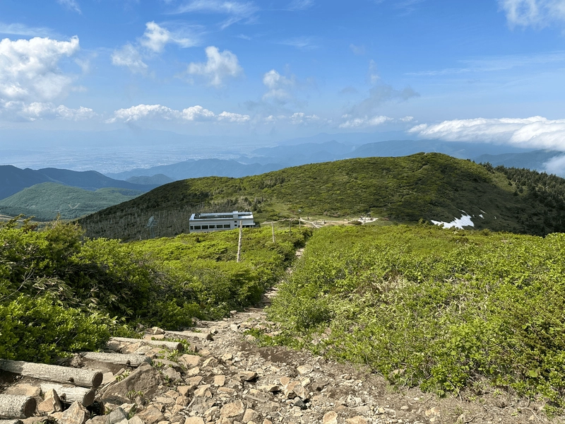
Although the course is mostly the same on the way back, there is the opportunity to make a couple of little detours, so we passed by the Kumanodake Emergency Hut (熊野岳避難小屋). Usually mountain huts are made out of wood, but this one was especially sturdy-looking, and looked to be made of some concrete or rock.
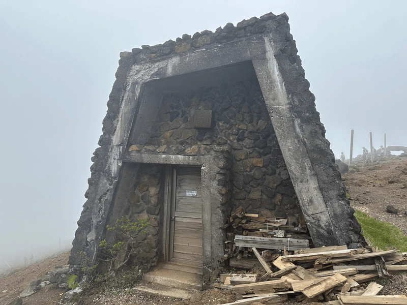
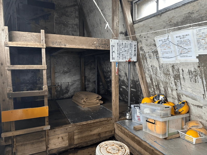
We took a quick look inside. Unlike other mountain huts, this one was also equipped with helmets, and apparently masks too. The area around the crater can still technically erupt, so this hut and a couple of other places on the trail are outfitted with this sort of safety equipment in case of emergency.
From here it was back (mostly) the way we came.
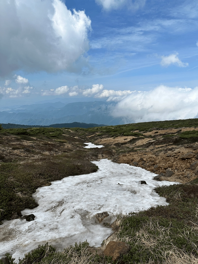
We took the more peaceful mountain path on the way back past Mt Kumanodake, and had a bit of fun passing over a tiny stretch of snow still left over from the winter.
One of the rocks was painted with the sign for a hot spring (♨️) to helpfully guide us back in the direction of the ropeway.
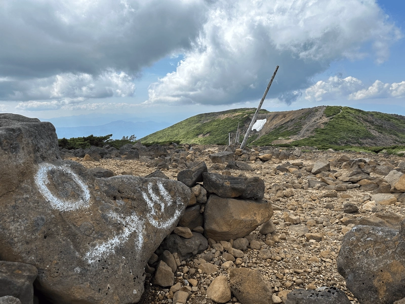
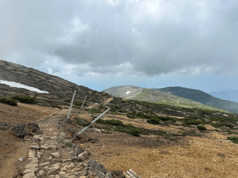
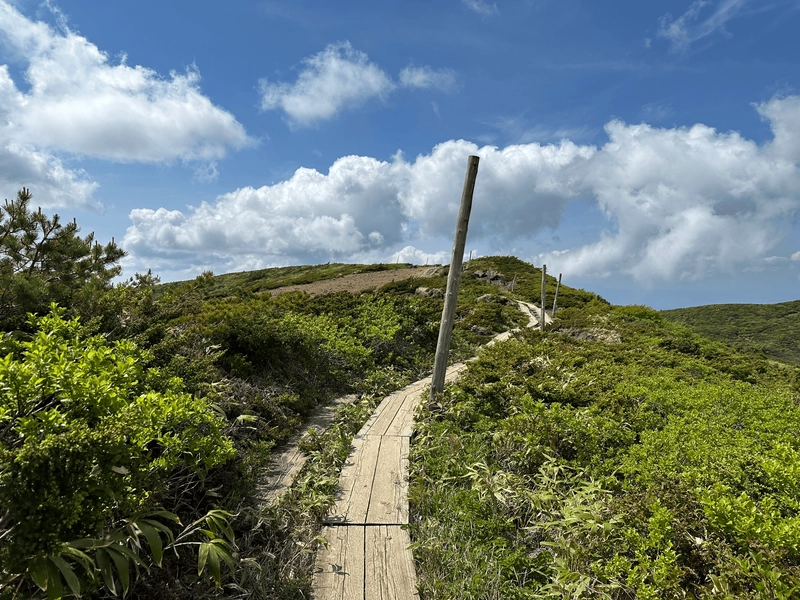
There’s a lot of oddly skewed poles on the trail and I didn’t really understand why they were there at all, but apparently it’s to make sure the course path is still visible in winter with all the snow!
Right next to the ropeway station is a large Jizo statue. If you remember the name of the first peak was Jizo-dake, so I bet it’s named after this guy.

Apparently this Jizo statue was built in 1775, and took 37 years to build.
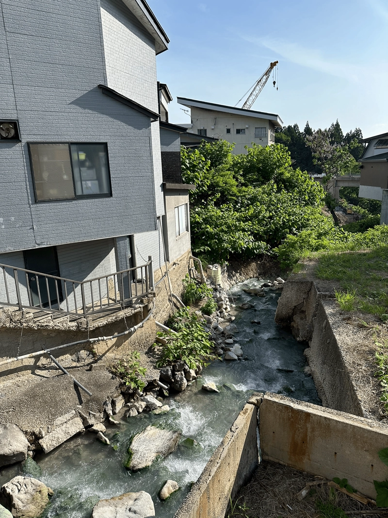
Once we descended back down the mountain, we also made sure to stop off at a local onsen. Zao is also famous for being an onsen town, and has the second most acidic onsen water in all Japan.
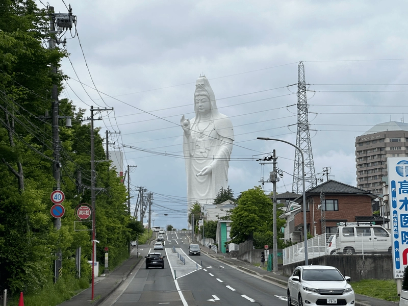
We also spent another Sendai doing some sightseeing. One of my highlights was seeing the Sendai Daikannon, the ninth tallest statue in the world.
Hiking course details
| Date climbed | Length | Course time |
|---|---|---|
| 2024-06-08 | 8.2km | 4h7min (the expected time for an average hiker without breaks) |
The course is a straightforward out-and-back course with less than 500m of elevation gain. There are toilets at either end of the trail.
Public transportation access with example schedule
| Time | Location | Transport | Cost | Notes |
|---|---|---|---|---|
| 06:12 | Tokyo (東京) | Shinkansen | 11450 | |
| 08:58 | Yamagata (山形) | |||
| 09:20 | Yamagata (山形) | Bus | 1200 | Accepts IC |
| 09:57 | Zao Onsen Bus terminal (蔵王温泉バスターミナル) |
The ropeway runs every 15 minutes, and costs 3800 for a roundtrip ticket (you can pay by card). The ropeway is split into two sections, and I would factor in at least 45 minutes between when you get off the bus at Zao Onsen and before you actually can start your hike.
Between mid-June and November, they also sell a discounted bus and ropeway combo ticket for 5000 yen, which you can buy at the office directly across from the bus stop at Yamagata station.
You can view the bus schedule here.
| Time | Location | Transport | Cost | |
|---|---|---|---|---|
| 16:20 | Zao Onsen Bus terminal (蔵王温泉バスターミナル) | 1200 | ||
| 17:05 | Yamagata (山形) | |||
| 18:04 | Yamagata (山形) | 11450 | ||
| 20:48 | Tokyo (東京) | |||
| Trip total: | 27900 |
Car access details
The course I took has you walking from the ropeway terminus to Katta-dake (刈田峠) and then back again. If you’re coming via car, you can park at Katta-dake instead and do the course in reverse, which saves you having to pay the 3800 yen ropeway fee.
Leave a comment